The best road cycling routes around Egginton
4.6
(242)
7,649
riders
407
rides
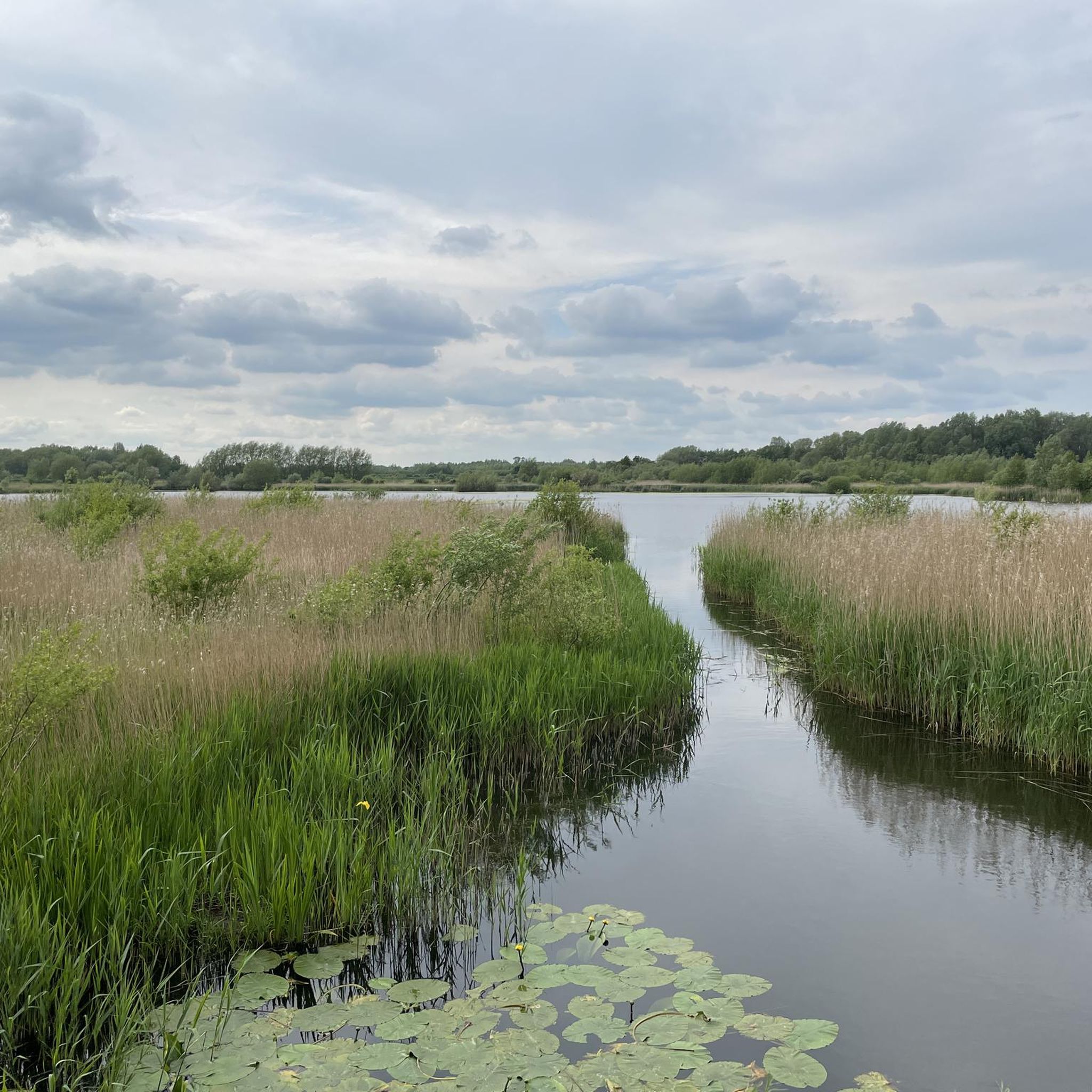
Road cycling routes around Egginton are primarily characterized by the generally flat, rural landscape of the Trent Valley in Derbyshire. The area features a network of waterways, including the River Trent and the historic Trent and Mersey Canal, which influence many routes. Cyclists can find both entirely paved sections and former railway lines converted into dedicated cycle tracks, offering varied terrain. While largely flat, the region's name "Egginton" hints at a slightly elevated position, providing gentle undulations.
Best road cycling…
Last updated: September 29, 2026
61
riders
43.2km
01:55
230m
230m
Easy road ride. Great for any fitness level. Mostly well-paved surfaces and easy to ride.
5.0
(5)
93
riders
40.6km
01:44
290m
290m
Easy road ride. Great for any fitness level. Mostly well-paved surfaces and easy to ride.

40
riders
63.1km
02:48
320m
320m
Moderate road ride. Good fitness required. Mostly well-paved surfaces and easy to ride.
5.0
(2)
22
riders
29.1km
01:14
120m
120m
Easy road ride. Great for any fitness level. Mostly well-paved surfaces and easy to ride.
5.0
(1)
20
riders
28.5km
01:16
160m
160m
Moderate road ride. Great for any fitness level. Some segments of this route may be unpaved and difficult to ride.
Get access to more routes and recommendations from other explorers.
Already have an account?
Our route recommendations are based on thousands of hikes, rides, and runs completed by other people on komoot.
Start today with a free account
Your next adventure awaits.


Tips from the Community

The village sits by the River Dove. This river marks the border between Derbyshire and Staffordshire. The name comes from "mersc-tun". In Old English, this means a "marsh settlement" near the river.
0
0

Surface is gravel and at times quite rocky so only suitable for gravel or MTB.
0
0
I think you can buy cheese from the factory shop.
0
0
It’s a great ride along country lanes and very little traffic.
0
0


Swarkerstone locks great to watch the canel boats path flat
1
0
Frequently Asked Questions
What kind of terrain can I expect on road cycling routes around Egginton?
Road cycling routes around Egginton are primarily characterized by the generally flat, rural landscape of the Trent Valley in Derbyshire. You'll find a mix of entirely paved sections suitable for all abilities, and former railway lines converted into dedicated cycle tracks. While largely flat, the region's name hints at a slightly elevated position, providing gentle undulations rather than significant climbs.
How many road cycling routes are available in the Egginton area?
There are over 440 road cycling routes available around Egginton, catering to various fitness levels. This includes more than 150 easy routes, over 260 moderate options, and a selection of more challenging trails.
Are there any family-friendly road cycling routes in Egginton?
Yes, the area offers several family-friendly options, particularly along the flat, well-maintained towpaths of the Trent and Mersey Canal and the dedicated cycle tracks on former railway lines. These traffic-free environments are perfect for all ages and skill levels. Many of the easy routes, such as the Radbourne Lane – Longford Old Mill loop from Hilton CP, are suitable for families.
What interesting landmarks or natural features can I see while cycling near Egginton?
The routes often feature tranquil scenery influenced by waterways like the River Trent and the historic Trent and Mersey Canal. You might pass through wildflower meadows and community woodlands. Notable landmarks include the medieval Monks Bridge (Egginton Bridge) dating back to 1257, and the unique 'Crinkle-Cranklie Wall' at St Wilfrid's Church. You can also explore natural highlights like the Deer Park at Calke Abbey or the Staunton Harold Reservoir.
Are there circular road cycling routes available from Egginton?
Yes, many of the road cycling routes around Egginton are designed as loops, offering convenient circular journeys. Examples include the Marston Lane – Ferry Bridge loop from Willington and the Longford Old Mill – Dirt Path to Longford loop from Hilton CP, which allow you to start and finish at the same point.
What do other road cyclists enjoy most about cycling in Egginton?
The Egginton area is highly rated by the komoot community, with an average score of 4.6 stars from over 180 reviews. Cyclists often praise the tranquil countryside, the well-maintained paths along the Trent and Mersey Canal, and the variety of routes that cater to different abilities, from easy rides to more moderate excursions.
Where can I find parking for cycling routes in Egginton?
While specific parking areas for every route vary, many routes start from nearby villages like Hilton or Willington, which typically offer public parking facilities. For routes utilizing the Cloud Trail or Mickleover Greenway, designated parking areas are often available at trailheads or nearby access points.
Are there any cafes or pubs along the road cycling routes in Egginton?
Yes, the rural landscape around Egginton includes villages and towns where you can find cafes and pubs. Routes that pass through or near communities like Willington, Hilton, or along the Trent and Mersey Canal often have establishments suitable for a refreshment stop. It's always a good idea to check opening times before you set out.
Is the Cloud Trail accessible for road cycling from Egginton?
Yes, the Cloud Trail, a former railway line converted into a dedicated cycle track, is an appealing option for road cyclists in the wider Egginton area. Routes like the Swarkestone Lock – Cloud Trail loop from Willington incorporate sections of this trail, offering a traffic-free and scenic riding experience.
What is the best time of year for road cycling in Egginton?
The best time for road cycling in Egginton is generally during the spring, summer, and early autumn months when the weather is milder and the days are longer. The flat terrain makes it accessible for much of the year, but checking local weather conditions is always recommended, especially during winter when paths might be wet or icy.
Are there any routes that follow the National Cycle Route 6 near Egginton?
Yes, sections of the National Cycle Route 6 pass through the wider South Derbyshire area, including parts that are accessible from Egginton. These routes often utilize canal towpaths or quiet country lanes, providing well-signed paths for cyclists.
Can I access road cycling routes in Egginton using public transport?
Public transport options to Egginton and surrounding villages are available, though they may require some planning to ensure bike accessibility. Local bus services connect Egginton to larger towns like Derby. It's advisable to check with the specific transport provider regarding their policy on carrying bicycles before your journey.
Most popular attractions around Egginton

Get inspired with the komoot mobile app


Explore more
Browse the best Road cycling routes in other regions.
