The best running trails around Simonswald
4.5
(636)
7,802
runners
437
runs
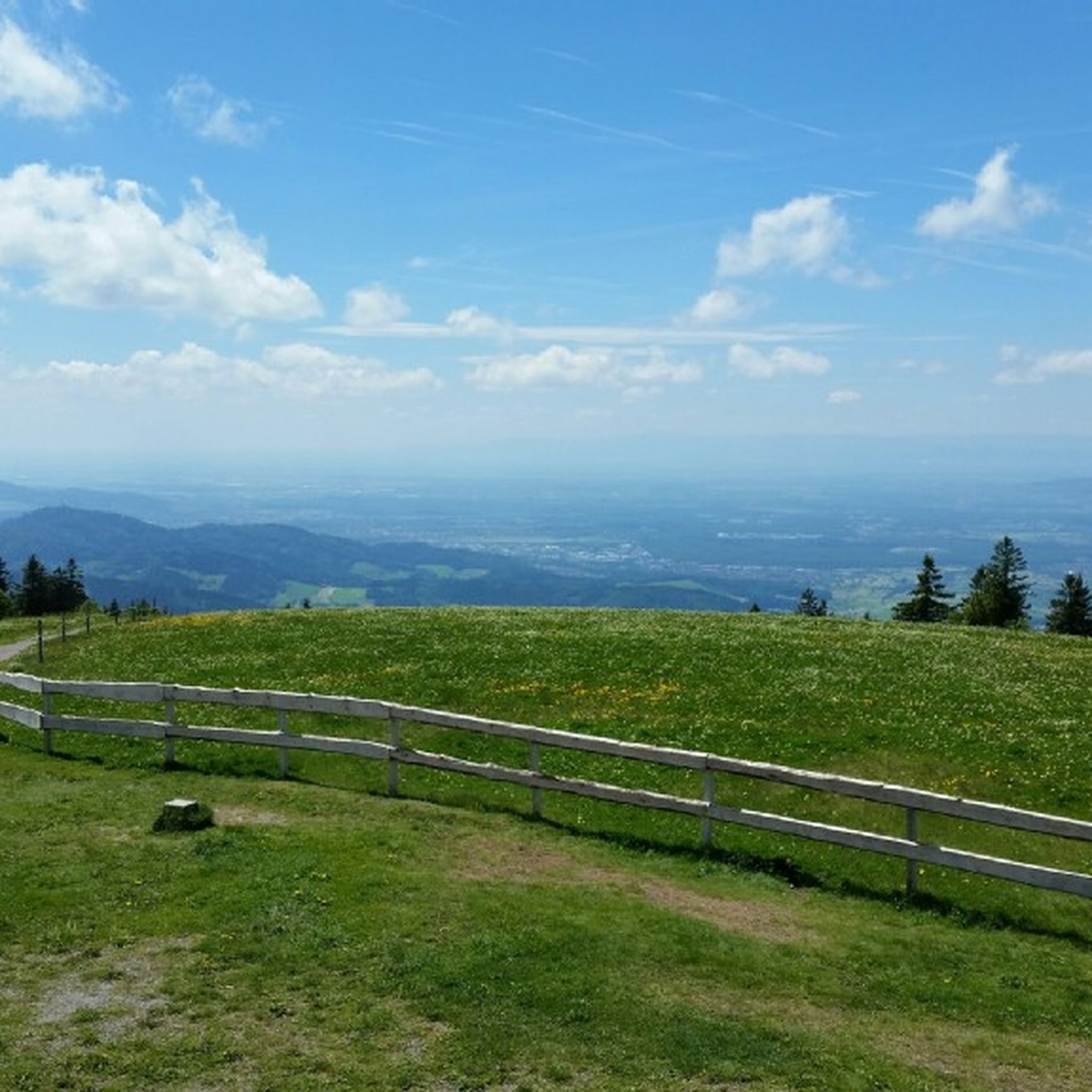
Jogging around Simonswald offers a diverse landscape characterized by dense forests, rolling hills, and scenic valleys of the Black Forest. The region features a network of trails that follow rivers and ascend to viewpoints, providing varied terrain for runners. Elevation changes are common, with routes traversing both gentle slopes and more challenging ascents. The natural environment provides a consistent backdrop of woodland and open vistas.
Best jogging routes around Simonswald
- The most popular jogging route is Schwedenschanze Inn loop from…
Last updated: August 11, 2026
4.2
(5)
64
runners
11.8km
01:17
150m
150m
Moderate run. Good fitness required. Mostly paved surfaces. Suitable for all skill levels.
46
runners
17.7km
01:56
240m
240m
Hard run. Very good fitness required. Mostly paved surfaces. Suitable for all skill levels.

Sign up for free
4.3
(4)
38
runners
Moderate run. Good fitness required. Mostly paved surfaces. Suitable for all skill levels.
30
runners
13.4km
01:25
150m
150m
Moderate run. Good fitness required. Mostly paved surfaces. Suitable for all skill levels.
4.3
(4)
37
runners
6.46km
00:42
100m
100m
Moderate run. Good fitness required. Mostly paved surfaces. Suitable for all skill levels.
Get access to more routes and recommendations from other explorers.
Sign up for free
Already have an account?
Our route recommendations are based on thousands of hikes, rides, and runs completed by other people on komoot.
Start today with a free account
Your next adventure awaits.
Login or Signup
Popular around Simonswald
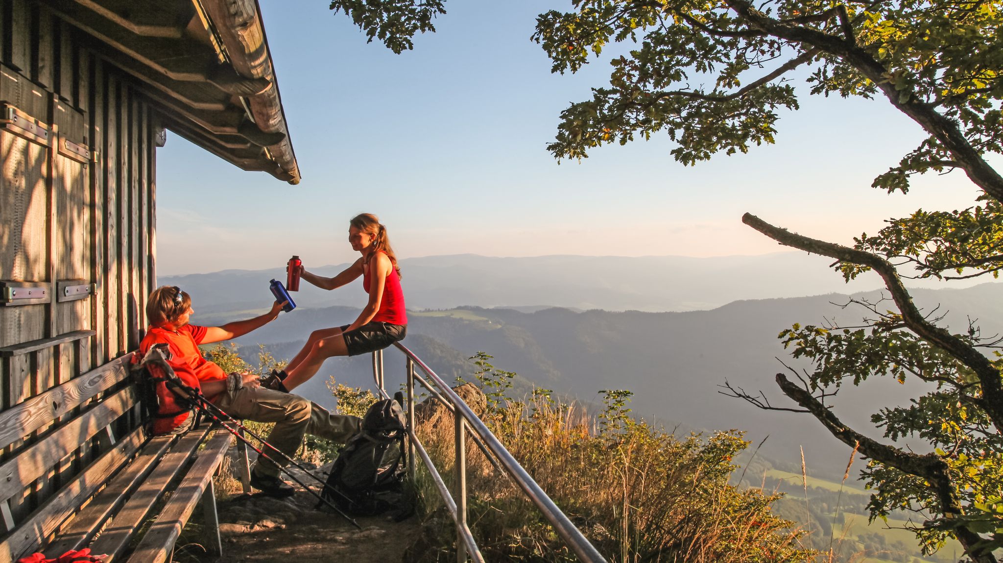
ZweiTälerSteig – 5 stages hiking to discover Germany's Black Forest
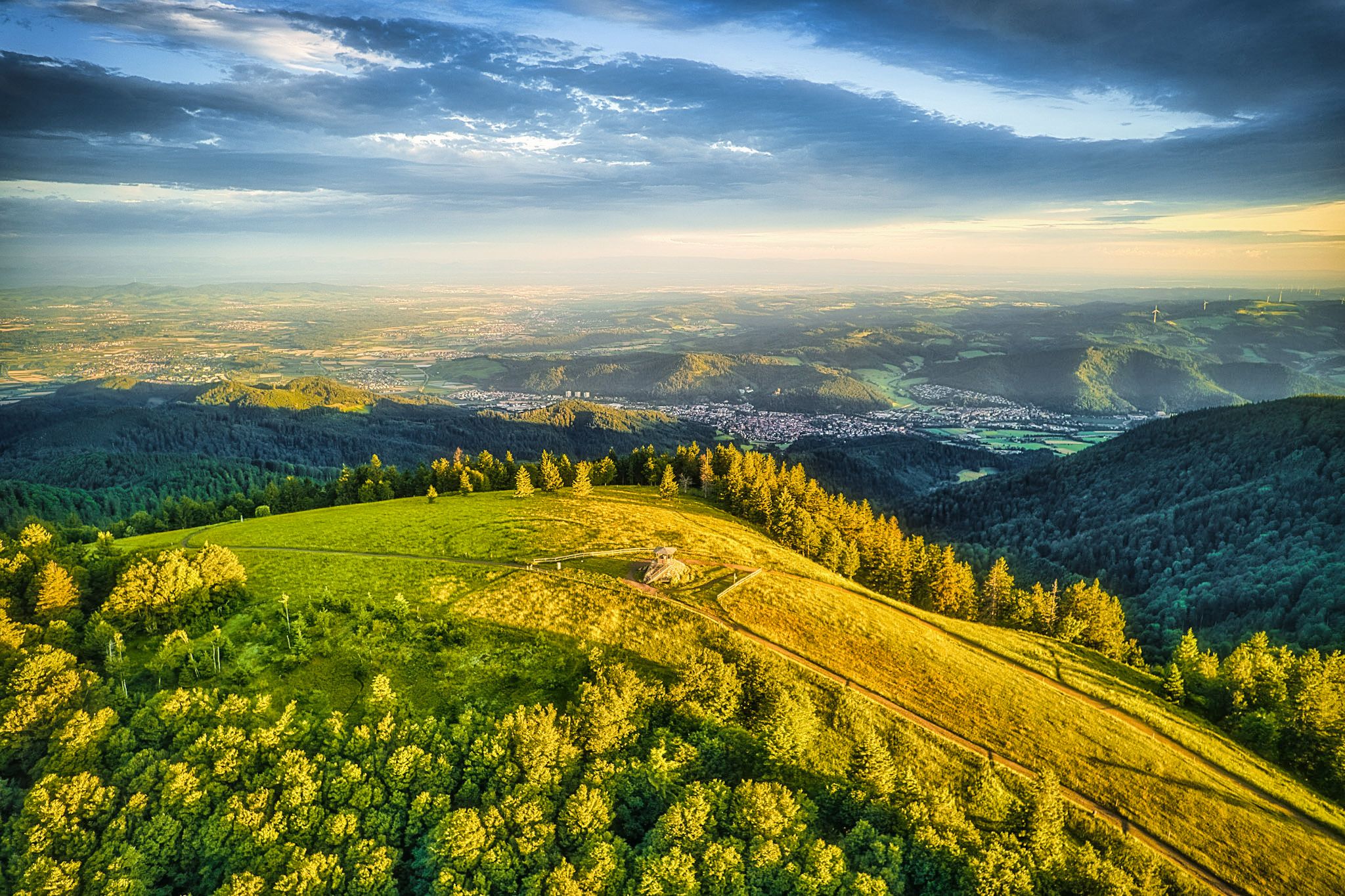
Two valleys, endless views – hiking in the ZweiTälerLand
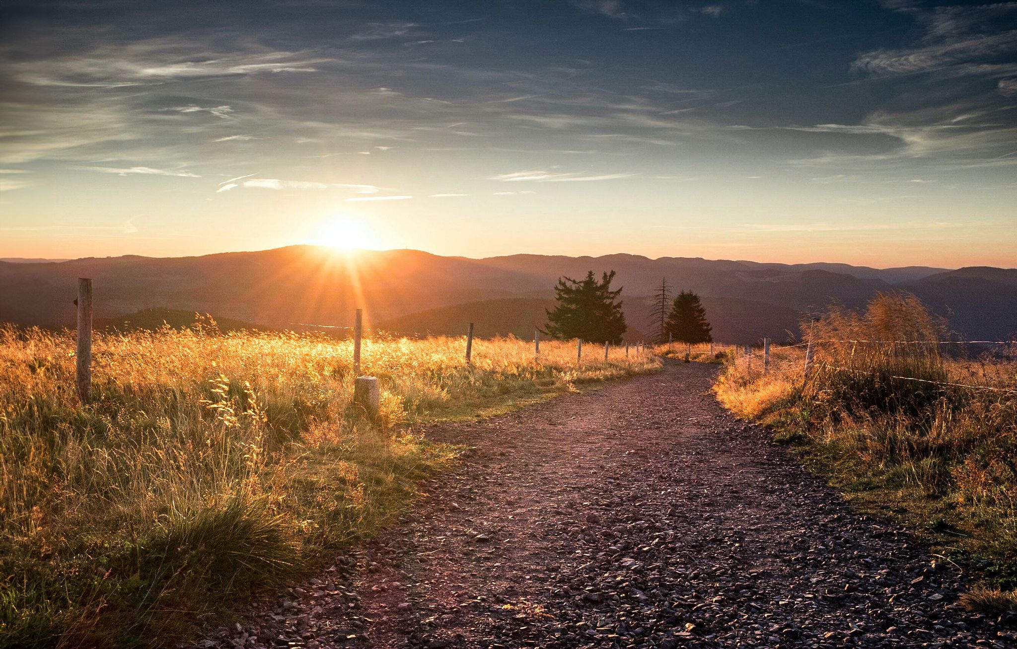
Autumn views on Genießerpfade and quality Tours in the Black Forest
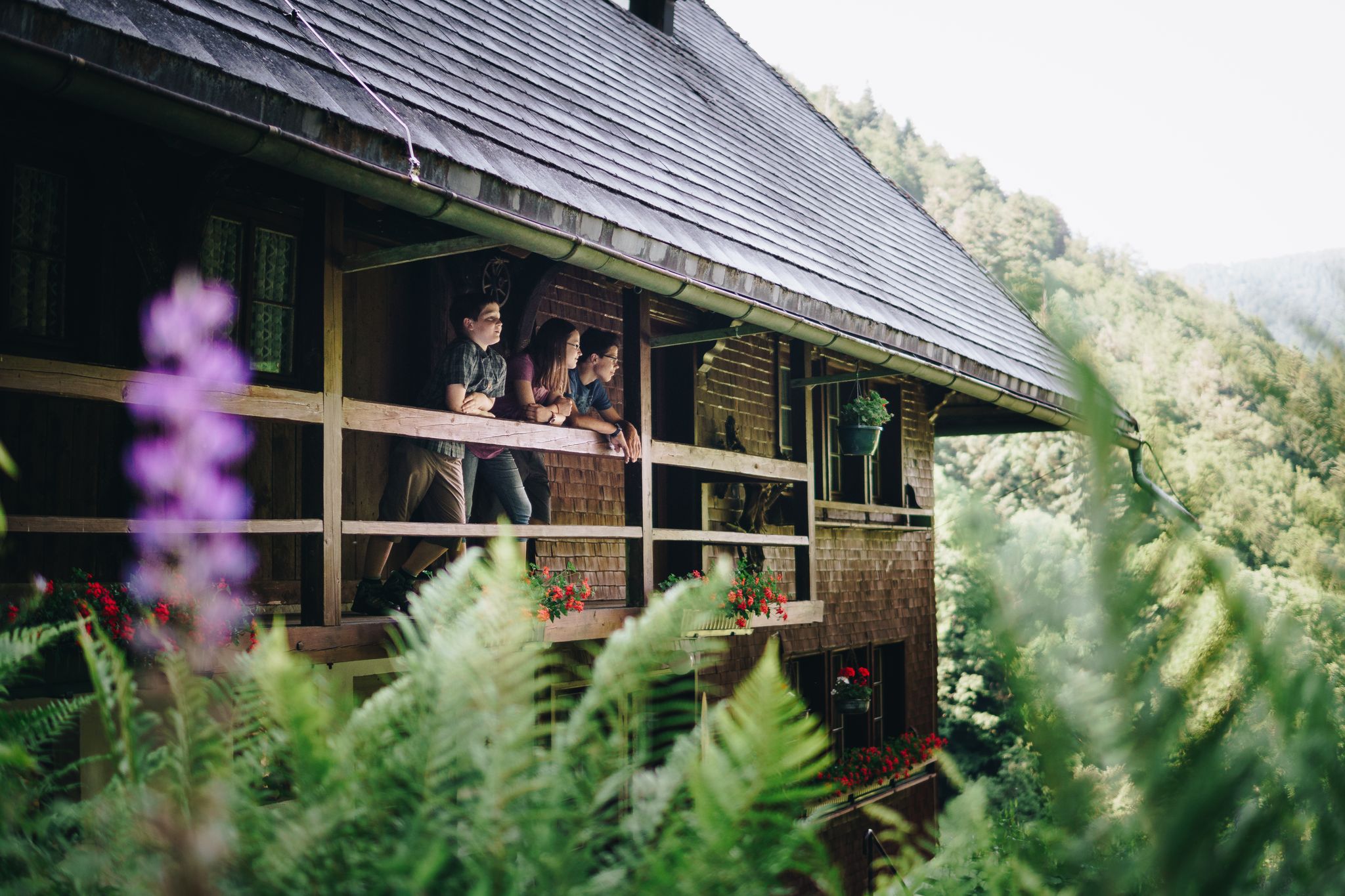
Kids in boots – the most beautiful family Tours in the Black Forest
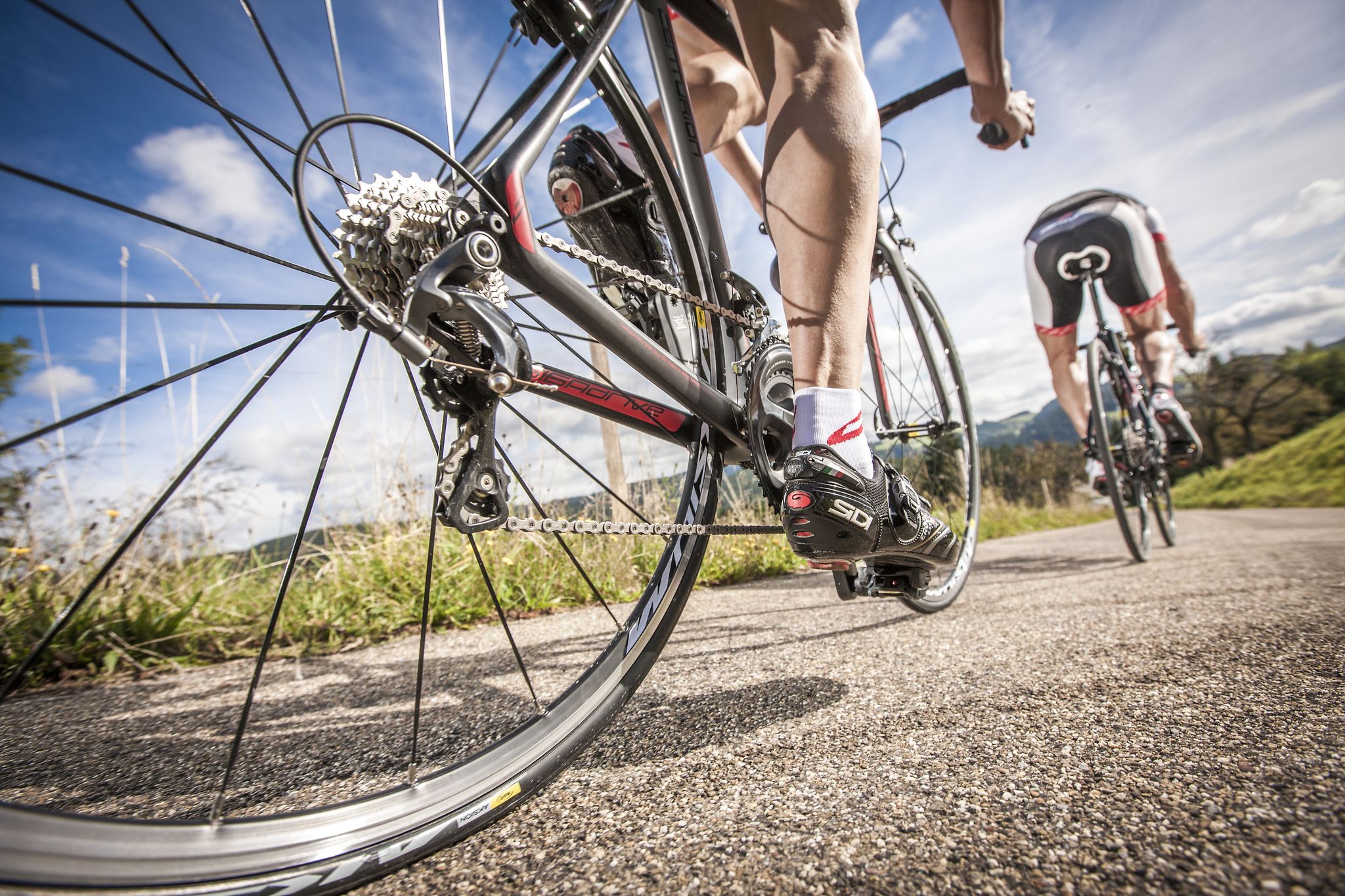
Ride legendary training passes in the Black Forest
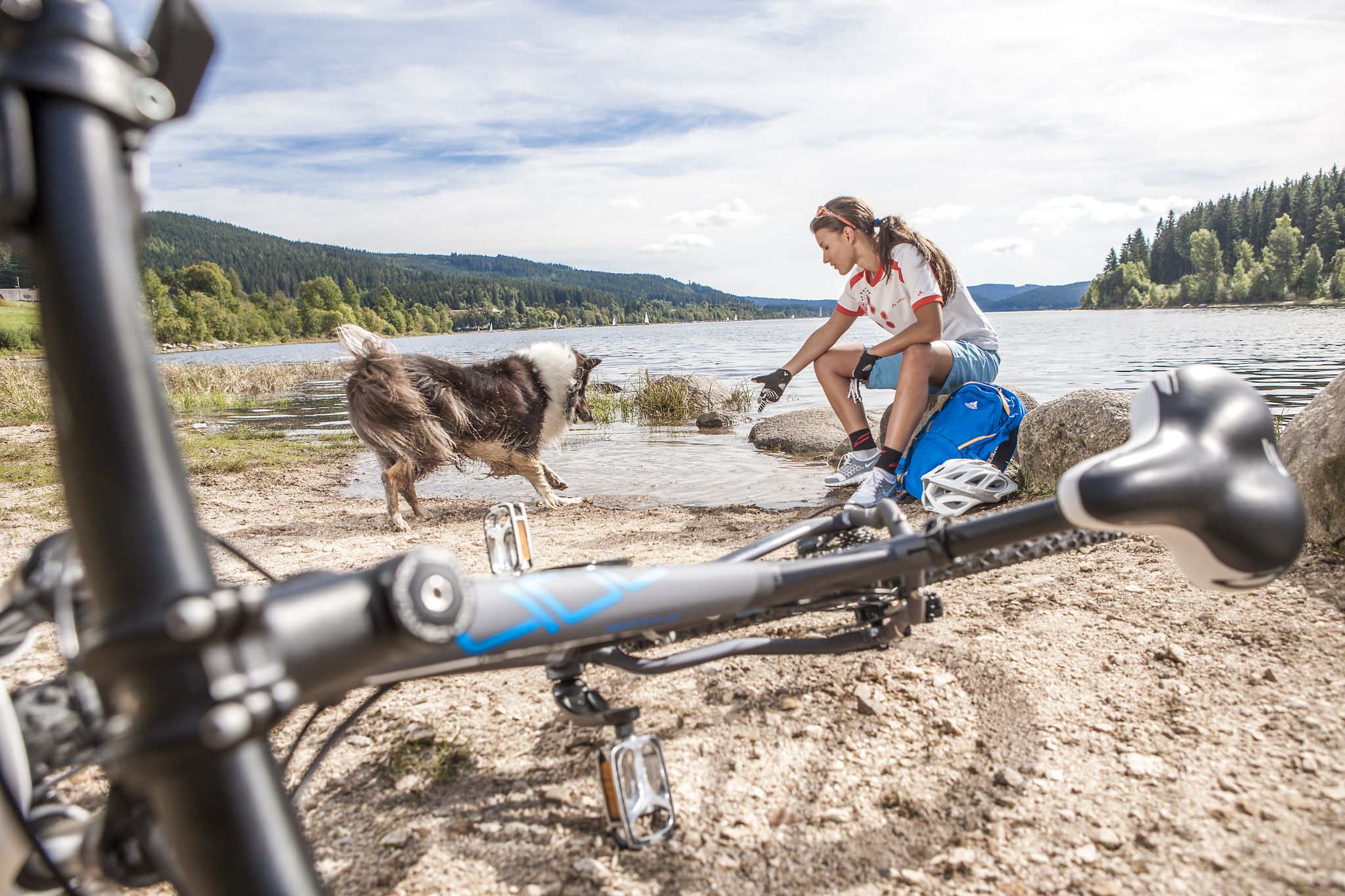
Panoramas, trails and lake hopping – biking in the Black Forest
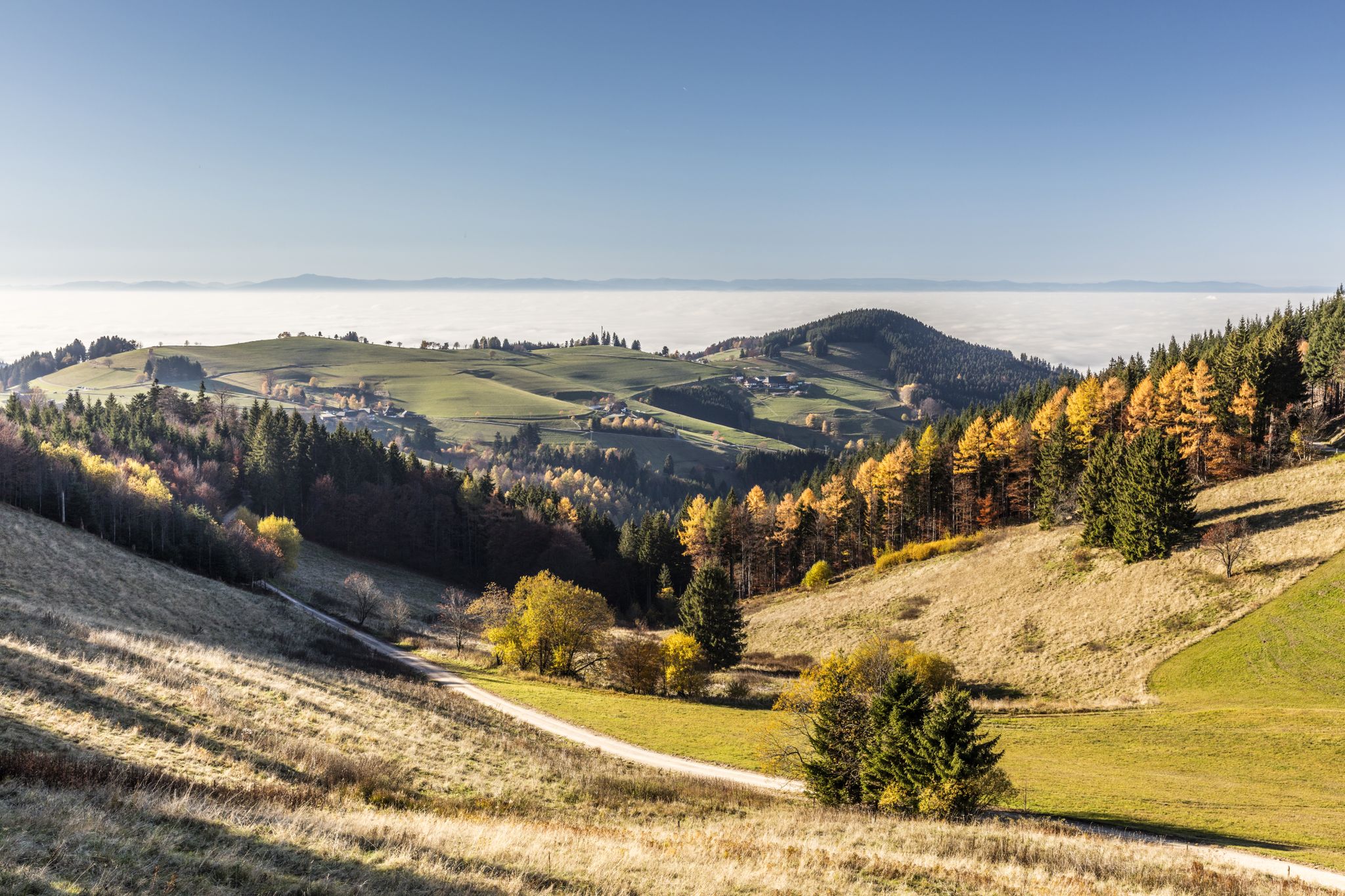
Rendezvous mit dem goldenen Herbst – Mountainbike-Touren durch den Schwarzwald
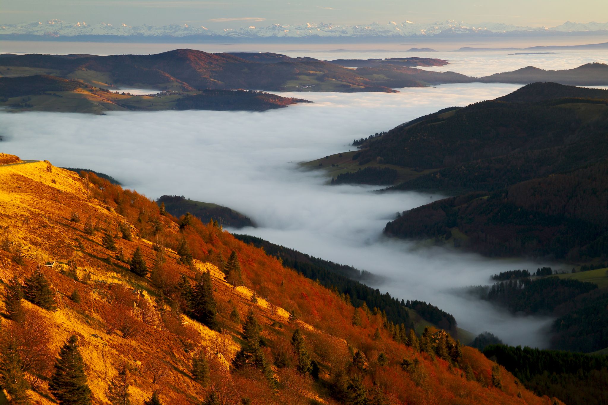
Herbst. Wandern. Farbenspiel.
Hiking around Simonswald
MTB Trails around Simonswald
Other adventures around Simonswald


Tips from the Community

the watershed between the Danube and the Rhine
0
0

The Martinskapelle is located on an old pass road between the Breg and Elz springs, at the height of the Danube-Rhine watershed. The origin of the chapel dates back to pre-Carolingian times. Excavation findings suggest that a sacred building already stood here around 800. Perhaps the road from Furtwangen to the pass summit was already an old La Tène road and there were connections between Celtic and early Christian culture here.
0
0
The European watershed at the Martinskapelle near Furtwangen in the Black Forest separates the catchment area of the North Sea (via the Rhine) from that of the Black Sea (via the Danube) at an altitude of around 1,085 meters. Course of the watershed Rhine catchment area (northwest side): Here the Elz originates, which flows via the Rhine ultimately into the North Sea. Danube catchment area (southeast side): Only about 100 meters from the watershed lies the source of the Breg. The Breg is considered the longest headstream of the Danube, whose water flows into the Black Sea. The separation: A ridge only a few meters wide decides here whether a water droplet begins its journey west to the Rhine or east to the Danube.
0
0
The European watershed at Martinskapelle near Furtwangen in the Black Forest separates the catchment area of the North Sea (via the Rhine) from that of the Black Sea (via the Danube) at an altitude of around 1,085 meters. Course of the watershed Rhine catchment area (northwestern side): The Elz rises here, which ultimately flows into the North Sea via the Rhine. Danube catchment area (southeastern side): Only about 100 meters from the watershed lies the Breg spring. The Breg is considered the longest source river of the Danube, whose waters flow into the Black Sea. The separation: A ridge only a few meters wide decides here whether a water droplet begins its journey west to the Rhine or east to the Danube.
0
0
another highlight of the day
0
0

Nice and friendly
1
0

It is a former anti-aircraft position, part of the West Wall. The anti-aircraft position on the Brend in the Black Forest belonged to the Western Air Defense Zone (LVZ West).
2
0

This is a typical position for an anti-aircraft gun (FLAK) from the Second World War. There were several of these on the Black Forest hills.
3
0
Frequently Asked Questions
How many running routes are available in Simonswald?
Simonswald offers a wide selection of running trails, with over 400 routes available. These range from easy paths to more challenging ascents, catering to various fitness levels.
Are there easy or beginner-friendly jogging paths in Simonswald?
Yes, Simonswald has several easy running paths suitable for beginners. There are 39 routes classified as easy, providing gentle terrain through the scenic Black Forest landscape. For a moderate option that's not too long, consider the View of Martinskapelle – St. Martin's Chapel, Furtwangen loop from Bregquelle, which is 6.6 km.
What are some challenging running routes in Simonswald?
For runners seeking a challenge, Simonswald features 108 difficult routes with significant elevation changes. A notable option is the Günterfelsen – Brend Tower loop from Rohrhardsberg - Obere Elz, a demanding 19.5 km path that leads to the Brend Tower, offering expansive views.
Can I find circular running routes in Simonswald?
Many of the running trails in Simonswald are designed as loops, allowing you to start and finish at the same point. An example of a popular circular route is the Schwedenschanze Inn loop from Rohrhardsberg - Obere Elz, a moderate 11.8 km trail.
Are there running routes in Simonswald with good views?
Absolutely. The region is known for its panoramic viewpoints. Routes like the Günterfelsen – Brend Tower loop offer expansive vistas from the Brend Tower. You can also find trails with views of landmarks such as the Martinskapelle, like the View of Martinskapelle – St. Martin's Chapel, Furtwangen loop.
What do other runners say about the trails in Simonswald?
The running trails in Simonswald are highly regarded by the komoot community, holding an average rating of 4.5 stars from over 500 reviews. Runners frequently praise the diverse landscape, including dense forests, river valleys, and panoramic viewpoints, as well as the well-maintained network of trails.
Are there any interesting landmarks or attractions along the running routes?
Yes, Simonswald's trails often pass by historical and natural landmarks. You might encounter various mountain passes such as Gscheid Pass or Spirzen Pass. The area also features several castle ruins, including Kastelburg Castle Ruins and Keppenbach Castle Ruins, offering scenic points of interest during your run.
Are there running routes suitable for families in Simonswald?
Simonswald offers a selection of easier and moderate routes that are well-suited for families. These trails typically feature less challenging terrain and provide opportunities to enjoy the natural surroundings together. Look for routes classified as 'easy' or shorter 'moderate' loops.
Can I find running routes with parking facilities in Simonswald?
Many trailheads in Simonswald, especially those starting from popular access points or villages, offer designated parking areas. It's advisable to check the specific route details on komoot for information on parking availability near your chosen starting point.
Are there any running routes accessible by public transport in Simonswald?
Simonswald is part of the Black Forest region, which has a public transport network. While specific route access varies, many villages and trailheads can be reached by bus. Planning your route with public transport in mind is recommended, especially for linear routes or if you prefer not to drive.
What is a good moderate-distance running route in Simonswald?
For a moderate-distance run, the View of Martinskapelle – Brend Naturefriends House loop from Bregquelle is a great option. It covers 6.4 km and offers varied terrain, typically completed in about 40 minutes.
Are there longer, moderate running trails available?
Yes, if you're looking for a longer run that isn't overly difficult, consider the Brend Naturefriends House – Günterfelsen loop from Bregquelle. This moderate route spans 13.3 km, providing a good workout through the scenic landscape.
Most popular routes around Simonswald
Most popular attractions around Simonswald

Get inspired with the komoot mobile app


Explore more
Browse the best Running Trails & Routes in other regions.
