The best mountain hikes in Schwarzwald-Baar-Kreis
4.5
(4)
20
hikers
10
hikes
Mountaineering routes in Schwarzwald-Baar-Kreis traverse a diverse landscape, from the dense forests of the Black Forest to the open Baar plateau. The region features significant gorges like the Gauchachschlucht and Schlüchttal, offering challenging terrain and impressive rock formations. Peaks such as Rohrhardsberg and Brend provide elevated views, while rivers like the Danube and Breg originate within the district. This varied topography supports both demanding hikes and rock climbing opportunities, aligning with a broader definition of mountaineering.
Best mountaineering routes in…
Last updated: October 5, 2026
3
hikers
Moderate mountaineering route. Good fitness required. Mostly accessible paths. Sure-footedness required.
1
hikers
Moderate mountaineering route. Good fitness required. Easily-accessible paths. Suitable for all skill levels.

5.0
(1)
2
hikers
6.96km
02:19
220m
220m
Moderate mountaineering route. Good fitness required. Mostly accessible paths. Sure-footedness required.
2
hikers
7.83km
02:09
130m
130m
Moderate mountaineering route. Good fitness required. Easily-accessible paths. Suitable for all skill levels.
3.0
(1)
2
hikers
6.27km
01:45
120m
120m
Easy mountaineering route. Great for any fitness level. Easily-accessible paths. Suitable for all skill levels.
1
hikers
5.02km
02:18
360m
360m
Moderate mountaineering route. Good fitness required. Mostly accessible paths. Sure-footedness required.
5.0
(1)
2
hikers
14.4km
04:40
630m
630m
Moderate mountaineering route. Good fitness required. Mostly accessible paths. Sure-footedness required.
2
hikers
14.1km
04:11
420m
420m
Moderate mountaineering route. Good fitness required. Easily-accessible paths. Suitable for all skill levels.
Moderate mountaineering route. Good fitness required. Mostly accessible paths. Sure-footedness required.
Our route recommendations are based on thousands of hikes, rides, and runs completed by other people on komoot.
Start today with a free account
Your next adventure awaits.
Popular around Schwarzwald-Baar-Kreis

Mountain Hikes around Triberg

Mountain Hikes around St. Georgen im Schwarzwald
Mountain Hikes in Hochwald
Mountain Hikes around Schonach im Schwarzwald

Mountain Hikes around Furtwangen

Mountain Hikes around Gütenbach
Mountain Hikes in Röhlinswald
Mountain Hikes in Rohrhardsberg - Obere Elz
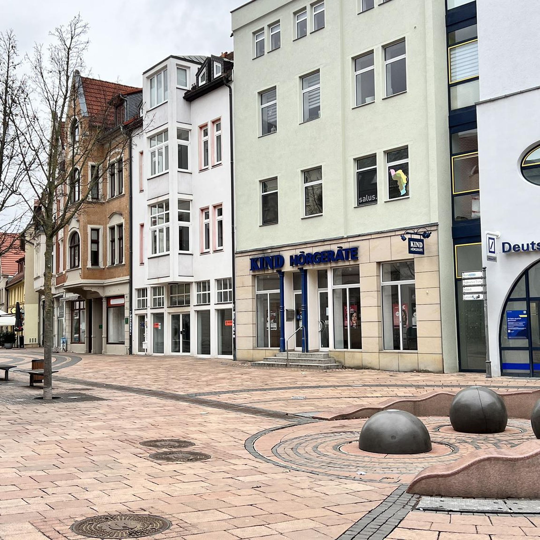
Mountain Hikes around Schönwald im Schwarzwald
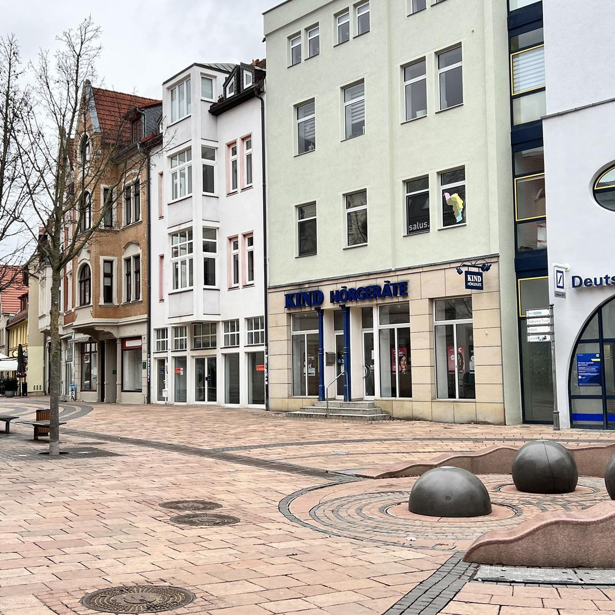
Mountain Hikes around Vöhrenbach
Other adventures in Schwarzwald-Baar-Kreis


Tips from the Community

The Turmhütte on the Mooswaldkopf, built in 1904, was converted in 1923/24 into the "Memorial House of the Fallen of the World War 1914-18 from the Württemberg Black Forest Association". Today's Gedächtnishaus Fohrenbühl is a popular destination with a large terrace. From the platform of the 24-meter-high observation tower, you can enjoy a fantastic panoramic view over the Central Black Forest. You can also stay overnight in the Turmhütte. Handmade souvenirs are available in the small on-site ceramic shop. All information can be found at https://www.turmhuette.de/.
2
0

The view of the ski jumping facility and down into the valley is impressive!
0
0

the watershed between the Danube and the Rhine
0
0

The European watershed at Martinskapelle near Furtwangen in the Black Forest separates the catchment area of the North Sea (via the Rhine) from that of the Black Sea (via the Danube) at an altitude of around 1,085 meters. Course of the watershed Rhine catchment area (northwestern side): The Elz rises here, which ultimately flows into the North Sea via the Rhine. Danube catchment area (southeastern side): Only about 100 meters from the watershed lies the Breg spring. The Breg is considered the longest source river of the Danube, whose waters flow into the Black Sea. The separation: A ridge only a few meters wide decides here whether a water droplet begins its journey west to the Rhine or east to the Danube.
0
0

Access to platform 2 and 3 is at ground level via the yellow marked crossing. Approx. 10 minutes before a train arrives or passes, the crossing is closed with a barrier. So you have to be on the platform in good time beforehand.
0
0
Tracks 2 (RS to Hausach) and 3 (RE2 to Karlsruhe) can be reached at ground level via a yellow-marked path that goes over the tracks. Approximately 5-10 minutes before the train arrives, this passage is closed by a barrier. Then there is no longer a connection. So you have to be at the platform in good time.
0
0

Unfortunately, the Hintereck is temporarily closed.
0
0

Frequently Asked Questions
How many mountaineering routes are available in Schwarzwald-Baar-Kreis?
There are 17 mountaineering routes in Schwarzwald-Baar-Kreis listed on komoot, offering a diverse range of experiences from moderate ascents to more challenging trails.
What are the difficulty levels of mountaineering routes in Schwarzwald-Baar-Kreis?
The routes in Schwarzwald-Baar-Kreis cater to various skill levels. You'll find 1 easy route, 14 moderate routes, and 2 difficult routes. The difficult routes, such as the Wehrlehof Mill – Schultiskopf (1,072 m) loop from Simonswald, often involve significant elevation gain and require good fitness and sure-footedness.
Are there any family-friendly mountaineering routes in Schwarzwald-Baar-Kreis?
While many routes are moderate, some are suitable for families with older children or those accustomed to hiking. For a moderate option that explores a scenic gorge, consider the Gauchach Gorge – Gauchach Waterfall loop from Mundelfingen, which is shorter and features natural attractions.
What kind of natural attractions can I see along the mountaineering routes?
The Schwarzwald-Baar-Kreis is rich in natural beauty. You can explore dramatic gorges like the Gauchachschlucht and Schlüchttal, and witness impressive waterfalls such as the Triberg Waterfalls or the Wildgutach Waterfall, which you can see on the Wildgutach Waterfall – Hintereck Hut loop from Gütenbach. The region also features significant moorland like Schwenninger Moos and various mountain peaks offering panoramic views.
Are there any circular mountaineering routes in the area?
Yes, many mountaineering routes in Schwarzwald-Baar-Kreis are circular, allowing you to start and end at the same point. Examples include the challenging Tannegger Waterfall – Rock Gallery (Wutach Gorge) loop from Wutachschlucht and the moderate Uhufelsen loop from Tannenhöhe.
What is the best season for mountaineering in Schwarzwald-Baar-Kreis?
The best season for mountaineering in Schwarzwald-Baar-Kreis is generally from spring to autumn, when trails are clear of snow and weather conditions are more stable. During winter, some higher peaks in the wider Black Forest region offer ski tours, but specific mountaineering routes might be challenging due to snow and ice.
Are there any routes that feature waterfalls?
Absolutely. The region is known for its waterfalls. You can experience the Tannegger Waterfall – Rock Gallery (Wutach Gorge) loop from Wutachschlucht, which explores the Wutach Gorge and its impressive rock formations and waterfalls. Another option is the Wildgutach Waterfall – Hintereck Hut loop from Gütenbach.
What do other mountaineers enjoy most about the routes in Schwarzwald-Baar-Kreis?
The mountaineering routes in Schwarzwald-Baar-Kreis are highly rated by the komoot community, with an average score of 5.0 stars. Reviewers often praise the diverse landscapes, from dense Black Forest woodlands to dramatic gorges, and the impressive rock formations found along the trails.
Are there any specific peaks or viewpoints accessible via mountaineering routes?
Yes, the region offers several peaks and viewpoints. The Wehrlehof Mill – Schultiskopf (1,072 m) loop from Simonswald leads to the Schultiskopf peak, providing elevated views. Other notable summits in the district include Rohrhardsberg and Brend, home to the Brend Tower, as well as Buchberg Summit and Himmelberg Summit, which offer extensive vistas.
Are there any cafes or places to eat near the mountaineering trails?
While specific cafes are not listed for every route, the Schwarzwald-Baar-Kreis has various towns and villages where you can find refreshments. Many trails, especially longer loops, may pass by or near traditional Black Forest inns or huts. For example, the Hintereck Hut – Wildsaupfad Trail loop from Gütenbach suggests a hut along the way.
Are dogs allowed on the mountaineering routes in Schwarzwald-Baar-Kreis?
Generally, dogs are welcome on hiking trails in the Schwarzwald-Baar-Kreis, but it's always advisable to keep them on a leash, especially in nature reserves, near wildlife, or when passing through agricultural areas. Always carry water for your dog and be mindful of other hikers.
Are there any hidden gems or less-known routes for mountaineering in the region?
Beyond the most popular trails, the Schwarzwald-Baar-Kreis offers many paths that provide a sense of discovery. Exploring the wild, jungle-like environment of the Gauchachschlucht, for instance, on routes like the Gauchach Gorge – Gauchach Waterfall loop from Mundelfingen, can feel like a true hidden gem, requiring good footwear and sure-footedness due to paths often running close to or over water-submerged stones.
Most popular routes in Schwarzwald-Baar-Kreis
Most popular attractions in Schwarzwald-Baar-Kreis

Get inspired with the komoot mobile app


Didn’t find what you were looking for?
Check out more Mountain Hikes & Routes throughout Schwarzwald-Baar-Kreis below and find the perfect route in your destination.
Explore more
Browse the best Mountain Hikes & Routes in other regions.
