The best running trails around Hohberg
4.5
(63)
376
runners
54
runs
Jogging routes around Hohberg are situated at the western edge of Germany's Black Forest, offering varied landscapes for outdoor activity. The region is characterized by a forested environment, providing trails with softer surfaces that can reduce impact on joints. Elevations range from 157 to 300 meters above sea level, ensuring a naturally hilly and diverse terrain suitable for different jogging workouts. The presence of both mostly accessible paths and those with varied inclines allows for both leisurely runs and more…
Last updated: November 1, 2026
4.3
(3)
27
runners
8.28km
00:52
10m
10m
Moderate run. Good fitness required. Mostly paved surfaces.
5.0
(3)
15
runners
6.47km
00:41
10m
10m
Moderate run. Good fitness required. Mostly paved surfaces.

5.0
(4)
9
runners
6.87km
00:42
20m
20m
Moderate run. Good fitness required. Mostly paved surfaces.
22
runners
4.66km
00:29
10m
10m
Easy run. Mostly paved surfaces.
5.0
(1)
10
runners
8.79km
00:58
150m
150m
Moderate run. Good fitness required. Mostly paved surfaces.
Get access to more routes and recommendations from other explorers.
Already have an account?
Our route recommendations are based on thousands of hikes, rides, and runs completed by other people on komoot.
Start today with a free account
Your next adventure awaits.

Tips from the Community

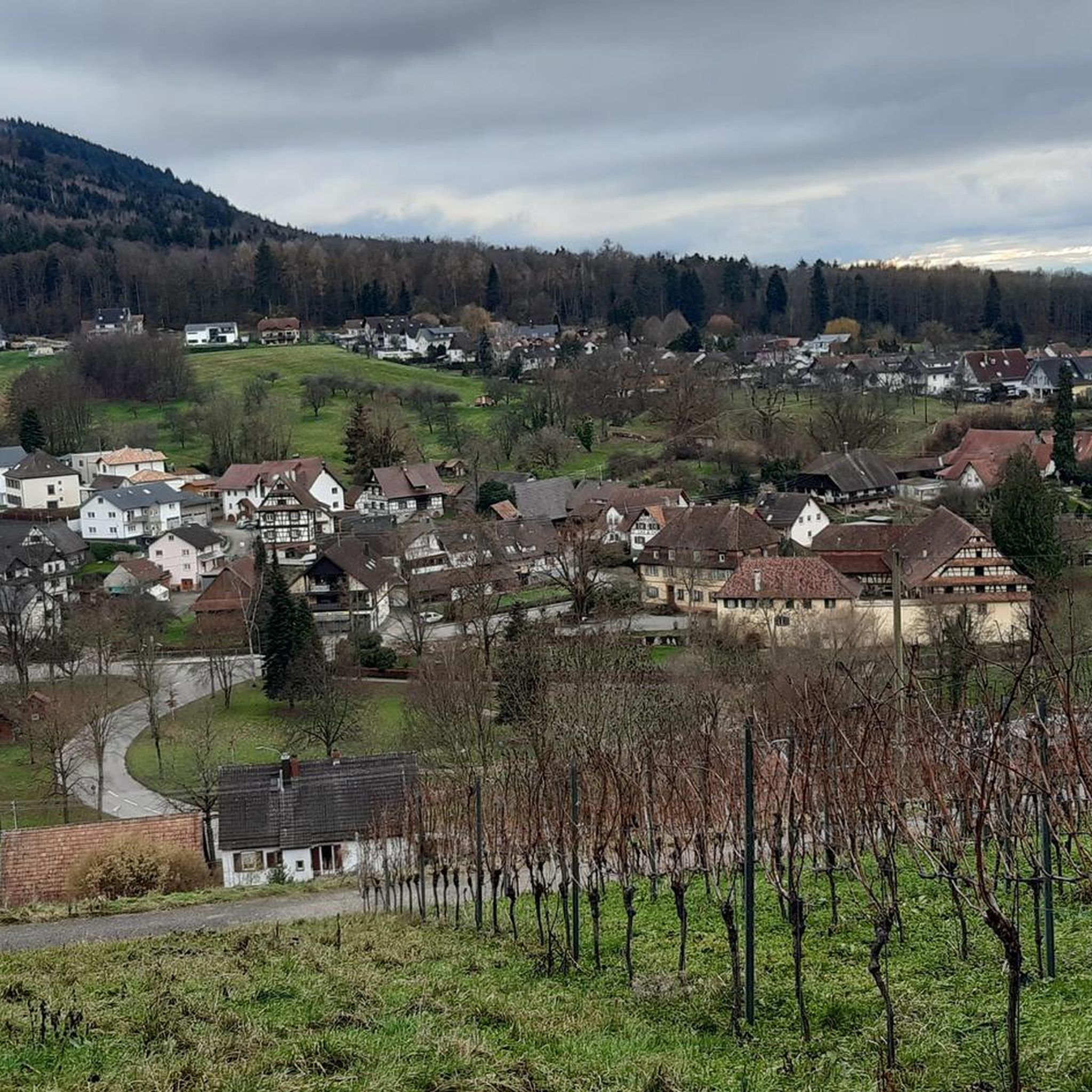
Ideal place for a short rest or simply to pause. Its beginnings probably date back to the 8th century. In 1136, Pope Innocent II confirms the possession of Schuttern Abbey (Maria Hilf) in Schopfheim with church and patronage. The Leutkirche is first mentioned in documents in 1343 as a parish church. Since the 14th century, there has been a pilgrimage to the Mother of Grace Maria Hilf. In 1695, the Leutkirche is described as dilapidated. It lay in ruins until 1750. *Around 1760, the choir was restored. After 200 years, in 1905, the roofless nave in the eastern part was covered. During the renovation of the choir, frescoes from the 16th century came to light. In 1962/64, the "nave" was covered and the church was renovated from the ground up.
0
0

Small church in the middle of the green between Nieder- and Oberschopfheim.
1
0
Frequently Asked Questions
How many running routes are available in Hohberg?
Hohberg offers a diverse network of over 40 running routes. These trails cater to various fitness levels, with options ranging from easy, leisurely jogs to more challenging runs with significant elevation changes.
What kind of terrain can I expect on Hohberg's running trails?
The running trails in Hohberg are predominantly characterized by a forested environment, providing softer surfaces that are gentler on joints compared to asphalt. You'll encounter varied terrain, including forest paths, some with natural, irregular surfaces that help improve balance. Elevations range from 157 to 300 meters above sea level, ensuring a naturally hilly and diverse landscape for your run.
Are there running routes suitable for beginners in Hohberg?
Yes, Hohberg has several running routes suitable for beginners. There are 4 easy routes available, perfect for a gentle introduction to the area's beautiful scenery. For example, the Running loop from Langwald is an easy 2.1-mile (3.4 km) path, ideal for a quick, refreshing run.
What do other runners say about the trails in Hohberg?
The running routes in Hohberg are highly rated by the komoot community, holding an average score of 4.7 stars from over 40 reviews. Runners frequently praise the diverse forest trails, the scenic views, and the variety of options available for different ability levels.
Can I find circular running routes in Hohberg?
Yes, many of the running routes in Hohberg are designed as circular loops, allowing you to start and end at the same point. Popular options include the Oberschopfheimer Baggersee loop from Langwald, a moderate 5.1-mile (8.3 km) trail, and the Langwald loop from Langwald, a 3.5-mile (5.6 km) route through varied forest terrain.
Are there running routes with good viewpoints in Hohberg?
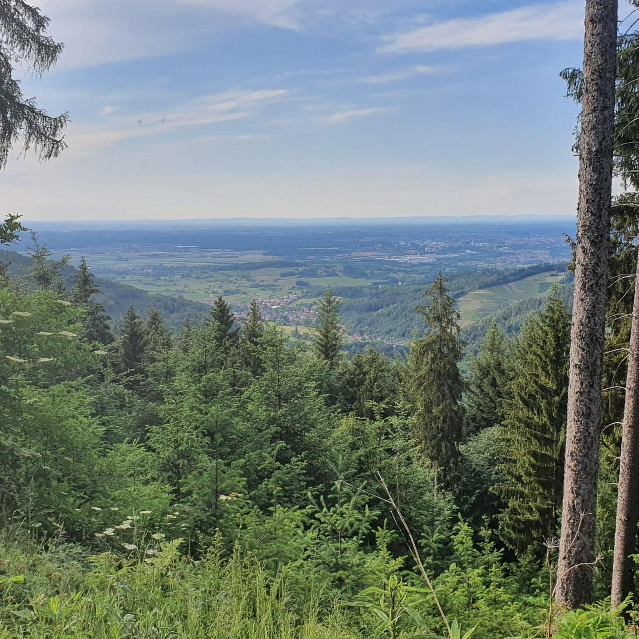
Absolutely. Some running routes in Hohberg offer expansive views, particularly over the Rhine Plain, adding a picturesque element to your run. Additionally, nearby attractions like the Hohes Horn with observation tower or Brandeck Tower on Brandeckkopf provide excellent panoramic vistas that can be incorporated into longer excursions.
Are dogs allowed on the running trails in Hohberg?
Generally, dogs are welcome on most outdoor trails in the Black Forest region, including Hohberg. However, it's always recommended to keep your dog on a leash, especially in forested areas to protect wildlife and ensure a pleasant experience for all users. Please be mindful of local regulations and signage.
What natural landmarks can I see while jogging in Hohberg?
Hohberg's running routes can lead you past several interesting natural landmarks. You might encounter the unique Steingrabenkopf Summit, or the Prälatenkopf Trail. The region is also known for its diverse forest paths, some featuring nature signs and animal sculptures, and natural springs like the Lohbachquelle.
Are there any historical sites or cultural attractions near the running routes?
Yes, Hohberg and its surroundings offer cultural points of interest. You can explore historical sites like the castle on the Steinfirst, or the Diersburg Castle Ruin. A short distance away, Ortenberg Castle provides a wonderful view and could be a rewarding endpoint for a longer run.
Are there any longer, more challenging running routes in Hohberg?
For those seeking a greater challenge, Hohberg offers several difficult routes with significant elevation gains. An example is the Schlüsselbrunnen loop from Hohberg, a demanding 9.6-mile (15.4 km) route with nearly 250 meters of elevation gain, perfect for an intense workout.
Are there running routes that pass by lakes in Hohberg?
While Hohberg is primarily known for its forest trails, there are nearby lakes that can be incorporated into your running plans. You might find routes that lead close to or offer views of lakes such as Lake Stegmatten or Pappelwald Lake, providing a refreshing change of scenery.
What is the best time of year for running in Hohberg?
Hohberg's forested environment makes it suitable for running throughout much of the year. Spring and autumn offer pleasant temperatures and beautiful scenery. Summer provides shade on forest trails, while winter can offer unique snowy landscapes, though some paths might be more challenging due to conditions. Always check local weather before heading out.
Most popular attractions around Hohberg

Get inspired with the komoot mobile app


Explore more
Browse the best Running Trails & Routes in other regions.
