The best running trails around Todtnau
4.6
(224)
2,095
runners
80
runs
Jogging around Todtnau offers diverse terrain within Germany's Black Forest, characterized by mountainous landscapes, dense forests, and the Wiese Valley. The region features significant elevations, including the Feldberg and Belchen mountains, providing varied running experiences. Trails often follow river valleys, ascend through woodlands, and lead to scenic viewpoints. This area provides a range of jogging routes suitable for different fitness levels.
Best jogging routes around Todtnau
- The most popular jogging route is Stübenwasen Summit – On the Feldberg loop from Langenbach-Trubelsbach, a difficult 13.8 miles (22.2 km) trail that takes 2 hours 38 minutes to complete. This challenging route ascends towards the Stübenwasen summit, offering extensive views of the Black Forest.
- Another top favourite among local runners is Stübenwasen Mountain Lodge – Stübenwasen Mountain Inn loop from Langenbach-Trubelsbach, a moderate 7.6 miles (12.2 km) path. This running route explores the area around the Stübenwasen mountain lodge, featuring forest paths and open sections.
- Local runners also love the Radschert Trailhead – Leitner Alm – Latschenhütte loop from Todtnauberg, a 6.5 miles (10.5 km) trail leading through mountain scenery and past alpine huts, often completed in about 1 hour 10 minutes.
- Jogging around Todtnau is defined by its Black Forest landscapes, including the Feldberg region, the Todtnau Waterfall, and the Wiese Valley. The network of running routes offers options for various ability levels, from moderate forest paths to more demanding mountain trails.
- The routes in Todtnau are highly rated by the komoot community with an average score of 4.6 stars from over 190 reviews. More than 2000 runners have used komoot to explore Todtnau's varied terrain.
Last updated: October 8, 2026
5.0
(8)
247
runners
Hard run. Very good fitness required. Mostly paved surfaces. Suitable for all skill levels.
4.3
(7)
176
runners
Moderate run. Good fitness required. Mostly paved surfaces. Suitable for all skill levels.

4.9
(24)
81
runners
9.40km
01:03
210m
210m
Moderate run. Good fitness required. Mostly paved surfaces. Suitable for all skill levels.
5.0
(4)
50
runners
6.12km
00:44
140m
140m
Moderate run. Good fitness required. Mostly paved surfaces. Suitable for all skill levels.
5.0
(1)
47
runners
12.0km
01:34
430m
430m
Hard run. Very good fitness required. Mostly paved surfaces. Suitable for all skill levels.
Get access to more routes and recommendations from other explorers.
Already have an account?
Our route recommendations are based on thousands of hikes, rides, and runs completed by other people on komoot.
Start today with a free account
Your next adventure awaits.
Popular around Todtnau
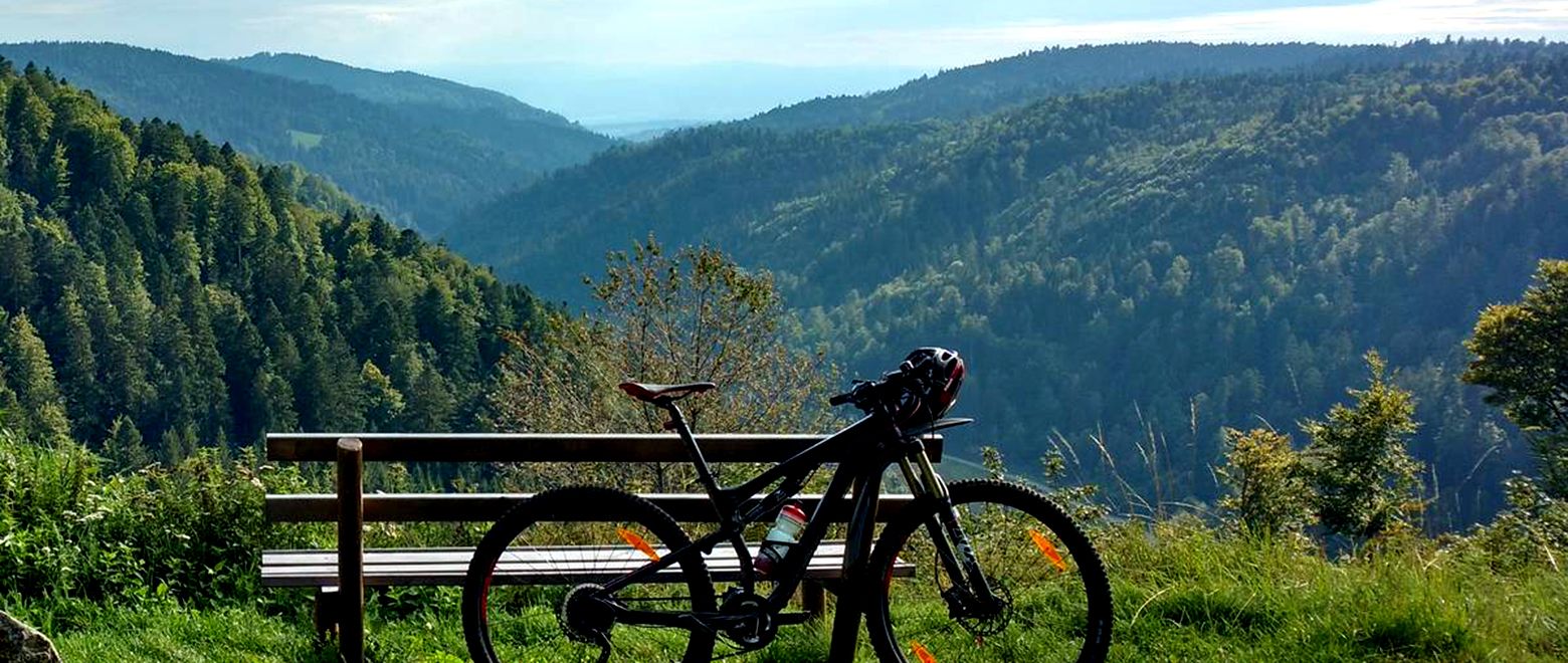
The Black Forest Crossing – From north to south in eight days
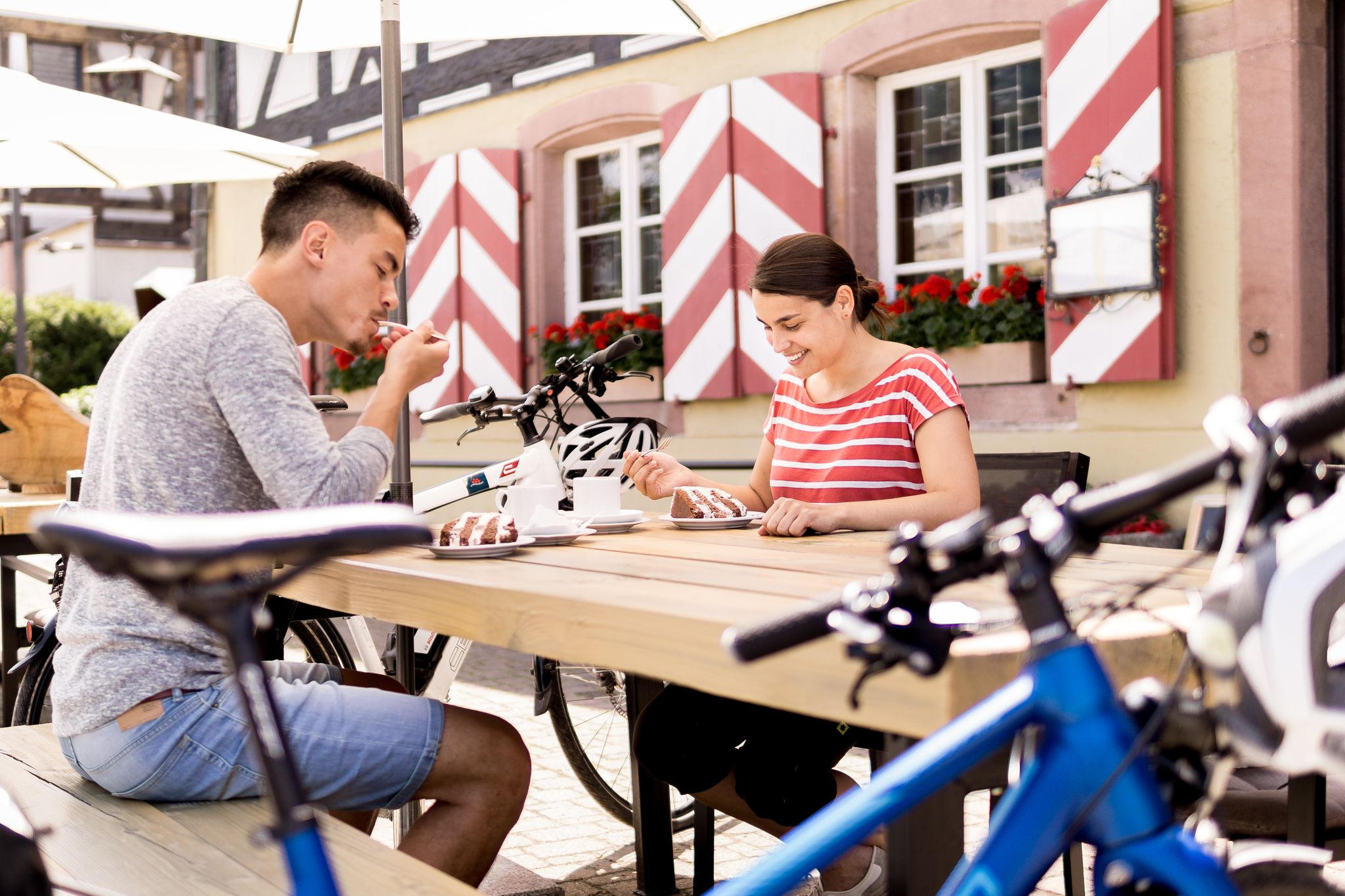
Gentle cycling & fine dining – the Black Forest for connoisseurs
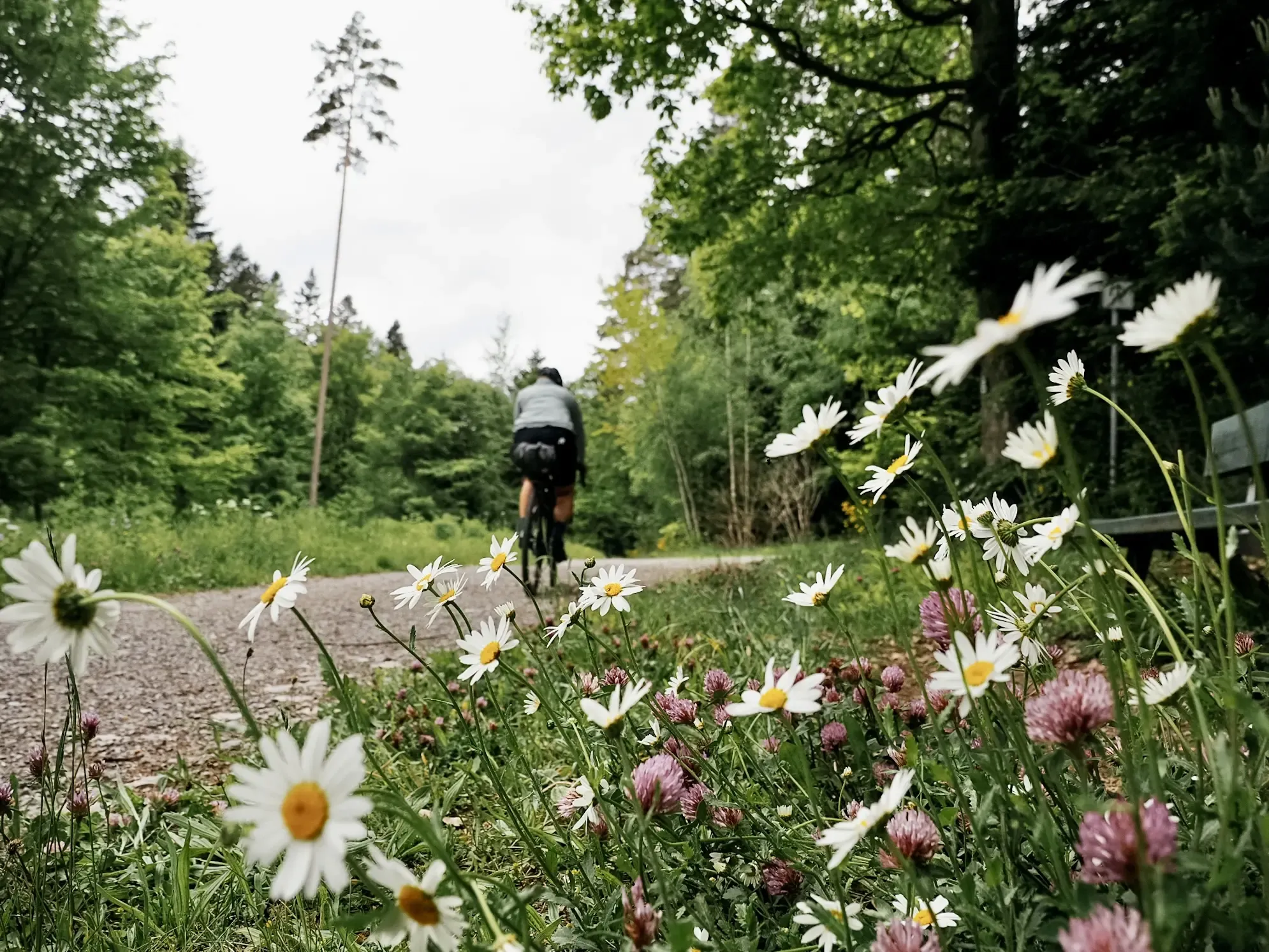
Naturparke-Gravel-Crossing: bikepacking in Baden-Württemberg
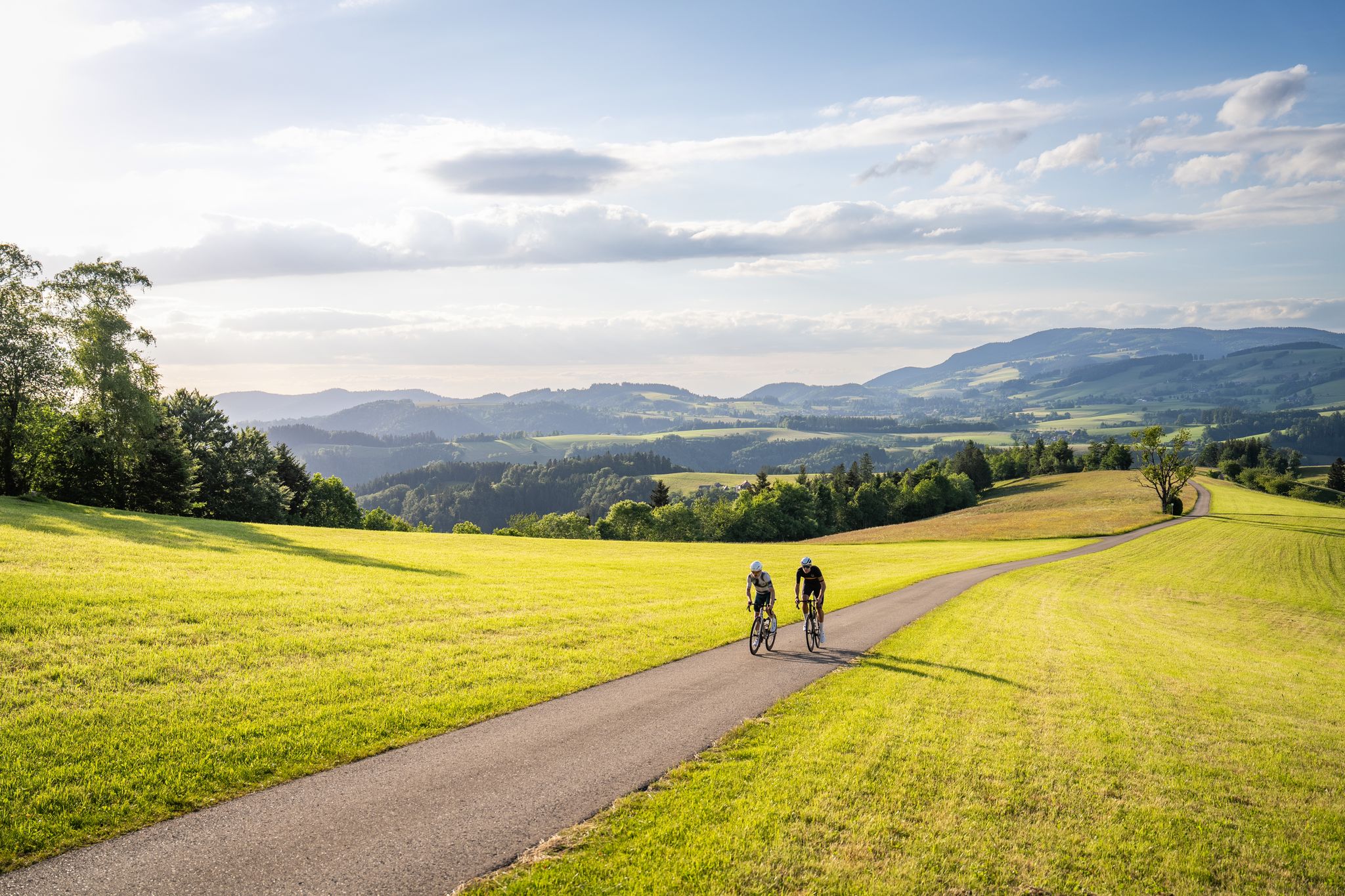
Asphalt poetry – road cycling in the High Black Forest
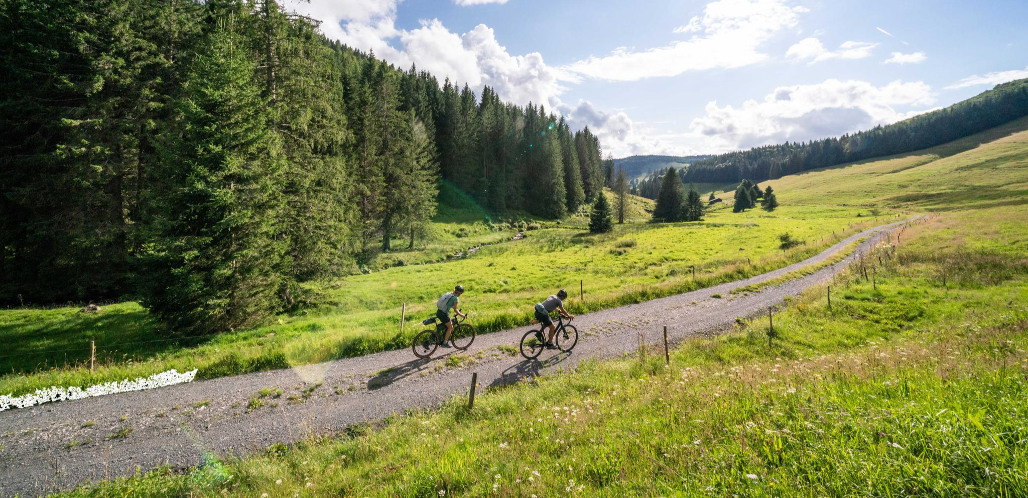
Your slice of gravel happiness – gravel in the Black Forest
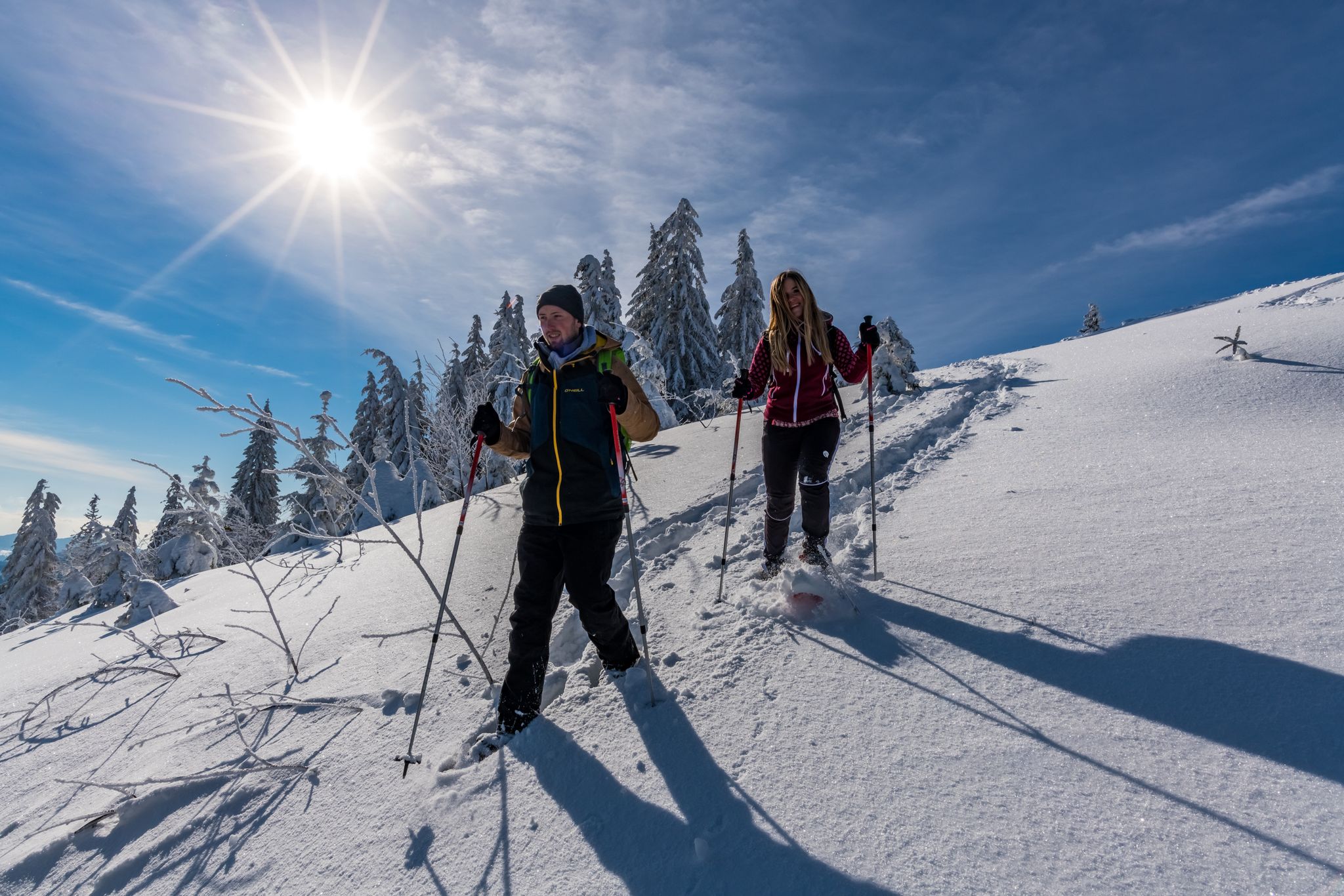
The Forest in its white dress – snowshoe Tours in the Black Forest
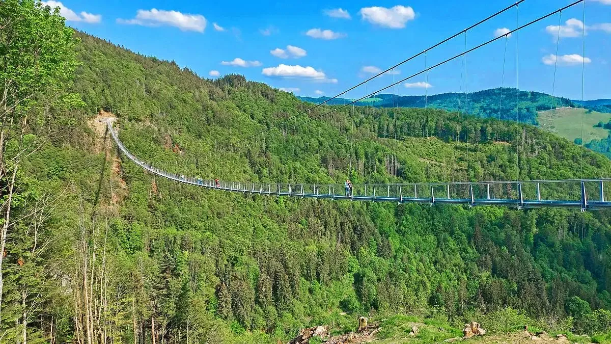
Nature and thrills – adventurous hiking in the Black Forest
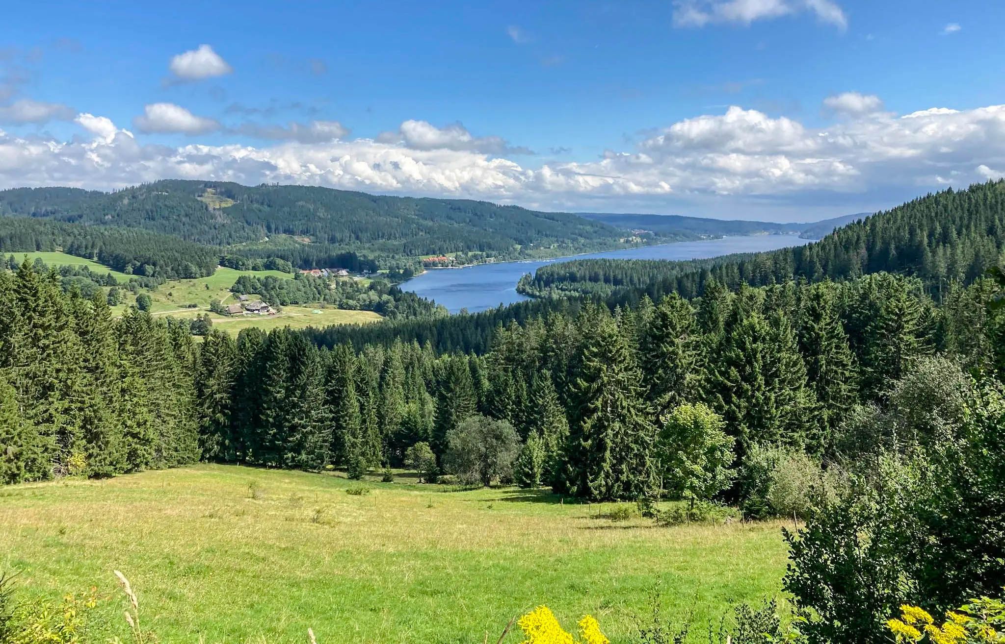
Experience Germany's Black Forest glass blowing history up close
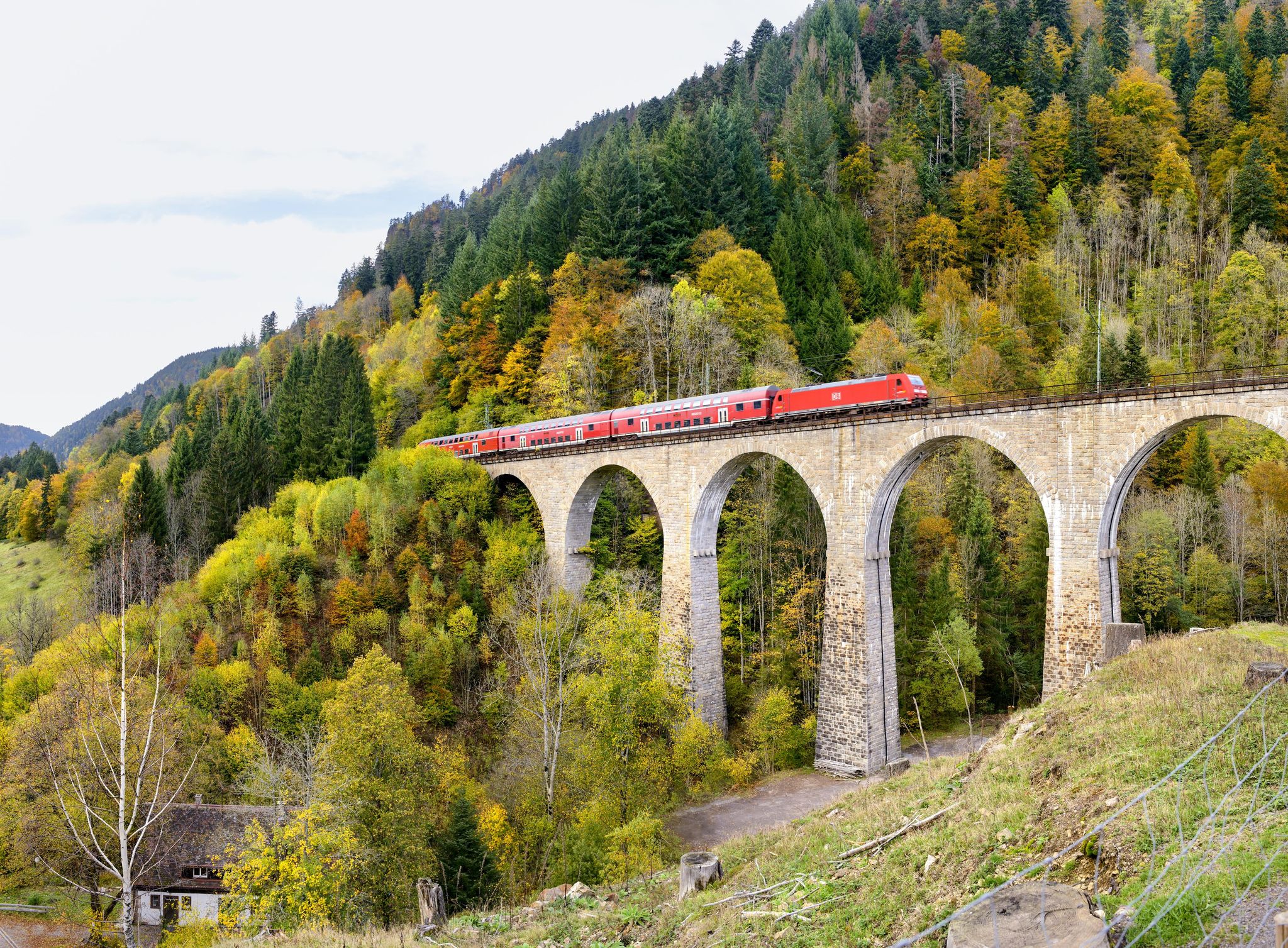
Into the countryside by bus and train – hiking in Germany’s large protected areas
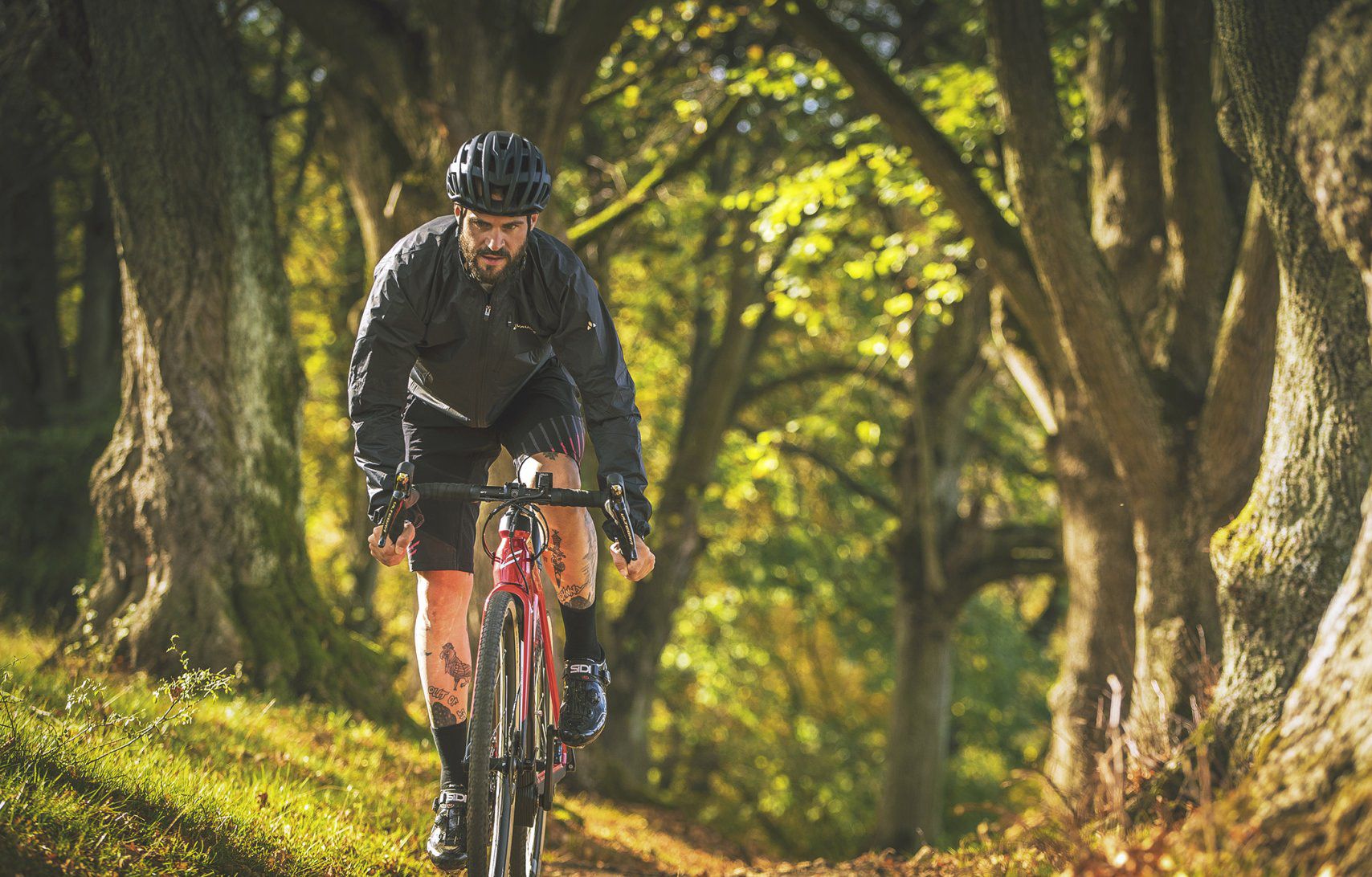
Nature Park Gravel Crossing from North to South – Baden-Württemberg
Other adventures around Todtnau


Tips from the Community

Directly on the summit of Feldberg in the Black Forest, not far from the older transmission tower on the Seebuck.
3
0
Commissioned in the summer of 2003 by the SWR.
3
0
The current weather at the weather station
3
0

Nice spot, but in summer possibly only a thin trickle
0
0

The "Neuer Sender Feldberg" on the summit is an 82-meter-high reinforced concrete television tower from 2003. It is used for radio communication and is not publicly accessible. The Feldberg observation tower is located on the Seebuck to the south.
0
0

Great place to take a break. Be careful, some of the planks are loose and tend to tip.
0
0

One of several cool seating areas on the Todtnauberg panoramic trail, not far from the youth hostel and the Ratschert parking lot.
0
0
Frequently Asked Questions
How many running routes are available around Todtnau?
Todtnau offers a wide selection of running routes, with over 70 trails available for various fitness levels. These include 6 easy routes, 36 moderate routes, and 36 difficult routes, ensuring options for every runner.
What kind of terrain can I expect on running trails in Todtnau?
You can expect diverse terrain, from challenging mountain paths around the Feldberg and Belchen to more gentle forest trails and routes along the Wiese Valley. The region's mountainous landscape means many trails feature significant elevation changes, offering stunning Black Forest views.
Are there any running routes that pass by the Todtnau Waterfall?
Yes, the impressive Todtnau Waterfall is a prominent natural feature. While not explicitly listed as a running route in the guide data, the region research indicates a straightforward walk from the town center leads to this natural wonder, making it an accessible and scenic option for a jog. You can also experience the nearby Todtnau Waterfall and the Ravenna Gorge on routes like the "Todtmoos waterfalls – Raven Gorge loop from Lebküchlerweg" which is a challenging 12 km trail.
What do other runners enjoy most about jogging in Todtnau?
The running routes in Todtnau are highly rated by the komoot community, with an average score of 4.6 stars from nearly 200 reviews. Runners often praise the varied terrain, the stunning Black Forest landscapes, and the well-maintained paths that cater to different abilities. Over 2,000 runners have used komoot to explore the area's trails.
Are there any easy or beginner-friendly running routes in Todtnau?
Yes, Todtnau offers 6 easy running routes. While specific beginner routes aren't detailed, the region's diverse network includes predominantly paved paths and less demanding trails suitable for those new to running or looking for a more relaxed pace. Look for routes with minimal elevation gain in the valley areas.
Can I find circular running routes in Todtnau?
Absolutely. Many of the running routes in Todtnau are designed as loops, allowing you to start and finish in the same location. For example, the "Notschrei – Notschrei Pass loop from Langenbach-Trubelsbach" is a moderate 6.1 km circular route, perfect for exploring the area around the Notschrei Pass.
Are there any running trails suitable for families in Todtnau?
While specific 'family-friendly' running routes aren't explicitly categorized, the 6 easy routes and some of the moderate trails with less significant elevation changes would be suitable for families. Look for paths along the valley floor or around attractions like the Feldsee, which offer beautiful scenery without extreme difficulty.
What are some notable landmarks or viewpoints I can see while running in Todtnau?
Todtnau's running routes offer access to several impressive landmarks and viewpoints. You can run near the majestic Feldberg Summit, Germany's highest peak outside the Alps, or explore trails around the serene Feldsee glacial lake. The Todtnau Waterfall is another highlight, and the Blackforestline Suspension Bridge offers breathtaking panoramic views over it.
Are there running routes that offer views of the distant Alps?
Yes, on clear days, routes around higher elevations like the Feldberg and Belchen mountains, or the Stübenwasen summit, can offer spectacular views extending to the distant Alps. The "Stübenwasen Summit – On the Feldberg loop from Langenbach-Trubelsbach" is a challenging route known for extensive Black Forest vistas.
What is the best time of year for jogging in Todtnau?
The Black Forest region around Todtnau is beautiful year-round. Spring and autumn offer pleasant temperatures and vibrant scenery, while summer provides longer daylight hours. Even outside of winter, trails around the Notschrei Pass transform into serene forest routes suitable for running. Always check local weather conditions before heading out.
Are there any running routes that pass by mountain huts or places to eat?
Yes, some routes will take you past traditional mountain huts. For instance, the "Radschert Trailhead – Leitner Alm – Latschenhütte loop from Todtnauberg" leads through mountain scenery and past alpine huts, offering opportunities for a break. You can also find huts like the St. Wilhelmer Hut or Krunkelbachhütte Mountain Lodge in the wider area.
Are there any specific running routes around the Feldberg area?
The Feldberg area is a prime location for running. The challenging "Stübenwasen Summit – On the Feldberg loop from Langenbach-Trubelsbach" is a popular choice, ascending towards the Stübenwasen summit and offering extensive views. Another option is the moderate "Stübenwasen Mountain Lodge – Stübenwasen Mountain Inn loop from Langenbach-Trubelsbach" which explores the area around the mountain lodge.
Most popular routes around Todtnau
Most popular attractions around Todtnau

Get inspired with the komoot mobile app


Explore more
Browse the best Running Trails & Routes in other regions.
