The best walks and hikes around Old Cleeve
4.6
(507)
3,528
hikers
17
hikes
Hiking around Old Cleeve, nestled in Somerset, England, offers diverse landscapes for outdoor enthusiasts. The region features trails extending into Exmoor National Park and the Brendon Hills, characterized by significant elevation changes and expansive views. Coastal paths provide scenic walks along the Bristol Channel, while wooded combes and river valleys offer tranquil experiences. This area caters to various fitness levels, from easy strolls to moderate hikes.
Best hiking trails around Old Cleeve
- The most popular hiking route is Roadwater and…
Last updated: October 4, 2026
5.0
(2)
11
hikers
13.5km
04:03
410m
410m
Moderate hike. Good fitness required. Easily-accessible paths. Suitable for all skill levels.
4.9
(17)
44
hikers
12.3km
03:15
120m
120m
Moderate hike. Good fitness required. Easily-accessible paths. Suitable for all skill levels.

4.8
(5)
29
hikers
8.29km
02:10
70m
70m
Moderate hike. Good fitness required. Easily-accessible paths. Suitable for all skill levels.
4.5
(2)
14
hikers
9.81km
02:58
320m
320m
Moderate hike. Good fitness required. Easily-accessible paths. Suitable for all skill levels.
5.0
(1)
10
hikers
13.4km
04:02
410m
410m
Moderate hike. Good fitness required. Easily-accessible paths. Suitable for all skill levels.
Get access to more routes and recommendations from other explorers.
Already have an account?
Our route recommendations are based on thousands of hikes, rides, and runs completed by other people on komoot.
Start today with a free account
Your next adventure awaits.
Tips from the Community

Using the power of moving water to drive a mill wheel is an ancient invention of the human spirit of discovery, the origins of which can be traced back to times long past. Thanks to such a construction, human or animal muscle power could be easily replaced by the power of the natural elements through a watercourse - natural or artificially created - in order to grind grain into corn or press oil from fruit, for example. There are essentially two different ways of driving watermills: * Either the flowing water simply hits the blades of the water wheel from below to set it in motion; or * the water is guided above the wheel - usually through a so-called "mill channel" - and falls onto the blades; this type of construction is more efficient due to natural gravity.
5
0

This late medieval stone bridge - originally 'gallows bridge' - across the River Avill once carried packhorses bringing fleeces from Exmoor to the Somerset market town of Dunster. The town had become a centre of the wool trade by the 13th century, when it was the main source of England's wealth.
1
0
Fully restored watermill A restored 18th-century watermill built on the site of a mill mentioned in the Domesday Survey of 1086. The mill is set in peaceful surroundings alongside the River Avill and at the entrance to the Dunster Castle River gardens. The watermill is fully operational. You can often see original milling here and even buy the flour produced.
2
1
Dunster is a village and civil parish in Somerset, England, within the northeastern boundary of Exmoor National Park. It lies on the Bristol Channel 2.5 miles southeast of Minehead and 20 miles northwest of Taunton. At the 2011 Census, it had a population of 817. There are Iron Age hillforts in the area.
2
2

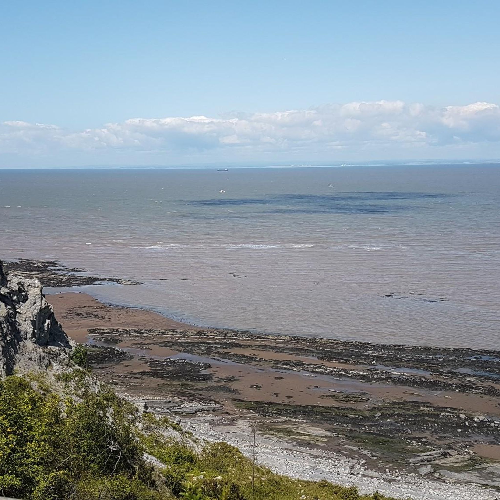
Blue Anchor has a fantastic beach. Lots of places to stop for refreshments!
1
0
Not sure which garden is meant, but there are some wonderfully colorful plants here
1
0
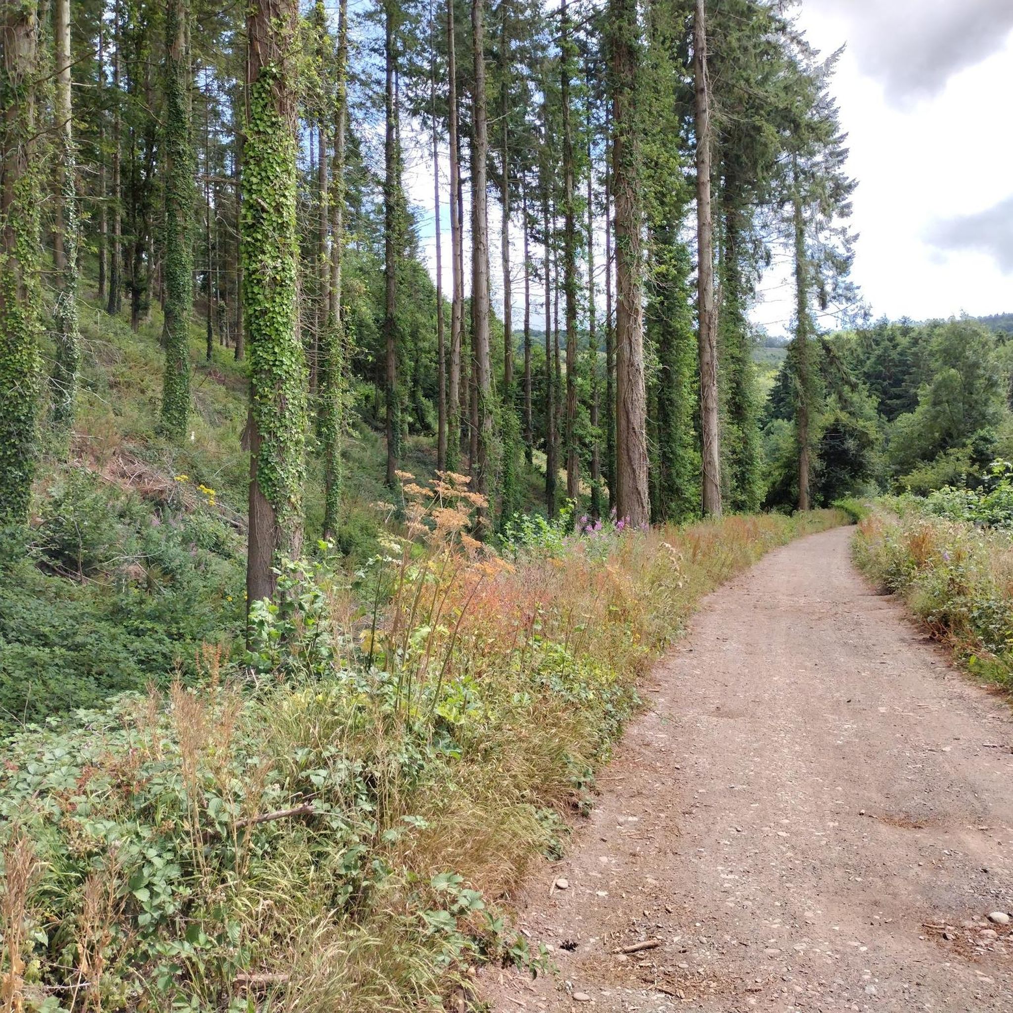
Dunster is almost indecently pretty and exactly how you would imagine an English village to be... If only the traffic didn't meander through. Between us Komootlers: don't come by car, there are only a few (expensive) parking spaces. Better walk here from Minehead, the path through the forest is beautiful!
7
1
Coming from the direction of the tea room, you either turn around here or pay the entrance fee for the mill, the gardens and the castle. Currently that's 16 pounds per person. We actually just wanted to see the gardens, but there is only one type of ticket. But it was definitely worth it, we spent a very long time here and can recommend it.
4
0
Frequently Asked Questions
How many hiking trails are available around Old Cleeve?
There are 17 hiking trails around Old Cleeve, offering a variety of experiences for different skill levels. You'll find everything from easy strolls to more moderate hikes.
Are there any easy or family-friendly hiking routes in Old Cleeve?
Yes, Old Cleeve offers 6 easy hiking routes that are suitable for families or those looking for a more relaxed walk. These trails often feature minimal elevation gain and picturesque scenery, such as river valleys or coastal paths.
What kind of landscapes can I expect to see while hiking near Old Cleeve?
Hiking around Old Cleeve offers incredibly diverse landscapes. You can explore the expansive views of the Brendon Hills within Exmoor National Park, enjoy scenic coastal paths along the Bristol Channel, or wander through tranquil wooded combes and river valleys. The region also features parts of the Quantock Hills, known for their beautiful vistas.
Are there any circular walking routes available around Old Cleeve?
Many of the trails around Old Cleeve are circular, allowing you to start and finish at the same point. For example, the Roadwater and the Brendon Hills loop — Exmoor National Park is a popular circular route exploring the national park's varied terrain.
What historical sites or attractions can I discover along the hiking trails?
Old Cleeve's hiking trails often pass by significant historical sites. You can visit charming villages like Dunster with its impressive castle, or explore the well-preserved Cleeve Abbey near Washford. Other routes might take you past ancient Iron Age hillforts like Daws Castle, historic churches such as St Mary's in Nettlecombe, or the historic Watchet Harbour. You can also find highlights like Bat's Castle Iron Age Hillfort.
Are there any routes that offer coastal views or access to beaches?
Absolutely. The region boasts scenic coastal walks, including routes that take in Blue Anchor Bay, known for its fantastic beach. Trails extend along the coast, offering views of the Bristol Channel and passing historical sites. The Dunster Village – Gallox Bridge loop from Blue Anchor connects inland beauty with coastal vistas.
What do other hikers enjoy most about the trails in Old Cleeve?
The trails in Old Cleeve are highly rated by the komoot community, with an average score of 4.6 stars from nearly 400 reviews. Hikers often praise the diverse landscapes, from coastal paths to Exmoor National Park, and the variety of routes suitable for different abilities. The historical points of interest and charming villages encountered along the way are also frequently highlighted.
Are there any challenging hikes for experienced walkers?
While there are no routes classified as 'difficult' in our current selection, Old Cleeve offers 11 moderate hikes that provide a good challenge. These routes, particularly those venturing into Exmoor National Park and the Brendon Hills, can feature significant elevation changes and require good fitness.
Can I find any viewpoints with panoramic vistas on the trails?
Yes, many trails in the Old Cleeve area lead to excellent viewpoints. You can enjoy panoramic vistas from locations like Grabbist and Knowle hills, or from higher points within Exmoor National Park such as Dunkery Beacon. Highlights like Beacon Hill Trig Point also offer superb views.
Are there any trails that pass by waterfalls?
Yes, you can find natural features like waterfalls in the vicinity. For instance, St Audries Bay Waterfall is a notable natural monument that can be incorporated into walks in the area, offering a beautiful sight.
Are the hiking trails around Old Cleeve dog-friendly?
Many of the trails in the Old Cleeve area are suitable for dogs, especially those exploring the countryside and coastal paths. However, it's always recommended to keep dogs on a lead, particularly around livestock or in nature reserves, and to check local signage for any specific restrictions.
What is the longest hiking route available in Old Cleeve?
One of the longer routes is the Roadwater and the Brendon Hills loop — Exmoor National Park, which spans 8.4 miles (13.5 km). This moderate trail offers a substantial walk through varied terrain.
Most popular routes around Old Cleeve
Most popular attractions around Old Cleeve

Get inspired with the komoot mobile app


Explore more
Browse the best Hikes in other regions.
