The best running trails around Münstertal
4.4
(174)
2,195
runners
79
runs
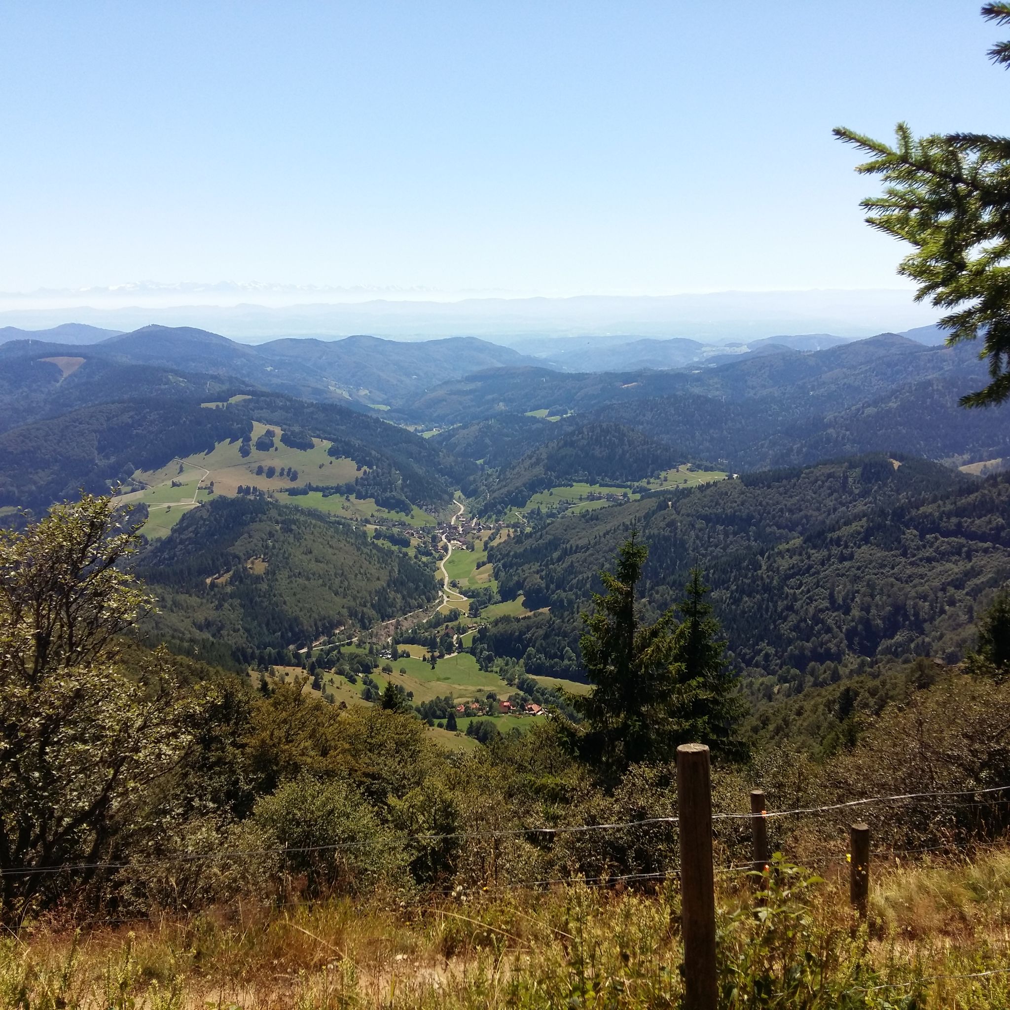
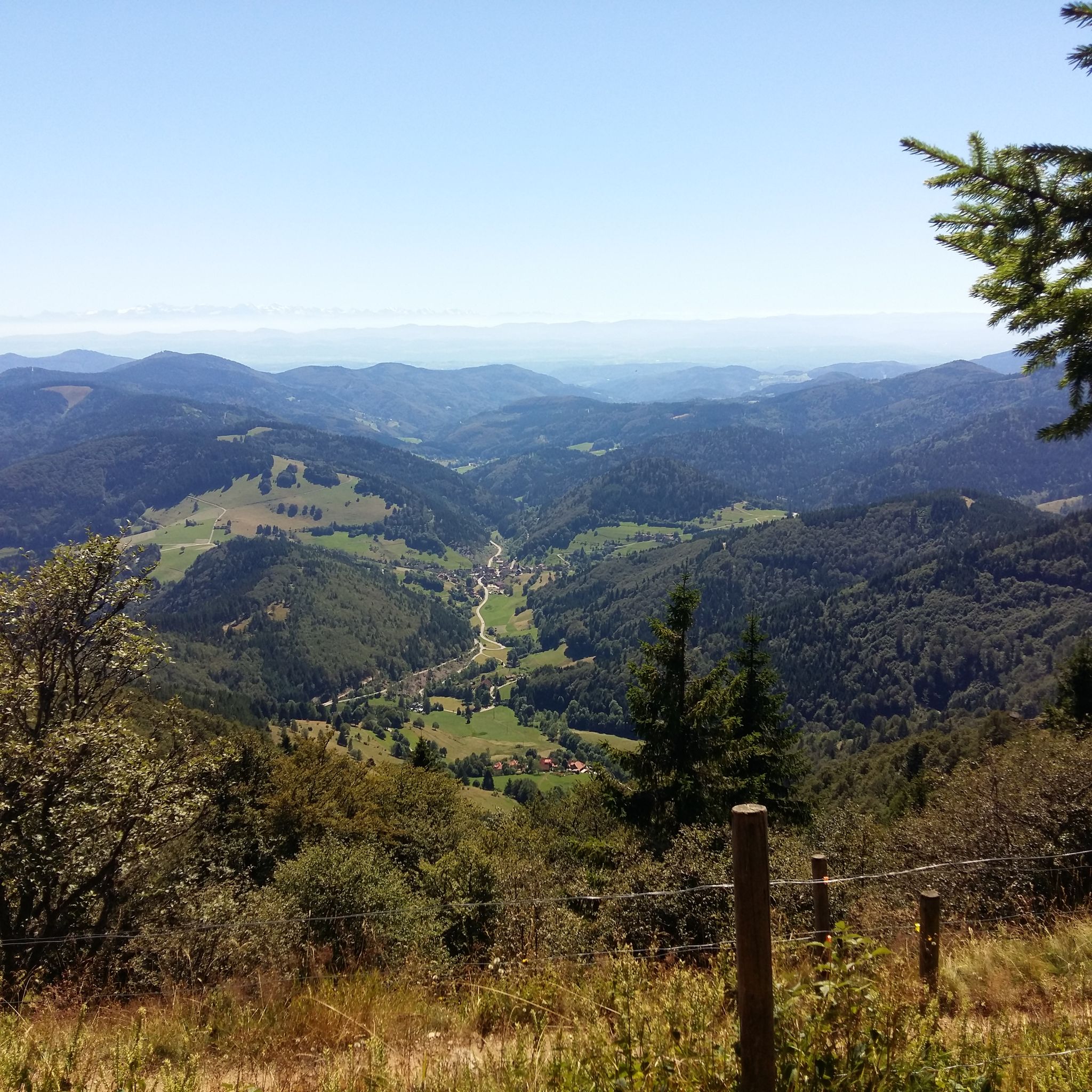
Jogging around Münstertal offers diverse terrain within the Southern Black Forest, characterized by significant altitude differences from 300 to 1,400 meters above sea level. The region features dense forests, expansive fields, and lush meadows, providing varied running routes. Valleys like Münstertal itself, along with rivers such as the Rhine and Dreisam, contribute to a landscape suitable for different fitness levels. Challenging ascents towards hills like the Belchen mountain offer panoramic views across the Rhine Valley and beyond.
Best jogging routes…
Last updated: September 24, 2026
4.5
(10)
201
runners
Moderate run. Good fitness required. Mostly paved surfaces. Suitable for all skill levels.
4.8
(25)
160
runners
8.16km
00:58
150m
150m
Moderate run. Good fitness required. Mostly paved surfaces. Suitable for all skill levels.

4.8
(15)
83
runners
19.3km
03:00
1,040m
1,040m
Hard run. Very good fitness required. Sure-footedness, sturdy shoes and alpine experience required.
4.6
(5)
59
runners
25.4km
03:35
1,120m
1,120m
Hard run. Very good fitness required. Sure-footedness, sturdy shoes and alpine experience required.
5.0
(2)
44
runners
Moderate run. Good fitness required. Mostly paved surfaces. Suitable for all skill levels.
Get access to more routes and recommendations from other explorers.
Already have an account?
Our route recommendations are based on thousands of hikes, rides, and runs completed by other people on komoot.
Start today with a free account
Your next adventure awaits.
Popular around Münstertal
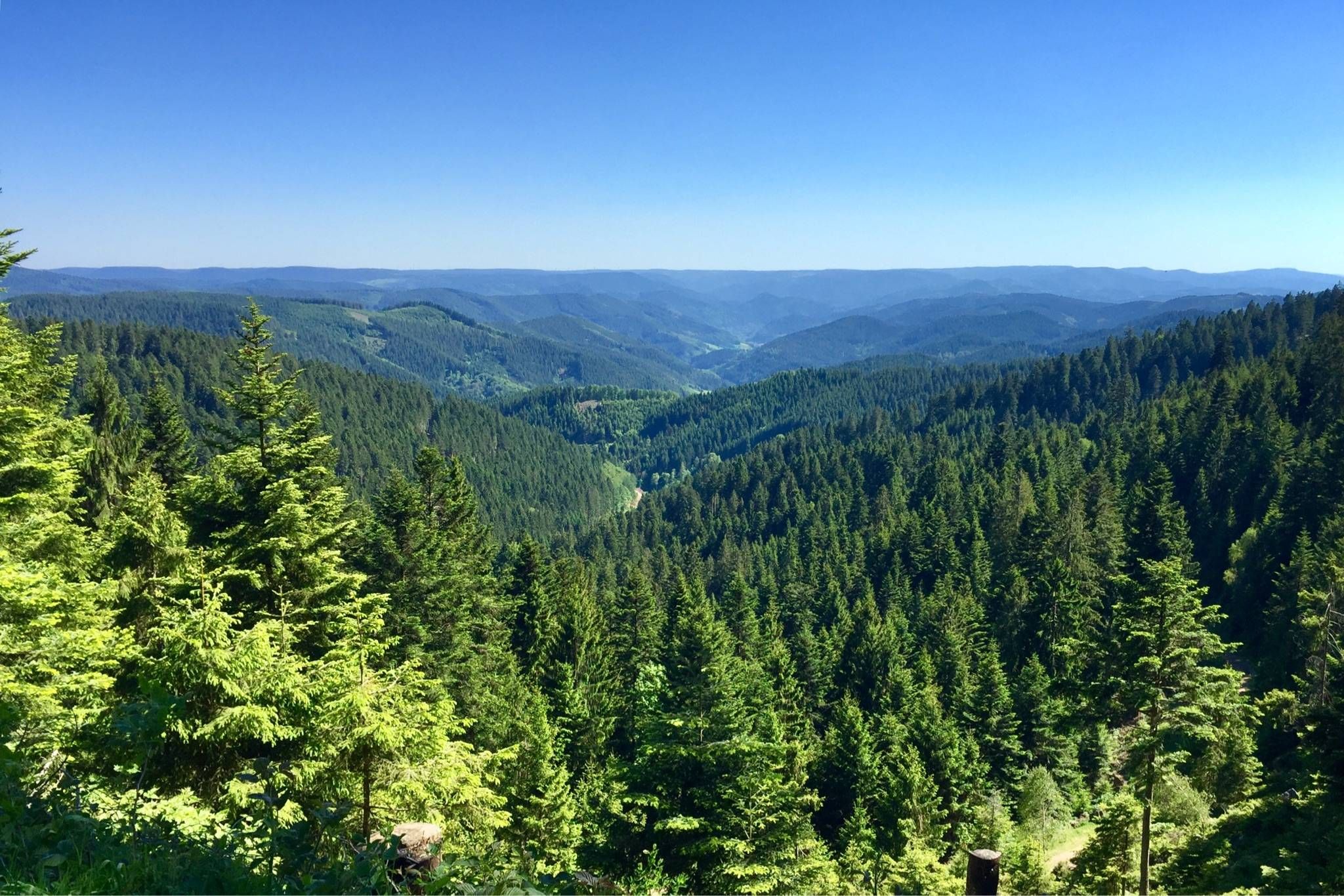
Westweg – Deep forests and bright heights through the Black Forest
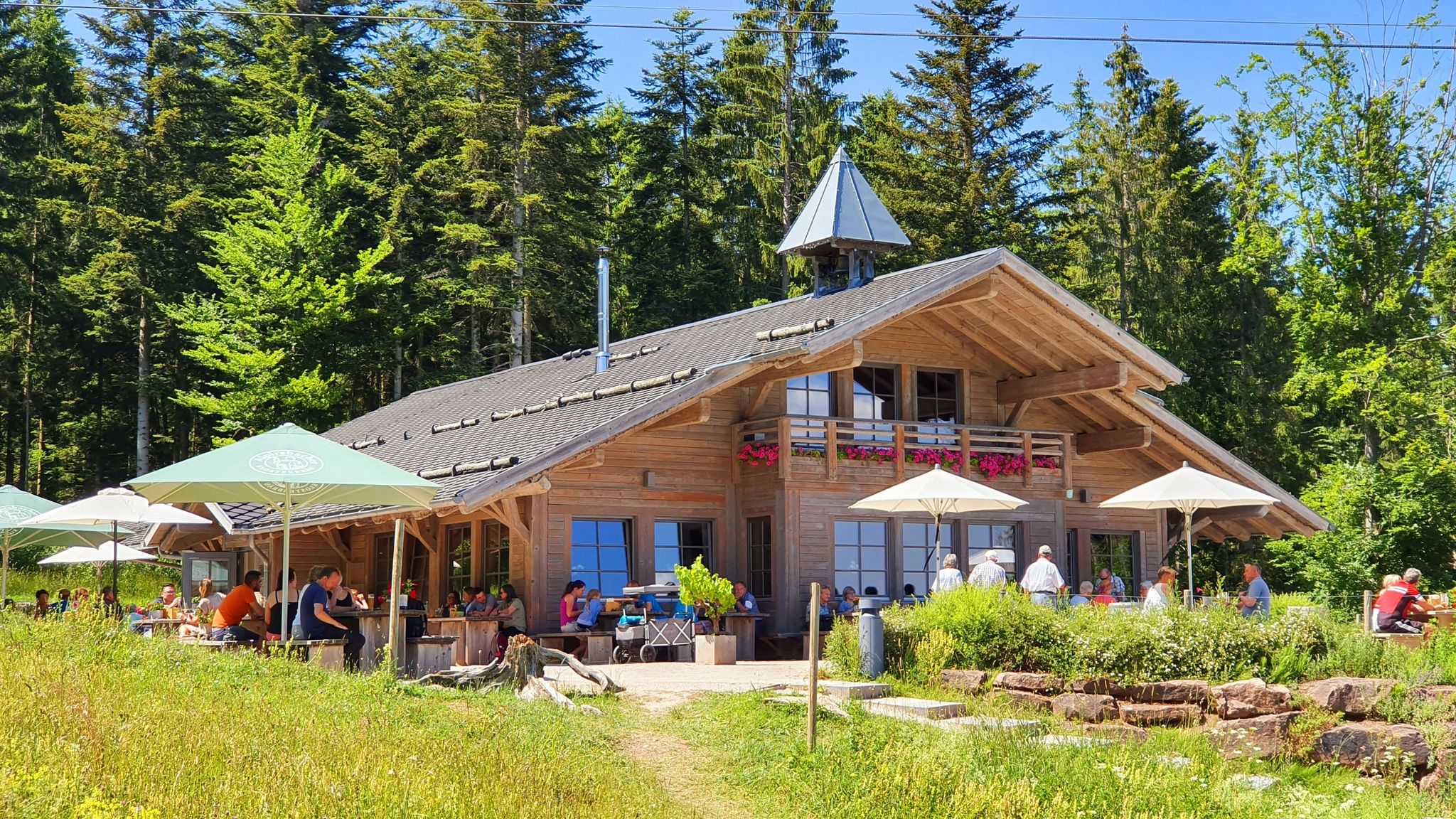
The Black Forest’s huts – moments of enjoyment & relaxation in the forest
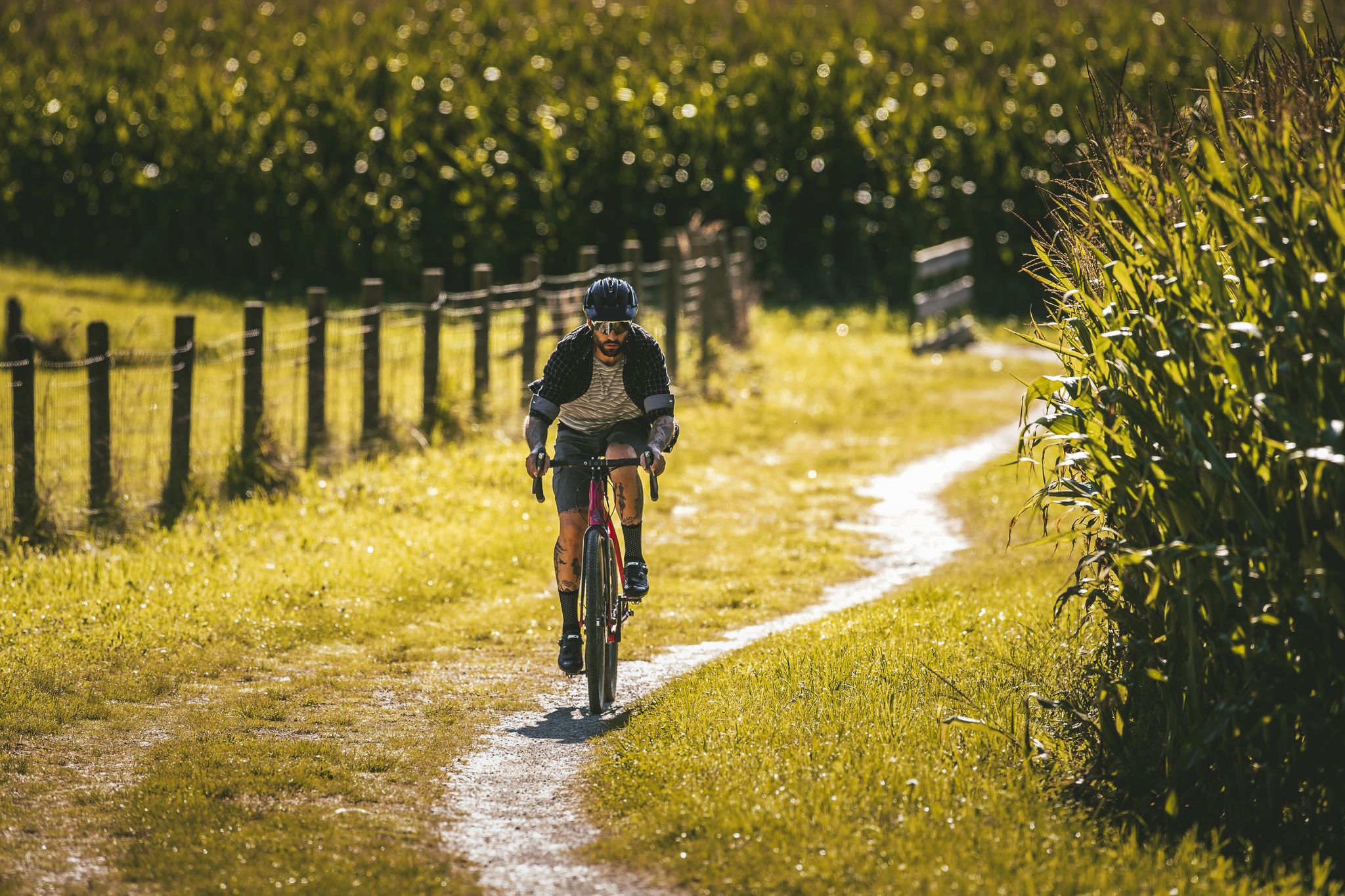
Your gravel adventure — Black Forest Cycle Route
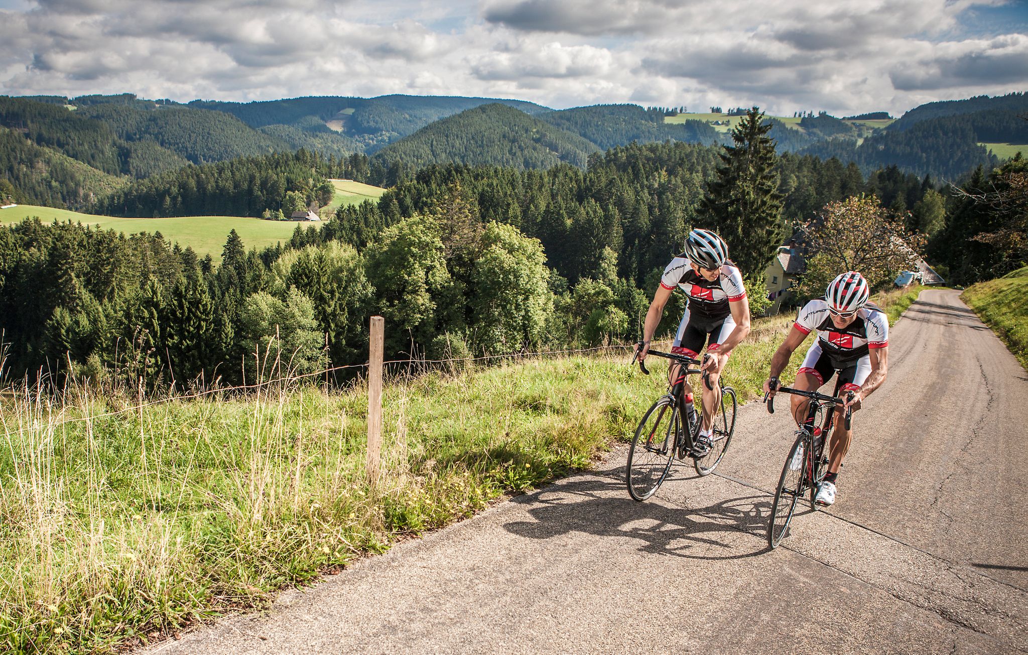
#letsgo – the 9 most beautiful road bike Tours in the Black Forest
Black Forest Cycle Route from Karlsruhe to Lörrach
Hiking the Westweg in the Black Forest – Germany’s first long-distance trail
Mountains, Trails and Cuckoo Clocks - Mountainbiking in the Black Forest
Romantische Orte im Schwarzwald
Hiking around Münstertal
Cycling around Münstertal
Other adventures around Münstertal


Tips from the Community

Very large monastery with an impressive church building. Around Christmas, a nativity exhibition in a chapel.
0
0
Z.T. narrow path under shady trees, partly on asphalted roads between houses (approx. 50-50 path/road share).
0
0

... the summit cross on the "Belchen" in the district of "Lörrach", Baden-Württemberg. - with a great all-round view of the surrounding area - depending on the weather, you have a magnificent distant view in all 4 cardinal directions - benches are available For those interested!!! - the "Belchen", at almost 1415 m above sea level, is the fourth highest elevation in the Black Forest - on the treeless mountain top, you have a magnificent all-round view of the surrounding area - etymology: "belche" means "white spot", the mountain top stands out from the dark forest surrounding it - the Belchen triangle: from the "Belchen" in the Black Forest, you can (with good visibility) see the "Großer Belchen" (= Ballon d'Alsace) in Alsace or the "Belchen" (= Belchenflue) in Switzerland - all 3 "Belchen" form an (almost) right-angled triangle https://www.badenpage.de/ausflugsziele/ausflugsziele-in-der-region-dreyeckland/belchendreieck.html
0
0
.. View towards the south from the "Belchen" in the district of "Lörrach", Baden-Württemberg. - magnificent panoramic view - you should bring some time to look and enjoy! - the "Wiesental" is located directly on the southern flank of the mountain For those interested!!! - the Wiesental is just under 453 km² in size - the "Wiesental" got its name from the river "Wiese" - the river is just under 58 km long and a right tributary of the Rhine - the source is located on the "Feldberg" in the Southern Black Forest and flows towards Switzerland, where it flows into the Upper Rhine in "Basel" - the "Belchen" is just under 1415 m above sea level and is the fourth highest elevation in the Black Forest - on the treeless mountain summit, the Belchen offers a magnificent all-round view of the surrounding area
0
0
... the viewpoint "Belchensteig" is located in the immediate vicinity of the "Belchenhaus" or the mountain station of the "Belchen-Seilbahn"! - the "Belchensteig" is a premium hiking trail: https://www.wanderinstitut.de/premiumwege/baden-wuerttemberg/belchensteig/ - approx. 15 km long - Start/Finish: Wanderparkplatz "Wiedener Eck" (Oberwieden 15, 79695 Wieden) - please note: the trail is located in various protected areas: NSG „Wiedener Weidberge“, FFH area „Belchen“ (Natura 2000), bird sanctuary area „Südschwarzwald“ (Natura 2000) and UNESCO Biosphere Reserve „Schwarzwald“
0
0

Beautiful hiking trail through the forest and therefore always in the shade.
0
0
Always beautiful views from the path
0
0

Enjoying the (flat) neighborhood. Along the water where you can also get into the water at cozy spots (to cool off)
0
0
Frequently Asked Questions
How many running routes are available in Münstertal?
Münstertal offers a wide selection of running routes, with over 75 trails available for you to explore. These range from easy paths to more challenging ascents.
What makes Münstertal a good destination for running?
Münstertal is an excellent destination for running due to its diverse and beautiful natural landscapes in the Southern Black Forest. You'll find varied terrain, from dense forests and expansive fields to lush meadows, with significant altitude differences providing options for all fitness levels. The region is also a state-approved climatic health resort, offering a mild and stimulating climate ideal for physical activity.
What do other runners say about the trails in Münstertal?
The running routes in Münstertal are highly regarded by the komoot community, boasting an average rating of 4.5 stars from over 140 reviews. Runners frequently praise the varied terrain, stunning panoramic views, and the well-maintained network of trails.
Are there challenging running routes in Münstertal for experienced runners?
Yes, Münstertal offers several challenging running routes, particularly those leading towards the prominent Belchen mountain. For instance, the Wiedener Eck Pass – Belchensteig Frame Viewpoint loop from Wieden is a difficult 15.5 km trail with over 600 meters of elevation gain, providing significant challenges and rewarding panoramic views.
Are there easy running paths suitable for beginners or casual joggers?
Absolutely. Münstertal has a good selection of easier running paths. You can find routes with less elevation gain and shorter distances, perfect for beginners or those looking for a more relaxed run. There are 11 easy routes available, offering gentle paths through picturesque landscapes.
What kind of terrain can I expect on Münstertal's jogging trails?
You can expect a wide variety of terrain. Trails wind through dense forests, open fields, and lush meadows. While some paths are mostly paved, others feature steep, gravelly sections and single trails, especially on higher elevations. This diversity ensures there's something for every preference and fitness level.
Can I find routes with panoramic views in Münstertal?
Yes, many running routes in Münstertal offer spectacular panoramic views. The region's significant altitude differences mean you can find trails with vistas across the Rhine Valley, the Vosges mountains, and even to the Swiss Alps on clear days. The Belchen mountain, in particular, is known for its unobstructed, far-reaching views.
Are there any natural attractions or landmarks to see while running?
While running in Münstertal, you can encounter various natural attractions. Some routes might lead you near highlights such as the Wolfsschlucht Gorge or the Sägebachschlagsteig Waterfalls. The region also features unique geological formations like the Alte-Mann-Felsen (Old Man's Rocks).
Are there running routes that pass through vineyards?
Yes, for a different scenic experience, you can find routes that pass through vineyards. The 'Markgräfler Wiiwegli' offers enjoyable paths through wine country, providing beautiful views of the Rhine Valley and a chance to experience the local viticulture.
What is the best time of year to go running in Münstertal?
Münstertal is enjoyable for running throughout much of the year. As a climatic health resort, it benefits from a mild and stimulating climate. Spring and autumn offer pleasant temperatures and vibrant scenery, while summer provides warmth with cooling fall winds from the mountains. Always check local weather conditions before heading out.
Can I go running in Münstertal during winter?
Winter running in Münstertal is possible, but conditions can vary. Higher elevation trails, especially around the Belchen, may be covered in snow and ice, requiring appropriate gear and caution. Lower valley routes might remain clear or offer opportunities for snowshoe running. It's advisable to check local trail conditions and weather forecasts.
Are there family-friendly running routes in Münstertal?
Yes, Münstertal offers several routes suitable for families. Look for the 'easy' graded routes, which typically have less elevation and shorter distances, making them more manageable for children or those pushing strollers. These paths often traverse gentle landscapes, providing a pleasant experience for all.
Are dogs allowed on the jogging trails in Münstertal?
Generally, dogs are welcome on many of the trails in Münstertal, especially in natural areas. However, it's always best to keep them on a leash, particularly in nature reserves, near livestock, or in busy areas. Please ensure you clean up after your dog to maintain the beauty of the trails for everyone.
Are there circular running routes available in Münstertal?
Yes, many of the running routes in Münstertal are designed as loops, allowing you to start and finish at the same point. For example, the Münstertal Town Hall – View of Münstertal loop from Münstertal (Schwarzwald) is a popular moderate circular path offering great views.
Most popular routes around Münstertal
Most popular attractions around Münstertal

Get inspired with the komoot mobile app


Explore more
Browse the best Running Trails & Routes in other regions.
