The best mountain hikes around Glottertal
5.0
(3)
17
hikers
5
hikes
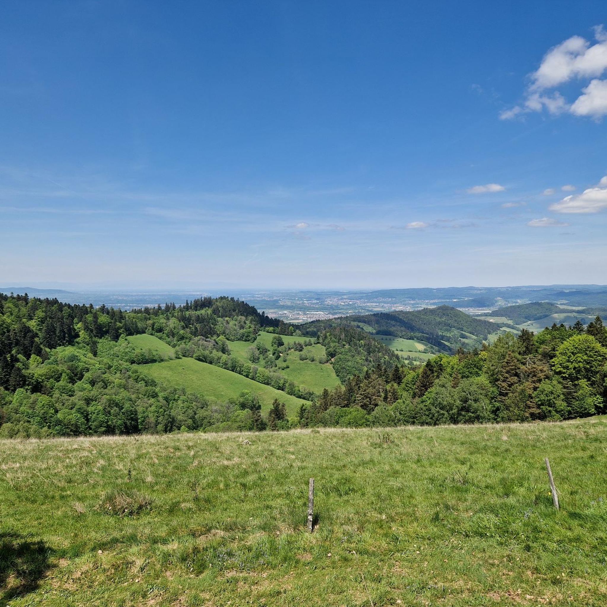
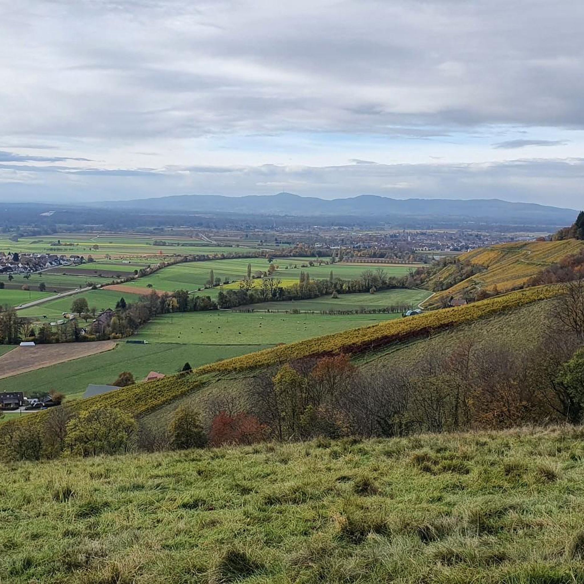
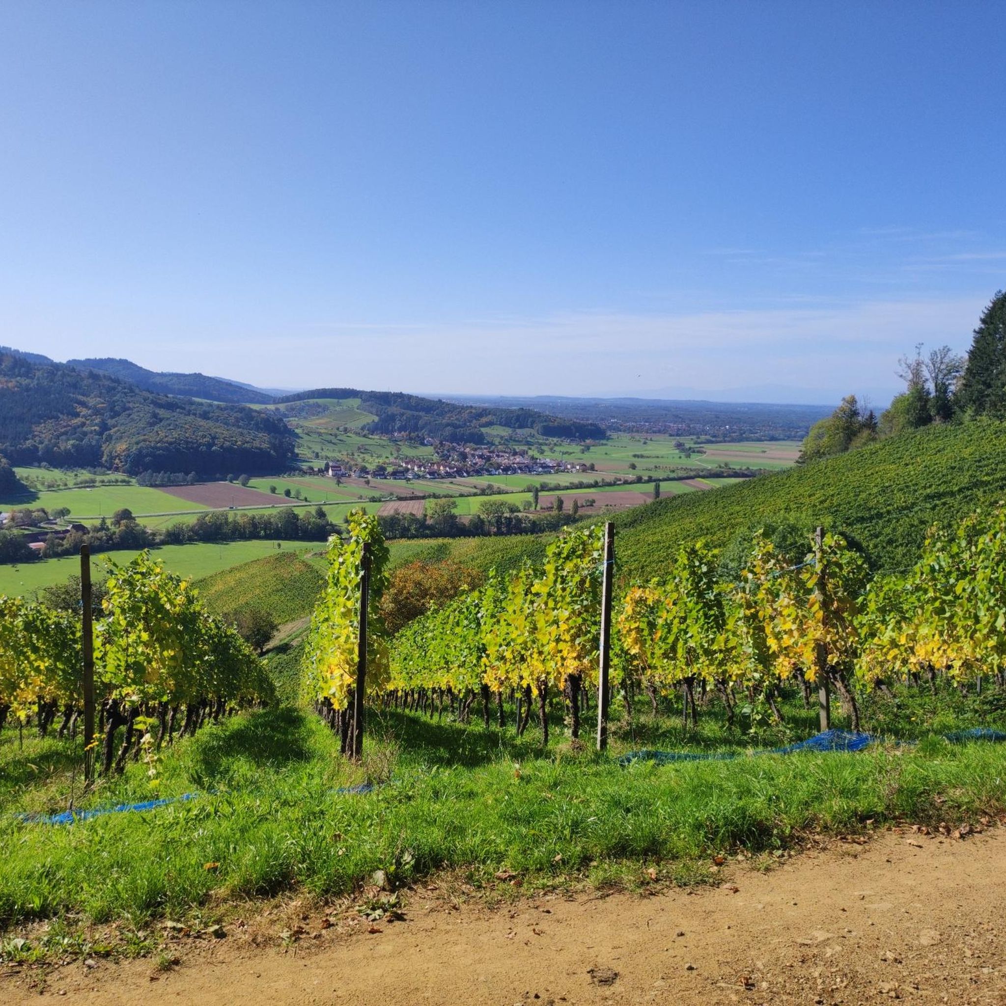
Mountaineering routes around Glottertal are characterized by significant elevation changes, ranging from 280 meters above sea level to the 1,241-meter-high Kandel summit. The region features diverse landscapes, including the prominent Kandel Massif and the Roßkopf, which offer challenging ascents and panoramic views. Glottertal is situated within the central Black Forest, presenting a terrain of pristine forests, meadows, and steep vineyards. These physical features create varied opportunities for demanding mountain hikes.
Best mountaineering routes around Glottertal
- The most popular mountaineering route…
Last updated: October 5, 2026
7
hikers
18.7km
06:51
970m
970m
Hard mountaineering route. Very good fitness required. Mostly accessible paths. Sure-footedness required.
5.0
(1)
2
hikers
6.96km
02:19
220m
220m
Moderate mountaineering route. Good fitness required. Mostly accessible paths. Sure-footedness required.

1
hikers
5.02km
02:18
360m
360m
Moderate mountaineering route. Good fitness required. Mostly accessible paths. Sure-footedness required.
5.0
(1)
2
hikers
Hard mountaineering route. Very good fitness required. Sure-footedness, sturdy shoes and alpine experience required.
Our route recommendations are based on thousands of hikes, rides, and runs completed by other people on komoot.
Start today with a free account
Your next adventure awaits.
Popular around Glottertal
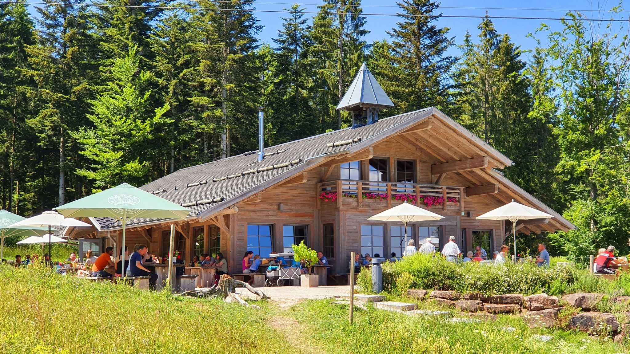
The Black Forest’s huts – moments of enjoyment & relaxation in the forest
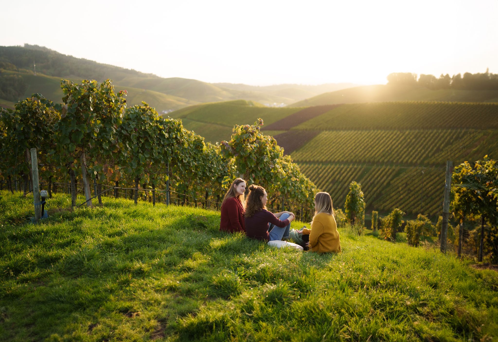
Picnics, wine and wide views – along the Baden Wine Route
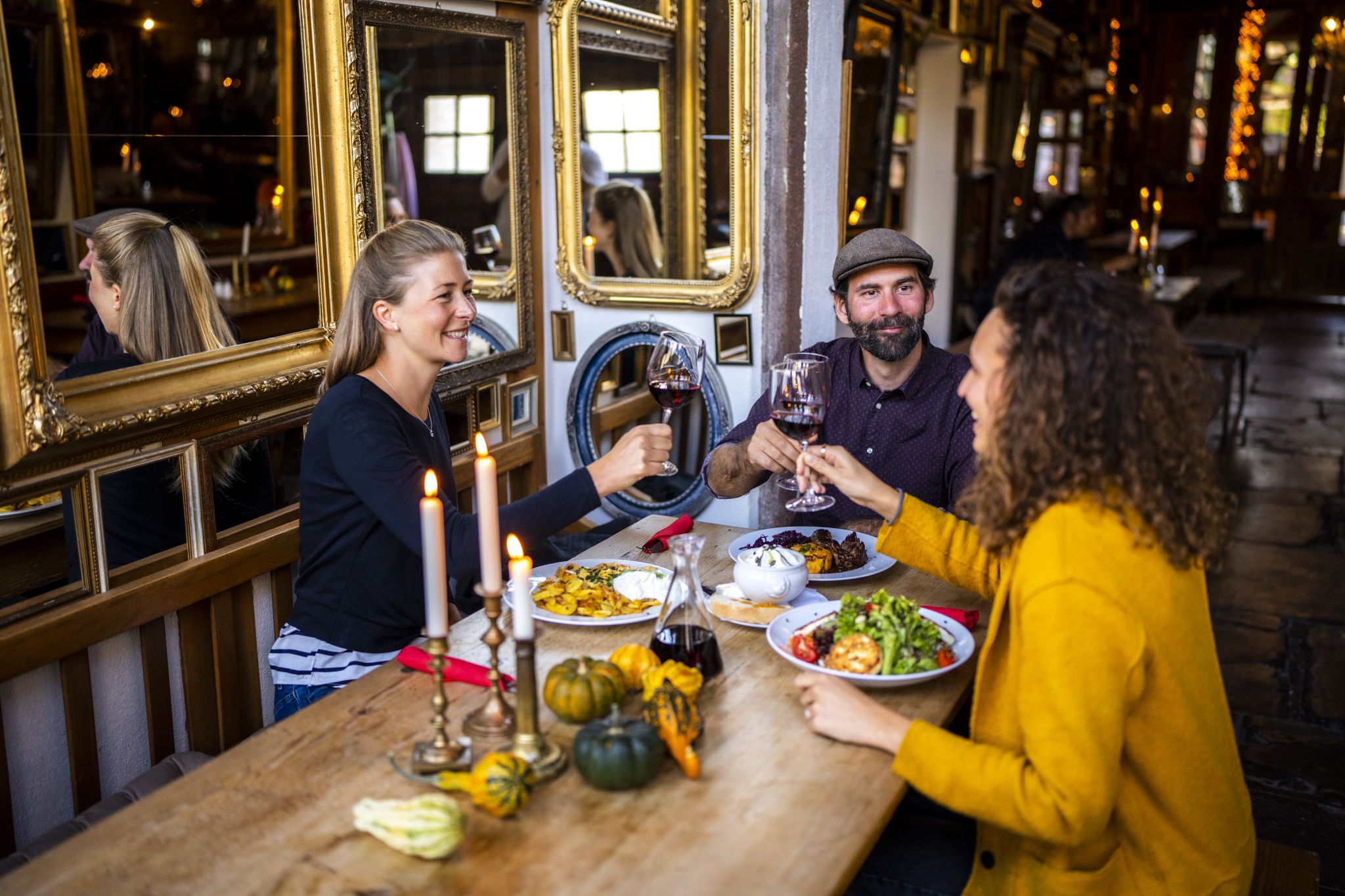
Hikes to seasonal taverns along the Baden Wine Route in Germany
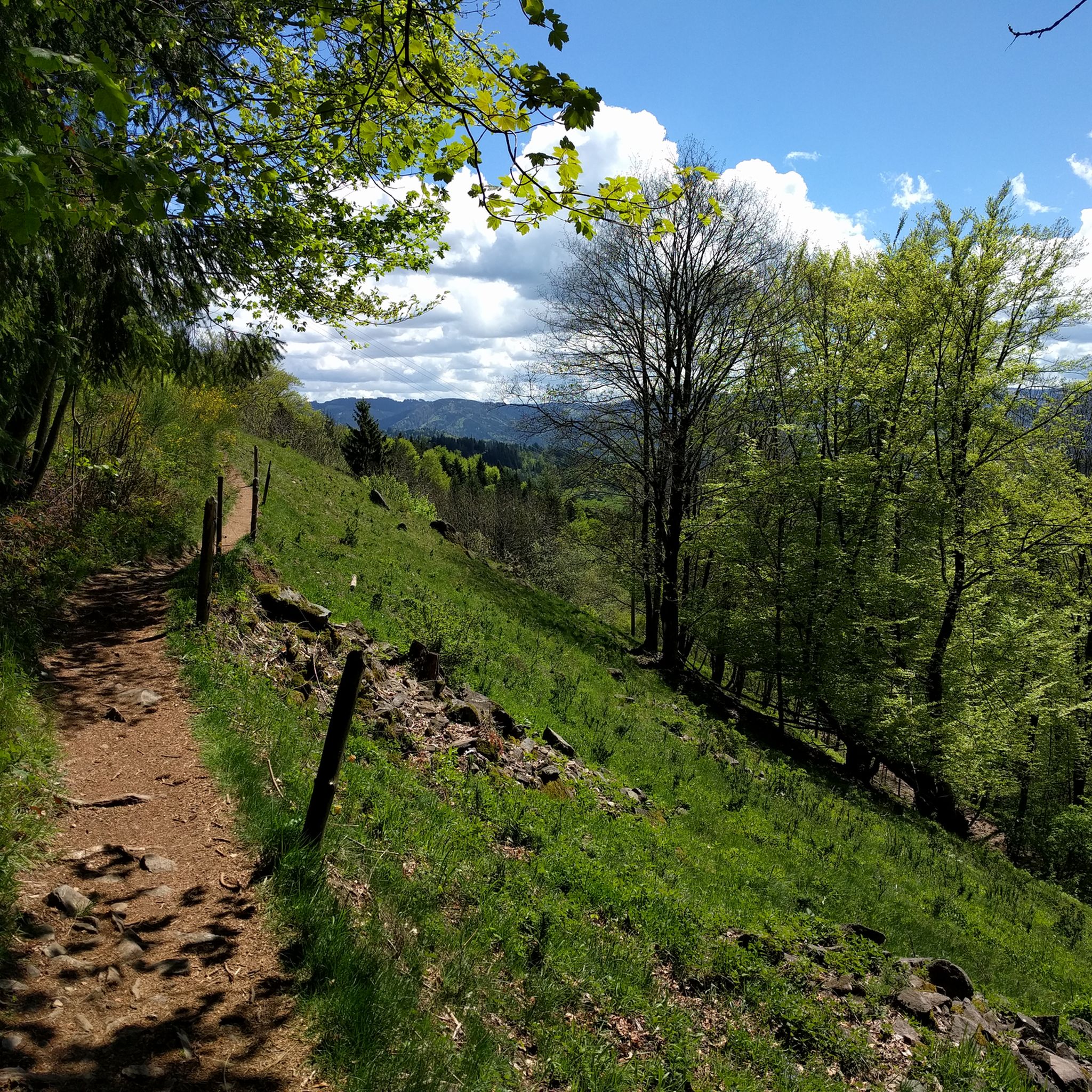
Hiking around Glottertal
Road Cycling Routes around Glottertal
Cycling around Glottertal
MTB Trails around Glottertal
Running Trails around Glottertal
Gravel biking around Glottertal
Other adventures around Glottertal

Tips from the Community

Here you can strengthen yourself after a hike and watch the paragliders on their launch site next door from the terrace.
0
0

Unfortunately, the Hintereck is temporarily closed.
0
0

Hut closed from the end of 2025
0
0

The path is actually a typical trail, located on the slope. You even have to complete small climbing sections.
1
0
The Hintereck-Hütte has been closed since October 2025 due to a lack of tenants, but there is a drinks station with reasonable prices and a fountain in front of it. I would avoid the descent on the Wäldersteig to the parking lot when it's wet.
0
0

Very interesting castle ruins with a great view.
0
0
Frequently Asked Questions
How many mountaineering routes are available in Glottertal?
There are 7 mountaineering routes around Glottertal listed in this guide, offering a range of experiences from moderate to difficult. These routes are highly rated by the komoot community, with an average score of 5.0 stars.
Are there any challenging mountaineering routes for experienced hikers?
Yes, Glottertal offers several demanding routes. For instance, the View from the Kandel – Kandel Summit Viewpoint loop from Waldkirch is a difficult 19.1 km trail with significant elevation gain, taking nearly 7 hours to complete. Another challenging option is the Wehrlehof Mill – Schultiskopf (1,072 m) loop from Simonswald, which covers 21.7 km and includes over 1000 meters of ascent towards the Schultiskopf peak.
Can I find circular mountaineering routes in Glottertal?
Yes, many of the mountaineering routes in Glottertal are designed as loops. For example, the popular Hintereck Hut – Wildgutach Waterfall loop from Beim Engel is a moderate 11.8 km circular trail that takes you through picturesque Black Forest valleys. Another option is the Hintereck Hut – Wildsaupfad Trail loop from Gütenbach, a shorter moderate loop.
What kind of views can I expect on these mountaineering routes?
The routes in Glottertal offer breathtaking panoramic views. From higher points, especially around the Kandel summit, you can often see across the Rhine valley to the French Vosges mountains and even the Swiss Alps on clear days. The Kandel Summit and Lookout Pavilion and the View from the Kandel are prime spots for expansive vistas.
Are there any specific natural landmarks or attractions along the mountaineering trails?
Absolutely. The region is rich in natural features. You can encounter prominent peaks like the Kandel Massif and the Roßkopf. The Rosskopf Tower offers extensive views. Some routes also pass by the picturesque Glotter River and through the region's famous steep vineyards. The Hintereck Hut – Wildgutach Waterfall loop from Beim Engel specifically leads to the Wildgutach Waterfall.
What is the best time of year for mountaineering in Glottertal?
The Black Forest region, including Glottertal, is generally excellent for hiking from spring through autumn. Spring brings blooming meadows, while autumn offers vibrant foliage. Summer is also popular, but be prepared for warmer temperatures. Winter mountaineering is possible, especially on lower trails, but higher elevations like the Kandel can experience snow and ice, requiring appropriate gear and caution.
Are there any moderate mountaineering routes suitable for those looking for a less strenuous climb?
Yes, there are several moderate options. The Hintereck Hut – Wildgutach Waterfall loop from Beim Engel is a popular moderate route, taking about 4 hours 15 minutes. Another moderate choice is the Hintereck Hut – Wildsaupfad Trail loop from Gütenbach, which is shorter and can be completed in around 2 hours 15 minutes.
What are the typical elevation gains on mountaineering routes in Glottertal?
Mountaineering routes in Glottertal are characterized by significant elevation changes. You can expect ascents ranging from around 350 meters on shorter moderate trails, such as the Hintereck Hut – Wildsaupfad Trail loop from Gütenbach, to over 1000 meters on more difficult routes like the Wehrlehof Mill – Schultiskopf (1,072 m) loop from Simonswald.
Are there options for parking near the trailheads in Glottertal?
While specific parking details for each trailhead are best checked on individual route pages, Glottertal is generally well-equipped for visitors. Many trailheads, especially those starting from villages like Waldkirch or Simonswald, typically offer designated parking areas for hikers. It's advisable to check local signage or the komoot tour details for the most accurate parking information.
What do other mountaineers enjoy most about the routes in Glottertal?
The mountaineering routes in Glottertal are highly rated by the komoot community, with an average score of 5.0 stars. Reviewers often praise the diverse landscapes, including pristine forests, meadows, and challenging ascents to panoramic viewpoints like the Kandel summit. The well-maintained trails and the opportunity to experience the dramatic elevation changes of the Black Forest are frequently highlighted.
Can I reach the mountaineering trails using public transport?
Glottertal and the surrounding Black Forest region have public transport options, though access to specific trailheads may vary. Larger towns like Waldkirch, which serves as a starting point for routes such as the View from the Kandel – Kandel Summit Viewpoint loop, are generally well-connected. For more remote starting points, a combination of bus and a short walk might be necessary. Always check local bus schedules in advance.
Are there any routes that pass by mountain passes or notable peaks?
Yes, the region features several significant mountain passes and peaks. The Kandel Massif is a central feature, and routes often lead to the Kandel Summit and Lookout Pavilion. You might also encounter passes like Kybfelsensattel Pass or Gscheid Pass, which are part of the broader network of trails in the area.
Most popular routes around Glottertal
Most popular attractions around Glottertal

Get inspired with the komoot mobile app


Explore more
Browse the best Mountain Hikes & Routes in other regions.
