Lands common to Bridestowe and Sourton CP's
Lands common to Bridestowe and Sourton CP's
The best walks and hikes around Lands common to Bridestowe and Sourton CP's
4.7
(1192)
7,662
hikers
294
hikes
Hiking around Lands common to Bridestowe and Sourton CP's offers diverse terrain within Dartmoor National Park. The region is characterized by rugged open moorlands, ancient granite tors like High Willhays and Yes Tor, and river valleys such as the Upper West Okement Valley. This landscape includes significant natural features like the Meldon Reservoir and Black-a-Tor Copse National Nature Reserve.
Best hiking trails around Lands common to Bridestowe and Sourton CP's
- The most popular hiking route is Widgery Cross & Great…
Last updated: August 6, 2026
4.8
(37)
138
hikers
9.67km
02:55
290m
290m
Moderate hike. Good fitness required. Easily-accessible paths. Suitable for all skill levels.
4.6
(8)
71
hikers
11.9km
03:28
290m
290m
Moderate hike. Good fitness required. Easily-accessible paths. Suitable for all skill levels.

Sign up for free
5.0
(5)
29
hikers
4.16km
01:22
180m
180m
Easy hike. Great for any fitness level. Easily-accessible paths. Suitable for all skill levels.
4.0
(2)
5
hikers
Moderate hike. Good fitness required. Easily-accessible paths. Suitable for all skill levels.
5.0
(1)
15
hikers
11.5km
03:42
470m
470m
Moderate hike. Good fitness required. Easily-accessible paths. Suitable for all skill levels.
Get access to more routes and recommendations from other explorers.
Sign up for free
Already have an account?
Our route recommendations are based on thousands of hikes, rides, and runs completed by other people on komoot.
Start today with a free account
Your next adventure awaits.
Login or Signup
Popular around Lands common to Bridestowe and Sourton CP's
Tips from the Community

The views from both Great Links and Brat Tor are incredible. On a clear day you can see both the North Coast and South Coast as well as Bodmin Moor. The River Lyd stepping stone crossing is nice but there is still a wooden bridge crossing if you are a little unsteady on your feet.
0
0

The first impression of this simple but solidly crafted small sacred monument from 1887 is powerful and imposing. The lonely stone cross can be seen from afar thanks to its exposed location. The ancient, venerable cross is a natural part of this environment and one could almost think that it is literally growing out of the rock from which it rises to a proud height.
2
0

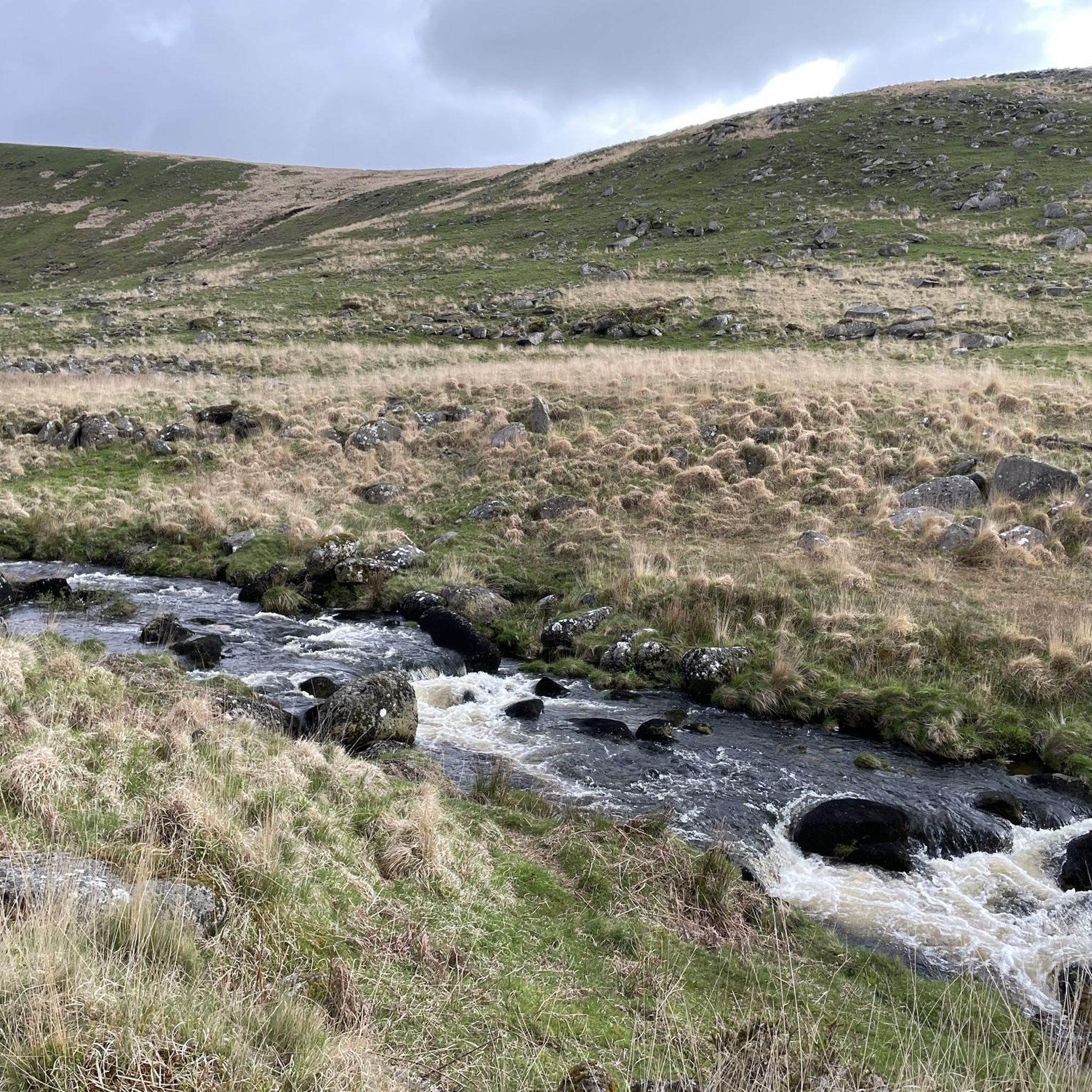
You can stone hop across here or take the footbridge, this is a nice little stop for water or for a picnic if you are with a family but this is pretty close to the carpark to be much of a hike, a great path up to widgery cross from here.
3
0
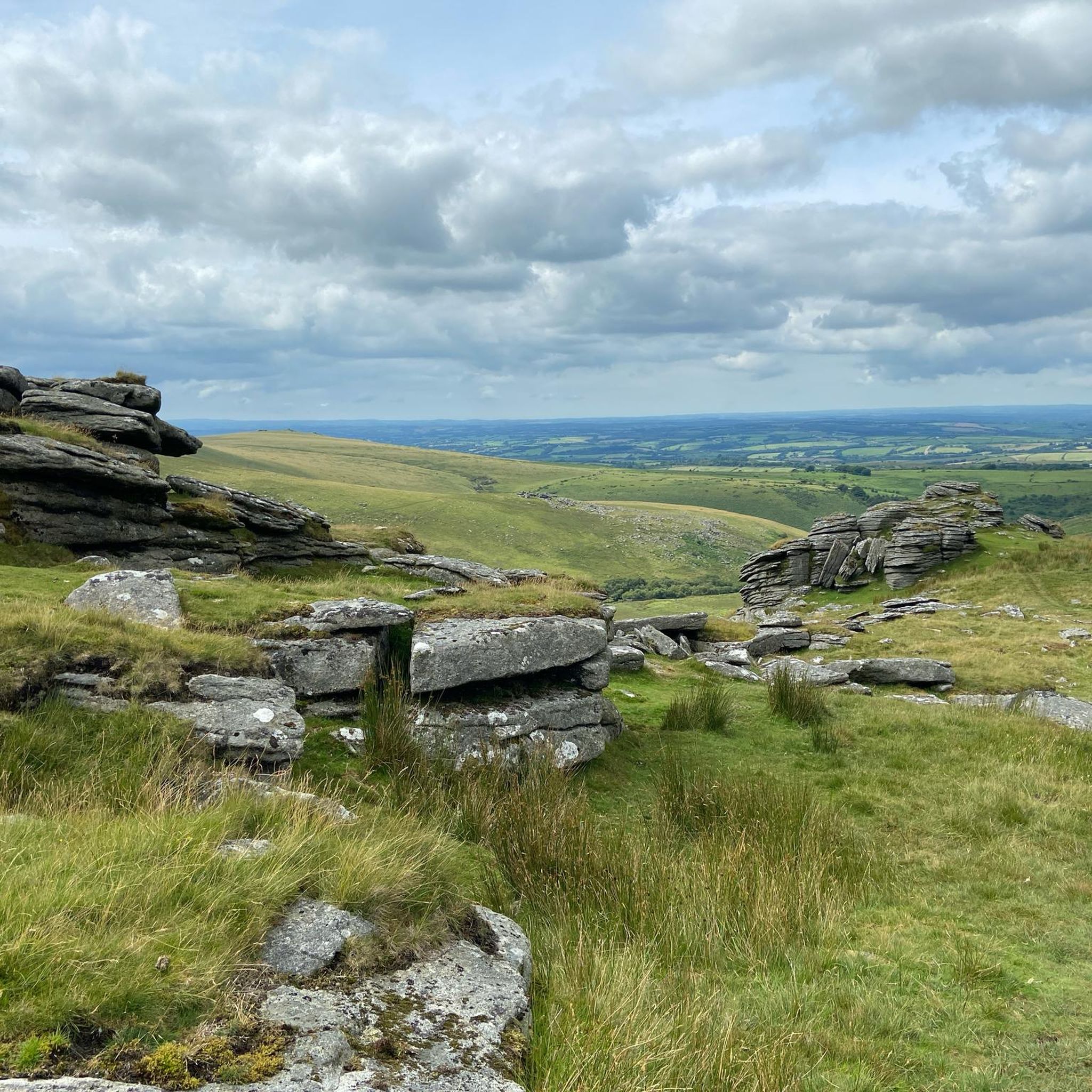
Great Links Tor is a prominent tor on the north-western flank of Dartmoor, Devon, England. It is visible for a considerable distance on the approach to the moor from the west. It is one of the highest points on Dartmoor, standing 1,939 feet (591 m) above sea level and is dominated by a monolithic outcropping of granite some 40 feet (12 m) high. There is an OS Triangulation point on a block to the west of the main outcrop.
4
0

Great Nodden bulges out of the moor on the western side of Dartmoor National Park. Its east side drops very steeply down to the River Lyd. Its west side curves more gently to the trackbed of the Rattlebrook Peatworks Railway (Disused) and the King Way. Grass paths rise to the top of Great Nodden providing super views of the high ground to the east and the Tamar Valley Area of Outstanding Natural Beauty and Cornwall to the west.
2
0

Great walk with amazing views, you can see for miles around in every direction.
0
0
Built by William Widgery to commemorate the Golden Jubilee of Queen Victoria in 1887. It is made from 10 courses of granite blocks and is the tallest cross on Dartmoor.
3
1
Widgery Cross was erected on Bray Tor (also known as Brat Tor and Widgery Tor) by William Widgery to commemorate the Golden Jubilee of Queen Victoria in 1887. It is made from 10 courses of granite blocks and is the tallest cross on Dartmoor. The cross is almost 12ft 8 inches (3.86 metres) in height and has a span of 4ft 4 inches (1.32 metres), the words “W. Widgery, Fecit, Jubilee VR” are inscribed on the eastern side of the base stone. The cross is orientated on a east – west alignment. There is a free car park not far from the base of the Tor which can be reached by turning up a track which runs alongside the Dartmoor Inn on the A386. It is approximately a 40 minute walk to the top and very well worth the effort to see the wonderful views.
6
0
Frequently Asked Questions
How many hiking trails are there in Lands common to Bridestowe and Sourton CP's?
There are nearly 300 hiking routes available in the Lands common to Bridestowe and Sourton CP's. These range from easy strolls to more challenging moorland expeditions, offering diverse options for all skill levels.
What is the general difficulty level of hikes in this area?
The hiking trails in this region offer a good mix of difficulties. You'll find over 120 easy routes, ideal for a relaxed walk, alongside 137 moderate trails for those seeking a bit more challenge. There are also 34 difficult routes for experienced hikers looking for strenuous climbs and longer distances.
What can I see along the hiking trails in this region?
The trails offer a wealth of natural beauty and landmarks. You can explore prominent granite tors like Yes Tor summit and High Willhays summit, the highest points in Devon. Other notable features include the historic Widgery Cross at Brat Tor, the scenic Meldon Reservoir, and the unique Black-a-Tor Copse National Nature Reserve with its rare high-altitude oak woodland.
Are there family-friendly hiking options in Lands common to Bridestowe and Sourton CP's?
Yes, the area offers many family-friendly options, particularly among the 120 easy routes. These often follow gentler paths through woodlands or along river valleys, providing accessible and enjoyable experiences for all ages. The Granite Way, a former railway line, is also a good choice for a flatter, scenic walk.
Can I hike with my dog in this region?
Yes, hiking with dogs is generally possible, but it's crucial to be aware of Dartmoor National Park's guidelines. Dogs should be kept under close control, especially on open moorland where livestock (sheep, cattle, ponies) graze. During bird nesting season (March 1 to July 31), dogs must be kept on a lead on open access land. Always clean up after your dog.
Are there many circular walking routes available?
Yes, the region is well-suited for circular walks. Many routes are designed to take you through varied landscapes, often combining sections of farmland, the Granite Way, and moorland, frequently including detours to specific tors or natural reserves. For example, the Widgery Cross & Great Links Tor loop is a popular circular option.
What are the parking and public transport options for accessing trails?
Parking is available at various points around the commons, often near popular trailheads or villages like Bridestowe and Sourton. Specific car parks can be found near major attractions such as Meldon Reservoir or Sourton Tors. Public transport options are more limited, but local bus services connect some of the villages. It's advisable to check local timetables in advance if relying on public transport.
What do other hikers enjoy the most about hiking in Lands common to Bridestowe and Sourton CP's?
The area is highly rated by the komoot community, with an average score of 4.7 stars from nearly 1000 reviews. Hikers frequently praise the dramatic Dartmoor tors, the expansive moorland views, and the diverse terrain that offers both challenging climbs and peaceful valley walks. The sense of wildness and the opportunity to explore unique natural features like Black-a-Tor Copse are also highly valued.
Are there any routes that feature waterfalls or significant water features?
While the region is characterized by rivers like the Lew and Crandford Brook, and features the scenic Meldon Reservoir, prominent waterfalls are less common directly within the Bridestowe and Sourton CPs. However, the nearby Lydford Gorge is renowned for its dramatic waterfall and river features, offering a spectacular natural attraction a short distance away.
What is the best time of year to hike in this area?
Spring and summer (April to September) generally offer the most pleasant hiking conditions with warmer weather and longer daylight hours, making it ideal for exploring the open moorland. Autumn brings beautiful colours to the landscape. Winter hiking is possible but requires appropriate gear and experience due to potentially harsh weather, including strong winds and low visibility on the exposed tors.
Are there any routes that explore the Upper West Okement Valley?
Yes, the Upper West Okement Valley, near Sourton, is a significant area for hiking. It's rich in points of interest, including a National Nature Reserve and numerous rocky tors. Routes in this area often follow the West Okement River, which rises on Dartmoor's north plateau, providing a different landscape experience compared to the more exposed moorland.
Can I find routes that include the Granite Way?
Yes, the Granite Way, a popular multi-use trail, passes through this area, notably over the Meldon Viaduct. You can find routes that incorporate sections of this former railway line, offering relatively flat and accessible paths with excellent views of the surrounding Dartmoor landscape and the Meldon Reservoir.
Most popular routes around Lands common to Bridestowe and Sourton CP's
Most popular attractions around Lands common to Bridestowe and Sourton CP's

Get inspired with the komoot mobile app


Explore more
Browse the best Hikes in other regions.
