The best road cycling routes around Aghanaglack
4.3
(14)
74
riders
9
rides
Road cycling routes around Aghanaglack are situated within the scenic Ballintempo Forest and the wider Marble Arch Caves Global Geopark in County Fermanagh. The landscape features a mix of coniferous forests, open bog land, and views of rocky crags and upland lakes, including Lough Blockent. While Aghanaglack itself contains some gravel tracks, the surrounding region offers a network of paved roads suitable for road cycling, providing varied terrain and elevation changes. Cyclists can experience routes that offer glimpses of Cuilcagh…
Last updated: October 29, 2026
118km
05:19
870m
870m
Hard road ride. Very good fitness required. Mostly well-paved surfaces and easy to ride.
8
riders
54.4km
02:30
560m
560m
Moderate road ride. Good fitness required. Mostly well-paved surfaces and easy to ride.

4.0
(2)
10
riders
30.6km
01:33
370m
370m
Moderate road ride. Good fitness required. Mostly well-paved surfaces and easy to ride.
4
riders
28.9km
01:14
200m
200m
Easy road ride. Mostly well-paved surfaces and easy to ride.
3
riders
58.7km
02:49
490m
490m
Moderate road ride. Good fitness required. Mostly well-paved surfaces and easy to ride.
Get access to more routes and recommendations from other explorers.
Already have an account?
Our route recommendations are based on thousands of hikes, rides, and runs completed by other people on komoot.
Start today with a free account
Your next adventure awaits.

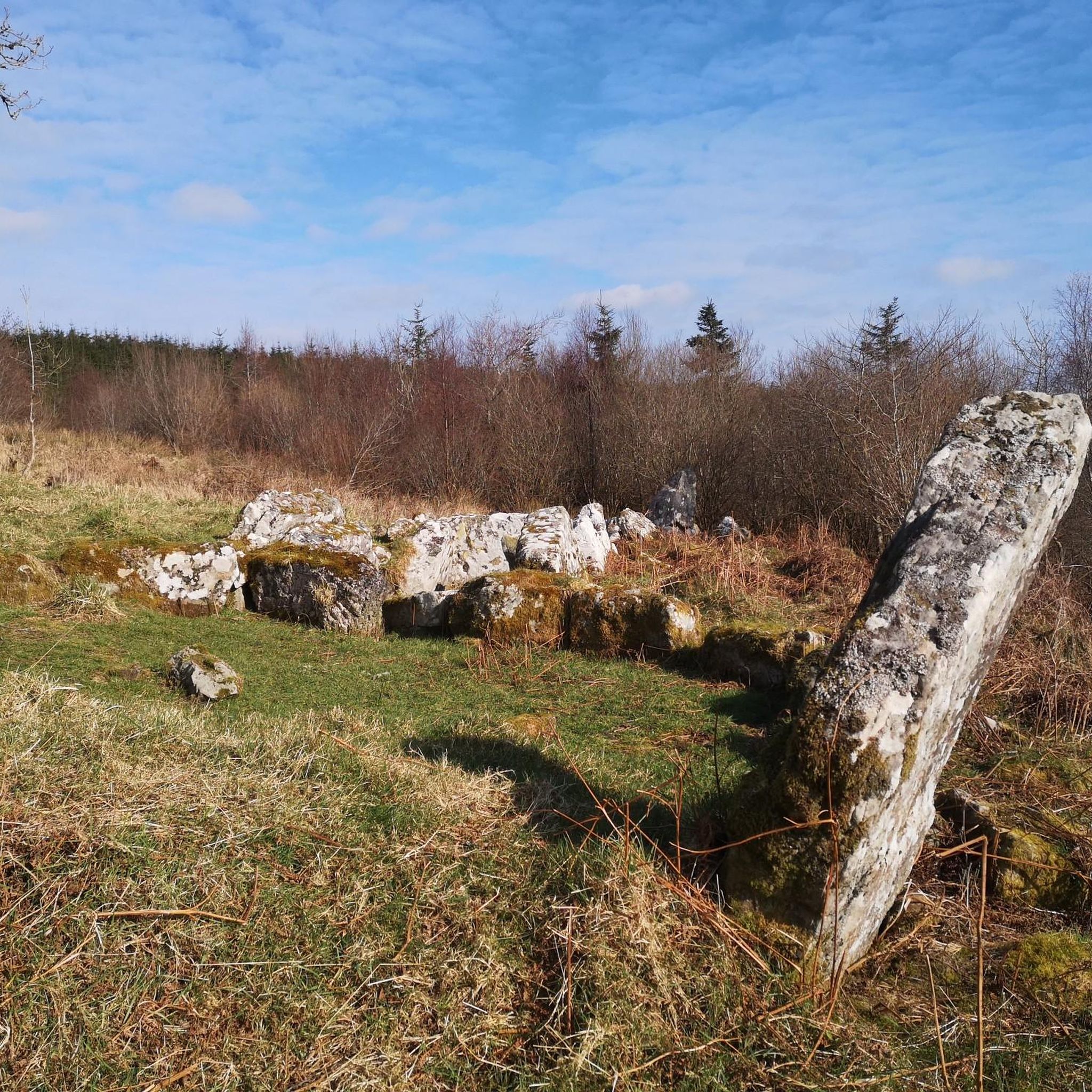
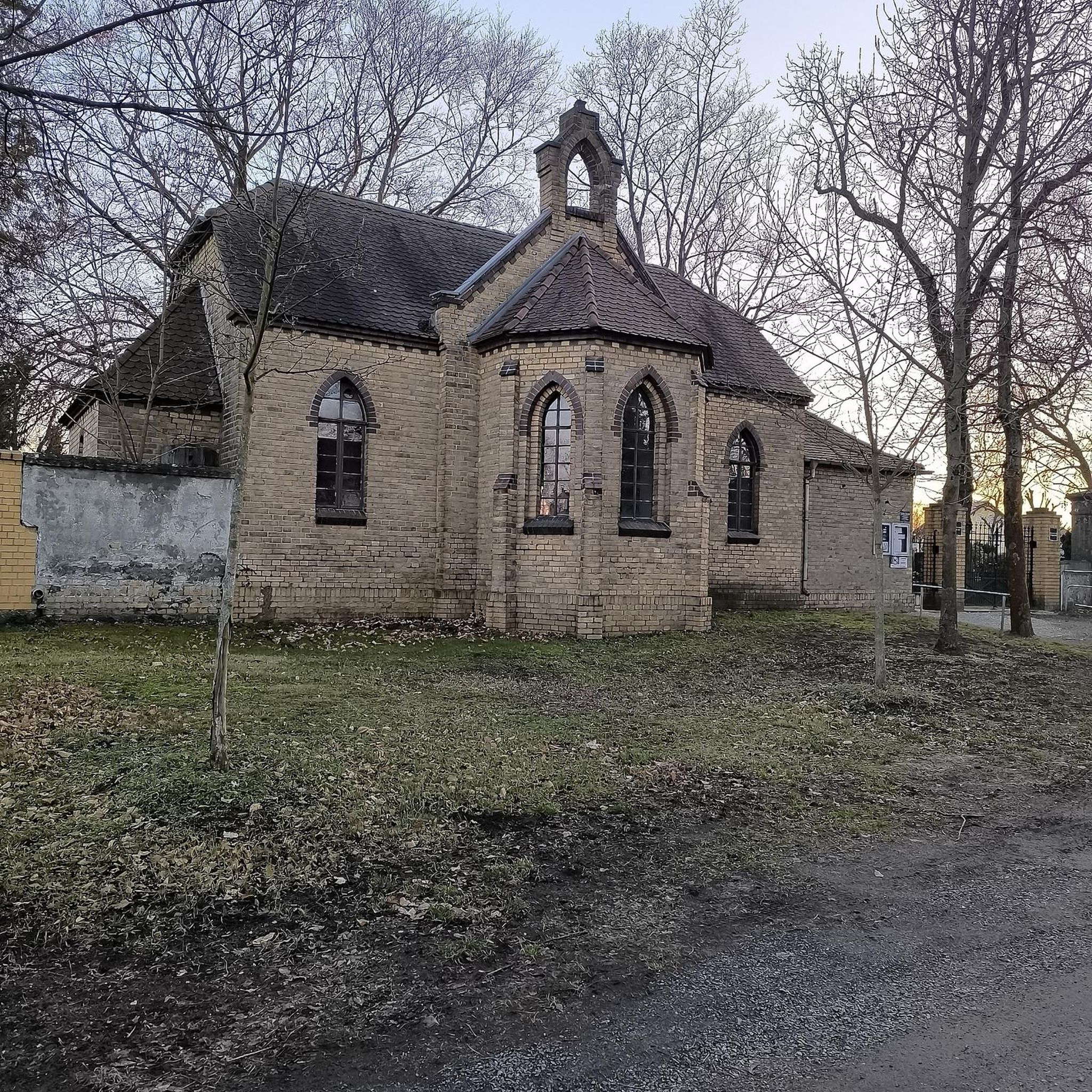
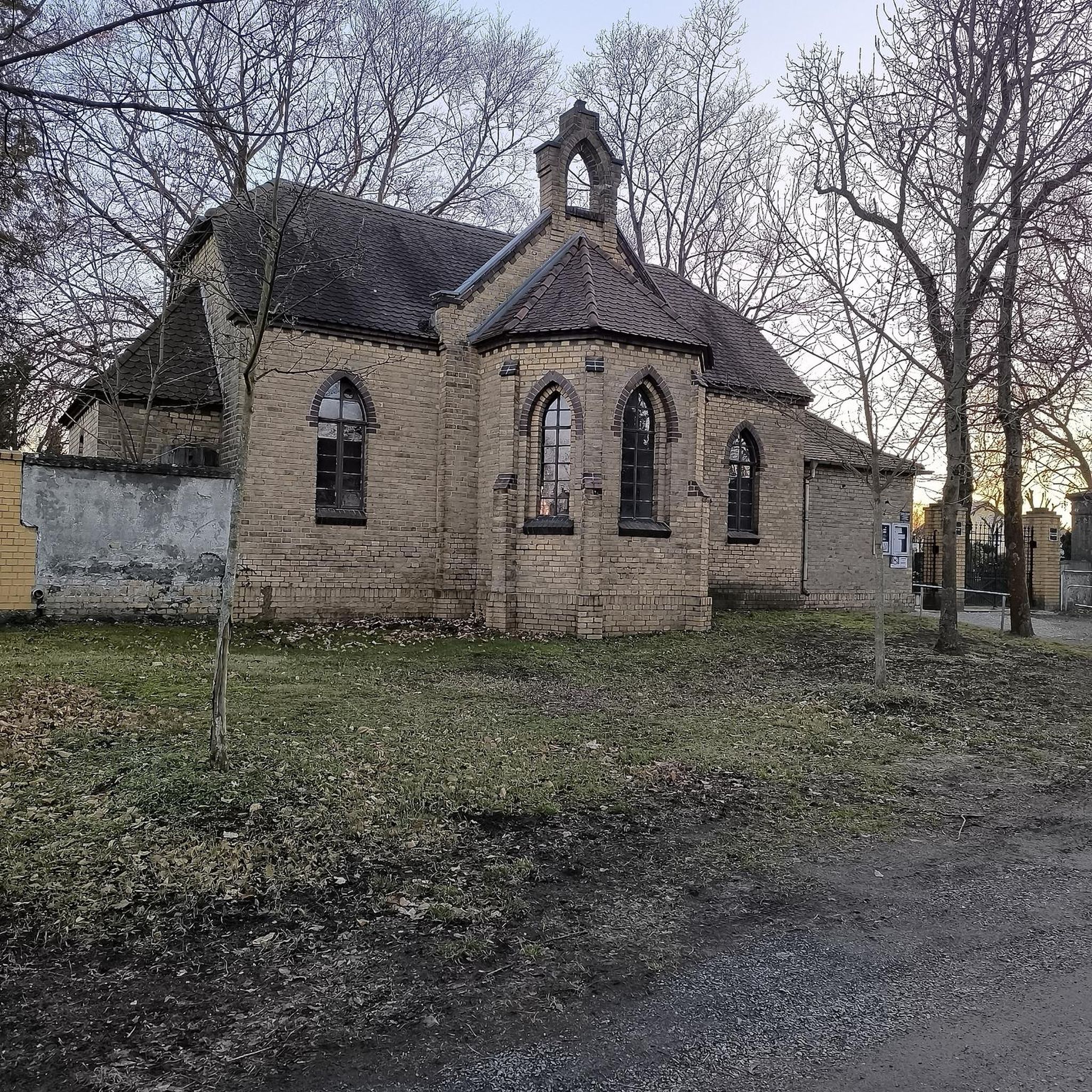
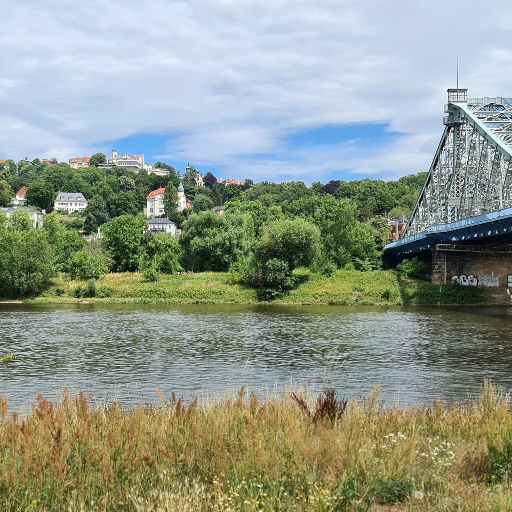
Tips from the Community

The Cavan Way is a 26 km (16 mile) walking route between Blacklion and Dowra. The route was designed to showcase the amazing landscapes of West Cavan. The route is often split into two sections - Blacklion to Shannon Pot (near here), and Shannon Pot to Dowra.
0
0

Built between 1634 and 1636, Manorhamilton Castle is a fine sight. The castle survived the Irish Rebellion in 1641 but succumbed to the Earl of Clanrickard in 1652 and was burned. It's the official start point for the 60-kilometre (37 mi) Leitrim Way, which journeys to Leitrim Village Marina.
0
0

Quiet, open part of Donegal Bay where the Breedoge River flows into the sea. Wide horizon, tidal flats and views of Bundoran make this a subtle but atmospheric landscape moment between Tullaghan and the Donegal coast.
3
0

The castle now houses the Fermanagh County Museum, which focuses on the history, culture and natural history of the county.
0
0

Would not regard the Sligo Road from Enniskillen to Belcoo as a cycle friendly road. Extremely poor surface for considerable stretches, very bendy in places too. I live in Enniskillen; have cycled it but would avoid it if at all possible. Cycling via Five Points , on Swanlinbar Road; then via old rail line from old Letterbreen railway station towards Lough MacNean ; or take road from Five Points towards Gortatole is a far more pleasant and safer option.
2
0

The magnificent Enniskillen Castle is situated in the heart of Enniskillen on the banks of the River Erne. The castle was founded in the 15th century by Hugh 'The Hospitable' Maguire and belonged to the Maguire family for centuries. Between 2007 and 2013 a massive refurbishment took place so that the castle could be opened to the public. Today you can explore the castle grounds and learn about this landmarks rich history.
1
0
Nice village green with toilets and Loch side views
0
0

Ballyshannon is said to be the oldest town in Ireland and archaeological investigations have indeed found evidence the town dates back as far as 4000 and 2500 BC. The town as it is today was formed by Royal Charter in 1613. There are numerous places to eat and drink in Ballyshannon with the option of sitting out on the water's edge. It makes a great place to start or finish a ride as well as being a cafe stop destination.
1
0
Frequently Asked Questions
How many road cycling routes can I find around Aghanaglack?
There are over 10 road cycling routes available around Aghanaglack, offering a variety of distances and difficulty levels. These routes explore the scenic Ballintempo Forest and the wider Marble Arch Caves Global Geopark.
What kind of terrain can I expect on road cycling routes near Aghanaglack?
Road cycling routes near Aghanaglack feature a mix of terrain, from paved roads winding through coniferous forests to open bog land. You can expect views of rocky crags, upland lakes like Lough Blockent, and glimpses of Cuilcagh Mountain. The region's geology offers varied elevation changes, making for engaging rides.
Are there any easy road cycling routes suitable for beginners around Aghanaglack?
Yes, there are easy routes available. For instance, the Corracloona Court Tomb loop from Belcoo is an easy 18.0 miles (28.9 km) route that takes about 1 hour 13 minutes to complete, offering a gentle introduction to the area's cycling. Overall, 2 of the 10 routes are rated as easy.
What are some challenging road cycling routes for experienced riders?
For experienced riders seeking a challenge, the Bundoran to Lower Lough Erne loop from Blacklion is a difficult 73.3 miles (118.0 km) trail. This route explores the expansive Lower Lough Erne area and features significant elevation changes, taking approximately 5 hours 18 minutes to complete.
Are there any circular road cycling routes around Aghanaglack?
Yes, many of the routes around Aghanaglack are designed as loops. For example, the Lower Lough MacNean loop from Belcoo is a moderate 33.6 miles (54.1 km) path that offers a scenic circular tour around Lough MacNean. Another option is the Carrick Lough – Old Man's Head loop from Giltagh, a 19.0 miles (30.6 km) trail.
What historical or natural attractions can I see along the road cycling routes?
The region is rich in attractions. You might encounter ancient sites like the Giant's Grave & Giant's Cave or the Cavan Burren Park Megalithic Stones. Natural features include the picturesque Lower Lough MacNean and the serene Carrick Lough. Keep an eye out for the Cladagh Glen Waterfall for a refreshing stop.
Is Aghanaglack suitable for family-friendly road cycling?
While Aghanaglack is part of a scenic area, the specific forest tracks within Ballintempo Forest are often coarse gravel and generally not suitable for traditional road cyclists or family-friendly cycling due to their challenging terrain. However, the wider network of paved roads in County Fermanagh offers more suitable options for families, especially on the easier routes.
What do other road cyclists enjoy most about cycling in Aghanaglack?
The area is highly rated by the komoot community, with an average score of 4.2 stars from over 20 reviews. Cyclists often praise the varied terrain, the stunning views of upland lakes and Cuilcagh Mountain, and the opportunity to explore the rich natural and historical landscape of the Marble Arch Caves Global Geopark.
Are there any viewpoints along the road cycling routes?
Yes, the routes offer several scenic viewpoints. You can enjoy panoramic vistas of Lough Nabrickboy and the expansive landscape including the Sillees River, Ross Lough, and Carran Lough. The region's rocky crags and upland areas provide numerous opportunities for breathtaking views.
Where can I find parking for road cycling routes in Aghanaglack?
Parking is available at various points around the region. For example, the Cuilcagh Mountain Park Car Park is a known location that can serve as a starting point for exploring the wider area, including routes that connect to Aghanaglack.
What is the best time of year for road cycling in Aghanaglack?
The best time for road cycling in Aghanaglack is typically during the spring, summer, and early autumn months. During these periods, the weather is generally milder and more predictable, allowing for more comfortable rides and better enjoyment of the scenic landscapes. Always check local weather forecasts before heading out.
Are there opportunities for wild swimming near the cycling routes?
While specific wild swimming spots are not explicitly highlighted along the immediate road cycling routes, the region is known for its numerous lakes, including Lough Blockent and the larger Lough MacNean. These natural bodies of water may offer opportunities for wild swimming, but it's advisable to research local regulations and safety guidelines for any specific location you plan to visit.
Most popular attractions around Aghanaglack

Get inspired with the komoot mobile app


Explore more
Browse the best Road cycling routes in other regions.
