The best mountain hikes in the Bezirk Bludenz
4.8
(834)
6,624
hikers
298
hikes
Mountaineering in the Bezirk Bludenz offers diverse alpine landscapes within the Lechquellen Mountains, Rätikon, and Verwall mountain ranges. The region features numerous impressive summits, including Schesaplana and Piz Buin, alongside picturesque mountain lakes such as Lünersee and Silvretta-Stausee. Diverse valleys like Brandnertal and Klostertal provide varied terrain, from rugged cliffs to pristine nature. This area is characterized by its extensive network of trails and established mountain hut infrastructure.
Best mountaineering routes in the Bezirk Bludenz
- The most popular mountaineering route…
Last updated: July 29, 2026
4.8
(48)
363
hikers
14.2km
08:25
1,420m
1,420m
Hard mountaineering route. Very good fitness required. Sure-footedness, sturdy shoes and alpine experience required.
5.0
(21)
284
hikers
10.5km
06:58
840m
850m
Hard mountaineering route. Very good fitness required. Sure-footedness, sturdy shoes and alpine experience required.

Sign up for free
4.9
(40)
252
hikers
12.7km
07:22
1,060m
1,060m
Hard mountaineering route. Very good fitness required. Sure-footedness, sturdy shoes and alpine experience required.
4.9
(22)
185
hikers
4.27km
02:12
300m
300m
Hard mountaineering route. Good fitness required. Sure-footedness, sturdy shoes and alpine experience required.
4.3
(3)
124
hikers
6.11km
03:42
550m
550m
Hard mountaineering route. Good fitness required. Sure-footedness, sturdy shoes and alpine experience required.
4.9
(18)
103
hikers
11.8km
04:58
770m
770m
Moderate mountaineering route. Good fitness required. Mostly accessible paths. Sure-footedness required.
4.9
(18)
94
hikers
17.8km
07:03
1,020m
1,020m
Hard mountaineering route. Very good fitness required. Sure-footedness, sturdy shoes and alpine experience required.
4.8
(17)
125
hikers
4.91km
03:38
370m
370m
Hard mountaineering route. Good fitness required. Sure-footedness, sturdy shoes and alpine experience required.
4.8
(15)
115
hikers
12.7km
06:06
930m
930m
Hard mountaineering route. Very good fitness required. Sure-footedness, sturdy shoes and alpine experience required.
4.9
(17)
133
hikers
5.73km
04:19
680m
680m
Hard mountaineering route. Good fitness required. Sure-footedness, sturdy shoes and alpine experience required.
Get access to more routes and recommendations from other explorers.
Sign up for free
Already have an account?
Our route recommendations are based on thousands of hikes, rides, and runs completed by other people on komoot.
Start today with a free account
Your next adventure awaits.
Login or Signup
Popular around Bezirk Bludenz
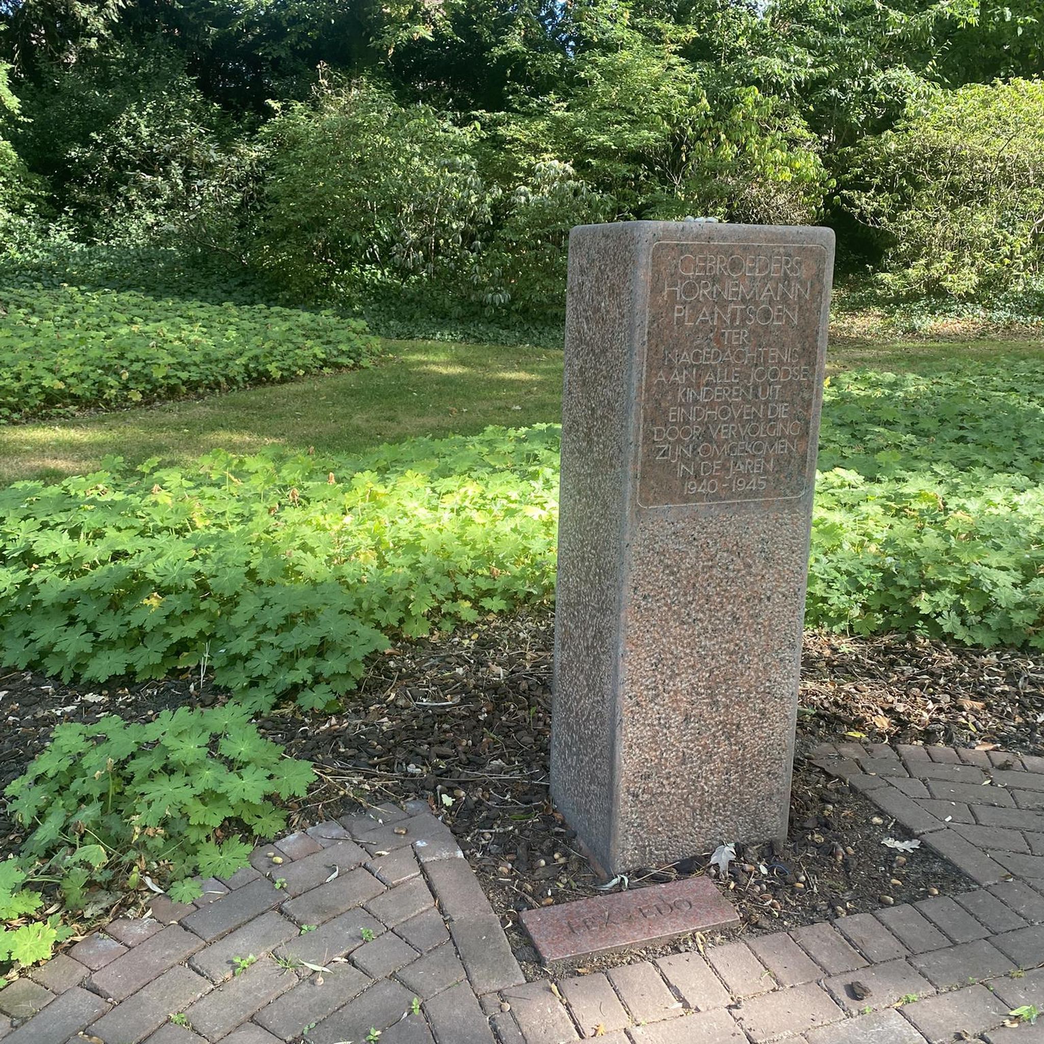
Mountain Hikes around Vandans
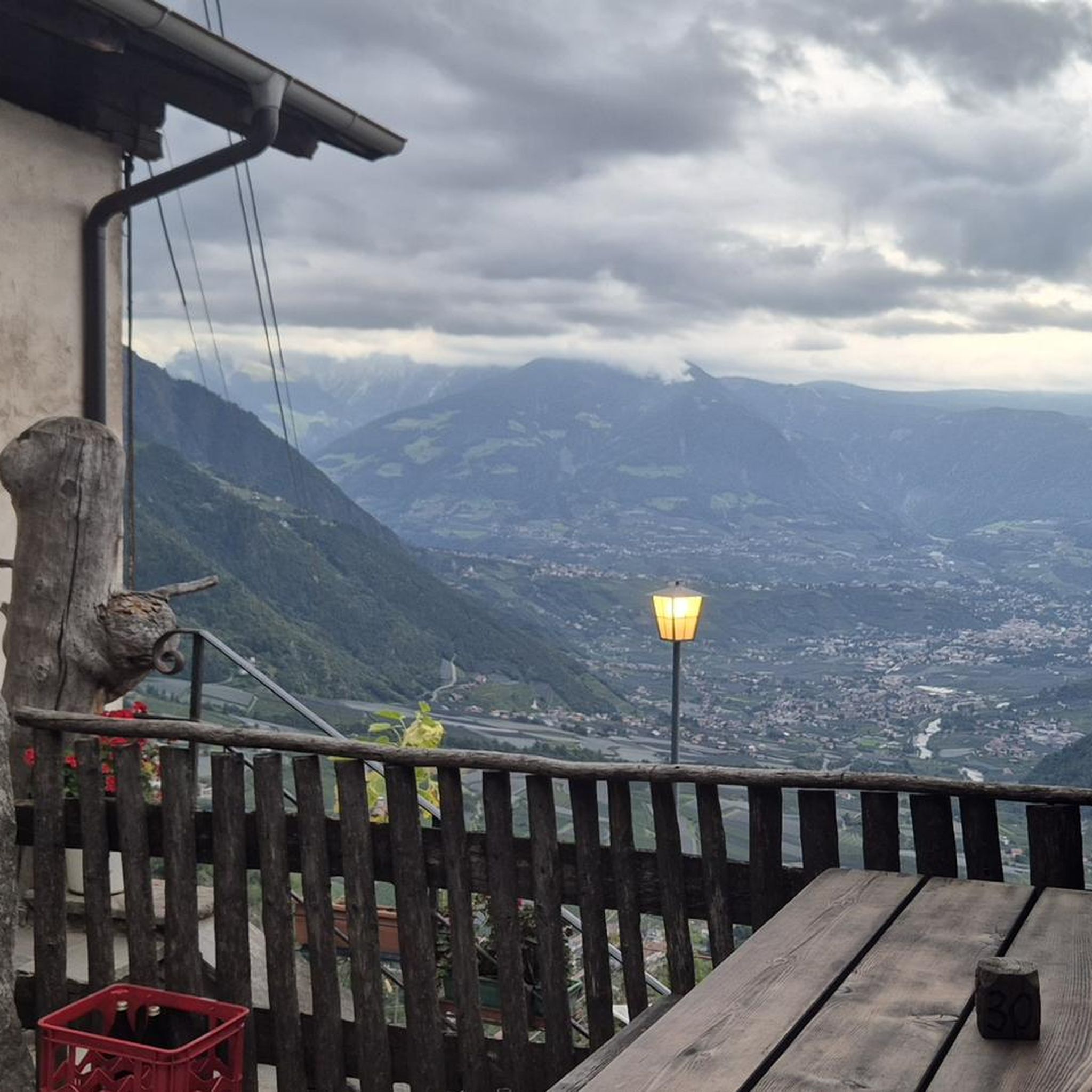
Mountain Hikes around Sankt Gallenkirch
Mountain Hikes around Tschagguns
Mountain Hikes around Gaschurn
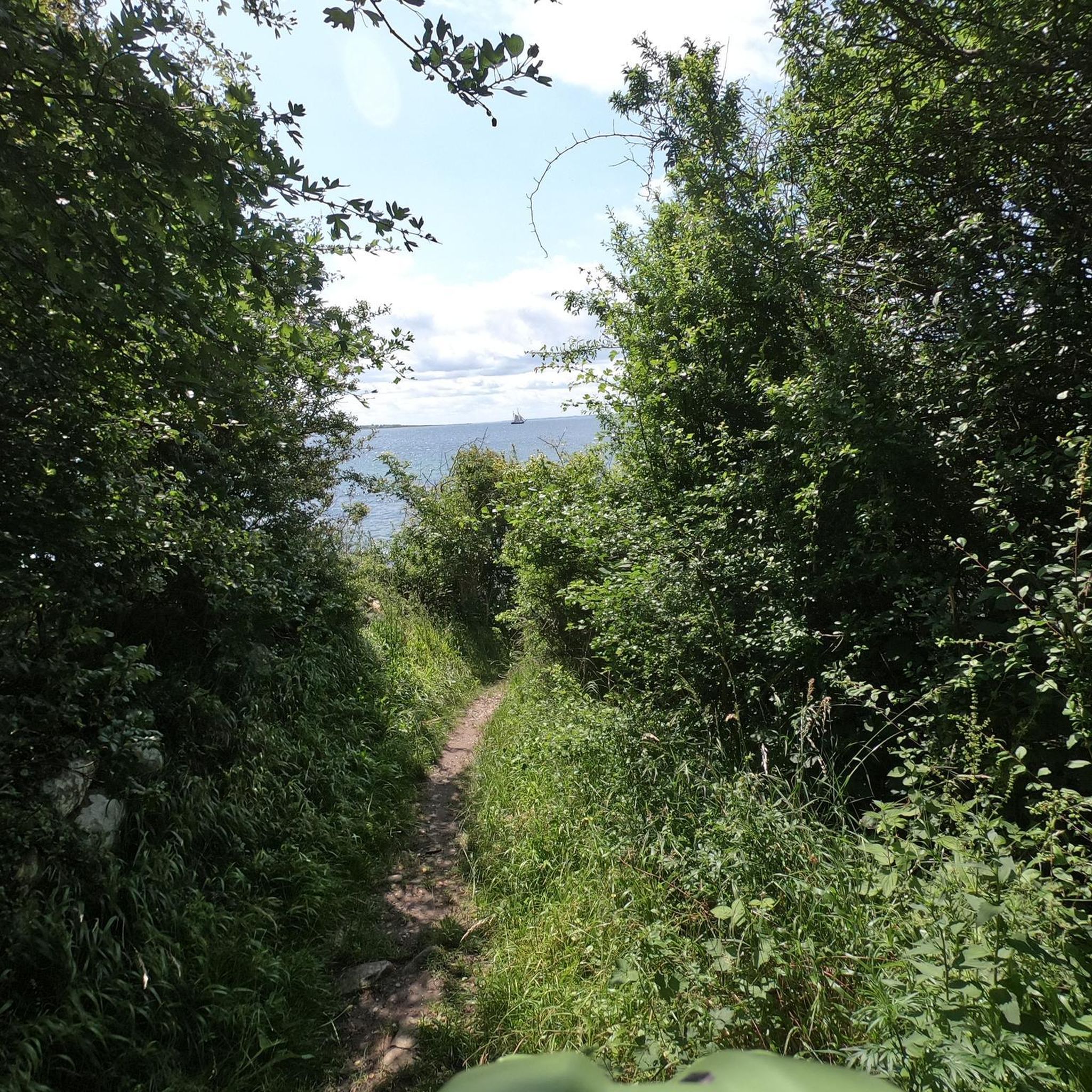
Mountain Hikes around Lünersee
Mountain Hikes around Bürs
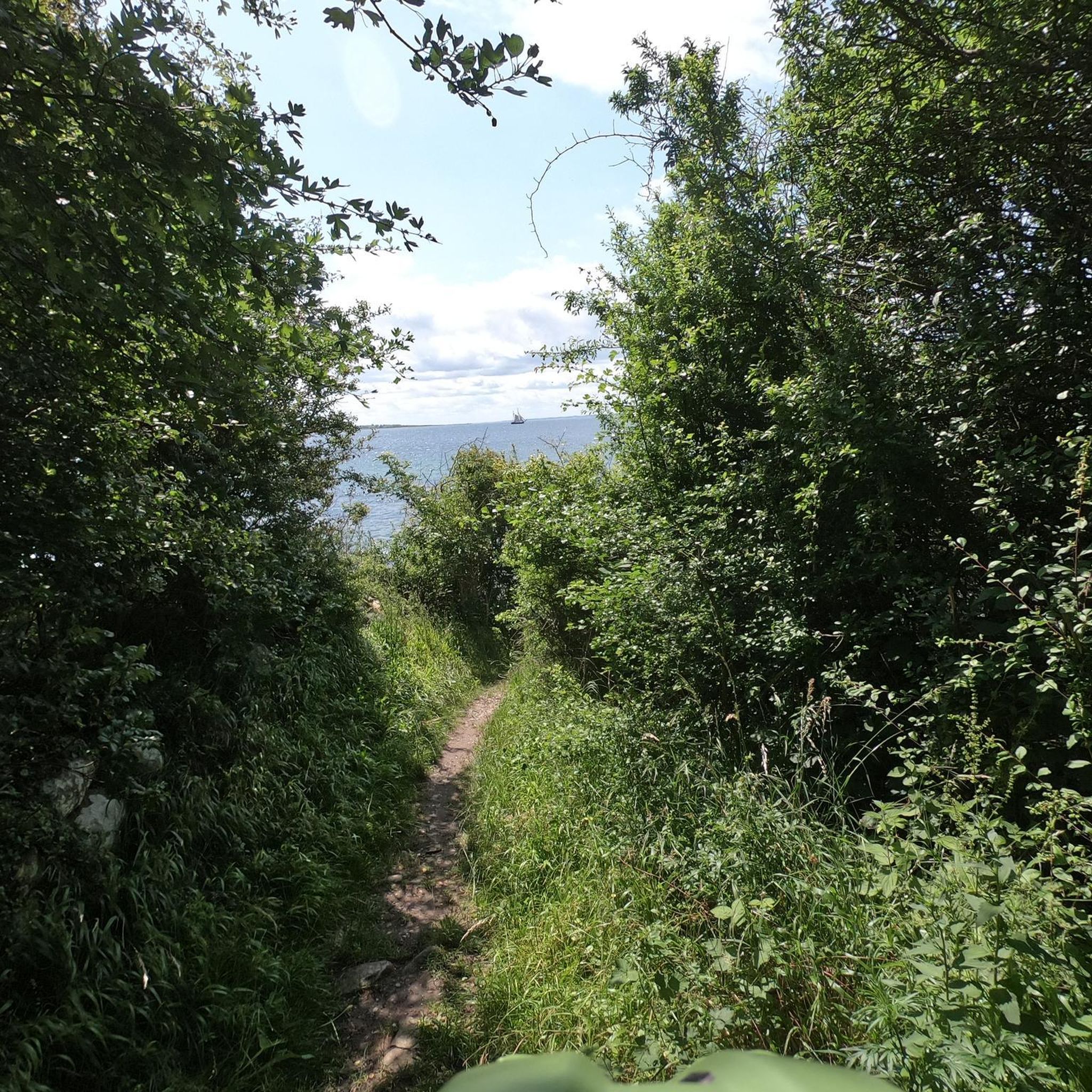
Mountain Hikes in Geschützter Landschaftsteil Rellstal Und Lünerseegebiet
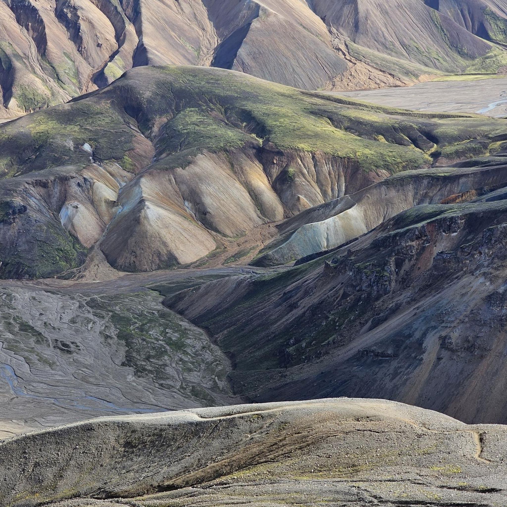
Mountain Hikes in Auwald
Mountain Hikes around Vermunt-Stausee
Mountain Hikes in Ruhezone Vergaldatal
Other adventures in the Bezirk Bludenz


Tips from the Community

The fairytale-like Lünersee is also known as the pearl of the Rätikon mountains and is hidden at an altitude of no less than 1,970 meters between the steep alpine peaks. Did you know that this magical turquoise lake was originally one of the largest natural mountain lakes in the Eastern Alps until a dam was built in 1958 for hydropower? Today, you can walk a magnificent loop around the water in about two hours, while the mighty Schesaplana – at 2,965 meters, the highest mountain in the Rätikon – proudly towers above you. Thanks to the convenient Lünerseebahn, you can float from the valley to this alpine paradise in a few minutes, where the crystal-clear meltwater seems to glow on sunny days!
0
0

At the beginning of the ascent T2/T3. Later it becomes rockier, steeper and more exposed. Difficulty from approx. halfway up T3+, later T4- with light climbing sections, partly secured with ropes. The last 250 vertical meters are sweat-inducing, but you are rewarded with a dream panorama.
0
0
At the foot of the mountain, a still quite easy ascent T2/T3. Later it becomes rockier, steeper and more exposed with some light climbing, partly secured by ropes, difficulty T3+/T4-. The last 250m are quite sweaty. The ascent is definitely worth it and at the top you will be rewarded with a dream panorama.
0
0

Lünersee was once a natural mountain lake. By building a dam in 1959, the lake became a reservoir with a capacity of 78.3 million m3. When the lake is full, it is 139 m deep. The circular path around the lake is largely family-friendly and easy to walk.
8
0

Frequently Asked Questions
How many mountaineering routes are available in the Bezirk Bludenz?
The Bezirk Bludenz offers a vast network of over 300 mountaineering routes. These range from easy paths to challenging summit ascents, catering to various skill levels.
What kind of terrain can I expect on mountaineering routes in Bezirk Bludenz?
You'll find incredibly diverse terrain, from the rugged cliffs and thundering waterfalls of Klostertal to the pristine nature of the Großes Walsertal Biosphere Park. The region is nestled amidst the Lechquellen Mountains, the Rätikon, and the Verwall mountain range, offering majestic peaks, alpine karst plateaus like the "Steinerne Meer," and picturesque mountain lakes.
Are there any easy mountaineering routes suitable for beginners in Bezirk Bludenz?
Yes, while many routes are challenging, there are 8 easy mountaineering routes available. These are great for those new to mountaineering or looking for a less strenuous experience in the alpine environment.
What are some notable natural features or landmarks to see along the routes?
The region is rich in natural beauty. You can explore stunning alpine lakes like the Lünersee, Silvretta-Stausee, and Formarinsee. Impressive peaks such as Schesaplana and Piz Buin offer breathtaking views. Don't miss the dramatic Bürs Gorge Trail or the Teufelsbach Waterfall in the Klostertal.
Are there any circular mountaineering routes in Bezirk Bludenz?
Yes, many routes offer a circular experience. For example, you could try the difficult Lake Lüner – Schesaplana Summit loop from Lünersee, which takes you to the Schesaplana summit with views of the Lünersee. Another option is the View of the Lünersee – Lünersee loop from Lünersee, which explores the scenic area around the lake.
Where can I find mountain huts for overnight stays or refreshments?
The Bezirk Bludenz has a well-established network of mountain huts. Notable options include the Totalp Hut, Lindauer Hut, Wormser Hut, and the Douglass Hut at Lake Lünersee. These provide essential refuge and hospitality for mountaineers.
What do other mountaineers say about the routes in Bezirk Bludenz?
The routes in Bezirk Bludenz are highly rated by the komoot community, with an average score of 4.8 stars from over 900 reviews. Mountaineers often praise the diverse alpine landscapes, the stunning views from peaks like Schesaplana and Piz Buin, and the well-maintained trail networks.
Are there any challenging routes for experienced mountaineers?
Absolutely. The Bezirk Bludenz is known for its challenging terrain, with 244 difficult routes. A prime example is the Buin Pass – Piz Buin Summit loop from Wiesbadener Hütte, which ascends to the Piz Buin summit, traversing high alpine terrain.
Can I access higher altitudes easily in Bezirk Bludenz?
Yes, cable cars like the Lünerseebahn and Muttersbergbahn offer convenient access to higher altitudes, making various peaks and trails more accessible for mountaineers.
Are there any routes that offer views of the Tyrol–Vorarlberg Border Marker?
Yes, you can find routes that pass by this significant landmark. Consider the difficult Tyrol–Vorarlberg Border Marker – Hohes Rad Summit loop from Bielerhöhe for a challenging experience with this specific viewpoint.
What is the best season for mountaineering in Bezirk Bludenz?
The best season for mountaineering typically runs from late spring to early autumn, when trails are clear of snow and weather conditions are generally more stable. However, conditions can vary greatly with altitude, so always check local forecasts before heading out.
Are there any routes that start from Wiesbadener Hütte?
Yes, the Wiesbadener Hütte serves as a great starting point for several challenging tours. You could embark on the difficult Chapel near Wiesbadener Hütte. – Tyrol–Vorarlberg Border Marker loop from Wiesbadener Hütte or the Chapel near Wiesbadener Hütte. – Dreiländerspitze (3,197 m) loop from Wiesbadener Hütte.
Most popular routes in the Bezirk Bludenz
Most popular attractions in the Bezirk Bludenz

Get inspired with the komoot mobile app


Didn’t find what you were looking for?
Check out more Mountain Hikes & Routes throughout Bezirk Bludenz below and find the perfect route in your destination.
