Litchfield And Woodcott
Litchfield And Woodcott
The best walks and hikes around Litchfield And Woodcott
4.6
(660)
4,650
hikers
271
hikes
Hiking trails around Litchfield and Woodcott are situated within the North Wessex Downs Area of Outstanding Natural Beauty, offering a diverse landscape for outdoor activities. The region features rolling countryside, ancient drovers' tracks, and chalk downs, providing varied terrain. Hikers can expect to encounter hills and open landscapes, with distinct boundaries formed by geological changes. This area is characterized by its natural beauty and historical landmarks.
Best hiking trails around Litchfield And Woodcott
- The most popular hiking route is Ladle…
Last updated: May 22, 2026
4.8
(10)
72
hikers
5.63km
01:34
100m
100m
Embark on the Ladle Hill loop from Sydmonton, a moderate hike through the North Wessex Downs that spans 3.5 miles (5.6 km) with an elevation gain of 336 feet (102…
4.8
(9)
80
hikers
Moderate hike. Good fitness required. Easily-accessible paths. Suitable for all skill levels.

Sign up for free
5.0
(7)
88
hikers
2.77km
00:54
120m
120m
Easy hike. Great for any fitness level. Easily-accessible paths. Suitable for all skill levels.
5.0
(3)
47
hikers
Moderate hike. Good fitness required. Easily-accessible paths. Suitable for all skill levels.
4.8
(5)
24
hikers
Moderate hike. Good fitness required. Easily-accessible paths. Suitable for all skill levels.
Get access to more routes and recommendations from other explorers.
Sign up for free
Already have an account?
Our route recommendations are based on thousands of hikes, rides, and runs completed by other people on komoot.
Start today with a free account
Your next adventure awaits.
Login or Signup

Tips from the Community

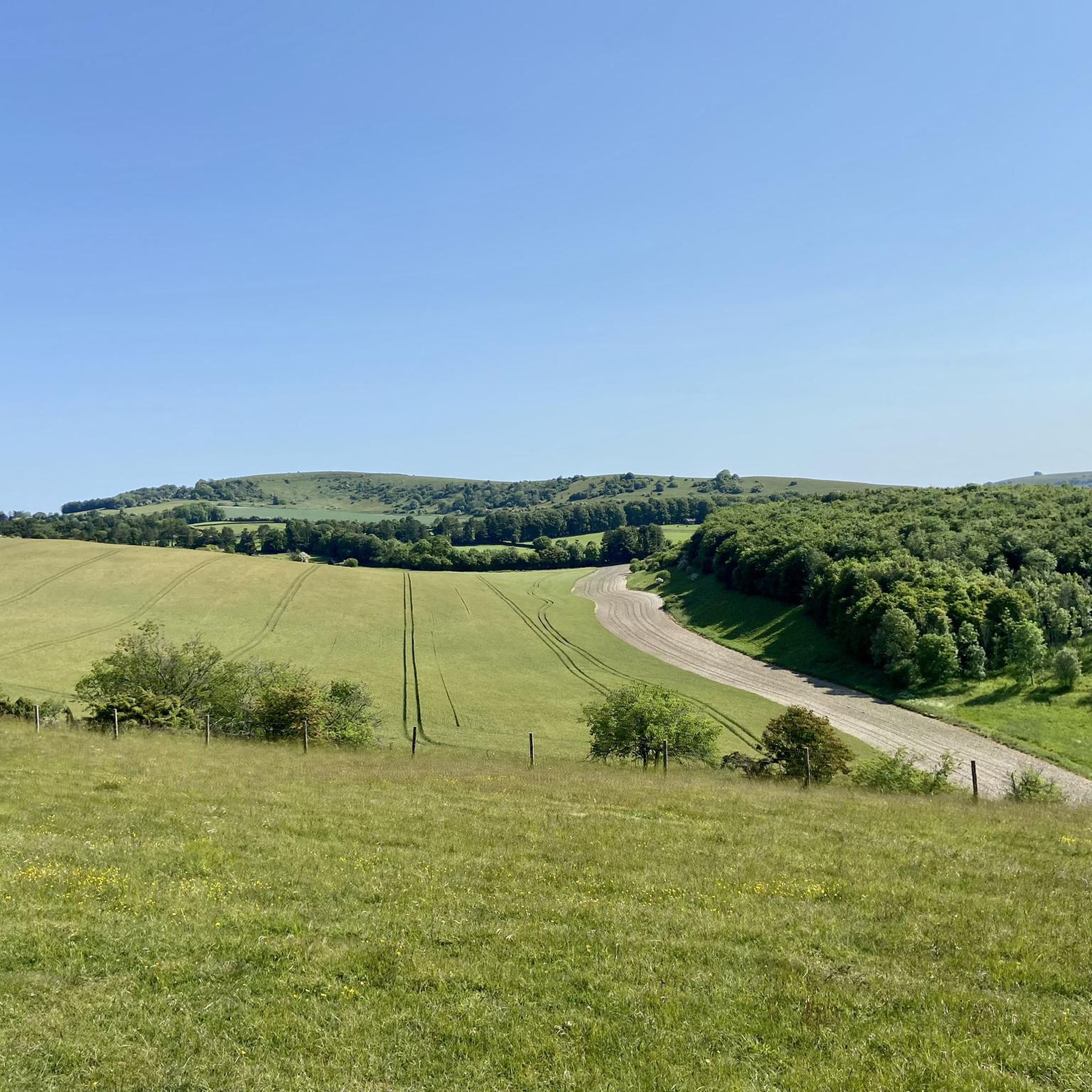
Watership Down Star rating: 4.7 out of 5 stars4.7Category:📍 Scenic spot Click to open side panel for more information'... I’m a huge Watership Down fan and it was magical to be here. ...'Opens in a new windowKaylaIf you’ve ever wanted to live out your own bunny adventure (minus the scary owls and general peril), Watership DownClick to open side panel for more information is a real, spectacularly beautiful place in North Hampshire. It’s part of a high chalk ridge that feels like the "top of the world" with views that stretch on forever.Everything in Richard Adams’ famous book—from the steep slopes to the specific farmhouses—is based on the real-life geography of this area. Here is how to enjoy it in a fun, relaxed way:The "Summit" ExperienceThe hill itself rises steeply on its northern side and slopes gently to the south. It’s a favorite for hikers and cyclists who want to feel like they’re standing on the spine of England.The Memorial Tree: At the top, you’ll find a beech tree planted in memory of Richard Adams. The original "Beech Hanger" from the book was destroyed in a 2004 storm, but the new one is protected by a wooden fence where fans have carved the names of the rabbits like Hazel, Bigwig, and Fiver.The "Iron Age" Vibe: The top of the hill is actually a partially completed Iron Age hill fort. You can still see the ancient earthworks and burial mounds (tumuli) that give the place a mysterious, ancient energy.Real Rabbits: Yes, there are actually plenty of rabbits! If you go at dawn or dusk, you’ll see the modern-day descendants of the book’s heroes hopping around the chalk grassland.Hidden Book LocationsYou can actually "track" the rabbits' journey through the local landscape, as almost every landmark in the story exists in the real world.Nuthanger Farm: This is a real working farm located just below the down. You can see it from the public footpaths, and it looks remarkably like the descriptions in the novel.The River Test: The rabbits famously crossed this river on a wooden punt. In reality, the Test is one of the clearest "chalk streams" in the world, famous for its trout and crystal-clear water.The Wayfarer’s Walk: This is the main "highway" for hikers that runs right along the ridge of the down. It’s the easiest way to navigate the area while soaking in the 360-degree views of the North Wessex Downs.
0
0
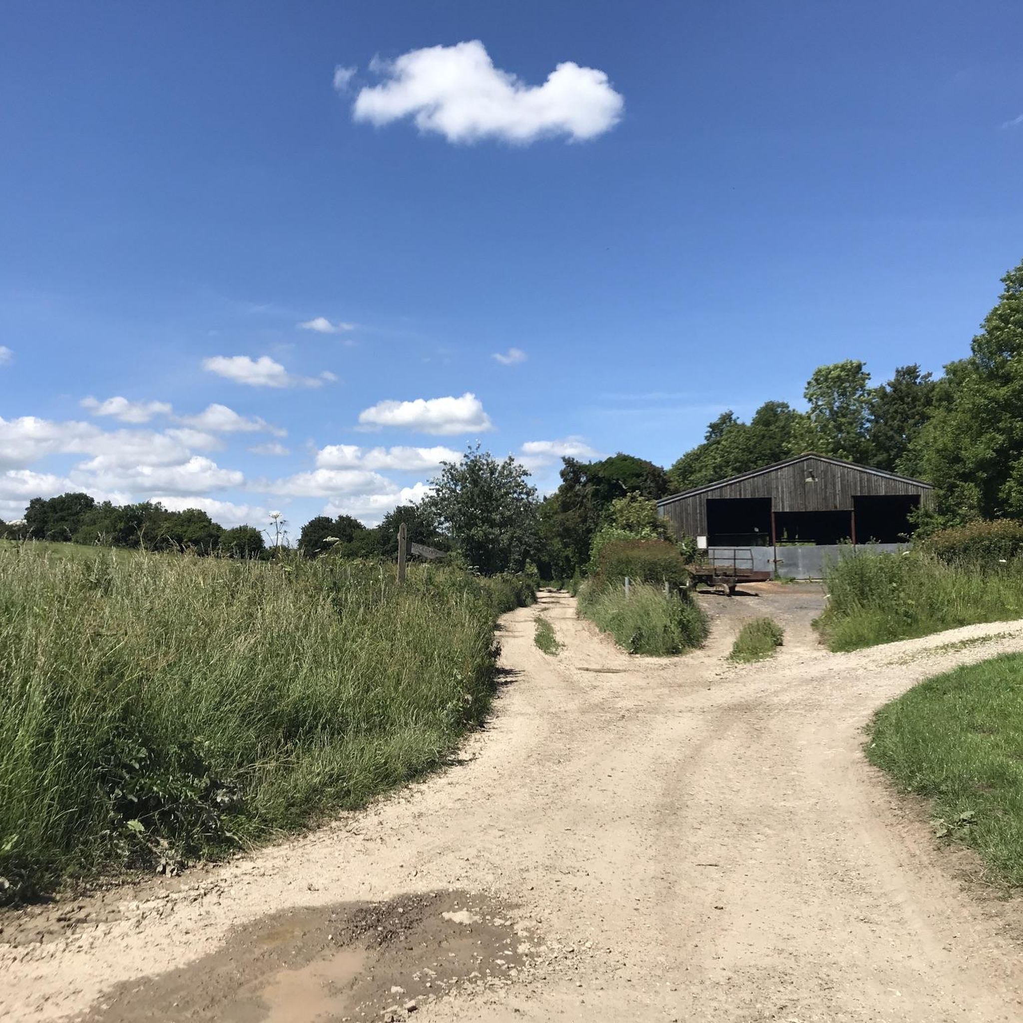
It might well be chalk in the summer time, It's most certainly clay during during the winter!
0
0
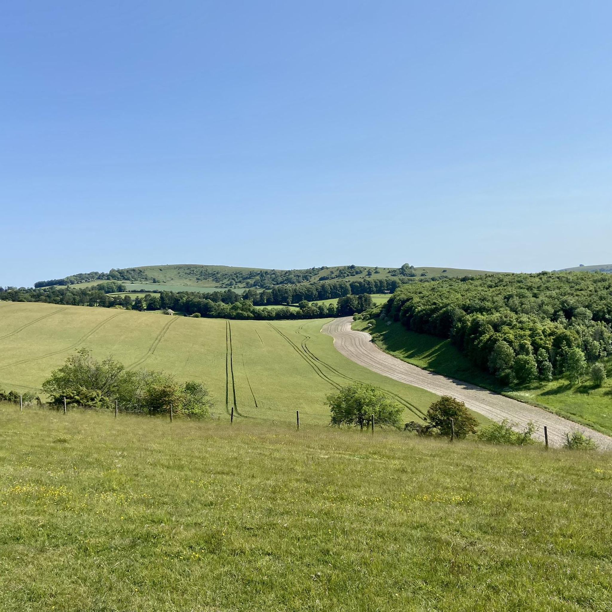
It's rather a steep way up, and weather depending, can be quite the challenge. Good footwear essential, but the hard effort is worth it with the views up top
1
0
Ladle Hill Fort is a famous unfinished Iron Age hillfort in Hampshire, England. Its abandonment mid-construction makes it invaluable for archaeologists, revealing the building methods for univallate enclosures. The site, also a Scheduled Monument, features well-preserved earthworks, a disc barrow, and earlier Bronze Age linear ditches, offering clear insights into ancient construction.
0
0
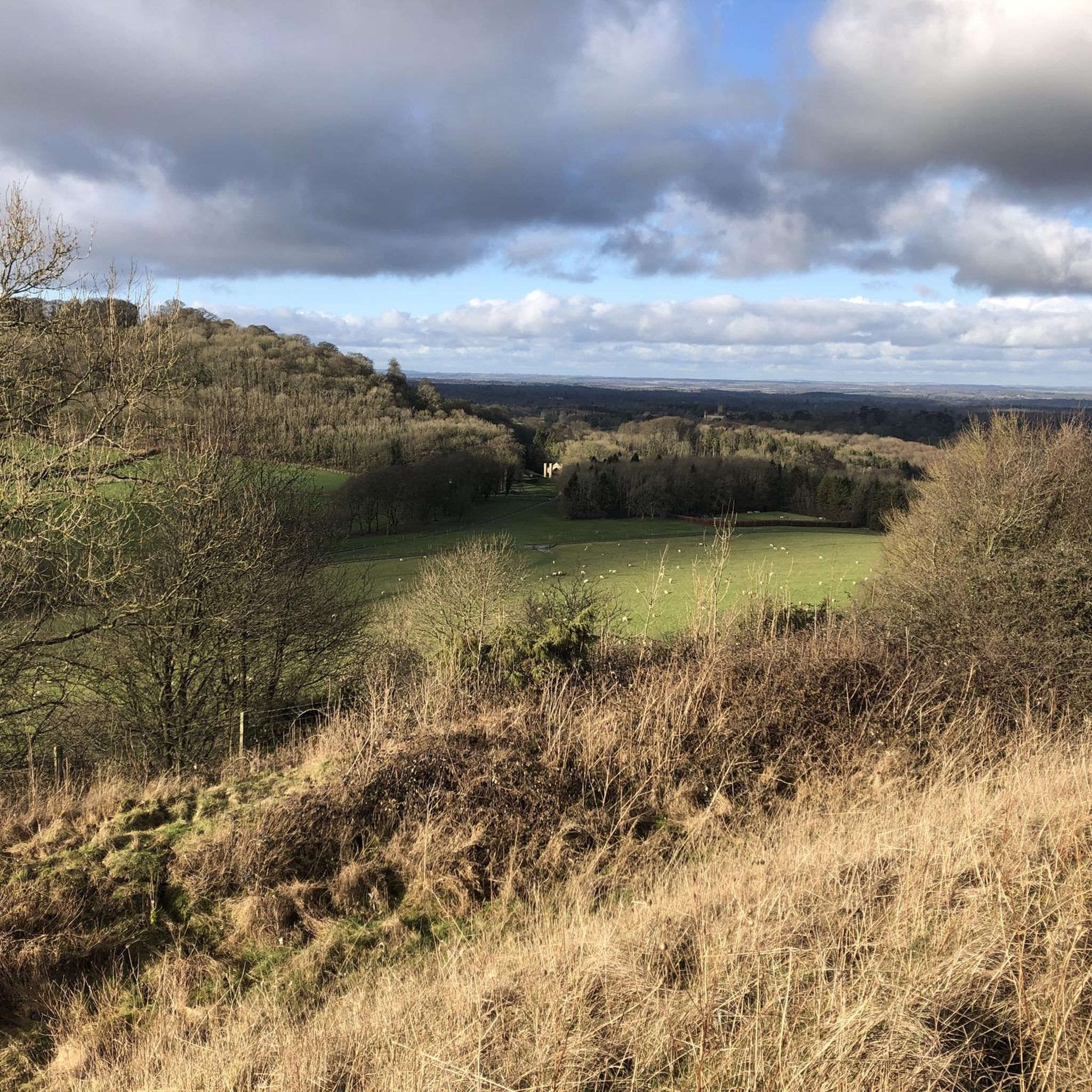
The Wayfarer's Walk is a 70-71 mile (113-114 km) long-distance footpath in England, running from the highest chalk downland to the coast. Here are the key details, which clarify its route regarding Wiltshire: Overall Route: It stretches from Inkpen Beacon (near the border of Berkshire/Hampshire) in the north, southwards to Emsworth Harbour on the south coast of Hampshire. Wiltshire Connection: The trail is primarily located within Hampshire and starts just over the border in West Berkshire. It does not pass through the main body of Wiltshire. Highlights: The walk follows ancient drovers' tracks and includes spectacular scenery over the North Wessex Downs, passing notable sites like: Walbury Hill (England's highest chalk hill) Watership Down Ladle Hill (the fort you asked about previously) Views of Highclere Castle The Meon Valley The path is well-marked with a distinctive "WW" waymarker.
0
0

There's a good log for sitting & resting under this tree.
0
0

A short section of twisty Singletrack linking Watership Down to Ladle Hill. it's rideable in most conditions but can get overgrown with tree branches in summer. It's best ridden E to W to get the downhill
0
0
Start point has free parking. It's possible to sleep over night if you're in a sleeper. It is close to main road though, so noise doesn't really die down.
0
0
Frequently Asked Questions
How many hiking trails are available around Litchfield and Woodcott?
There are over 270 hiking trails around Litchfield and Woodcott. These routes explore the diverse landscape of the North Wessex Downs, offering options for various skill levels.
What kind of terrain can I expect on hikes in Litchfield and Woodcott?
The terrain primarily features rolling countryside, ancient drovers' tracks, and chalk downs. You'll encounter hills and open landscapes, characteristic of the North Wessex Downs Area of Outstanding Natural Beauty.
Are there hiking trails suitable for beginners or those looking for an easy walk?
Yes, Litchfield and Woodcott offers a good selection of easier routes. Approximately 120 of the trails are rated as easy, making them suitable for beginners or a leisurely stroll. For example, the Hiking loop from Burghclere is an easy option.
What are some notable landmarks or viewpoints I can see while hiking?
The area is rich in historical sites and offers panoramic views. You can visit the Ladle Hill Iron Age Hillfort, an unexcavated hillfort with sublime views. Other notable spots include Combe Gibbet on Gallows Down, offering extensive vistas, and routes that provide views of Highclere Castle and the Crux Easton Wind Engine.
Are there any challenging hikes in the Litchfield and Woodcott area?
Yes, for those seeking a more strenuous experience, there are 22 routes rated as difficult. The region's rolling hills and longer trails within the North Wessex Downs provide opportunities for more challenging hikes.
What do other hikers say about the trails in Litchfield and Woodcott?
The trails in Litchfield and Woodcott are highly regarded by the komoot community, with an average rating of 4.6 stars from over 600 reviews. Hikers often praise the scenic beauty, historical interest, and varied landscapes of the North Wessex Downs.
Are there circular hiking routes available?
Many of the hiking routes in Litchfield and Woodcott are designed as circular loops, allowing you to start and end your journey in the same location. This is a common feature of trails in the North Wessex Downs, making planning easier.
Is the area suitable for family-friendly walks?
Yes, with over 120 easy routes, many trails are suitable for families. The diverse landscape and historical sites like Ladle Hill Iron Age Hillfort can make for an engaging outing for all ages.
Can I bring my dog on the hiking trails?
Many trails in the Litchfield and Woodcott area, particularly those traversing public footpaths and bridleways across the North Wessex Downs, are generally dog-friendly. However, it's always advisable to keep dogs on a lead, especially when passing through farmland or near livestock, and to check specific route details for any restrictions.
What is the best time of year to go hiking in Litchfield and Woodcott?
The North Wessex Downs offer beautiful scenery year-round. Spring brings wildflowers and lush greenery, while autumn showcases vibrant foliage. Summer is ideal for longer days, and even winter walks can be rewarding with crisp air and clear views, though some paths might be muddy.
Are there options for public transport to reach hiking trailheads?
While Litchfield and Woodcott is a rural area, some public transport options may serve nearby villages. However, direct access to all trailheads via public transport can be limited. Planning your route in advance and checking local bus services is recommended.
Are there pubs or cafes along the hiking routes?
The region includes attractive, rural villages nestled on the chalk downs. While not every route will pass directly by amenities, many villages in the broader Litchfield Hills area offer pubs and cafes where you can stop for refreshments. It's a good idea to check your chosen route for nearby facilities.
Most popular routes around Litchfield And Woodcott
Most popular attractions around Litchfield And Woodcott

Get inspired with the komoot mobile app


Explore more
Browse the best Hikes in other regions.
