The best running trails around Steinbach am Attersee
4.8
(14)
690
runners
31
runs
Jogging around Steinbach am Attersee offers diverse terrain, from lakeside paths along Lake Attersee to challenging trails in the Höllengebirge mountains. The region is characterized by clear waters, dense woodlands, and impressive limestone formations. This varied landscape provides a range of running experiences for different fitness levels.
Best jogging routes around Steinbach am Attersee
- The most popular jogging route is Steinbachweg to Bramhosen loop from Steinbach am Attersee, a 5.4 miles (8.7 km) trail that takes 1 hour 4…
Last updated: July 15, 2026
5.0
(1)
142
runners
6.73km
01:23
500m
500m
Hard run. Very good fitness required. Sure-footedness, sturdy shoes and alpine experience required.
5.0
(1)
104
runners
7.92km
01:48
700m
700m
Hard run. Very good fitness required. Sure-footedness, sturdy shoes and alpine experience required.

Sign up for free
4.5
(4)
54
runners
8.71km
01:04
220m
220m
Moderate run. Good fitness required. Mostly paved surfaces. Suitable for all skill levels.
59
runners
9.15km
02:16
940m
940m
Hard run. Very good fitness required. Sure-footedness, sturdy shoes and alpine experience required.
5.0
(2)
44
runners
Hard run. Very good fitness required. Mostly paved surfaces. Suitable for all skill levels.
Get access to more routes and recommendations from other explorers.
Sign up for free
Already have an account?
Our route recommendations are based on thousands of hikes, rides, and runs completed by other people on komoot.
Start today with a free account
Your next adventure awaits.
Login or Signup
Popular around Steinbach am Attersee
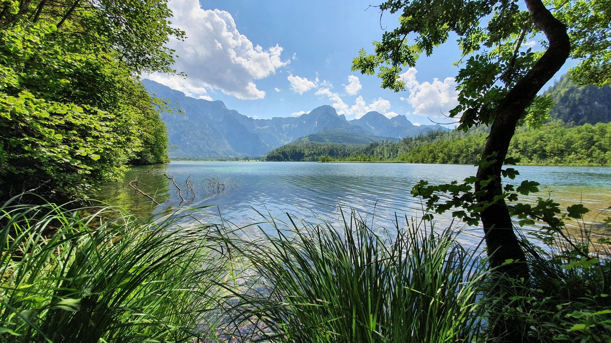
Voralpenweg 04 – From Vienna to Bad Reichenhall
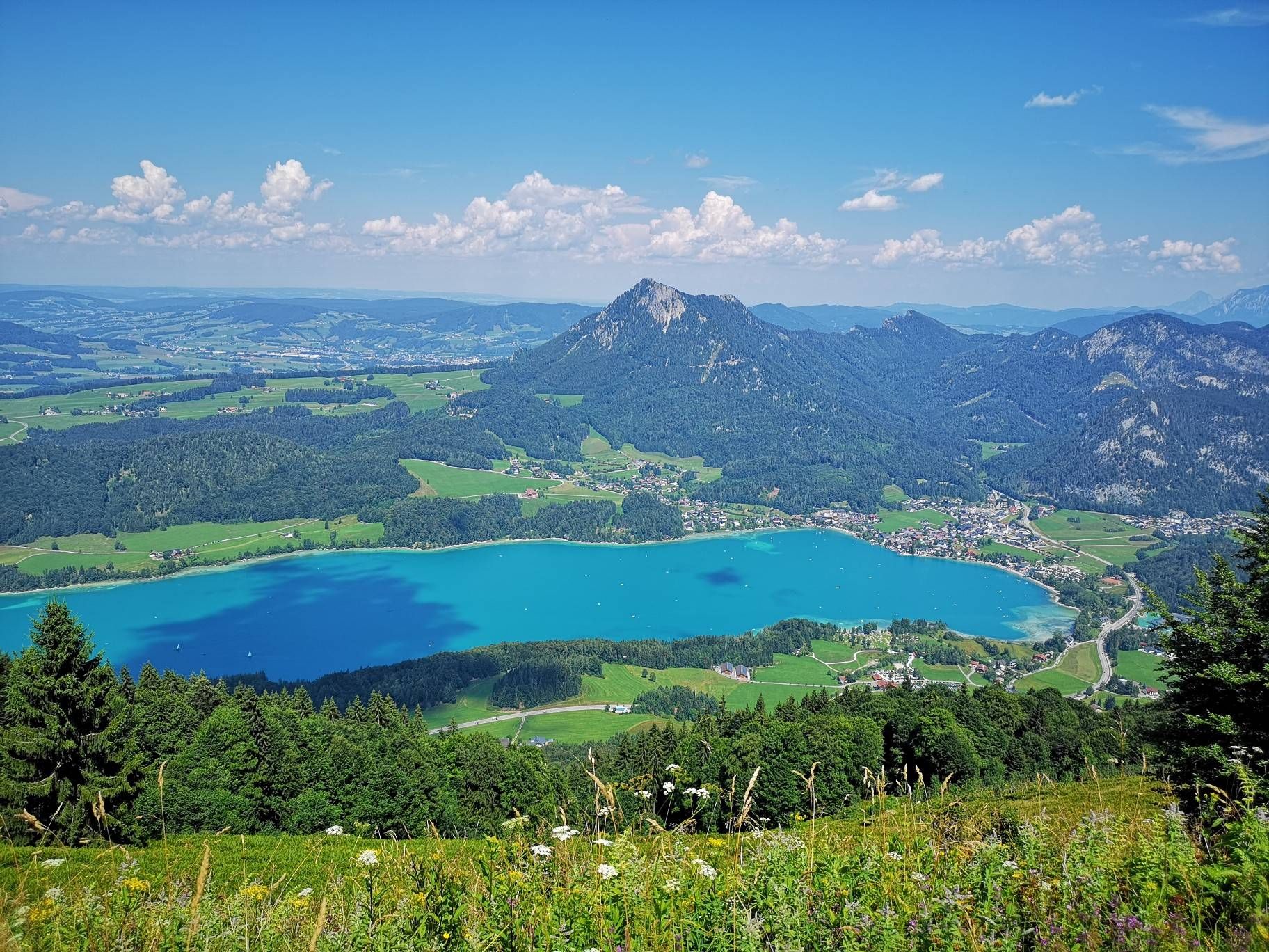
BergeSeen Trail – Long distance hiking in Austria's Salzkammergut with mountains and lakes galore
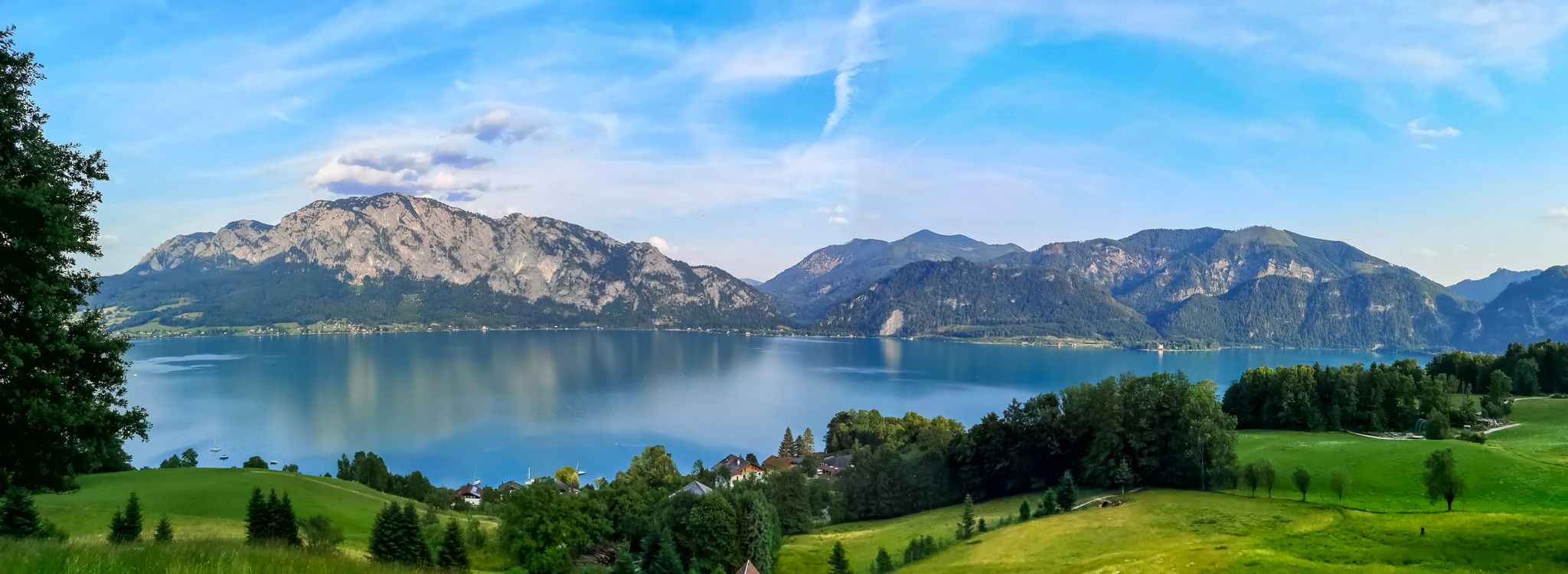
Attersee-Attergau — The long distance hiking trail once around
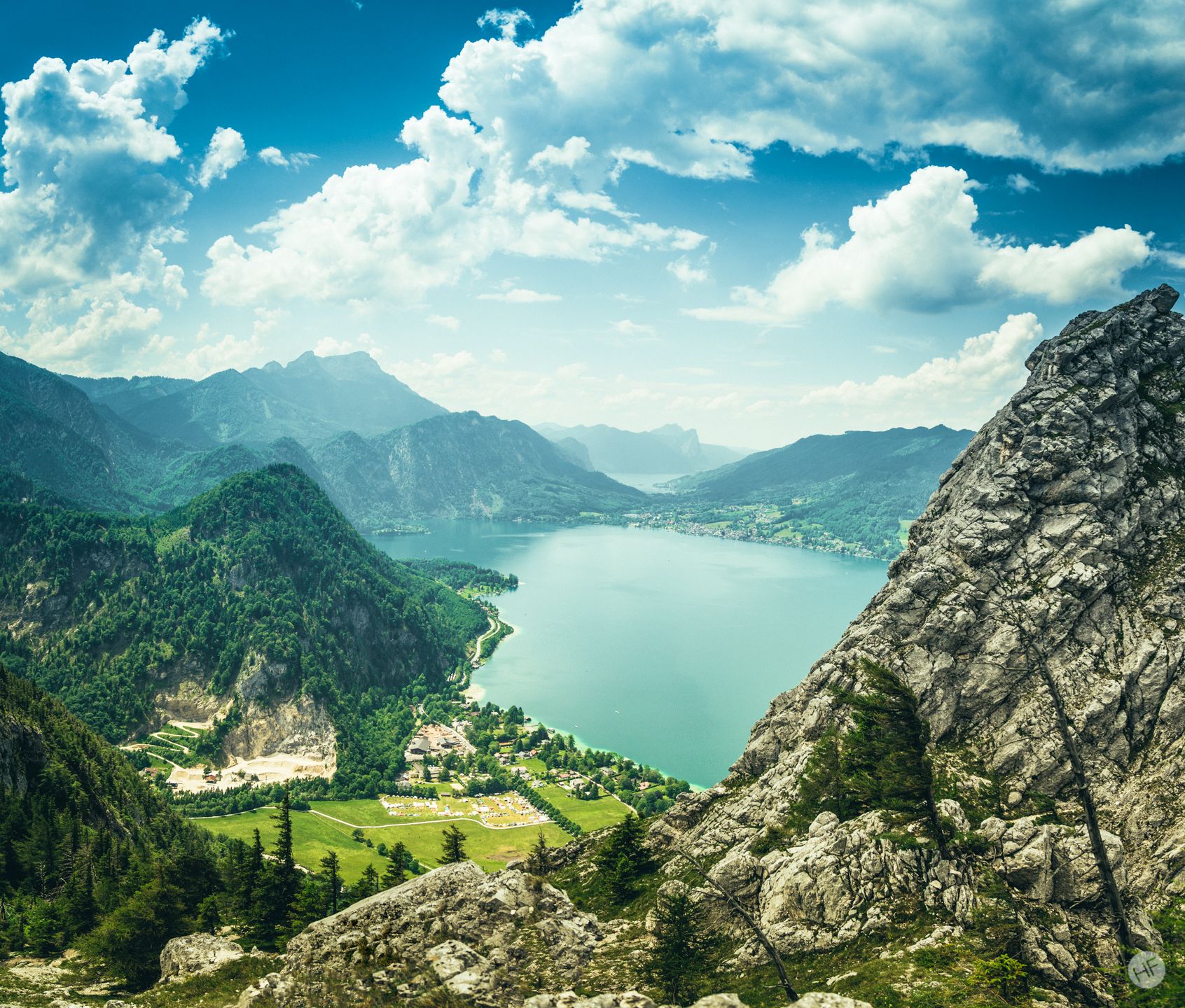
Around the Attersee – long-distance trails and the mountain hikes
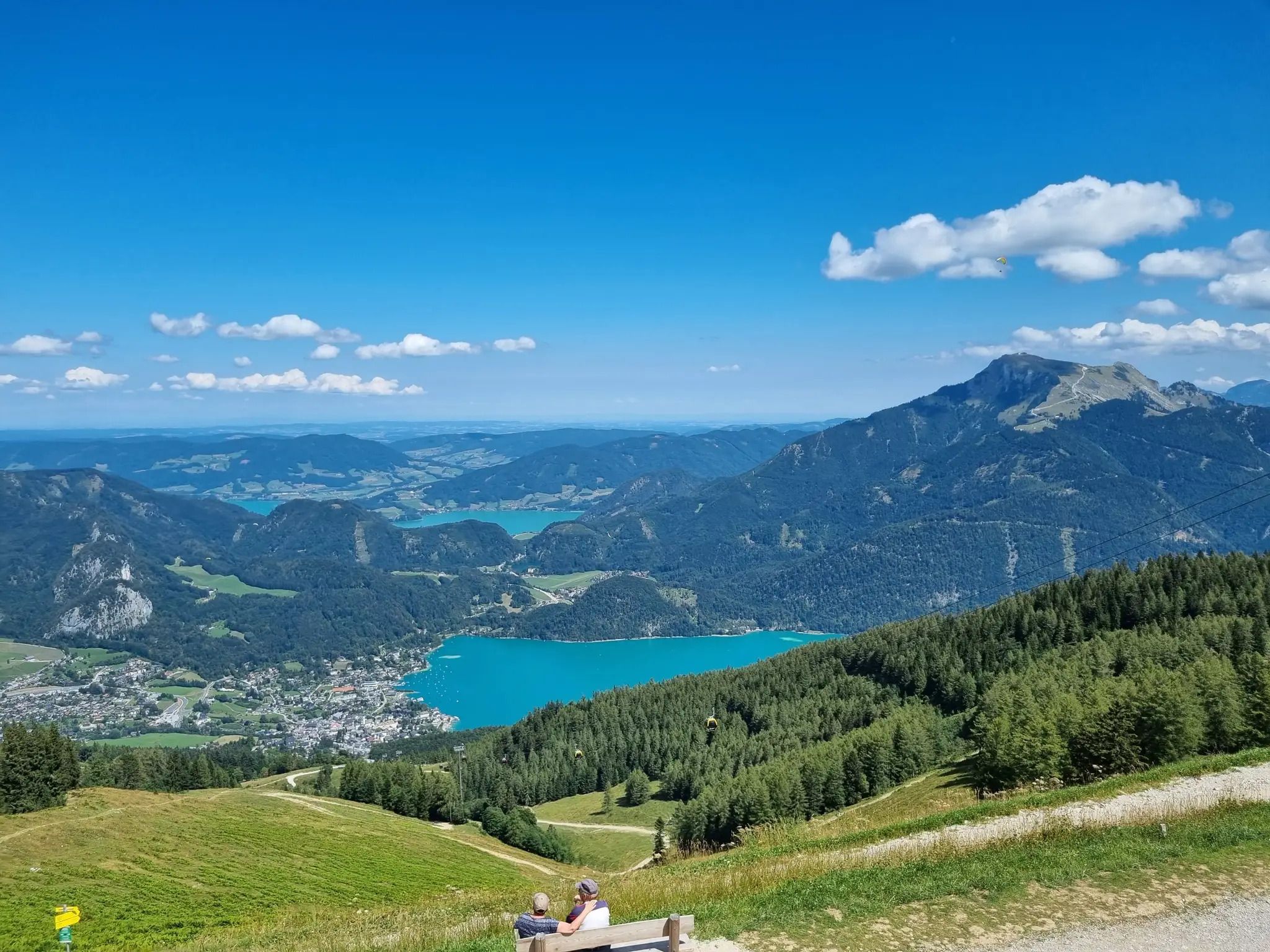
E-biking in the Salzkammergut in Austria on the BergeSeen eTrail
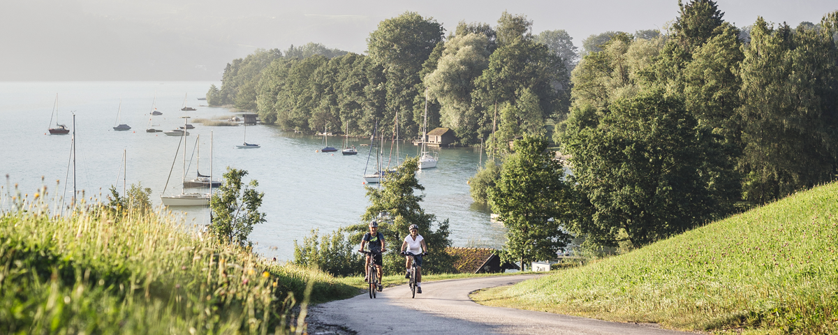
Stunning views and trails – six MTB loops around Attersee Lake
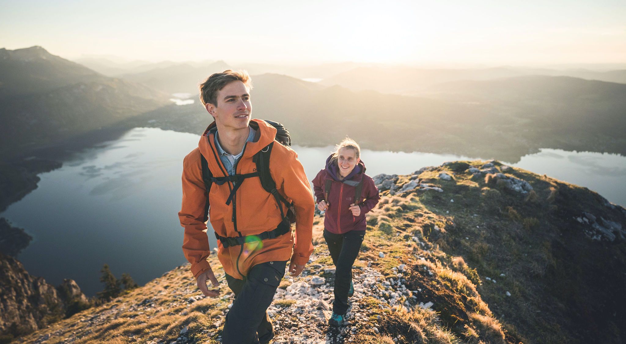
Discover Austria’s largest lake — day hikes around Lake Attersee
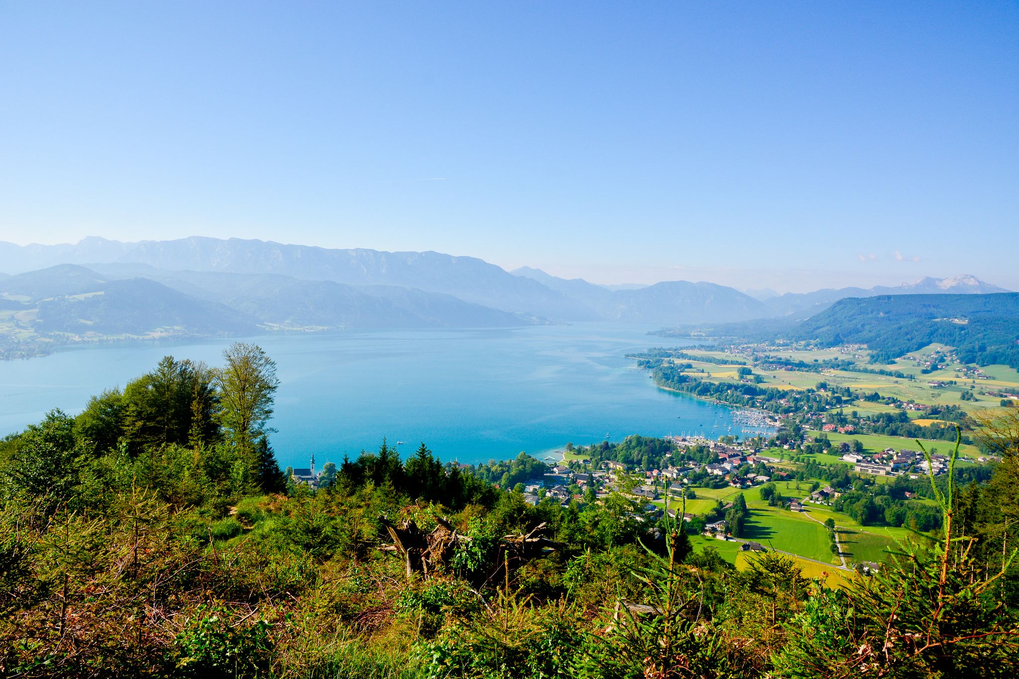
Far away from everyday stress – hikes around the Attersee
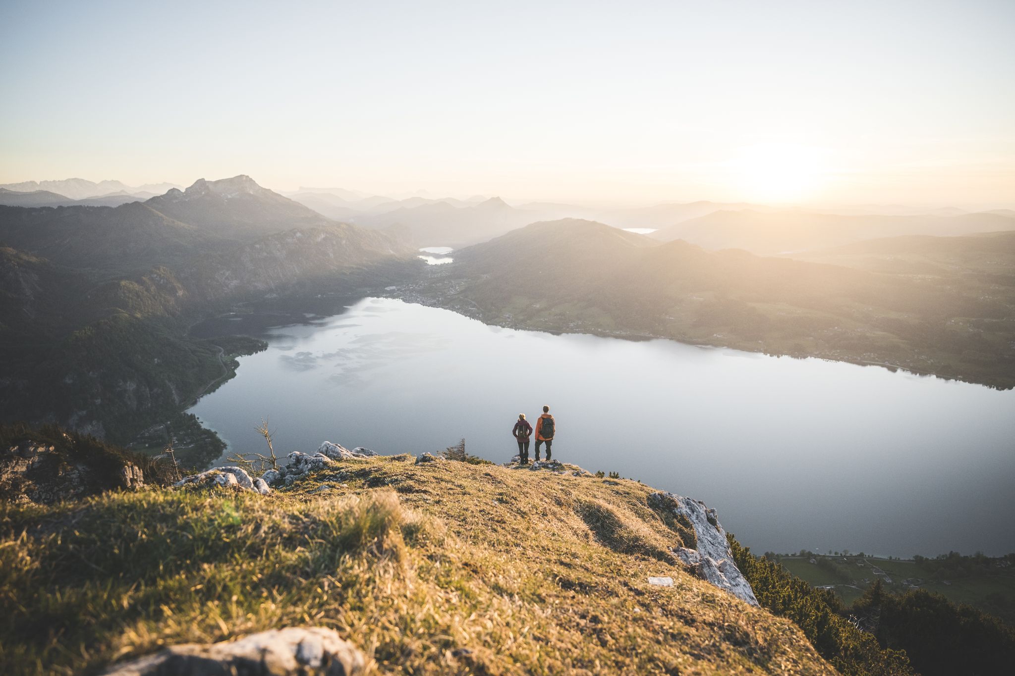
Explore the Salzkammergut on the BergeSeen Trail
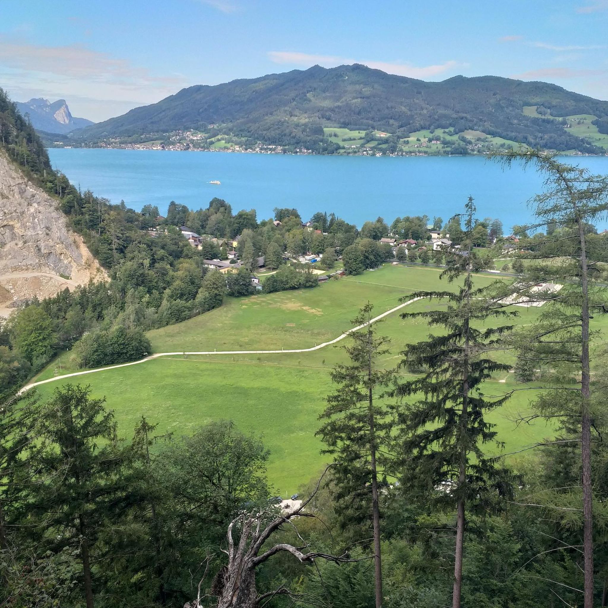
Hiking around Steinbach am Attersee
Other adventures around Steinbach am Attersee


Tips from the Community

Start the ascent early, otherwise there will be no space at the summit cross. Very popular. Parking available but payable. (4 - 6 €) Kleiner Schoberstein is no longer an officially marked or secured path. Rock is very crumbly and loose. No safety equipment, not without danger. Recommended only for very skilled/experienced mountaineers.
0
0


Unfortunately it is not the Wolfgangsee but still very beautiful
0
0

Near the infamous Black Bridge
0
0

From the hiking trail on the Mahdlschneid ridge you have a breathtaking view of Lake Attersee and the surrounding mountains.
1
0

One of several rest and seating areas on the way to Hochlecken. From here you can also see the Adlerspitze. The turnoff to the Adlerspitze is also here. However, climbing it is not suitable for everyone!
3
0

Take your time and enjoy the view.
1
0

Frequently Asked Questions
How many running routes are available in Steinbach am Attersee?
Steinbach am Attersee offers a wide selection of running routes, with over 30 trails available for various fitness levels. These range from gentle lakeside paths to more demanding mountain ascents.
What kind of terrain can I expect on running trails around Steinbach am Attersee?
The region boasts incredibly diverse terrain. You'll find clear lakeside paths along Lake Attersee, dense woodlands, open alpine meadows, and impressive limestone formations in the Höllengebirge mountains. This variety ensures a different experience for every run.
Are there easy running routes suitable for beginners or families?
Yes, there are several easy running routes perfect for beginners or families. These often follow the flatter lakeside paths, offering a relaxed experience with beautiful views. For example, parts of the Attersee Lakeside Cycle Path provide a gentle, scenic run.
Can I find challenging mountain runs in the Steinbach am Attersee area?
Absolutely. For those seeking a challenge, the Höllengebirge mountains provide trails with significant elevation gains and breathtaking panoramic views. Routes like Großer Schoberstein – Elke Bankerl loop from Weißenbach am Attersee offer a difficult mountain running experience with substantial climbs.
What natural attractions or landmarks can I see while jogging?
Many running routes offer stunning natural attractions. You can enjoy constant views of Lake Attersee, explore dense forests, and even discover the scenic Nixenfall waterfall on specific trails. The region's status as a Nature Park and Star Park also means you're surrounded by preserved natural beauty.
Are the running trails around Steinbach am Attersee dog-friendly?
While many trails in natural areas are generally accessible, it's always recommended to keep dogs on a leash, especially in designated nature protection zones or during wildlife breeding seasons. Always check local signage for specific regulations regarding dogs on trails.
Are there circular running routes available?
Yes, many of the running routes in Steinbach am Attersee are designed as loops, allowing you to start and finish at the same point. Examples include the popular Steinbachweg to Bramhosen loop and the Attersee Lakeside Cycle Path – Steinbach on Lake Attersee loop.
How accessible are the running routes by public transport or car?
Steinbach am Attersee is well-connected, making routes accessible. Many trailheads have nearby parking facilities. For public transport, local bus services connect the village to surrounding areas, allowing access to various starting points for your run.
What do other runners say about the trails in Steinbach am Attersee?
The running routes in Steinbach am Attersee are highly rated by the komoot community, with an average score of 4.8 stars from over 10 reviews. Runners often praise the diverse landscapes, from the clear lake shores to the dramatic mountain trails, and the well-maintained paths suitable for various ability levels.
Are there options for longer distance running?
Yes, for those looking for longer runs, routes like the Attersee Lakeside Cycle Path – Steinbach on Lake Attersee loop offer distances of over 15 kilometers. You can also combine shorter trails to create extended running experiences through the varied landscapes.
What's the best time of year to go running in Steinbach am Attersee?
Steinbach am Attersee is beautiful year-round. Spring and autumn offer pleasant temperatures and vibrant scenery, ideal for running. Summer is great for combining runs with a refreshing dip in Lake Attersee. Even in winter, some trails are accessible, offering a serene, snow-dusted landscape, though mountain routes may require more caution.
Can I find routes that pass by places to stop for refreshments?
Many routes, especially those closer to the village or along the lake, will pass by cafes, restaurants, or traditional inns where you can stop for refreshments. The region's cultural-natural blend means you can often find charming spots to refuel and enjoy local hospitality.
Most popular routes around Steinbach am Attersee
Most popular attractions around Steinbach am Attersee

Get inspired with the komoot mobile app


Explore more
Browse the best Running Trails & Routes in other regions.
