The best mountain hikes around Altmünster
4.6
(405)
6,269
hikers
11
hikes
Mountaineering routes around Altmünster are situated in the Salzkammergut region of Upper Austria, characterized by its diverse alpine landscape. The area features prominent peaks, dense forests, and clear mountain lakes, offering varied terrain for mountaineering. Elevations range significantly, with routes often involving substantial ascents and descents through rocky and forested areas. The region provides a mix of challenging climbs and moderate paths, catering to different skill levels.
Best mountaineering routes around Altmünster
- The most popular mountaineering route is Hochleckenhaus –…
Last updated: November 1, 2026
4.6
(37)
423
hikers
Hard mountaineering route. Very good fitness required. Sure-footedness, sturdy shoes and alpine experience required.
4.6
(14)
253
hikers
7.58km
04:21
800m
800m
Moderate mountaineering route. Good fitness required. Mostly walkable paths. Sure-footedness required.

4.7
(11)
217
hikers
Hard mountaineering route. Very good fitness required. Sure-footedness, sturdy shoes and alpine experience required.
4.7
(6)
93
hikers
15.9km
07:33
1,190m
1,190m
Hard mountaineering route. Very good fitness required. Sure-footedness, sturdy shoes and alpine experience required.
4.9
(8)
95
hikers
11.9km
07:03
1,300m
1,300m
Hard mountaineering route. Very good fitness required. Sure-footedness, sturdy shoes and alpine experience required.
Get access to more routes and recommendations from other explorers.
Already have an account?
Our route recommendations are based on thousands of hikes, rides, and runs completed by other people on komoot.
Start today with a free account
Your next adventure awaits.
Popular around Altmünster
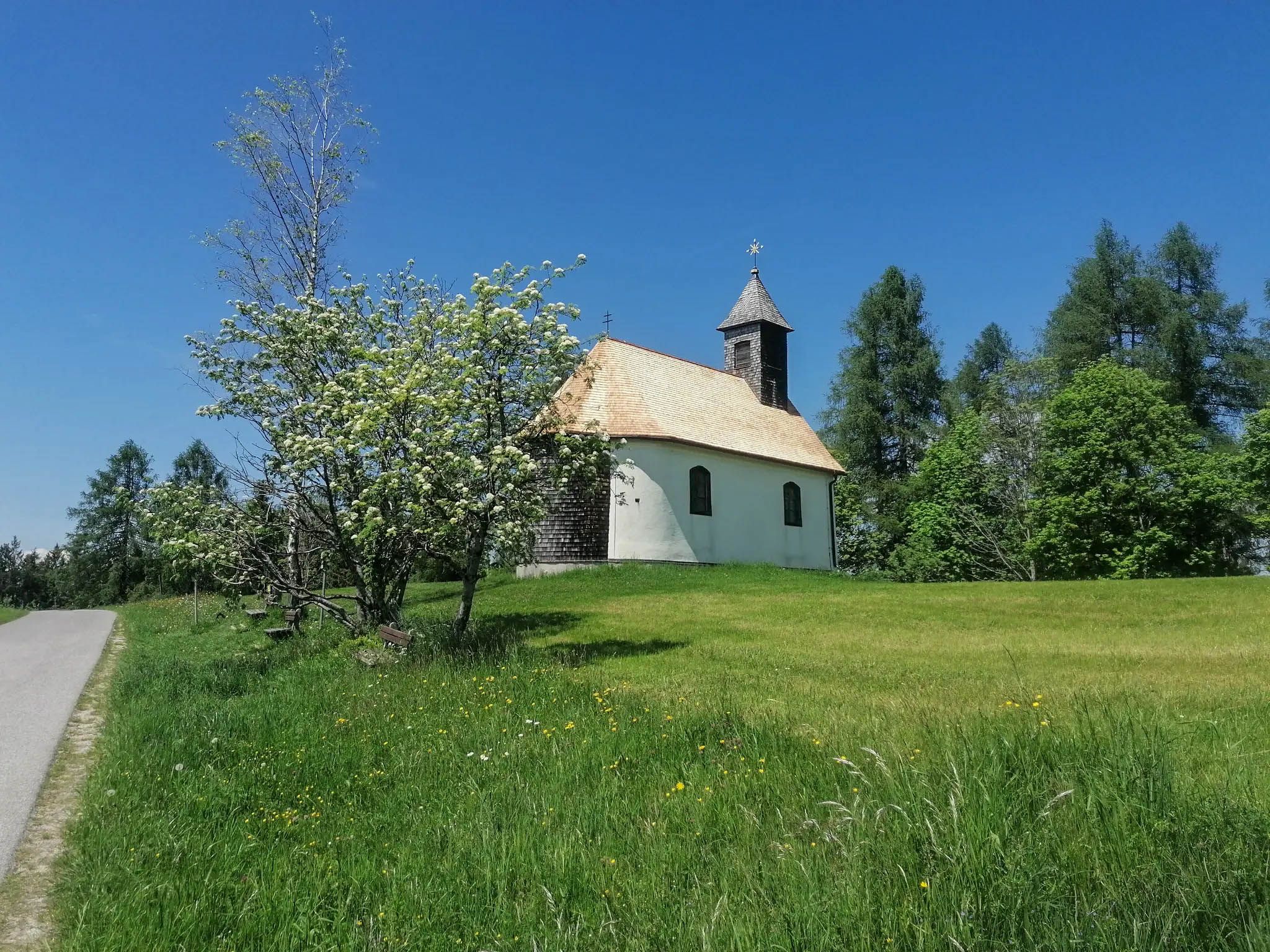
A spiritual loop between two Austrian lakes – Josefweg
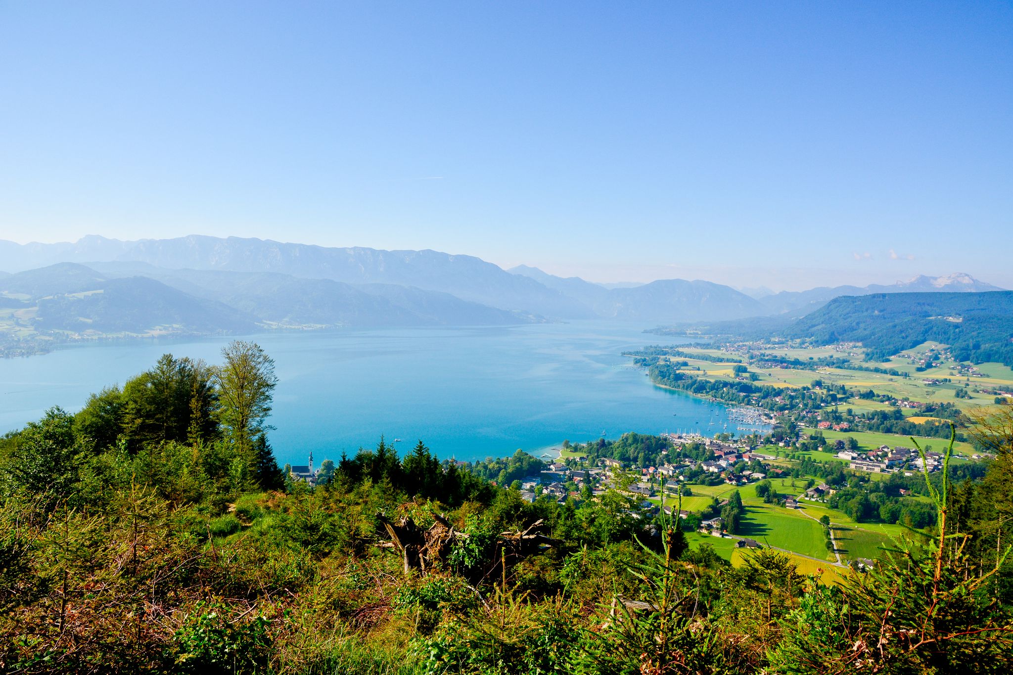
Far away from everyday stress – hikes around the Attersee
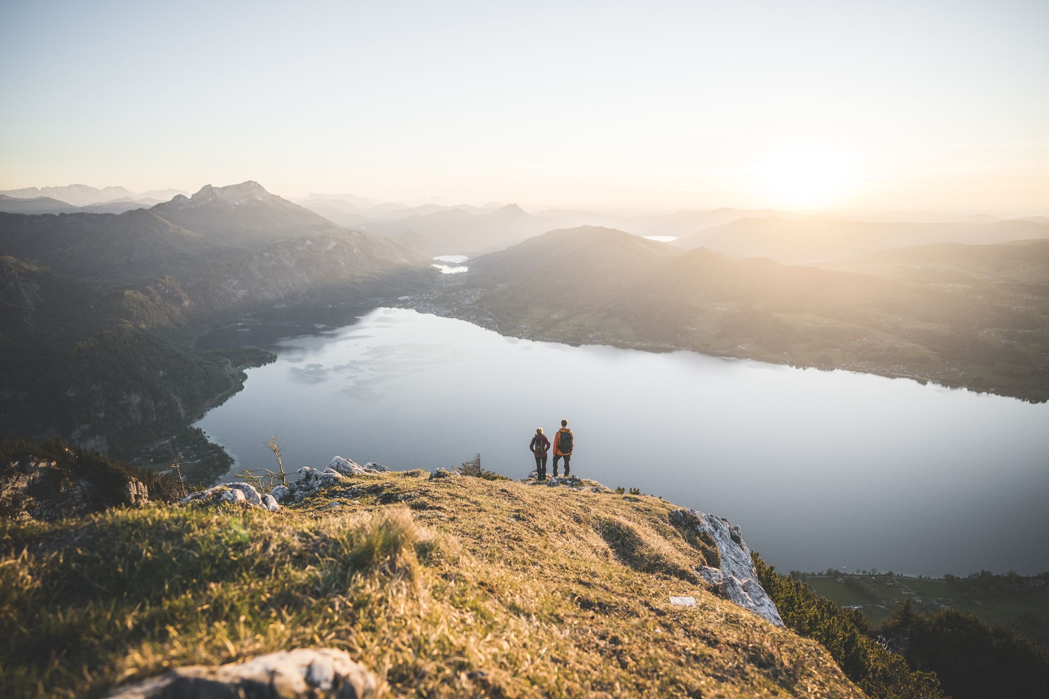
Explore the Salzkammergut on the BergeSeen Trail

Hiking around Altmünster

Cycling around Altmünster

MTB Trails around Altmünster

Running Trails around Altmünster

Road Cycling Routes around Altmünster

Gravel biking around Altmünster


Tips from the Community

Not really dangerous or particularly demanding
0
0

A fairly steep path with lots of roots, located directly on the slope. You should pay close attention here.
1
0

Mountain boots are a must to reach the summit.
0
0

Great view of Lake Mondsee, a little further away. There's also a cow pasture here.
0
0


Frequently Asked Questions
How many mountaineering routes are available around Altmünster?
There are 11 mountaineering routes around Altmünster, offering a variety of experiences for different skill levels. You'll find 4 moderate routes and 7 more challenging options.
Are there any moderate mountaineering routes suitable for beginners around Altmünster?
Yes, Altmünster offers several moderate mountaineering routes perfect for those looking for a less strenuous climb. One excellent option is the Vorderer Signalkogel – Vorderer Langbathsee loop from Hinterer Langbathsee, which covers 6.9 miles (11.1 km) with an elevation gain of about 520 meters.
Where can I find more challenging mountaineering routes in Altmünster?
For experienced mountaineers seeking a challenge, Altmünster has 7 difficult routes. Consider the Bischofsmütze (2451 m) – Hausenstein loop from Taferlklaussee, a demanding 6.7-mile (10.8 km) tour with over 1,280 meters of ascent, offering spectacular views.
Are there any circular mountaineering routes in Altmünster?
Many of the mountaineering routes around Altmünster are designed as loops, allowing you to start and end at the same point. For example, the Hochleckenhaus – Hochleckenhaus loop from Taferlklaussee is a popular 4.7-mile (7.5 km) circular trail.
What is the best season for mountaineering around Altmünster?
The best season for mountaineering in Altmünster is typically from late spring to early autumn (May to October). During these months, the weather is generally more stable, and trails are free of snow, making for safer and more enjoyable conditions. Always check local weather forecasts before heading out.
Are there any waterfalls or scenic viewpoints along the mountaineering routes?
Yes, the region around Altmünster is rich in natural beauty. You can find stunning waterfalls like the Waterfall at Taferlklaussee and the Rindbach Waterfall. For panoramic vistas, look for viewpoints such as the View of Vordere Langbathsee and Höllengebirge, which offer breathtaking alpine scenery.
What do other mountaineers enjoy most about the routes in Altmünster?
The mountaineering routes in Altmünster are highly rated by the komoot community, with an average score of 4.7 stars from over 300 reviews. Reviewers often praise the challenging ascents, the diverse forested slopes, and the rewarding panoramic summit views that define the region's trails.
Can I access the mountaineering routes around Altmünster using public transport?
While some trailheads might be accessible by local bus services, especially those starting from larger villages or lakesides, many mountaineering routes in the Salzkammergut region are best reached by car. It's advisable to check specific bus schedules for your chosen starting point, as services can be limited, particularly on weekends or during off-peak seasons.
Is parking available near the mountaineering trailheads in Altmünster?
Yes, parking is generally available at common starting points for mountaineering routes, such as Taferlklaussee or near the Langbathseen. These areas often have designated parking lots, though they can fill up quickly during peak season. Arriving early is recommended.
How long do mountaineering routes in Altmünster typically take to complete?
The duration of mountaineering routes in Altmünster varies significantly based on distance, elevation gain, and difficulty. For instance, a moderate route like the Hochleckenhaus – Hochleckenhaus loop can take around 4 hours 18 minutes, while more difficult and longer trails, such as the Hinterer Langbathsee – Brunnkogel Summit Cross loop, may require about 7 hours 31 minutes.
Are there any specific safety considerations for winter mountaineering in Altmünster?
Winter mountaineering in Altmünster, like any alpine region, requires careful planning and appropriate gear. Conditions can change rapidly, with risks of snow, ice, and avalanches. It is crucial to have experience with winter conditions, carry essential safety equipment (e.g., avalanche transceiver, probe, shovel), and consult local avalanche forecasts and trail conditions before attempting any winter ascent.
Most popular routes around Altmünster
Most popular attractions around Altmünster

Get inspired with the komoot mobile app


Explore more
Browse the best Mountain Hikes & Routes in other regions.
