The best running trails around Pfarrkirchen im Mühlkreis
4.6
(119)
1,673
runners
94
runs
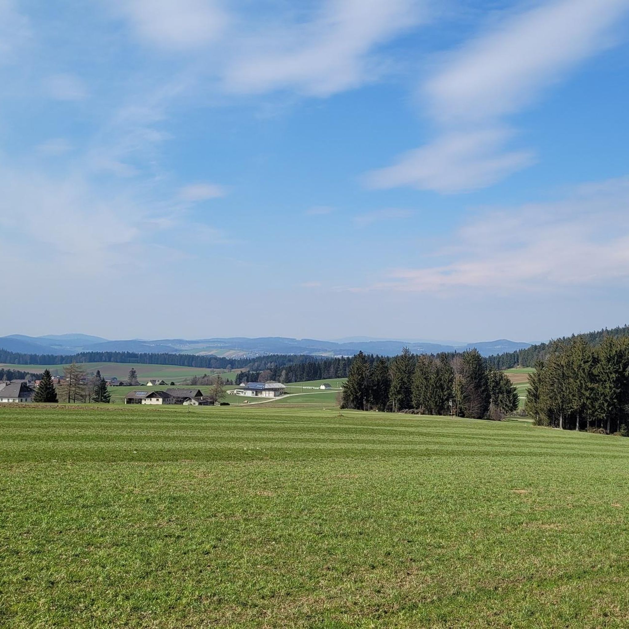
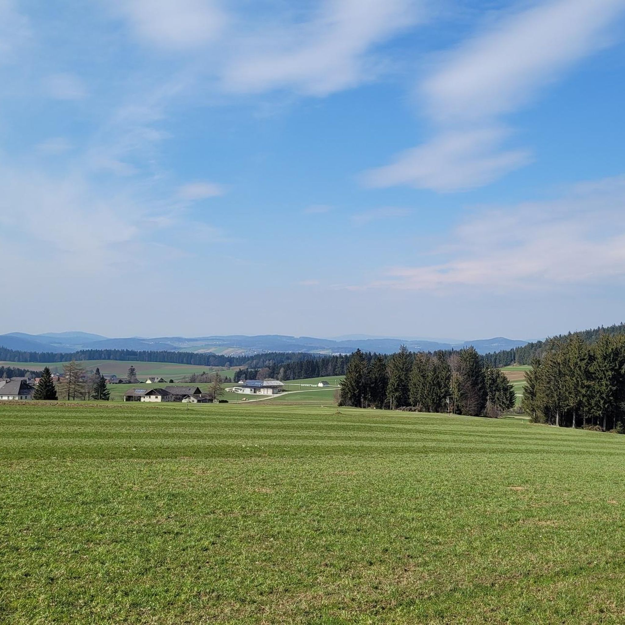
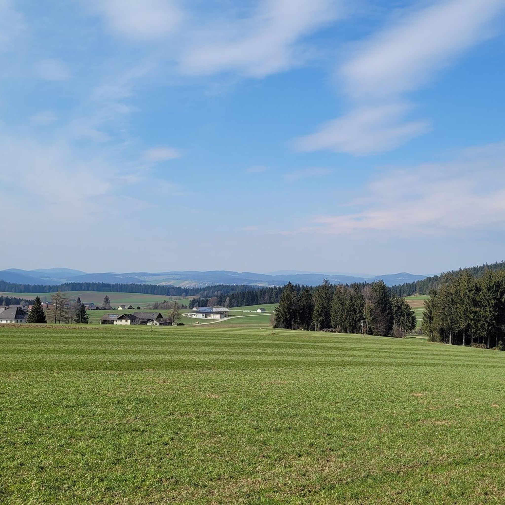
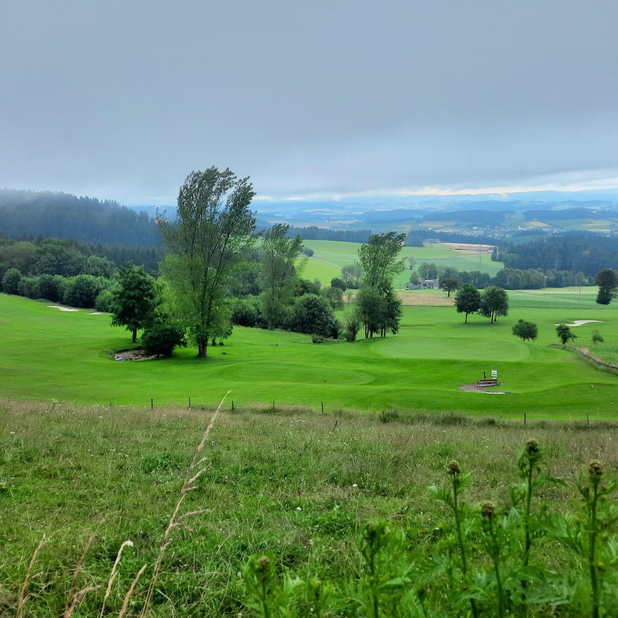
Jogging around Pfarrkirchen im Mühlkreis offers diverse terrain within the Mühlviertel region of Austria. The landscape is characterized by rolling hills and dense forests, providing varied routes with inclines and descents. From elevated points, panoramic views extend across the Northern Alpine range and the Bohemian Forest. This area provides a natural setting for runners seeking both challenging and scenic routes.
Best jogging routes around Pfarrkirchen im Mühlkreis
- The most popular jogging route is Willramsbach Stream – Fitness Trail Mühlviertel loop…
Last updated: October 5, 2026
5.0
(3)
88
runners
Moderate run. Good fitness required. Mostly paved surfaces. Suitable for all skill levels.
3.8
(13)
39
runners
Easy run. Great for any fitness level. Mostly paved surfaces. Suitable for all skill levels.

5.0
(2)
15
runners
5.37km
00:40
180m
180m
Moderate run. Good fitness required. Mostly paved surfaces. Suitable for all skill levels.
5.0
(1)
16
runners
5.37km
00:41
180m
170m
Moderate run. Good fitness required. Mostly paved surfaces. Suitable for all skill levels.
12
runners
Hard run. Very good fitness required. Mostly paved surfaces. Suitable for all skill levels.
Get access to more routes and recommendations from other explorers.
Already have an account?
Our route recommendations are based on thousands of hikes, rides, and runs completed by other people on komoot.
Start today with a free account
Your next adventure awaits.
Popular around Pfarrkirchen im Mühlkreis


Tips from the Community

The Rannastauseemauer can be crossed by car and on foot
0
0
beautiful tree-lined avenue, very inviting to the adjacent nursery
0
0
This old linden avenue by the castle is very handsome, but today it houses a florist who will surely fulfill every wish.
0
0

Part of the circular route is more suitable for mountain bikers. Not for those with weak knees. Otherwise, it's very rustic with lovely rest and viewpoints.
1
0

with a bell that you can operate yourself
1
0

A little above the hiking car park there is a bench... sit here, enjoy the peace and the view and simply
1
0

Well-marked hiking trail with tree stump chair.
1
0
Frequently Asked Questions
How many running routes are available in Pfarrkirchen im Mühlkreis?
There are over 90 running routes around Pfarrkirchen im Mühlkreis, offering a wide variety of options for different fitness levels and preferences. These include easy, moderate, and difficult trails through the picturesque Mühlviertel landscape.
What do other runners enjoy most about the trails in Pfarrkirchen im Mühlkreis?
The running trails in Pfarrkirchen im Mühlkreis are highly rated by the komoot community, with an average score of 4.5 stars from nearly 100 reviews. Over 1,500 runners have explored the area, often praising the diverse terrain, panoramic views, and the natural beauty of the rolling hills and dense forests.
Are there easy jogging routes suitable for beginners?
Yes, Pfarrkirchen im Mühlkreis offers several easy jogging routes perfect for beginners or those seeking a more relaxed run. An excellent option is the Fitness Trail Mühlviertel – Ranna Reservoir Dam loop from Rannatalsperre, an easy 2.4-mile (3.9 km) path that circles the Ranna Reservoir Dam, providing pleasant waterside scenery.
What kind of terrain can I expect on the running trails in this region?
The running trails around Pfarrkirchen im Mühlkreis are characterized by diverse terrain, including rolling hills and dense forests. You can expect a mix of inclines and descents, offering an engaging workout. Many paths wind through fields, meadows, and forest trails, with some routes providing expansive panoramic views across the Northern Alpine range and the Bohemian Forest.
Are there challenging running routes for experienced runners?
Absolutely. For experienced runners seeking a challenge, there are 13 difficult routes available. A notable option is the Fitness Trail Mühlviertel – Willramsbach Stream loop from Schloss Rannariedl, a 9.8-mile (15.8 km) trail with significant elevation changes, leading through the Willramsbach Stream valley.
Can I find circular running routes in the area?
Yes, many of the running routes in Pfarrkirchen im Mühlkreis are circular, allowing you to start and end at the same point. For example, the popular Willramsbach Stream – Fitness Trail Mühlviertel loop from Oberkappel is a 5.5-mile (8.9 km) circular trail following a fitness path alongside the Willramsbach Stream.
Are there scenic running routes with viewpoints?
Pfarrkirchen im Mühlkreis is renowned for its panoramic views, often referred to as the most panoramic spot in the Mühlviertel. Many routes offer breathtaking vistas from points like the "Platte" or "Himmelreich," stretching up to 300 kilometers on clear days. The Eidenberger Lusen Summit loop from Oberkappel is a great choice for scenic views.
What natural features or landmarks can I see while jogging?
While jogging, you can enjoy the natural beauty of the Mühlviertel, including rolling hills, dense forests, and the romantic Castle Pond with its circular trail. You might also encounter sections of the Donausteig, a long-distance hiking trail. For specific landmarks, consider routes near the Danube, where you can find highlights like the Schlögen Loop or the Jochenstein rock island with statue of Saint John of Nepomuk.
Are there options for combining running with other exercises?
Yes, Pfarrkirchen features an outdoor Movement Park (Bewegungsparcours) with 12 exercise machines. This freely accessible, LED-lit area includes a drinking water fountain, functioning like an open-air gym where you can incorporate strength or bodyweight exercises into your running routine.
What is the best time of year for running in Pfarrkirchen im Mühlkreis?
The Mühlviertel landscape offers beautiful scenery throughout the seasons. Spring brings blossoming plants and colorful flowers, while autumn transforms the forests with a fascinating display of golden leaves, making both seasons particularly rewarding for running. Summer is also excellent, though some routes might be more exposed to the sun.
Are there any cafes or places to rest near the running routes?
Yes, some routes pass by or are close to places where you can rest or grab refreshments. For instance, the Panorama Café Bauer – Rest area with wooden crucifix loop from Pfarrkirchen im Mühlkreis specifically mentions a café, providing an opportunity for a break during your run.
Are dogs allowed on the running trails?
Many trails in the Mühlviertel region are dog-friendly, allowing you to enjoy your run with your canine companion. However, it's always advisable to keep dogs on a leash, especially in nature reserves or areas with livestock, and to be mindful of local regulations.
Is public transport available to access the running trails?
While specific public transport connections directly to every trailhead might vary, Pfarrkirchen im Mühlkreis is generally accessible within the Mühlviertel region. For detailed information on bus routes and schedules to reach specific starting points, it's best to consult local public transport providers.
Most popular routes around Pfarrkirchen im Mühlkreis
Most popular attractions around Pfarrkirchen im Mühlkreis

Get inspired with the komoot mobile app


Explore more
Browse the best Running Trails & Routes in other regions.
