The best walks and hikes around Sutton
4.6
(601)
5,049
hikers
75
hikes
Hiking around Sutton offers a diverse landscape characterized by rolling hills, dense woodlands, and reservoirs. The region features a mix of terrain, from gentle paths alongside water bodies to more challenging ascents up local peaks. These varied natural features provide a range of outdoor experiences for different skill levels.
Best hiking trails around Sutton
- The most popular hiking route is Shutlingsloe Circular Walk, a 4.9 miles (7.9 km) trail that takes 2 hours 26 minutes to complete. This route offers panoramic views from Shutlingsloe hill.
- Another top favourite among local hikers is Shutlingsloe Walk, an easy 3.8 miles (6.0 km) path. This trail provides a direct ascent to the summit of Shutlingsloe, known for its distinctive conical shape.
- Local hikers also love the View over Macclesfield Forest – Shutlingsloe Summit loop from St. Stephen's Chapel, Macclesfield Forest, a 7.3 miles (11.7 km) trail leading through Macclesfield Forest and up to Shutlingsloe, often completed in about 3 hours 31 minutes.
- Hiking around Sutton is defined by its forested areas, local hills like Shutlingsloe, and scenic reservoirs. The network offers options for different ability levels, from easy strolls to moderate climbs.
- The routes in Sutton are highly rated by the komoot community with an average score of 4.6 stars from over 500 reviews. More than 4000 hikers have used komoot to explore Sutton's varied terrain.
Last updated: November 7, 2026
4.8
(33)
328
hikers
7.96km
02:26
290m
290m
4.6
(37)
296
hikers
6.04km
01:45
160m
160m

4.7
(81)
461
hikers
Moderate hike. Good fitness required. Easily walkable paths.
4.7
(20)
306
hikers
7.73km
02:14
190m
190m
Moderate hike. Good fitness required. Easily walkable paths.
5.0
(23)
223
hikers
Moderate hike. Good fitness required. Easily walkable paths.
Get access to more routes and recommendations from other explorers.
Already have an account?
Our route recommendations are based on thousands of hikes, rides, and runs completed by other people on komoot.
Start today with a free account
Your next adventure awaits.
Popular around Sutton
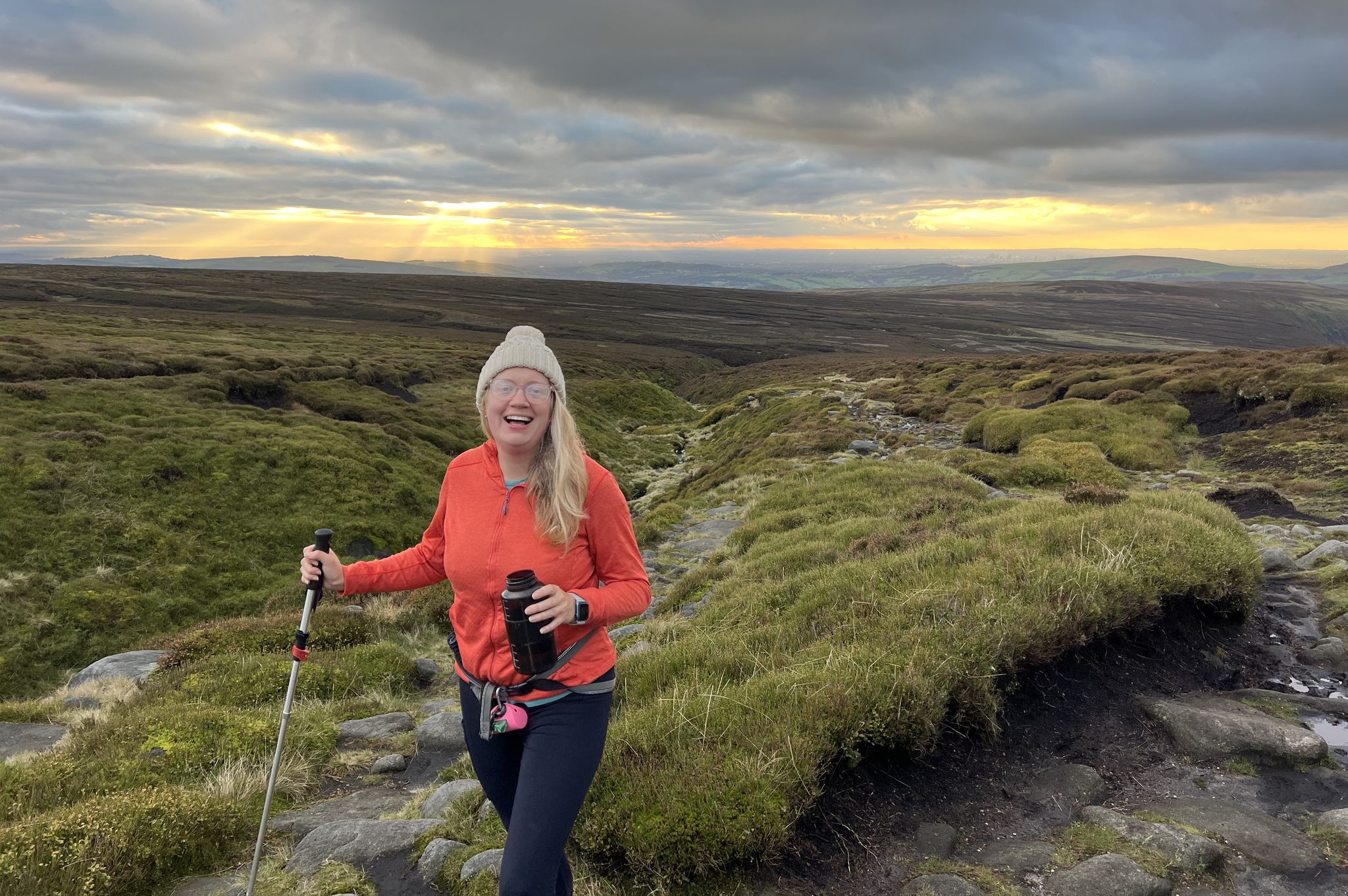
Peak District National Park – A Walk in the Parks
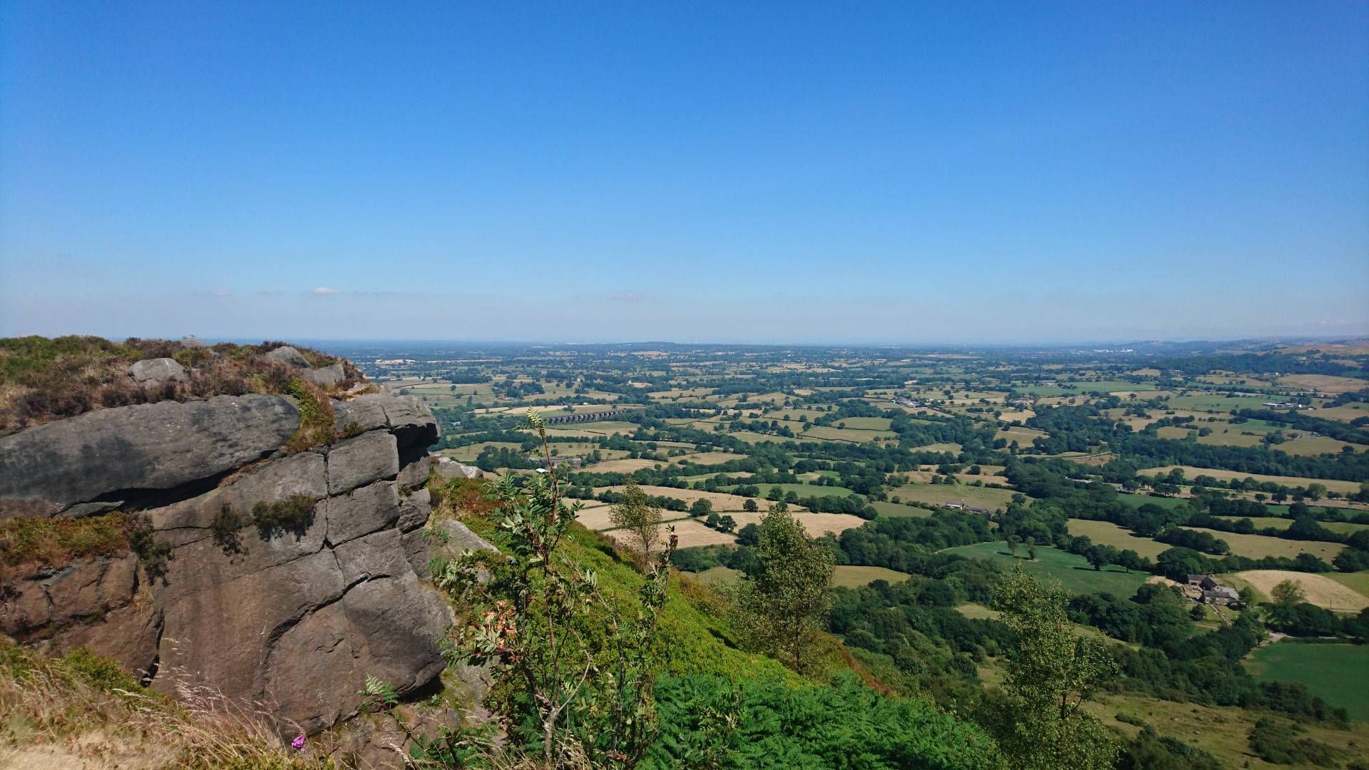
Gritstone Trail — A panoramic ridge hike through Cheshire's finest scenery
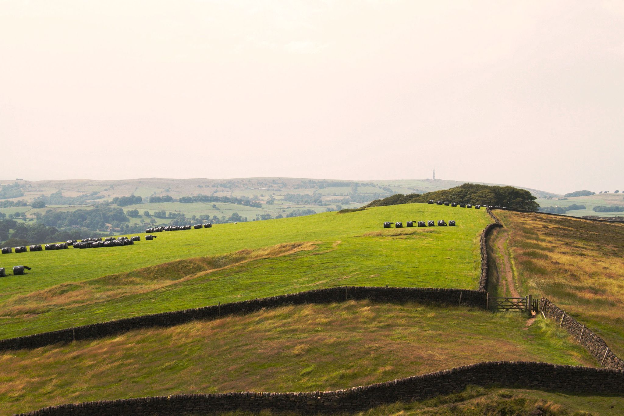
The Dark Peak — true northern grit in the Peak District

Road Cycling Routes around Sutton

Cycling around Sutton

MTB Trails around Sutton

Running Trails around Sutton

Gravel biking around Sutton

Mountain Hikes around Sutton
Other adventures around Sutton


Tips from the Community

Check opening times - closes at 3-6pm during the week!
0
0

Good selection of beers and great views
0
0

Path currently CLOSED, this section along the South Side of Ridgegate Reservoir and along the Dam wall (August 2025)
1
0

This beautiful resting spot on the banks of the babbling Clough Brook is the perfect place for a picnic after summiting Shutlingsloe. Hidden away from the crowds it is calm and tranquil hidden gem flanked by lush green foliage and rocks, you would be forgiven for feeling as if you were in a beautiful gorge miles away from anywhere!
0
0


Great pub that opens at 6.00PM. Serves food.
0
0

lovely spot to catch your breath and have a sit and enjoy the view over Trentabank
1
0
Frequently Asked Questions
How many hiking trails are available around Sutton?
There are over 70 hiking routes in the Sutton area, offering a diverse range of experiences from gentle strolls to more challenging ascents. The komoot community has explored these trails over 4000 times, highlighting their popularity.
Are there easy hiking trails suitable for beginners or families in Sutton?
Yes, Sutton offers a good selection of easy trails. Nearly half of the routes, 39 out of 78, are classified as easy. An example is the Shutlingsloe Walk, which is an easy 3.8-mile path providing a direct ascent to the summit of Shutlingsloe.
What kind of landscapes can I expect to see while hiking around Sutton?
Hiking around Sutton is characterized by rolling hills, dense woodlands, and scenic reservoirs. You'll encounter local peaks like Shutlingsloe, as well as forested areas such as Macclesfield Forest, offering varied terrain and beautiful views.
Are there any circular hiking routes in Sutton?
Yes, many routes in Sutton are circular, allowing you to start and end in the same location. A popular option is the Shutlingsloe Circular Walk, a 4.9-mile trail that offers panoramic views from Shutlingsloe hill.
What are some notable natural attractions or landmarks to see on hikes near Sutton?
The area around Sutton is rich in natural beauty. You can explore various lakes like Errwood Reservoir and Trentabank Reservoir. There are also unique natural monuments such as Lud's Church, a deep chasm, and the iconic Three Shires Head Stone Bridge and Waterfalls.
What do other hikers say about the trails in Sutton?
The hiking routes in Sutton are highly regarded by the komoot community, with an average rating of 4.6 out of 5 stars from over 500 reviews. Hikers often praise the diverse terrain, the well-marked paths, and the stunning views from local peaks like Shutlingsloe.
Are there any trails that offer views over Macclesfield Forest?
Absolutely. The View over Macclesfield Forest – Shutlingsloe Summit loop from St. Stephen's Chapel is a 7.3-mile trail that takes you through Macclesfield Forest and up to Shutlingsloe, providing expansive views of the forest and surrounding landscape.
Can I find trails that include reservoirs near Sutton?
Yes, several trails incorporate the region's reservoirs. For instance, the View over Macclesfield Forest – Trentabank Reservoir loop from Sutton is a moderate 7.6-mile hike that includes views of Trentabank Reservoir.
Are there any trails near Sutton that lead to Tegg's Nose?
Yes, you can find routes that explore the Tegg's Nose area. The Saddlers Way – Tegg's Nose Quarry loop from Sutton is an easy 3.3-mile trail that takes you through the quarry area of Tegg's Nose.
What is the typical duration for hikes in Sutton?
Hike durations vary widely depending on the route's length and difficulty. For example, an easy trail like the Shutlingsloe Walk can be completed in about 2 hours, while longer, moderate loops such as the View over Macclesfield Forest – Shutlingsloe Summit loop might take around 3.5 hours.
Are there any viewpoints or summits accessible on the trails?
Many trails in Sutton lead to excellent viewpoints and summits. Shutlingsloe is a prominent local peak known for its panoramic views. You can also find highlights like the Shining Tor trig point, offering elevated perspectives of the surrounding countryside.
Most popular routes around Sutton
Most popular attractions around Sutton

Get inspired with the komoot mobile app


Explore more
Browse the best Hikes in other regions.
