The best mountain hikes around Stummerberg
4.8
(152)
1,576
hikers
94
hikes
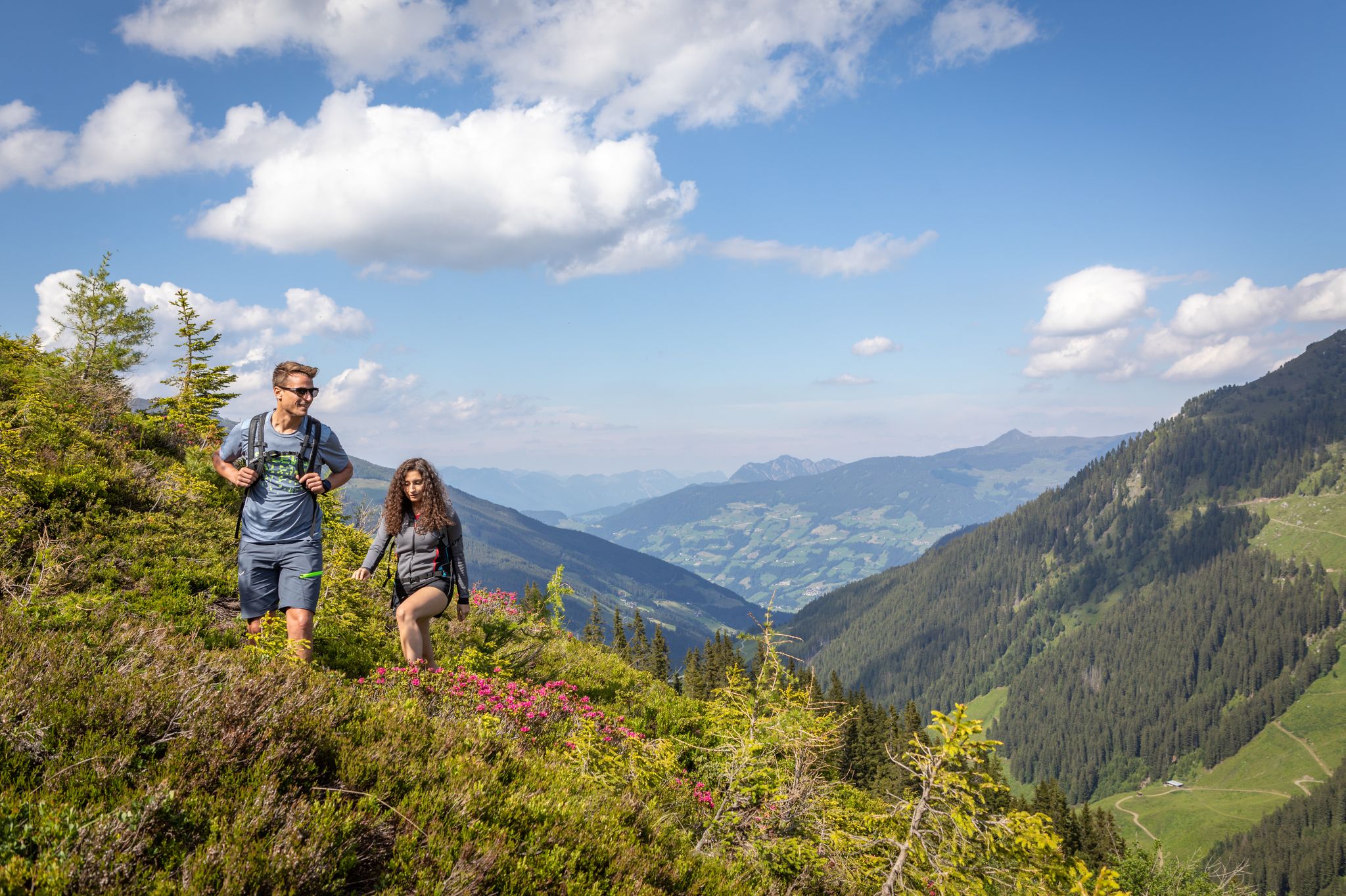
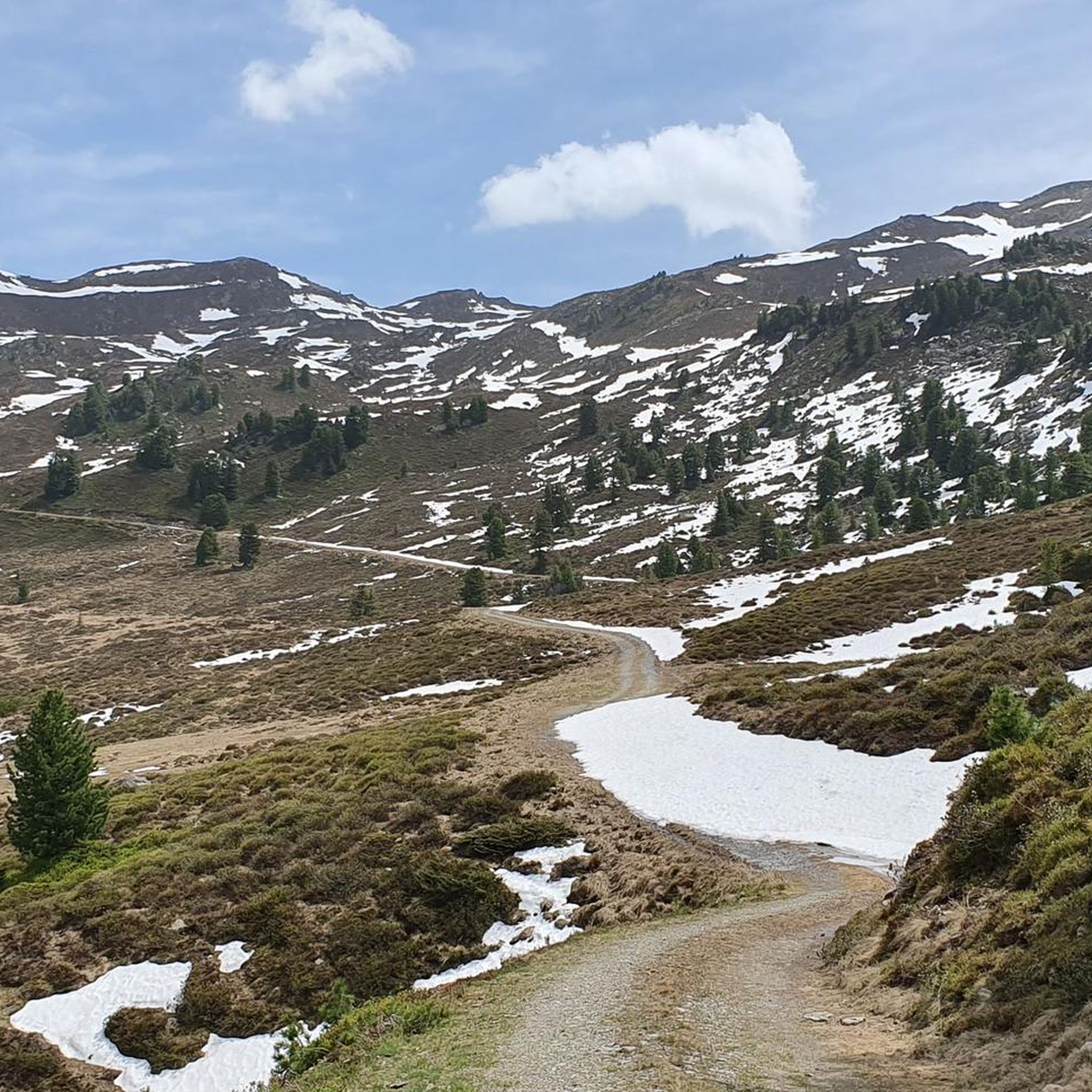
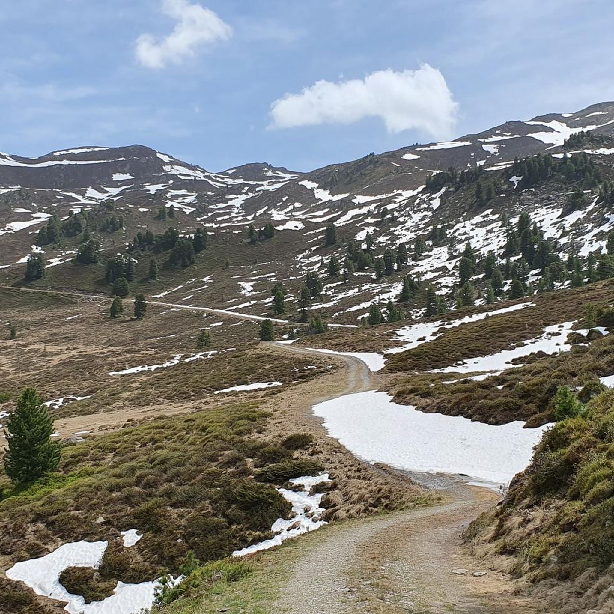
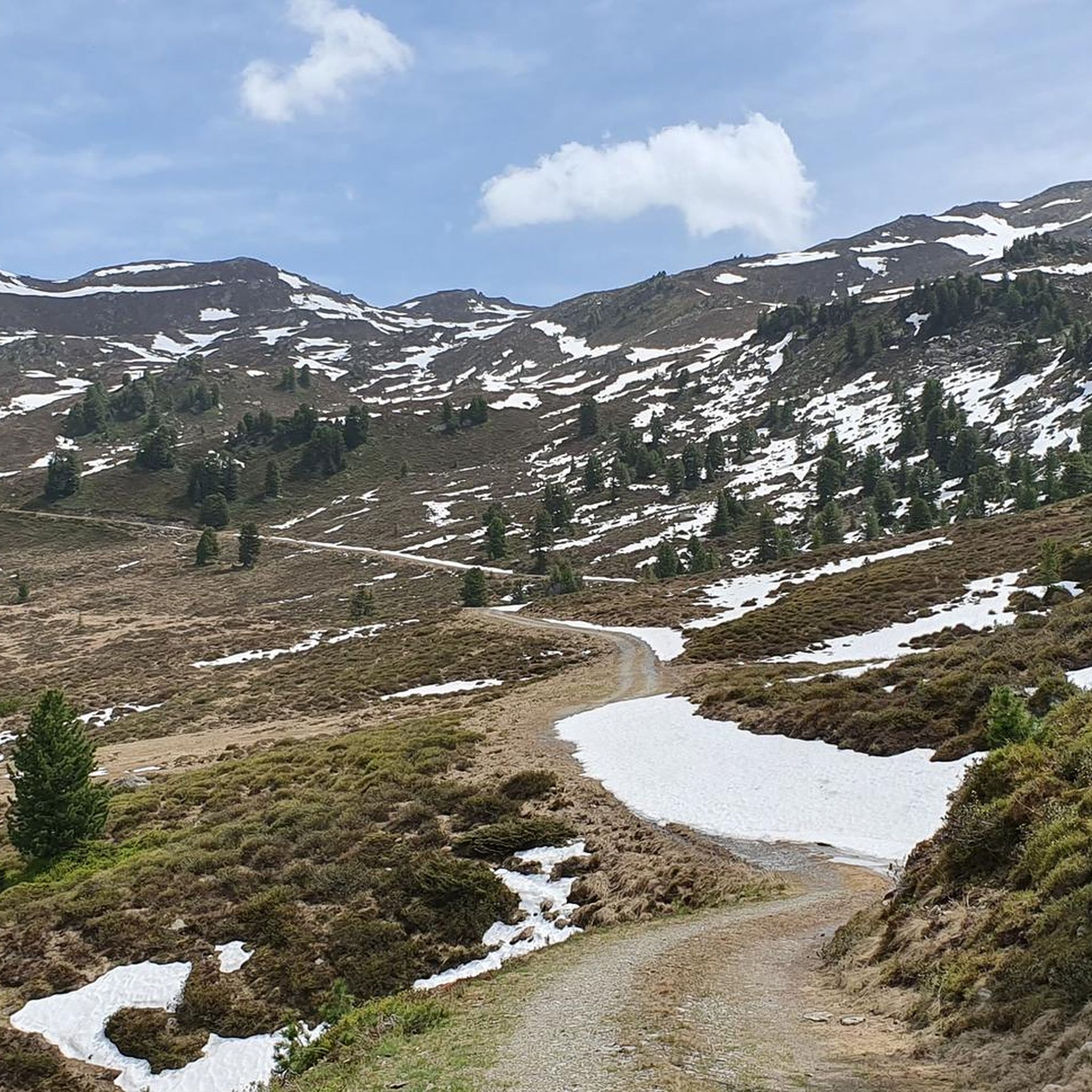
Mountaineering routes around Stummerberg are situated in the Zillertal region, characterized by its alpine landscape. The area features prominent peaks, forested slopes, and high-altitude terrain suitable for various mountaineering activities. Elevations in the region provide extensive views of the surrounding valleys and mountains. The trails often traverse open alpine meadows and rocky sections, offering diverse conditions for mountaineers.
Best mountaineering routes around Stummerberg
- The most popular mountaineering route is Steinberghütte – Hamberg Summit (2,095 m) loop from Inneröfen, a…
Last updated: September 27, 2026
36
hikers
11.4km
05:01
860m
860m
Hard mountaineering route. Very good fitness required. Mostly accessible paths. Sure-footedness required.
5.0
(1)
14
hikers
11.9km
03:57
590m
580m
Moderate mountaineering route. Good fitness required. Mostly accessible paths. Sure-footedness required.

5.0
(2)
16
hikers
13.8km
06:45
1,170m
1,170m
Hard mountaineering route. Very good fitness required. Sure-footedness, sturdy shoes and alpine experience required.
5.0
(2)
9
hikers
13.3km
06:34
1,130m
1,130m
Hard mountaineering route. Very good fitness required. Sure-footedness, sturdy shoes and alpine experience required.
8
hikers
11.3km
03:41
530m
530m
Moderate mountaineering route. Good fitness required. Easily-accessible paths. Suitable for all skill levels.
Get access to more routes and recommendations from other explorers.
Already have an account?
Our route recommendations are based on thousands of hikes, rides, and runs completed by other people on komoot.
Start today with a free account
Your next adventure awaits.
Other adventures around Stummerberg

Tips from the Community

The idyllically situated Fichtensee is a true paradise for families and those seeking relaxation. Here you will find scenic panoramic loungers, the unique adventure playground Fichtenschloss, and opportunities for boating or cooling off.
1
0

The summit is relatively easy to reach. In winter, the ski lift even goes just below the summit. In summer, you have to climb up from the mountain station.
1
0

The Spruce Castle on the Rosenalm is a paradise where children can let off steam with climbing, sliding, and crafting. Adults are also well catered for, making it an experience for the whole family.
6
0
The Fichtensee is not a natural lake, but rather a man-made body of water created at an altitude of 1,700 meters, a width of 95 meters, and a depth of 12 meters. The lake is a fun place for children and adults to swim in, and pedal boats, parasols, and loungers are available for rent for a fee. A wonderful bathing experience in the heart of the Zillertal Alps with a magnificent natural panorama.
7
0

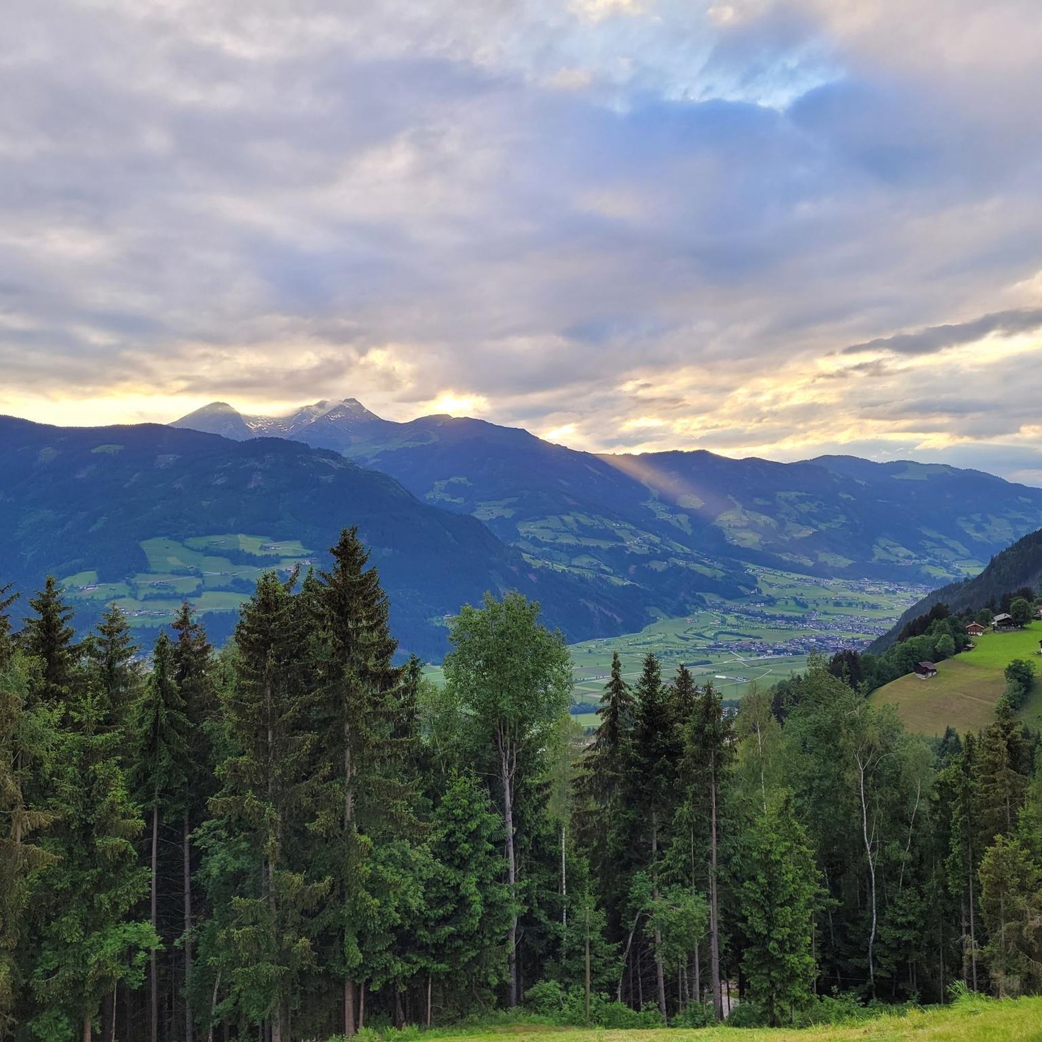
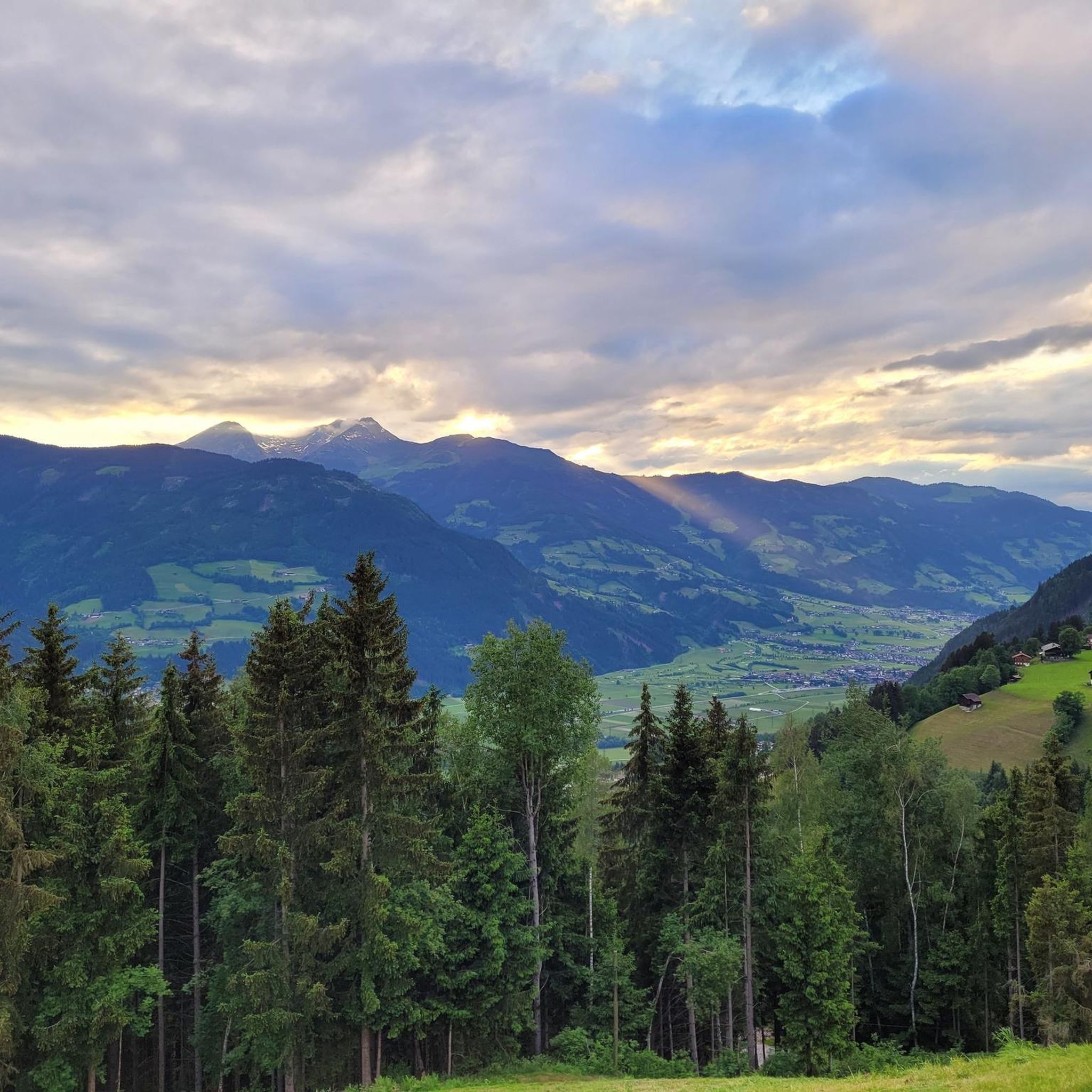
From here, you have a beautiful view of the mountains with their beautiful flower meadows and valleys in the Zillertal. A feast for the eyes for nature lovers and hikers.
11
0

You can never get enough of this view! It's wonderful, especially for holidaymakers.
2
0
Frequently Asked Questions
How many mountaineering routes are available around Stummerberg?
Stummerberg offers a wide selection of over 100 mountaineering routes. These trails vary significantly in difficulty, providing options for both moderate climbs and more challenging high-alpine expeditions.
Are there challenging mountaineering routes in Stummerberg?
Yes, Stummerberg is home to 57 challenging mountaineering routes. For an extensive high-alpine experience, consider the Hamberg Summit (2,095 m) – Standkopf (2,242 m) loop from Stummerberg, which connects two prominent peaks and typically takes about 6 hours 45 minutes to complete.
What are some good options for moderate mountaineering in the area?
There are 44 moderate mountaineering routes around Stummerberg. A popular choice is the View into the valley – Karspitze Summit loop from Kinderwagenparkplatz, which offers scenic views and takes around 3 hours 55 minutes to complete.
Are there any circular mountaineering routes in Stummerberg?
Yes, many mountaineering routes in Stummerberg are designed as loops, allowing you to return to your starting point without retracing your steps. An example is the Fichtenschloss Rosenalm – Legal Alm – Kreuzjochhütte loop from Kinderwagenparkplatz, a challenging 8.1-mile route.
What kind of views can I expect on mountaineering routes around Stummerberg?
Mountaineering routes in Stummerberg offer extensive panoramic views of the surrounding Zillertal valleys and mountains. Trails often traverse open alpine meadows and rocky sections, providing diverse vistas. Many routes lead to prominent peaks, ensuring breathtaking high-altitude perspectives.
What do other mountaineers enjoy most about Stummerberg?
The komoot community highly rates the mountaineering experience in Stummerberg, with an average score of 4.8 stars from over 170 reviews. Mountaineers often praise the varied alpine terrain, the stunning panoramic views from the summits, and the well-maintained trails that cater to different skill levels.
Are there any waterfalls or other natural attractions along the mountaineering routes?
While the mountaineering routes themselves focus on alpine ascents, the broader Stummerberg region is rich in natural attractions. You can find beautiful waterfalls nearby, such as the Harter Schleier Waterfall or the Talbach Waterfall, which can be explored separately or as part of other hikes in the area.
What is the best season for mountaineering in Stummerberg?
The best season for mountaineering in Stummerberg is typically from late spring to early autumn (June to September) when the weather is most stable, and the high-alpine trails are generally free of snow. Always check local weather forecasts and trail conditions before heading out, especially in shoulder seasons.
Are there any specific peaks I can aim to summit in the Stummerberg area?
Yes, the region offers several prominent peaks for mountaineers. Beyond the Hamberg and Standkopf, you can also explore summits like Spieljoch Summit (1920 m) or the Schatzberg Summit Cross, which provide rewarding views and challenging ascents.
Can I find less crowded mountaineering routes in Stummerberg?
While some popular routes can see more traffic, Stummerberg's extensive network of over 100 trails means you can often find quieter paths. Exploring routes slightly off the main tourist hubs or starting your hike early in the morning can help you enjoy a more solitary experience amidst the alpine landscape.
What should I wear for mountaineering in Stummerberg, especially in colder conditions?
For mountaineering in Stummerberg, especially at higher altitudes or in cooler weather, it's crucial to dress in layers. This includes moisture-wicking base layers, insulating mid-layers (fleece or down), and a waterproof and windproof outer shell. Sturdy hiking boots with good ankle support, gloves, a hat, and sun protection are also essential. Always pack extra layers as mountain weather can change rapidly.
Most popular routes around Stummerberg
Most popular attractions around Stummerberg

Get inspired with the komoot mobile app


Explore more
Browse the best Mountain Hikes & Routes in other regions.
