The best mountain hikes around Kaltenbach
4.8
(132)
1,245
hikers
63
hikes
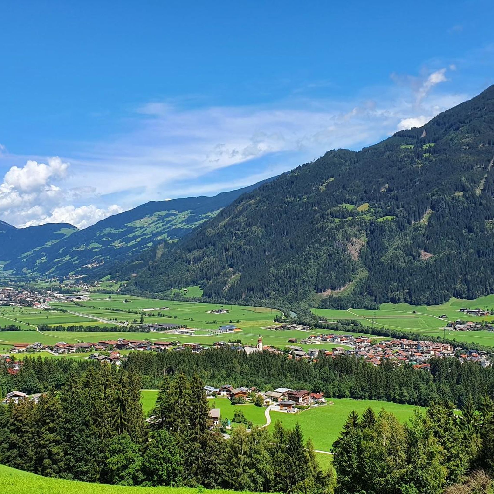
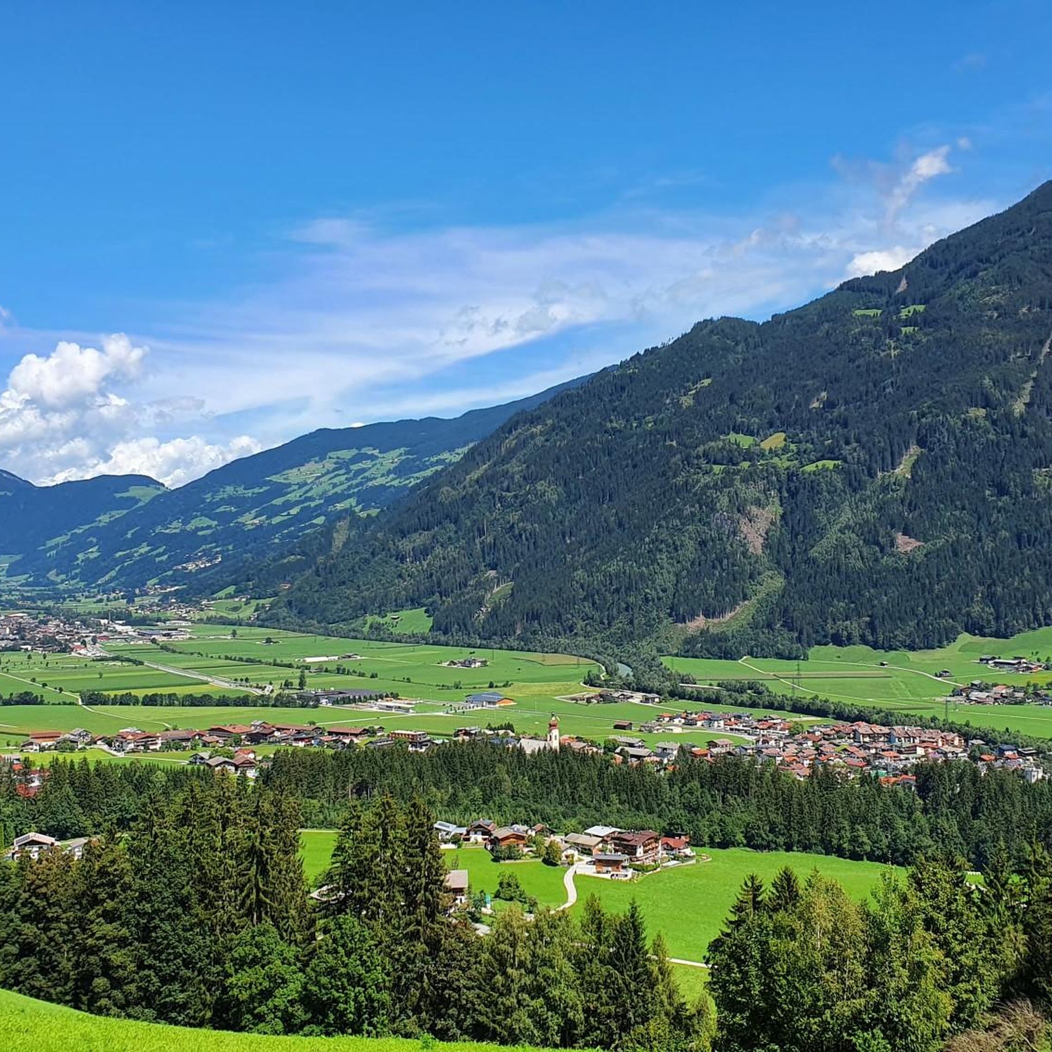
Mountaineering routes around Kaltenbach are situated within the Ziller Valley of Tyrol, Austria, characterized by the majestic Zillertal Alps and Tux Alps. This region features an impressive high-altitude landscape with sparkling mountain lakes and spectacular peaks, including the Zillertal Alps Nature Park and the Hohe Tauern National Park. The terrain includes dramatic features like the Kaltenbach Gorge, carved by the Kaltenbach stream, and offers access to various summits and alpine environments.
Best mountaineering routes around Kaltenbach
- The most popular mountaineering…
Last updated: September 27, 2026
4.5
(2)
45
hikers
17.9km
07:04
1,100m
1,100m
Hard mountaineering route. Very good fitness required. Mostly accessible paths. Sure-footedness required.
5.0
(1)
26
hikers
14.7km
06:07
1,000m
1,000m
Hard mountaineering route. Very good fitness required. Sure-footedness, sturdy shoes and alpine experience required.

5.0
(1)
35
hikers
14.4km
05:11
870m
870m
Hard mountaineering route. Very good fitness required. Mostly accessible paths. Sure-footedness required.
5.0
(1)
30
hikers
11.3km
04:15
750m
750m
Hard mountaineering route. Good fitness required. Sure-footedness, sturdy shoes and alpine experience required.
4.0
(2)
28
hikers
11.2km
04:06
630m
630m
Moderate mountaineering route. Good fitness required. Mostly accessible paths. Sure-footedness required.
Get access to more routes and recommendations from other explorers.
Already have an account?
Our route recommendations are based on thousands of hikes, rides, and runs completed by other people on komoot.
Start today with a free account
Your next adventure awaits.
Popular around Kaltenbach
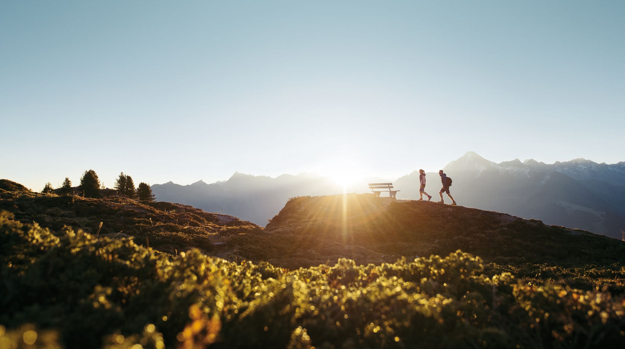
A peaceful haven in the mountains – hiking in Zillertal
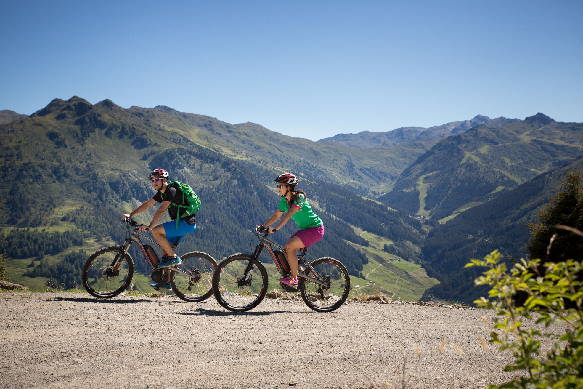
MTBing in Austria’s Zillertal Valley – explore the Fügen-Kaltenbach region
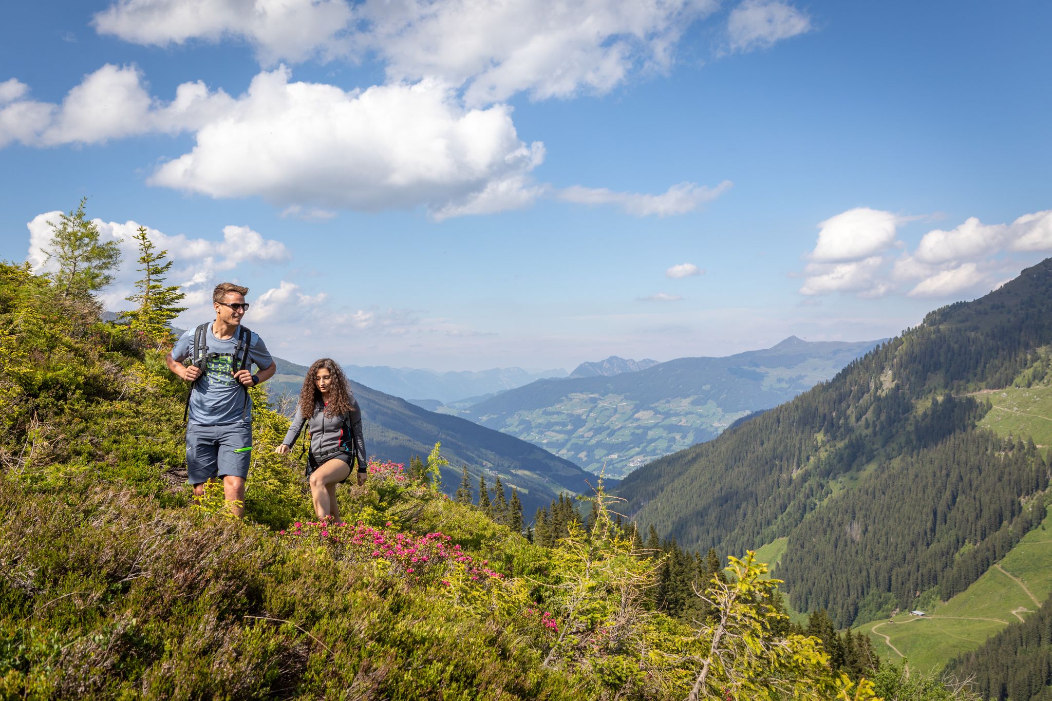
15 hikes in Austria’s Zillertal Valley – exploring the Fügen-Kaltenbach region
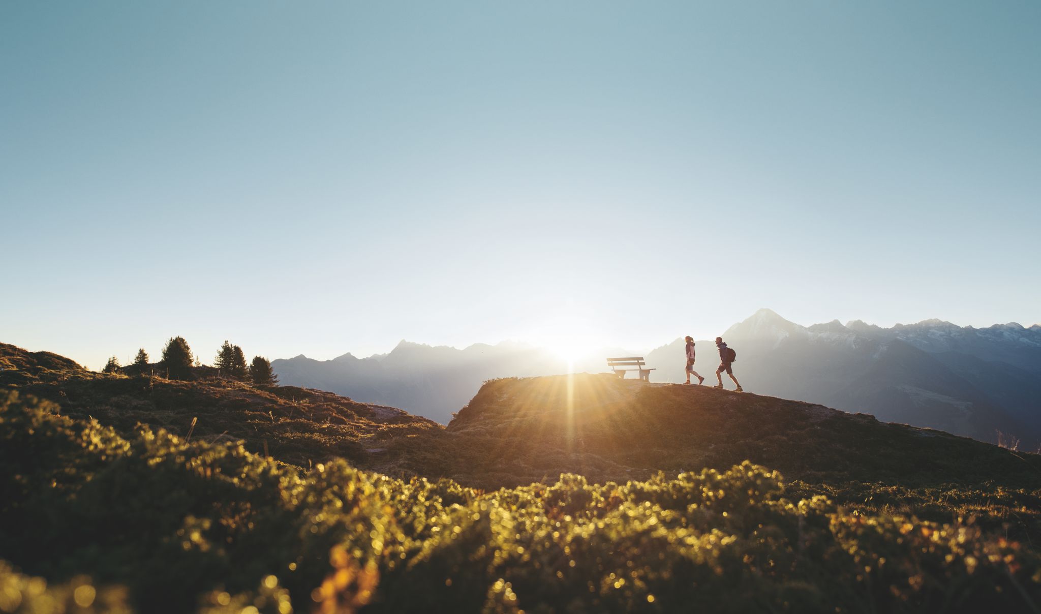
Discover the Zillertal Valley in Austria on eight varied walks
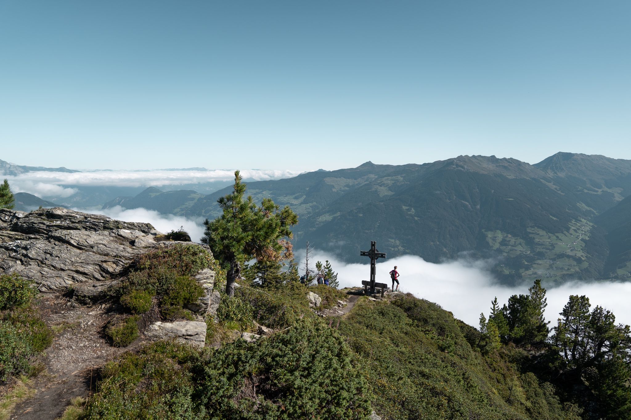
Aussichtsreiche Gipfelwandertouren im Zillertal
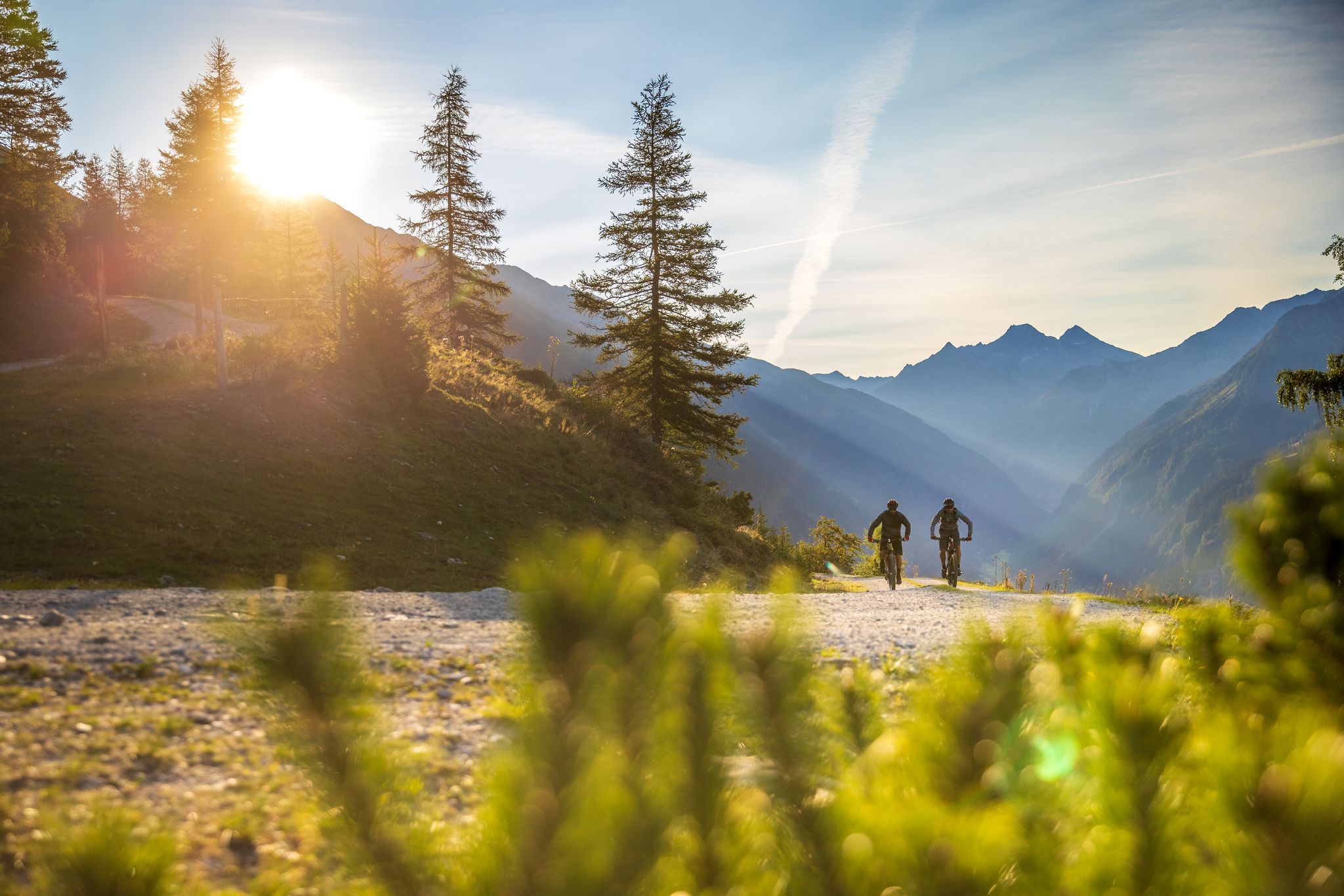
Bike & Hike im Zillertal
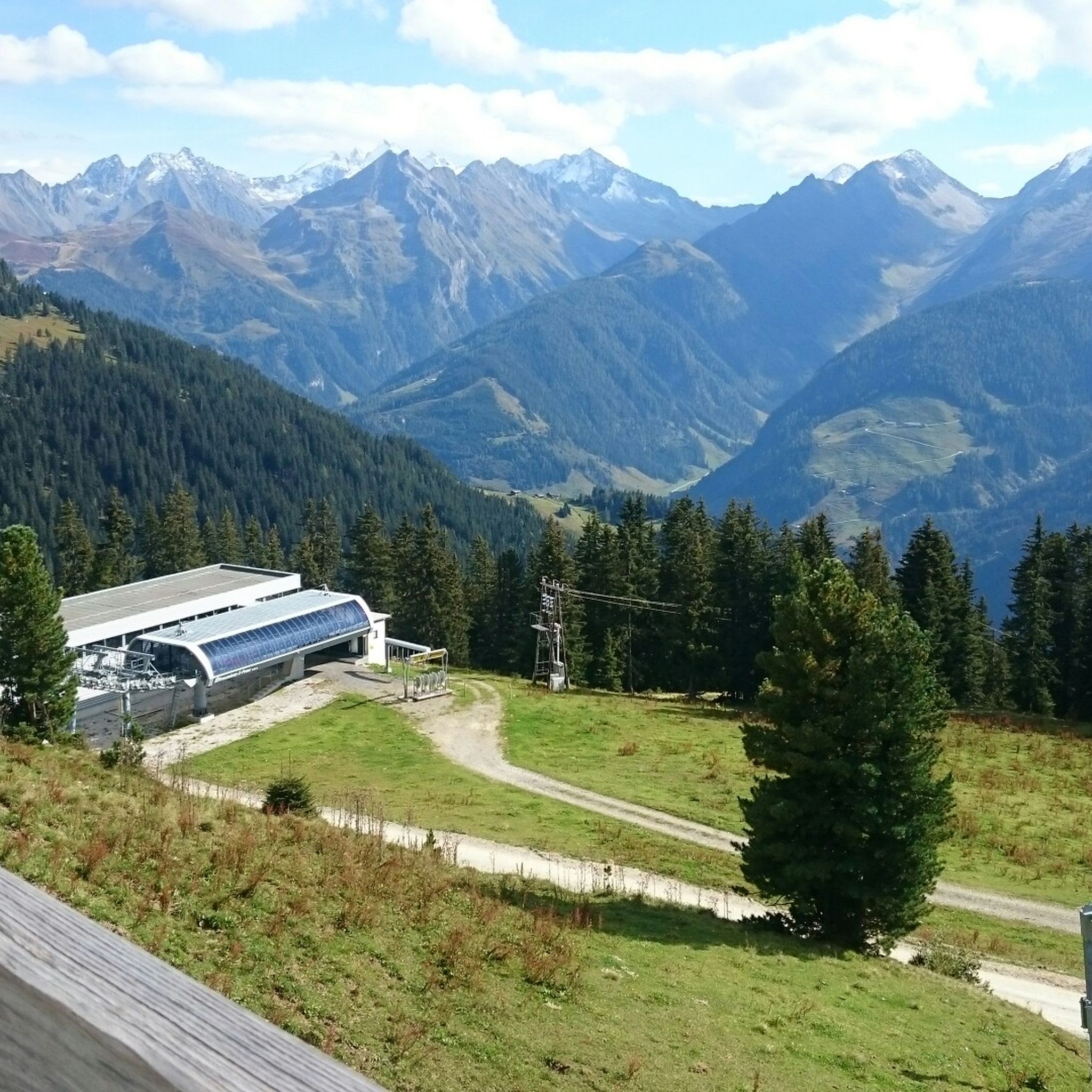
Hiking around Kaltenbach
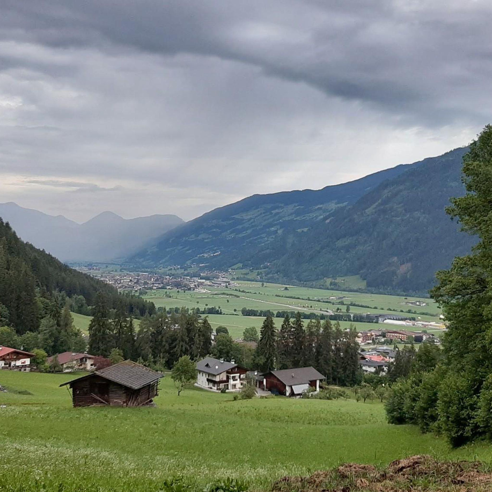
MTB Trails around Kaltenbach
Road Cycling Routes around Kaltenbach
Cycling around Kaltenbach
Other adventures around Kaltenbach


Tips from the Community


The absolute best, most meaningful saying I have ever read on a summit cross: "Doing nothing wrong is evil enough"
0
0
On the long ascent from Hochfügen, there are 9 peace symbols on the rocks. A special summit cross with lots of Christian peace symbols. 3 benches with the symbols of 3 religions each. Climbing-wise easy. Very far from Innerst
0
0
I ascended from Innerst. Soon after the forest road junction, I would go left into the terrain and over the long ridge to the summit. There are track marks on the summit slope.
0
0

You simply have to stop here for refreshments.
5
0

Here are old farm and stable for the cows or other animals. However, they are busy making a new farm and installing electricity and sewage.
0
0

Beautiful bridge over the Finsingbach.
15
0
The Pfundsalm-Niederleger is located at 1640m.
14
0
Frequently Asked Questions
How many mountaineering routes are available around Kaltenbach?
Kaltenbach offers a wide range of mountaineering opportunities, with over 70 routes documented on komoot. These routes cater to various skill levels, from moderate ascents to challenging high-alpine tours.
What kind of terrain can I expect on mountaineering routes in Kaltenbach?
The terrain around Kaltenbach is diverse, characterized by the majestic Zillertal and Tux Alps. You'll encounter impressive high-altitude landscapes, sparkling mountain lakes, and spectacular peaks. Dramatic features like the Kaltenbach Gorge, carved by the Kaltenbach stream, also define the area, offering a mix of alpine environments and rugged natural beauty.
Are there any family-friendly mountaineering options in Kaltenbach?
While many mountaineering routes are challenging, Kaltenbach and the wider Zillertal region offer options suitable for families. The area boasts 1,400 km of well-marked hiking trails, and several summer cable cars provide easy access to higher elevations, reducing the strenuousness of ascents. For a more relaxed experience, consider exploring the Zillertal Valley itself, which has gentler paths and attractions like Adventure Mountain Spieljoch with its 'First Zillertal Barefoot Trail' and children's climbing garden.
Which routes offer circular walks for mountaineers?
Many mountaineering routes in Kaltenbach are designed as loops, allowing you to start and finish at the same point. For a moderate circular tour, consider the Wedelhütte – Summit Cross Gedrechter loop from Bezirk Schwaz, which covers about 11.5 km. A more challenging option is the Marchkopf Summit – Kreuzjoch Summit Cross loop from Zellberg, a 15.3 km trail through the Zillertal Alps.
What are some notable natural features or landmarks to see along the mountaineering routes?
The region is rich in natural beauty. You can explore the dramatic Finsinggrund or the Gorge of the Bucher Bach. The Zillertal High Alpine Road itself offers breathtaking panoramic views. Further afield, the Schlegeis Reservoir with its famous suspension bridge, Nature's Ice Palace, and the Hintertux Glacier are significant attractions that showcase the region's unique alpine environment.
Are there any mountain huts or places for refreshments along the trails?
Yes, the Zillertal region is known for its welcoming mountain huts. Legendary huts like the Kristallhütte and Wedelhütte offer opportunities for refreshment and rest amidst the stunning mountain scenery. These huts often provide traditional Tyrolean cuisine and a chance to experience alpine hospitality.
What is the best time of year for mountaineering in Kaltenbach?
The best time for mountaineering in Kaltenbach is typically during the summer months, from June to September, when the trails are generally free of snow and the weather is most stable. However, conditions can vary at higher altitudes, so it's always advisable to check local weather forecasts and trail conditions before heading out.
Are there options for beginners looking to try mountaineering?
While many routes are rated moderate to difficult, there are options for beginners. The region offers 3 easy mountaineering routes, and the extensive network of well-marked hiking trails includes paths suitable for those new to alpine environments. Consider starting with shorter, less strenuous routes or utilizing the summer cable cars to access higher, flatter sections. Guided hikes with certified mountain guides are also available to provide expert advice and ensure a safe experience.
What do other mountaineers enjoy most about the routes in Kaltenbach?
The mountaineering routes in Kaltenbach are highly rated by the komoot community, with an average score of 4.8 stars from over 160 reviews. Reviewers often praise the stunning high-alpine scenery, the well-maintained trails, and the rewarding views from the summits. The diversity of routes, from challenging peaks to scenic loops, is also frequently highlighted.
Can I find routes that lead to prominent summits?
Absolutely. Kaltenbach is surrounded by impressive peaks offering rewarding climbs. For example, the Wedelhütte – Wimbachkopf Summit (2,442 m) loop from Zellberg is a challenging route that takes you to the Wimbachkopf Summit. Other notable peaks in the wider region, such as Rastkogel (2,750 meters) and Wiedersberger Horn, also offer expansive views of the Zillertal, Inntal, and Alpbachtal valleys.
Are there any moderate mountaineering routes available?
Yes, Kaltenbach offers a good selection of moderate mountaineering routes. Out of the 72 routes, 31 are classified as moderate. An example is the Summit Cross Gedrechter – Arbiskopf Summit Cross loop from Bezirk Schwaz, which is a 5.1 km route with a moderate difficulty rating, offering a rewarding experience without extreme demands.
What are the options for parking when accessing mountaineering trails?
Many trailheads in the Ziller Valley, including those around Kaltenbach, offer designated parking areas. For routes accessible via cable cars, parking is typically available at the valley stations. It's always recommended to check specific route descriptions or local tourist information for detailed parking facilities and any associated fees.
Most popular routes around Kaltenbach
Most popular attractions around Kaltenbach

Get inspired with the komoot mobile app


Explore more
Browse the best Mountain Hikes & Routes in other regions.
