The best mountain hikes around Schmirn
4.6
(342)
3,036
hikers
100
hikes
Mountaineering routes around Schmirn are situated in the Wipptal valley of North Tyrol, Austria, an alpine region known for its high peaks and deep valleys. The area is characterized by challenging alpine landscapes, including the prominent Olperer massif and other notable summits like Ultenspitze, Gammerspitze, and the Small Kaserer. Schmirn holds a designation as a mountaineering village, indicating its focus on alpine tourism and sustainable practices. The terrain features a network of trails leading through areas such as the Wildlahnertal and Kluppental valleys, offering varied ascents and panoramic views.
Best mountaineering routes around Schmirn
- The most popular mountaineering route is Mountaineering loop from St. Jodok am Brenner, a 3.3 miles (5.3 km) trail that takes 2 hours 15 minutes to complete. This difficult loop offers alpine challenges within the wider mountaineering village area.
- Another top favourite among local mountaineers is Schoberspitze loop from Schmirn, a difficult 6.0 miles (9.7 km) path. This route leads to the Western Schöberspitze, providing a challenging ascent through alpine terrain.
- Local mountaineers also love the Lizumer Reckner Summit Cross – Cliff Edge loop from Ladins, an 8.5 miles (13.6 km) trail leading through high alpine landscapes, often completed in about 7 hours 8 minutes.
- Mountaineering around Schmirn is defined by high alpine peaks, deep valleys, and challenging ascents. The network offers options for various skill levels, from demanding summit routes to multi-day hut-to-hut excursions.
- The routes in Schmirn are highly rated by the komoot community with an average score of 4.6 stars from over 360 reviews. More than 3300 mountaineers have used komoot to explore Schmirn's varied terrain.
Last updated: July 21, 2026
4.8
(5)
33
hikers
2.47km
01:25
250m
250m
Hard mountaineering route. Great for any fitness level. Sure-footedness, sturdy shoes and alpine experience required.
20
hikers
9.72km
04:31
980m
980m
Hard mountaineering route. Very good fitness required. Mostly accessible paths. Sure-footedness required.

Sign up for free
14
hikers
8.69km
04:21
990m
990m
Hard mountaineering route. Very good fitness required. Mostly accessible paths. Sure-footedness required.
5.0
(1)
14
hikers
13.7km
07:23
1,310m
1,310m
Hard mountaineering route. Very good fitness required. Sure-footedness, sturdy shoes and alpine experience required.
4.7
(3)
9
hikers
18.5km
06:21
920m
920m
Hard mountaineering route. Very good fitness required. Mostly accessible paths. Sure-footedness required.
Get access to more routes and recommendations from other explorers.
Sign up for free
Already have an account?
Our route recommendations are based on thousands of hikes, rides, and runs completed by other people on komoot.
Start today with a free account
Your next adventure awaits.
Login or Signup
Popular around Schmirn
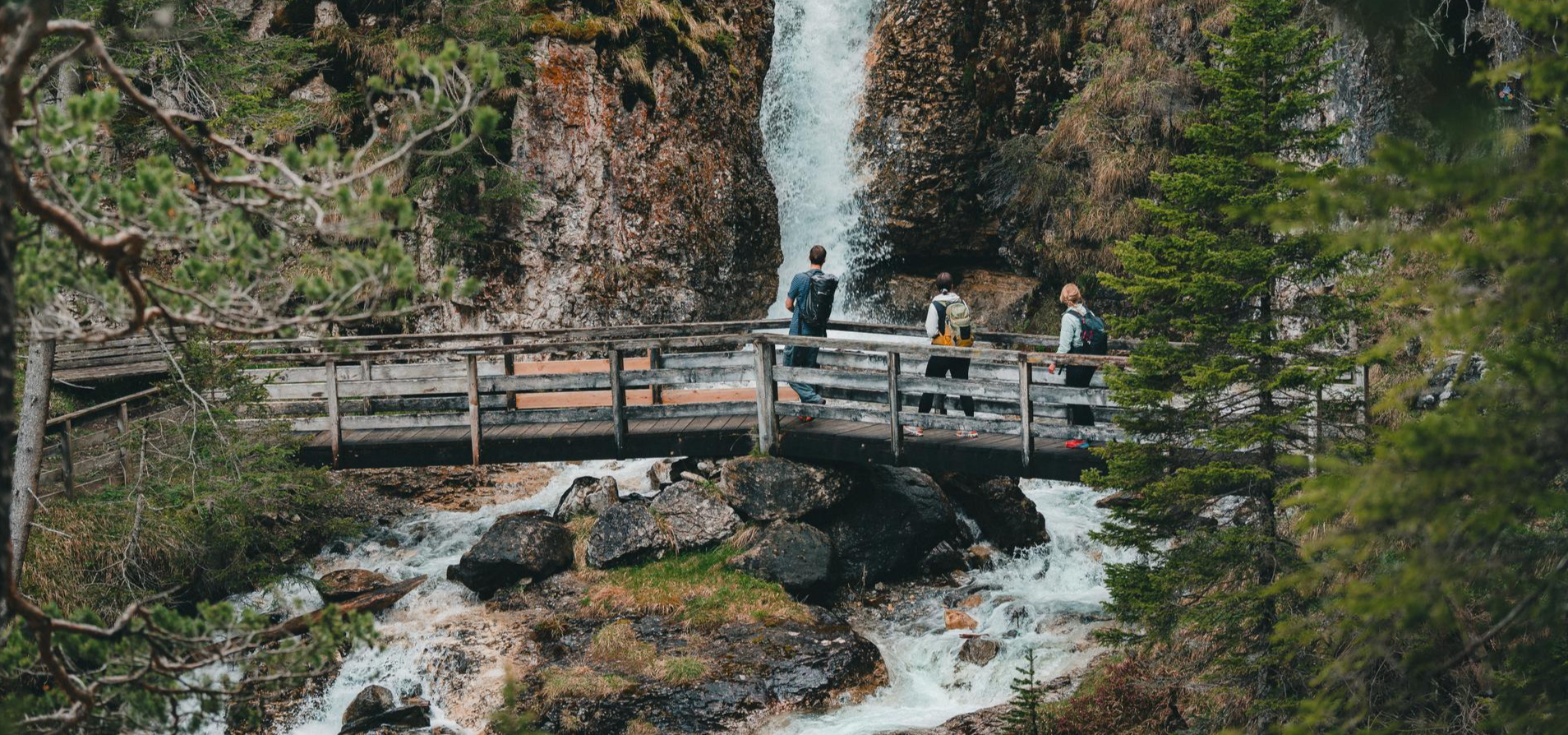
Idyllic mountain lakes and rushing waterfalls – hiking in the Wipptal
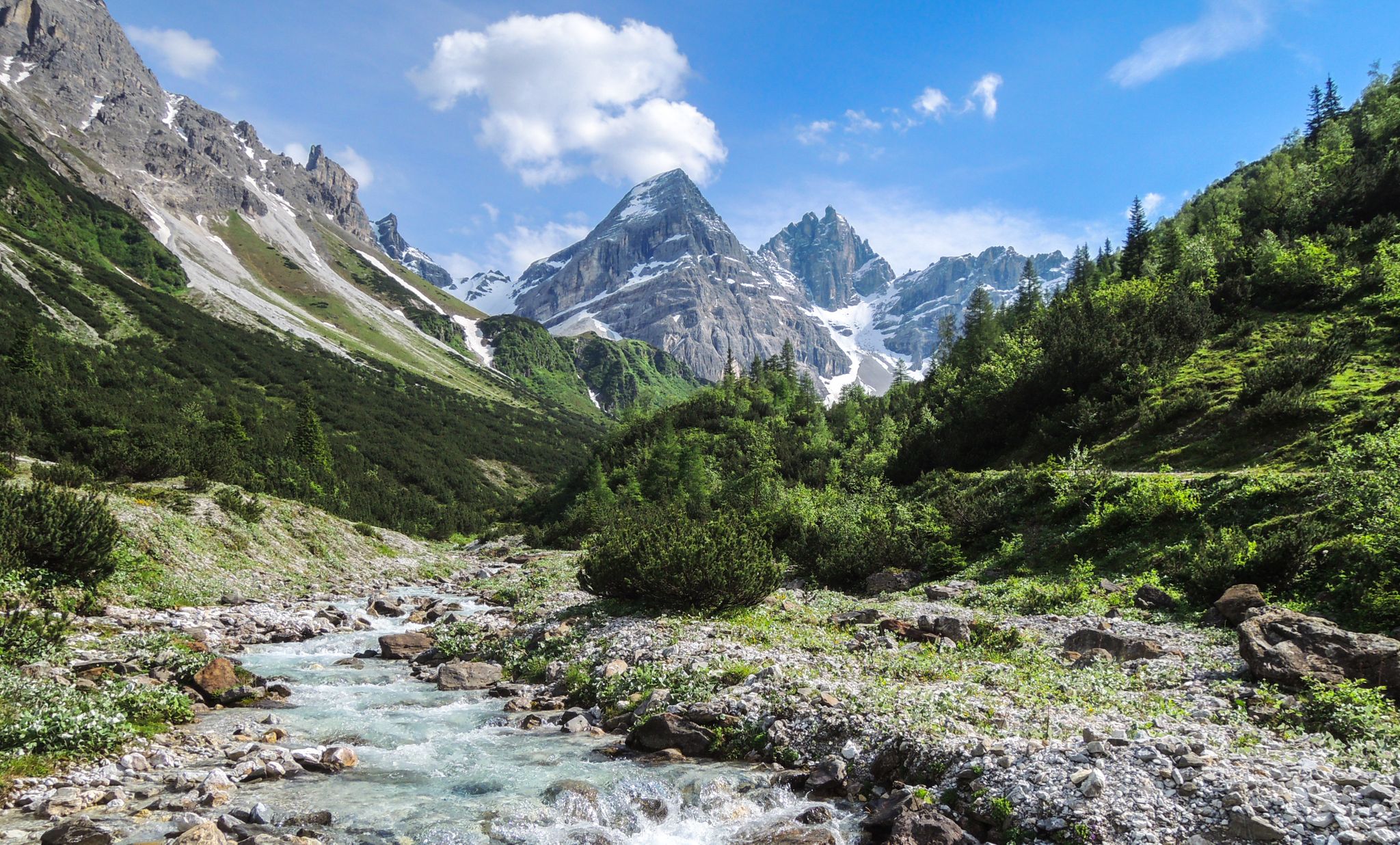
A journey of discovery in Tyrol – hidden places in the Wipptal Valley
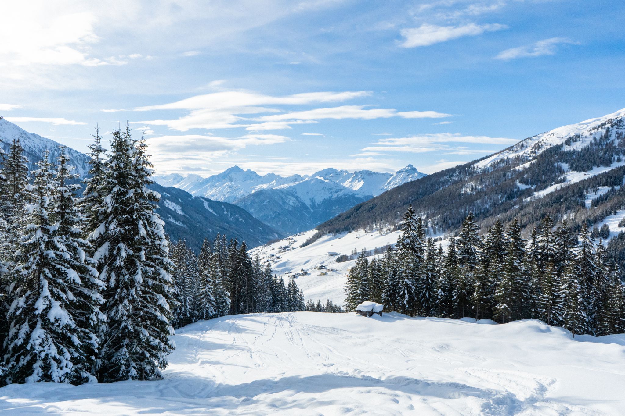
Your winter in Austria’s Wipptal Valley: 10 tips for adventuring in the snow
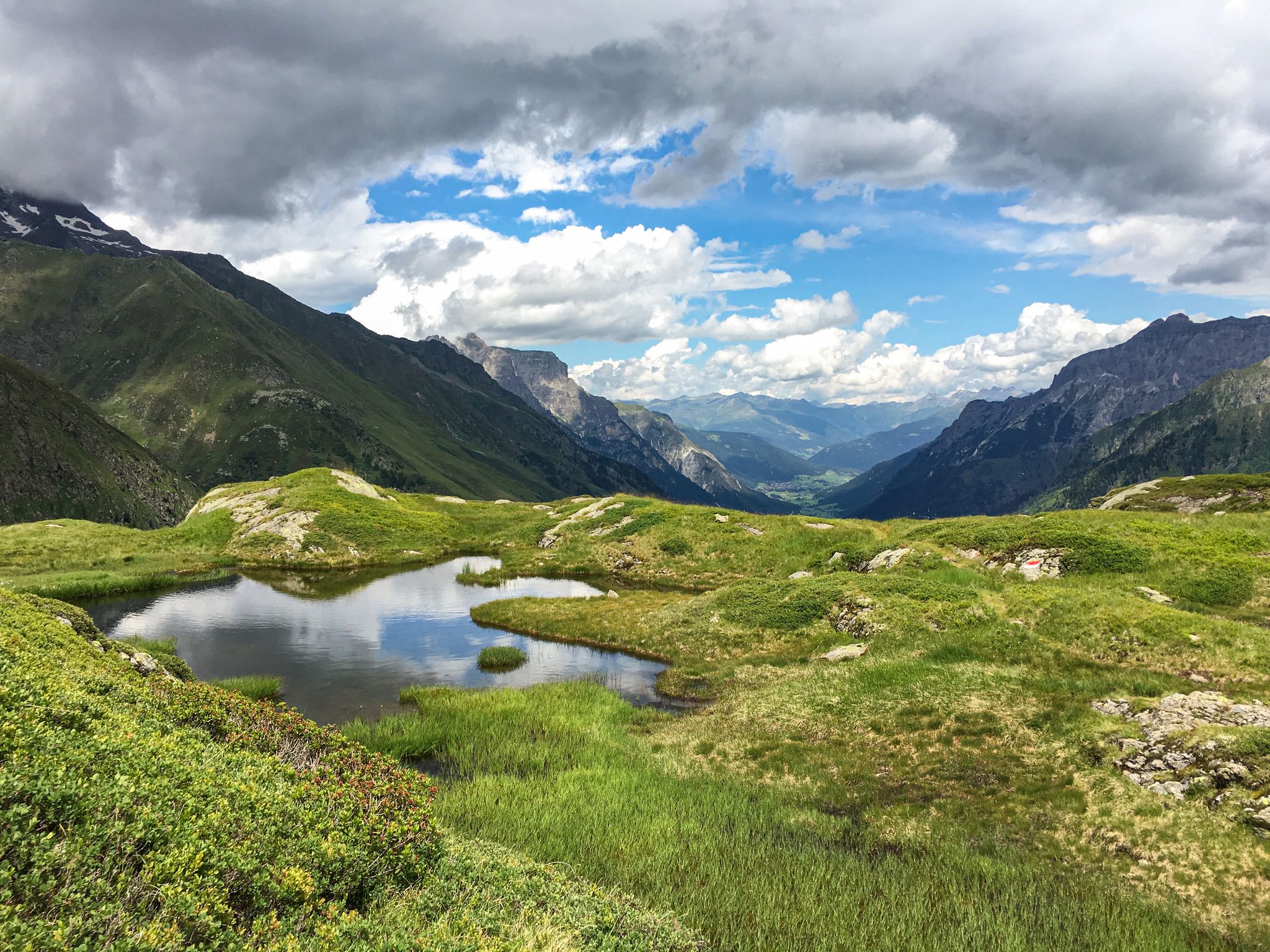
Lonely lakes and thundering waterfalls – magical places in the Wipp Valley
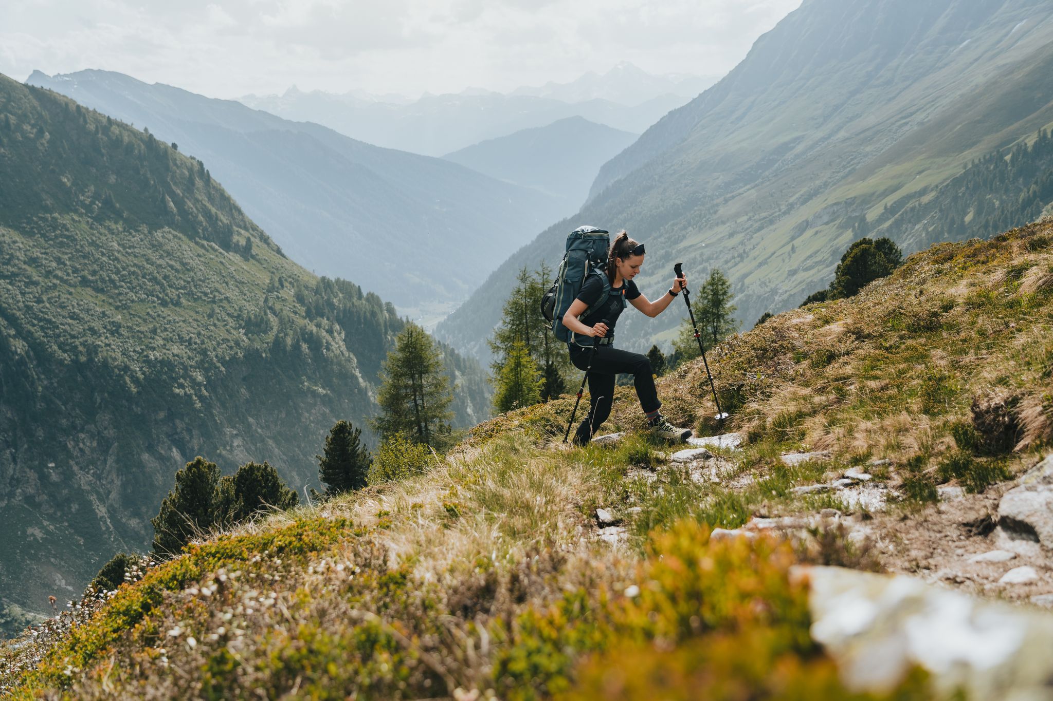
Fünf kulinarische Alm- und Hüttenwanderungen im Wipptal
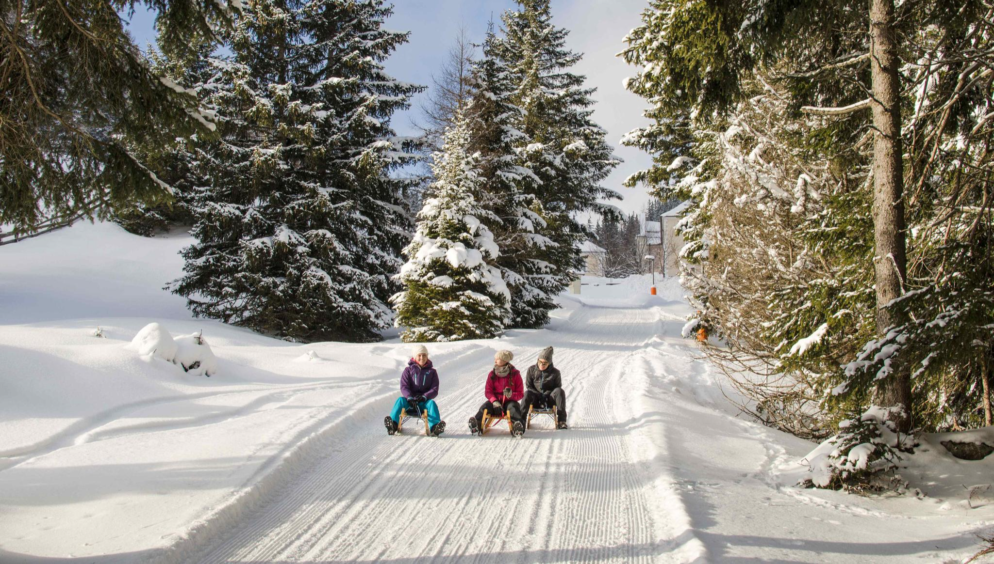
Rodelspaß und urige Hütten – Winterzauber Wipptal
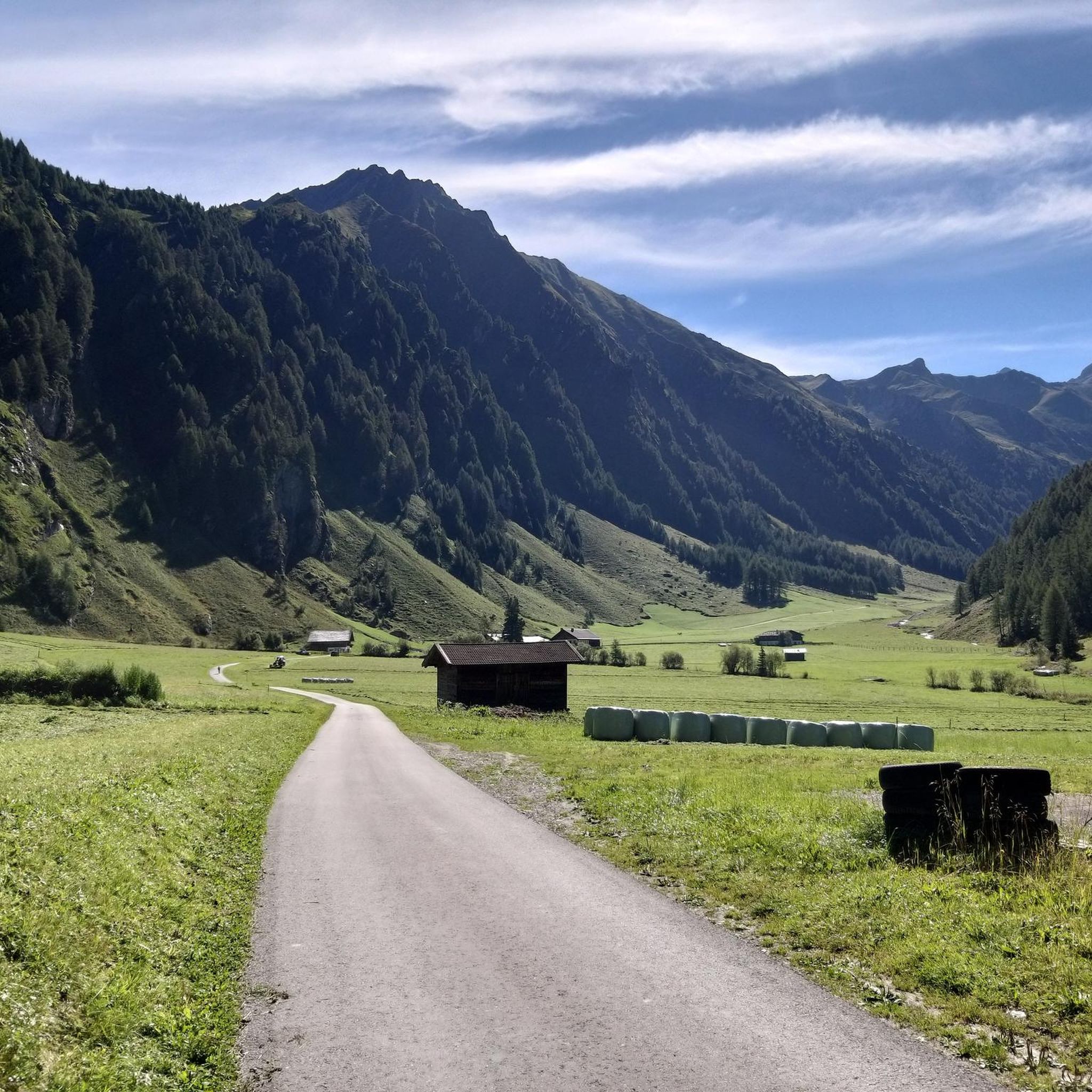
Cycling around Schmirn
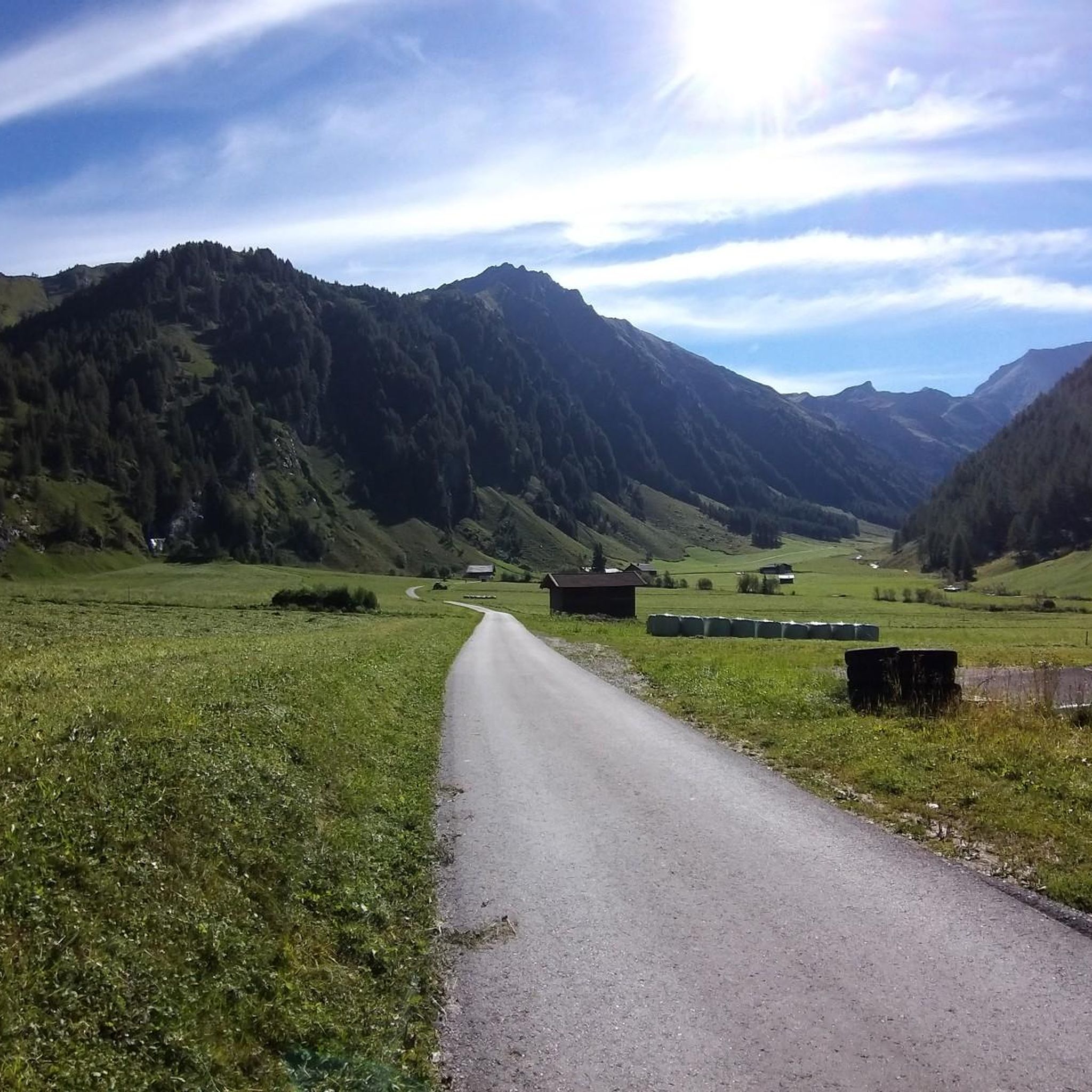
Road Cycling Routes around Schmirn
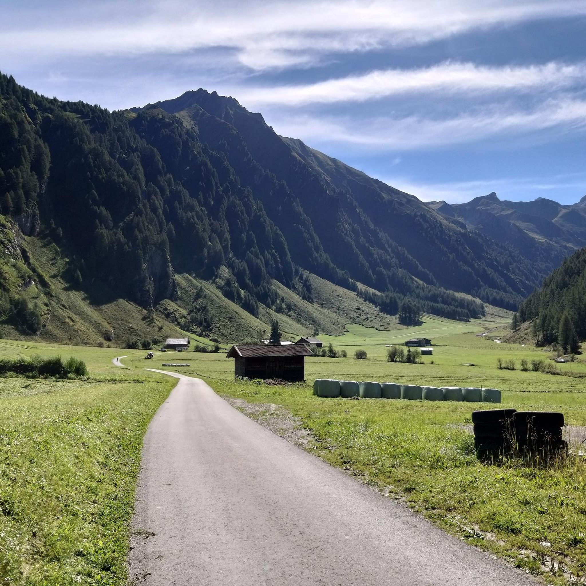
Hiking around Schmirn
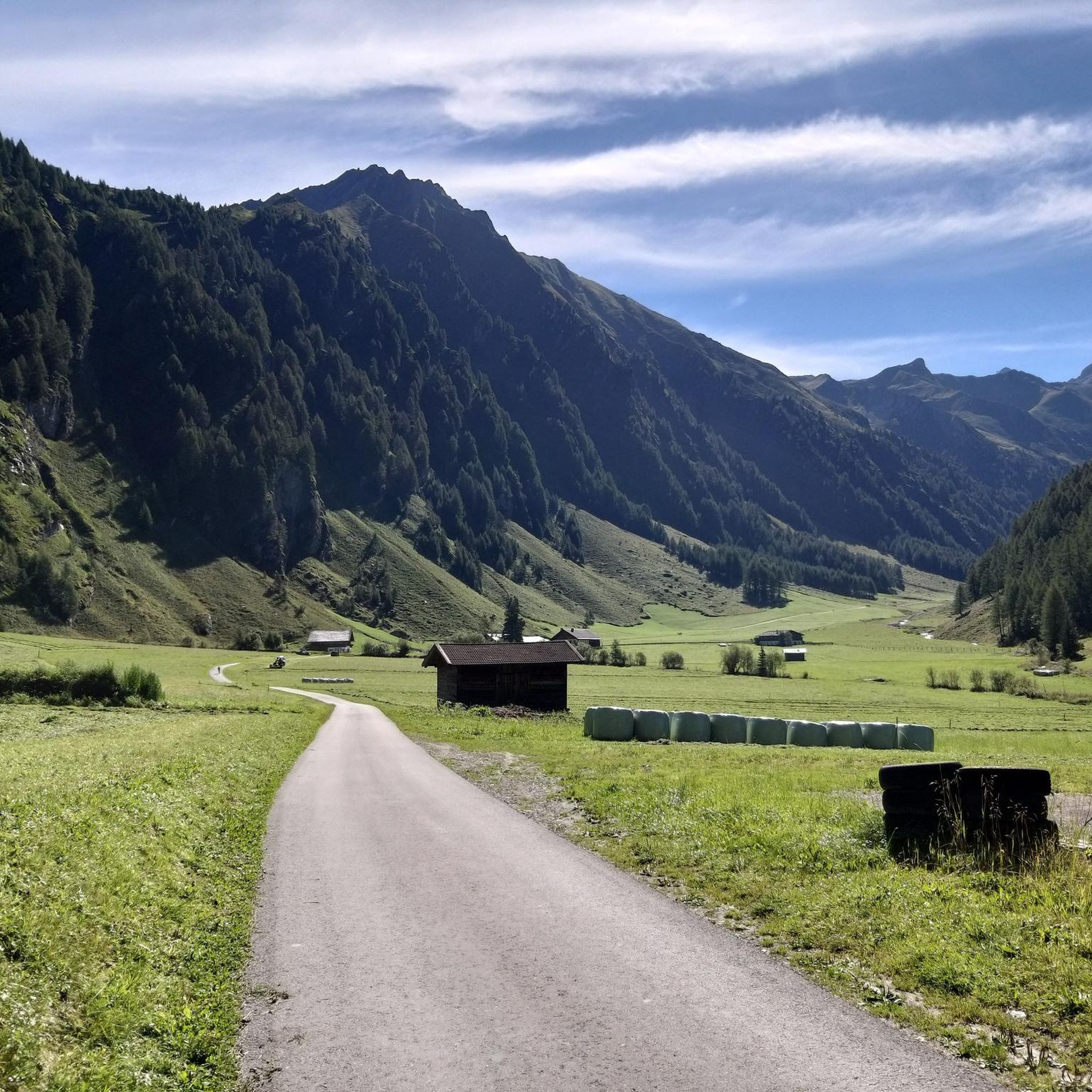
MTB Trails around Schmirn
Other adventures around Schmirn

Tips from the Community

In summer, self-service drinks are available at the alpine hut. The cash register for drinks and donations is on the wall inside the hut. 🙂 A beautiful little hike. Also easy to manage with a small child. Be careful, though, on the steep slopes towards the stream. Always let your child walk towards the mountain, not the slope. ❣️
0
0

Being able to replenish water reserves during the tour is simply fantastic 🤩 Especially on hot days because of the exposure 👌🏻
0
0

The ascent to the Frauenwand is worthwhile because of the view, and there are also other options for hiking tours/summit ascents from here.
0
0
From here there is a beautiful view, especially of the Tux valley, but also of the surrounding higher peaks!
0
0


Rustic and like from earlier times, the small, unmanaged huts on this beautiful alpine pasture are in front of you. A perfect place for a rest and the consumption of snacks you have brought with you.
1
0
From the small hamlet of Obern, which belongs to Ladins, you can hike into the mighty gorge of the Kluppental. A great route for young and old.
0
0
In the Kluppental you hike through an imposing gorge, always along the Kluppenbach. At the end of the gorge you will find wide alpine meadows and a few huts.
0
0
Frequently Asked Questions
What is the overall difficulty level of mountaineering routes in Schmirn?
The mountaineering routes in Schmirn are generally considered difficult. All 11 routes listed in this guide are rated as difficult, offering challenging ascents and alpine terrain suitable for experienced mountaineers. For example, the Schoberspitze loop from Schmirn involves a significant elevation gain of almost 1,000 meters.
Are there any circular mountaineering routes in the Schmirn area?
Yes, Schmirn offers several excellent circular mountaineering routes. A popular option is the Mountaineering loop from St. Jodok am Brenner, which provides alpine challenges within the wider mountaineering village area. Another notable circular path is the Lizumer Reckner Summit Cross – Cliff Edge loop from Ladins, leading through high alpine landscapes.
What are some notable natural features or landmarks to see along the mountaineering routes in Schmirn?
Schmirn is rich in natural beauty. You can encounter impressive gorges and waterfalls, such as the Schrauben Waterfall or the Zamserbachtal Valley. The region is also home to significant peaks like the Grüblspitze and the majestic Olperer Summit, part of the Tux Main Ridge, which offers spectacular panoramic views.
What do other mountaineers enjoy most about the routes in Schmirn?
The mountaineering routes in Schmirn are highly rated by the komoot community, with an average score of 4.6 stars from over 360 reviews. Mountaineers often praise the challenging alpine landscapes, the stunning panoramic views from peaks like the Olperer massif, and the diverse trail networks that cater to a true alpine experience.
What is the typical duration for mountaineering routes in Schmirn?
The duration of mountaineering routes in Schmirn varies depending on the specific trail and your pace. For instance, the Mountaineering loop from St. Jodok am Brenner typically takes around 2 hours and 15 minutes. Longer routes, such as the Lizumer Reckner Summit Cross – Cliff Edge loop from Ladins, can take approximately 7 hours and 8 minutes to complete.
Are there any specific peaks or summits that are popular for mountaineering in Schmirn?
Yes, Schmirn offers access to several popular peaks. The Olperer massif is a prominent feature, and while challenging, its grandeur can be admired from surrounding peaks. Other accessible peaks include the Ultenspitze (or Ottenspitze), Gammerspitze, and the Small Kaserer. The Schoberspitze loop from Schmirn leads to the Western Schöberspitze, providing a challenging ascent.
What are the best times of year for mountaineering in Schmirn?
The best time for mountaineering in Schmirn is typically during the warmer months, from late spring to early autumn, when trails are clear of snow and weather conditions are more stable. However, Schmirn is also known for its winter activities, with heavy snowfall making it popular for ski touring and snowshoeing, particularly in Innerschmirn.
Are there any multi-day mountaineering options or hut-to-hut tours available in Schmirn?
Yes, for those seeking multi-day adventures, the Schmirn region offers opportunities for hut-to-hut excursions. The Smugglers' Trail and the Peter Habeler Tour are examples of routes that lead to hidden glacial lakes and along historical paths, allowing for extended exploration of the alpine landscape.
What is the highest elevation gain on a mountaineering route in Schmirn?
Among the routes listed, the Lizumer Reckner Summit Cross – Cliff Edge loop from Ladins features the highest elevation gain, with an ascent of over 1,230 meters. This route is designed for experienced mountaineers looking for a significant challenge in high alpine terrain.
Are there any specific valleys or areas known for their challenging ascents in Schmirn?
The Wildlahnertal valley is described as lonely and wild, offering particularly challenging ascents for mountaineers. The Kluppental valley, north of Ladins, also features an impressive gorge and opens into wide alpine pastures, providing varied and demanding terrain.
How many mountaineering routes are available in the Schmirn area?
There are 11 dedicated mountaineering routes detailed in this guide for the Schmirn area, all of which are rated as difficult. These routes offer a range of challenging experiences for mountaineers exploring the Wipptal valley.
Is Schmirn suitable for winter mountaineering or other winter sports?
Absolutely. Schmirn transforms into a winter wonderland, especially popular for ski touring due to heavy snowfall, particularly in Innerschmirn near the Zillertal Alps. There are also extensive options for snowshoeing and winter hiking, with trails traversing areas like the Wildlahnertal Valley or leading to peaks such as the Rauher Kopf.
Are there any cultural or historical attractions near the mountaineering routes in Schmirn?
Beyond the physical activities, Schmirn offers cultural insights. The Mariahilf Pilgrimage Church, known as "Zur Kalten Herberge," is a notable attraction accessible via a leisurely hiking trail. Additionally, initiatives like the "School of the Alpine Pasture" allow visitors to learn about traditional alpine life.
Most popular routes around Schmirn
Most popular attractions around Schmirn

Get inspired with the komoot mobile app


Explore more
Browse the best Mountain Hikes & Routes in other regions.
