The best mountain hikes around Arzl im Pitztal
4.9
(193)
1,472
hikers
62
hikes
Mountaineering routes around Arzl im Pitztal traverse an alpine landscape characterized by deep valleys, forested slopes, and high mountain peaks. The region offers a diverse range of terrain, from challenging ascents to more accessible paths through alpine meadows. This area is part of the Pitztal valley, providing varied elevation changes and panoramic views of the surrounding Tyrolean Alps.
Best mountaineering routes around Arzl im Pitztal
- The most popular mountaineering route is View of Imst – Tschirgant Summit loop from Karrösten…
Last updated: July 21, 2026
5.0
(2)
26
hikers
15.1km
07:13
1,310m
1,310m
Hard mountaineering route. Very good fitness required. Sure-footedness, sturdy shoes and alpine experience required.
5.0
(1)
21
hikers
5.64km
01:50
250m
250m
Easy mountaineering route. Great for any fitness level. Easily-accessible paths. Suitable for all skill levels.

Sign up for free
4.0
(1)
13
hikers
Hard mountaineering route. Very good fitness required. Sure-footedness, sturdy shoes and alpine experience required.
3.7
(3)
14
hikers
15.7km
08:00
1,450m
1,450m
Hard mountaineering route. Very good fitness required. Sure-footedness, sturdy shoes and alpine experience required.
4.7
(3)
27
hikers
4.30km
01:28
230m
230m
Easy mountaineering route. Great for any fitness level. Easily-accessible paths. Suitable for all skill levels.
Get access to more routes and recommendations from other explorers.
Sign up for free
Already have an account?
Our route recommendations are based on thousands of hikes, rides, and runs completed by other people on komoot.
Start today with a free account
Your next adventure awaits.
Login or Signup
Popular around Arzl im Pitztal
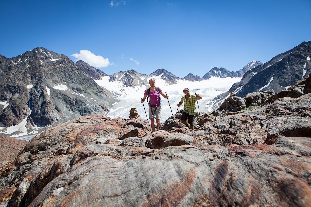
Diving into mountain adventure in the Pitztal valley
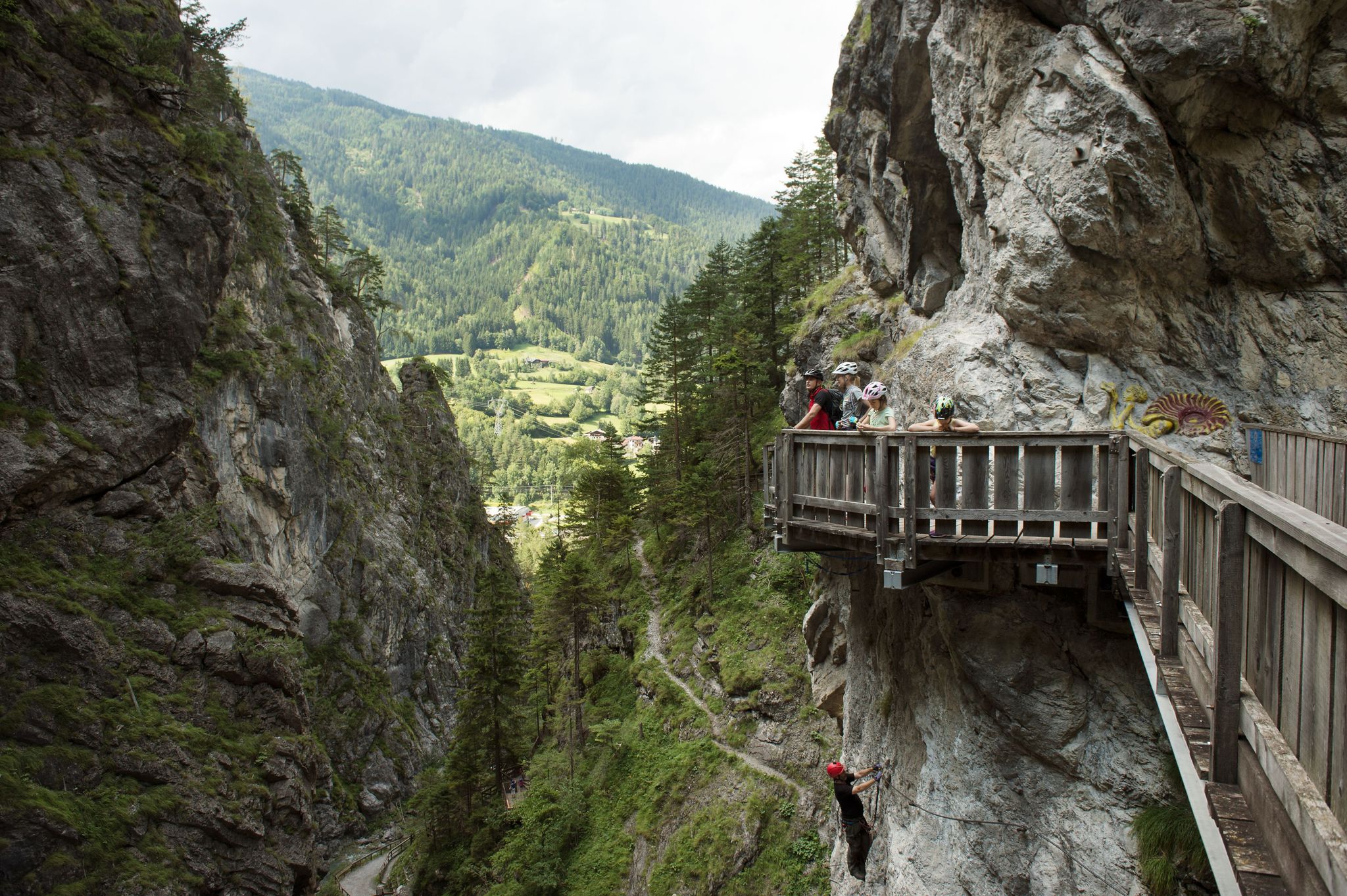
Natur, Spaß und Erholung – Radtouren für Familien in Tirol
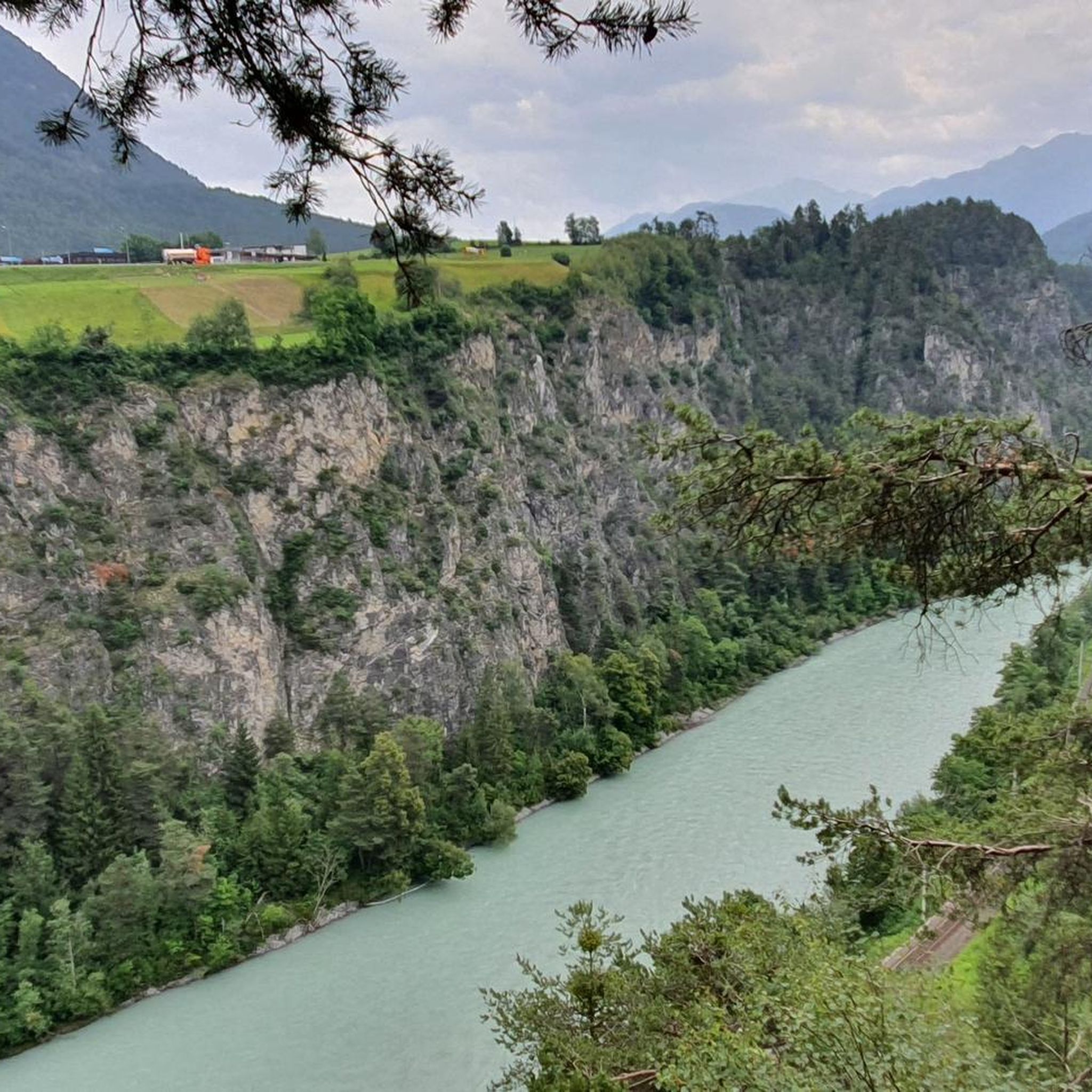
Cycling around Arzl im Pitztal
Road Cycling Routes around Arzl im Pitztal
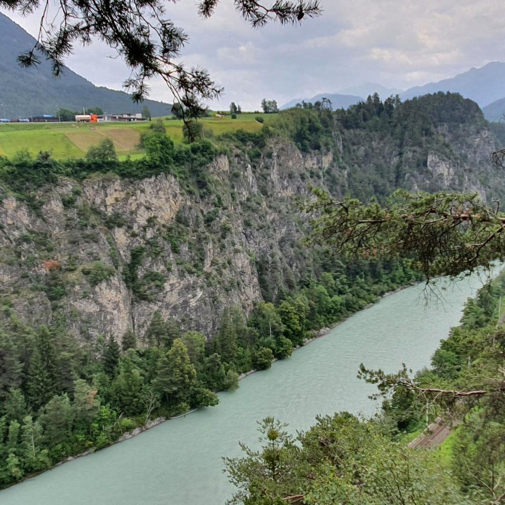
MTB Trails around Arzl im Pitztal
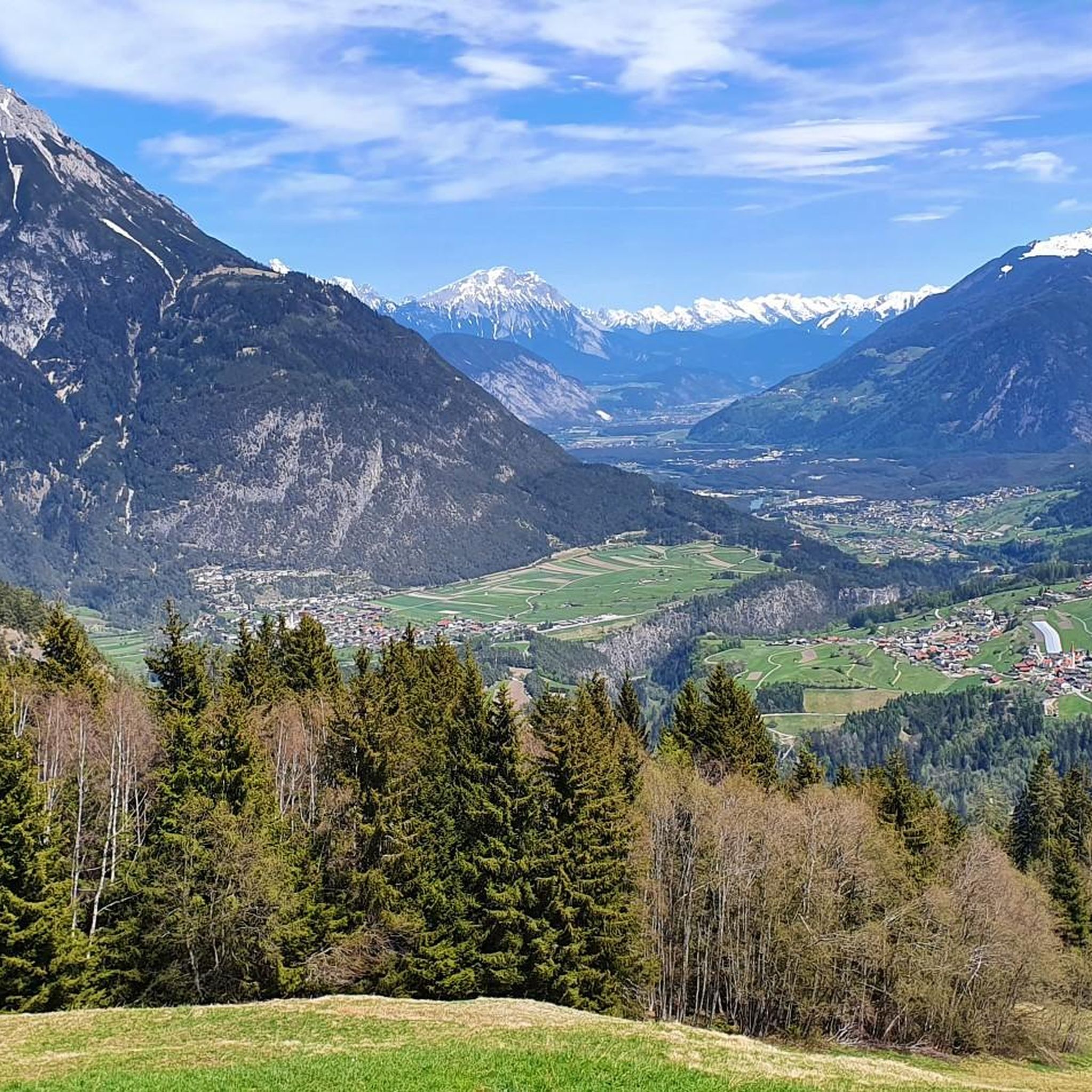
Hiking around Arzl im Pitztal

Gravel biking around Arzl im Pitztal
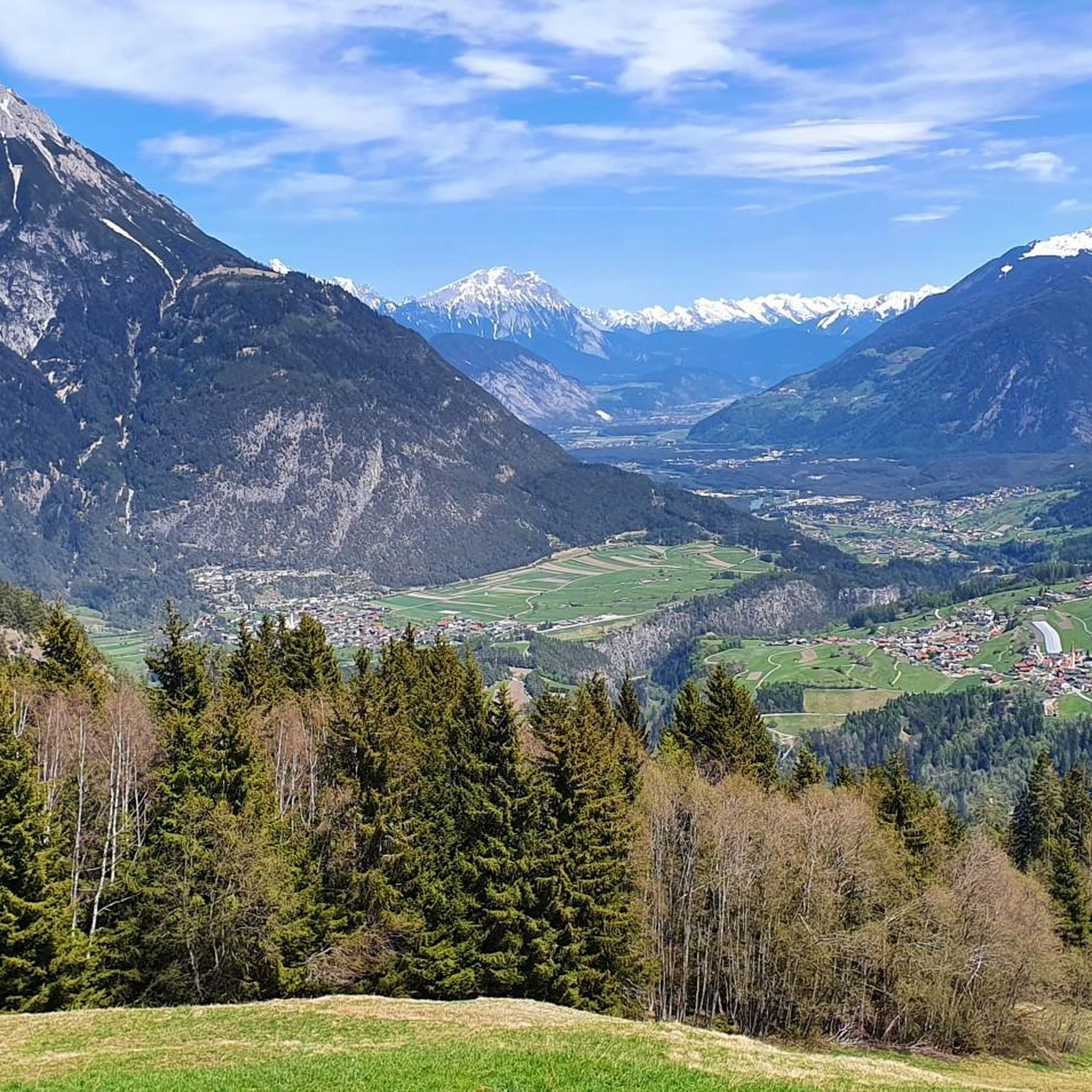
Running Trails around Arzl im Pitztal


Tips from the Community

You must first rent the cart from the middle station, it costs €15, then take the chairlift to the mountain station for free (the cart too). You ride the cart from the mountain station to the middle station and return the cart at the middle station. 5 people can ride a cart from the mountain station all the way to the valley station, it costs €31.
0
0

A very beautiful alpine pasture; unfortunately, the sympathy we were used to has gone down the drain with the new tenant. And if the good lady is reading this – if you're going to criticize someone (at the alpine pasture), it's best to do it at a low volume. But fortunately, this isn't the only alpine pasture in the region.
0
0

One of the most beautiful gorges I know. Take a walk around it; the whole area is worth it.
0
0

Rosengartenschlucht uphill and Hachleschlucht downhill Top
0
0

Entrance to the Rosengarten Gorge with rock formations into which residential buildings have been integrated. Historically, these houses, built into the rock, served as homes and workplaces. Their origins are closely linked to the geological composition of the Bergl, formed by the Inn Valley glacier some 26,000 years ago. The use of the rock as an integral part of the buildings not only provided protection from the elements but also natural insulation. Today, the Bergl houses are an important cultural heritage site in Imst and a popular photo opportunity for visitors. They symbolize historic architecture and the impressive ability of people to adapt to their natural environment. A walk through this district provides a fascinating insight into the history and lifestyles of past generations.
6
0

Via mountain rescue trail to Tschirgant
1
0

It is very beautiful here.
0
2
Frequently Asked Questions
How challenging are the mountaineering routes in Arzl im Pitztal?
The mountaineering routes around Arzl im Pitztal offer a range of difficulties. While there are 6 easy routes and 16 moderate routes, the majority, 42 out of 64, are classified as difficult. This means the region caters well to experienced mountaineers seeking demanding ascents and technical terrain.
Are there any routes suitable for beginners or those new to mountaineering?
Yes, Arzl im Pitztal does offer some options for beginners. There are 6 easy routes available, which are a good starting point for those new to mountaineering or looking for less strenuous ascents. These routes typically involve less elevation gain and shorter distances, allowing for a gentler introduction to the alpine environment.
What are some challenging routes for experienced mountaineers in Arzl im Pitztal?
Experienced mountaineers will find ample challenge in Arzl im Pitztal. Routes like the View of Imst – Tschirgant Summit loop from Karrösten, a difficult 8.9-mile (14.3 km) trail with over 1300 meters of elevation gain, offer demanding ascents and expansive views. Another option is the Tschirgant Summit – Bergwacht Mountain Hut loop from Karrösten, which is 9.6 miles (15.5 km) and also difficult, combining a summit experience with a visit to a mountain hut.
What is the typical duration for mountaineering routes in this region?
The duration of mountaineering routes in Arzl im Pitztal varies significantly based on difficulty and length. For instance, the difficult Descent from Hochzeiger – Hochzeiger Summit loop from Zeigerrestaurant can be completed in about 4 hours. More extensive tours, such as the View of Imst – Tschirgant Summit loop from Karrösten, typically take around 7 hours.
When is the best time of year for mountaineering in Arzl im Pitztal?
The best time for mountaineering in Arzl im Pitztal is generally during the warmer months, from late spring to early autumn (June to September). During this period, snow has usually melted from higher elevations, and weather conditions are more stable, offering clearer paths and better visibility for summit attempts and high-alpine traverses.
Are there any circular mountaineering routes available?
Yes, many mountaineering routes in Arzl im Pitztal are designed as loops, allowing you to start and end at the same point. Examples include the difficult Zirbenpark – Ridge to Hochzeiger loop from Zeigerrestaurant, which is 7.6 miles (12.2 km), or the challenging Groaßsee – Wildgrat Summit (2,971 m) loop from Zeigerrestaurant, covering 13.1 miles (21.1 km).
What kind of amenities can I expect along the mountaineering routes?
Many mountaineering routes in Arzl im Pitztal pass by or lead to mountain huts (Alpenvereinshütten) or restaurants, especially in areas like Hochzeiger. These provide opportunities for refreshments, meals, and sometimes overnight stays. For example, the Tschirgant Summit – Bergwacht Mountain Hut loop from Karrösten specifically includes a visit to a mountain hut.
What can I see along the mountaineering routes in terms of natural landmarks?
The region around Arzl im Pitztal is rich in natural beauty. While on your mountaineering routes, you might encounter stunning mountain passes like Sattele Pass (1,690 m) or Felderjöchl. The area is also known for its impressive waterfalls, such as the Stuibenfall Waterfall, which can be viewed from platforms like the Stuibenfall Viewing Platform.
Where are common starting points or trailheads for mountaineering in Arzl im Pitztal?
Common starting points for mountaineering routes in Arzl im Pitztal often include villages like Karrösten or specific locations such as Zeigerrestaurant. These points typically offer access to a network of trails leading into the higher alpine terrain, providing convenient access to various routes.
What do other mountaineers enjoy most about the routes in Arzl im Pitztal?
The mountaineering routes in Arzl im Pitztal are highly rated by the komoot community, with an average score of 4.9 stars from over 180 reviews. Mountaineers frequently praise the diverse terrain, from forested slopes to high mountain peaks, and the panoramic views of the surrounding Tyrolean Alps. The well-maintained paths and the sense of alpine adventure are also commonly highlighted.
Are there any specific safety considerations for mountaineering in this region?
Mountaineering in Arzl im Pitztal, especially on difficult routes, requires appropriate preparation and awareness. Always check weather forecasts, carry essential gear, and inform someone of your planned route. Some routes involve significant elevation changes and exposed sections, so a good level of fitness and sure-footedness are crucial. Be mindful of changing alpine conditions, which can occur rapidly.
Most popular routes around Arzl im Pitztal
Most popular attractions around Arzl im Pitztal

Get inspired with the komoot mobile app


Explore more
Browse the best Mountain Hikes & Routes in other regions.
