The best running trails around Obergurgl und Hochgurgl
4.4
(41)
1,704
runners
19
runs
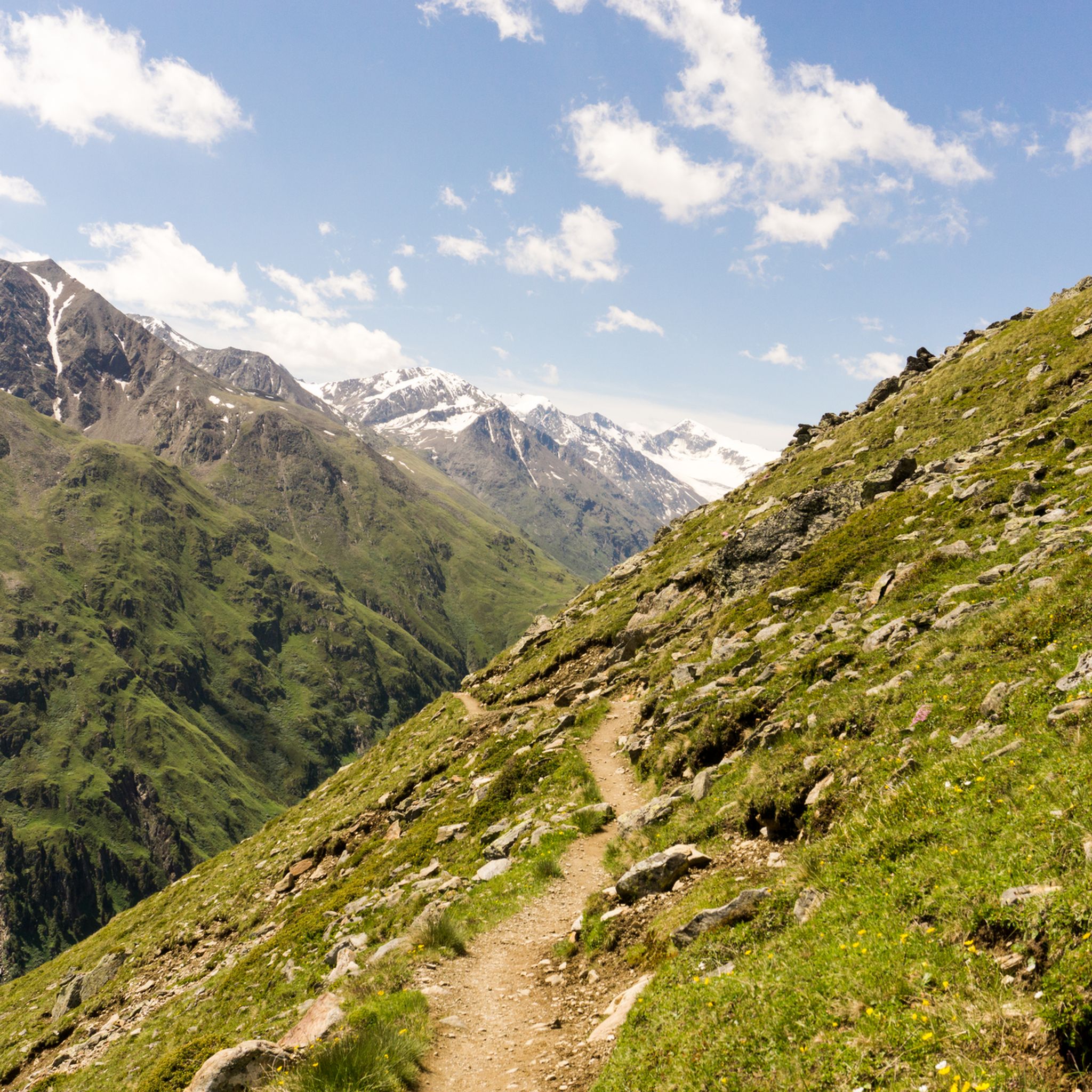
Jogging around Obergurgl und Hochgurgl offers an experience in a high-alpine setting within the Ötztal valley in Tyrol, Austria. The region is characterized by its significant altitude, with villages situated between 1,930 m and 2,150 m, providing crisp mountain air and panoramic views of the Ötztal Alps. A substantial portion of the area lies within the Ötztal Nature Park, featuring a network of running paths that traverse diverse terrain, including glaciers and alpine flora. These natural features create varied environments…
Last updated: July 4, 2026
4.8
(4)
191
runners
26.2km
05:09
1,690m
1,690m
Hard run. Very good fitness required. Sure-footedness, sturdy shoes and alpine experience required.
5.0
(6)
111
runners
13.6km
02:21
770m
770m
Hard run. Very good fitness required. Sure-footedness, sturdy shoes and alpine experience required.

Sign up for free
5.0
(1)
56
runners
8.01km
01:12
360m
360m
Hard run. Very good fitness required. Sure-footedness, sturdy shoes and alpine experience required.
36
runners
Moderate run. Good fitness required. Mostly paved surfaces. Suitable for all skill levels.
31
runners
11.8km
01:22
240m
240m
Moderate run. Good fitness required. Mostly paved surfaces. Suitable for all skill levels.
Get access to more routes and recommendations from other explorers.
Sign up for free
Already have an account?
Our route recommendations are based on thousands of hikes, rides, and runs completed by other people on komoot.
Start today with a free account
Your next adventure awaits.
Login or Signup
Popular around Obergurgl und Hochgurgl
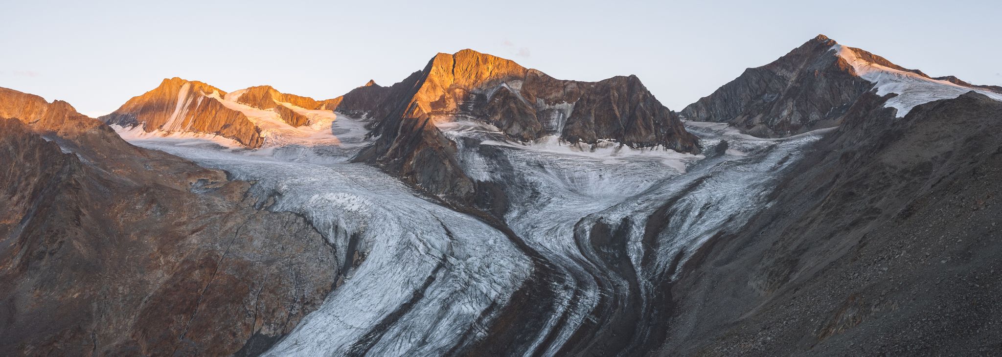
Hikes to the melting giants of the Alps – glaciers
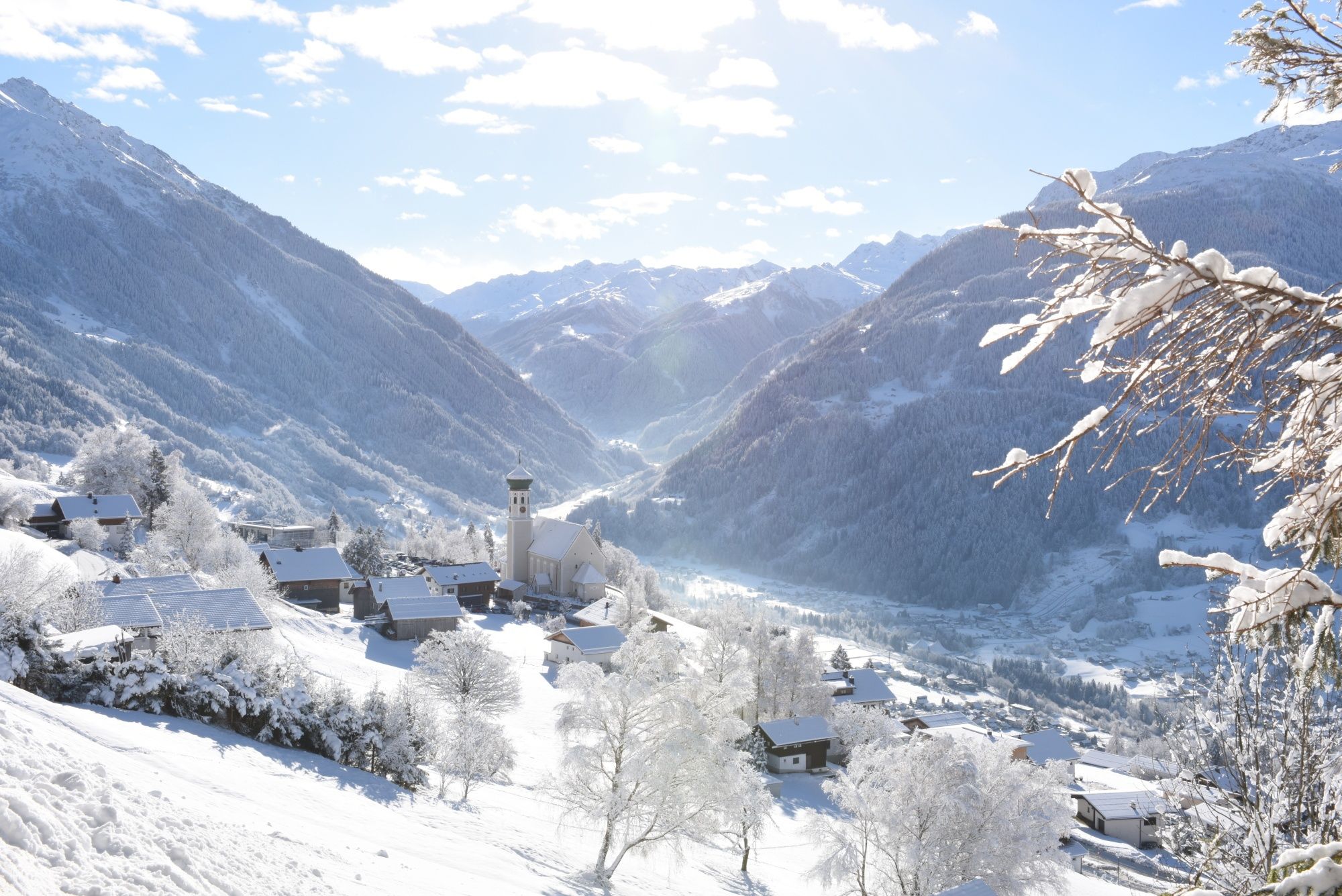
Tobogganing, ice bathing and hiking – winter away from the slopes
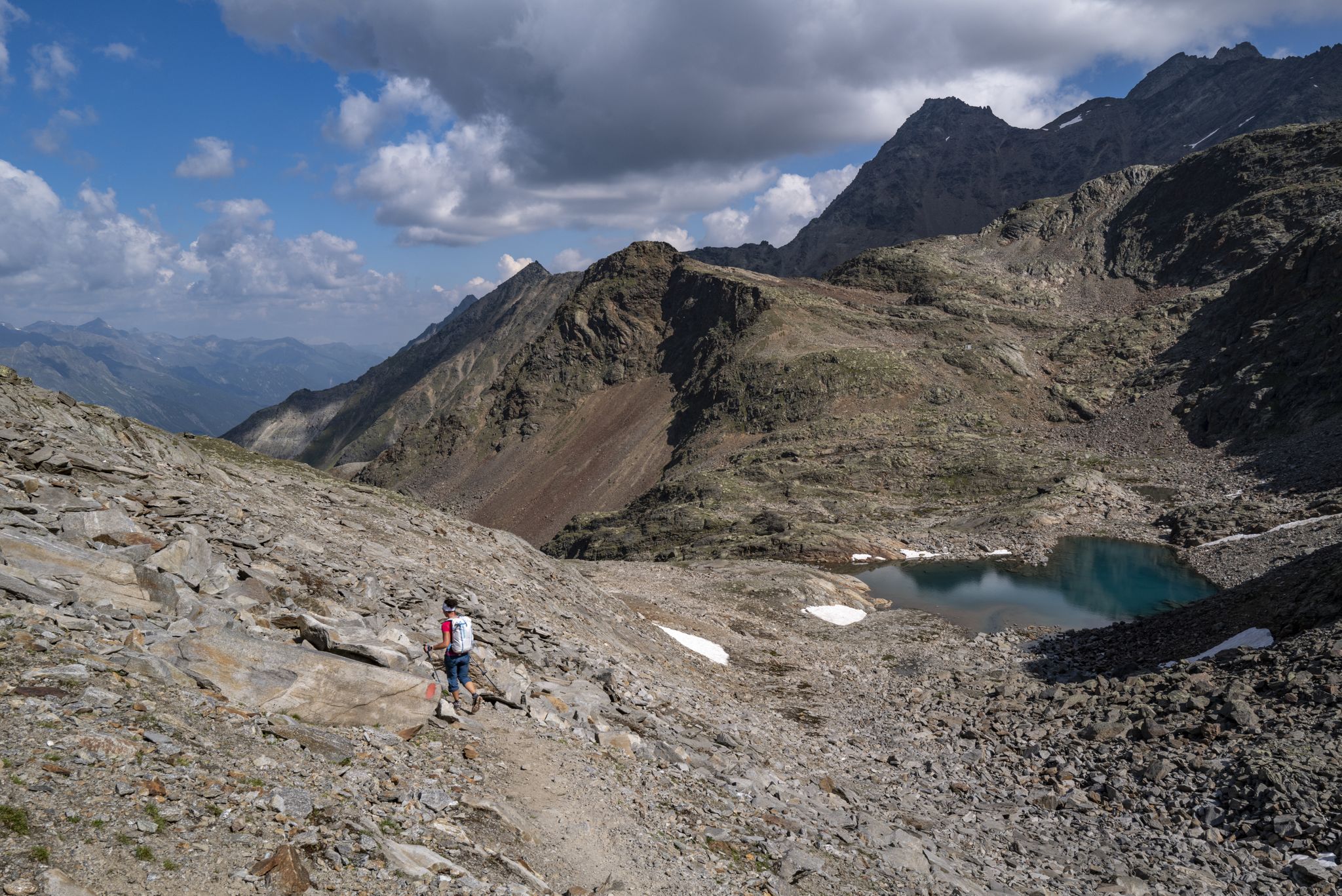
An adventure for true mountain enthusiasts – the Ötztal Trek
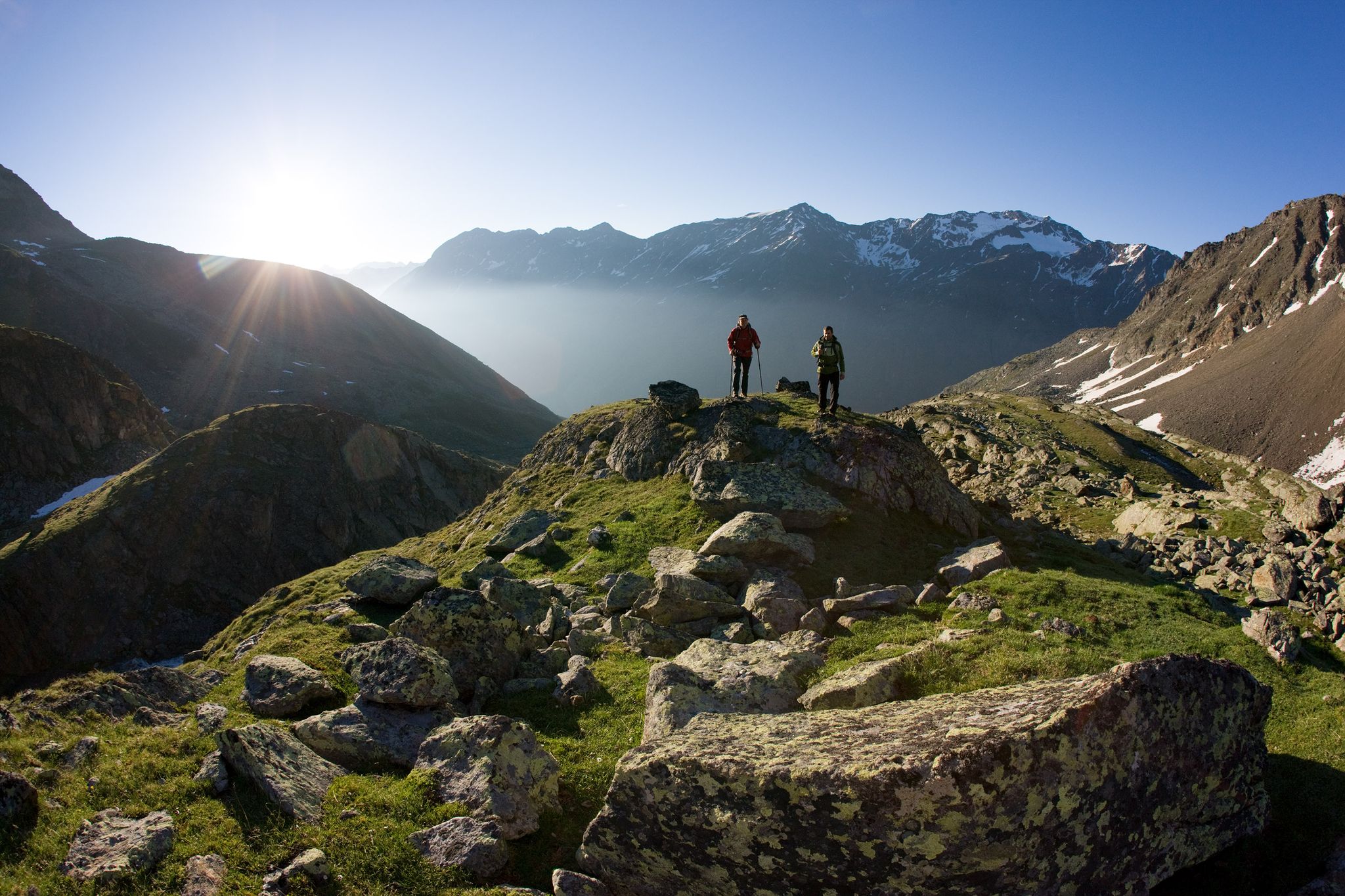
12 days hiking through the Tyrolean Alps – Ötztaler Urweg Trail
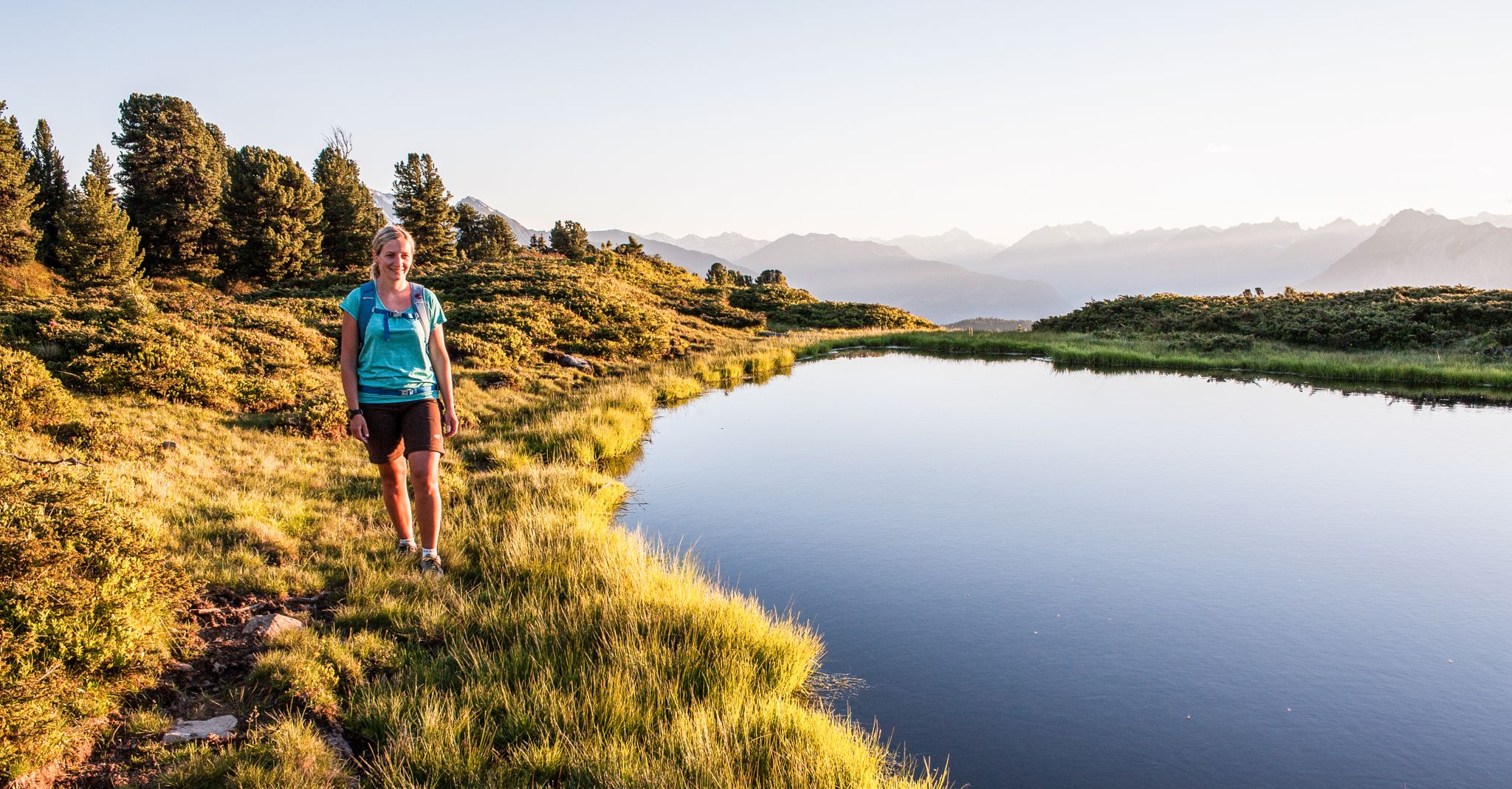
Multi-day hikes for beginners & alpinists in the Ötztal valley

Big and small adventures in the mountains of Tyrol
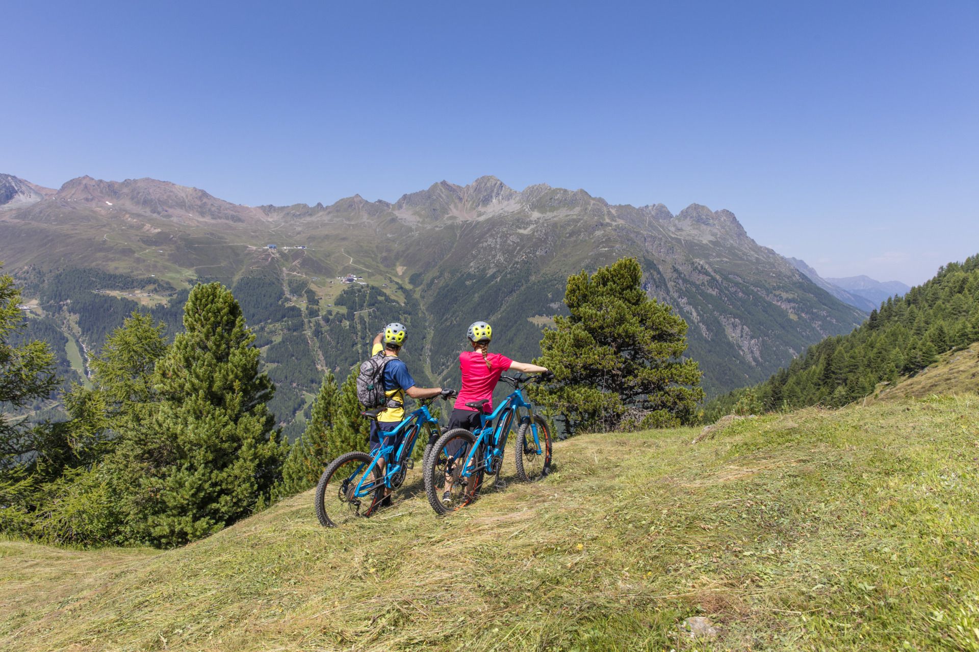
Electric fun — e-biking in the Ötztal
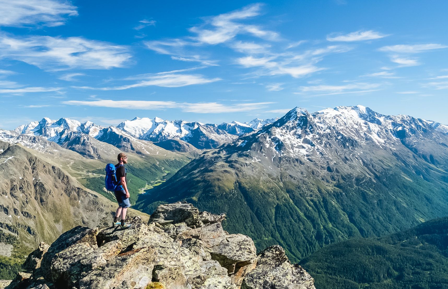
Hiking experiences in the Ötz Valley
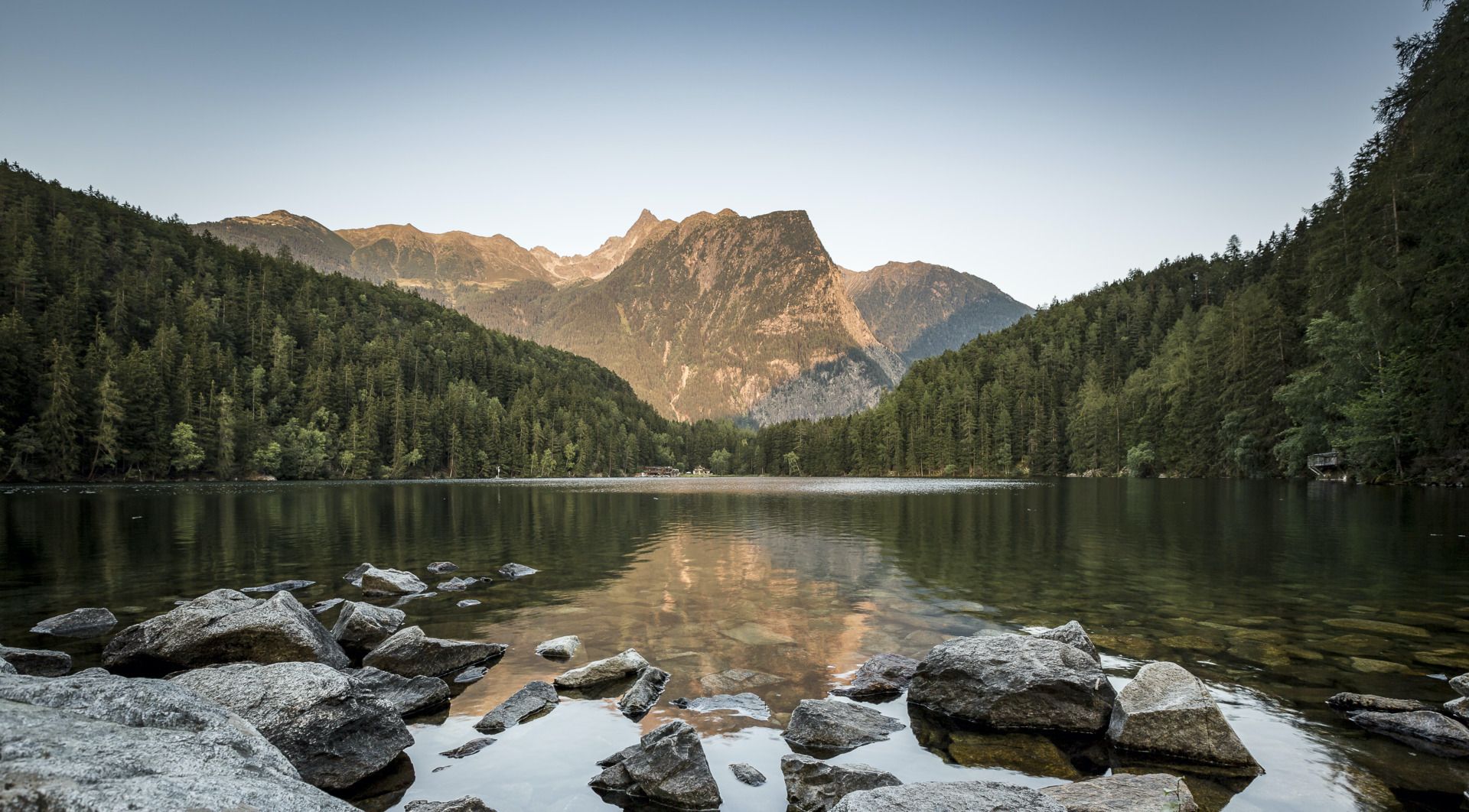
Volg de loop van het water – Wandelen in het Ötztal
Hiking around Obergurgl und Hochgurgl
Other adventures around Obergurgl und Hochgurgl


Tips from the Community

The elaborate metal suspension bridge appears to be modeled after the Piccard Bridge in the Gurgler Ferner glacier. In fact, it is "merely" a feeder connection between two agricultural areas on either side of the Gurgler Ache stream. It connects an inconspicuous path, which leads across a pasture below Obergurgl and is not even marked as a hiking trail, with an unpaved farm track on the other side of the river.
1
0

Parish Church of St. John Nepomuk, Obergurgl In 1726, the inhabitants of Gurgl built their first church on the site of a small chapel and appointed a curate as their permanent pastor. Ten years later, the church was consecrated to the then canonized John Nepomuk. The patronal feast day is May 16th. In 1924, the church was renovated and enlarged according to plans by the architect Clemens Holzmeister. The present parish church still retains the old three-bay nave with round-arched windows and a barrel vault supported by stuccoed double pilasters. A wooden gallery spanned the first bay until 1998. A side chapel was added to the left of the gallery. The tower with its spire is also a remnant of the Baroque church. In 1930, Rudolf Margreiter painted the scene "Wenceslas with John Nepomuk." In the apex of the nave vault, he depicted John Nepomuk kneeling before the altar in Altbunzlau (Bohemia), and in the wide arched opening, Mary with the Child and John the Baptist appearing as intercessors. In the old building, the pulpit stands on the left side and is crowned with a group of putti holding a cross and the dove of the Holy Spirit. On the pulpit body, which is located in the round-arched niches between the pilasters supporting the surrounding entablature, are statuettes of Paul, Peter, and the Evangelist John from the 18th century. The Stations of the Cross date from the same period. In the side chapel, beneath a newly carved Rococo framed canopy, is a Pietà. In 1966, a new nave was added to the "old" church, again under the direction of Clemens Holzmeister. Paintings and sculptures from the old Baroque church were incorporated into the new building. The painting of John Nepomuk hangs on the right side altar, while the left side altar depicts the Sacrifice of the Lamb of God before the Crucified Christ and the Guardian Angel. The mountain scenery of Obergurgl can be seen in the background. The new section is dedicated to St. Paul. The Feast of the Conversion of St. Paul is celebrated on January 25th. Text / Source: Pastoral Care Unit of the Hinteres Ötztal Valley https://www.pfarre-gurgl.com/pfarre-gurgl
15
1


There is a processional cross dating from around 1755, attributed to Joseph Götsch. There is a bell made by Jakob Graßmayr in 1726.
1
0
In the baroque three-bay nave with a barrel vault and round-arch windows there are ceiling paintings by Rudolf Margreiter from 1930. The church tower in the north has round-arch windows and a gable-pointed roof.
1
0
According to documents, a curate church was built on the site of a chapel in 1726 and consecrated in 1737 to John Nepomuk, who was canonized in 1729. In 1315, the Schwaighöfe of Gurgl were given from the original parish of Silz in the Inn Valley to the parish of Umhausen. The curate church was elevated to a parish church in 1891. The church was extended in 1924 with the architect Clemens Holzmeister to include a gallery bay and a side chapel. It was extended in 1966, again with the architect Holzmeister, with a wider, lower new building on the site of the former chancel. The extension was consecrated to St. Paul by Bishop Paulus Rusch. The people's altar stands in the transition between the old building and the new building and mass can be said in both directions. In 1998, the gallery in the old nave was demolished and a new gallery built in the extension.
1
0
Frequently Asked Questions
What kind of terrain can I expect on the running trails in Obergurgl und Hochgurgl?
The running trails in Obergurgl und Hochgurgl are primarily set in a dramatic high-alpine environment. You'll encounter panoramic mountain views, glacier-fed valleys, and diverse terrain within the Ötztal Nature Park. This includes paths traversing glaciers, vibrant alpine flora, crystal-clear mountain streams, and even tranquil Swiss pine forests. Routes range from moderate paths to challenging alpine running routes with significant elevation gain.
Are there running routes suitable for beginners or those looking for an easier jog?
While many routes are challenging, there are options for various ability levels. The region offers moderate paths alongside more difficult alpine running routes. For example, the Bridge over the Gurgler Ache – View of the Gurgler Ache loop from Untergurgl is a moderate 8.9 km route that offers a less strenuous experience.
How many running routes are available in the Obergurgl und Hochgurgl area?
The Obergurgl und Hochgurgl area features over 15 dedicated running routes. These include a mix of easy, moderate, and difficult trails, ensuring there's something for every runner.
What are some notable natural features or landmarks I might see while running?
The region is rich in natural beauty. You can expect majestic panoramic mountain views, glacier-fed valleys, and crystal-clear mountain streams. Specific highlights include the tranquil Zirbenwald (Swiss pine forest) which you can experience on the Obergurgl Stone Pine Trail – Obergurgl loop from Obergurgl. You might also encounter the Rotmoostal valley with its unique rock formations, wildflowers, and glaciers like the Gurgler Ferner.
Are there any running routes that pass by waterfalls or lakes?
Yes, the high-alpine environment means you're often near water features. While specific running routes aren't exclusively dedicated to waterfalls or lakes, the region boasts several beautiful spots. For instance, you can explore highlights like the Rotmoos Waterfall or the serene Seebersee. Many trails offer views of these natural attractions.
What is the best time of year for jogging in Obergurgl und Hochgurgl?
The summer months are ideal for jogging in Obergurgl und Hochgurgl, when the alpine meadows are vibrant and the trails are clear of snow. The high-altitude environment also offers crisp mountain air, which can be particularly beneficial. While winter offers opportunities for winter hiking and snowshoeing, dedicated jogging is best enjoyed from late spring through early autumn.
Are there any long-distance or challenging running trails in the area?
Absolutely. Obergurgl und Hochgurgl is known for its challenging high-alpine routes. The Glacier Trail 26K - Ötztal is a demanding 26.2 km (16.3 miles) trail offering extensive high-alpine views. Another challenging option is the Gletscher Trail 14K – Ötztal, an 13.6 km (8.5 miles) path with significant elevation gain.
Are the running routes in Obergurgl und Hochgurgl suitable for families?
While many routes are challenging, there are family-friendly options available. Look for routes designated as 'easy' or 'moderate' difficulty. These often feature less elevation gain and shorter distances, making them more accessible for families with children. The region's natural beauty ensures an enjoyable experience for all.
What do other runners enjoy most about jogging in Obergurgl und Hochgurgl?
The running experience in Obergurgl und Hochgurgl is highly rated by the komoot community, with an average score of 4.38 stars from over 45 reviews. Runners frequently praise the stunning high-alpine scenery, the crisp mountain air, and the diverse range of trails that cater to different fitness levels. The panoramic mountain views and glacier-fed valleys are often highlighted as key attractions.
Are there circular running routes available?
Yes, many of the running routes in Obergurgl und Hochgurgl are designed as loops, allowing you to start and finish in the same location. An example is the Zirben Alm – Obergurgl loop from Pill, which offers a scenic 11.7 km circular run.
Is public transport available to access the running trails?
Obergurgl and Hochgurgl are well-connected within the Ötztal valley. Public transport options, such as local buses, are generally available to reach various starting points for trails. It's advisable to check local bus schedules for the most up-to-date information on routes and timings to plan your access to specific trailheads.
Are there any permits required for jogging on the trails?
Generally, no specific permits are required for jogging on the designated trails in Obergurgl und Hochgurgl. However, as a significant portion of the area lies within the Ötztal Nature Park, it's always important to respect local regulations, stay on marked paths, and protect the natural environment.
Most popular routes around Obergurgl und Hochgurgl
Most popular attractions around Obergurgl und Hochgurgl

Get inspired with the komoot mobile app


Explore more
Browse the best Running Trails & Routes in other regions.
