The best mountain hikes around Natters
4.8
(272)
3,226
hikers
128
hikes
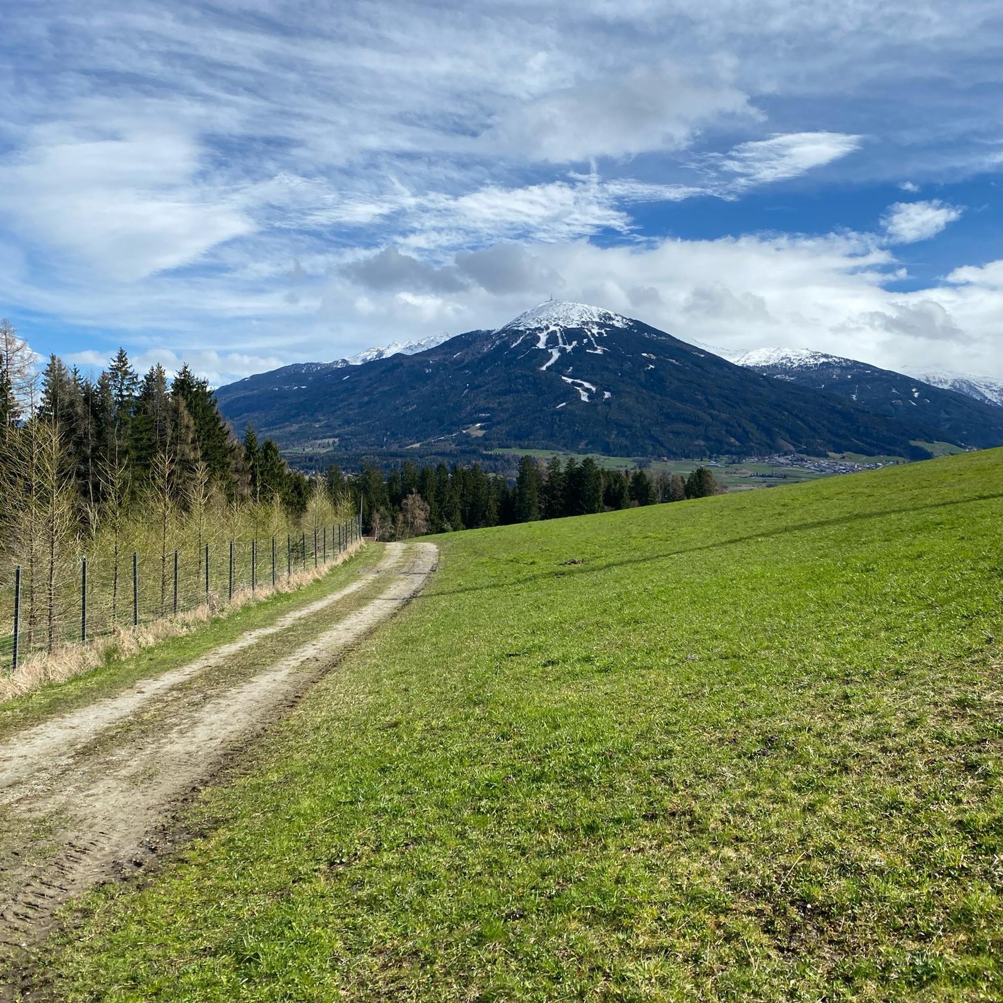
Mountaineering routes around Natters are situated within the majestic Tyrolean Alps, offering diverse alpine landscapes. The region is characterized by green valleys, dark forests, alpine meadows, and rugged high mountain ranges, with the prominent Patscherkofel mountain at its base. Proximity to the Karwendel Nature Park provides access to varied rock types, including limestone, gneiss, and granite, suitable for climbing. This area presents a range of elevations and terrains for mountaineering.
Best mountaineering routes around Natters
- The most popular mountaineering route…
Last updated: November 7, 2026
9
hikers
5.27km
03:00
530m
530m
Moderate mountaineering route. Good fitness required. Mostly walkable paths. Sure-footedness required.
5.0
(2)
90
hikers
9.49km
05:56
1,010m
1,010m
Hard mountaineering route. Very good fitness required. Sure-footedness, sturdy shoes and alpine experience required.

72
hikers
8.36km
04:00
670m
670m
Moderate mountaineering route. Good fitness required. Mostly walkable paths. Sure-footedness required.
5.0
(1)
30
hikers
12.2km
06:51
1,150m
1,150m
Hard mountaineering route. Very good fitness required. Sure-footedness, sturdy shoes and alpine experience required.
3.0
(1)
29
hikers
Hard mountaineering route. Good fitness required. Sure-footedness, sturdy shoes and alpine experience required.
Get access to more routes and recommendations from other explorers.
Already have an account?
Our route recommendations are based on thousands of hikes, rides, and runs completed by other people on komoot.
Start today with a free account
Your next adventure awaits.
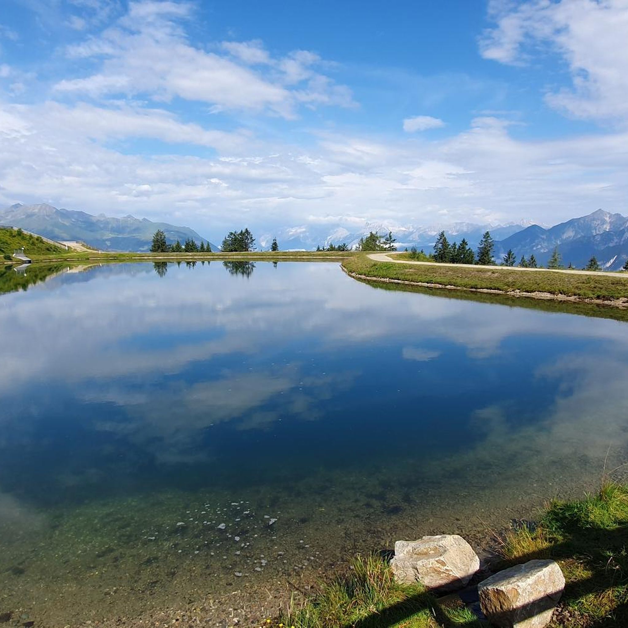
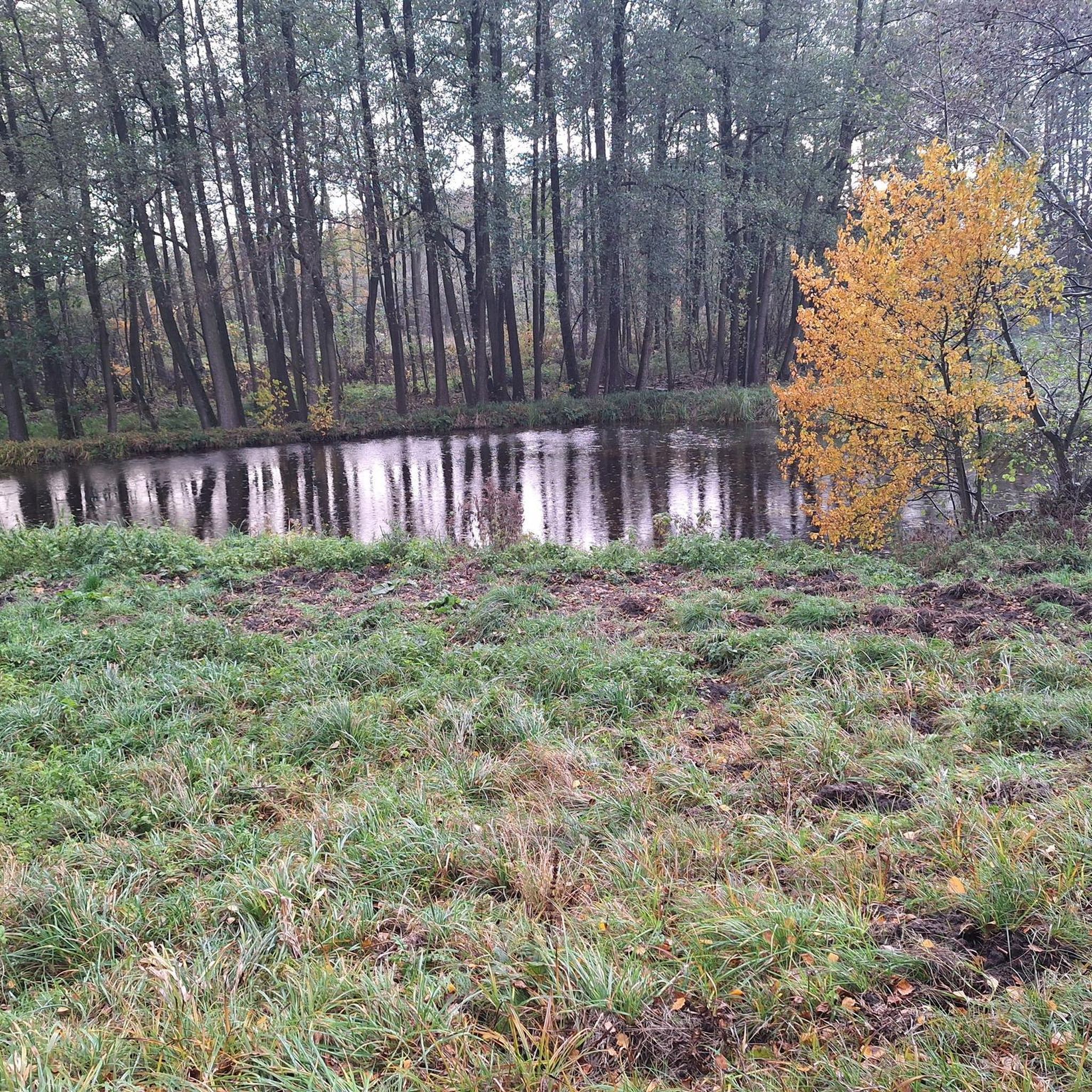
Tips from the Community

In May, the paths are partially extremely blocked by snow, it is better to start the tour in June. The snow partially thaws from below and caves form underneath, which can be dangerous.
0
1

On the way to Hals'l, you walk through entire gentian meadows. Highly recommended for Alpine flora lovers.
0
0
Here, you hike through entire gentian meadows on the way to Hals'l. It's a dream in early to mid-June. Highly recommended!
0
0

Highly frequented alpine hut for ski tourers, sledders, hikers and other fun-loving fellows with a beautiful sun terrace.
1
0

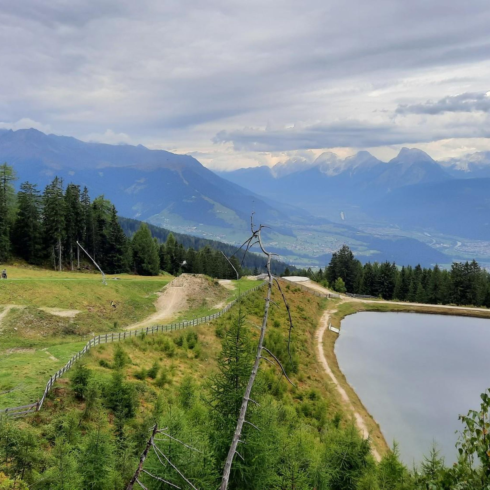
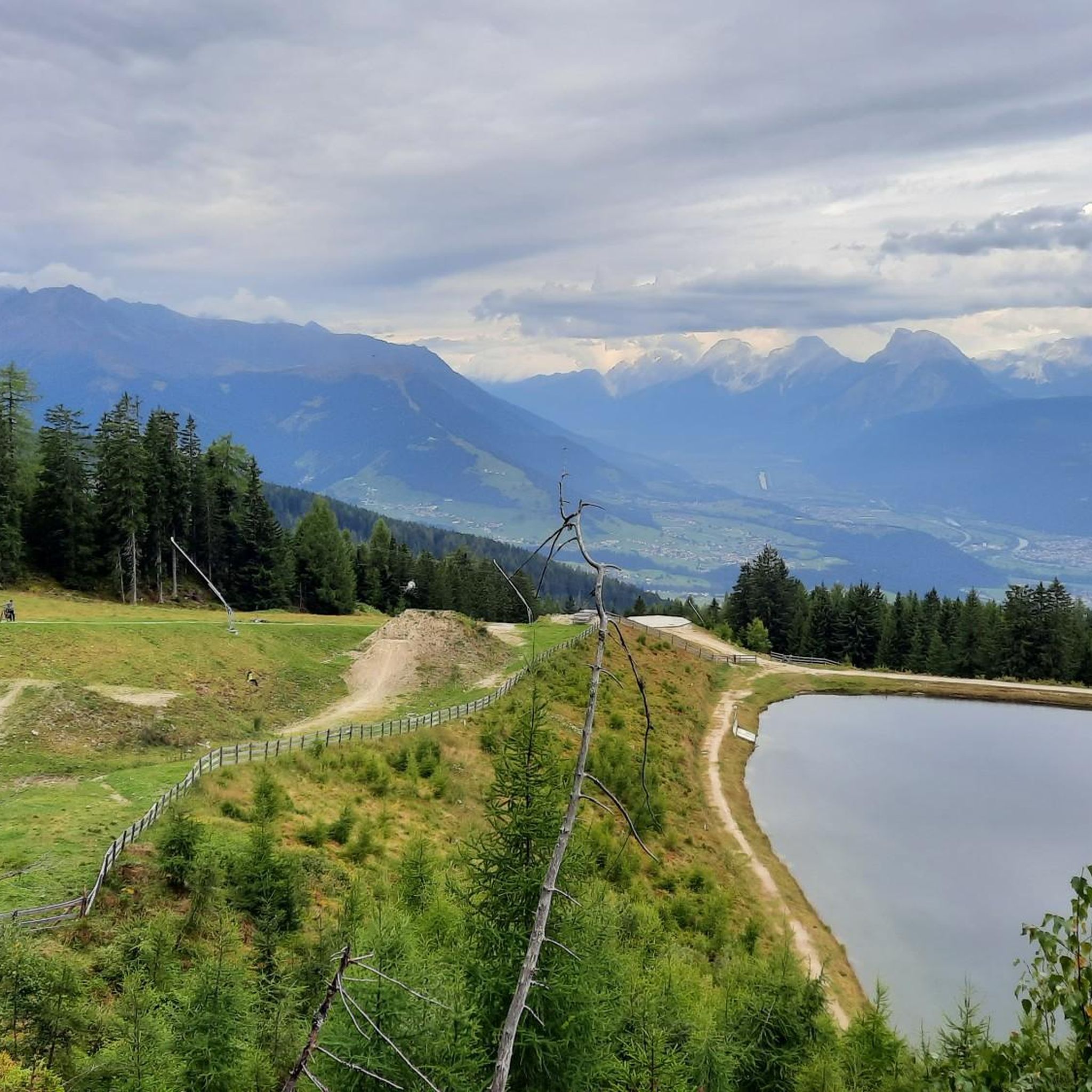
You can reach the Birgitzer Alm via great trails, but make sure that the paths are also used by hikers. From the Alm's sun terrace you have a great view of the Axamer Litzum and the Nockspitze while you treat yourself to a hearty snack. You can find more information and opening times here: https://www.birgitzeralm.at/.
2
1

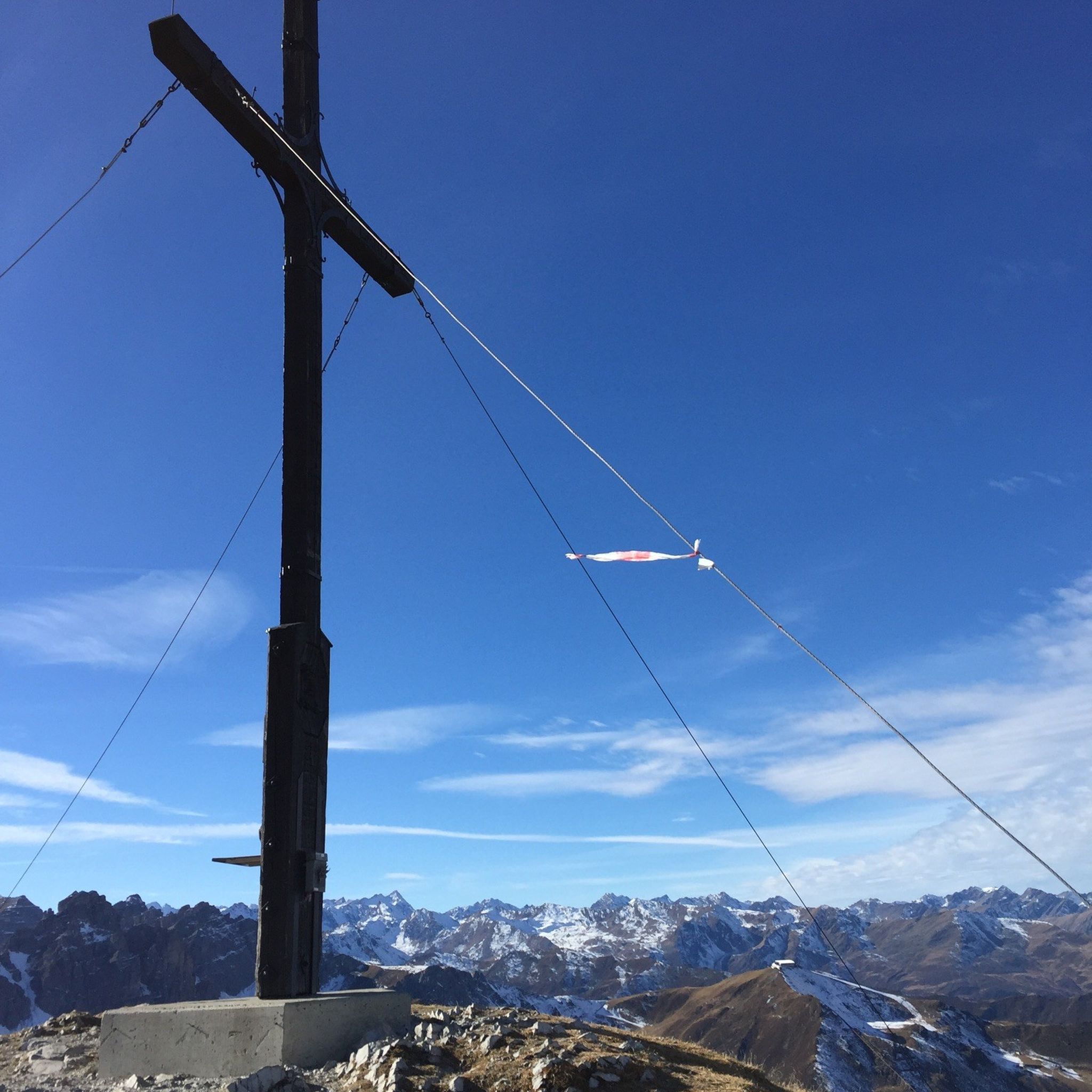
Absolutely fantastic views of the surrounding mountains and the Inn Valley await you from up here.
0
0

Open only until 4:00 PM. After that, it's extremely stressful and the wait times are very long.
1
1

The north side route is more challenging but also more beautiful.
0
0
Frequently Asked Questions
How many mountaineering routes are available around Natters?
Natters offers a wide array of mountaineering opportunities, with over 150 routes documented on komoot. These range from moderate ascents to challenging summit expeditions, catering to various skill levels.
What is the best time of year for mountaineering in Natters?
The best time for mountaineering in Natters is typically from late spring through early autumn, when trails are clear of snow and weather conditions are generally stable. However, the region offers year-round activities, with winter mountaineering possible for experienced individuals, often requiring specialized gear and knowledge of avalanche conditions.
Are there any family-friendly mountaineering options near Natters?
While many routes are challenging, Natters and the surrounding Innsbruck region offer an extensive hiking network with options suitable for families. These often include themed paths and trails with gentler gradients, providing a pleasant outdoor experience for all ages. Look for routes described as 'easy' or 'moderate' for suitable options.
Can I bring my dog on the mountaineering trails in Natters?
Many trails in the Natters region are dog-friendly, allowing you to enjoy the alpine scenery with your canine companion. However, it's always advisable to check local regulations and trail specific rules before heading out, especially concerning leash requirements and protected areas within the Karwendel Nature Park.
What kind of terrain can I expect on mountaineering routes around Natters?
Mountaineering routes around Natters traverse diverse terrain within the Tyrolean Alps. You'll encounter everything from green valleys and dark forests to alpine meadows and rugged high mountain ranges. The region's proximity to the Karwendel Nature Park also means varied rock types, including limestone, gneiss, and granite, offering a rich environment for climbing and scrambling.
Are there any circular mountaineering routes available?
Yes, Natters features several excellent circular mountaineering routes. For example, the Niederl Pass – Saile Summit (2404 m) loop from Axamer Lizum is a moderate 7.9 km path that offers stunning views and takes around 4 hours 30 minutes to complete.
What are some notable landmarks or viewpoints along the routes?
The region is rich in natural landmarks and viewpoints. You can find breathtaking vistas from summits like Patscherkofel Summit, which offers spectacular views over the Inn Valley. Other notable points include Hafelekar Peak and the Frau Hitt-Jöchl, providing extensive panoramas of the Tyrolean Alps.
How can I reach the trailheads using public transport?
Natters is well-connected to Innsbruck, just seven kilometers away. Public transportation, such as the Stubai Valley tram, connects Natters to Innsbruck, making it easier to access various trailheads in the wider region. Specific routes may have bus connections from nearby villages like Axams or Axamer Lizum.
Are there cafes or huts along the mountaineering routes?
Yes, you'll find mountain huts and cafes strategically located along many routes, offering opportunities for rest and refreshments. For instance, the Lanser Alpine Hut is a popular stop for hikers, providing a welcoming break amidst the alpine scenery.
What do other mountaineers enjoy most about the routes in Natters?
The mountaineering routes in Natters are highly rated by the komoot community, with an average score of 4.8 stars from over 260 reviews. Mountaineers frequently praise the diverse alpine landscapes, the challenging yet rewarding ascents, and the extensive views of the surrounding peaks, particularly from routes like the Höttinger Alm loop from Innsbruck.
Are there any beginner-friendly mountaineering routes?
While many routes are classified as difficult, Natters does offer some moderate options suitable for those with less experience or looking for a less strenuous climb. These routes still provide stunning alpine scenery without the extreme challenges of summit ascents. For example, the Summit Cross on the Zischgeles – Birgitzerköpfl Hut loop from Axams is a moderate 8.2 km trail.
Where can I find parking for the mountaineering trails?
Parking facilities are generally available at popular trailheads and villages surrounding Natters, such as Axamer Lizum and Axams. It's recommended to check specific route descriptions or local tourist information for detailed parking locations and any associated fees before your trip.
Most popular routes around Natters
Most popular attractions around Natters

Get inspired with the komoot mobile app


Explore more
Browse the best Mountain Hikes & Routes in other regions.
