The best running trails around Mötz
4.6
(362)
4,951
runners
203
runs
Jogging routes around Mötz are set within Austria's Inn Valley, offering a diverse landscape for runners. The region features a mix of river valleys, such as those formed by the Klammbach and Inn rivers, and elevated areas leading towards the Mieming Plateau. This provides varied terrain, from flatter paths suitable for easy runs to more challenging ascents into the surrounding mountains. The area's natural features include scenic viewpoints and a network of trails through forests and meadows.
Best jogging routes…
Last updated: October 5, 2026
5.0
(3)
45
runners
Moderate run. Good fitness required. Mostly paved surfaces. Suitable for all skill levels.
5.0
(1)
19
runners
5.14km
00:37
110m
110m
Moderate run. Good fitness required. Mostly paved surfaces. Suitable for all skill levels.

5.0
(1)
18
runners
12.3km
01:17
50m
50m
Moderate run. Good fitness required. Mostly paved surfaces. Suitable for all skill levels.
32
runners
7.97km
01:03
240m
240m
Hard run. Good fitness required. Sure-footedness, sturdy shoes and alpine experience required.
3.0
(1)
15
runners
8.57km
00:54
20m
20m
Moderate run. Good fitness required. Mostly paved surfaces. Suitable for all skill levels.
Get access to more routes and recommendations from other explorers.
Already have an account?
Our route recommendations are based on thousands of hikes, rides, and runs completed by other people on komoot.
Start today with a free account
Your next adventure awaits.
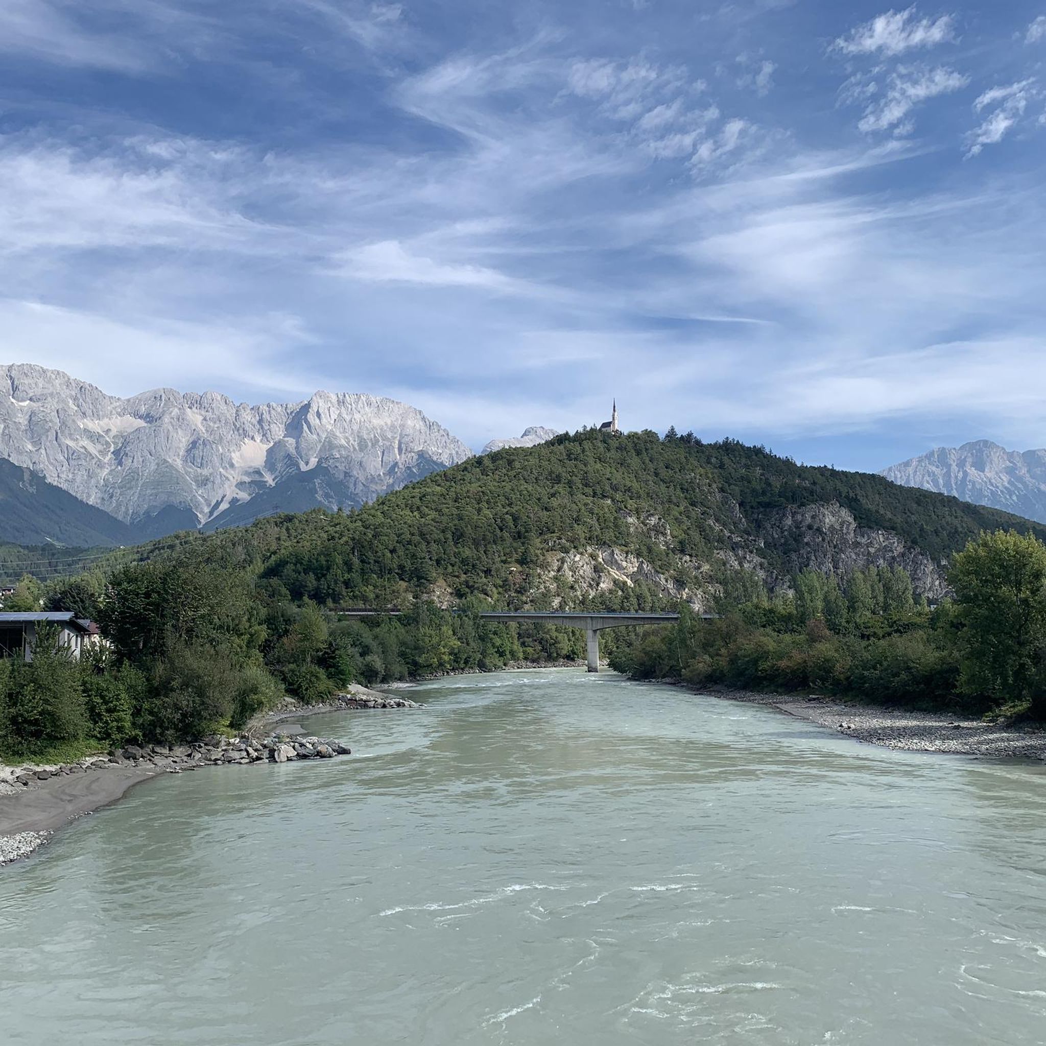
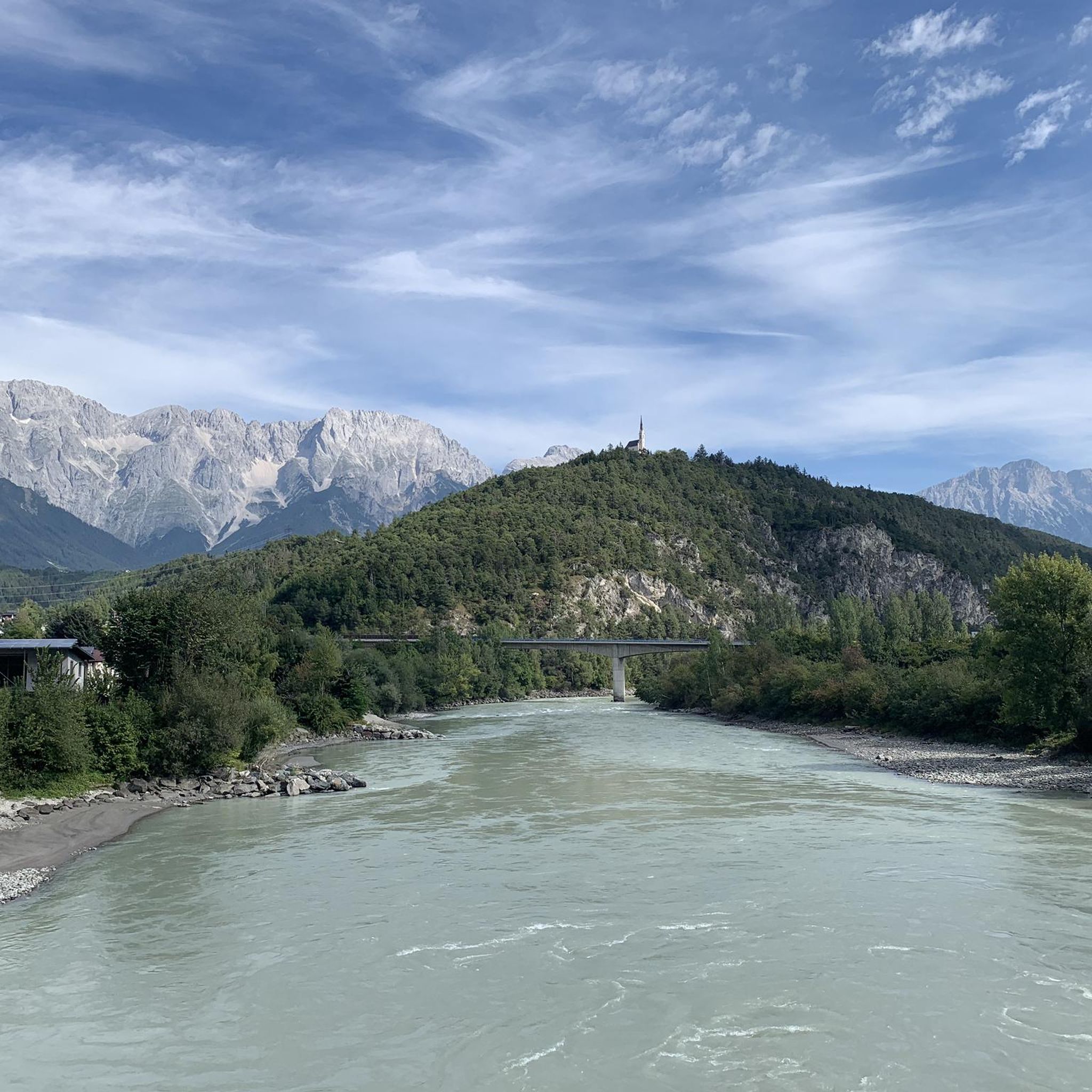
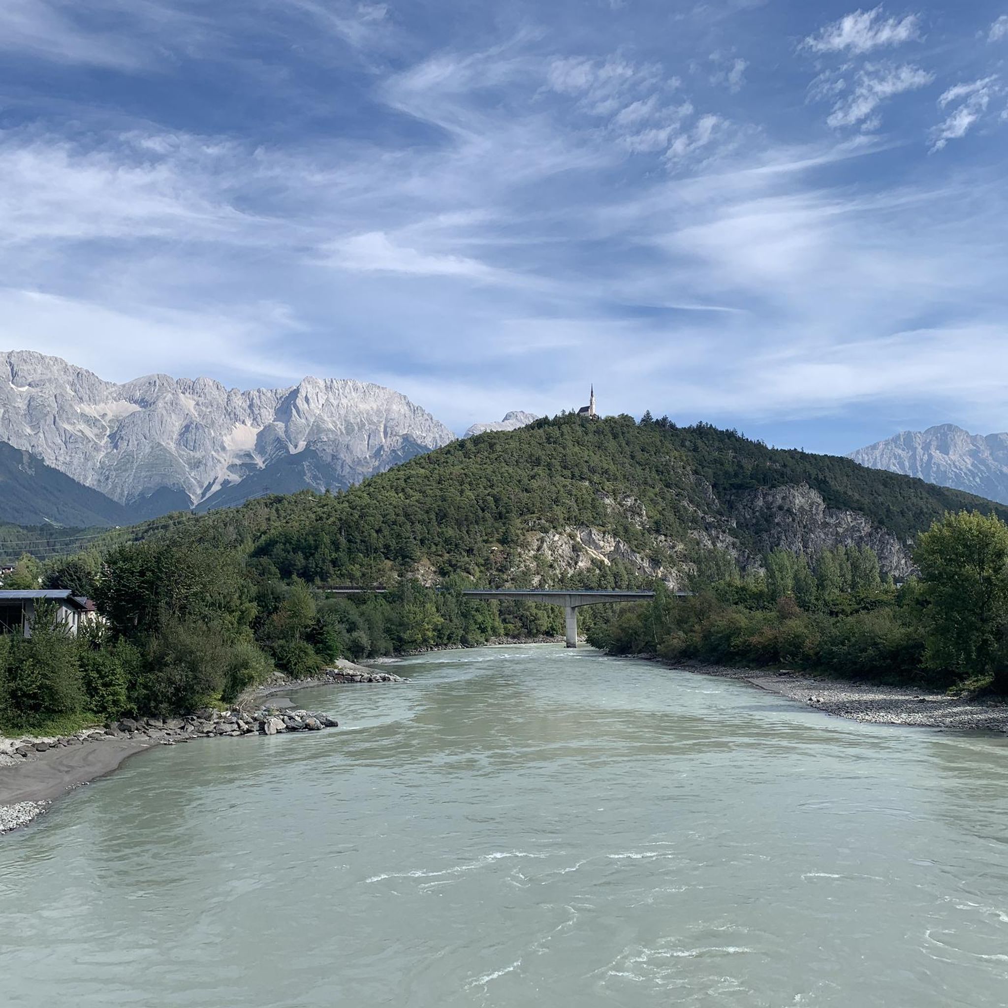
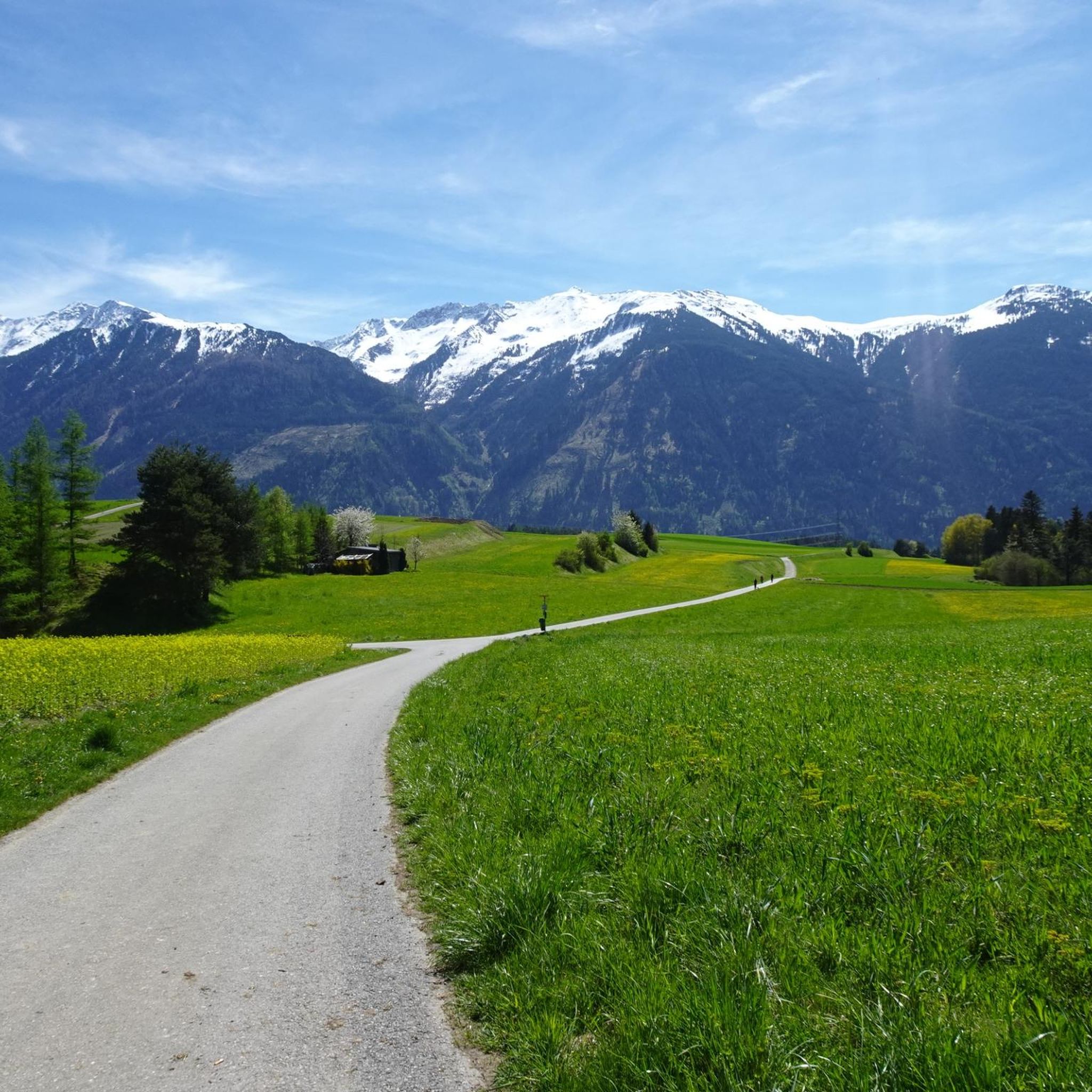
Tips from the Community

With the (gravel) bike, you can follow the unpaved road from Holzleiten to Telfs. You have a continuous view of the mountain range, which is truly phenomenal. Definitely recommended and a nice alternative to the busier paved route.
0
0

The bridge is currently closed.
1
0
The bridge is closed indefinitely due to defects.
0
0

History of the Cistercian Monastery of Stams The Cistercian Monastery of Stams was founded in 1272 by Count Meinhard II of Gorizia-Tyrol as a burial place for the Tyrolean princes in memory of the last Hohenstaufen dynasty, Conradin, and settled a year later. The monastery's Baroque and Rococo furnishings date from between 1650 and 1750. A monastery school has been documented since the 17th century. The monastery was dissolved in 1807 and re-established in 1816 under Emperor Francis I. In 1938, the foundation was dissolved again by the Nazi regime. A new beginning was made in 1945. Monks from the Cistercian monastery of Stična (Parakeet) in Slovenia made a significant contribution to the abbey's revival. Text / Source: MEDIA OFFICE OF THE RELIGIOUS ORDER ORDERS AUSTRIA, Vienna https://www.ordensgemeinschaften.at/portal/ordensgemeinschaften/ordenswiki/address/589.html#:~:text=The Cistercian monastery of Stams was founded in 1272 by Count Meinhard and dates back to the period between 1650 and 1750.
18
1
The History of Stams Abbey The first documented mention of "Stambs" dates back to 1065, when a document describes a fiefdom of the noble family of Wangen in the central Inn Valley, with a settlement and a much-visited pilgrimage church dedicated to Saint John the Baptist. Stams Abbey was founded in 1273, when the founding convent, led by the first abbot, Heinrich von Honstetten, moved into Stams. Count Meinhard II of Gorizia-Tyrol had intended to establish a monastery here some time before, which would henceforth serve as the burial place of the Counts of Gorizia-Tyrol. The popular legend surrounding the founding of the monastery is now considered historically refuted, but it clearly demonstrates the connections of the Counts of Tyrol and their class consciousness: It states that the founding of the monastery was due to the gruesome death of the last Hohenstaufen, Conradin (beheaded in Naples in 1268). Conradin's mother, Elisabeth of Wittelsbach (d. 1273, her first marriage to the Hohenstaufen King Conrad IV), is said to have asked her husband, Count Meinhard II, to establish a memorial for her unfortunate son ("Mors Conradini – Vita Stamsii"). The mother monastery, the Cistercian monastery of Kaisheim (north of Donauwörth in Bavaria), was closed at the beginning of the 19th century as part of the secularization process. Text / Source: Association of Tyrolean Rifle Companies, Brixner Straße 1 / 6th floor, A-6020 Innsbruck https://www.tiroler-schuetzen.at/tirol_lexikon/stift-stams/
18
1

The suspension bridge, which crosses the Inn River, has a 107-meter span. It is one of the most beautiful bridges in Tyrol. From there, a popular hiking trail leads to the Maria Locherboden pilgrimage church and the Mieming Plateau.
0
0

and the chamois have already got used to the Baiker
1
0
Frequently Asked Questions
How many running routes are available around Mötz?
Mötz offers a wide selection of running routes, with over 195 trails to explore. These range from easy, flat paths to more challenging runs with significant elevation gain, catering to various fitness levels.
What kind of terrain can I expect on running trails in Mötz?
The running trails in Mötz feature diverse terrain. You'll find paths winding through the picturesque Inn Valley, alongside rivers like the Inn and Klammbach, and through meadows and forests. Some routes also lead towards the Mieming Plateau, offering more undulating or uphill sections.
Are there easy running routes suitable for beginners in Mötz?
Yes, Mötz has several easy running routes perfect for beginners or those seeking a relaxed jog. There are 17 easy routes, often featuring gentler gradients along river valleys and through accessible paths in meadows and forests.
Can I find challenging running routes with significant elevation in Mötz?
Absolutely. For runners looking for a challenge, Mötz offers 61 difficult routes. An example is the Inn bridge Mötz loop from Stams, an 8.3-mile (13.3 km) path with substantial elevation gain, providing a demanding experience near the Inn river.
Are there circular running routes available in Mötz?
Yes, many running routes around Mötz are designed as loops, allowing you to start and finish in the same location. A popular option is the View of the Mieminger Plateau – View of the Mieminger Kette loop from Obsteig, which is 6.2 miles (9.9 km) long and offers scenic views.
What natural attractions can I see along the running routes in Mötz?
The region around Mötz is rich in natural beauty. You can find routes that offer views of stunning alpine lakes like Lake Seebensee and Drachensee. The wildly romantic Klamm Gorge, with its rushing waterfall, also provides a dramatic backdrop for some runs, though sections might be more suited for trail running.
Are there any historical landmarks or points of interest to discover while running?
Yes, Mötz is situated along historically significant routes. You can jog along sections of the ancient Fernpass Trail, which was part of the Roman Via Claudia Augusta. Additionally, a run to the Maria Locherboden Pilgrimage Church, perched on a rock spur above Mötz, offers panoramic views and a cultural experience.
What do other runners say about the trails in Mötz?
The running trails in Mötz are highly regarded by the komoot community, with an average rating of 4.6 stars from over 260 reviews. Runners often praise the varied terrain, from gentle riverside paths to more demanding trails with elevation, and the stunning Tyrolean scenery.
Are the running trails in Mötz suitable for families?
Many of the easier routes in Mötz, particularly those along the Inn Valley through meadows and forests, are suitable for families. These paths often have gentle gradients and provide a pleasant environment for a family jog or walk.
Is parking available near the running routes in Mötz?
Yes, many trailheads and starting points for running routes in and around Mötz offer convenient parking options. It's advisable to check specific route details for precise parking information.
Can I bring my dog on the running trails around Mötz?
Generally, dogs are welcome on many of the running trails in the Mötz region. However, it's always recommended to keep dogs on a leash, especially in nature protection areas or near livestock, and to check local regulations for specific routes.
What is the best time of year to go running in Mötz?
The spring, summer, and autumn months generally offer the best conditions for running in Mötz, with pleasant temperatures and accessible trails. While winter running is possible, some higher-altitude or less maintained paths might be covered in snow or ice, requiring appropriate gear.
Most popular attractions around Mötz

Get inspired with the komoot mobile app


Explore more
Browse the best Running Trails & Routes in other regions.
