The best mountain hikes around Itter
4.8
(152)
1,633
hikers
81
hikes
Mountaineering routes around Itter are situated within the mountainous landscape of Bezirk Kitzbühel, offering diverse alpine terrain. The region features prominent peaks, forested slopes, and open alpine meadows, providing a varied environment for ascents. Elevations range significantly, with routes often leading to panoramic viewpoints. The area is characterized by its natural beauty and well-established trail networks.
Best mountaineering routes around Itter
- The most popular mountaineering route is Lengauer via ferrata (A/B) – Pölven Cross loop from Söll, a difficult…
Last updated: July 22, 2026
4.8
(5)
58
hikers
10.7km
04:59
850m
850m
Hard mountaineering route. Good fitness required. Sure-footedness, sturdy shoes and alpine experience required.
23
hikers
5.90km
03:47
790m
790m
Hard mountaineering route. Good fitness required. Sure-footedness, sturdy shoes and alpine experience required.

Sign up for free
9
hikers
16.5km
06:12
1,100m
1,100m
Hard mountaineering route. Very good fitness required. Mostly accessible paths. Sure-footedness required.
5.0
(3)
16
hikers
17.8km
06:19
1,060m
1,060m
Hard mountaineering route. Very good fitness required. Easily-accessible paths. Suitable for all skill levels.
5.0
(1)
15
hikers
11.4km
04:50
840m
840m
Moderate mountaineering route. Good fitness required. Mostly accessible paths. Sure-footedness required.
Get access to more routes and recommendations from other explorers.
Sign up for free
Already have an account?
Our route recommendations are based on thousands of hikes, rides, and runs completed by other people on komoot.
Start today with a free account
Your next adventure awaits.
Login or Signup
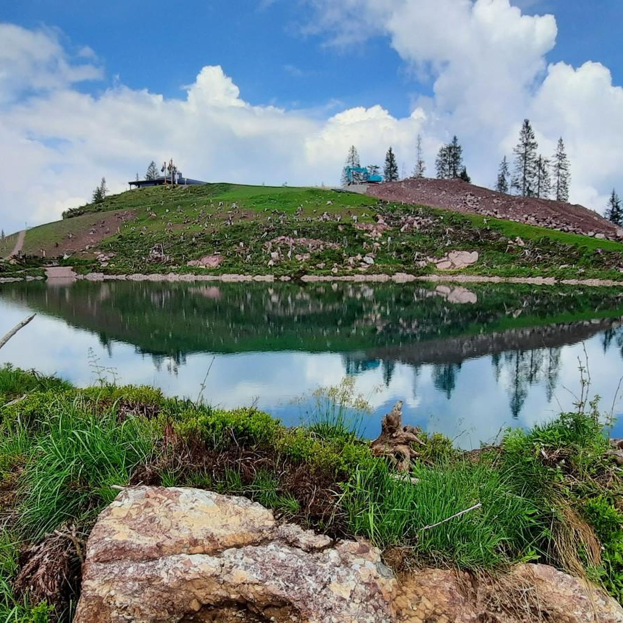
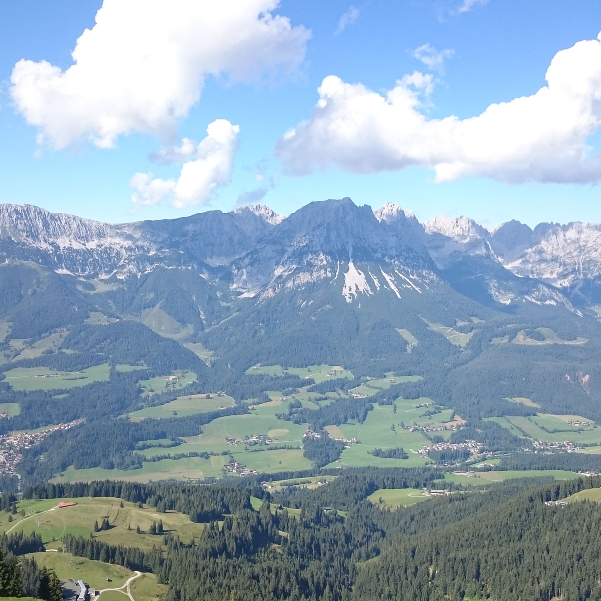
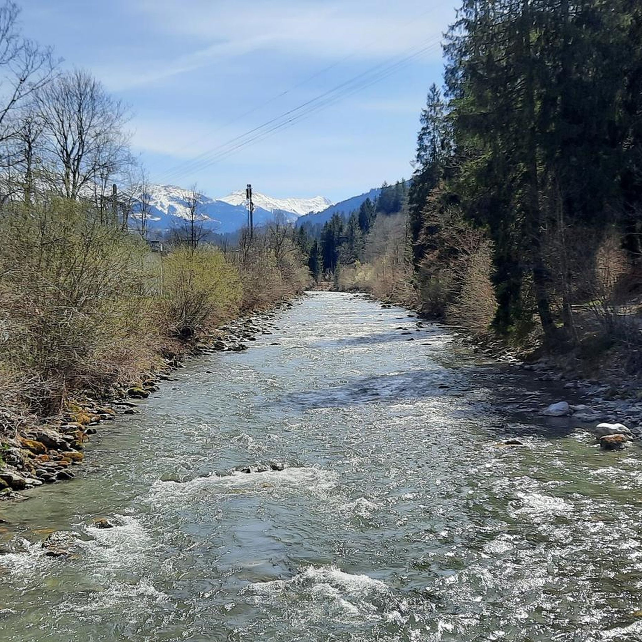
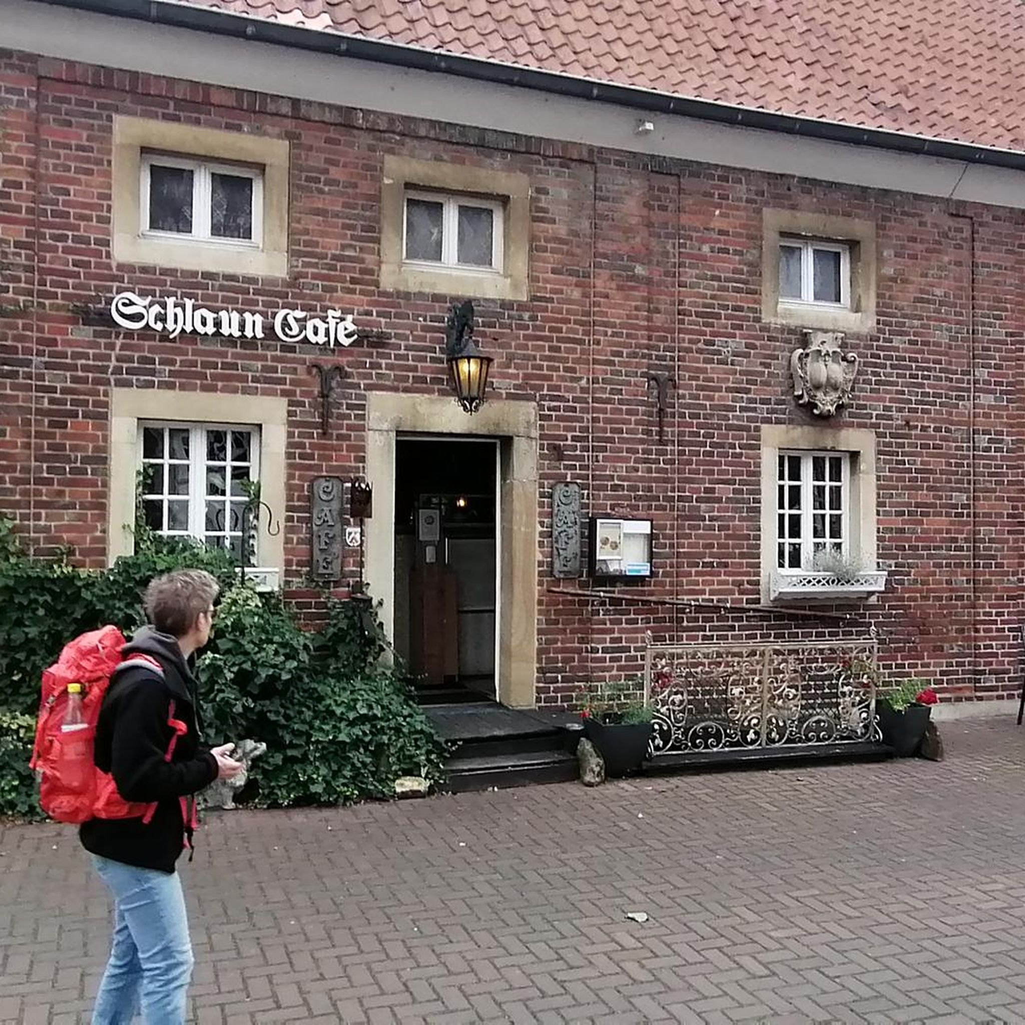


Tips from the Community

Great long-distance views from up here.
0
0

The pilgrimage chapel of St. John on the Hohe Salve, also known as Salvenkirchl, is located on the summit of the Hohe Salve (1829 m above sea level) in the Kitzbühel Alps in Tyrol, within the municipality of Westendorf, and is considered the highest pilgrimage church in Austria.[1] It is a branch church of the parish and deanery church in Brixen im Thale and is dedicated to St. John the Baptist.
0
0
One of the highest elevations in the region
0
0
Not far from Kraftalm, Hexenwasser and Hohe Salve
1
0
With beautiful views and a nice outdoor area
0
0

Great food and drinks, beautiful views, and friendly service. The climb was worth it.
0
0

Beautiful local recreation area. Definitely worth a visit 😉.
2
0

The hike from Mittagskogel to here is quite arduous, as you initially lose a considerable amount of elevation, which you then have to climb back up. But the view is more than worth it. The Wilder Kaiser, Großglockner, Großvenediger, and the rest are absolutely stunning, and the various benches and seating areas definitely invite you to linger!
1
0
Frequently Asked Questions
How many mountaineering routes are available around Itter?
There are nearly 100 mountaineering routes around Itter, offering a wide range of options for different skill levels. You'll find everything from moderate ascents to more challenging high-alpine trails.
Are there any easy mountaineering routes suitable for beginners in Itter?
Yes, Itter offers a few easier mountaineering routes perfect for beginners or those looking for a less strenuous experience. While the majority are moderate to difficult, you can find routes that provide a gentle introduction to the region's alpine beauty.
What are some family-friendly options for mountaineering around Itter?
For families, routes that incorporate attractions like Witches' Water, Hochsöll – Hexenwasser Söll – Hohe Salve loop from Söll can be particularly engaging. These often combine natural beauty with points of interest that appeal to younger adventurers, though always check the route's difficulty and length to ensure it suits your family's capabilities.
Are there circular mountaineering routes in the Itter area?
Many of the mountaineering routes around Itter are designed as circular loops, allowing you to start and end at the same point. Examples include the challenging Lengauer via ferrata (A/B) – Pölven Cross loop from Söll or the scenic Church on Hohe Salve – Hohe Salve Summit (1829 m) loop from Hopfgarten Berglift.
What kind of natural attractions can I expect to see along mountaineering routes near Itter?
The region boasts diverse natural attractions. You might encounter stunning lakes like Hintersteiner See, dramatic features such as the Lower Rehbach Gorge, or panoramic viewpoints offering vistas of the Wilder Kaiser mountain range, like the View of the Wilder Kaiser from Ellmau.
What do other mountaineers enjoy most about the routes in Itter?
The mountaineering routes in Itter are highly rated by the komoot community, with an average score of 4.8 stars. Reviewers often praise the diverse alpine terrain, the well-established trail networks, and the rewarding panoramic views from prominent peaks like Hohe Salve.
Are there any routes that lead to a summit cross or significant viewpoint?
Absolutely. Many routes in the Itter area lead to impressive summits and viewpoints. For instance, you can reach the Pendling Summit Cross or enjoy expansive views from the Hohe Salve Summit, which offers a 360-degree panorama.
What is the best time of year for mountaineering in Itter?
The best time for mountaineering in Itter is typically from late spring to early autumn (May to October), when the weather is generally stable, and trails are clear of snow. Always check local weather forecasts and trail conditions before heading out, especially in shoulder seasons.
Are there any mountaineering routes that include a via ferrata section?
Yes, for those seeking a more challenging experience, the Itter region offers routes with via ferrata sections. A notable example is the Lengauer via ferrata (A/B) – Pölven Cross loop from Söll, which provides an exhilarating climb with fixed ropes and ladders.
Can I find routes that offer views of the Hohe Salve summit?
Many routes in the Itter area provide excellent views of the iconic Hohe Salve. Some even lead directly to the summit, such as the challenging Sunnseit Hütte – Hohe Salve Summit (1829 m) loop from Hopfgarten Berglift, allowing you to experience its grandeur up close.
Are there any hidden gem mountaineering trails around Itter that are less crowded?
While specific 'hidden gems' are often discovered through local knowledge, exploring some of the less-trafficked moderate routes or those slightly further from the main hubs can offer a quieter experience. Look for routes that don't explicitly mention popular attractions to find more serene paths.
What are the typical elevations and terrain like on mountaineering routes in Itter?
Mountaineering routes around Itter feature significant elevation changes, often leading to panoramic viewpoints. The terrain is varied, encompassing forested slopes, open alpine meadows, and rocky sections, characteristic of the mountainous landscape of Bezirk Kitzbühel.
Most popular attractions around Itter

Get inspired with the komoot mobile app


Explore more
Browse the best Mountain Hikes & Routes in other regions.
