The best mountain hikes around Kematen in Tirol
4.8
(258)
3,347
hikers
118
hikes
Mountaineering routes around Kematen in Tirol traverse a diverse alpine landscape, characterized by rugged peaks, deep valleys, and dense forests. The region offers a variety of challenging ascents and scenic paths, with elevations ranging significantly across the terrain. This area provides ample opportunities for exploring the natural beauty of the Tyrolean Alps, featuring both high-alpine environments and lower-lying forested sections.
Best mountaineering routes around Kematen in Tirol
- The most popular mountaineering route is Garbersalm – Solsteinhaus loop from Hochzirl,…
Last updated: July 21, 2026
4.9
(9)
98
hikers
14.5km
06:10
990m
990m
Hard mountaineering route. Very good fitness required. Mostly accessible paths. Sure-footedness required.
4.6
(8)
85
hikers
3.33km
02:09
350m
350m
Hard mountaineering route. Good fitness required. Sure-footedness, sturdy shoes and alpine experience required.

Sign up for free
4.6
(5)
32
hikers
13.5km
05:36
930m
930m
Hard mountaineering route. Very good fitness required. Mostly accessible paths. Sure-footedness required.
23
hikers
12.6km
05:26
1,020m
1,020m
Hard mountaineering route. Very good fitness required. Mostly accessible paths. Sure-footedness required.
22
hikers
15.8km
05:43
1,000m
1,000m
Hard mountaineering route. Very good fitness required. Easily-accessible paths. Suitable for all skill levels.
Get access to more routes and recommendations from other explorers.
Sign up for free
Already have an account?
Our route recommendations are based on thousands of hikes, rides, and runs completed by other people on komoot.
Start today with a free account
Your next adventure awaits.
Login or Signup
Tips from the Community

Great view of Innsbruck and the Stubai Alps
0
0

Cozy hut, limited power supply for charging phones, etc.
0
0

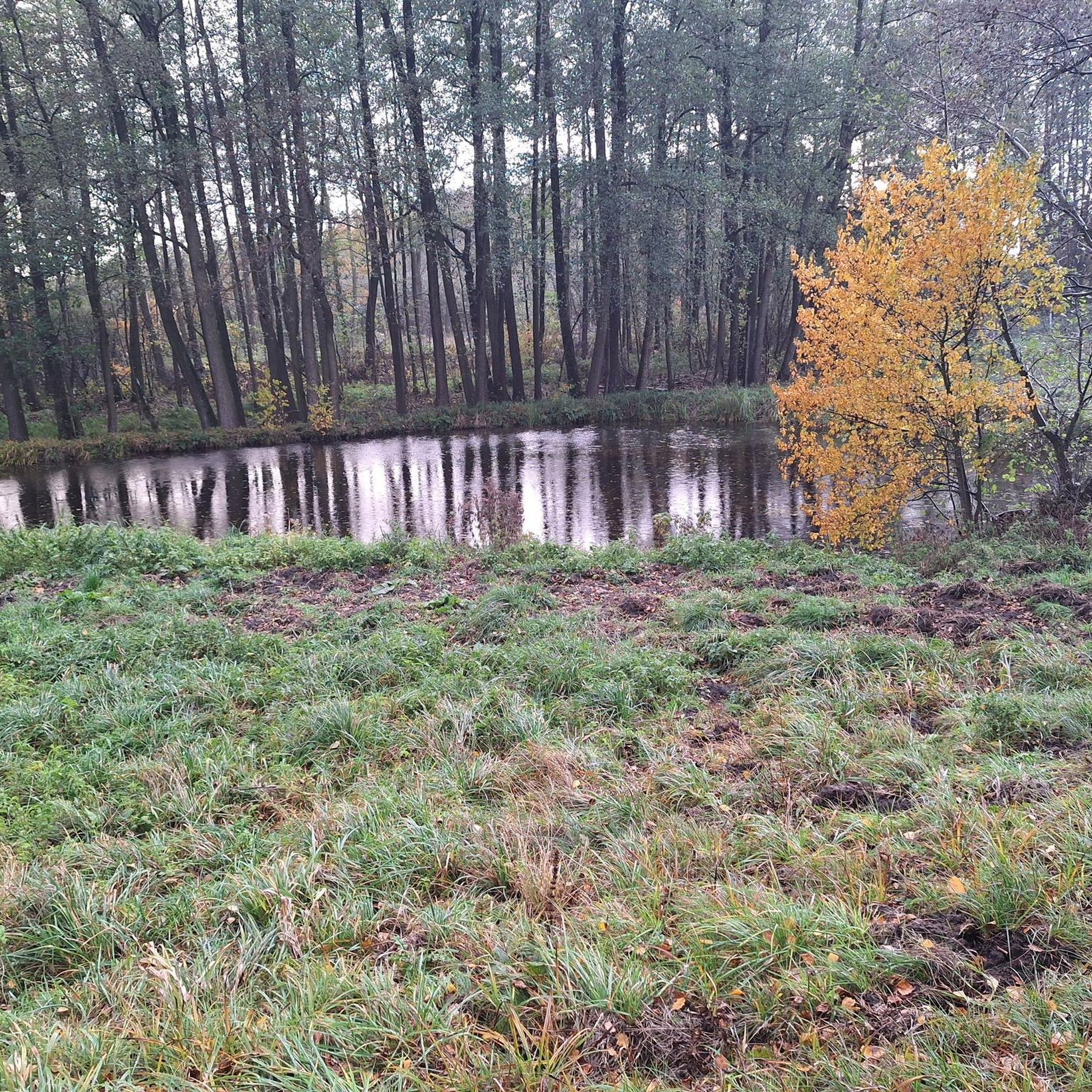
Very beautiful reflections in the water, but definitely plan for the midday sun, as the optimal photo won't look quite as good then ☺️
0
0

The lake isn't (!) ideal for swimming, even after a strenuous climb – pack plenty of drinking water! The lake has little to no natural inflow and is therefore very dirty. However, in calm conditions, it offers beautiful photo opportunities, for example, of the reflection of the Kalkkögel in the afternoon/evening sun.
1
0
A truly unique view of Innsbruck, the Inn Valley, the Zugspitze and Norkette ranges, the Patscherkofel, and more. It's especially lovely to share the meadow with cows and horses! Even after a strenuous climb, the lake isn't (!) ideal for swimming – pack plenty of drinking water! The lake has little or no natural inflow and is therefore very dirty.
0
0
Lots of cute farm animals, and a small fridge sells cheese and eggs from the farm, so having the right cash on you will be a joy :)
0
0
A very lovingly run hut, ideally located for various hikes and climbs. Many guests have stayed here several nights to enjoy more flexibility with minimal luggage. We felt very comfortable on our hut hike. The highlight is probably the food, which is incredibly delicious and fresh!
0
0

Once you reach the grotto, you'll have a magnificent view. You'll need a head for heights and surefootedness. A thrill guaranteed.
3
0
Frequently Asked Questions
How many mountaineering routes are available around Kematen in Tirol?
There are over 120 mountaineering routes around Kematen in Tirol, offering a wide range of options for different skill levels and preferences.
Are there any easy mountaineering routes suitable for beginners or families in Kematen in Tirol?
While many routes are challenging, there is at least one easy mountaineering route available. For those seeking a less strenuous experience, consider exploring the region's numerous hiking trails which often offer gentler ascents and family-friendly options.
What is the typical duration and distance for mountaineering trails in this region?
Mountaineering trails around Kematen in Tirol vary significantly. For example, the Kaiser Max Cave loop from Kematen in Tirol is a shorter, challenging route at 2.2 miles (3.5 km) taking about 1 hour 50 minutes. Longer, more demanding tours like the Garbersalm – Solsteinhaus loop from Hochzirl span 9.0 miles (14.4 km) and can take nearly 6 hours.
What kind of advanced mountaineering ascents can I find near Kematen in Tirol?
The region is well-known for its challenging ascents, with 84 difficult mountaineering routes. These often involve significant elevation gain and rugged terrain, providing a demanding experience for experienced mountaineers. An example is the Figl Summit Cross – Salfeiner See and Kalkkögel loop from Grinzens, which features over 1000 meters of elevation gain.
What is the best time of year for mountaineering in Kematen in Tirol?
The prime season for mountaineering in Kematen in Tirol typically runs from late spring through early autumn (May to October). During these months, trails are generally free of snow at lower to mid-altitudes, and weather conditions are more stable. Always check local weather forecasts and trail conditions before heading out.
Are there any circular mountaineering routes available?
Yes, many mountaineering routes in the area are designed as loops, allowing you to start and end at the same point. Examples include the Garbersalm – Solsteinhaus loop from Hochzirl and the Ehnbachklamm Gorge – Magdeburger Hut loop from Hochzirl.
What can I see along the mountaineering routes in Kematen in Tirol?
Along the routes, you can discover various natural and man-made attractions. The region features dramatic gorges such as the Mühlauer Gorge and the Schlossbachklamm Gorge. You might also encounter alpine huts like the Arzler Alm or the Möslalm, perfect for a rest or refreshment.
Are mountaineering trails in Kematen in Tirol dog-friendly?
Generally, dogs are welcome on mountaineering trails in the Tyrolean Alps. However, it's always advisable to keep them on a leash, especially in areas with livestock or wildlife, and to ensure they are well-behaved and physically capable of handling the terrain. Always carry water for your dog.
Are there good viewpoints along the mountaineering routes?
Many mountaineering routes in Kematen in Tirol offer spectacular panoramic views of the surrounding Tyrolean Alps. The rugged peaks and deep valleys naturally provide numerous vantage points. For instance, the Drachenfelsen viewing platform above the Sill Gorge is a notable highlight for breathtaking vistas.
What do other mountaineers enjoy most about the routes in Kematen in Tirol?
The mountaineering routes in Kematen in Tirol are highly rated by the komoot community, with an average score of 4.8 stars from over 270 reviews. Reviewers often praise the diverse alpine landscape, the challenging ascents, and the rewarding panoramic views from the summits and high-altitude sections.
Are there any huts or places to stop for refreshments along the trails?
Yes, the region features several alpine huts and mountain stations where you can stop for a break, enjoy a meal, or even stay overnight. Notable options include the Rosshütte Mountain Station, the Rauschbrunnen Alpine Inn, and the Adolf Pichler Hut, which is part of a popular loop from Grinzens.
How accessible are the trailheads by public transport or car?
Many trailheads in the Kematen in Tirol area are accessible by car, often with designated parking areas. Public transport, such as regional buses, also serves some of the villages and starting points, making it possible to reach various routes without a car. It's recommended to check specific route descriptions for detailed access information.
Most popular routes around Kematen in Tirol
Most popular attractions around Kematen in Tirol

Get inspired with the komoot mobile app


Explore more
Browse the best Mountain Hikes & Routes in other regions.
