The best mountain hikes around Kaisers
4.8
(523)
3,404
hikers
133
hikes
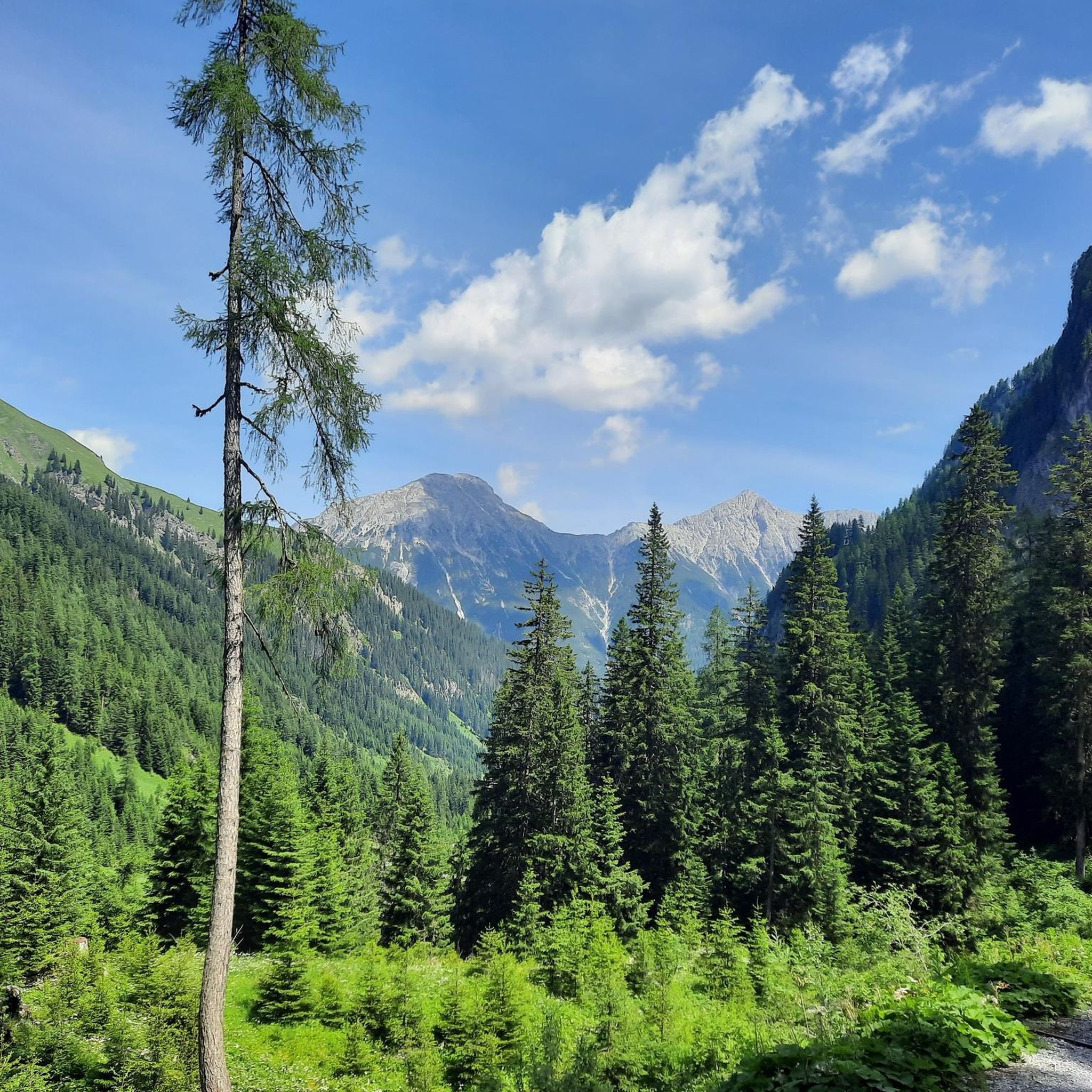
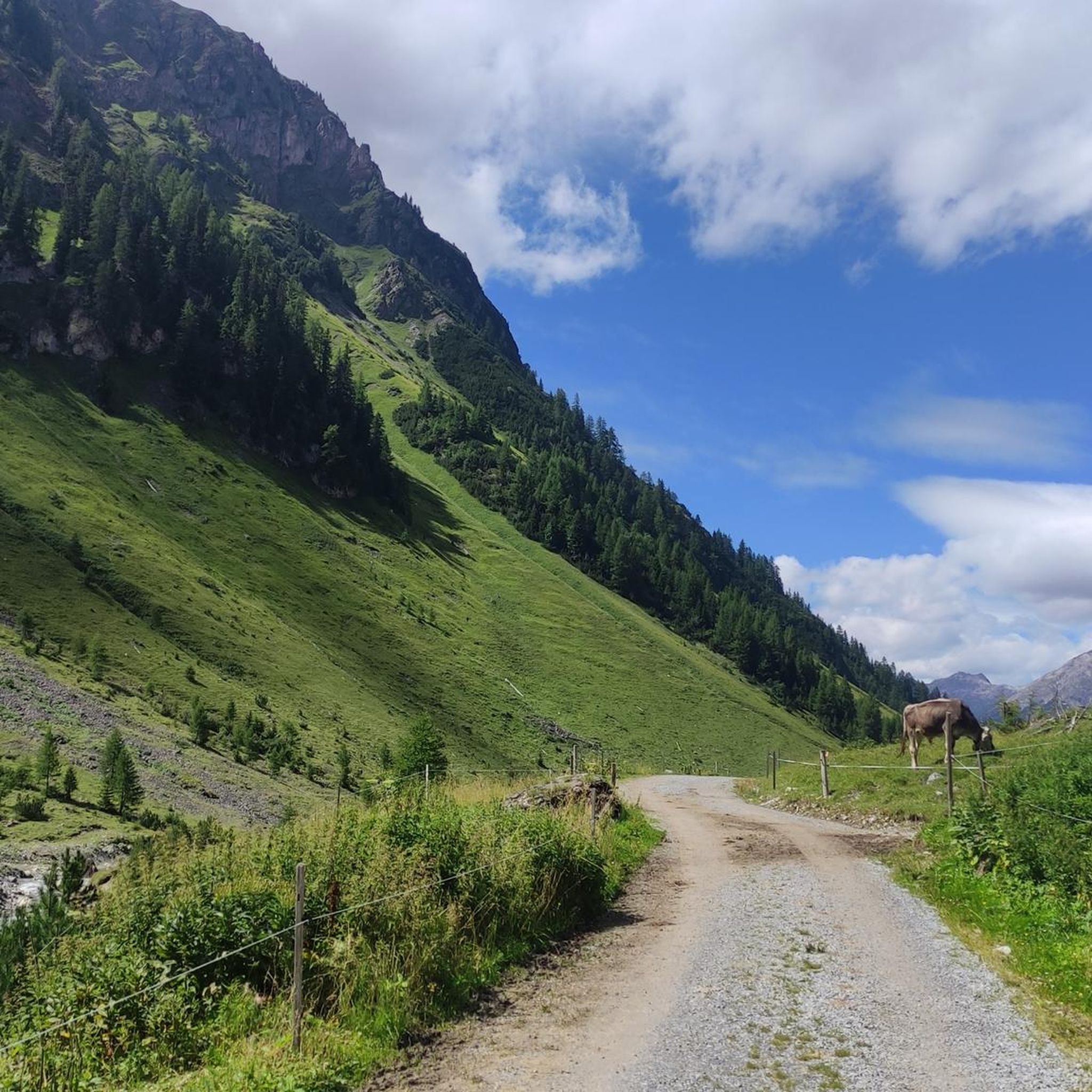
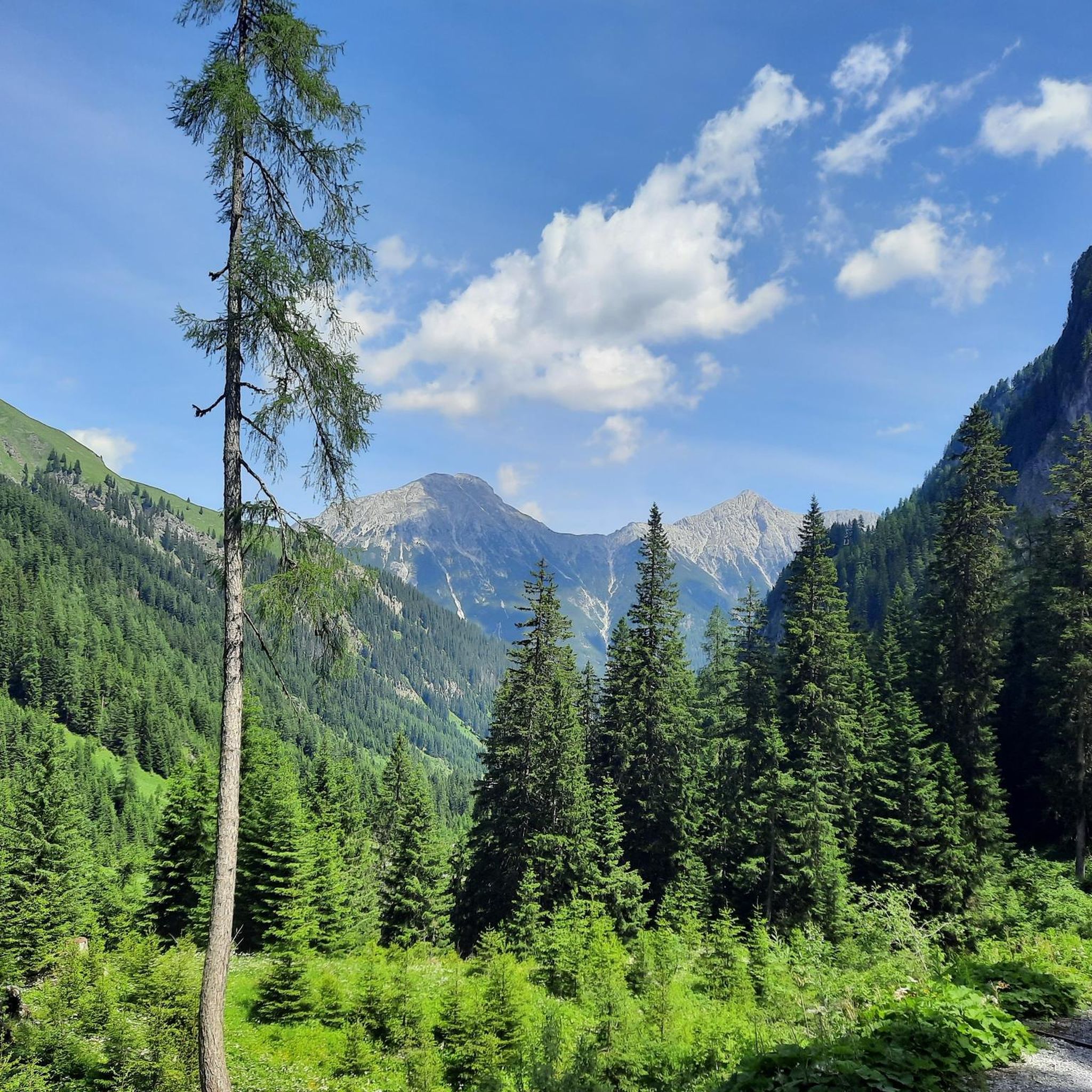
Mountaineering around Kaisers offers a diverse alpine landscape in the Lechtal Alps, characterized by rugged peaks, deep valleys, and high-altitude trails. The region features a mix of challenging ascents and scenic traverses, providing varied terrain for experienced mountaineers. Alpine meadows and coniferous forests are common at lower elevations, transitioning to rocky slopes and exposed ridges as elevation increases.
Best mountaineering routes around Kaisers
- The most popular mountaineering route is View from Memminger Hut – Memminger Hut loop from Memminger Hütte…
Last updated: July 21, 2026
5.0
(7)
59
hikers
7.31km
04:21
780m
770m
Moderate mountaineering route. Good fitness required. Mostly accessible paths. Sure-footedness required.
5.0
(4)
32
hikers
9.05km
04:26
660m
660m
Moderate mountaineering route. Good fitness required. Mostly accessible paths. Sure-footedness required.

Sign up for free
5.0
(1)
23
hikers
15.4km
05:14
590m
600m
Hard mountaineering route. Very good fitness required. Mostly accessible paths. Sure-footedness required.
5.0
(1)
29
hikers
13.9km
06:55
800m
800m
Hard mountaineering route. Very good fitness required. Sure-footedness, sturdy shoes and alpine experience required.
5.0
(4)
20
hikers
7.07km
04:20
380m
380m
Hard mountaineering route. Good fitness required. Sure-footedness, sturdy shoes and alpine experience required.
Get access to more routes and recommendations from other explorers.
Sign up for free
Already have an account?
Our route recommendations are based on thousands of hikes, rides, and runs completed by other people on komoot.
Start today with a free account
Your next adventure awaits.
Login or Signup
Popular around Kaisers



Tips from the Community

The Bodenalpe is idyllically situated in the Almajur valley. For example, you can cycle from Steeg along beautiful forest paths beside the Almajurbach stream up to the mountain hut of the same name at 1,560 meters.
0
0

A very nice rest stop. The dumpling soup was delicious.
0
0
Very nice rest area with fresh milk
0
0

Fantastic panoramic views from the Valluga summit. Information about the Valluga cable car can be found here: https://de.wikipedia.org/wiki/Vallugabahn
1
0
The Valluga 2 mountain station is located at 2811m. Information about both Valluga cable cars can be found here: https://de.wikipedia.org/wiki/Vallugabahn
1
1
The Mattunjoch summit cross is located next to the Schindlergratbahn & Vallugalift summit station.
1
0

We had a great ride up the cable car 😉🤭
1
1

From here, the only way to reach the Memminger Hut is on foot. However, those who cycled here can look forward to magnificent natural surroundings.
0
0
Frequently Asked Questions
How many mountaineering routes are available around Kaisers?
The Kaisers region offers a wide selection of mountaineering routes, with over 140 distinct tours recorded on komoot. These range from moderate paths to challenging high-alpine ascents.
Are there easy mountaineering routes suitable for beginners in Kaisers?
While many routes in Kaisers are challenging, there are some options for those new to mountaineering. For instance, the Hahnleskopf loop from Kaisers is rated as moderate and offers a balanced challenge with rewarding vistas, making it a good starting point for those with some hiking experience.
What options are available for experienced mountaineers seeking a challenge in Kaisers?
Experienced mountaineers will find plenty of demanding routes in Kaisers. Over 100 of the routes are classified as difficult. A notable challenging option is the View from Memminger Hut – Memminger Hut loop from Memminger Hütte, which features significant elevation gain and panoramic views. Another demanding tour is the Kaisertal Valley – Klämmle Climbing Passage loop from Kaisers, which includes a climbing passage.
Can families with children find suitable mountaineering routes in Kaisers?
For families, it's important to choose routes carefully due to the alpine terrain. While many routes are demanding, some moderate options might be suitable for older children with mountaineering experience. Always check the difficulty and elevation profiles. The Hahnleskopf loop from Kaisers could be considered for active families, but ensure everyone is prepared for steady climbs.
When is the best time of year to go mountaineering in Kaisers?
The prime season for mountaineering in Kaisers typically runs from late spring to early autumn (June to September) when trails are generally free of snow and weather conditions are more stable. Always check local weather forecasts and trail conditions before heading out, especially in shoulder seasons.
Are there any circular mountaineering routes in Kaisers?
Yes, many mountaineering routes in Kaisers are designed as loops, allowing you to return to your starting point without retracing your steps. Examples include the popular View from Memminger Hut – Memminger Hut loop from Memminger Hütte and the scenic View of the Almajurtal Valley – Bodenalpe loop from Kaisers.
What kind of natural attractions can I see along the mountaineering routes in Kaisers?
The Kaisers region is rich in natural beauty. You can encounter stunning waterfalls like the Doser Waterfall or the Hägerauer Waterfall. There are also interesting geological features such as caves and rock formations, including the Tunnels and cave views on the way to Sulzlalm.
Are there any permits required for mountaineering in the Kaisers region?
Generally, no specific permits are required for day mountaineering trips on established trails in the Kaisers region. However, if you plan to stay overnight in huts, reservations are highly recommended, especially during peak season. Always respect local regulations and protected areas.
What do other mountaineers enjoy the most about mountaineering in Kaisers?
The area is highly rated by the komoot community, with an average score of 4.8 stars from over 500 reviews. Reviewers often praise the diverse alpine landscape, the challenging ascents, and the expansive valley views. The well-maintained network of routes and the sense of high-alpine adventure are frequently highlighted.
Are there any mountaineering routes in Kaisers that are accessible by public transport?
Kaisers is located in the Lechtal Valley, which has some public transport options. While specific route starting points may require a short walk or local bus connection from the main valley, routes originating directly from Kaisers, such as the Hahnleskopf loop from Kaisers, are generally more accessible if you can reach the village by bus.
Are there any hidden gem mountaineering routes in Kaisers that are less crowded?
While popular routes can see more traffic, the vast network of trails in Kaisers means you can often find quieter paths. Exploring routes like the Lisutorga Summit – Weissröfenspitze loop from Valluga, which might start from a slightly less central point, can offer a more secluded experience away from the main hubs.
Most popular routes around Kaisers
Most popular attractions around Kaisers

Get inspired with the komoot mobile app


Explore more
Browse the best Mountain Hikes & Routes in other regions.
