The best mountain hikes around Kolsassberg
4.6
(133)
1,743
hikers
87
hikes
Mountaineering around Kolsassberg offers diverse alpine experiences within the Tuxer Alps, providing panoramic views of the Karwendel mountains and the Inn Valley. Situated at 906 meters above sea level, Kolsassberg serves as a gateway to a dramatic mountain landscape characterized by numerous peaks and high alpine meadows. Notable summits include Rote Wand (2,252 m), Geiseljoch (2,292 m), and Rastkogel (2,750 m), alongside other challenging ascents like Hippoldspitze (2,643 m). The region features a network of marked trails and strategically located…
Last updated: September 27, 2026
2.0
(1)
41
hikers
Hard mountaineering route. Very good fitness required. Mostly accessible paths. Sure-footedness required.
31
hikers
16.5km
06:24
1,090m
1,090m
Hard mountaineering route. Very good fitness required. Mostly accessible paths. Sure-footedness required.

15
hikers
16.4km
06:52
1,160m
1,160m
Hard mountaineering route. Very good fitness required. Sure-footedness, sturdy shoes and alpine experience required.
20
hikers
8.28km
04:34
790m
790m
Moderate mountaineering route. Good fitness required. Mostly accessible paths. Sure-footedness required.
5.0
(2)
18
hikers
Moderate mountaineering route. Good fitness required. Mostly accessible paths. Sure-footedness required.
Get access to more routes and recommendations from other explorers.
Already have an account?
Our route recommendations are based on thousands of hikes, rides, and runs completed by other people on komoot.
Start today with a free account
Your next adventure awaits.
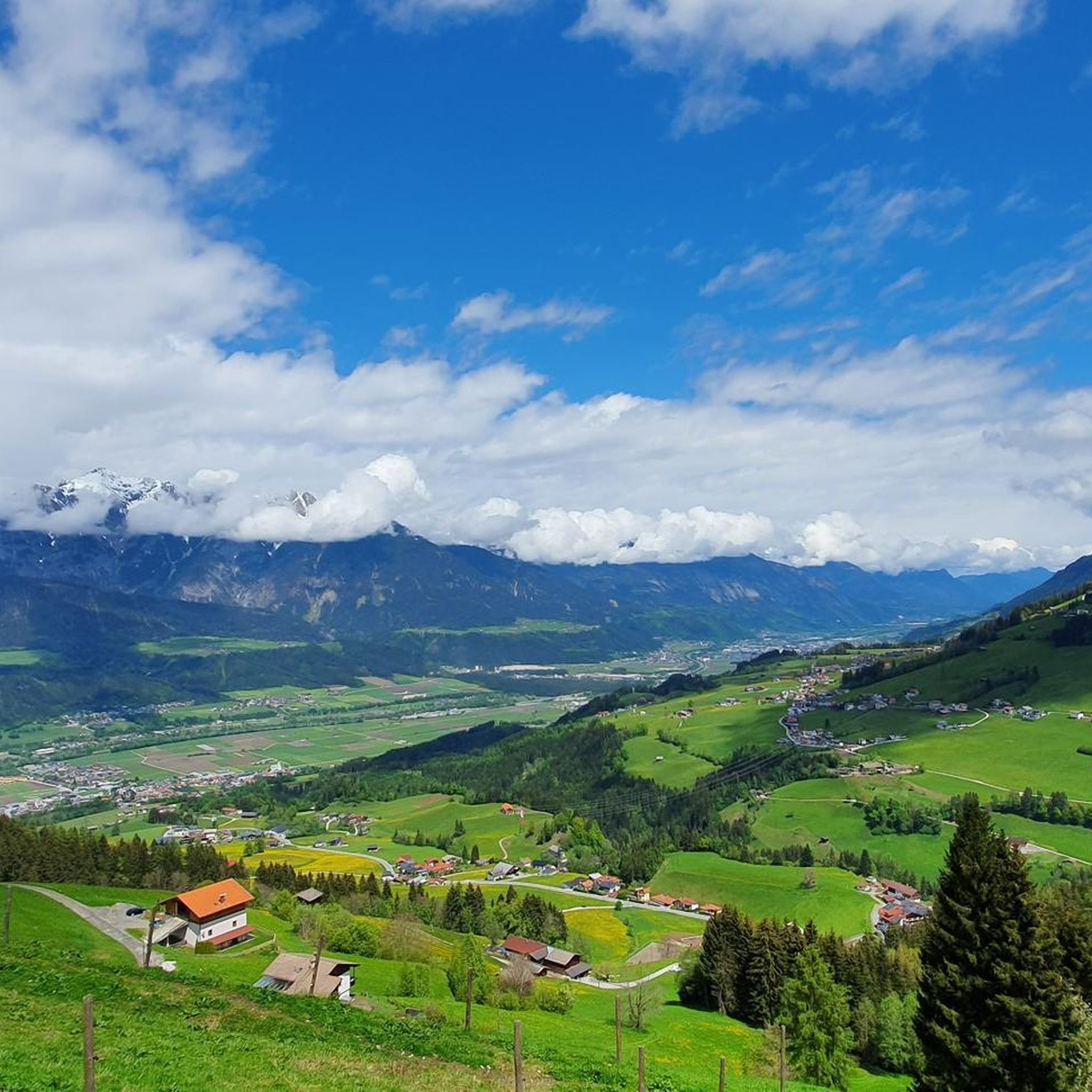
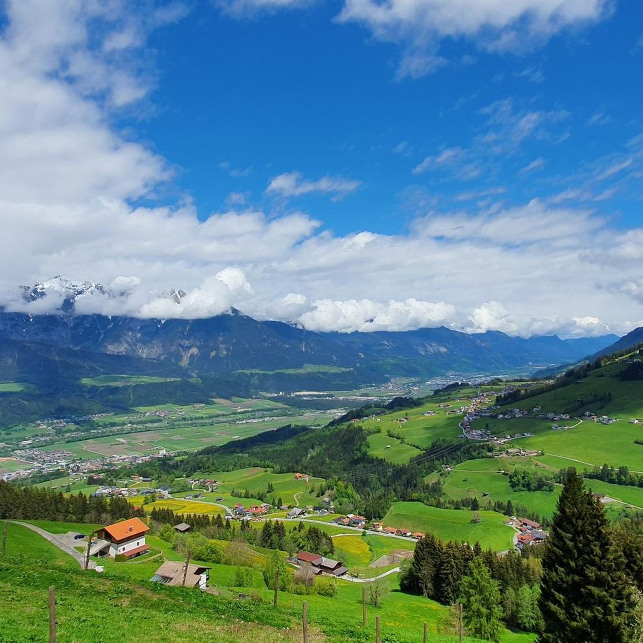
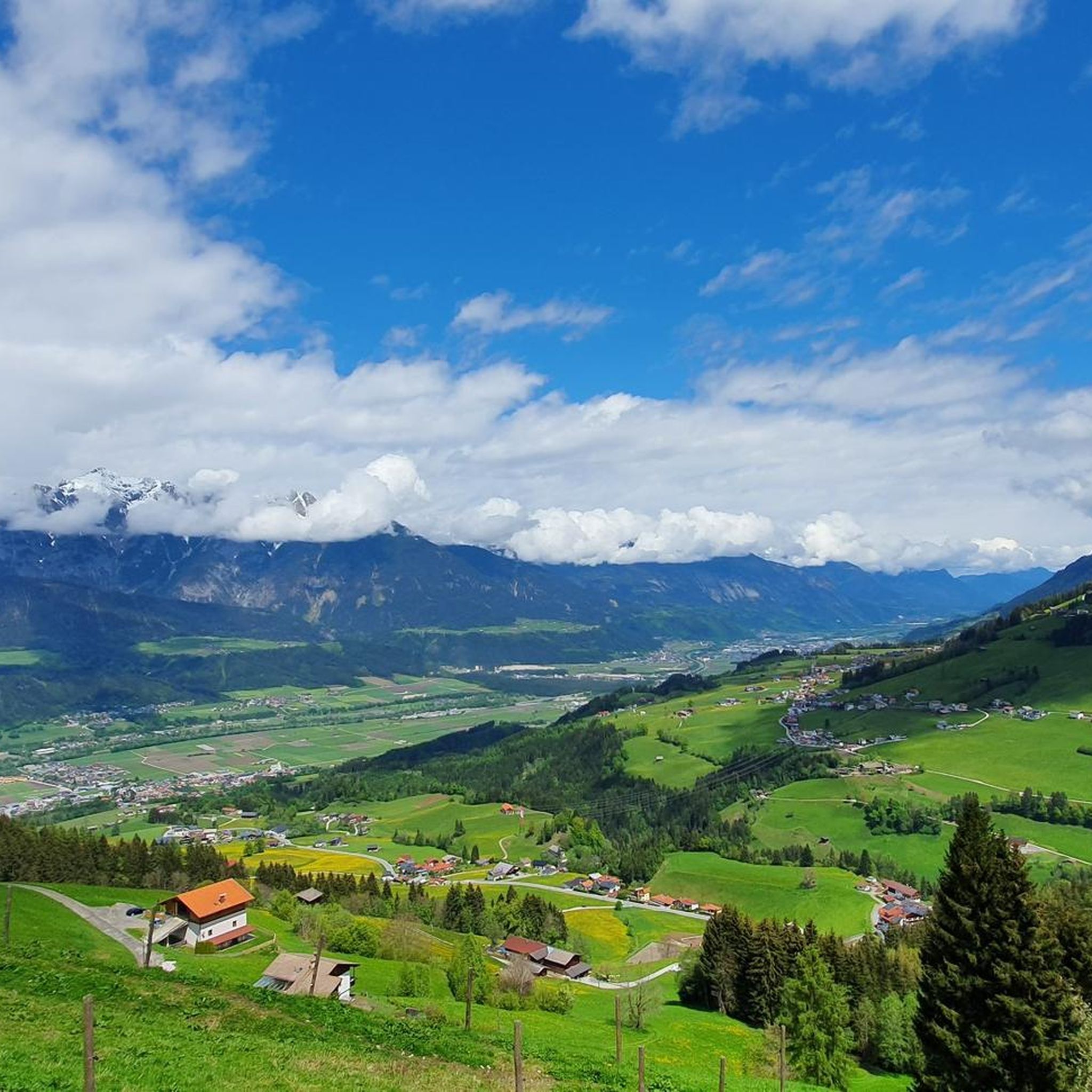
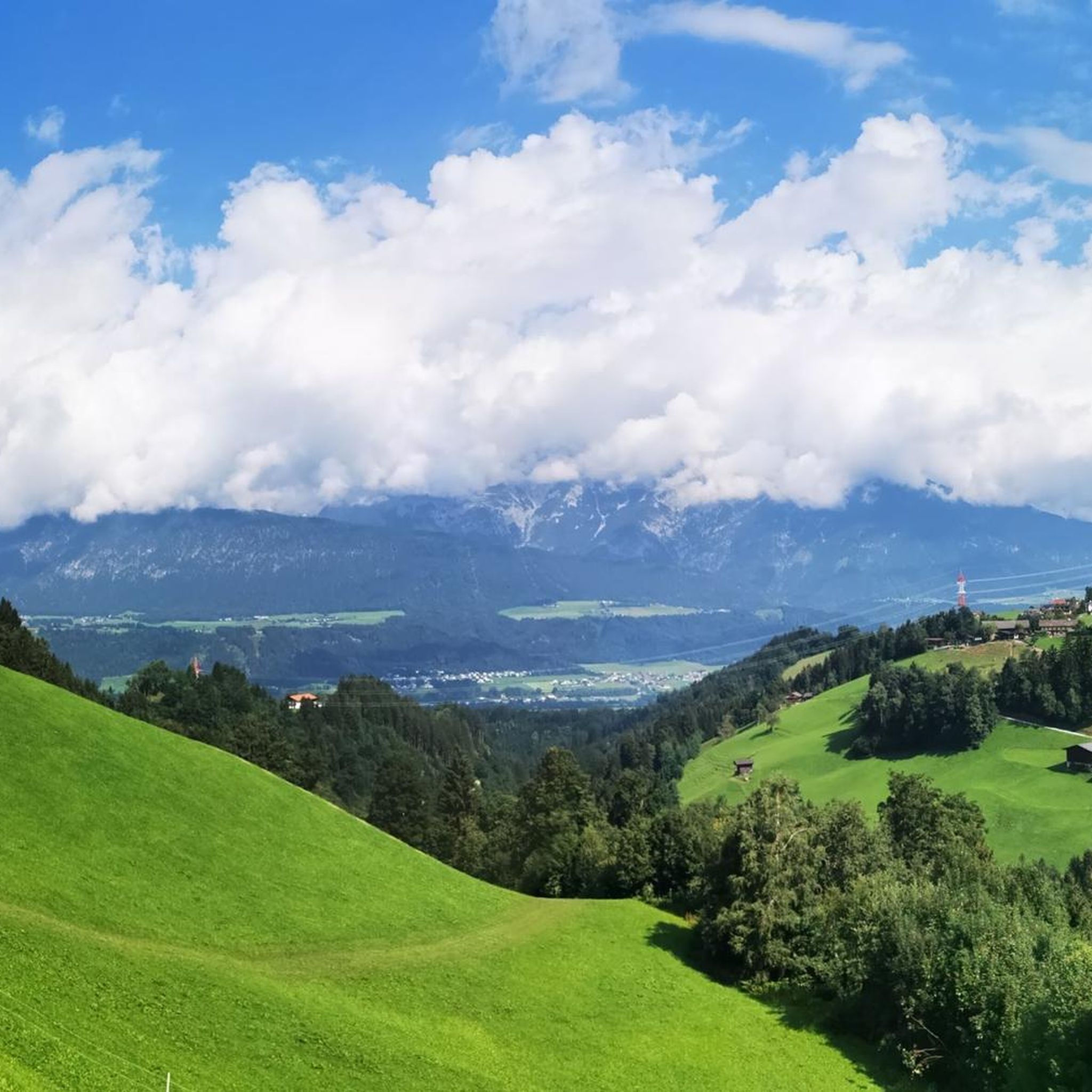
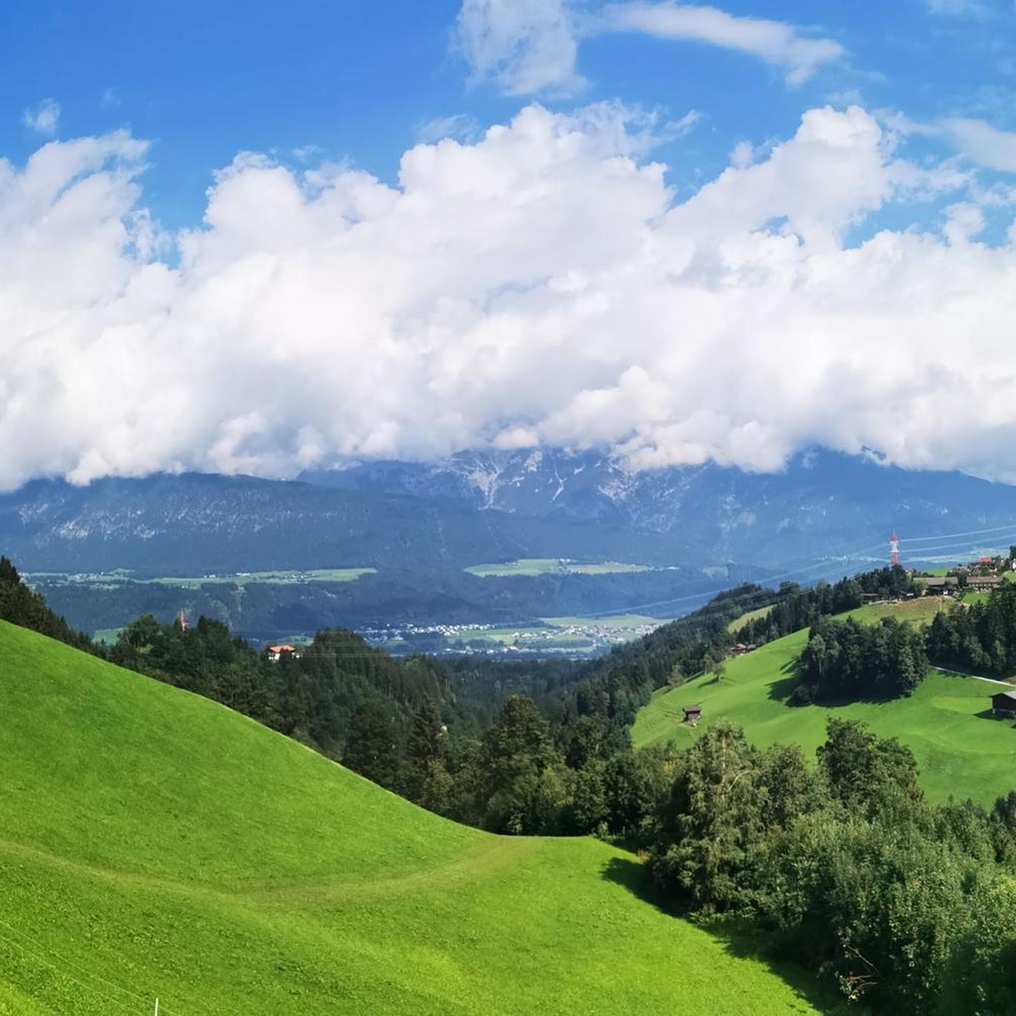
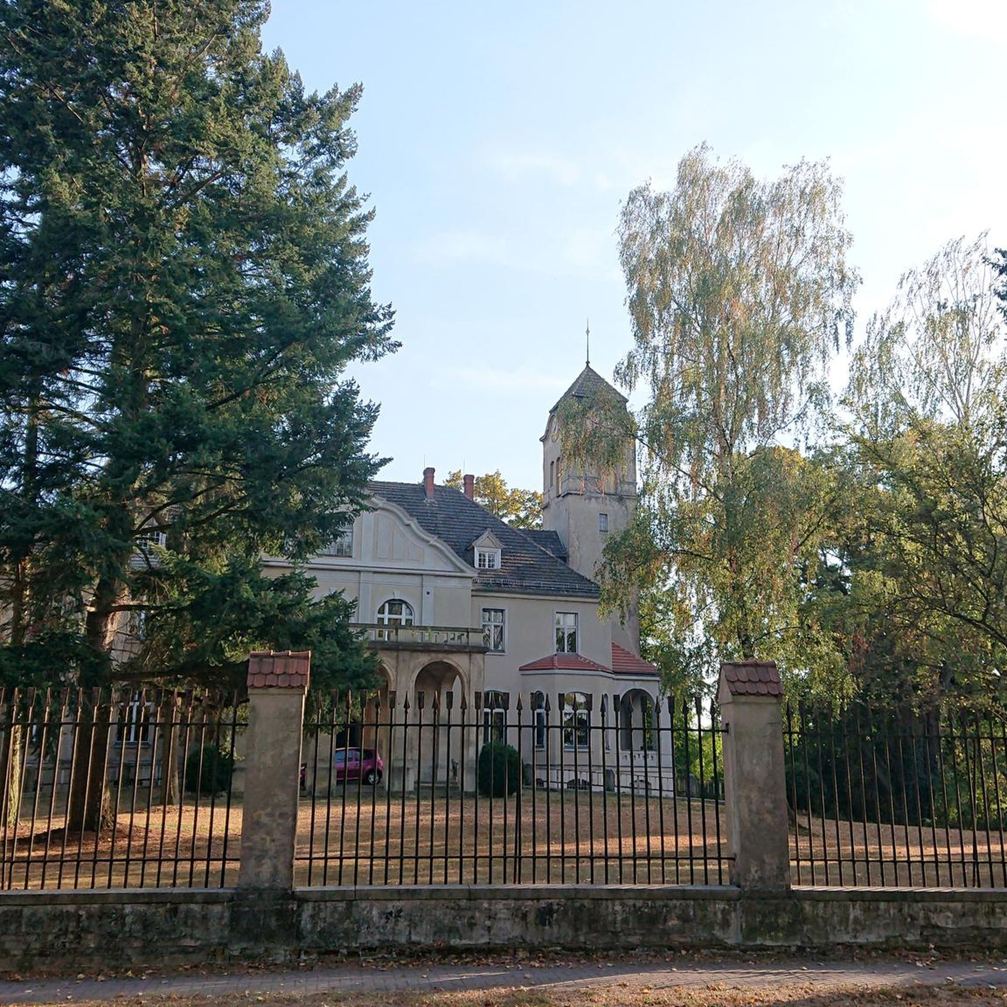
Tips from the Community


On the long ascent from Hochfügen, there are 9 peace symbols on the rocks. A special summit cross with lots of Christian peace symbols. 3 benches with the symbols of 3 religions each. Climbing-wise easy. Very far from Innerst
0
0

In winter, the panoramic trail leads you right through the heart of the snow-covered forest. You might find yourself moving at a more leisurely pace on the snow-covered path, allowing you to fully appreciate the breathtaking winter scenery and atmosphere. The winter hiking trail connects the mountain and valley stations of the Hüttegg lift.
0
0

The Hüttegg lift's mountain station is a lovely spot for a break on your winter hike. After enjoying the view of the Karwendel mountains, the trail leads you comfortably downhill into the valley via the forest road.
0
0

A wonderful resting place that even invites you to take a longer break: from the bench you can enjoy a magnificent view over the vast mountain world, while on nice days the sun is reflected in the small mountain pond.
1
0

Three comfortable benches (made of stone) await the climbers at the summit.
0
0

Very worth seeing, you have to see it
0
0
Very worth seeing, you have to see it
0
0
Frequently Asked Questions
How many mountaineering routes are available around Kolsassberg?
Kolsassberg offers a wide selection of mountaineering routes, with over 110 tours available. These routes cater to various skill levels, including 46 moderate and 66 difficult options, ensuring there's a suitable challenge for most mountaineers.
What kind of views can I expect on mountaineering routes in Kolsassberg?
Mountaineering routes in Kolsassberg provide magnificent panoramic views. You can expect to see the dramatic peaks of the Karwendel mountains, the expansive Inn Valley, and the rugged, largely untouched landscapes of the Tuxer Alps. Many routes lead to high alpine meadows and offer breathtaking vistas.
Are there any circular mountaineering routes in the Kolsassberg area?
Yes, Kolsassberg features several excellent circular mountaineering routes. For a challenging full-day experience, consider the Nurpenstal Valley loop from Innerst, which covers about 16.5 km through alpine valleys and meadows. Another popular option is the Großer Gilfert loop from Innerst, offering expansive views after a demanding ascent.
What are some notable natural features or landmarks to see along the mountaineering trails?
The Kolsassberg region is rich in natural beauty. You can explore stunning gorges like Finsinggrund, Maschental Valley, and Farbental Valley. There are also picturesque alpine lakes such as Penkenjoch Reservoir and Torsee. For a great viewpoint, head towards Hinteres Wattental.
Are there any mountain huts available for rest or accommodation on the routes?
Yes, the Kolsassberg area and the wider Tuxer Alps are well-equipped with mountain huts that serve as essential resting points, offer food, and sometimes accommodation. Notable huts include the Lamsenjoch Hut, Glungezer Hut, Rastkogel Hut, Weidener Refuge, and Nafing Mountain Hut. These provide excellent opportunities to refuel or break up longer tours.
What is the best season for mountaineering in Kolsassberg?
The best season for mountaineering in Kolsassberg is generally from late spring to early autumn (June to September), when trails are typically free of snow and weather conditions are more stable. However, some lower-altitude routes might be accessible earlier or later. Always check local weather and trail conditions before heading out, especially in shoulder seasons.
Are there any less crowded mountaineering routes for a more tranquil experience?
While specific crowd levels can vary, exploring routes that venture deeper into the Tuxer Alps, such as sections of the Inntaler Höhenweg, can offer a more profound wilderness experience away from busier spots. Routes leading to less frequented peaks or those starting from more remote trailheads might also provide a quieter outing.
What do other mountaineers say about the routes in Kolsassberg?
The mountaineering routes around Kolsassberg are highly regarded by the komoot community, boasting an average rating of 4.6 stars from over 130 reviews. Mountaineers often praise the spectacular panoramas, the diverse terrain, and the well-marked trails that cater to various experience levels.
Can I find routes that pass by a storage pond or reservoir?
Yes, you can find routes that incorporate these features. For example, the challenging Storage pond – Großer Gilfert loop from Weerberg leads through high alpine terrain and past a storage pond, offering unique scenery during your ascent.
Are there any longer, more challenging mountaineering tours available?
Absolutely. For those seeking a significant challenge, the Weidener Hütte – Weidener Hütte loop from Innerst is a demanding route covering nearly 22 km with substantial elevation gain, typically requiring around 8 hours to complete. This route offers an immersive alpine experience.
Are there any moderate mountaineering routes for those looking for a less strenuous option?
Yes, Kolsassberg also offers moderate mountaineering routes. A good example is the Weidener Hütte – Weidener Hütte loop from Weidener Hütte, which is about 10 km long and can be completed in under 4 hours. This route provides a rewarding experience without the extreme demands of the most difficult ascents.
Most popular routes around Kolsassberg
Most popular attractions around Kolsassberg

Get inspired with the komoot mobile app


Explore more
Browse the best Mountain Hikes & Routes in other regions.
