The best walks and hikes around Sparkwell
4.6
(1626)
15,770
hikers
15
hikes
Hiking around Sparkwell explores the wooded Plym Valley and the southern edge of Dartmoor National Park. The region is characterized by river valley paths, former railway lines converted into trails, and ancient oak woodlands. Many routes feature historical elements like the Cann Viaduct, which crosses the River Plym, blending natural scenery with industrial heritage. The Sparkwell hiking terrain offers diverse landscapes for various outdoor activities.
Best hiking trails around Sparkwell
- The most popular hiking route is The Cann Viaduct &…
Last updated: October 30, 2026
22
hikers
2.84km
00:45
20m
30m
Easy hike. Easily walkable paths.
4.3
(10)
76
hikers
7.42km
02:01
100m
100m
Moderate hike. Good fitness required. Easily walkable paths.

4.8
(5)
25
hikers
9.94km
02:44
170m
170m
Moderate hike. Good fitness required. Easily walkable paths.
37
hikers
2.49km
00:40
30m
30m
Easy hike. Easily walkable paths.
4.7
(3)
32
hikers
6.23km
01:42
90m
90m
Easy hike. Easily walkable paths.
Get access to more routes and recommendations from other explorers.
Already have an account?
Our route recommendations are based on thousands of hikes, rides, and runs completed by other people on komoot.
Start today with a free account
Your next adventure awaits.
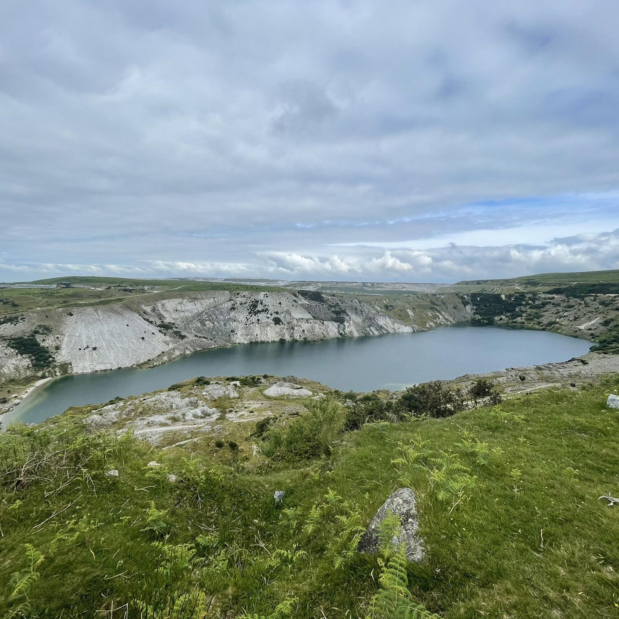
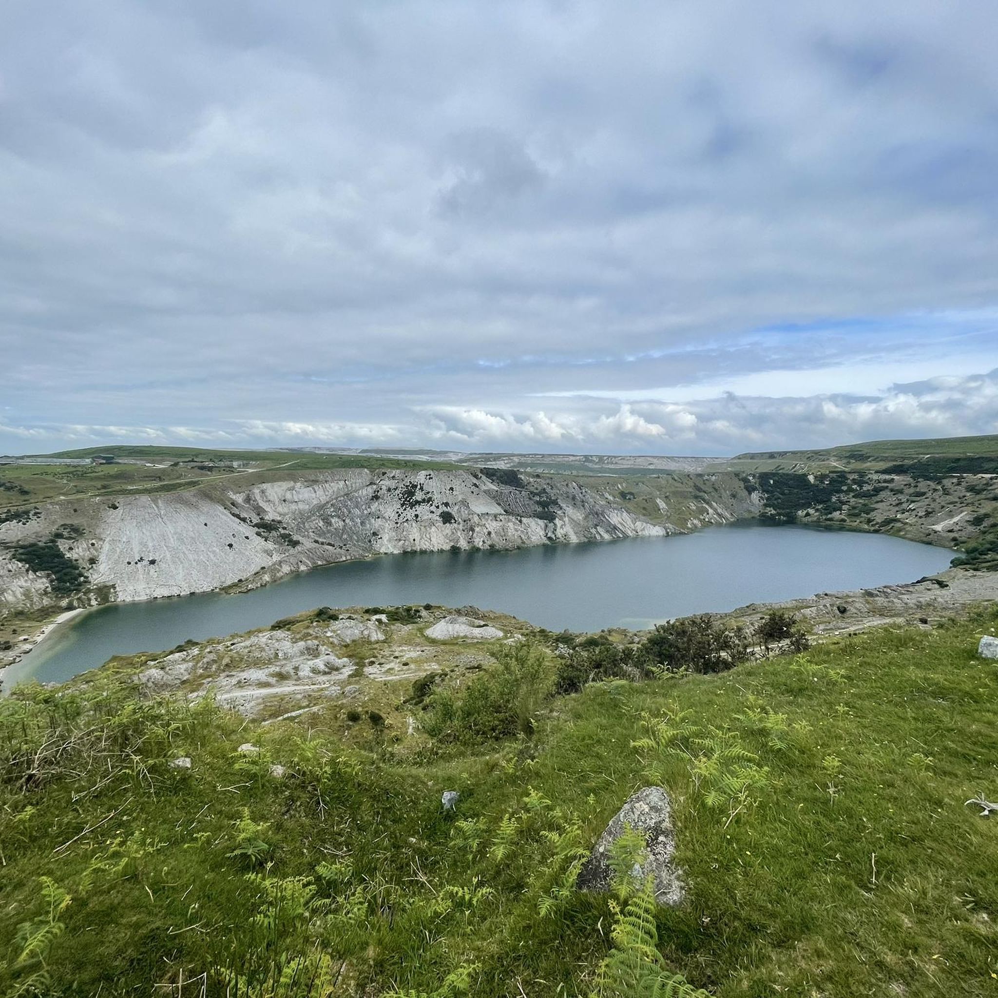
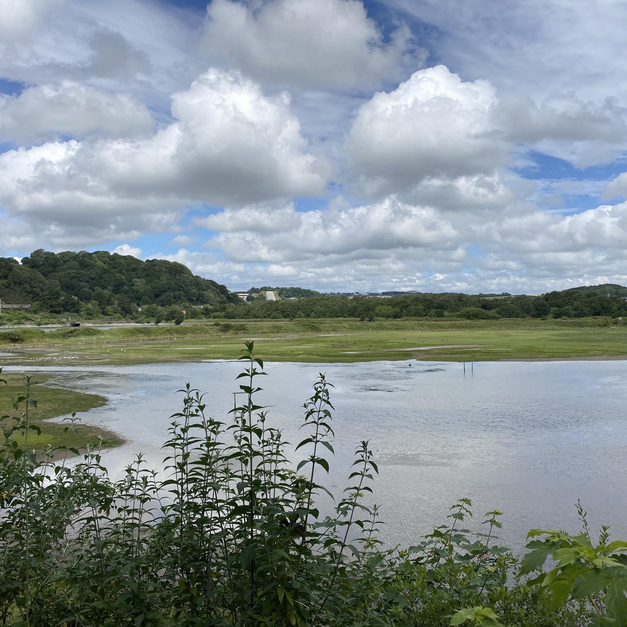
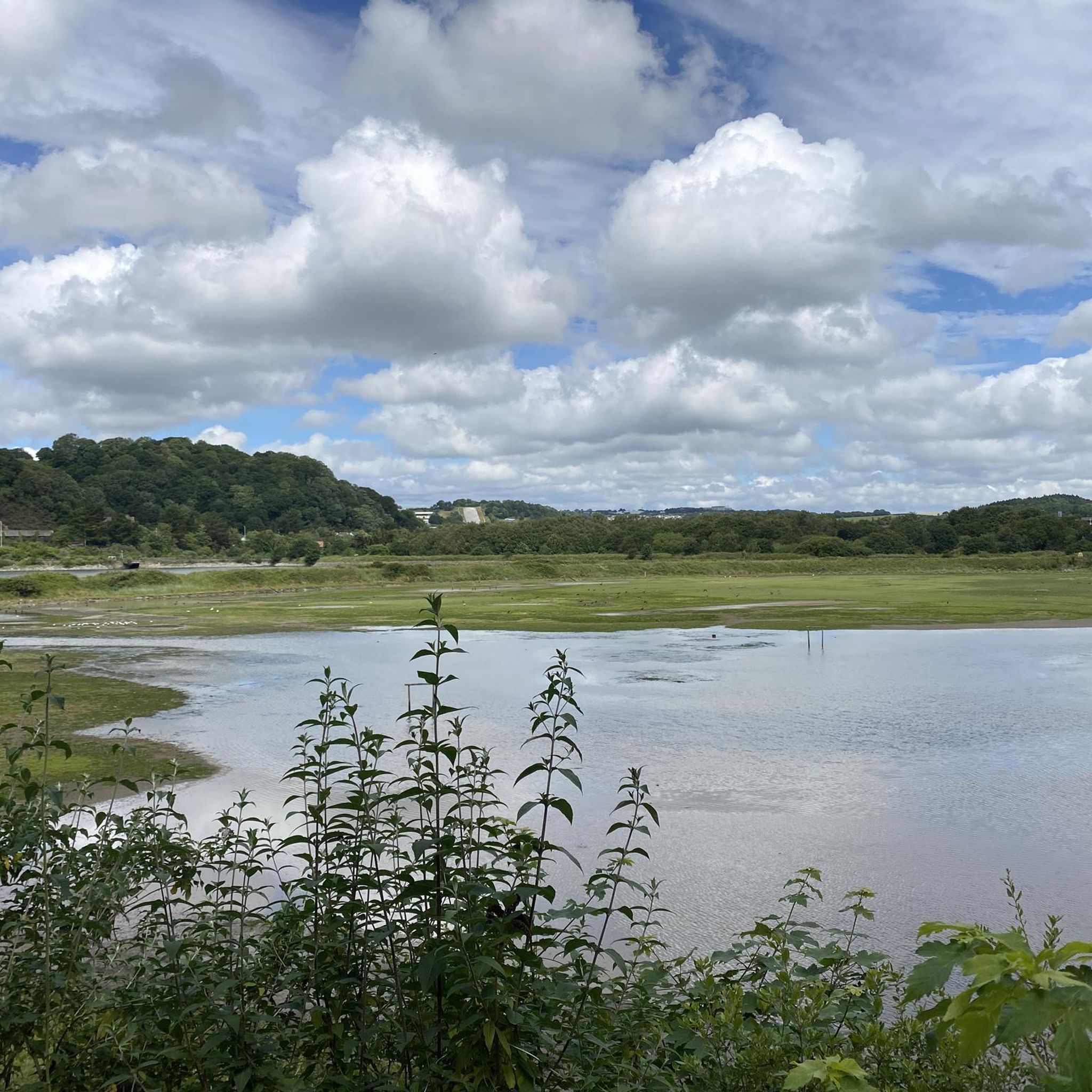
Tips from the Community


Fun coming down hill, nice track through the woods that comes out onto the plymbridge cycle path
0
0

Better known as Cann woods, so many trails, some steep, techy and flowy riding. It is a bit of a maze, you may get list but it is well worth it 👌
0
0

The weir on the River Plym near the Cann Viaduct in Bickleigh Vale. It's a nice place to swim or paddle. The river trail and the West Devon Way pass nearby.
0
0

The Plym Valley Trail is a cycle route that runs from Dartmoor to Plymouth along the River Plym. It is part of the National Cycle Network Route 27 and the Devon Coast to Coast ride. It is also part of the Drake’s Trail, which follows the old South Devon & Tavistock Railway line. The trail is mostly traffic-free and runs through National Trust-owned woodland. It offers scenic views of the river, the moorland and the industrial heritage of the area. The trail leads past dramatic ruins, towering cliffs and impressive viaducts. The trail is about 10 miles (16 km) long and can be accessed from various points along the way. You can start from Plym Bridge, where there is a car park and a visitor centre. You can also join the trail from Marsh Mills, Clearbrook or Yelverton. The trail ends at Laira Bridge in Plymouth, where you can continue along the waterfront or explore the city centre.
7
0

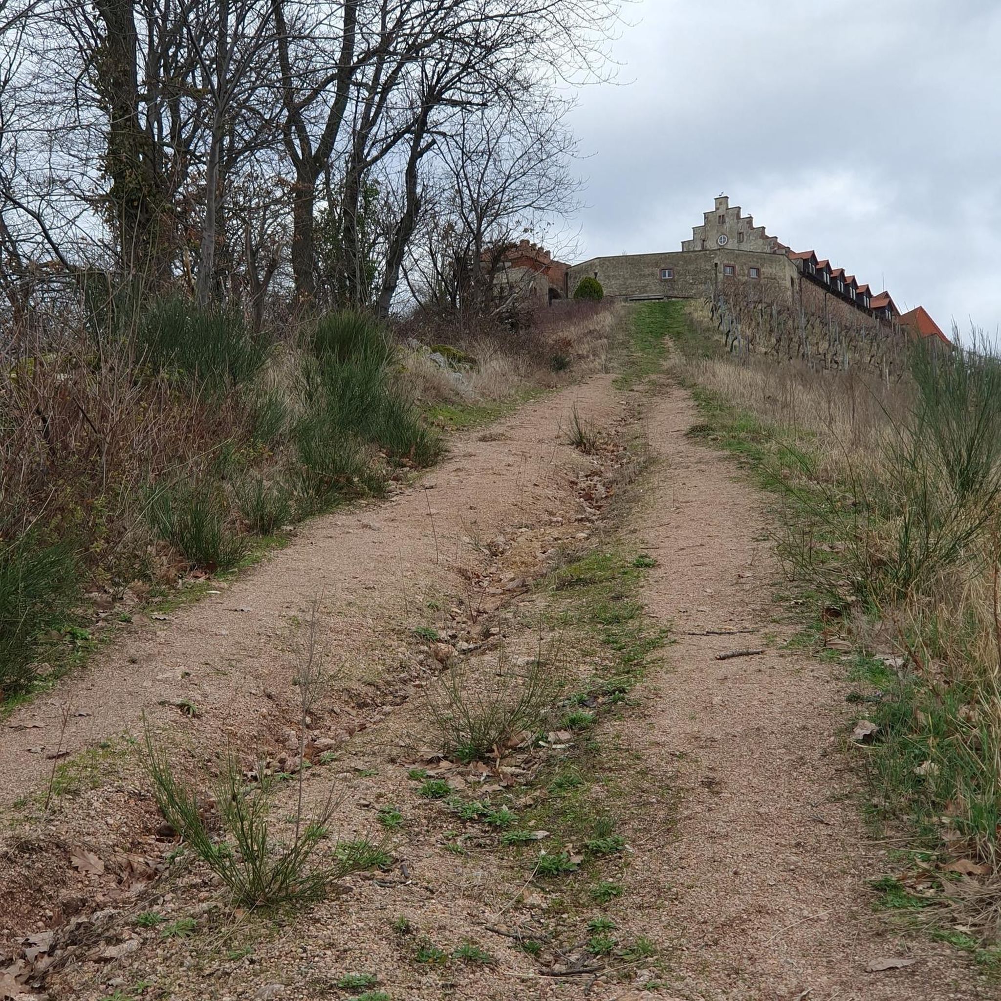
Riding in a northern direction you exit the main, tarmac, trail & onto a firm, off-road & somewhat rocky surface that climbs steeply for approx 20m. Then take a sharp right and onto a bridge which takes you back over the valley trail and continues to climb up towards Cann Woods. At the end, you'll find a stile, which marks the border of the Woods. Rideable in all weathers on a CX or gravel bike.
1
0
Large, compact, rocky 'gravel' surface makes this track simple enough to ride all year round on a gravel or CX bike. Climbs up to the main gravel track which runs across the woods (Robert Lane).
1
0
Not exactly a gravel surface, but firm enough that it stays rideable in most weathers. Wide enough for a couple of bikes to pass, or dodge dog walkers & runners!
0
0
Frequently Asked Questions
Are the walking trails around Sparkwell suitable for dogs?
Yes, many trails in the area, particularly in Plymbridge Woods and Cann Woods, are very popular with dog walkers. The paths along the River Plym offer great opportunities for dogs to explore. As always, please keep your dog under control, especially near wildlife and livestock on the edges of Dartmoor.
Are there any easy, family-friendly walks near Sparkwell?
Absolutely. The area is great for families. For a short and engaging walk, consider the The Cann Viaduct & River Plym loop from Plym Bridge station. It's a relatively flat trail that follows a former railway line, making it accessible for most ages and abilities.
Where is the best place to park for walks in Plymbridge Woods?
The main car park for Plymbridge Woods is located at Plym Bridge. This is a highly-regarded starting point managed by the National Trust and provides direct access to the Plym Valley Trail and various woodland paths. It can get busy, so arriving earlier in the day is recommended.
Can I find circular walks in the Sparkwell area?
Yes, circular routes are very common. Many trails are designed as loops, allowing you to start and finish in the same place without retracing your steps. A good example of a moderate circular hike is the Plymbridge Woods loop from Estover, which takes you on a comprehensive tour of the woodland.
Are there any pubs or cafes near the walking trails?
While the immediate woodland trails don't have cafes, the nearby villages offer options. After a walk, you can drive to Sparkwell village or surrounding areas like Cornwood to find traditional pubs for a meal or drink. For a dedicated cafe experience combined with more trails, the Tamar Trails Centre is a bit further afield but offers both.
How can I access Dartmoor National Park from Sparkwell for hiking?
Sparkwell is an excellent base for exploring the southern part of Dartmoor. A short drive north through the village of Cornwood will bring you to moorland access points like Harford Moor Gate. From there, you can embark on hikes to explore the ancient landscapes, granite tors, and Bronze Age sites that Dartmoor is famous for.
Which hikes feature historical points of interest?
Many routes incorporate the area's industrial past. The Cann Viaduct – River Plym Weir loop from Plym Bridge is a perfect example. This trail not only features the magnificent Cann Viaduct, a remnant of the old railway, but also passes by other industrial remains, blending natural beauty with local history.
What do other hikers enjoy about the trails around Sparkwell?
The area is highly rated by the komoot community, with an average score of 4.6 stars. Hikers often praise the beautiful oak woodlands of the Plym Valley, the well-maintained paths along the former railway line, and the impressive views from the historic Cann Viaduct.
How many hiking trails are available around Sparkwell?
There is a vast network of trails to explore, with over 600 routes mapped on komoot around Sparkwell. These range from short, easy strolls in the Plym Valley to more challenging treks onto the high moorland of Dartmoor, offering something for every fitness level.
Which trails offer the best views?
For stunning woodland and river scenery, any trail that includes the Cann Viaduct is a great choice, as it provides an elevated perspective over the River Plym. The Cann Viaduct – View Above Henroost Wood loop from Plym Bridge specifically leads to a viewpoint for a rewarding outlook.
What is the terrain like on the trails?
The terrain is quite varied. Around Plymbridge Woods, you'll find many flat, well-surfaced paths following the old railway line, which are easy underfoot. Other woodland trails can be uneven with roots and mud, especially after rain. As you head towards Dartmoor, the paths become more rugged and open, with some steep sections.
Is it possible to reach the trailheads by public transport?
Accessing the main trailheads like Plymbridge Woods directly by public transport can be challenging. Most visitors arrive by car. However, bus services run to nearby suburbs of Plymouth like Estover, from which you can walk to access the western end of the woods.
Most popular attractions around Sparkwell

Get inspired with the komoot mobile app


Explore more
Browse the best Hikes in other regions.
