The best walks and hikes around Harford
4.5
(1533)
9,839
hikers
24
hikes
Hiking in Harford County, Maryland, offers a mix of terrains shaped by its geography. The northern part of the county features the rocky, forested hills of the Piedmont Plateau, while the southern portion consists of flatter coastal plains near the Chesapeake Bay. This results in a variety of routes that follow rivers like the Gunpowder and Susquehanna or lead to prominent rock formations.
Best hiking trails around Harford
- The most popular hiking route is Butterdon & Western Beacon loop from Ivybridge — Dartmoor National Park, a 5.9 mile (9.5 km) trail that takes about 2 hours 48 minutes to complete. This route features some steep and rocky sections leading to views over Deer Creek.
- Another top favourite among local hiking enthusiasts is Long Stone, Piles Hill – Piles Copse loop from Harford, a moderate 5.4 mile (8.8 km) path. The trail follows forested sections along the river with some changes in elevation.
- Local hiking enthusiasts also love the The River Erme in Longtimber Woods – Pithill Wood loop from Ivybridge, a 4.3 mile (6.9 km) trail leading through woodland, often completed in about 1 hour 57 minutes.
- Hiking around Harford is defined by forested river valleys, rocky outcrops, and flat coastal plains. The trail network includes accessible, paved paths as well as more challenging routes with significant elevation gain.
- The routes in Harford are highly rated by the komoot community with an average score of 4.5 stars from over 500 reviews. More than 4,000 hikers have used komoot to explore Harford's varied terrain.
Last updated: July 27, 2026
5.0
(3)
17
hikers
9.55km
02:49
270m
270m
Moderate hike. Good fitness required. Easily-accessible paths. Suitable for all skill levels.
4.6
(8)
26
hikers
29.8km
08:03
390m
390m
Hard hike. Very good fitness required. Easily-accessible paths. Suitable for all skill levels.

Sign up for free
4.5
(4)
32
hikers
17.9km
04:58
320m
320m
Moderate hike. Good fitness required. Easily-accessible paths. Suitable for all skill levels.
1.0
(1)
4
hikers
6.92km
02:09
240m
240m
Moderate hike. Good fitness required. Easily-accessible paths. Suitable for all skill levels.
5.0
(3)
12
hikers
17.5km
05:01
430m
430m
Hard hike. Very good fitness required. Easily-accessible paths. Suitable for all skill levels.
Get access to more routes and recommendations from other explorers.
Sign up for free
Already have an account?
Our route recommendations are based on thousands of hikes, rides, and runs completed by other people on komoot.
Start today with a free account
Your next adventure awaits.
Login or Signup
Popular around Harford

Dartmoor National Park – A Walk in the Parks

A Walk in the Parks – hikes across all of England’s national parks

Footsteps through time – trail running in Dartmoor National Park
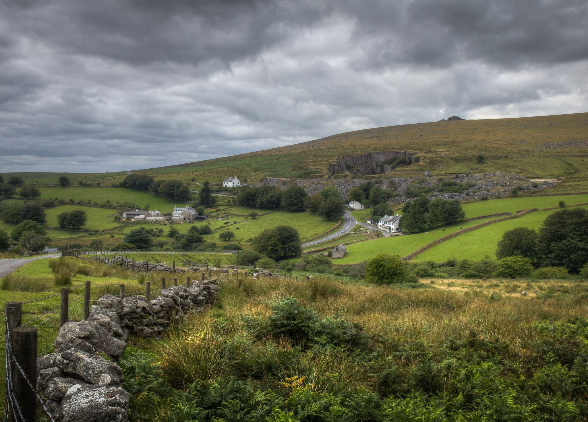
Tors, moors and glorious views — riding the Dartmoor Way
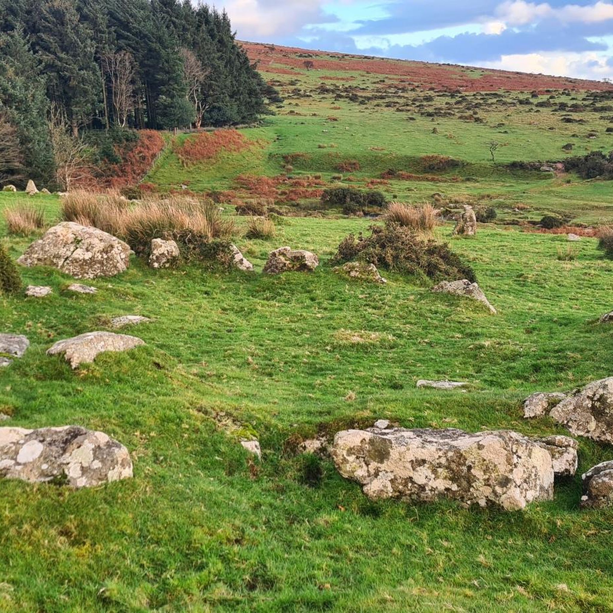
Cycling around Harford
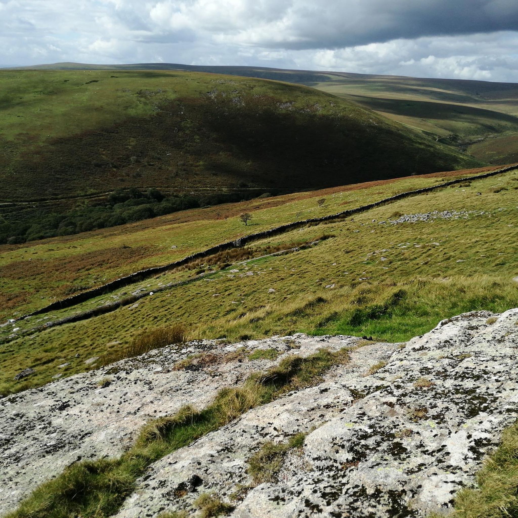
Running Trails around Harford
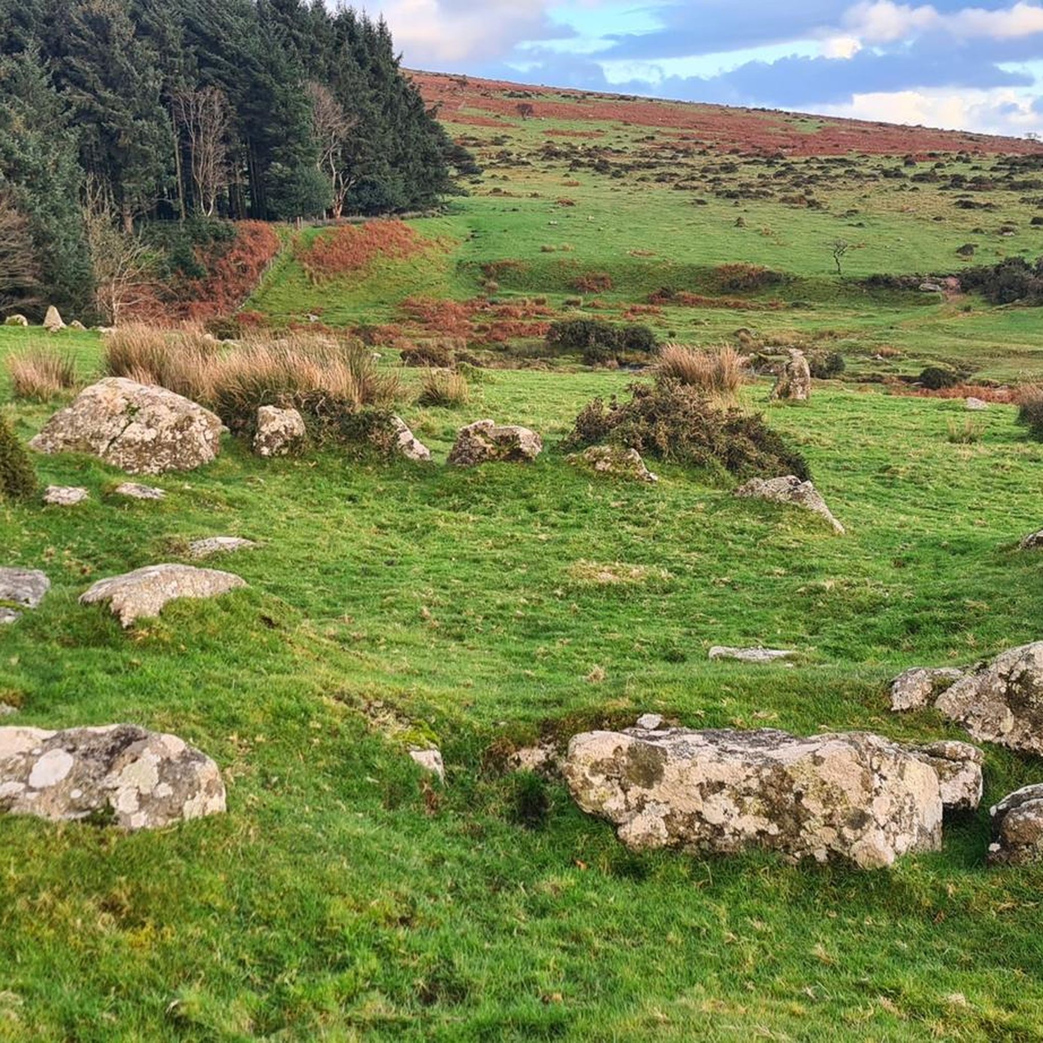
Road Cycling Routes around Harford
MTB Trails around Harford

Gravel biking around Harford
Other adventures around Harford


Tips from the Community

great for kids as picnic benches provided. nice spots to paddle in the river!
0
0


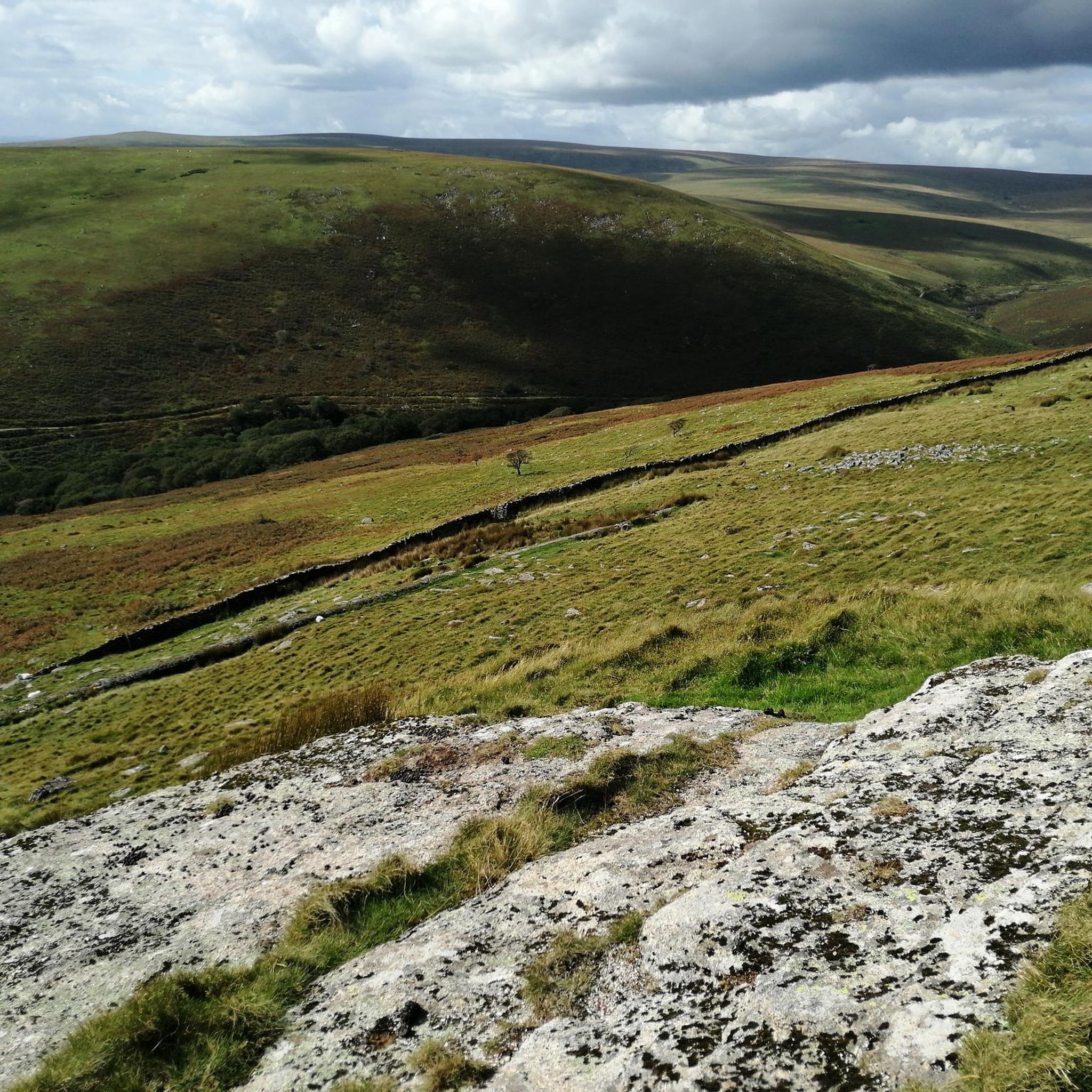
One of the best first views of Harford moor before reaching Harford Moor Gate up the road.
0
0
Vehicle access to the Harford Moor Gate car park has been closed as of February 2021 to control footfall on this area of the moor as the sward and soil cannot sustain heavy use by walkers, cyclists and riders. This closure also helps reduce traffic congestion in the lane through Harford.
0
0

Left Lake is a small lake on the right of the Two Moors Way trail from Ivybridge heading north to Red Lake. It's a great little pool with a peaty bottom, so the water is quite dark. It warms up well if you get a few days of sunshine, perfect for a quick dip on a long run on the south moor.
0
0
Red Lake is an area of former china clay workings, with a peaceful lake and volcano-shaped spoil heap. Today it's a grass covered hill with great views over the south moor. The lakes in the area are inviting on a hot day, and it's a good site for a responsible wild camp. The track from Ivybridge is a long run, but the navigation is easy and it feels brilliantly wild. OuterEdge Events hold a popular Dartmoor Volcano race to this point each September.
1
0

The Miles Without Stiles route from Longtimber Wood reaches Pithill Wood, but doesn't navigate any of the steps or stiles in this area.
0
0
The track through Longtimber Woods to Pithill Woods is one of six routes across the national park marked as Miles Without Stiles. As you might expect, these routes don't feature any stiles, and are designed to be accessible for a whole raft of users, including those with limited mobility, rides of all-terrain powered mobility scooters and families with younger children. You can start your adventure on Station Road near the Brunel's viaduct and head into the woods following the west bank of the River Erme. Bring some snacks or a flask of tea to enjoy at the picnic site before turning around to head back.
0
0
Frequently Asked Questions
Are hiking trails in Harford County dog-friendly?
Yes, most state park trails in Harford County welcome dogs as long as they are on a leash. Parks like Gunpowder Falls State Park and Susquehanna State Park are popular choices for dog walkers. Always check the specific park's regulations before you go.
Where can I find waterfall hikes in Harford County?
For waterfalls, Rocks State Park is the primary destination. It's home to Kilgore Falls, which is Maryland's second-highest vertical drop waterfall. The hike to the falls is relatively short and highly rewarding. Be aware that reservations are required to visit the Kilgore Falls area on weekends and holidays from Memorial Day to Labor Day.
Are there any easy, family-friendly hikes in the area?
Absolutely. The Ma & Pa Heritage Trail is a popular favorite for families. It follows the path of a former railroad, so it's mostly flat and accessible for walkers of all ages. For a woodland walk, The River Erme in Longtimber Woods – Pithill Wood loop from Ivybridge is another great option, offering a gentle path through the forest.
What are the most challenging hikes in Harford County?
For a more strenuous challenge, the northern part of the county offers rocky and steep terrain. The trails in Rocks State Park, particularly those leading to the King and Queen Seat, provide a good workout with significant elevation changes. For a long-distance challenge, the Long Stone, Piles Hill – View of Redlake Hill loop from Ivybridge is a difficult route that covers substantial ground.
Which trails offer the best river views?
Susquehanna State Park is your best bet for impressive river scenery. The Susquehanna Ridge Trail offers magnificent views of the river valley from higher elevations. Additionally, many trails within Gunpowder Falls State Park follow the beautiful Gunpowder River, providing serene waterside views throughout your hike.
Do I need to pay to hike in Harford County?
While some local trails like the Ma & Pa Heritage Trail are free to access, the major state parks (Rocks, Gunpowder Falls, and Susquehanna) typically have day-use service charges. Fees can vary, so it's best to check the official Maryland Department of Natural Resources website for the specific park you plan to visit for current pricing.
What are some popular places for hiking in Harford?
Locals and visitors enjoy a variety of spots. Rocks State Park is famous for its dramatic rock formations and waterfall. Gunpowder Falls State Park, Maryland's largest, offers an extensive network of trails for all skill levels. The Ma & Pa Heritage Trail is a highly-regarded flat trail perfect for easy walks, while Susquehanna State Park is loved for its forested paths and river views.
What is the terrain like for hiking in Harford County?
The terrain is quite varied. The northern part of the county, part of the Piedmont Plateau, is characterized by rocky, forested hills, offering more challenging hikes with elevation gain. In contrast, the southern part near the Chesapeake Bay is flatter, with coastal plains and trails that are often more level and gentle.
Are there any good circular hiking routes?
Yes, there are many excellent loop trails. The Piles Copse – Harford Moor Gate loop from Harford is a great moderate option that takes you through varied moorland and woodland scenery. Many of the trails in the state parks are also designed as loops, allowing you to start and end at the same parking area.
What do other hikers enjoy most about the trails in Harford?
The trail network is highly rated by the komoot community, with an average score of 4.5 stars. Reviewers often praise the region's diversity, from the peaceful, forested river valleys in Gunpowder Falls State Park to the rewarding climbs and panoramic views found in Rocks State Park.
How many hiking trails are available around Harford?
There are over 25 curated hiking routes to explore around Harford on komoot. These range from easy, family-friendly walks to difficult, challenging treks, covering the diverse landscapes the county has to offer.
What should I know about parking at popular trailheads?
Parking at popular destinations like Rocks State Park and the main areas of Gunpowder Falls State Park can fill up quickly, especially on weekends and holidays. It is highly recommended to arrive early in the day to secure a parking spot.
Most popular routes around Harford
Most popular attractions around Harford

Get inspired with the komoot mobile app


Explore more
Browse the best Hikes in other regions.
