The best mountain hikes around Breitenbach am Inn
4.8
(314)
3,401
hikers
99
hikes
Mountaineering routes around Breitenbach am Inn are set within Tyrol, Austria, characterized by a diverse landscape that includes the prominent Rofan Mountains and the Brandenberg Alps. The region features a mix of challenging peaks, such as the Plessenberg, and scenic valleys like the Inn Valley. Numerous marked trails traverse varied terrain, from forested slopes to alpine ridges, offering a range of experiences for mountaineers.
Best mountaineering routes around Breitenbach am Inn
- The most popular mountaineering route is View of Lake Reintal – View of the Reintaler See loop from Toteisloch am Krummsee, a 3.4 miles (5.5 km) trail that takes 2 hours 48 minutes to complete. This difficult route offers scenic views around Lake Reintal.
- Another top favourite among local mountaineers is Plessenberg Summit (1,743 m) – Kienberg Summit (1,786 meters) loop from Breitenbach am Inn, a difficult 10.1 miles (16.3 km) path. This challenging route includes ascents to two prominent summits, offering extensive views.
- Local mountaineers also love the Voldöppberg North Summit – Voldöppberg loop from Brandenberg Alps, a 4.6 miles (7.4 km) trail leading through the Brandenberg Alps, often completed in about 3 hours 28 minutes.
- Mountaineering around Breitenbach am Inn is defined by the Rofan Mountains, the Brandenberg Alps, and the Inn Valley. The network offers options for various ability levels, from moderate ascents to difficult summit routes.
- The routes in Breitenbach am Inn are highly rated by the komoot community with an average score of 4.8 stars from over 270 reviews. More than 3,200 mountaineers have used komoot to explore Breitenbach am Inn's varied terrain.
Last updated: September 27, 2026
4.8
(20)
193
hikers
8.01km
03:34
470m
470m
Hard mountaineering route. Good fitness required. Sure-footedness, sturdy shoes and alpine experience required.
4.8
(17)
183
hikers
5.47km
02:47
420m
420m
Hard mountaineering route. Good fitness required. Sure-footedness, sturdy shoes and alpine experience required.

5.0
(2)
23
hikers
16.0km
06:29
970m
970m
Hard mountaineering route. Very good fitness required. Sure-footedness, sturdy shoes and alpine experience required.
4.5
(4)
25
hikers
Hard mountaineering route. Very good fitness required. Sure-footedness, sturdy shoes and alpine experience required.
4.7
(3)
18
hikers
Hard mountaineering route. Good fitness required. Sure-footedness, sturdy shoes and alpine experience required.
Get access to more routes and recommendations from other explorers.
Already have an account?
Our route recommendations are based on thousands of hikes, rides, and runs completed by other people on komoot.
Start today with a free account
Your next adventure awaits.
Popular around Breitenbach am Inn
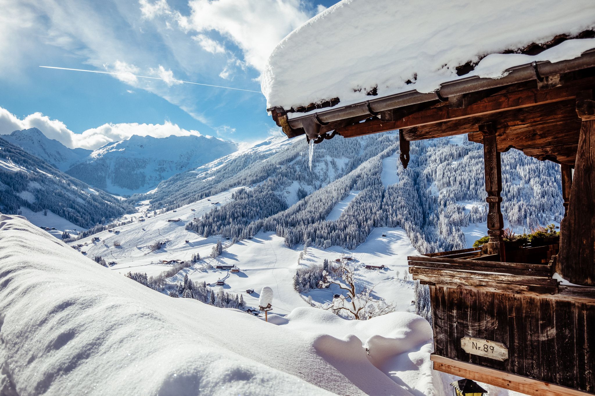
Where winter dreams come true – the 10 most beautiful hikes in Alpbachtal
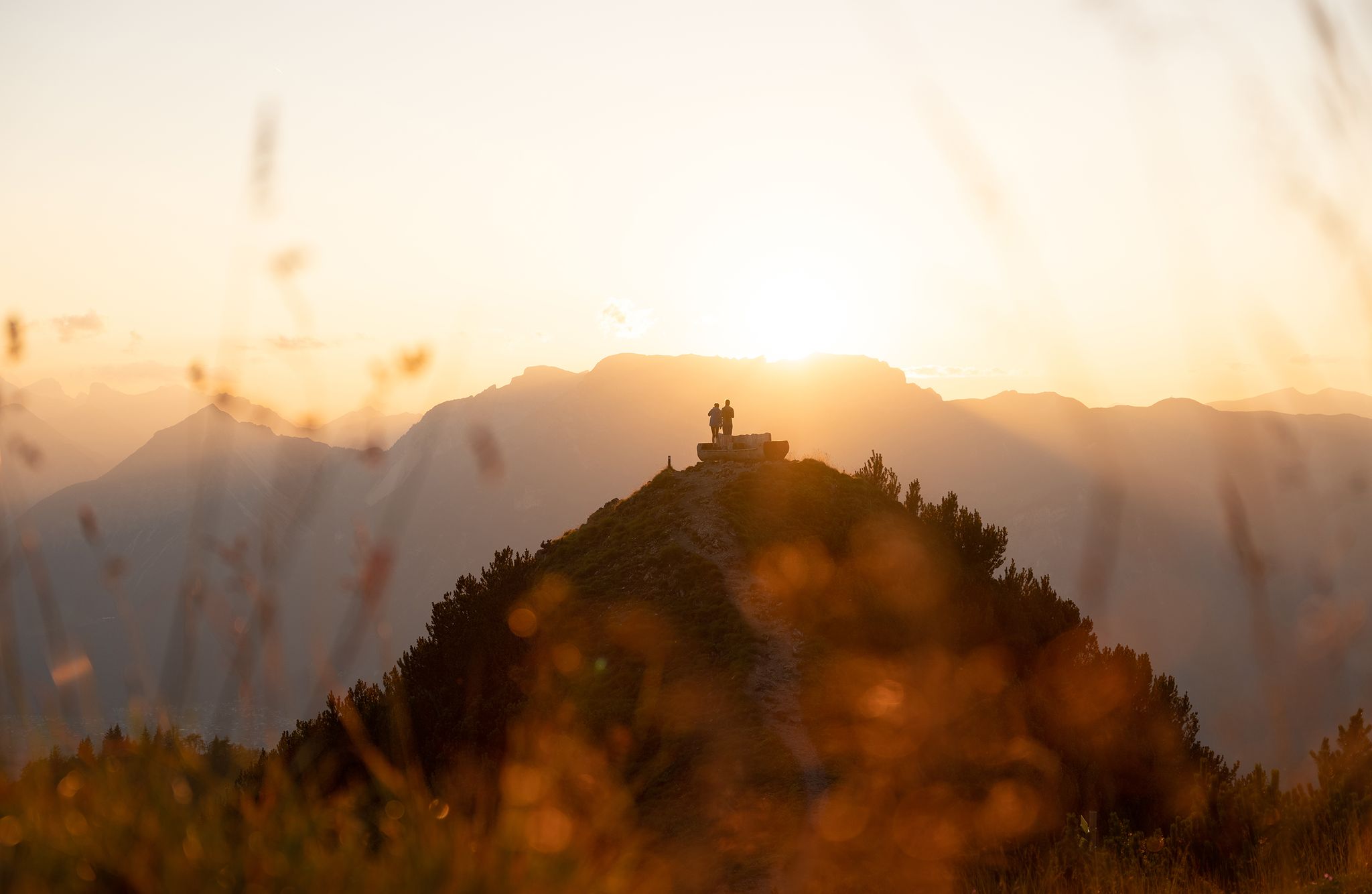
Golden Autumn – hikes in the Alpbachtal
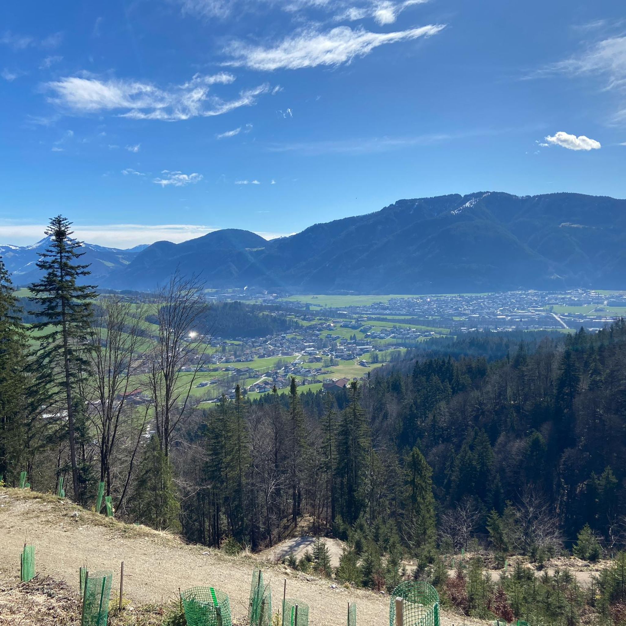
Cycling around Breitenbach am Inn
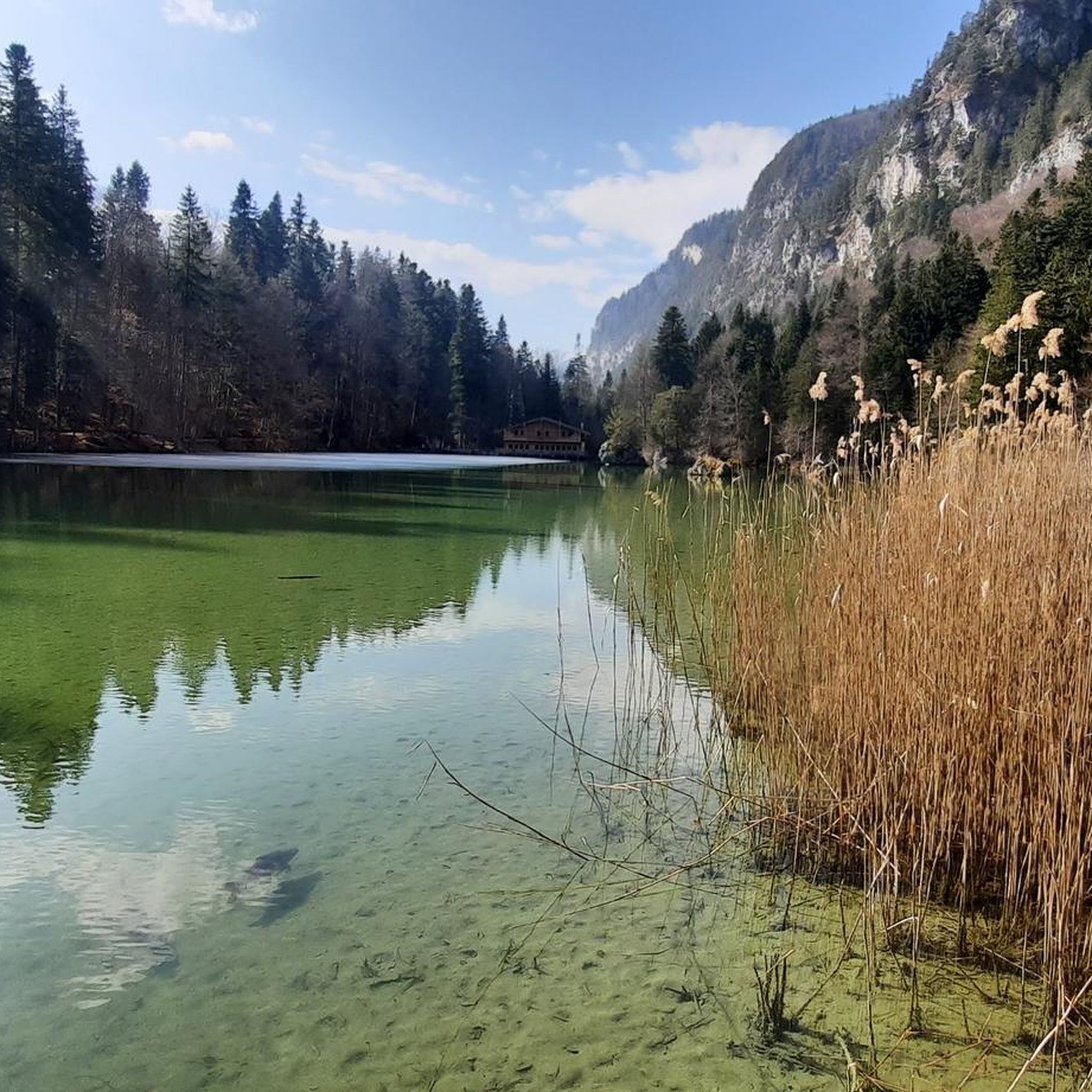
MTB Trails around Breitenbach am Inn
Hiking around Breitenbach am Inn
Road Cycling Routes around Breitenbach am Inn
Gravel biking around Breitenbach am Inn
Running Trails around Breitenbach am Inn

Tips from the Community

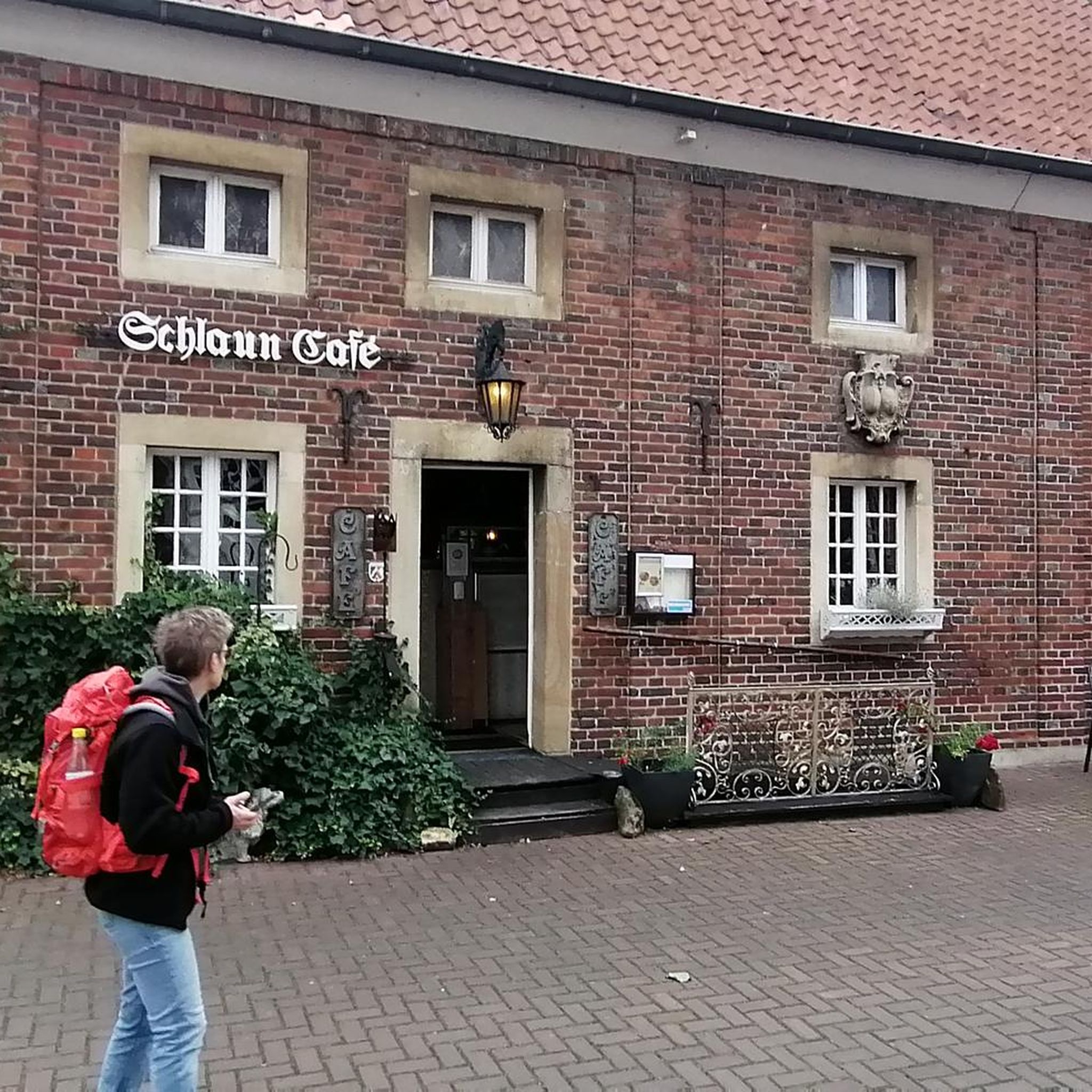
You can eat well here 👌
0
0

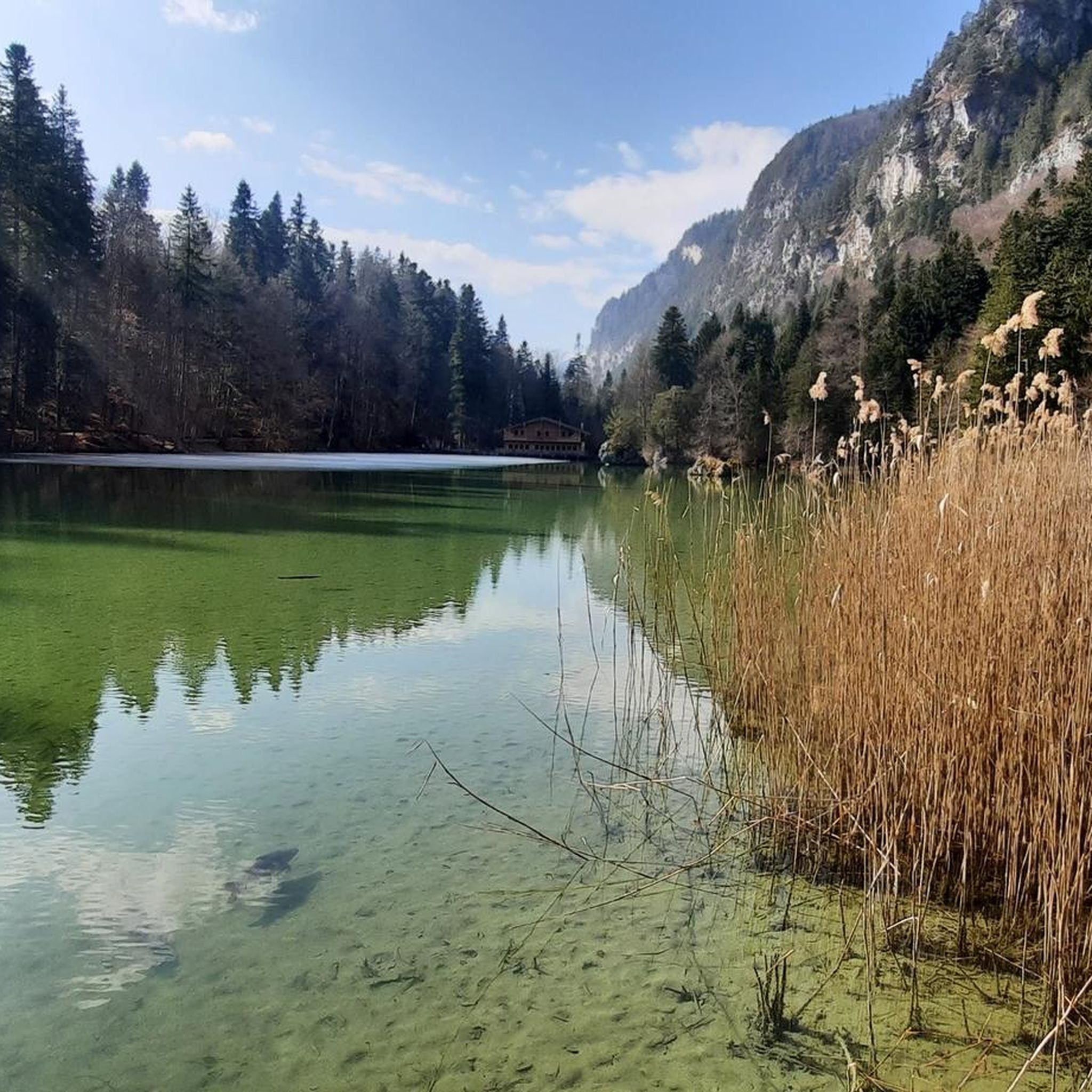
The climb is worth it: from up here, the water of the Reintaler See looks even more turquoise.
0
0
Brilliant view and a "bench" to linger. At the summit of Heuberg you can "kill a little time" ;-).
0
0

The Reintalersee in Alpbachtal is one of the warmest swimming lakes in Tyrol and a perfect destination for a relaxed tour. The circular path leads around the lake and is suitable for a leisurely bike ride. Along the way, there are beautiful views of the water and the surrounding mountains – also perfect for a swimming break in the summer.
0
0

A perfectly positioned bench for admiring sunsets. The climb up here isn't easy, though. The view from here is fantastic. There's even a shelf. Being south-facing, it's also accessible in winter with little snow.
0
0

Great area, great campsites, great trips 🤗
1
0

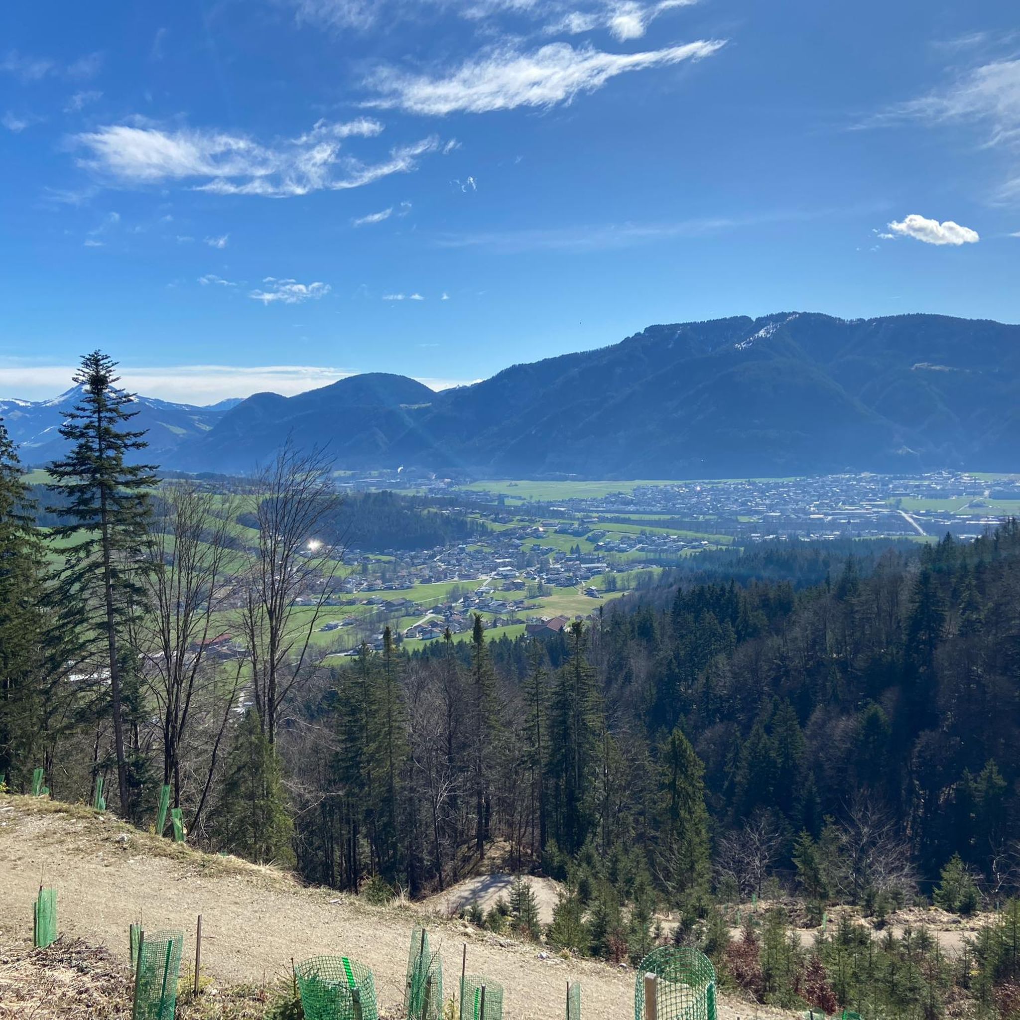
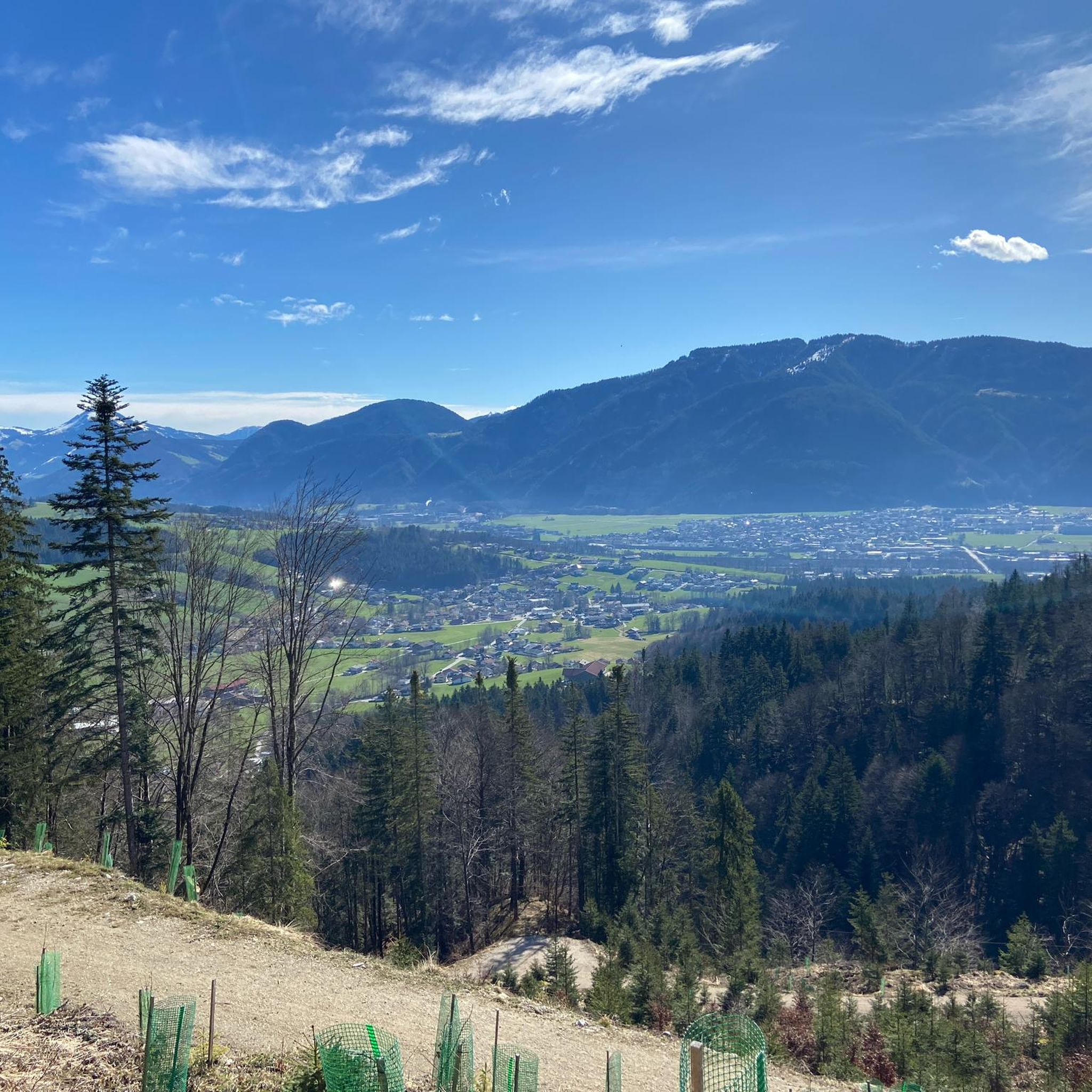
Here you can enjoy the view and watch skydivers jumping into the valley.
1
1

In just a few minutes you walk through a small depression from the eastern to the northern summit cross, where you can see a part of Brandenberg.
0
0
Frequently Asked Questions
How many mountaineering routes are available around Breitenbach am Inn?
Breitenbach am Inn offers a wide selection of mountaineering routes, with over 110 trails to explore. These routes cater to various skill levels, ranging from moderate ascents to challenging summit routes, ensuring there's something for every mountaineer.
Are there any easy or beginner-friendly mountaineering routes in the area?
While many routes are challenging, Breitenbach am Inn does offer some easier options. There are 5 routes classified as easy and 38 as moderate. For a gentle introduction, consider trails starting near the natural jewel Berglsteinersee, which also features an easy learning trail suitable for families.
What are some of the more advanced mountaineering routes for experienced climbers?
For experienced mountaineers, the region provides numerous demanding routes. The Plessenberg Summit (1,743 m) – Kienberg Summit (1,786 meters) loop from Breitenbach am Inn is a challenging 16.3 km path that includes ascents to two prominent summits. Another option is the View of the Inn Valley – Junction to Zunterköpfl Summit loop from Schönau, offering significant elevation gain and rewarding views.
Are there any circular mountaineering trails around Breitenbach am Inn?
Yes, many of the mountaineering routes in Breitenbach am Inn are circular, allowing you to start and end at the same point. A popular example is the View of Lake Reintal – View of the Reintaler See loop from Toteisloch am Krummsee, a difficult 5.5 km trail offering scenic views. Another is the Voldöppberg North Summit – Voldöppberg loop from Brandenberg Alps, a 7.4 km loop through the Brandenberg Alps.
What kind of natural attractions can I expect to see along the mountaineering routes?
The region is rich in natural beauty. You can encounter stunning gorges like the Kundler Gorge and Tiefenbach Gorge, known for their dramatic scenery. Higher up, you might reach prominent peaks with summit crosses such as the Schatzberg Summit Cross or the majestic Rofanspitze in the Rofan Mountains.
Are there any historical landmarks or castles near the mountaineering trails?
Yes, the area around Breitenbach am Inn features several historical landmarks. You can find impressive castles such as Matzen Castle and Kropfsberg Castle. The Mariastein Pilgrimage Church and Castle is also a notable site, offering a blend of history and spiritual significance.
What do other mountaineers say about the routes in Breitenbach am Inn?
The mountaineering routes around Breitenbach am Inn are highly regarded by the komoot community, boasting an impressive average rating of 4.8 stars from over 270 reviews. Mountaineers frequently praise the diverse terrain, from forested slopes to alpine ridges, and the spectacular panoramas offered throughout the region.
What is the best time of year for mountaineering in Breitenbach am Inn?
The best time for mountaineering in Breitenbach am Inn is generally from late spring through early autumn (May to October), when the trails are clear of snow and the weather is most favorable. During these months, you can fully enjoy the diverse landscapes and breathtaking views of the Rofan and Brandenberg Alps.
Are there options for public transport to reach mountaineering trailheads?
Breitenbach am Inn is situated in Tyrol, Austria, a region with a well-developed public transport network. While specific trailhead access varies, local bus services often connect villages and popular starting points. It's advisable to check local transport schedules for the most convenient options to your chosen route.
Can I find places to eat or stay near the mountaineering routes?
Yes, the region is well-equipped to welcome mountaineers. Numerous alpine huts are scattered along the trails, inviting you to take a break and enjoy regional specialties. Additionally, Breitenbach am Inn and surrounding villages offer various accommodation options, from guesthouses to hotels, providing comfortable bases for your adventures.
Are there any routes that offer particularly good views of the Inn Valley?
Absolutely. Breitenbach am Inn is located on the sunny side of the Inn Valley, and many elevated routes provide stunning vistas. The View of the Inn Valley – Junction to Zunterköpfl Summit loop from Schönau is specifically named for its panoramic views of the valley, offering a rewarding experience for those seeking scenic overlooks.
What are some of the prominent mountain ranges I'll encounter while mountaineering here?
You'll primarily be exploring the majestic Rofan Mountains and the expansive Brandenberg Alps. The Rofan Mountains, home to peaks like the Rofanspitze, offer dramatic alpine scenery, while the Brandenberg Alps provide extensive routes, including multi-day stages across its main ridge. The local mountain, Plessenberg, also offers promising views over the Inn Valley.
Most popular routes around Breitenbach am Inn
Most popular attractions around Breitenbach am Inn

Get inspired with the komoot mobile app


Explore more
Browse the best Mountain Hikes & Routes in other regions.
