The best mountain hikes around Weiz
5.0
(18)
431
hikers
30
hikes
Mountaineering around Weiz, nestled in the Austrian state of Styria, offers a diverse natural landscape characterized by numerous named mountains and varied terrain. The region features prominent peaks such as Stuhleck (1,782 m) and Hochlantsch (1,720 m), alongside unique geological formations like the Teufelstein. Steep rock faces and gentler hills provide a range of challenges, complemented by extensive forests and well-marked trails. This area is ideal for exploring mountainous environments.
Best mountaineering routes around Weiz
- The most popular mountaineering route…
Last updated: October 5, 2026
4.8
(5)
56
hikers
10.7km
04:12
590m
590m
Moderate mountaineering route. Good fitness required. Mostly accessible paths. Sure-footedness required.
5.0
(1)
35
hikers
5.50km
02:13
330m
330m
Hard mountaineering route. Good fitness required. Sure-footedness, sturdy shoes and alpine experience required.

29
hikers
6.16km
02:24
300m
300m
Hard mountaineering route. Good fitness required. Sure-footedness, sturdy shoes and alpine experience required.
5.0
(1)
24
hikers
14.1km
04:28
410m
410m
Moderate mountaineering route. Good fitness required. Mostly accessible paths. Sure-footedness required.
5.0
(1)
19
hikers
7.61km
02:48
460m
460m
Moderate mountaineering route. Good fitness required. Mostly accessible paths. Sure-footedness required.
5.0
(2)
23
hikers
8.60km
03:44
610m
610m
Hard mountaineering route. Good fitness required. Sure-footedness, sturdy shoes and alpine experience required.
20
hikers
5.07km
01:31
140m
140m
Moderate mountaineering route. Great for any fitness level. Mostly accessible paths. Sure-footedness required.
14
hikers
4.62km
01:57
400m
400m
Moderate mountaineering route. Good fitness required. Easily-accessible paths. Suitable for all skill levels.
12
hikers
17.6km
06:40
910m
910m
Hard mountaineering route. Very good fitness required. Sure-footedness, sturdy shoes and alpine experience required.
13
hikers
5.75km
02:28
430m
430m
Hard mountaineering route. Good fitness required. Sure-footedness, sturdy shoes and alpine experience required.
Get access to more routes and recommendations from other explorers.
Already have an account?
Our route recommendations are based on thousands of hikes, rides, and runs completed by other people on komoot.
Start today with a free account
Your next adventure awaits.
Popular around Weiz
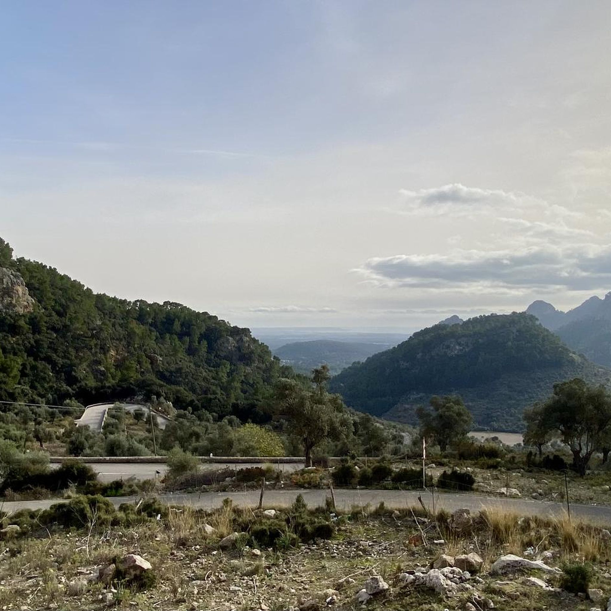
Mountain Hikes in Almenland
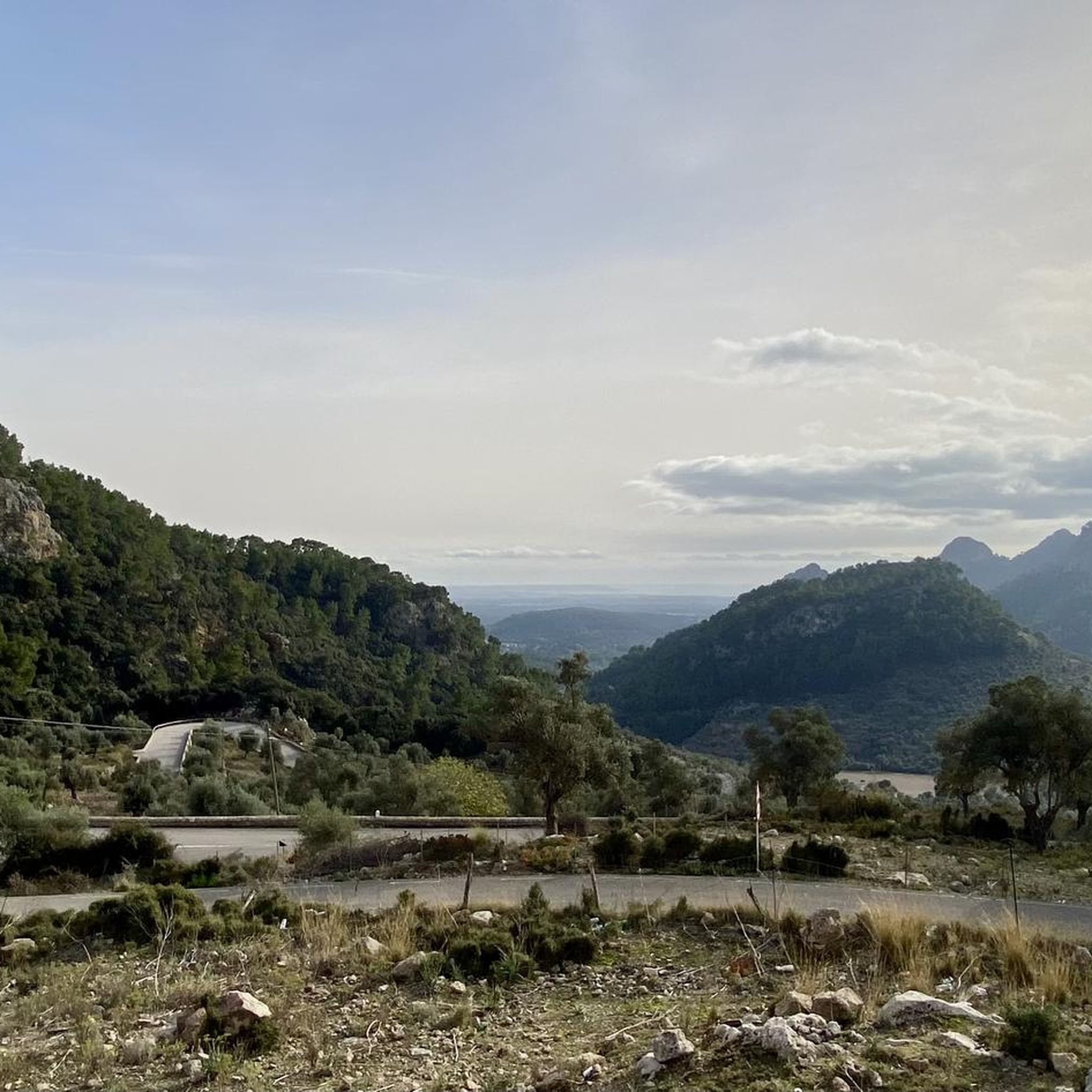
Mountain Hikes around St.Kathrein am Offenegg
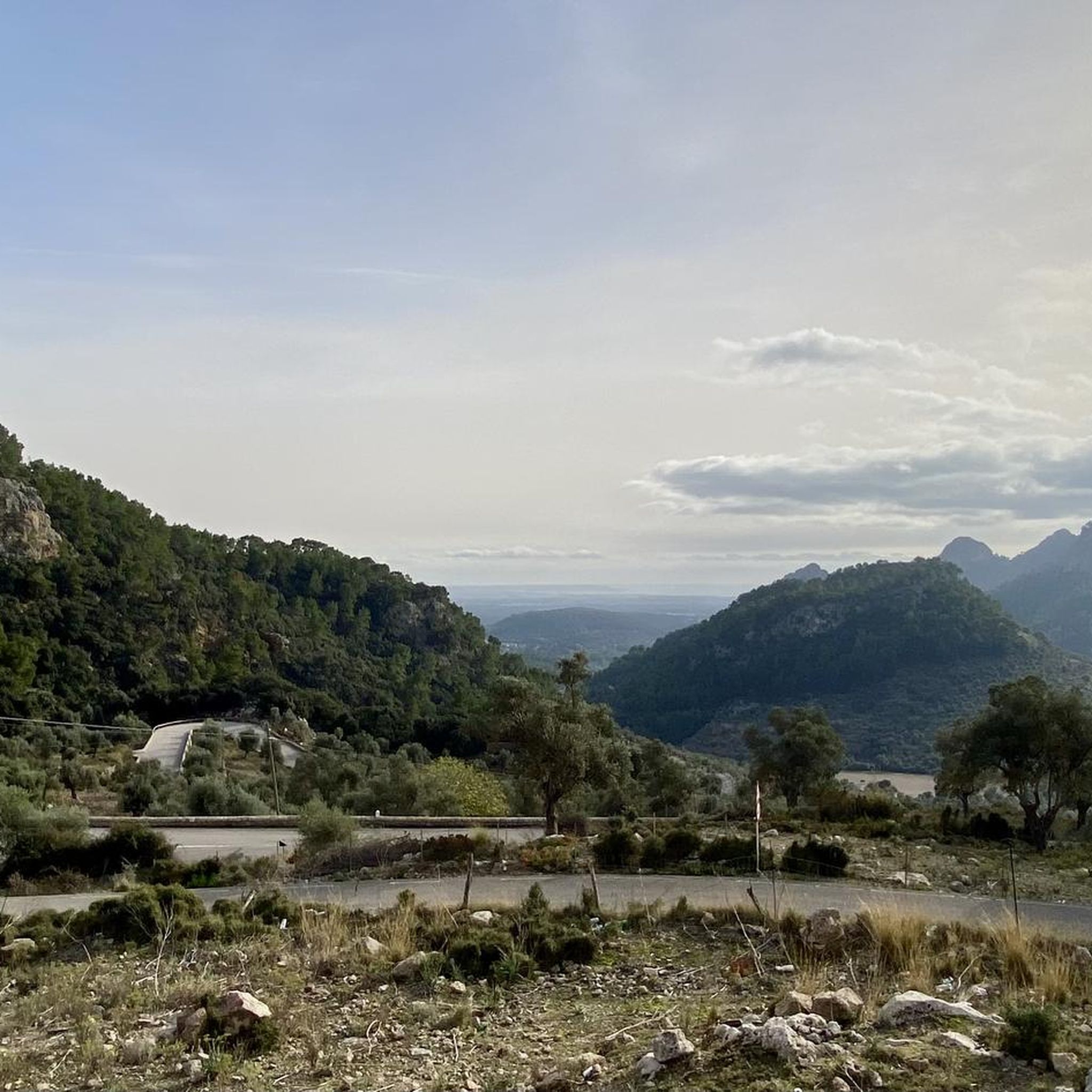
Mountain Hikes around Fladnitz an der Teichalm
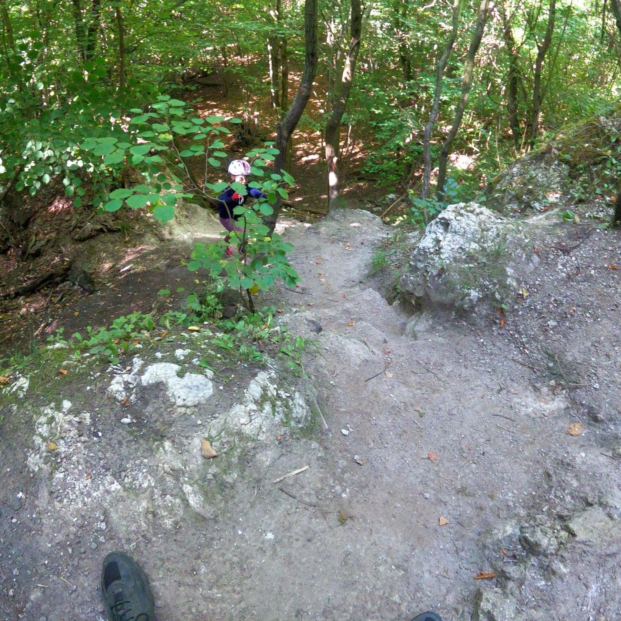
Mountain Hikes around Naas
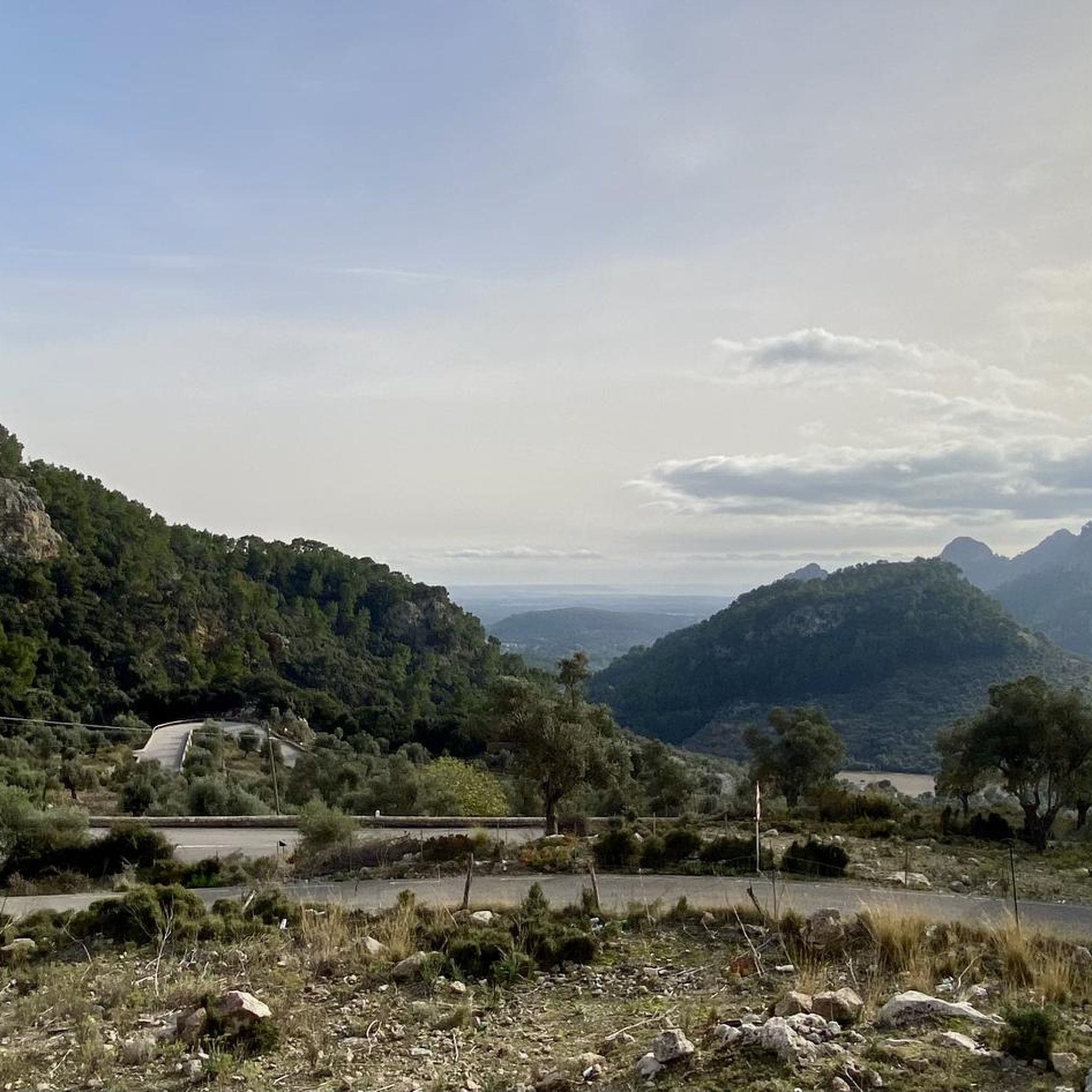
Mountain Hikes around Passail
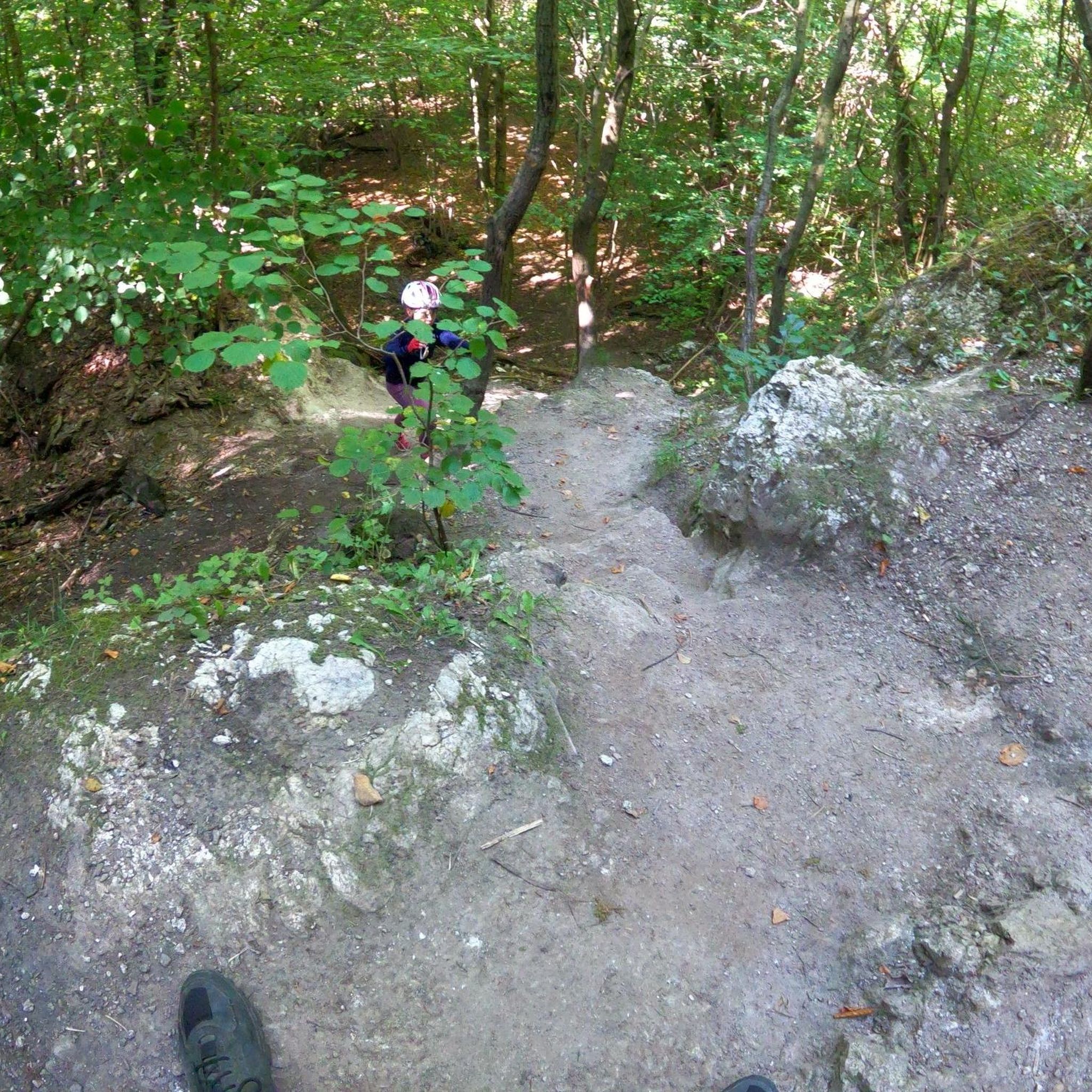
Mountain Hikes around Mortantsch
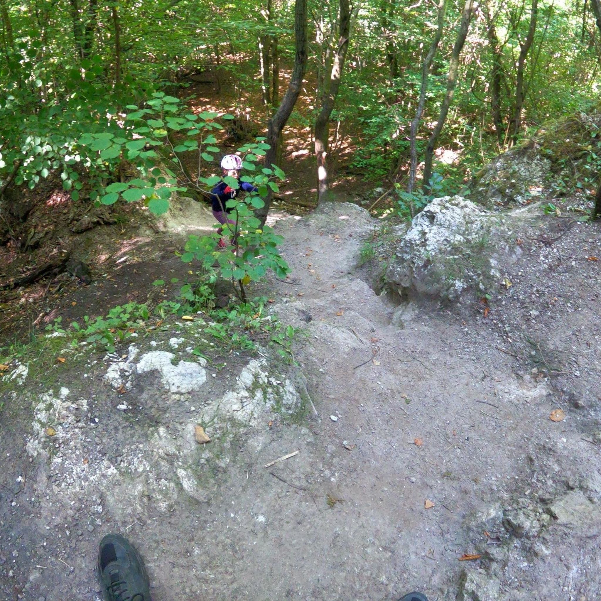
Mountain Hikes around Gutenberg-Stenzengreith
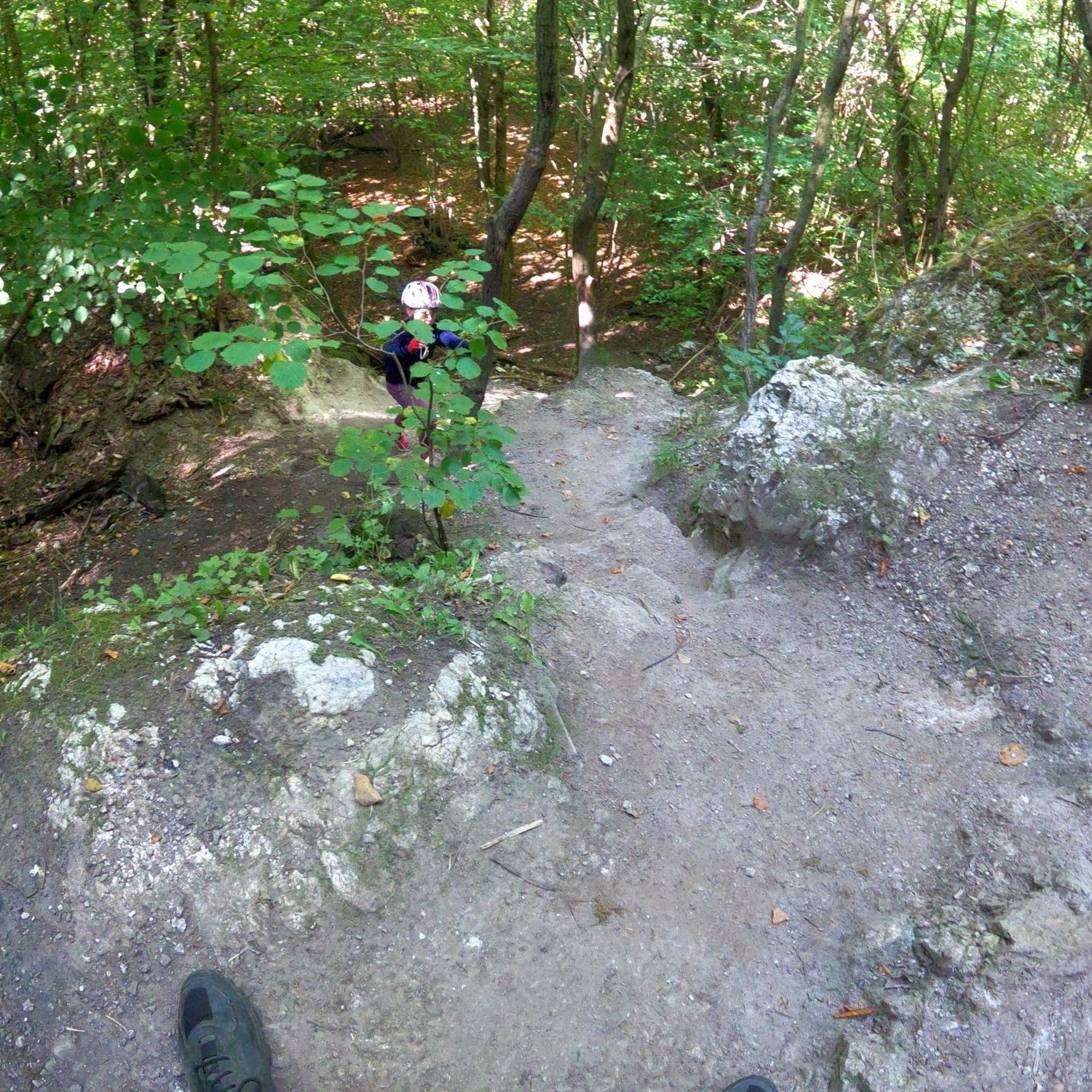
Mountain Hikes around Mitterdorf an der Raab
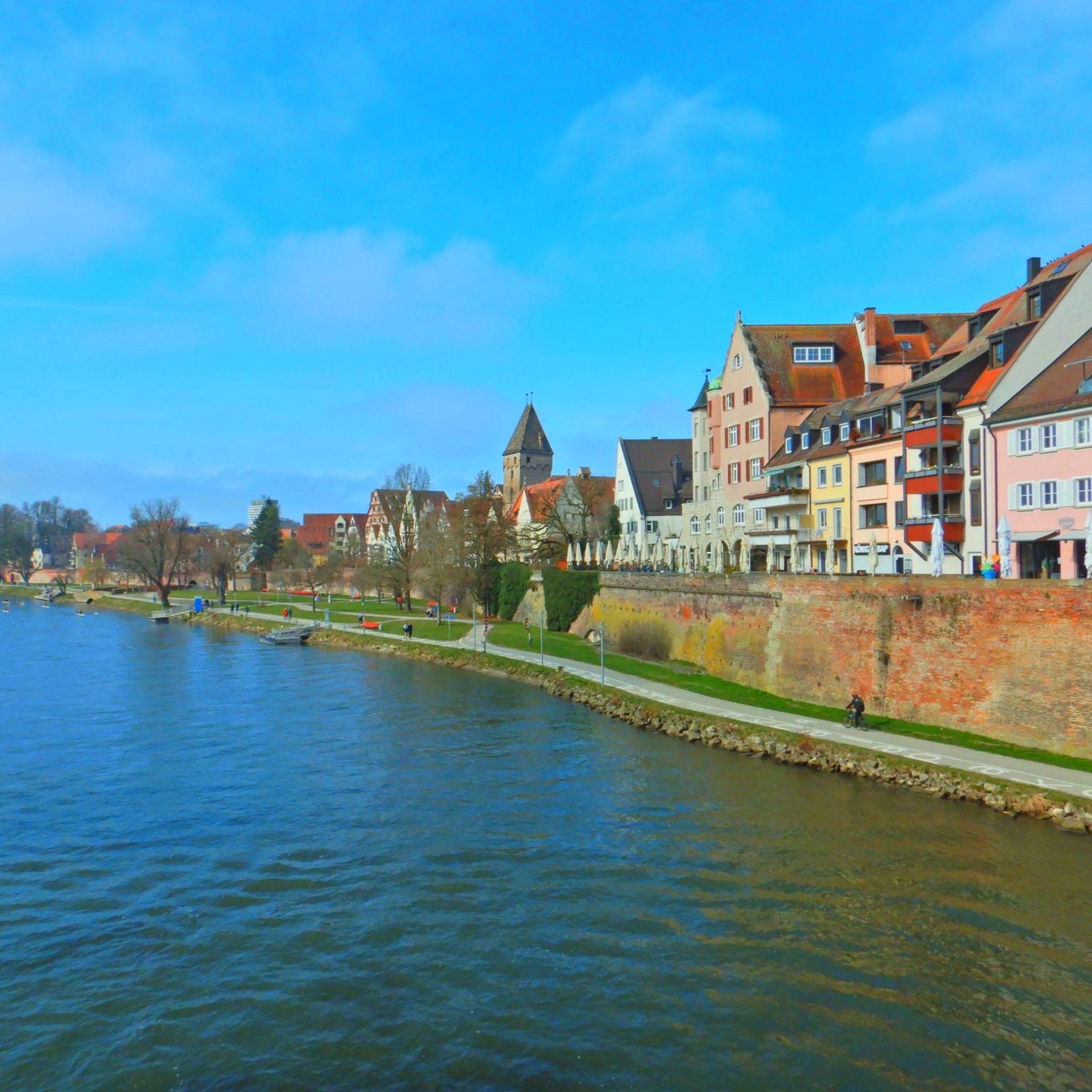
Mountain Hikes around Rettenegg
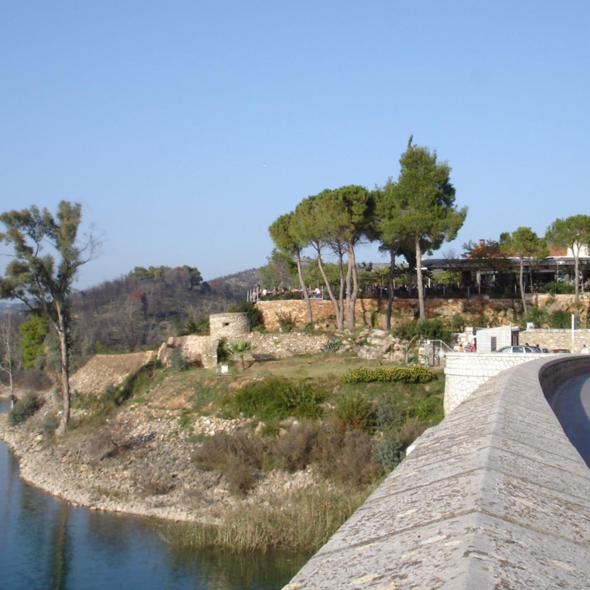
Mountain Hikes in Naturschutzgebiet Raabklamm
Other adventures around Weiz


Tips from the Community

Attached are the tour data for this highlight: https://www.komoot.com/de-de/user/2058612300722
0
0
attached the tour data to this highlight: https://www.komoot.com/de-de/user/2058612300722
0
0
Here are the tour data for this highlight: https://www.komoot.com/de-de/user/2058612300722
0
0

Beautiful mountain lake here on the Teichalm. Both a leisurely circuit and the many other hiking opportunities all around make this area a real "hiking hit".
0
0

Before the cross crowning the summit of the 'Hoher Zetz' here, I would like to recall a fitting thought from Bishop Reinhold Stecher (*1921, + 2013). Martin Kolozs, in a podcast by ORF, paid tribute to the beloved pastor: „Above all, the mountains... he preferably chose them as a symbol of the often questioned, often burdened, but equally often confirmed relationship between man and God, which manifests itself wonderfully and healingly in experiences with nature. For Reinhold Stecher, who climbed all the peaks around Innsbruck and celebrated countless mountain masses, respect for and protection of God's creation were equivalent to divine worship, as he was rock-solidly convinced: »Many paths lead to God. One leads over the mountains.« (Source: https://oe1.orf.at/programm/20180202/503400/Martin-Kolozs-ueber-Reinhold-Stecher )
0
0

A highlight you have to do once
3
0

There are several hiking trails leading up from Spittal am Semmering, and from the opposite side, Rettenegg, there is a planetary hiking trail leading up. I believe the least strenuous is the path from Pfaffensattel.
2
0

Actual descent from the climbing routes. Ascent with easy scrambling. (1-)
0
0
Frequently Asked Questions
How many mountaineering routes can I find around Weiz?
The Weiz region offers a diverse selection of over 30 mountaineering routes. These range from moderate ascents to more challenging summit climbs, providing options for various skill levels.
Are there routes suitable for beginners or families in Weiz?
Yes, Weiz has several routes suitable for beginners and families. There are 3 easy and 13 moderate routes available. For a moderate option, consider the Wild Alpine Ibex – Summit Cross Rote Wand loop from Rote Wand, which offers scenic views without extreme difficulty.
What are some challenging mountaineering routes in the Weiz region?
For those seeking a challenge, Weiz offers 17 difficult mountaineering routes. A notable option is the Hochlantsch Summit (1,720 m) – Mountain Church loop from Latschen-Hochmoor, which is a demanding 7.2-mile (11.6 km) trail leading to the prominent Hochlantsch summit.
Are there any circular mountaineering routes available around Weiz?
Many mountaineering routes in Weiz are designed as loops, allowing you to start and end at the same point. For example, the Pfaffensattel Pass Parking – Alois-Günther-Haus loop from Pfaffensattel is a moderate circular route that takes you through varied terrain.
What unique natural landmarks can I see while mountaineering in Weiz?
The Weiz region is rich in natural landmarks. You can explore prominent peaks like Stuhleck (1,782 m) and Hochlantsch (1,720 m) for breathtaking panoramas. Don't miss the unique rock formation of Teufelstein, a legendary site near its summit, or the impressive Weiz Gorge.
Are there any historical sites or castles near the mountaineering trails?
Yes, the area around Weiz features several historical sites. You can visit Freiberg Castle, the ruins of Waxenegg Castle, or the well-preserved Gutenberg Castle, which are all accessible from various points in the region.
What is the best time of year for mountaineering in Weiz?
The best time for mountaineering in Weiz is generally from late spring to early autumn (May to October), when the weather is milder and trails are clear of snow. Summer offers the warmest temperatures, while spring and autumn provide vibrant foliage and fewer crowds. Always check local weather conditions before heading out.
Can I bring my dog on the mountaineering trails in Weiz?
Many trails in the Weiz region are dog-friendly, but it's always best to check specific route regulations. Ensure your dog is well-behaved, kept on a leash where required, and that you carry waste bags. Always respect local wildlife and other hikers.
Where can I find parking for mountaineering routes around Weiz?
Many popular trailheads, especially for routes like those around Rote Wand, offer designated parking areas. For instance, the Buchebenalm – Rote Wand Parking Area loop indicates a starting point with parking. It's advisable to arrive early during peak seasons to secure a spot.
What do other mountaineers say about the routes in Weiz?
The mountaineering routes in Weiz are highly regarded by the komoot community, boasting an average score of 5.0 stars from over 20 reviews. Mountaineers frequently praise the diverse terrain, well-marked paths, and the stunning panoramic views from peaks like Hochlantsch and Stuhleck.
Are there any shorter, easier mountaineering options for a quick trip?
Yes, if you're looking for a quicker and less strenuous option, there are several shorter routes. The Rote Wand parking lot loop from Rote Wand is a moderate 3.1-mile (5.0 km) trail that can be completed in under 1.5 hours, offering a taste of the region's beauty.
What kind of terrain can I expect on the mountaineering routes around Weiz?
The terrain around Weiz is quite varied, ranging from extensive forested areas to steep rock faces and gentler hills. You'll encounter well-maintained paths, some rocky sections, and open alpine meadows, providing a diverse and engaging mountaineering experience.
Most popular routes around Weiz
Most popular attractions around Weiz

Get inspired with the komoot mobile app


Didn’t find what you were looking for?
Check out more Mountain Hikes & Routes throughout Weiz below and find the perfect route in your destination.
Explore more
Browse the best Mountain Hikes & Routes in other regions.
