The best walks and hikes around Montiaghroe
5.0
(1)
27
hikers
2
hikes
Hiking around Montiaghroe features trails that explore a landscape characterized by loughs, islands, and historical sites. The terrain is generally gentle, with minimal elevation changes, making it suitable for leisurely walks. Routes often pass by natural features such as Tom's Island and Old Archdale Castle, offering scenic views of the surrounding waters. The region's trails provide opportunities to experience its unique blend of natural beauty and historical landmarks.
Best hiking trails around Montiaghroe
- The most popular hiking route is Old…
Last updated: May 13, 2026
5.0
(1)
14
hikers
4.61km
01:12
30m
30m
Easy hike. Great for any fitness level. Easily-accessible paths. Suitable for all skill levels.
8
hikers
3.04km
00:48
20m
20m
Easy hike. Great for any fitness level. Easily-accessible paths. Suitable for all skill levels.

Sign up for free
1
hikers
10.4km
02:47
120m
120m
Moderate hike. Good fitness required. Easily-accessible paths. Suitable for all skill levels.
1
hikers
5.82km
01:34
80m
80m
Easy hike. Great for any fitness level. Easily-accessible paths. Suitable for all skill levels.
3
hikers
7.33km
01:57
70m
70m
Easy hike. Great for any fitness level. Easily-accessible paths. Suitable for all skill levels.
Our route recommendations are based on thousands of hikes, rides, and runs completed by other people on komoot.
Start today with a free account
Your next adventure awaits.
Login or Signup
Popular around Montiaghroe

Tips from the Community

Beautiful views over Lough Erne toward Tom's Island. Tom's Island is actually no longer an island, but once was before the lough was lowered.
2
0
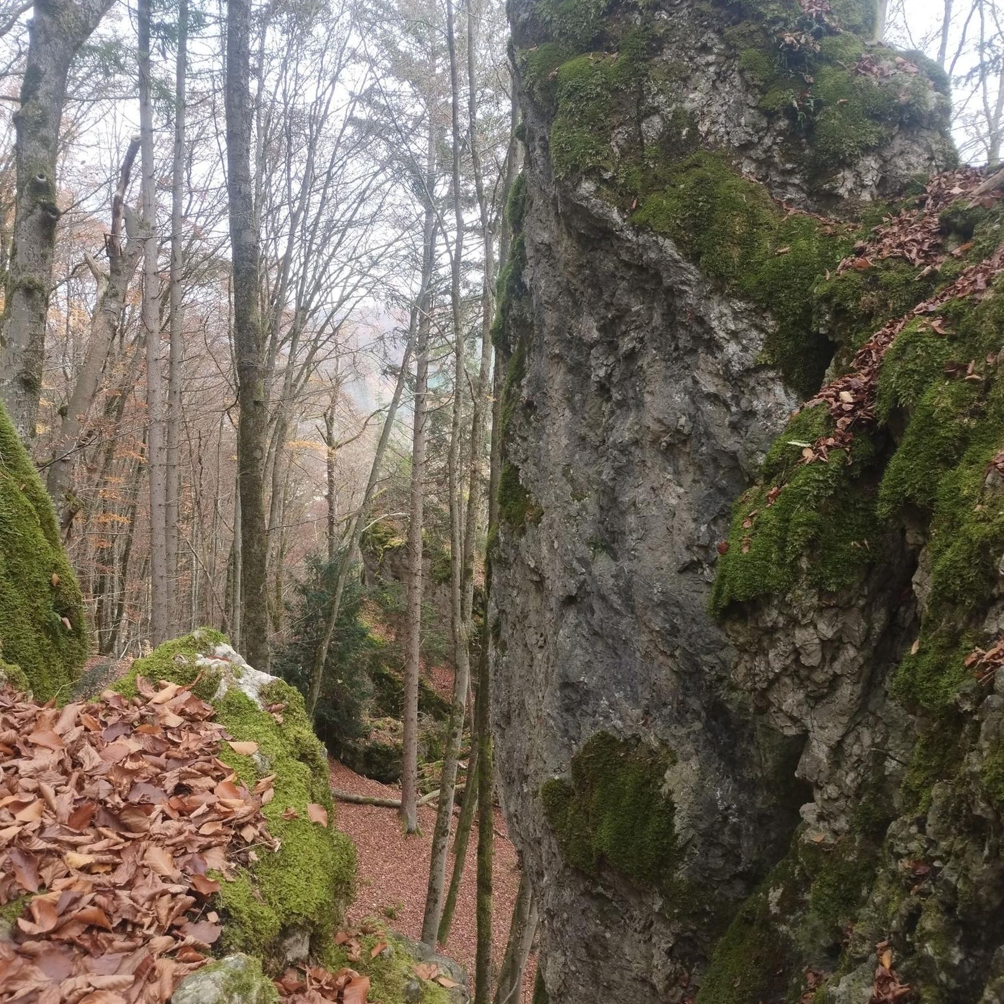
Old Castle Archdale is situated on Castle Hill within a 520 hectare coniferous and mixed broadleaved forest. The castle was built in the 1600s and was the main castle on this former estate before its successor took it's place in the 1800s, Castle Archdale.
2
0

Old Castle Archdale sits on a forest clifftop. It is named 'old' to distinguish it from its successor, the 18th century Castle Archdale. The castle was built by an Englishman from Suffolk who had been granted the estate in 1612 after paying 5 pounds, 6 shillings and 8 pence for the 1000 acres of land. During the Irish Rebellion of 1641 the castle was captured by Rory Maguire as part of the uprising to retake his lands that had been lost in 1607. The heir to the castle was saved by his nurse however the other children were killed. After the castle was returned to the family it was repaired and lived in until 1689. The castle saw its end during the Williamite Wars when the castle was burnt out and abandoned.
1
0

Perched atop a cliff and surrounded by thick forest, it's easy to imagine how life would have been hundreds of years ago as you wander the crumbling walls of Old Castle Archdale. Built in 1615 by Englishman John Archdale, the castle was captured by the Irish in the Irish Rebellion of 1641. The castle was inhabited until 1689, when it was destroyed by fire and abandoned.
0
0
Frequently Asked Questions
What kind of terrain can I expect on hiking trails around Montiaghroe?
Hiking around Montiaghroe primarily features generally gentle terrain with minimal elevation changes. You'll find paths exploring a landscape characterized by loughs (lakes), islands, and historical sites, offering scenic views of the surrounding waters. The trails are suitable for leisurely walks, with some moderate options providing slightly more elevation gain.
Are there any family-friendly hiking options in Montiaghroe?
Yes, Montiaghroe offers several easy routes that are suitable for families. For instance, the Old Archdale Castle via Tom's Island trail is an easy 2.9-mile (4.6 km) route that takes about an hour to complete, offering views of historical ruins and island scenery. The Lough Mulken loop from Lough Mulken is another easy option at 3.6 miles (5.8 km).
What historical sites or natural landmarks can I see while hiking in Montiaghroe?
Montiaghroe's trails often pass by significant historical and natural features. You can explore sites like Old Castle Archdale, which is featured on routes like the Old Archdale Castle via Tom's Island trail. Other notable attractions in the wider area include the Drumskinny Stone Circle, Cairn and Alignment, and the White Island Church and Carved Figures.
Are there any circular hiking routes available in Montiaghroe?
Yes, Montiaghroe features several excellent circular routes. The Aghafoy Lough loop from Pettigo is a moderate 6.5-mile (10.4 km) path that leads around Aghafoy Lough. Another popular option is the Old Castle Archdale – View of Tom's Island loop from White Island, which is an easy 4.5-mile (7.3 km) trail offering lough views and historical points of interest.
What do other hikers say about the trails in Montiaghroe?
The hiking routes in Montiaghroe are highly rated by the komoot community, with an average score of 5.0 stars. Hikers often praise the unique blend of natural beauty, including lough-side paths and island views, combined with historical castle ruins. The area is appreciated for its varied terrain, offering options from easy strolls to moderate loops.
Are there any longer or more challenging hikes in the Montiaghroe area?
While many trails in Montiaghroe are generally gentle, there are options for longer experiences. The Aghafoy Lough loop from Pettigo is a moderate 6.5-mile (10.4 km) path, providing a longer walk with slightly more elevation gain compared to the easier routes. This offers a good option for those looking for a bit more of a workout.
Is there parking available near the trailheads in Montiaghroe?
Specific parking information for each trailhead is best found on the individual route pages on komoot. However, given the nature of the area with historical sites and loughs, it's common to find designated parking areas near popular access points, especially for trails leading to attractions like Old Archdale Castle or lough-side paths.
What is the best time of year to go hiking in Montiaghroe?
The best time to hike in Montiaghroe generally aligns with milder weather conditions, typically from late spring through early autumn (May to September). During these months, you can expect more pleasant temperatures and less rainfall, making for more enjoyable walks along the loughs and through historical sites. Always check local weather forecasts before heading out.
Can I bring my dog on the hiking trails in Montiaghroe?
While specific regulations can vary by trail and land ownership, many outdoor areas in regions like Montiaghroe are dog-friendly, especially on public rights of way. It's always recommended to keep dogs on a leash, particularly around livestock, wildlife, or other hikers, and to clean up after them. Check individual route descriptions or local signage for any specific restrictions.
Are there places to eat or stay near the hiking trails in Montiaghroe?
Montiaghroe and the surrounding County Fermanagh area offer various options for refreshments and accommodation. While specific cafes, pubs, or hotels are not detailed in the trail data, you can typically find local establishments in nearby towns and villages that cater to visitors. It's advisable to research options in advance, especially during peak season.
How many hiking routes are there in Montiaghroe?
Komoot currently features several hiking routes around Montiaghroe, offering a variety of experiences. These include easy strolls and moderate loops, allowing hikers to explore the loughs, islands, and historical sites of the region.
Most popular routes around Montiaghroe
Most popular attractions around Montiaghroe

Get inspired with the komoot mobile app


Explore more
Browse the best Hikes in other regions.
