The best road cycling routes around Buckfastleigh
4.4
(31)
1,161
riders
125
rides
Road cycling around Buckfastleigh offers diverse landscapes and varied terrain, situated on the southern edge of Dartmoor National Park. The region features a mix of well-paved roads, country lanes, and challenging climbs, particularly within Dartmoor. Cyclists can encounter significant elevation gains, with some routes reaching over 1,200 meters, alongside more moderate and easy options. The area is characterized by the dramatic granite tors of Dartmoor, the meandering River Dart, and the rolling hills of the South Hams.
Best road cycling…
Last updated: July 23, 2026
17
riders
42.1km
02:29
880m
880m
Moderate road ride. Good fitness required. Mostly well-paved surfaces and easy to ride.
5.0
(1)
16
riders
55.2km
03:16
1,200m
1,200m
Hard road ride. Very good fitness required. Mostly well-paved surfaces and easy to ride.

Sign up for free
5.0
(1)
39
riders
53.7km
02:42
700m
700m
Moderate road ride. Good fitness required. Mostly well-paved surfaces and easy to ride.
5.0
(1)
32
riders
54.0km
03:14
1,100m
1,100m
Hard road ride. Very good fitness required. Mostly well-paved surfaces and easy to ride.
4.0
(1)
28
riders
37.7km
02:22
780m
780m
Moderate road ride. Good fitness required. Some segments of this route may be unpaved and difficult to ride.
Get access to more routes and recommendations from other explorers.
Sign up for free
Already have an account?
Our route recommendations are based on thousands of hikes, rides, and runs completed by other people on komoot.
Start today with a free account
Your next adventure awaits.
Login or Signup
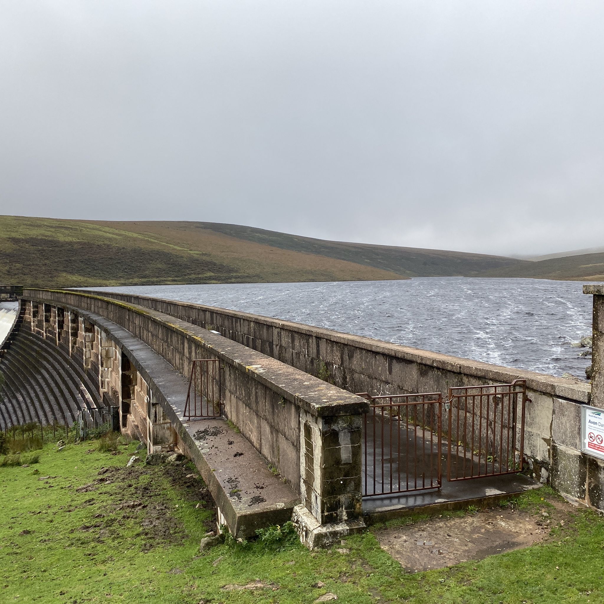
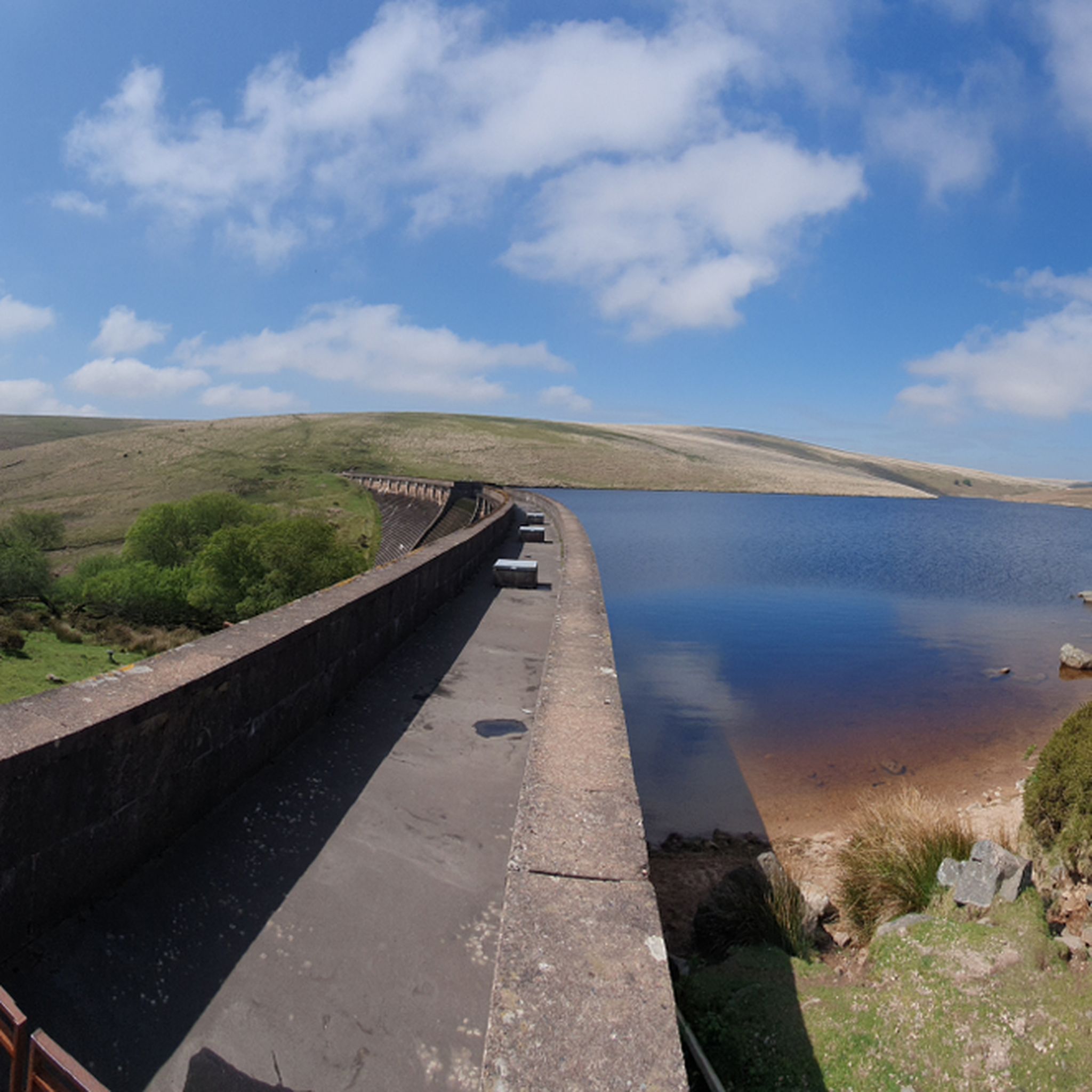
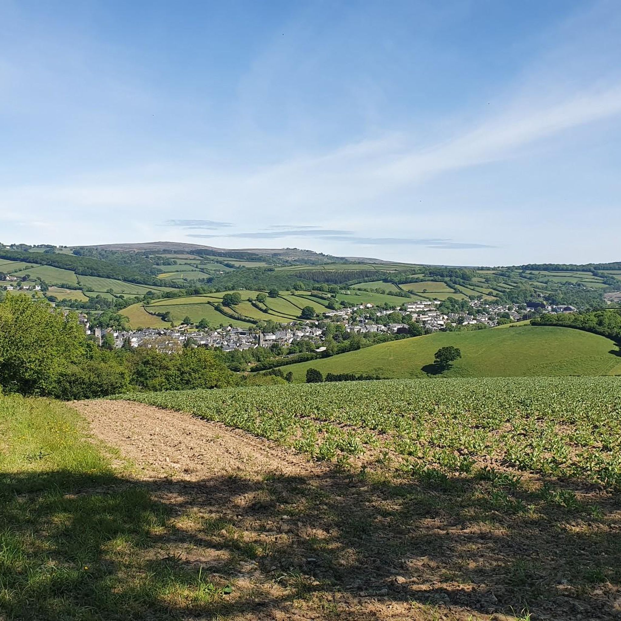
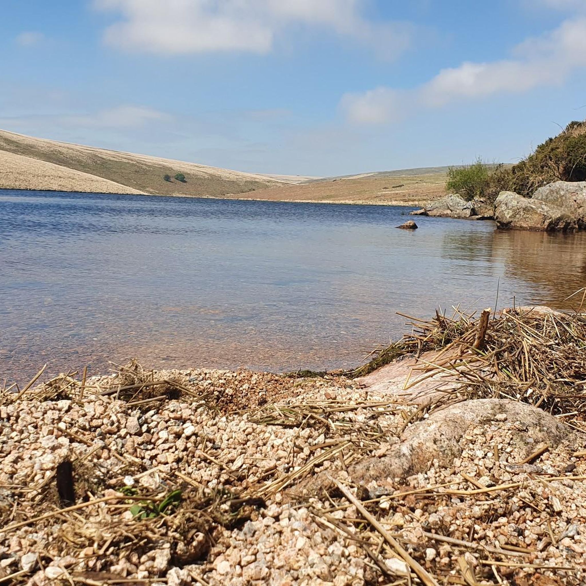
Tips from the Community


From here, you have beautiful views of the River Dart and the surrounding countryside. The park is a wonderful place to stroll and admire the beautiful plants and trees. It's a lovely place to relax.
0
0

Unfortunately, it's more of an expensive restaurant than a village pub. There's nothing to eat between breakfast, lunch and dinner. Large parking lot and an even larger beer garden.
1
0

Good coffee, friendly staff and good outdoor seating - popular with cyclists passing through Totnes
1
0


Ancient bridge across the river, a lovely spot for lunch.
0
0

hikers and cyclists always receive a warm welcome no matter how wet the weather, hearty portions of great food 😋
0
0
Frequently Asked Questions
How many road cycling routes are available around Buckfastleigh?
There are over 130 road cycling routes available around Buckfastleigh, offering a wide variety of options for different skill levels and preferences. These routes are highly rated by the komoot community, with an average score of 4.4 stars.
What are the difficulty levels of road cycling routes near Buckfastleigh?
The routes around Buckfastleigh cater to all fitness levels. You'll find 16 easy routes, 94 moderate routes, and 24 difficult routes. The challenging routes often venture into Dartmoor National Park, featuring significant climbs like the Dartmeet Climb, known for its steep gradients.
What notable landmarks or natural features can I see along road cycling routes near Buckfastleigh?
Many routes offer stunning views of Dartmoor's dramatic granite tors and the meandering River Dart. You can also pass by significant natural monuments such as Haytor Rocks and Dartmeet and Clapper Bridge. Some routes might even take you past Lydia Bridge Waterfall.
Are there any scenic viewpoints accessible by road bike around Buckfastleigh?
Yes, several routes offer access to breathtaking viewpoints. For instance, you might encounter Combestone Tor, Saddle Tor, and Rippon Tor, which provide expansive views of the Dartmoor landscape.
Are there family-friendly road cycling routes suitable for kids near Buckfastleigh?
While many routes involve challenging terrain, there are 16 easy routes available that are more suitable for families and children. These routes typically have less elevation gain and are on well-paved surfaces, offering a gentler introduction to road cycling in the area. A new cycle trail between Totnes and Buckfastleigh is also being developed, which will further enhance family-friendly options.
Are there many circular road cycling routes in the Buckfastleigh area?
Yes, many of the road cycling routes around Buckfastleigh are designed as loops, allowing you to start and finish at the same point. Examples include the challenging Dartmeet, Widecombe & Hay Tor loop from Ashburton and the scenic Devon Country Lane – Scenic Road to Hound Tor loop from Ashburton.
What is the best time of year for road cycling around Buckfastleigh?
The best time for road cycling around Buckfastleigh is generally from spring through autumn. Summer offers warmer weather, but Dartmoor can be exposed. Spring and autumn provide pleasant temperatures and beautiful scenery, though some higher elevation routes might be more exposed to wind or rain. Winter cycling is possible, but be prepared for colder, potentially wet conditions, especially on Dartmoor.
Where can I find parking for road cycling trails in Buckfastleigh?
Parking is generally available in and around Buckfastleigh, particularly at trailheads or designated car parks near popular starting points for routes. When planning your ride, check the specific route details on komoot for recommended parking locations.
Can I access road cycling routes near Buckfastleigh using public transport?
Buckfastleigh has a train station for the South Devon Railway, a heritage line. For accessing road cycling routes, consider public bus services that connect to nearby towns and villages, some of which may allow bikes or have bike racks. Planning your route to start near a public transport hub can be beneficial.
Are there any long-distance road cycling routes originating from Buckfastleigh?
Yes, Buckfastleigh is well-positioned to access longer routes, including segments of the 'Dartmoor Way & the High Moorland Link.' Routes like Two Bridges and Dartmeet from Ashburton offer substantial distances, and you can link multiple routes for extended rides across Dartmoor and the South Hams.
What kind of terrain can I expect on road cycling routes around Buckfastleigh?
The terrain around Buckfastleigh is varied. You'll find mostly well-paved roads and quiet country lanes. However, routes venturing into Dartmoor National Park can include significant climbs and descents, with some segments being unpaved or requiring very good fitness due to steep gradients. The area is characterized by rolling hills, especially in the South Hams, and the dramatic granite landscape of Dartmoor.
Are there cafes or pubs along the road cycling routes for refreshments?
Yes, many routes pass through or near villages and towns where you can find cafes, pubs, and other amenities. For example, the Cafe 3 Sixty – Hemsworthy Gate loop from Ashburton specifically highlights a cafe stop. It's always a good idea to check the route details or a map for refreshment points before you set off.
Most popular routes around Buckfastleigh
Most popular attractions around Buckfastleigh

Get inspired with the komoot mobile app


Explore more
Browse the best Road cycling routes in other regions.
