The best mountain hikes around Gaal
4.2
(25)
339
hikers
20
hikes
Mountaineering routes around Gaal, a region in Austria, offer challenging ascents to prominent summits and scenic loops around alpine lakes. The landscape is characterized by high peaks, such as Kerschkern (2227 m) and Geierhaupt (2418 m), and includes features like Ingeringsee. The terrain primarily consists of demanding mountain paths, with significant elevation gains. This area provides a robust environment for experienced mountaineers seeking alpine challenges.
Best mountaineering routes around Gaal
- The most popular mountaineering route is Bergerhube – Kerschkern (2227…
Last updated: July 23, 2026
5.0
(1)
46
hikers
13.2km
05:42
960m
960m
Hard mountaineering route. Very good fitness required. Mostly accessible paths. Sure-footedness required.
4.5
(4)
37
hikers
14.2km
05:22
940m
940m
Hard mountaineering route. Very good fitness required. Mostly accessible paths. Sure-footedness required.

Sign up for free
5.0
(3)
30
hikers
11.7km
06:32
1,170m
1,170m
Hard mountaineering route. Very good fitness required. Sure-footedness, sturdy shoes and alpine experience required.
29
hikers
10.0km
06:01
1,220m
1,220m
Hard mountaineering route. Very good fitness required. Mostly accessible paths. Sure-footedness required.
4.0
(1)
24
hikers
10.1km
03:26
510m
510m
Moderate mountaineering route. Good fitness required. Mostly accessible paths. Sure-footedness required.
Get access to more routes and recommendations from other explorers.
Sign up for free
Already have an account?
Our route recommendations are based on thousands of hikes, rides, and runs completed by other people on komoot.
Start today with a free account
Your next adventure awaits.
Login or Signup
Popular around Gaal

Central Alps Trail Eastern Section – Discover Austria
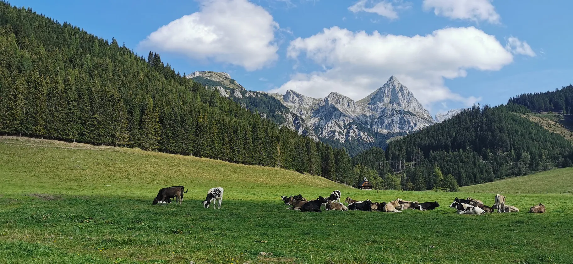
Via Alpina through Styria in Austria – From south to north

Eisenwurzen Trail – Hiking through Austria from north to south
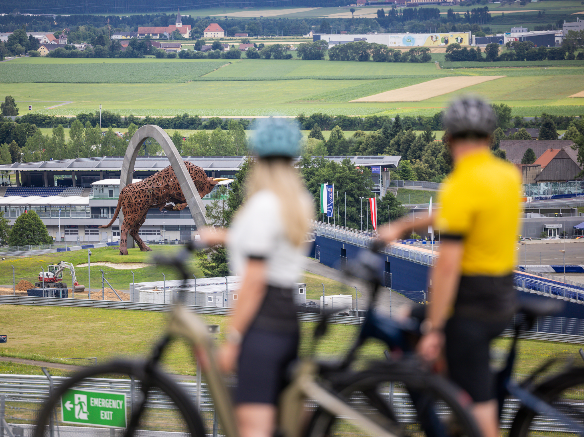
The Mix Makes It: Around the Red Bull Ring
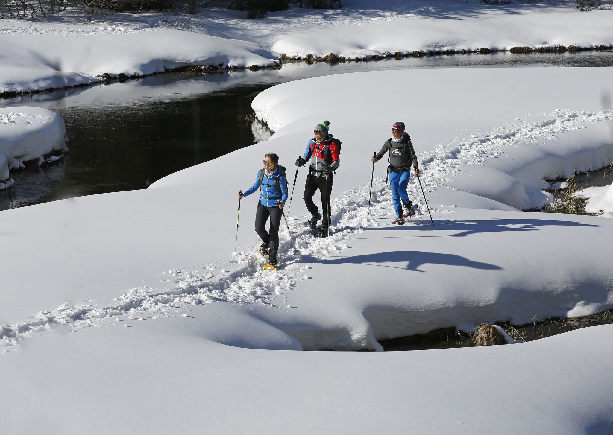
Boundless Austrian winterlust — snowshoeing in the Mur Valley

An alpine adventure – from east to west through Austria
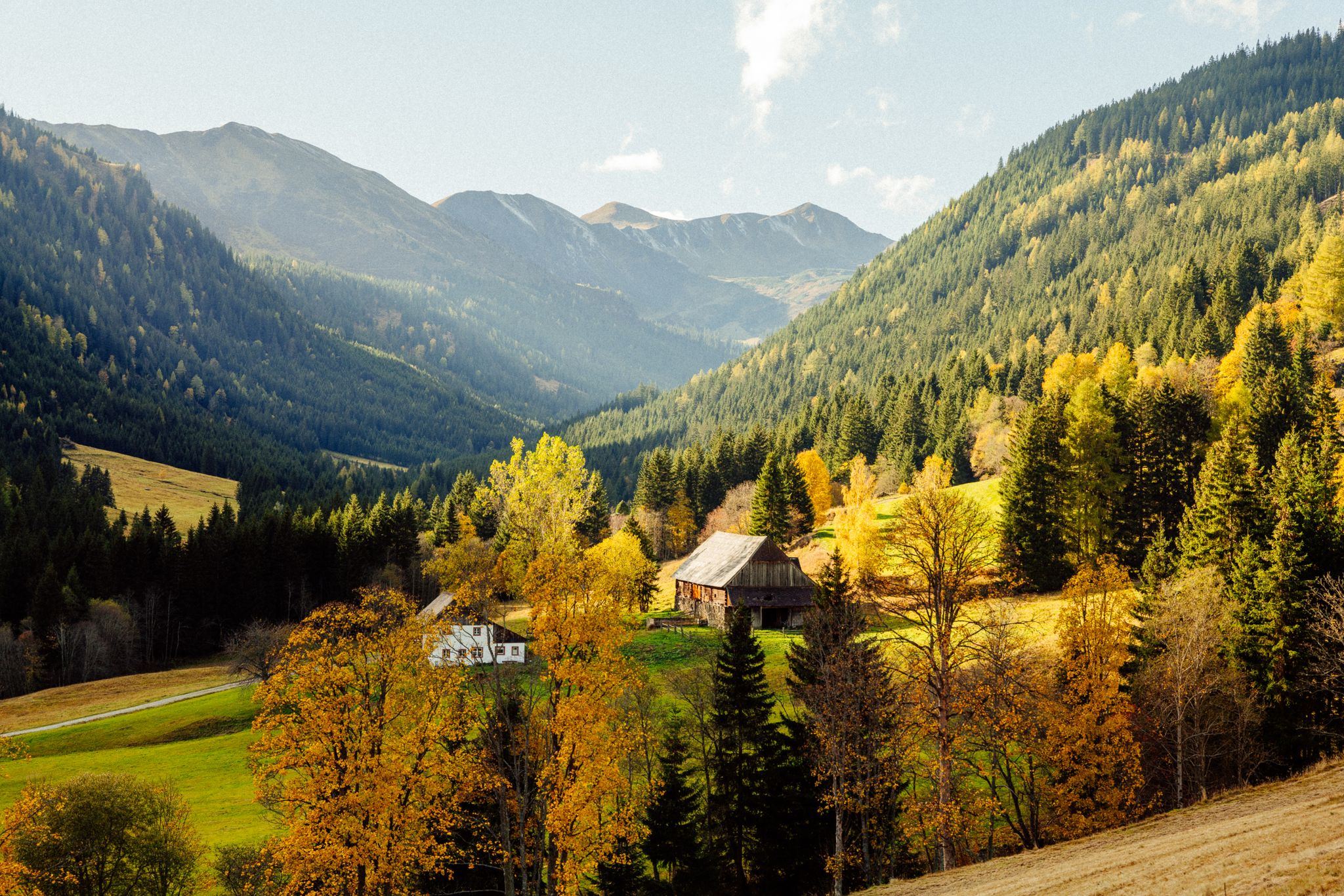
Z'HERBST in der Erlebnisregion Murtal
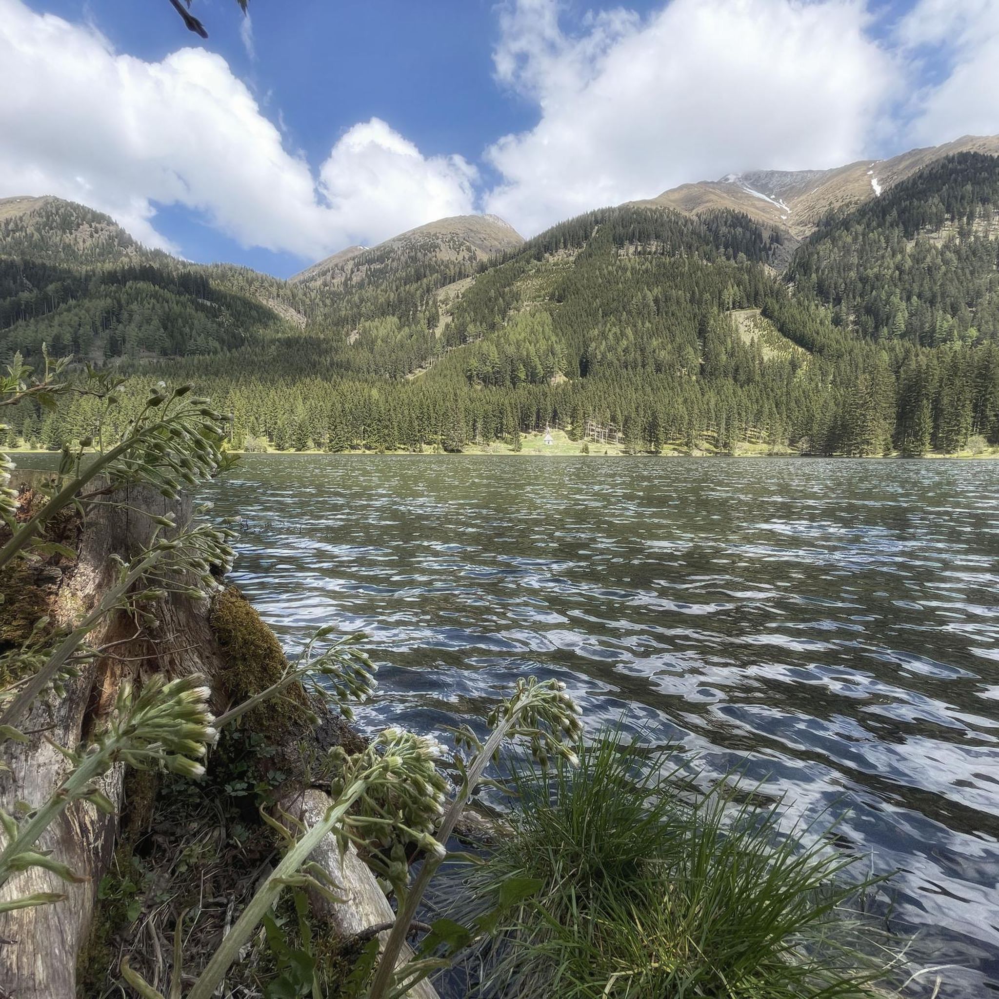
Cycling around Gaal
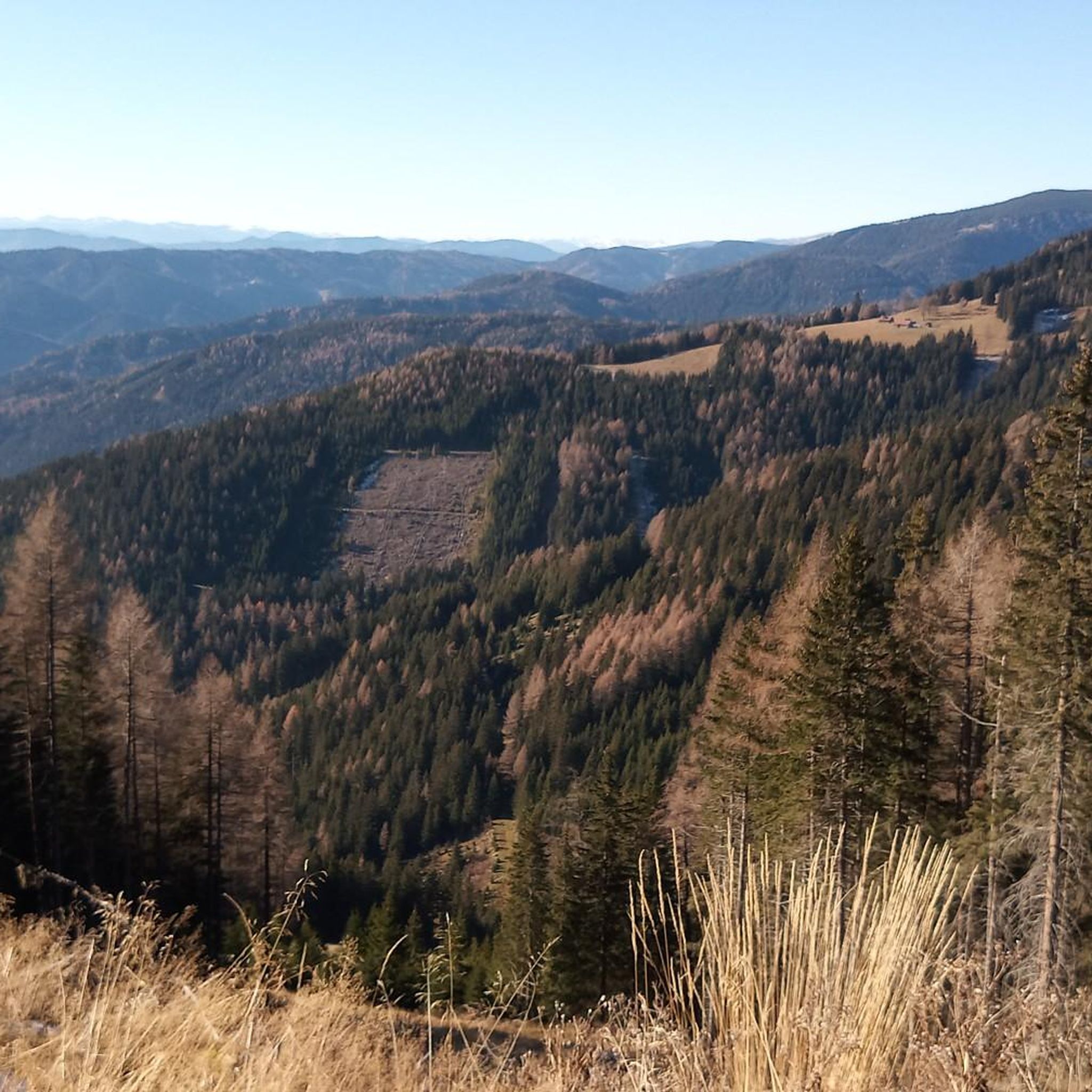
Hiking around Gaal
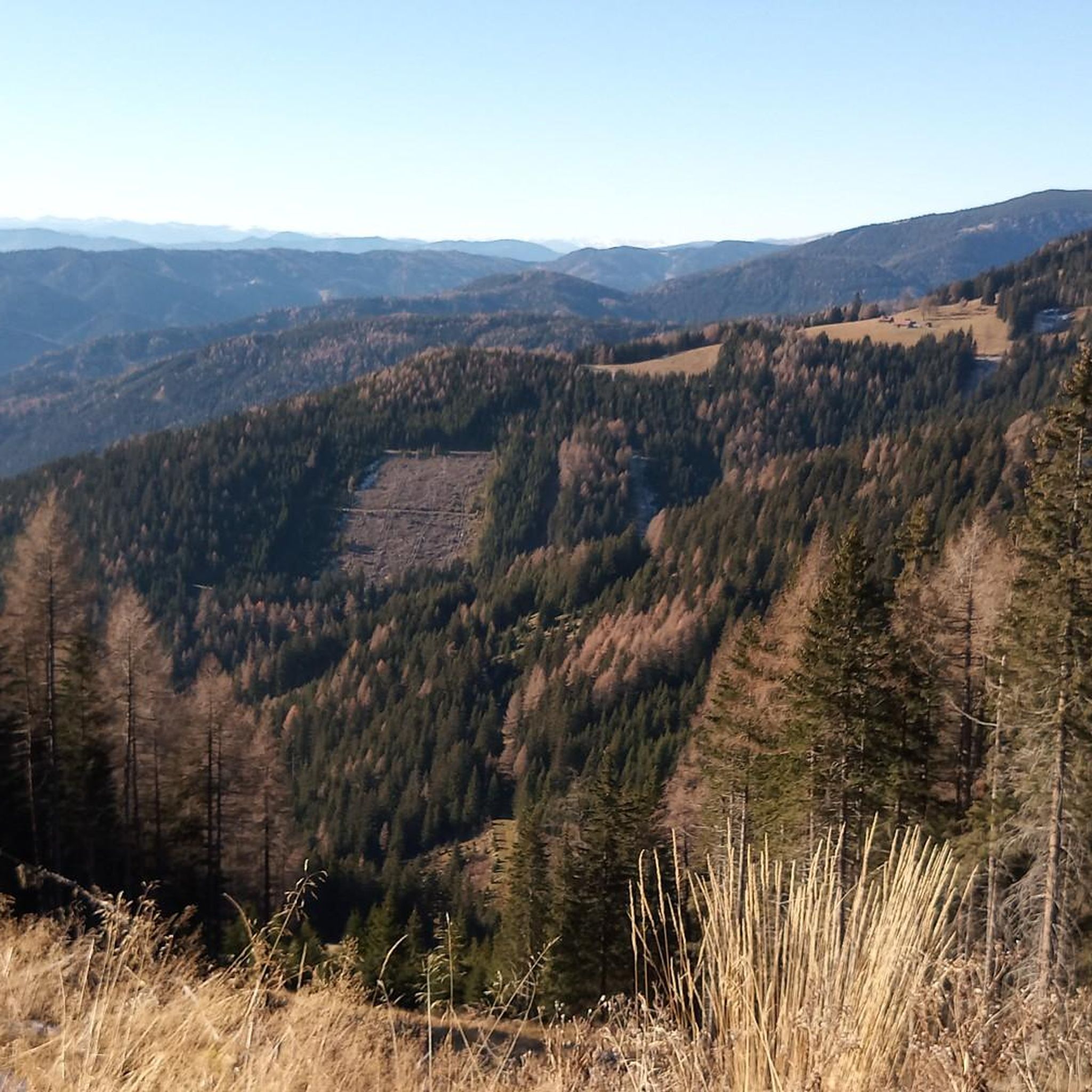
Road Cycling Routes around Gaal
Other adventures around Gaal


Tips from the Community


The Moaralm is idyllically situated at 1,543 meters and is accessible via a well-marked trail from the Bergerhube. It offers magnificent views of the surrounding peaks and is ideal for a rest on sunny days.
1
0
The Klementikapelle Chapel is picturesquely situated on Lake Ingering and offers a special place of tranquility with a view of the water. The short approach is easy and also suitable for families.
1
0
The Himmeleck summit offers a quiet location with impressive views of the Gesäuse. The approach requires surefootedness and alpine experience.
0
0

From the last paid parking lot (€5 only in coins) in Triebental it is an easy hike
0
0

Berger Hube has been family-owned since 1924 and is located at an altitude of 1,198 m Managed alpine hut with traditional home cooking. 4 rooms Room storage for 5 people Room storage for 10 people There are also motorhome parking spaces here. Paid parking lot - great hiking opportunities
1
0
From here the hiking trail splits in all directions and a bench invites you to take a short break with a view of Eisenerzer Reichenstein and Gößeck.
0
0
The summit is marked by a very beautiful summit cross. Descent in many serpentines to the Bärensuhlsattel with a wonderful view of the Hohe Tauern.
2
0
Frequently Asked Questions
How many mountaineering routes are available in Gaal?
Gaal offers a robust selection of over 20 mountaineering routes. These include 13 difficult and 10 moderate options, primarily catering to experienced mountaineers seeking alpine challenges.
Are there any circular mountaineering routes in Gaal?
Yes, many of the mountaineering routes in Gaal are designed as loops, allowing you to start and finish at the same point. For example, you can explore the challenging Bergerhube – Kerschkern (2227 m) loop from Griesmoarhube or the demanding Ingeringsee – Geierhaupt (2,418 meters) loop from Ingeringsee.
What natural landmarks or points of interest can I see along the routes?
The mountaineering routes in Gaal often feature stunning natural landmarks. The scenic Ingeringsee is a prominent feature, serving as a starting point for tours like the Ingeringsee – Geierhaupt (2,418 meters) loop. You'll also encounter high peaks such as Kerschkern (2227 m), Geierhaupt (2418 m), and Hochreichart, offering panoramic views.
Are there mountaineering routes suitable for beginners in Gaal?
The mountaineering routes around Gaal are generally demanding, characterized by significant elevation gains and challenging mountain paths. While there are 10 moderate routes, there are no routes classified as easy, making the area best suited for experienced mountaineers.
What do other mountaineers say about the routes in Gaal?
The routes in Gaal are highly rated by the komoot community, with an average score of 4.7 stars from over 20 reviews. More than 300 mountaineers have used komoot to explore Gaal's varied terrain, often praising the challenging ascents and picturesque mountain lakes.
Are there any family-friendly mountaineering options in Gaal?
Given the demanding nature of the terrain, with routes primarily classified as moderate or difficult and significant elevation gains, the mountaineering trails in Gaal are generally not considered suitable for families with young children or those seeking very easy walks.
Can I bring my dog on the mountaineering routes in Gaal?
While many mountain regions are dog-friendly, the challenging and often exposed nature of mountaineering routes in Gaal, with demanding ascents to high peaks, means that some sections might be difficult or unsafe for dogs, especially without prior experience or appropriate gear. Always check specific route conditions and local regulations before heading out with your dog.
Are there any routes that offer views of Ingeringsee?
Yes, the beautiful Ingeringsee is a central feature in the region. The View of Ingeringsee – Hochreichart Summit loop from P4 is specifically named for its views of the lake and leads to the Hochreichart Summit.
What is the best time of year for mountaineering in Gaal?
Given the high alpine character of Gaal's peaks and demanding routes, the best time for mountaineering is typically during the warmer months, from late spring to early autumn (roughly June to September), when snow has melted from higher elevations and weather conditions are more stable. Always check current weather forecasts and trail conditions before your trip.
Are there any historical or cultural attractions near the mountaineering routes?
Beyond the natural beauty, the Gaal region also has historical points of interest. You can find several castles nearby, such as the Ruins of Einödhof Castle or Wasserberg Castle, which offer a glimpse into the area's past.
Are permits required for mountaineering in the Gaal area?
There is no information indicating that specific permits are required for general mountaineering on the trails around Gaal. However, it's always advisable to check with local tourism offices or park authorities for any specific regulations or protected areas you might be entering.
Can I reach the mountaineering trailheads in Gaal by public transport?
Information regarding public transport access directly to the specific mountaineering trailheads in Gaal is not readily available. Most mountaineering routes in such regions often require personal vehicle access to reach the starting points, such as Griesmoarhube or Ingeringsee. It's recommended to plan for private transportation or research local bus services to nearby villages and then arrange for a taxi or shuttle if available.
Are there any amenities like pubs or restaurants near the trailheads?
While specific details about pubs directly at every trailhead are not provided, many alpine regions in Austria offer mountain huts or guesthouses (like 'Hütten' or 'Almen') that provide refreshments and sometimes accommodation. For example, the Bergerhube – Moaralm loop from Griesmoarhube suggests amenities might be found at locations like Bergerhube or Moaralm.
Most popular attractions around Gaal

Get inspired with the komoot mobile app


Explore more
Browse the best Mountain Hikes & Routes in other regions.
