The best walks and hikes around Radbourne CP
4.5
(314)
1,833
hikers
215
hikes
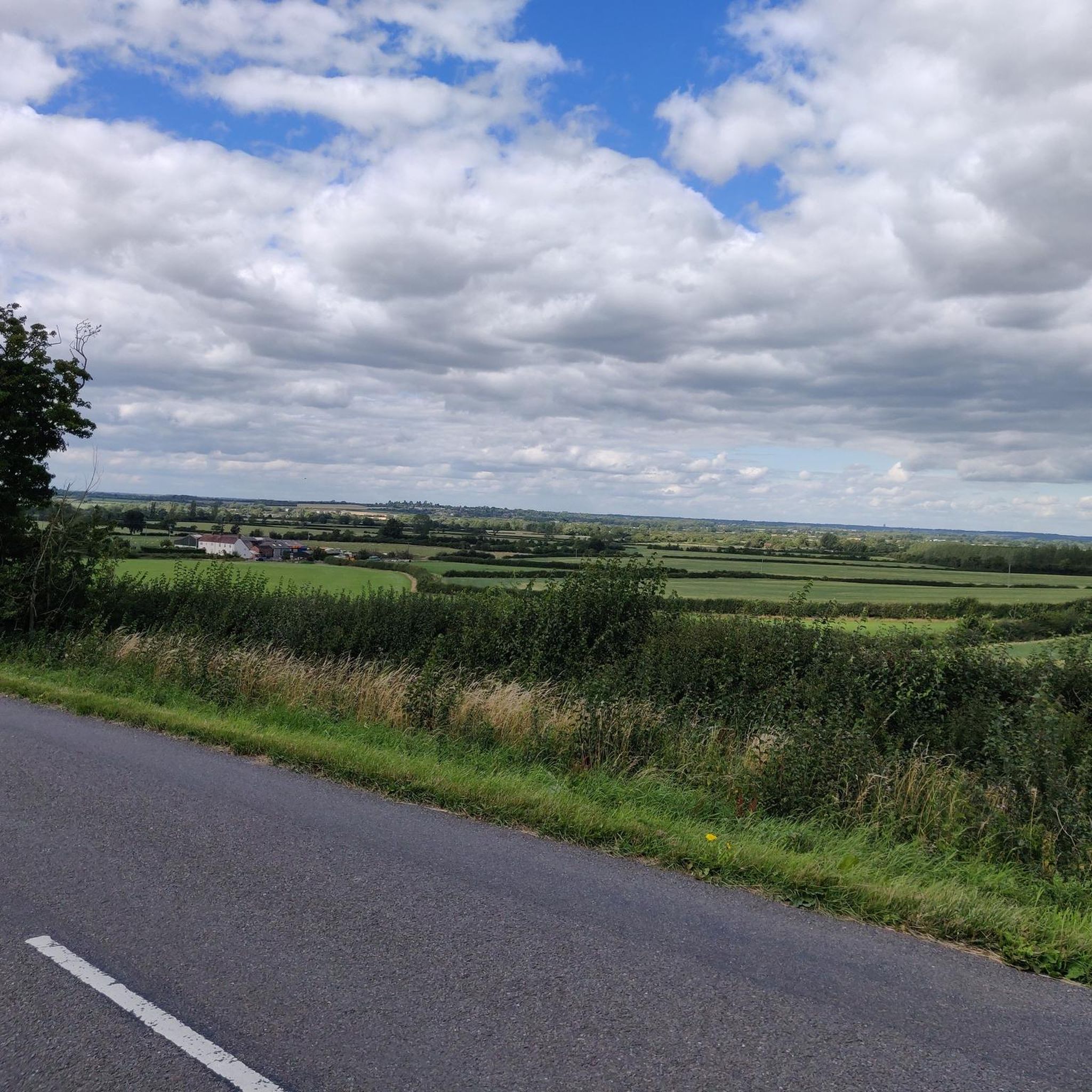
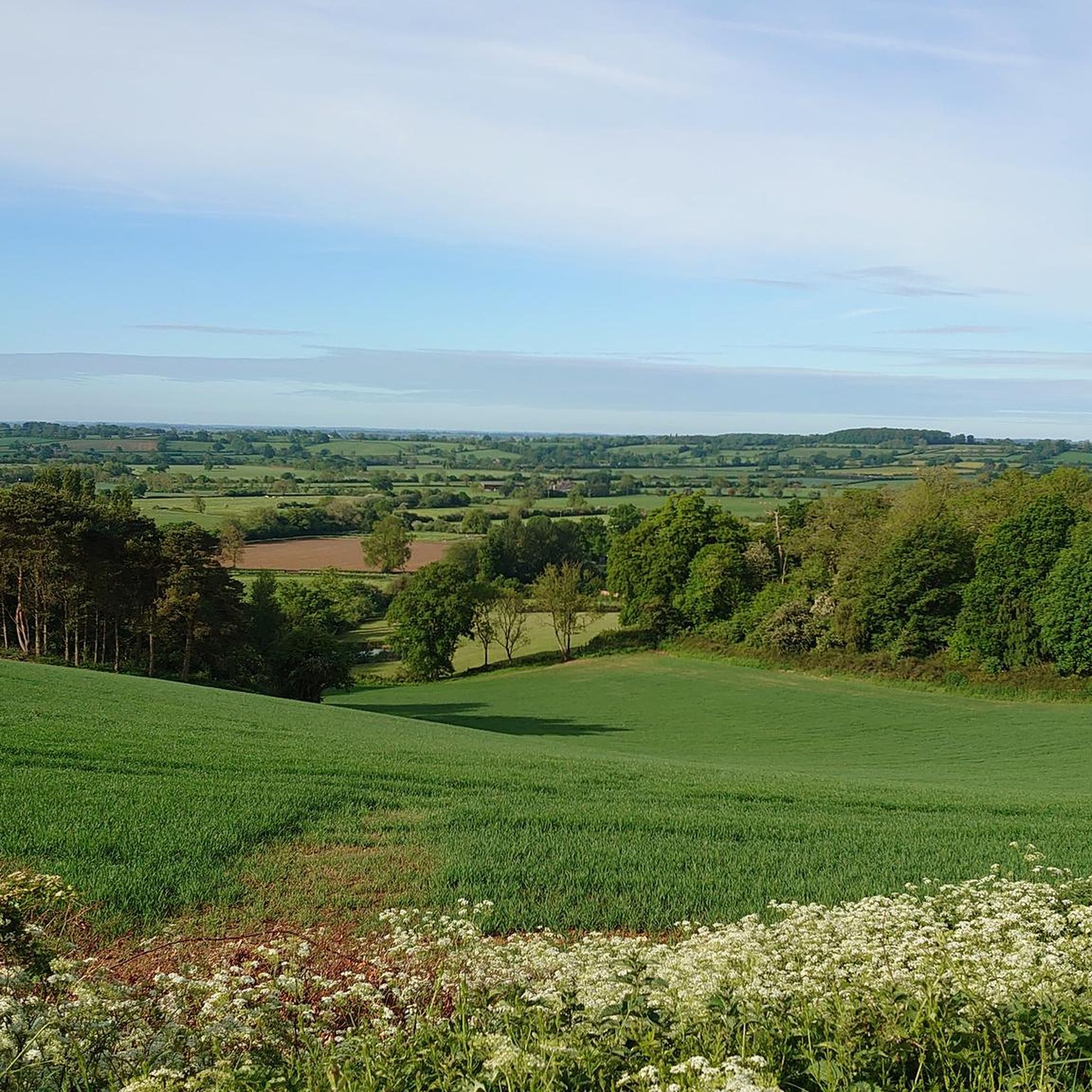
Hiking around Radbourne CP offers diverse landscapes, including pastureland, woodland, and parkland. The area features open countryside views and remnants of a former railway line, providing varied scenic experiences. Hikers can also observe medieval ridge and furrow farming systems, adding a historical dimension to the trails. The terrain includes accessible paths, with some routes traversing working farmland.
Best hiking trails around Radbourne CP
- The most popular hiking route is Napton Bottom Lock – The Folly at Tatenhill loop from Napton…
Last updated: August 16, 2026
4.0
(6)
34
hikers
Easy hike. Great for any fitness level. Easily-accessible paths. Suitable for all skill levels.
4.0
(5)
14
hikers
Easy hike. Great for any fitness level. Easily-accessible paths. Suitable for all skill levels.

Sign up for free
5.0
(3)
23
hikers
Moderate hike. Good fitness required. Easily-accessible paths. Suitable for all skill levels.
4.8
(6)
20
hikers
Moderate hike. Good fitness required. Easily-accessible paths. Suitable for all skill levels.
4.7
(3)
9
hikers
Moderate hike. Good fitness required. Easily-accessible paths. Suitable for all skill levels.
Get access to more routes and recommendations from other explorers.
Sign up for free
Already have an account?
Our route recommendations are based on thousands of hikes, rides, and runs completed by other people on komoot.
Start today with a free account
Your next adventure awaits.
Login or Signup
Tips from the Community


Napton Bridge No 110 is a minor waterways place on the Oxford Canal (Southern Section - Main Line) between Old Engine House Arm Junction (2 miles and 5¾ furlongs and 7 locks to the south) and Napton Junction (Junction of Grand Union and Oxford Canals) (3¾ furlongs to the east). The nearest place in the direction of Old Engine House Arm Junction is Bridge Inn Winding Hole; 3 furlongs away. The nearest place in the direction of Napton Junction is Coventry Road Bridge No 109; ¾ furlongs away.
0
0
Napton Bridge No 111 is a place on the waterways on the Oxford Canal (Southern Section - Main Line) between Old Engine House Arm Junction (2 miles and 2½ furlongs and 7 locks to the south) and Napton Junction (Junction of Grand Union and Oxford Canals) (7 furlongs to the east). The nearest place in the direction of Old Engine House Arm Junction is Napton Brickyard Bridge No 112; 3½ furlongs away. The nearest place in the direction of Napton Junction is The Bridge PH (Napton) (Closed May 2016); a few yards away.
0
0
Napton Brickyard Bridge No 112 is a minor waterways place on the Oxford Canal (Southern Section - Main Line) between Old Engine House Arm Junction (1 mile and 7 furlongs and 7 locks to the south) and Napton Junction (Junction of Grand Union and Oxford Canals) (1 mile and 2¼ furlongs to the northeast). The nearest place in the direction of Old Engine House Arm Junction is Winding Hole below Napton Locks; 4¼ furlongs away. The nearest place in the direction of Napton Junction is Napton Bridge No 111; 3½ furlongs away.
0
0
Napton Bottom Lock No 8 is a place on the waterways on the Oxford Canal (Southern Section - Main Line) between Old Engine House Arm Junction (1 mile and ¾ furlongs and 6 locks to the south) and Napton Junction (Junction of Grand Union and Oxford Canals) (2 miles and ¾ furlongs to the northeast). It is at one end of Napton Locks. The nearest place in the direction of Old Engine House Arm Junction is Napton Lock No 9; 1 furlong away. The nearest place in the direction of Napton Junction is Napton Sanitary Station; ¼ furlongs away. This is a lock with a rise of 5′5″.
0
0
Folly Bridge No 113 is a minor waterways place on the Oxford Canal (Southern Section - Main Line) between Old Engine House Arm Junction (1 mile and 1 furlong and 7 locks to the south) and Napton Junction (Junction of Grand Union and Oxford Canals) (2 miles and ¼ furlongs to the northeast). The nearest place in the direction of Old Engine House Arm Junction is Napton Sanitary Station; a few yards away. The nearest place in the direction of Napton Junction is The Folly PH (Canalside); a few yards away.
0
0
Napton Lock No 10 is a minor waterways place on the Oxford Canal (Southern Section - Main Line) between Old Engine House Arm Junction (7 furlongs and 4 locks to the south) and Napton Junction (Junction of Grand Union and Oxford Canals) (2 miles and 2¼ furlongs and 2 locks to the northeast). It is part of Napton Locks. The nearest place in the direction of Old Engine House Arm Junction is Napton Lock No 11; ¾ furlongs away. The nearest place in the direction of Napton Junction is Gilkes Bridge No 114; ¼ furlongs away.
0
0
Gilkes Bridge No 114 is a minor waterways place on the Oxford Canal (Southern Section - Main Line) between Old Engine House Arm Junction (7¼ furlongs and 5 locks to the south) and Napton Junction (Junction of Grand Union and Oxford Canals) (2 miles and 2 furlongs and 2 locks to the northeast). It is part of Napton Locks. The nearest place in the direction of Old Engine House Arm Junction is Napton Lock No 10; ¼ furlongs away. The nearest place in the direction of Napton Junction is Napton Lock No 9; ¼ furlongs away.
0
0
Frequently Asked Questions
How many hiking trails are available in Radbourne CP?
Radbourne CP offers a wide selection of routes, with over 230 hiking trails to explore. These range from easy strolls to more moderate hikes, catering to various fitness levels.
What is the terrain like on the hiking trails around Radbourne CP?
The terrain in Radbourne CP is quite varied, encompassing pastureland, woodland, and parkland. You'll find easily-accessible paths, but some routes may not be suitable for wheelchairs or pushchairs due to natural ground conditions. Hikers often pass through working farmland, so it's important to be mindful of closing gates and not disturbing animals.
Are there easy hiking options suitable for beginners or families in Radbourne CP?
Yes, Radbourne CP has over 110 easy hiking routes. These trails are generally suitable for all skill levels, featuring accessible paths. An example of an easy route is the Napton Bottom Lock – The Folly at Tatenhill loop, which traverses varied terrain including open fields and sections of woodland.
Can I find circular hiking routes in Radbourne CP?
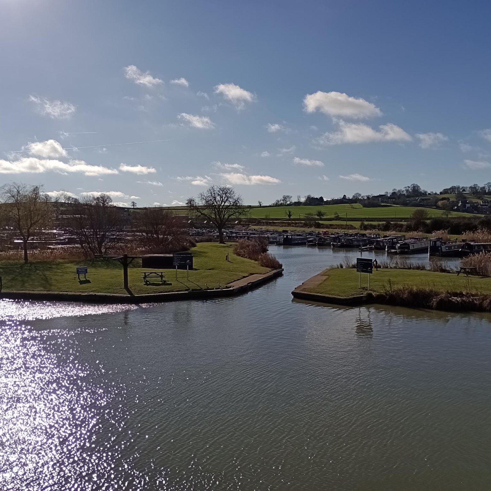
Yes, many of the hiking routes in Radbourne CP are circular, offering convenient loop options. For instance, the Napton Windmill – Napton Junction Marina loop is an easy circular path that provides scenic views over the open countryside.
What natural features or landmarks can I expect to see while hiking in Radbourne CP?
While hiking in Radbourne CP, you can expect to see diverse natural features. These include the Scots Pine plantation of Black Wood, remnants of a former Great Northern Railway line, and medieval ridge and furrow farming systems. The area also offers excellent views over the open countryside, which change considerably with each season.
Are there any historical sites or points of interest near the hiking trails?
Yes, the area around Radbourne CP features several historical sites. You might consider visiting All Saints' Church, Burton Dassett or St. Giles Church, Chesterton. These historical churches offer a glimpse into the region's past.
What do other hikers enjoy the most about hiking in Radbourne CP?
The hiking experience in Radbourne CP is highly rated by the komoot community, with an average score of 4.5 stars from over 250 reviews. Hikers often praise the varied landscapes, accessible woodlands, and the historical features like the former railway line, which add a unique dimension to the trails.
Are there any moderate hiking trails for those looking for a bit more challenge?
Yes, Radbourne CP offers over 110 moderate hiking trails for those seeking a more challenging experience. An example is the Napton Windmill – Napton Junction loop, which is a longer route leading through mixed parkland and open fields, typically taking over three hours to complete.
What is the best time of year to go hiking in Radbourne CP?
The walks in Radbourne CP are enjoyable year-round, as the scenery changes considerably with each season. Spring brings new growth, summer offers lush landscapes, autumn showcases vibrant colors, and winter provides a different, often quieter, beauty. The choice depends on your preference for weather and scenic views.
Are there any lakes or natural water features to see near Radbourne CP?
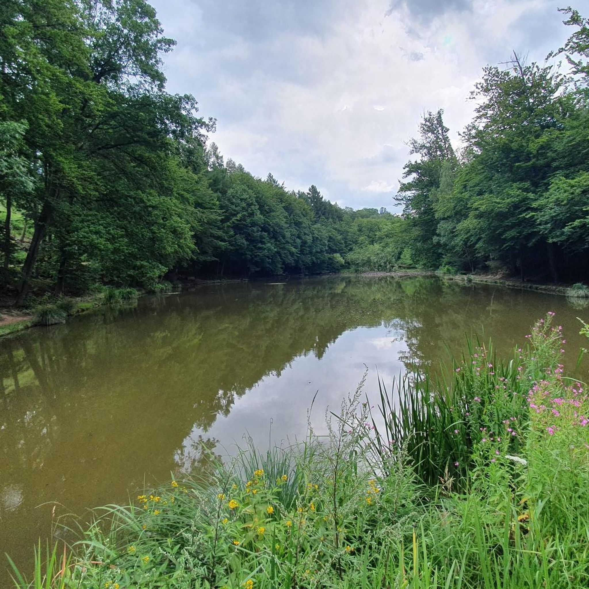
Yes, there are several lakes and natural water features in the vicinity of Radbourne CP. You could explore Bishops Bowl Lakes or Long Itchington Pond, which are popular spots for enjoying the natural environment.
Are there any longer, more challenging hikes in the area?
For those looking for longer and more challenging routes, Radbourne CP has several options. The Napton Bottom Lock – Marston Doles Canal Wharf loop is a moderate trail spanning over 12 kilometers, offering a substantial hike through the varied landscape.
Most popular attractions around Radbourne CP

Get inspired with the komoot mobile app


Explore more
Browse the best Hikes in other regions.
