The best mountain hikes around Breitenau am Hochlantsch
4.7
(22)
517
hikers
28
hikes
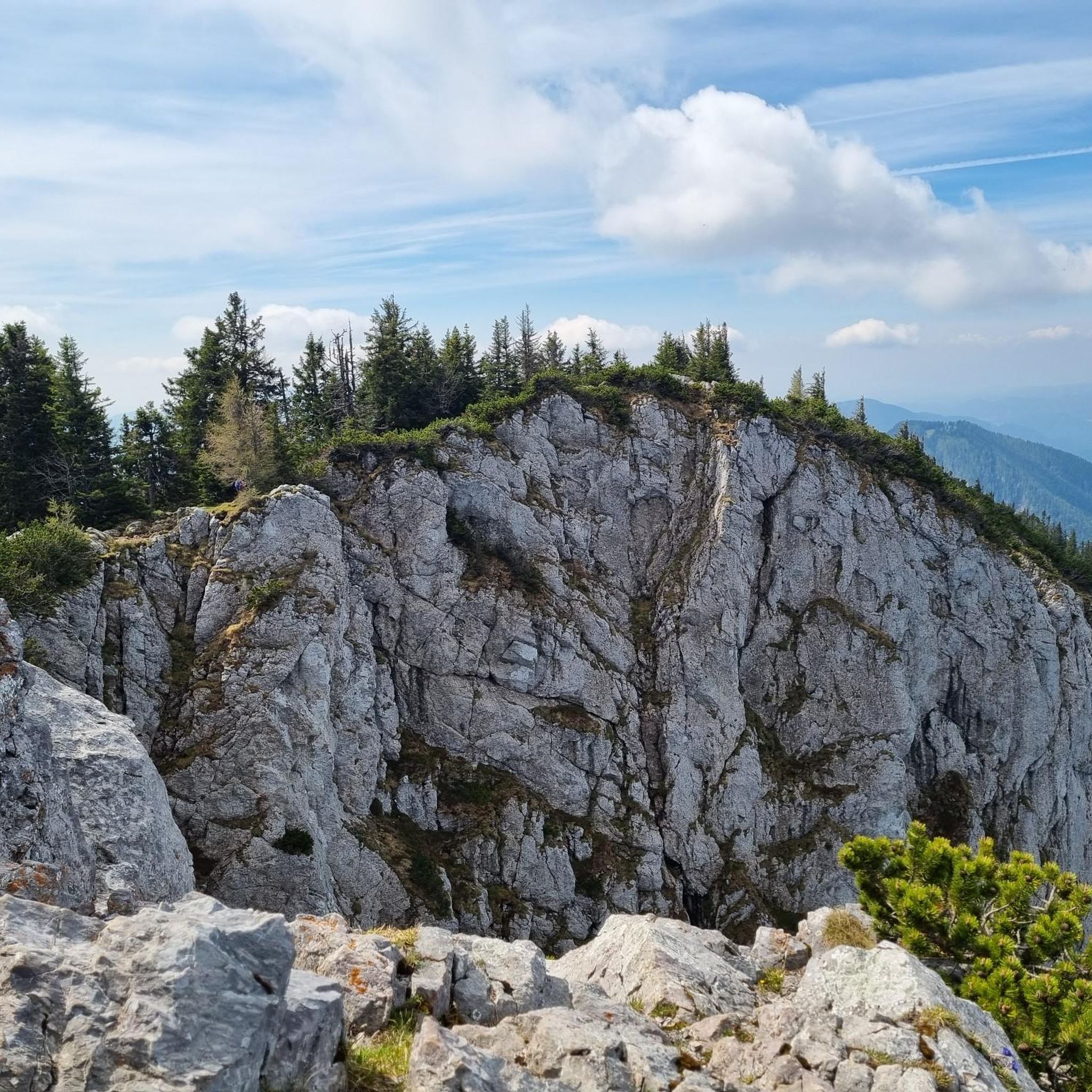
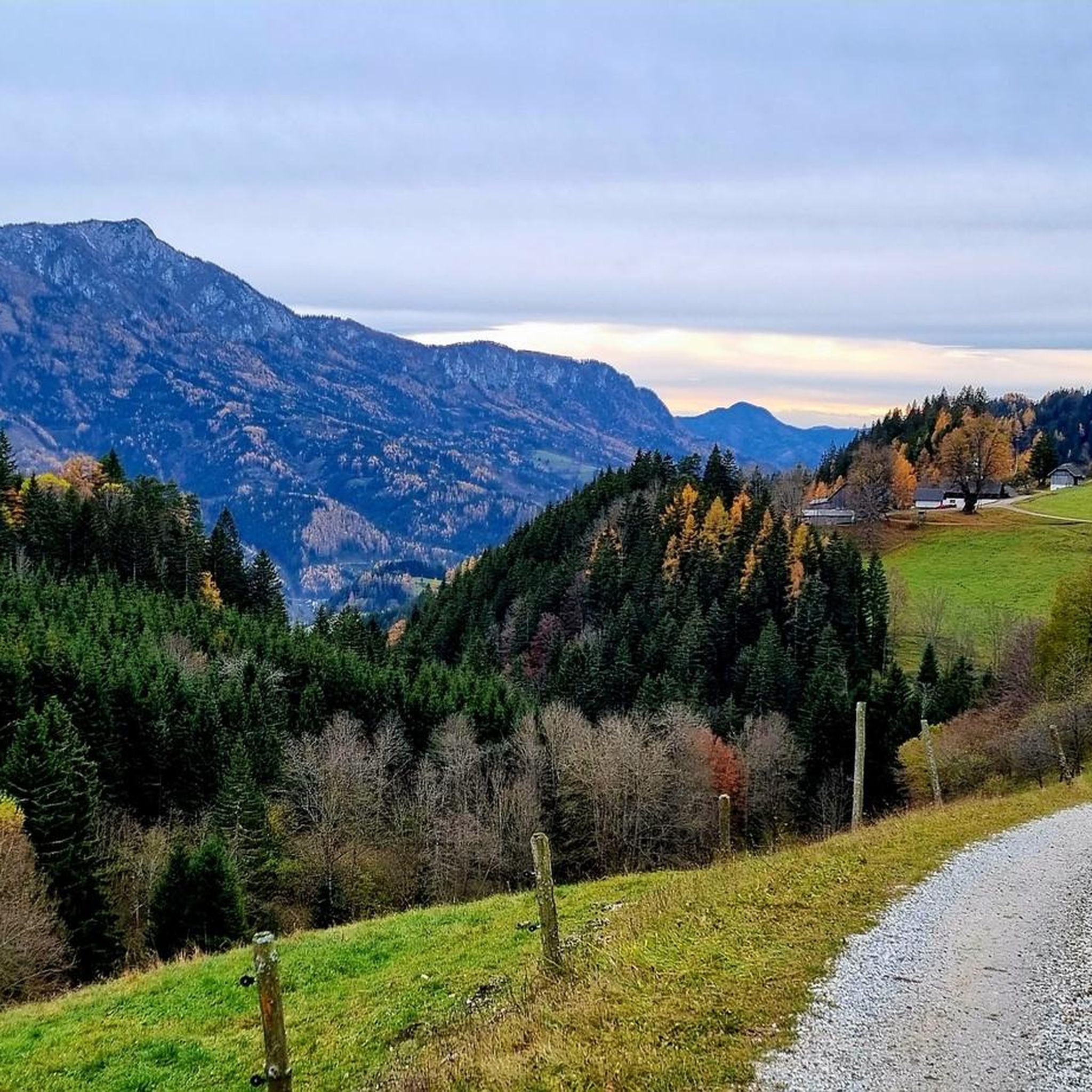
Mountaineering around Breitenau am Hochlantsch is characterized by the majestic Hochlantsch Massif, the highest peak in the Graz mountain range at 1,722 meters. The region is part of the Almenland Nature Park, featuring extensive alpine pastures like Teichalm and Sommeralm, dense forests, and clear streams. Notable natural features include the Bärenschützklamm Gorge, which offers a unique ascent experience. The varied terrain provides diverse opportunities for mountaineers.
Best mountaineering routes around Breitenau am Hochlantsch
- The most popular mountaineering route is Hochlantsch…
Last updated: July 23, 2026
5.0
(4)
53
hikers
10.7km
04:12
590m
590m
Moderate mountaineering route. Good fitness required. Mostly accessible paths. Sure-footedness required.
5.0
(1)
35
hikers
5.50km
02:13
330m
330m
Hard mountaineering route. Good fitness required. Sure-footedness, sturdy shoes and alpine experience required.

Sign up for free
31
hikers
Moderate mountaineering route. Good fitness required. Mostly accessible paths. Sure-footedness required.
5.0
(1)
24
hikers
14.1km
04:28
410m
410m
Moderate mountaineering route. Good fitness required. Mostly accessible paths. Sure-footedness required.
5.0
(2)
23
hikers
8.60km
03:44
610m
610m
Hard mountaineering route. Good fitness required. Sure-footedness, sturdy shoes and alpine experience required.
Get access to more routes and recommendations from other explorers.
Sign up for free
Already have an account?
Our route recommendations are based on thousands of hikes, rides, and runs completed by other people on komoot.
Start today with a free account
Your next adventure awaits.
Login or Signup
Popular around Breitenau am Hochlantsch

Central Alps Trail Eastern Section – Discover Austria
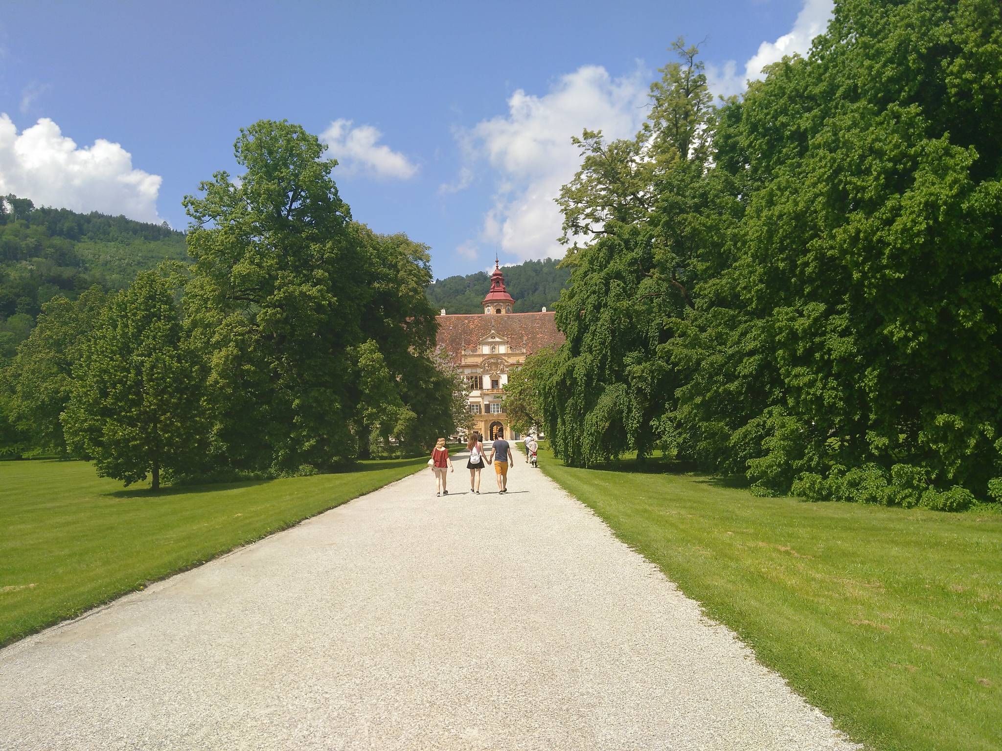
The Styrian Mariazell Way – a pilgrim's hike through southeastern Austria

Discover Styria in Austria on foot – ‘From Glacier to Wine’ North Route
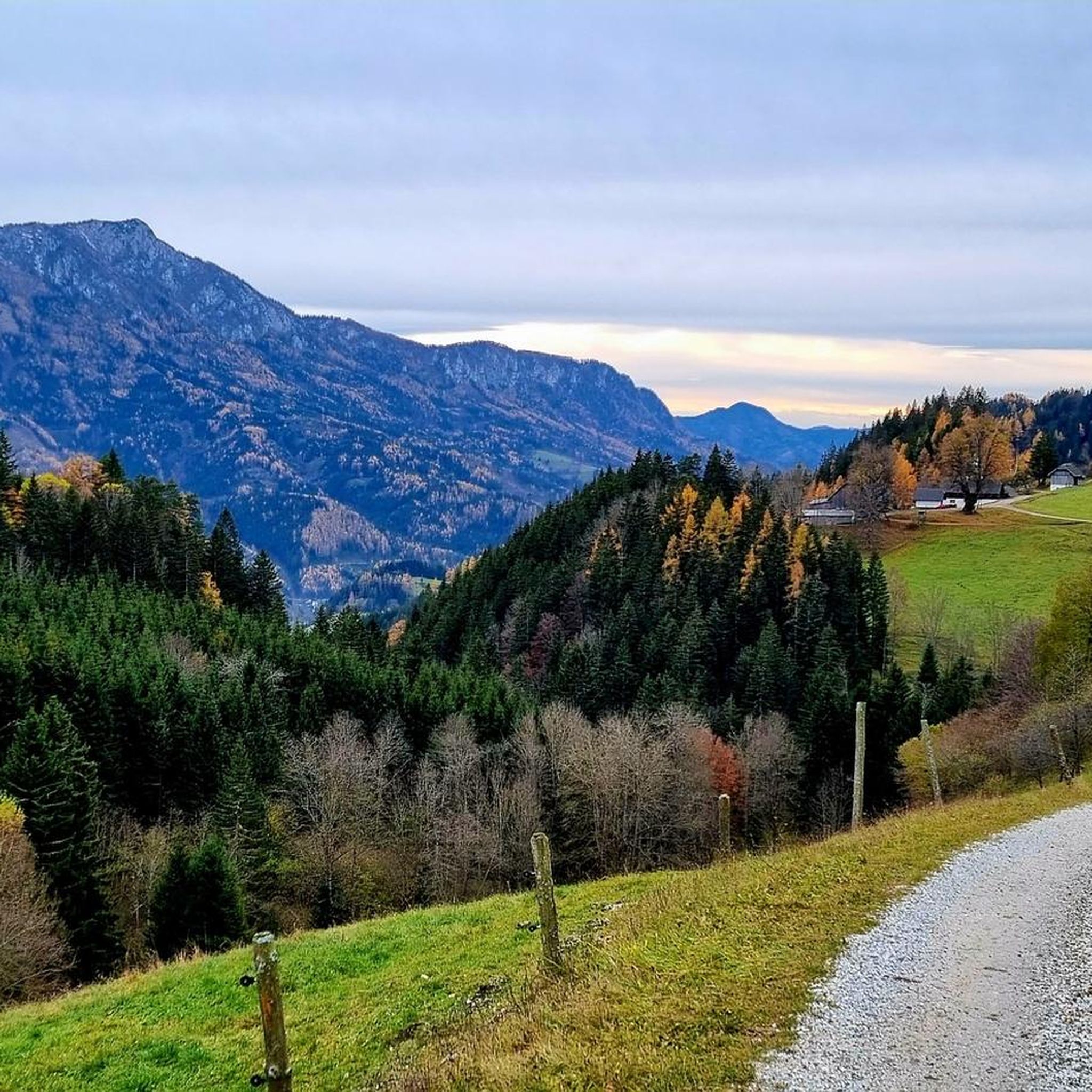
MTB Trails around Breitenau am Hochlantsch
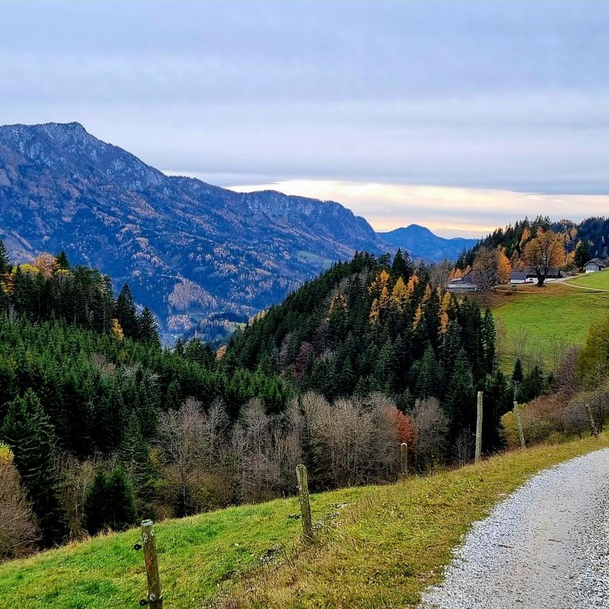
Hiking around Breitenau am Hochlantsch
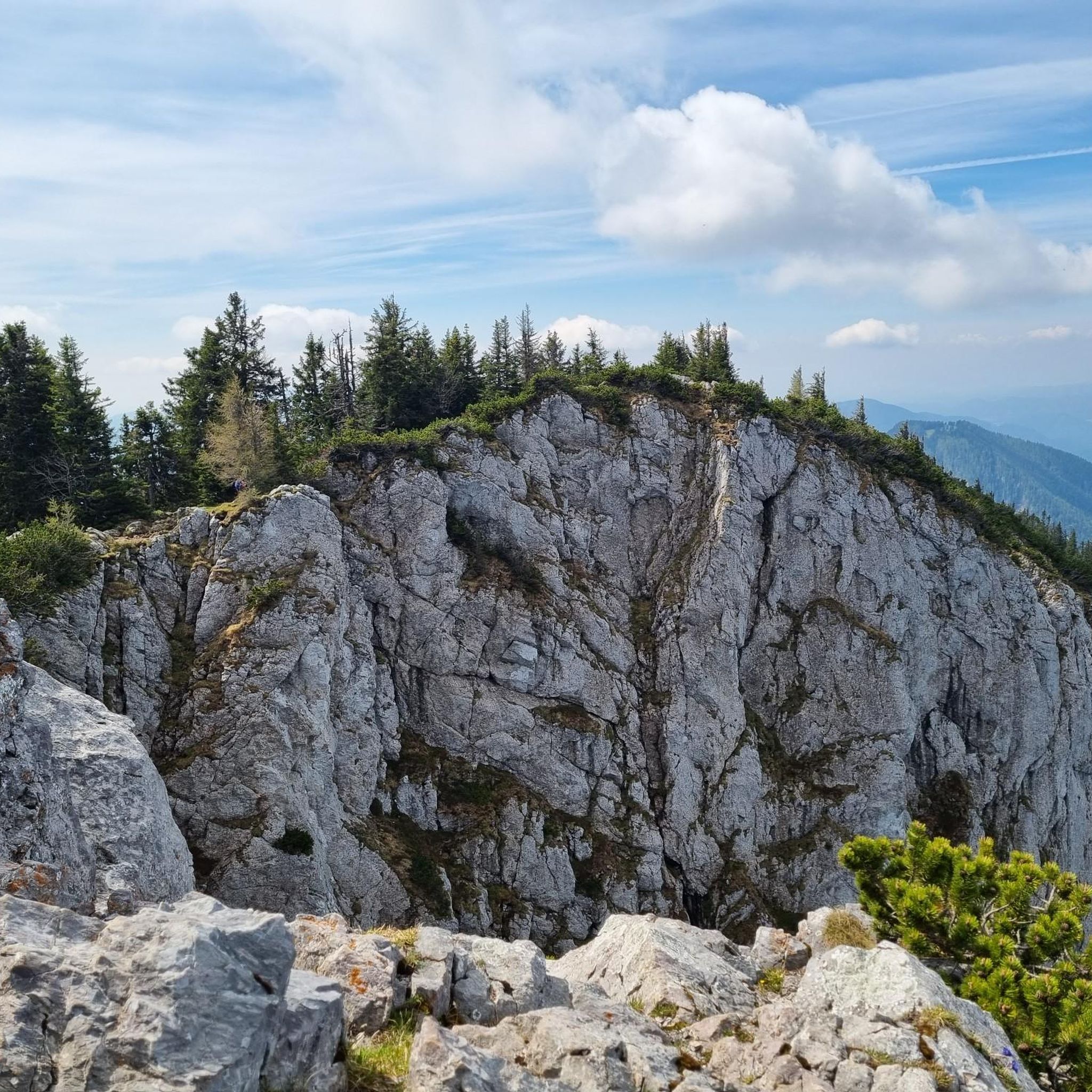
Cycling around Breitenau am Hochlantsch
Running Trails around Breitenau am Hochlantsch
Road Cycling Routes around Breitenau am Hochlantsch

Gravel biking around Breitenau am Hochlantsch
Other adventures around Breitenau am Hochlantsch


Tips from the Community

Beautiful mountain lake here on the Teichalm. Both a leisurely circuit and the many other hiking opportunities all around make this area a real "hiking hit".
0
0

A beautiful cross, definitely worth a visit, dedicated to the victims of both world wars
3
0
Fraunberg can be reached in a variety of ways
3
0

from the train station directly into the trail
1
0


There is also a SAM stop (East Styria shared taxi) near the car park, so you can also get here by public transport from Frohnleiten train station, for example.
0
0

Beautiful little place! Starting point for hikes to the Rennfeld or to the Jagaalm (if you want to take it easy).
1
0
Frequently Asked Questions
What kind of mountaineering routes can I expect around Breitenau am Hochlantsch?
Breitenau am Hochlantsch offers a diverse range of mountaineering routes, from moderate ascents to challenging summit routes. The area features 32 distinct tours, including 10 moderate and 20 difficult options, catering to various fitness levels and alpine experience. You'll find varied terrain encompassing dense forests, clear streams, and the majestic Hochlantsch Massif.
Are there any family-friendly mountaineering options in the Breitenau am Hochlantsch area?
While many routes are geared towards experienced mountaineers, there are some easier options suitable for families or those new to mountaineering. The Almenland Nature Park, where Breitenau am Hochlantsch is located, offers a wide array of trails. For specific family-friendly recommendations, it's best to check individual tour descriptions on komoot for difficulty ratings and suitability.
Can I bring my dog on the mountaineering trails around Breitenau am Hochlantsch?
Many trails in the Almenland Nature Park are dog-friendly, but it's always recommended to check specific route details before heading out. Be mindful of local regulations, especially in nature protection areas, and ensure your dog is well-behaved and kept on a leash where required. Remember to carry enough water for both yourself and your pet.
Are there any circular mountaineering routes available?
Yes, Breitenau am Hochlantsch offers several circular routes. A popular moderate option is the Wild Alpine Ibex – Summit Cross Rote Wand loop from Rote Wand, which is 6.5 miles (10.5 km) long and traverses varied terrain. Another moderate, scenic round trip is the Teichalm-Hochlantsch-Schüsserlbrunn Round, which passes by the well-known pilgrimage church.
What are the notable natural features or landmarks I might encounter on these routes?
The region is rich in natural beauty and cultural landmarks. You can explore the dramatic Bärenschützklamm Gorge, often called the 'most wonderful gorge in Austria,' which can be combined with an ascent to the Hochlantsch. The Schüsserlbrunn pilgrimage chapel, nestled beneath the steep walls of the Hochlantsch, is another cultural highlight. You might also spot wild alpine ibex on routes like the Wild Alpine Ibex – Summit Cross Rote Wand loop.
What is the best time of year for mountaineering in Breitenau am Hochlantsch?
Breitenau am Hochlantsch is a year-round outdoor destination. However, for mountaineering, the warmer months from late spring to early autumn generally offer the most favorable conditions. During winter, the area transforms into a destination for skiing, cross-country skiing, and snowshoeing, requiring different equipment and expertise for alpine activities. Always check local weather conditions before heading out.
Are there any huts or places to eat along the mountaineering trails?
Yes, there are several huts and mountain inns in the vicinity where you can rest and refuel. Notable options include the Ottokar-Kernstock House, which is part of a popular loop trail, and the Steirischer Jockl Mountain Inn. The Almgasthaus Stroßeggwirt is also a great spot to visit. These provide opportunities for refreshments and sometimes overnight stays.
How accessible are the mountaineering routes by public transport?
While Breitenau am Hochlantsch is nestled in the mountains, public transport options to the general region exist. However, direct access to specific trailheads might be limited. It's advisable to research local bus schedules or consider a combination of public transport and a short taxi ride to reach more remote starting points. Many visitors opt for personal vehicles for greater flexibility.
Where can I find parking for the mountaineering trails?
Parking is generally available at common trailheads and popular starting points for mountaineering routes. For example, routes like the Buchebenalm – Rote Wand Parking Area loop indicate parking availability. It's recommended to check the specific tour description on komoot for details on parking facilities near your chosen route's starting point.
What do other mountaineers enjoy the most about Breitenau am Hochlantsch?
The mountaineering routes around Breitenau am Hochlantsch are highly rated by the komoot community, with an average score of 4.7 stars from 26 reviews. Mountaineers often praise the breathtaking panoramic views from peaks like Hochlantsch, the unique experience of traversing the Bärenschützklamm Gorge, and the chance to spot wildlife like alpine ibex. The varied terrain and well-maintained trails also receive positive feedback.
Are there any easy mountaineering routes for beginners?
While the region is known for its challenging terrain, there are a few easier mountaineering routes suitable for beginners or those looking for a less strenuous experience. These routes typically involve less elevation gain and shorter distances. It's always best to consult the difficulty ratings on komoot for each tour to find one that matches your experience level.
What is the highest point I can reach on a mountaineering route here?
The highest point you can reach on a mountaineering route in this area is the summit of Hochlantsch, which stands at 1,722 meters. The Hochlantsch Summit (1,720 m) – Mountain Church loop from Latschen-Hochmoor is a challenging route that leads directly to this majestic peak, offering extensive panoramic views of the surrounding Alpine landscape.
Most popular routes around Breitenau am Hochlantsch
Most popular attractions around Breitenau am Hochlantsch

Get inspired with the komoot mobile app


Explore more
Browse the best Mountain Hikes & Routes in other regions.
