The best mountain hikes around Sankt Veit im Pongau
4.8
(99)
1,223
hikers
67
hikes
Mountaineering around Sankt Veit im Pongau offers diverse landscapes within the Salzburg Alps, characterized by majestic mountains and picturesque valleys. The region features varied terrain, from accessible paths to challenging ridge hikes with significant elevation gains. Notable peaks like Gernkogel Mountain, Hochglocker Summit, Schuhflicker, and Höllwand provide extensive views of the surrounding Alpine environment. Situated in the Salzach Valley, the area benefits from the climate-tempering influence of the Hochkönig massif.
Best mountaineering routes around Sankt Veit im Pongau
- The most…
Last updated: May 12, 2026
4.8
(4)
46
hikers
5.30km
02:37
440m
440m
Moderate mountaineering route. Good fitness required. Mostly accessible paths. Sure-footedness required.
5.0
(2)
18
hikers
Hard mountaineering route. Very good fitness required. Sure-footedness, sturdy shoes and alpine experience required.

Sign up for free
5.0
(1)
19
hikers
13.2km
06:51
1,130m
1,130m
Hard mountaineering route. Very good fitness required. Sure-footedness, sturdy shoes and alpine experience required.
4.0
(1)
15
hikers
12.5km
04:33
760m
760m
Moderate mountaineering route. Good fitness required. Mostly accessible paths. Sure-footedness required.
4.7
(3)
13
hikers
6.20km
02:09
310m
310m
Moderate mountaineering route. Good fitness required. Mostly accessible paths. Sure-footedness required.
Get access to more routes and recommendations from other explorers.
Sign up for free
Already have an account?
Our route recommendations are based on thousands of hikes, rides, and runs completed by other people on komoot.
Start today with a free account
Your next adventure awaits.
Login or Signup
Popular around Sankt Veit im Pongau
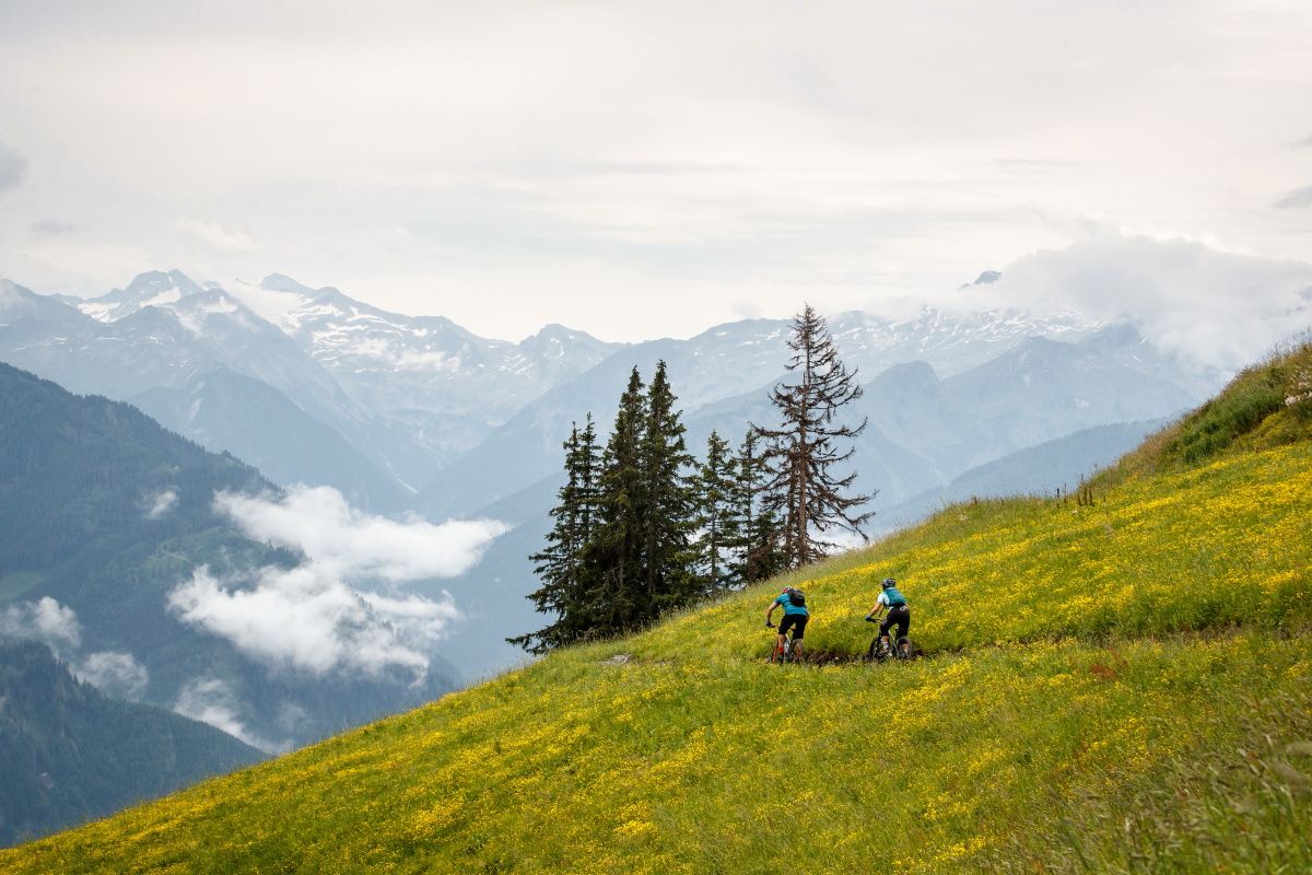
Seven unforgettable MTB and hiking Tours in Großarltal
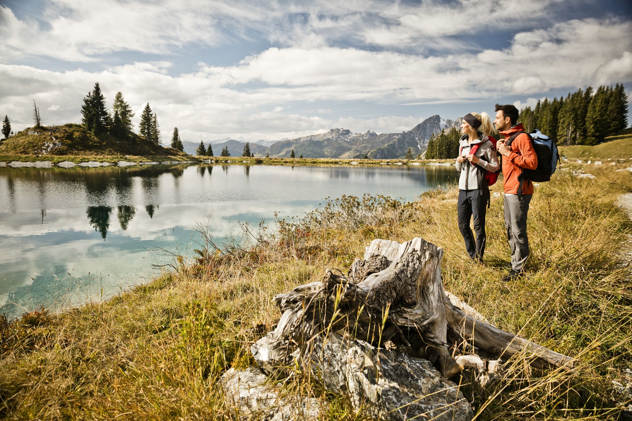
11 beautiful walks around St. Johann in Salzburg in Austria
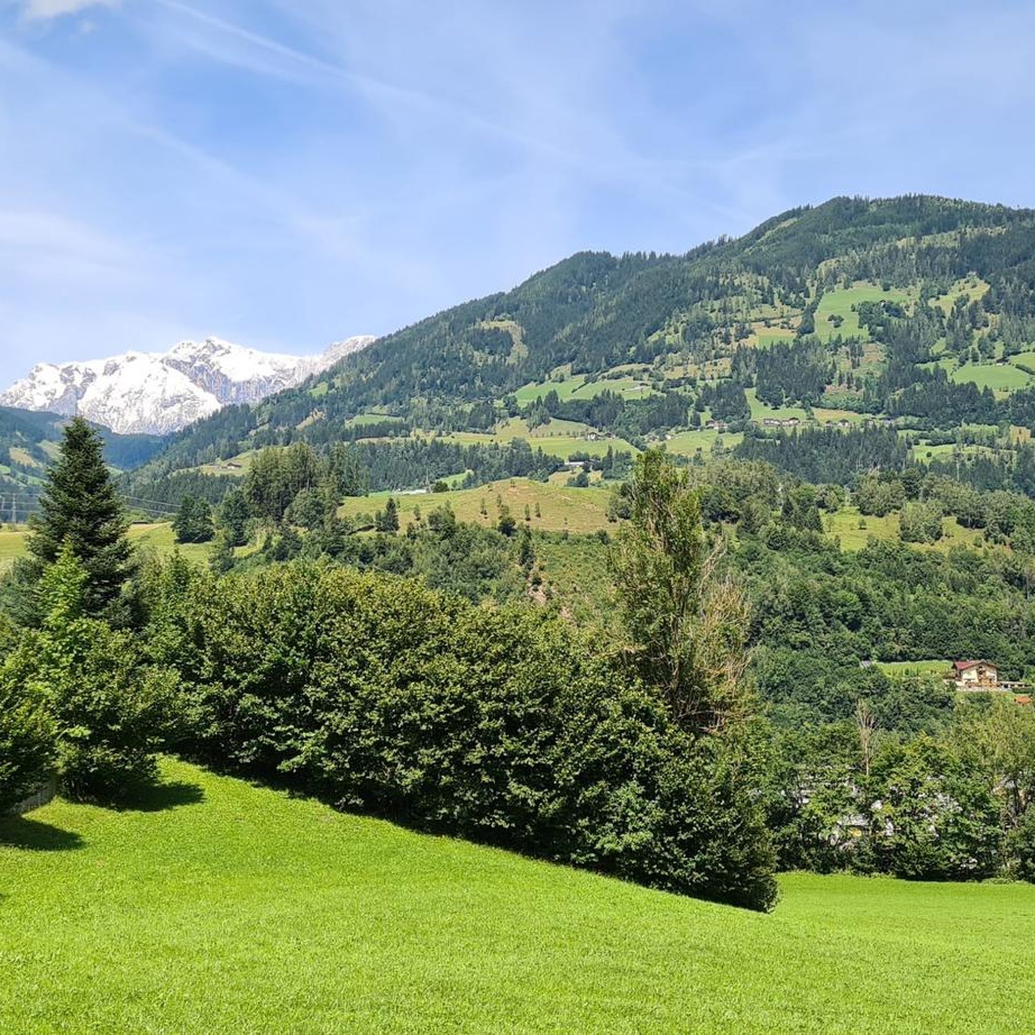
Cycling around Sankt Veit im Pongau
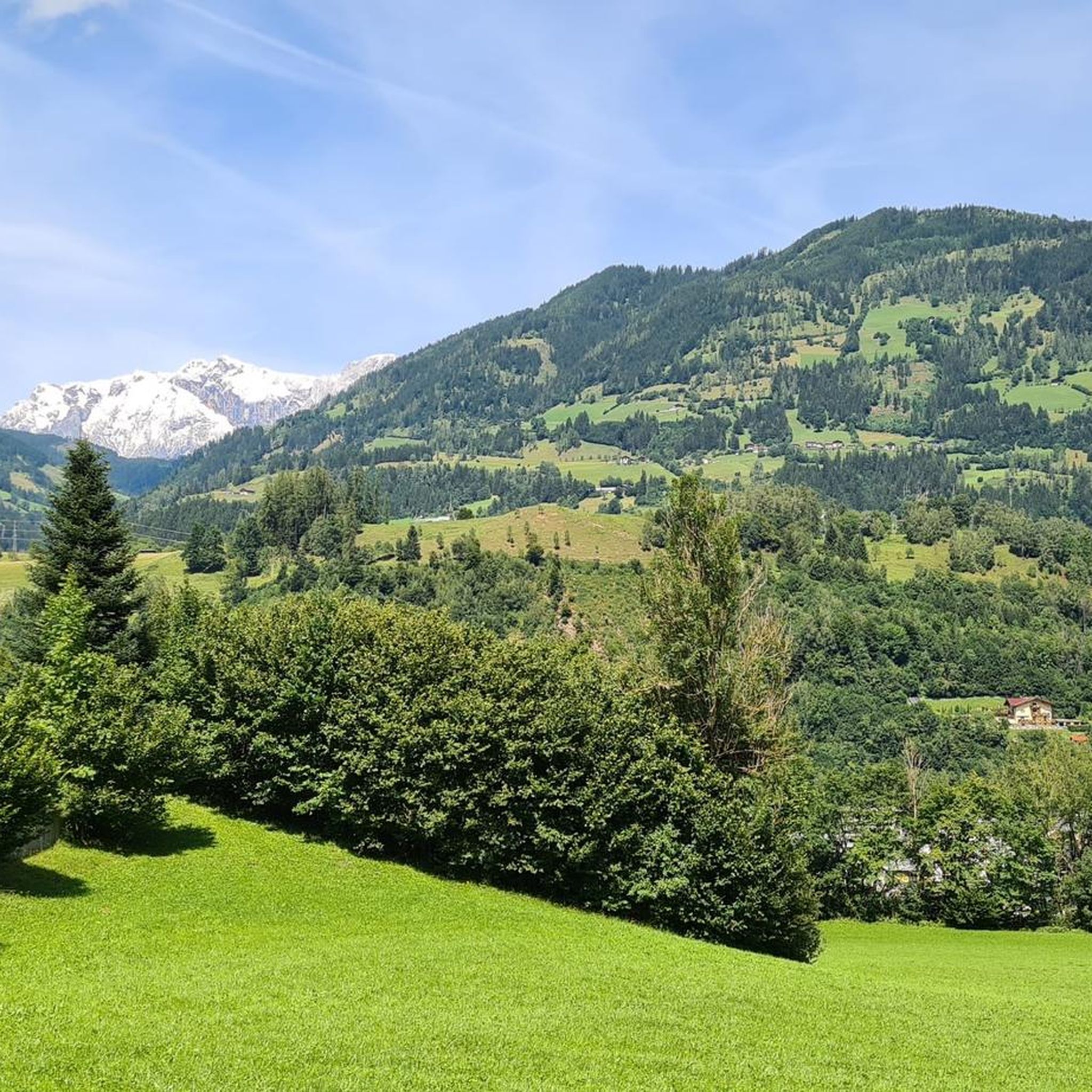
Hiking around Sankt Veit im Pongau
Road Cycling Routes around Sankt Veit im Pongau
MTB Trails around Sankt Veit im Pongau
Running Trails around Sankt Veit im Pongau
Gravel biking around Sankt Veit im Pongau


Tips from the Community

Located west of Mülheim, at an altitude of 930 meters. A cable car provides access to the Hochkönig ski area with 120 km of slopes.
2
0

Ideally located next to the King's Cab and Schneeberg cable cars, perfect for a break and après-ski. Extensive menu and plenty of space. Daily 9:00 AM – 6:00 PM Wednesday 9:00 AM – 9:30 PM +43 664 / 210 10 61 https://www.zapferlalm.at/
0
0

The Liechtensteinkopf is a promontory of the Schuhflicker massif and, at 1,910 meters, towers over the Großarltal valley. It can be reached quite quickly on foot from the Aualm and offers a wide panoramic view, which you can enjoy from the cross with the bench.
0
0


Small peak on the way to the shoe repairer
0
0

Surefootedness and a head for heights are required.
1
0
Frequently Asked Questions
How challenging are the mountaineering routes around Sankt Veit im Pongau?
Sankt Veit im Pongau offers a wide range of mountaineering routes catering to various skill levels. Out of 75 routes, you'll find 1 easy, 36 moderate, and 38 difficult trails. This means there are plenty of options whether you're looking for a strenuous ascent or a more relaxed mountain experience.
Are there any easier mountaineering routes suitable for beginners?
While many routes are moderate to difficult, there is at least one easy mountaineering route available. For those new to mountaineering, it's advisable to start with trails marked as 'moderate' and ensure you have appropriate gear and experience for the Alpine environment. The region's diverse terrain means you can gradually increase your challenge level.
What is the typical duration of mountaineering routes in the area?
The duration of mountaineering routes varies significantly. For example, the Schuhflicker Peak – Aukopf Summit loop from Austuhl is a difficult route that typically takes around 3 hours. Longer, more challenging routes like the Aukopf Summit – Schuhflicker Peak loop from Dorfgastein can take about 7 hours 30 minutes to complete. Always check the estimated duration for your chosen route.
What kind of views can I expect on the mountaineering routes?
Mountaineering in Sankt Veit im Pongau promises breathtaking panoramic views. Peaks like Gernkogel Mountain, Hochglocker Summit, Schuhflicker, and Höllwand offer expansive vistas of the surrounding Salzburg Alps. Many routes lead to scenic summits with distinctive features, such as the wooden heart near the Hochglocker peak, making for memorable experiences.
Are there any circular mountaineering routes available?
Yes, many of the mountaineering routes in Sankt Veit im Pongau are circular, allowing you to start and end at the same point. Examples include the Heukareck Summit – Tennköpfl Summit Cross loop from Parkplatz Himmelsknoten and the Steiner Hochalm – Kleiner Paarsee loop from Dorfgastein, which offer varied Alpine terrain and stunning scenery.
What can I see along the mountaineering routes besides mountain views?
Beyond the majestic mountain views, the region offers several natural attractions. You might encounter serene spots like the Böndlsee Lake or the Seelackn Ponds. For a unique experience, consider visiting the Liechtensteinklamm Gorge, one of the longest and deepest gorges in the Alps, with impressive waterfalls and rock formations. The Kitzlochklamm Gorge is another stunning natural wonder nearby.
When is the best time of year for mountaineering in Sankt Veit im Pongau?
The best time for mountaineering in Sankt Veit im Pongau is typically from late spring through early autumn (May to October), when the trails are clear of snow and the weather is most stable. The region, known as the 'Salzburg Sun Terrace,' often enjoys favorable conditions. Always check local weather forecasts and trail conditions before heading out, especially for higher elevations.
Are there any huts or places to rest along the trails?
Yes, the region around Sankt Veit im Pongau features several mountain huts that offer opportunities for rest, refreshments, and sometimes overnight stays. Notable huts include the Erichhütte, Bürglalm, and Ellmau Alm. These huts are often strategically located along popular routes, providing a welcome break during longer tours.
How can I get to the trailheads for mountaineering routes?
Sankt Veit im Pongau is accessible by car, and many trailheads have designated parking areas. For those using public transport, the region is situated in the Salzach Valley, and the Tauern cycle path passes through Sankt Veit, indicating good connectivity. Specific public transport options to individual trailheads may vary, so it's best to check local schedules.
What do other mountaineers enjoy most about the routes in Sankt Veit im Pongau?
The mountaineering routes in Sankt Veit im Pongau are highly rated by the komoot community, with an average score of 4.7 stars from over 100 reviews. Mountaineers often praise the diverse landscapes, the challenging ridge hikes, and the expansive views from the summits. The varied terrain, from accessible paths to difficult ascents, is also a frequently highlighted aspect.
Are there any family-friendly mountaineering options?
While many mountaineering routes are challenging, the broader Sankt Veit im Pongau region offers diverse outdoor activities. For families, consider exploring areas with more accessible paths or attractions like the 'barefoot path' on Hochglocker summit for a unique sensory experience. Always check the difficulty rating and elevation gain to ensure a route is suitable for all family members.
Do I need any special permits for mountaineering in Sankt Veit im Pongau?
Generally, no special permits are required for mountaineering on the established trails in Sankt Veit im Pongau. However, it's always good practice to respect local regulations, stay on marked paths, and be aware of any specific rules for protected areas. If you plan to engage in climbing, specific regulations or access points might apply to certain rock formations.
Most popular routes around Sankt Veit im Pongau
Most popular attractions around Sankt Veit im Pongau

Get inspired with the komoot mobile app


Explore more
Browse the best Mountain Hikes & Routes in other regions.
