The best mountain hikes around Krispl
4.8
(21)
213
hikers
12
hikes
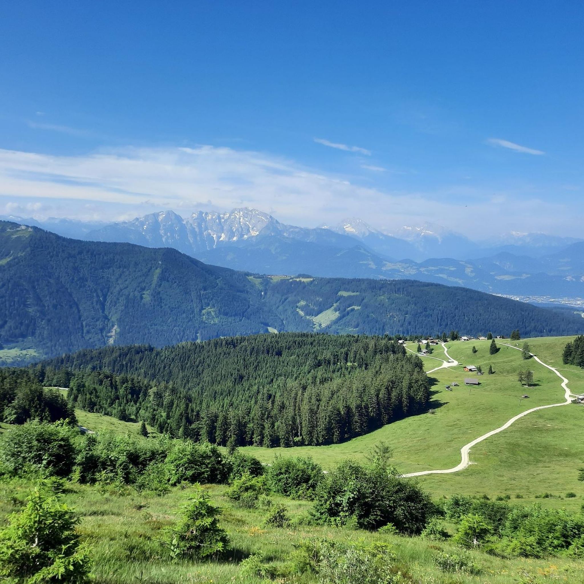
Mountaineering routes around Krispl are situated within the Osterhorngruppe mountain range in Salzburg, Austria. The region features a diverse landscape of forests, expansive alpine meadows, and prominent peaks such as Wieserhörndl, Eibleck, Schlenken, and Schmittenstein. This area provides varied terrain for mountaineering, ranging from rolling hills to more challenging ascents. The natural environment is characterized by majestic mountain scenery and lush woodlands.
Best mountaineering routes around Krispl
- The most popular mountaineering route is Wieserhörndl Summit (1,567 m) – Wieserhörndl Summit…
Last updated: October 5, 2026
5.0
(2)
17
hikers
8.06km
03:19
560m
560m
Moderate mountaineering route. Good fitness required. Mostly accessible paths. Sure-footedness required.
5.0
(7)
37
hikers
7.27km
02:44
500m
500m
Moderate mountaineering route. Good fitness required. Easily-accessible paths. Suitable for all skill levels.

33
hikers
14.3km
05:04
850m
850m
Hard mountaineering route. Very good fitness required. Easily-accessible paths. Suitable for all skill levels.
4.0
(1)
32
hikers
12.2km
04:50
760m
760m
Hard mountaineering route. Good fitness required. Sure-footedness, sturdy shoes and alpine experience required.
5.0
(1)
11
hikers
5.05km
01:48
290m
290m
Easy mountaineering route. Great for any fitness level. Easily-accessible paths. Suitable for all skill levels.
Get access to more routes and recommendations from other explorers.
Already have an account?
Our route recommendations are based on thousands of hikes, rides, and runs completed by other people on komoot.
Start today with a free account
Your next adventure awaits.

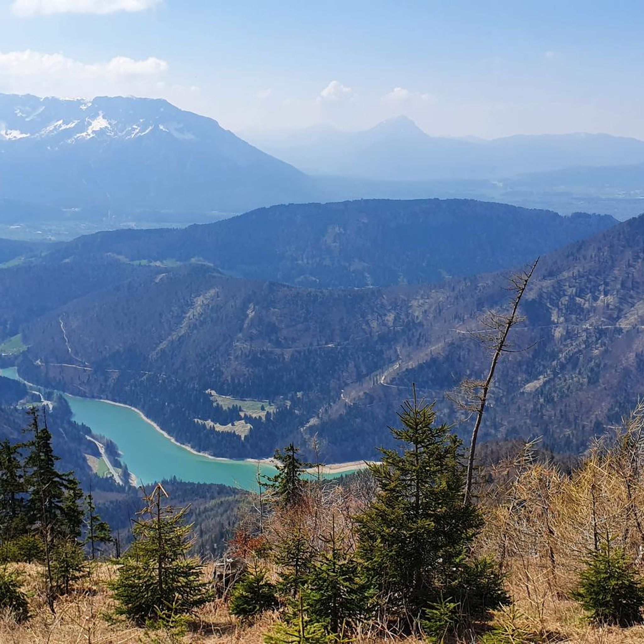
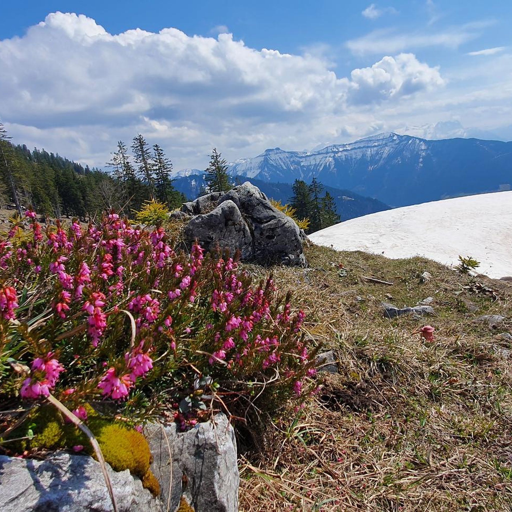
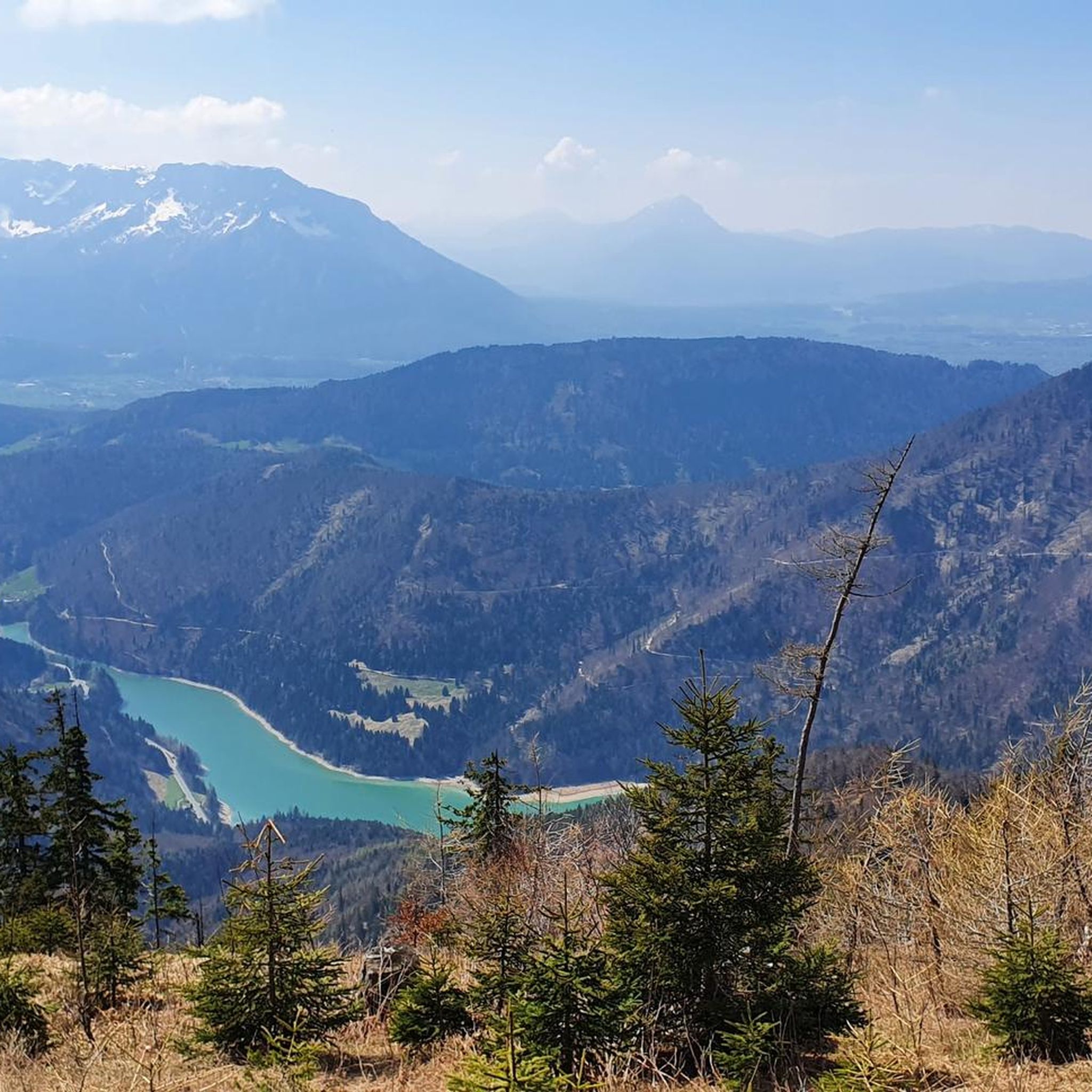
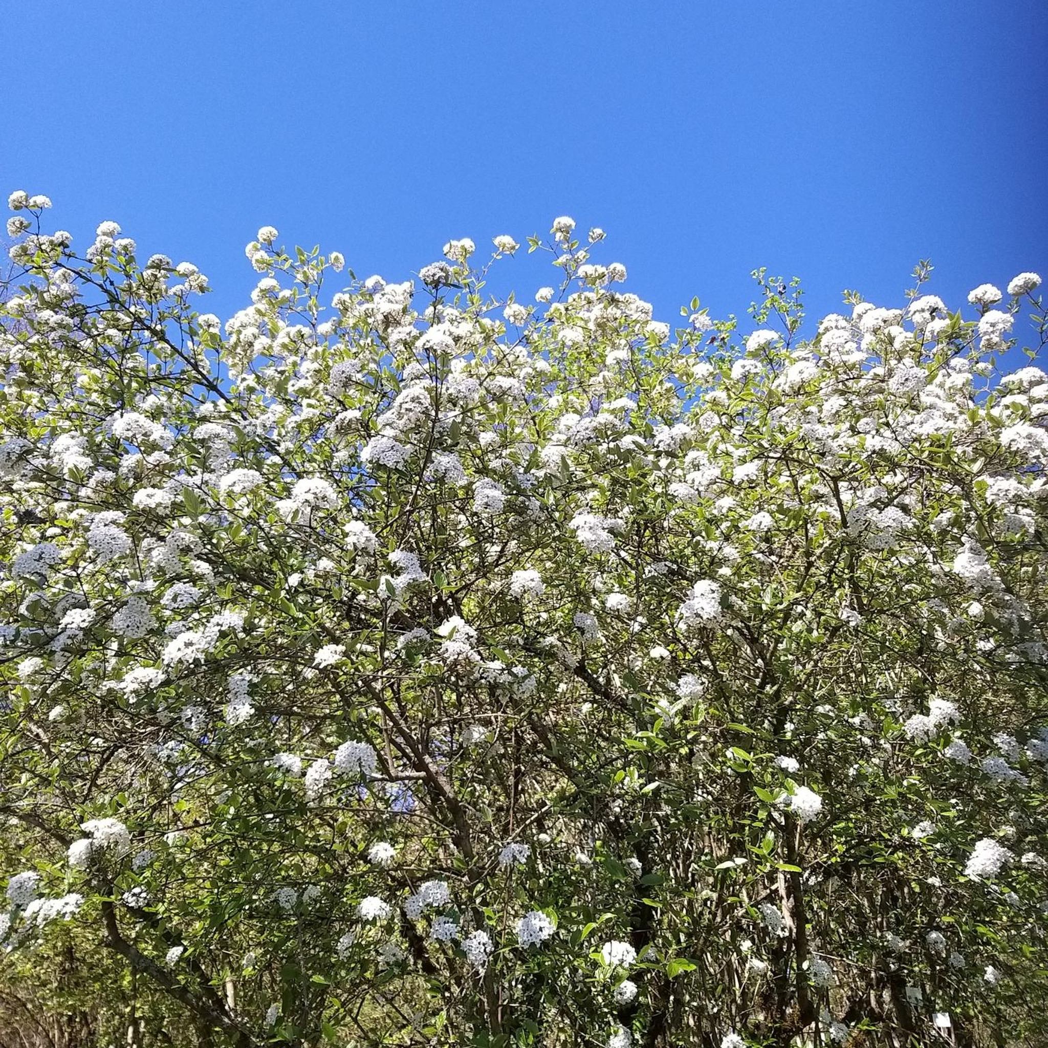
Other adventures around Krispl

Tips from the Community

Located in the former ski area of Gaißau/Hintersee below the Wieserhörndl between Spielbergalm & Anzenberg. Very good menu with many local specialties. Grandiose view of the Schmitten and the Berchtesgaden Alps. Here you can excellently review the Alm round (Almenrunde). Also open in winter!
0
0

A beautiful driveway and sensational panoramic view from slightly above.
0
0


Cheese spaetzle on the Latschenalm
0
0

Frequently Asked Questions
What kind of terrain can I expect on mountaineering routes around Krispl?
Mountaineering routes in Krispl, nestled within the Osterhorngruppe mountain range, feature a diverse landscape. You'll encounter lush forests, expansive alpine meadows, and a mix of rolling hills and majestic peaks like Wieserhörndl, Eibleck, Schlenken, and Schmittenstein. The terrain varies from moderate paths to more challenging ascents, offering a rich experience for different skill levels.
Are there any circular mountaineering routes in Krispl?
Yes, Krispl offers several rewarding circular mountaineering routes. For instance, the Ochsenberg Summit – View of the Dachstein loop from Obergrünweg is a moderate 7.6 km path providing stunning panoramic views. Another option is the more challenging Spielberg Summit Cross – Wieserhörndl Summit loop from Krispl, an 18.8 km trail through impressive mountain scenery.
What is the best time of year for mountaineering in Krispl?
The region is suitable for mountaineering throughout much of the year. Day tours over Schlenken and Schmittenstein are particularly enjoyable in late spring, early summer, and late autumn due to their sun-drenched paths and availability of refreshment stops. In winter, the mountains transform, offering opportunities for ski touring and snowshoeing, especially in areas like Gaißau-Hintersee.
What are some notable peaks or viewpoints I can reach on a mountaineering tour?
Krispl is surrounded by prominent peaks offering fantastic views. You can aim for summits like Wieserhörndl (1,535m) and Eibleck (1,518m), or explore the distinctive Schlenken and Schmittenstein. The Schlenken Summit and Wieserhörndl Summit Cross are popular highlights, providing expansive vistas of the surrounding Osterhorngruppe mountains.
Are there any family-friendly mountaineering options or activities near Krispl?
While many mountaineering routes are more challenging, Krispl does offer options for families. The Krispler Alpine path is an ideal hiking path with sunny trails and wide alpine pastures, featuring benches for resting. Additionally, the nearby Forest Adventure Trail (Walderlebnisweg) is a 2.5 km circular path with interactive puzzle stations and play areas, perfect for families and nature enthusiasts.
How many mountaineering routes are available around Krispl?
There are 12 mountaineering routes available around Krispl, catering to various skill levels. This includes 1 easy route, 5 moderate routes, and 6 difficult routes, ensuring there's something for everyone from beginners to experienced mountaineers.
What do other mountaineers say about the routes in Krispl?
The mountaineering routes in Krispl are highly regarded by the komoot community, with an impressive average score of 4.8 stars from over 20 reviews. More than 240 mountaineers have already explored Krispl's varied terrain using komoot, often praising the majestic mountain scenery, lush forests, and diverse paths.
Are there any less-frequented or adventurous routes for experienced mountaineers?
For those seeking a more adventurous experience, the region offers routes that are less defined. One such option is the pathless route over Grobriedel and to Anzenberg, which provides a more rugged and solitary mountaineering challenge. Additionally, circular routes via Ochsenberg, Eibleck, and Spielberg are known to be quieter alternatives to more popular trails.
What natural features or landmarks can I discover along the routes?
Beyond the impressive peaks, Krispl's natural environment offers several interesting features. You might encounter the small lakes formed by the regulated river near the Wiestalkraftwerk. The area is also notable for the occurrence of petrified branchiopods and other marine organisms, appealing to fossil hunters. For specific natural monuments, consider visiting the Nockstein Summit or Zwölferhorn Summit and Panoramic Views.
Are there any mountain huts or places to rest along the trails?
Yes, the Spielbergalm is a rustic mountain hut that serves as a popular starting point and destination for nature lovers and sports enthusiasts. It's accessible via a forest road and offers stunning views, making it an ideal spot for a break or refreshment during your mountaineering tour.
Can I find routes that combine multiple summits?
Absolutely. For a more extensive mountaineering experience, consider routes that allow you to conquer multiple summits. An example is the route from Hoher Steg over Kasbach and Schlenkstein to Schmittenstein and Schlenken, which offers the opportunity to traverse several peaks within the Osterhorngruppe.
What is the longest difficult mountaineering route available?
The longest difficult mountaineering route is the Spielberg Summit Cross – Wieserhörndl Summit loop from Krispl. This challenging trail spans 18.8 km and typically takes around 6 hours and 41 minutes to complete, leading you through impressive mountain scenery with significant elevation changes.
Most popular attractions around Krispl

Get inspired with the komoot mobile app


Explore more
Browse the best Mountain Hikes & Routes in other regions.
