The best walks and hikes around Ryhall
4.6
(398)
3,140
hikers
161
hikes
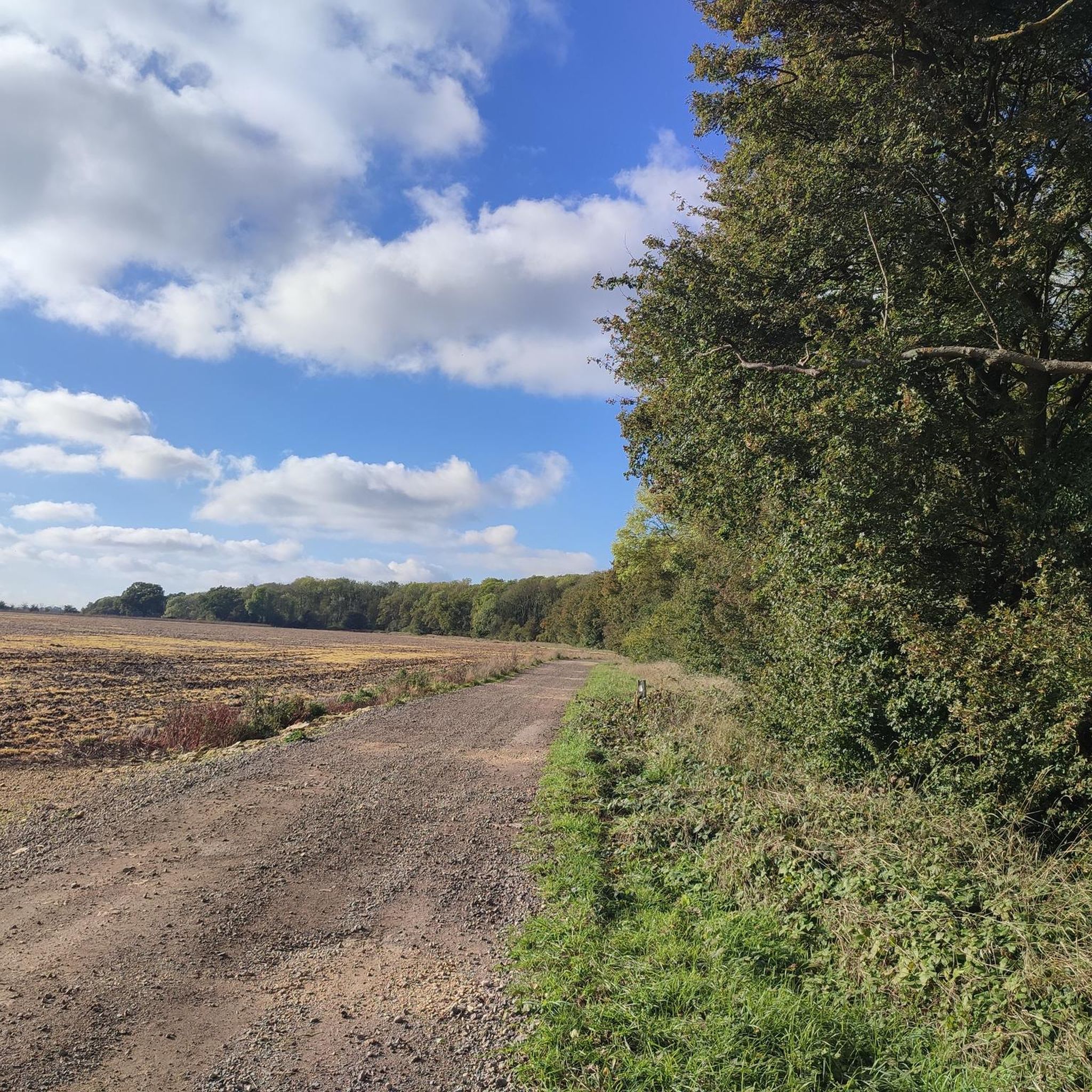
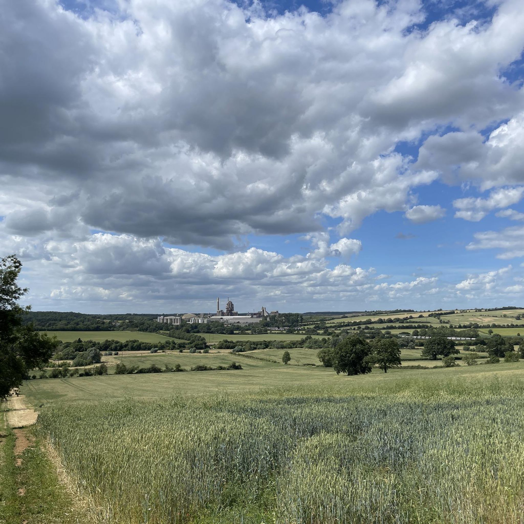
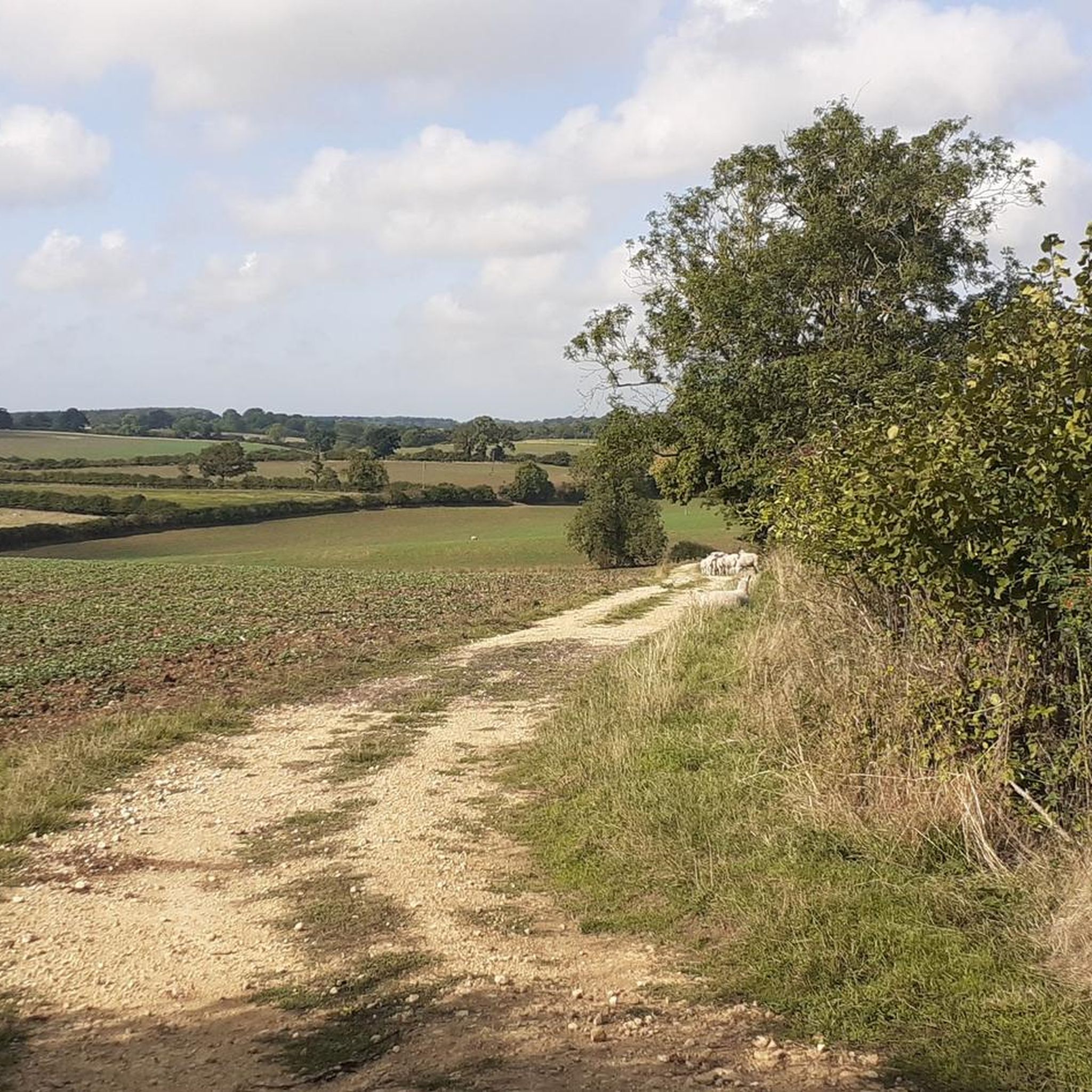
Hiking around Ryhall offers routes through a landscape characterized by the meandering River Gwash, extensive arable fields, and scattered spinneys and woodlands. The terrain generally falls from Ryhall Heath towards the river, providing some variation in elevation. This area of Rutland features a mix of open countryside and small enclosed grazing lands, with broadleaved trees like ash and oak defining the wooded sections.
Best hiking trails around Ryhall
- The most popular hiking route is Four Counties loop from Stamford,…
Last updated: September 30, 2026
4.5
(30)
111
hikers
9.80km
02:34
80m
80m
Embark on the Four Counties loop from Stamford, a moderate hike spanning 6.1 miles (9.8 km) with an elevation gain of 259 feet (79 metres), typically completed in 2 hours…
4.0
(5)
37
hikers
6.27km
01:38
40m
40m
Embark on a moderate 3.9-mile (6.3 km) hike that takes you from the historic streets of Stamford into the grand parkland surrounding Burghley House. You will experience a gentle elevation…

4.6
(20)
78
hikers
8.32km
02:12
80m
80m
Moderate hike. Good fitness required. Easily-accessible paths. Suitable for all skill levels.
4.6
(7)
37
hikers
7.92km
02:07
90m
90m
Moderate hike. Good fitness required. Easily-accessible paths. Suitable for all skill levels.
4.0
(4)
39
hikers
6.36km
01:37
10m
10m
Easy hike. Great for any fitness level. Easily-accessible paths. Suitable for all skill levels.
Get access to more routes and recommendations from other explorers.
Already have an account?
Our route recommendations are based on thousands of hikes, rides, and runs completed by other people on komoot.
Start today with a free account
Your next adventure awaits.

Tips from the Community

Burghley House is an English country house from the late 16th century in the English unitary authority City of Peterborough, near Stamford in Lincolnshire. It is considered one of the most outstanding examples of late Elizabethan architecture and has served as a family seat ever since. Burghley House was built between 1555 and 1587 by William Cecil, 1st Baron Burghley, Treasurer to Queen Elizabeth I. In honour of the Queen, the building had an E-shaped floor plan. https://de.wikipedia.org/wiki/Burghley_House
0
0

For over 500 years, the house has been continuously occupied by the Cecil family, and direct descendants still live there today.
0
0

The entire park was closed for the setting up of an event when I visited
0
0
The Bottle Lodges at Burghley House are a pair of distinctive gatehouses located at the entrance to the estate, built in 1801 to commemorate the Earl of Exeter's elevation to the marquessate.
0
0
This is a grade II listed pedestrain bridge over the River Welland, dating from 1881 and built by Stamford Town Council to replace one destroyed by flood in July 1880. It is built out of rubble stone and iron.
0
0
Burghley House is open daily except Fridays, from 10:30 am to 4:30 pm, while the Gardens and Adventure Play area are open daily from 10:00 am to 5:00 pm.
0
0

Frequently Asked Questions
How many hiking trails are available around Ryhall?
There are over 170 hiking routes available around Ryhall, offering a wide range of options for exploring the local countryside. These include routes of varying difficulty levels, from easy village walks to more moderate countryside loops.
What kind of terrain can I expect on Ryhall's hiking trails?
The hiking trails around Ryhall feature a diverse landscape. You can expect to traverse extensive arable fields, follow the meandering River Gwash, and pass through small woodlands known as spinneys. The land generally falls from Ryhall Heath towards the river, providing some gentle variations in elevation.
Are there easy hiking options suitable for beginners or families in Ryhall?
Yes, Ryhall offers plenty of easy hiking options. With 78 routes classified as easy, there are many paths suitable for beginners or families with children. These often include village walks and shorter loops that are less demanding.
Can I find circular hiking routes in the Ryhall area?
Yes, many of the routes around Ryhall are circular, allowing you to start and finish in the same location. For example, the Four Counties loop from Stamford is a popular circular trail, as is the Stamford to Burghley House loop.
What historical or natural attractions can I see while hiking near Ryhall?
While hiking near Ryhall, you can discover several interesting attractions. The village itself boasts the historic St. John the Evangelist Church and the Grade II listed Green Dragon Inn. Nearby, you might encounter landmarks like Normanton Church, or explore the charming Stamford Historic Town Centre. The routes also often feature views of the River Gwash and the surrounding arable fields.
Is Ryhall a good place for dog-friendly hikes?
Ryhall's varied countryside, with its open fields and woodland paths, generally offers a pleasant environment for dog walking. Many trails traverse public footpaths and bridleways, which are typically dog-friendly. However, always keep dogs under control, especially when passing through fields with livestock or near roads, and be mindful of local signage regarding lead requirements.
Where can I find parking for hiking trails in Ryhall?
While specific parking areas for every trailhead are not detailed, Ryhall village itself has amenities. Many established walking routes, such as Ryhall Walk Number 1 and Number 2, start from the Village Hall, suggesting parking may be available in the vicinity or within the village. It's advisable to check local parking regulations upon arrival.
Are there any pubs or cafes along the hiking routes in Ryhall?
Yes, Ryhall is home to The Green Dragon Inn, a traditional village pub housed in a Grade II listed building with a 13th-century vaulted cellar. This makes for a cozy stop for hikers. Other routes, particularly those extending towards nearby towns like Stamford, may also pass by additional pubs or cafes.
What is the best time of year to go hiking in Ryhall?
Ryhall offers enjoyable hiking experiences throughout the year. Spring brings blooming wildflowers and lush greenery, while summer provides longer daylight hours for extended walks. Autumn showcases beautiful foliage in the woodlands, and even winter can be picturesque, though paths may be muddier. The choice depends on your preference for weather and scenery.
What do other hikers say about the trails in Ryhall?
The hiking trails in Ryhall are highly rated by the komoot community, with an average score of 4.6 stars from over 350 reviews. Hikers often praise the blend of open countryside and sheltered paths, the well-defined routes, and the opportunities to explore both natural beauty and historical charm.
What kind of wildlife might I spot while hiking in Ryhall?
The diverse landscape of Ryhall, with its arable fields, woodlands, and the River Gwash, supports various wildlife. You might spot common birds, small mammals, and insects. The broader Rutland area is known for its significant woodlands, reflecting the ancient Leighfield Forest, which provides habitats for a range of species.
Are there any longer, more challenging hikes available in the Ryhall area?
While many routes are easy to moderate, Ryhall does offer options for longer hikes. For instance, the Four Counties loop from Stamford is a moderate 6.1-mile (9.8 km) trail. There are 88 moderate and 6 difficult routes in the wider area, providing more challenging options for experienced hikers looking for longer distances or more varied elevation.
Most popular attractions around Ryhall

Get inspired with the komoot mobile app


Explore more
Browse the best Hikes in other regions.
