The best mountain hikes around Rohr im Gebirge
4.7
(53)
874
hikers
42
hikes
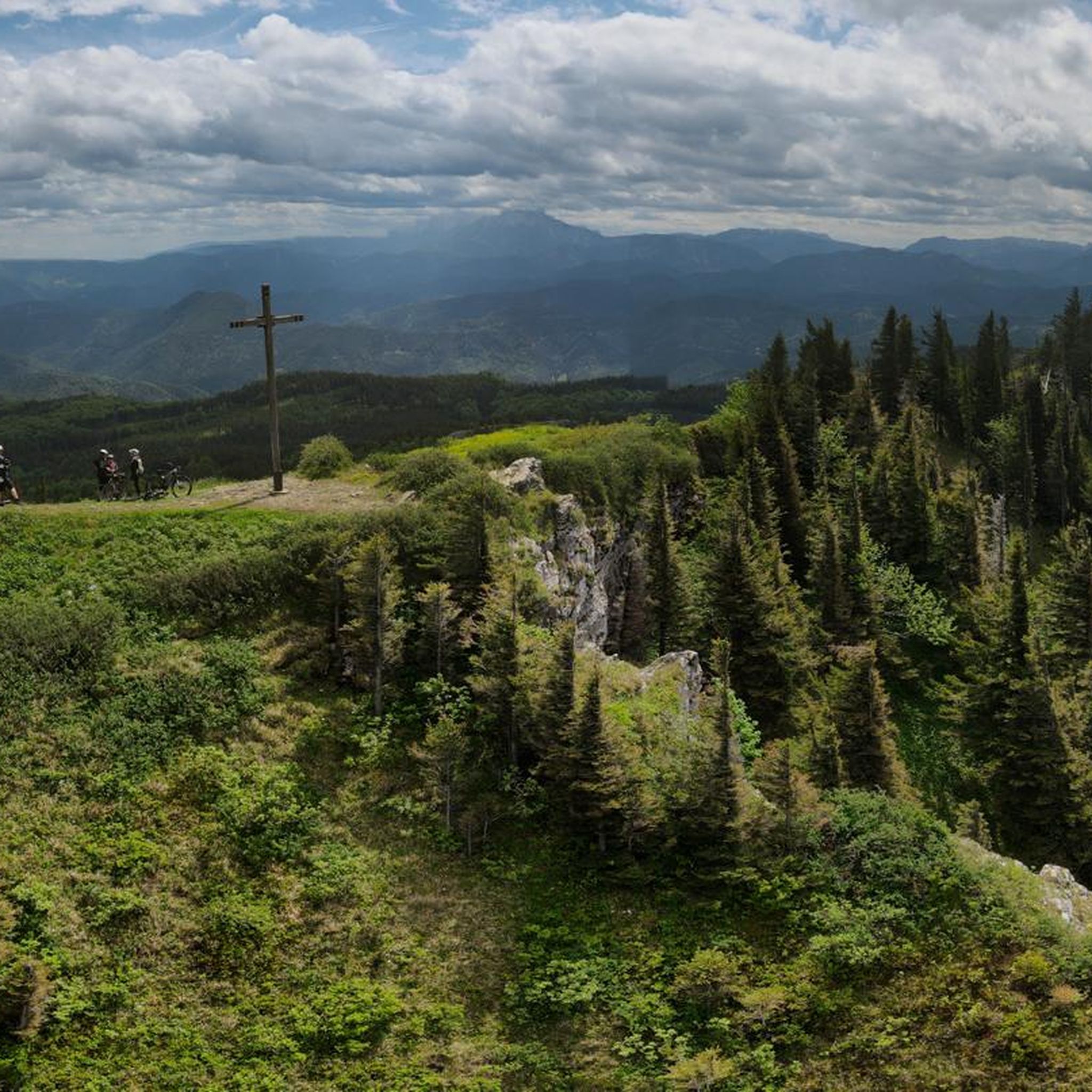
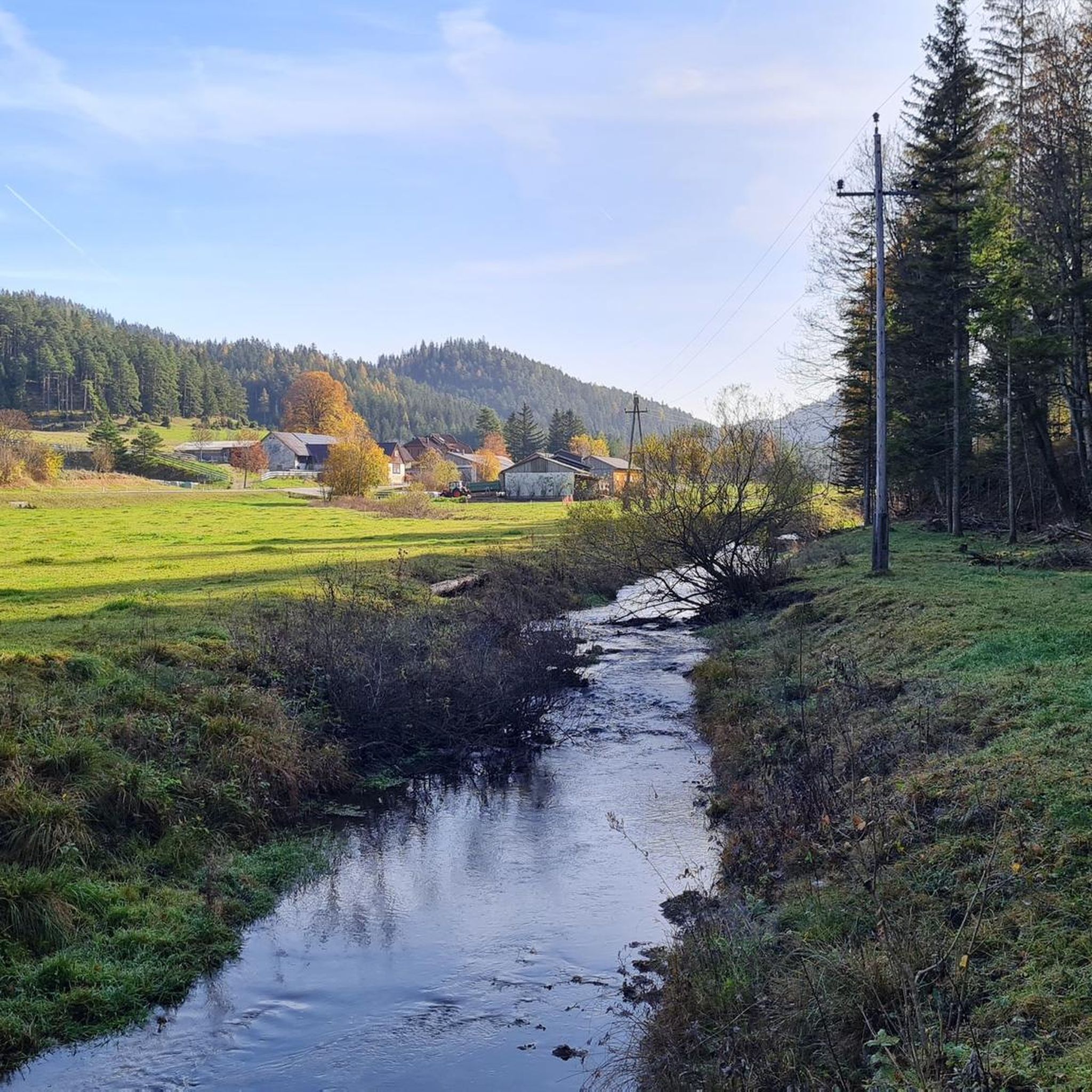
Mountaineering around Rohr im Gebirge offers diverse landscapes and challenging terrain in Lower Austria's Industrieviertel. The region is characterized by its location in the Alpine foothills, with prominent peaks like Schneeberg, Rax, Unterberg, and Jochart, the latter rising to 1266 m. Nearly 90% of the 80.58 square kilometers is covered in extensive forests, and the village lies along the Zellenbach stream in the upper Schwarzatal. The area features varied elevations and rocky formations, providing a range of mountaineering experiences.
Best…
Last updated: July 5, 2026
8
hikers
8.49km
03:00
490m
490m
Moderate mountaineering route. Good fitness required. Easily-accessible paths. Suitable for all skill levels.
5.0
(1)
13
hikers
10.9km
03:51
620m
620m
Moderate mountaineering route. Good fitness required. Easily-accessible paths. Suitable for all skill levels.

Sign up for free
15
hikers
12.6km
05:36
990m
990m
Hard mountaineering route. Very good fitness required. Sure-footedness, sturdy shoes and alpine experience required.
7
hikers
Hard mountaineering route. Very good fitness required. Easily-accessible paths. Suitable for all skill levels.
8
hikers
Moderate mountaineering route. Good fitness required. Mostly accessible paths. Sure-footedness required.
Get access to more routes and recommendations from other explorers.
Sign up for free
Already have an account?
Our route recommendations are based on thousands of hikes, rides, and runs completed by other people on komoot.
Start today with a free account
Your next adventure awaits.
Login or Signup
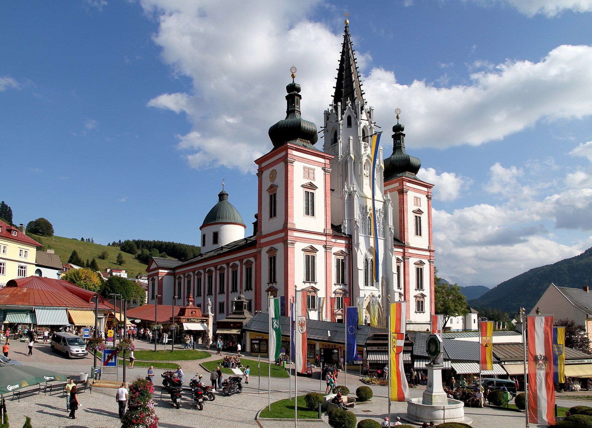
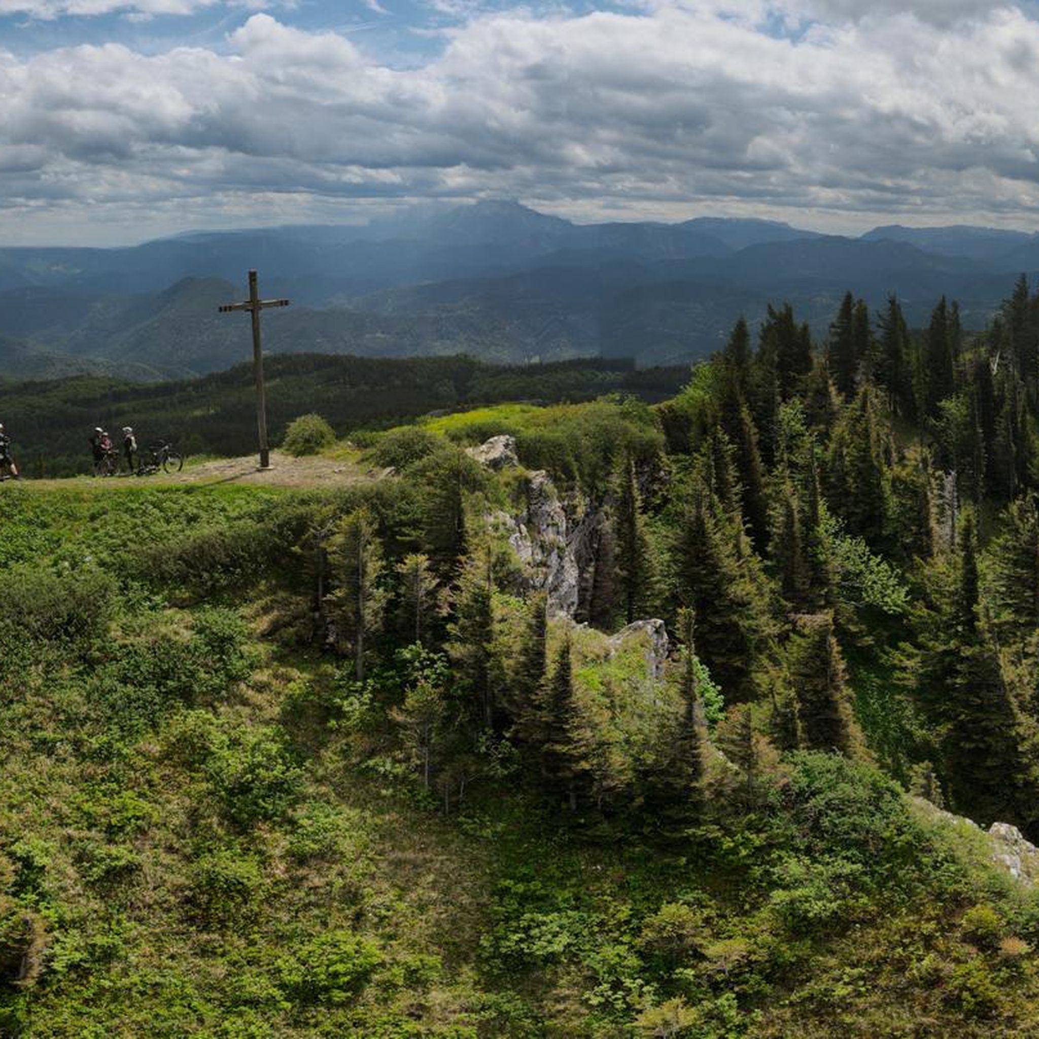
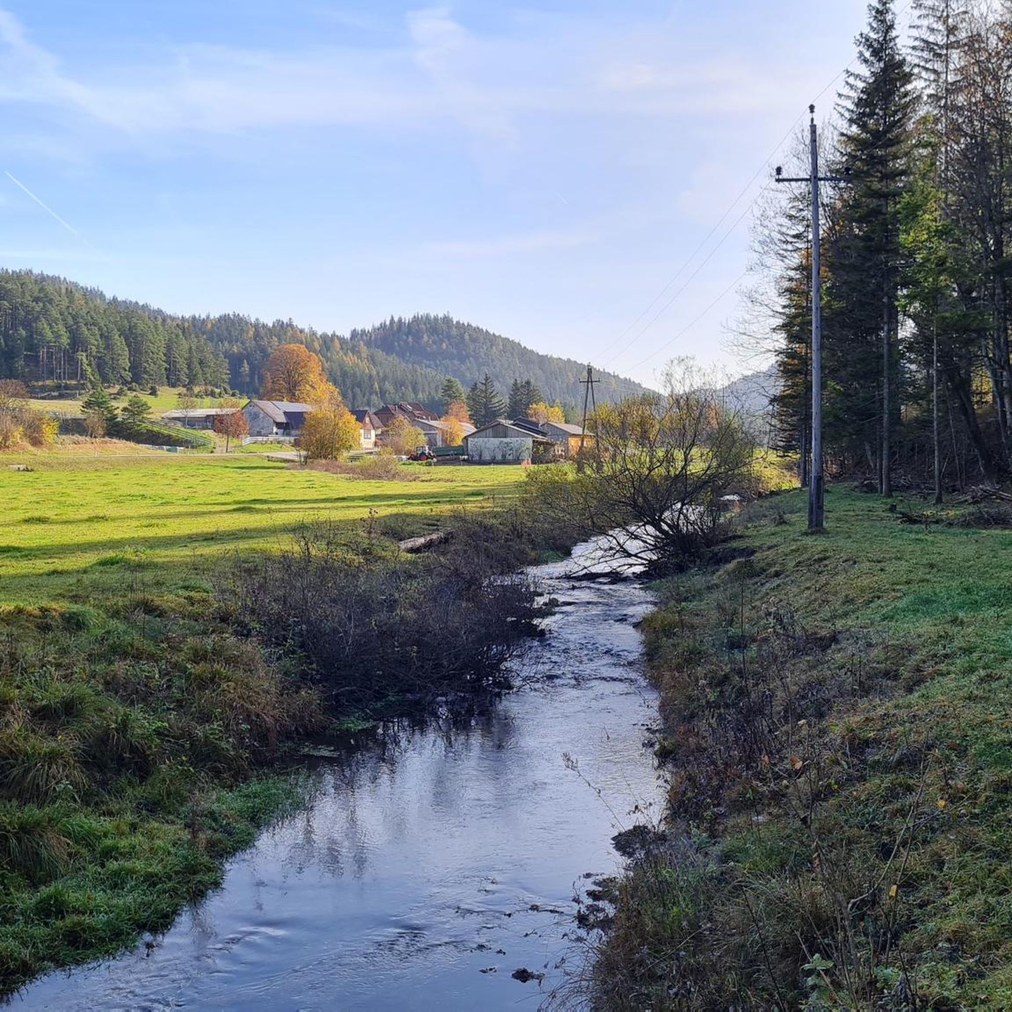
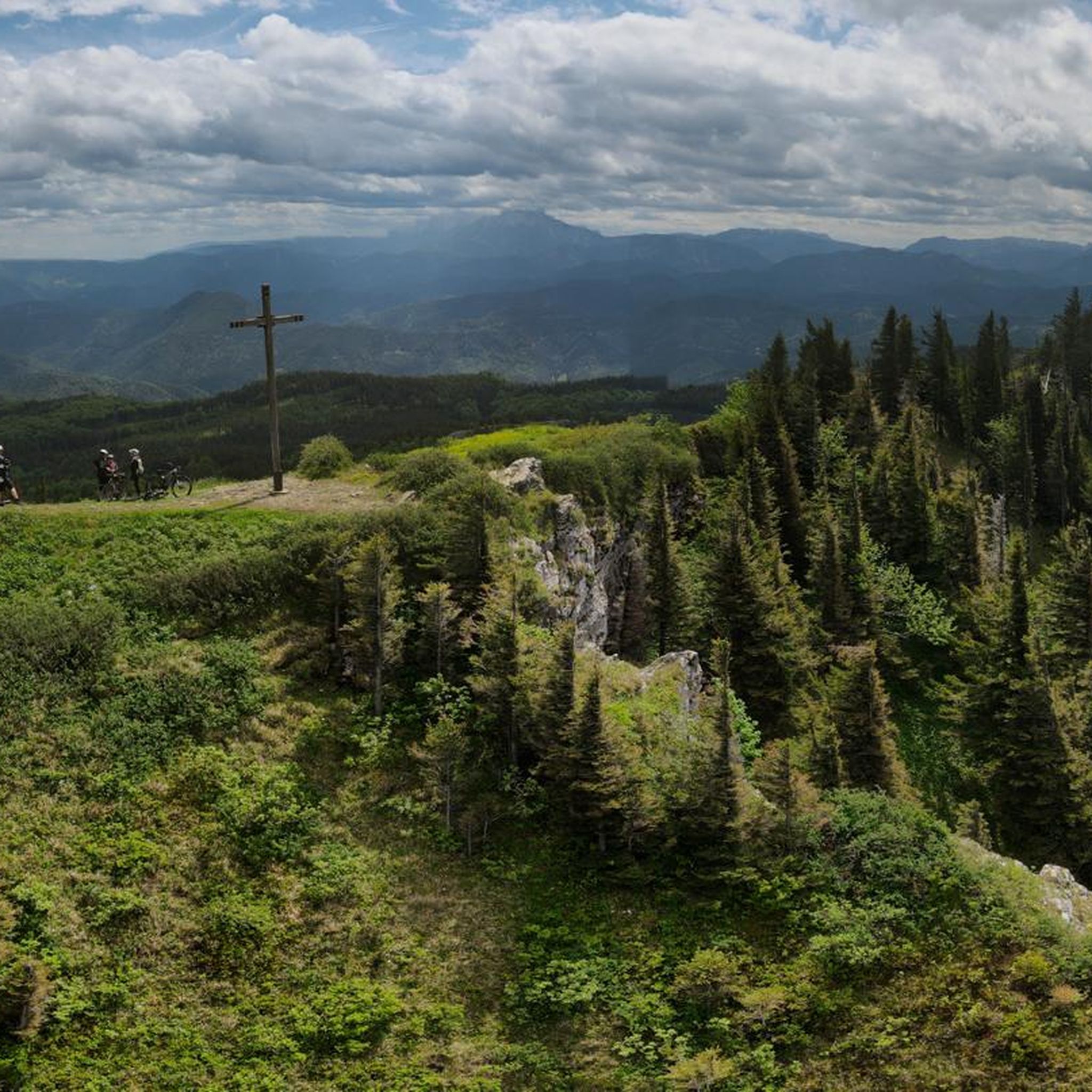
Other adventures around Rohr im Gebirge

Tips from the Community

A very interesting building. Looks great.
0
0

The food tastes good, but apart from the pasta dishes and meat dumplings (which are very, very tasty), it is very manageable.
0
0
The Maria-Einsiedl chapel is located in the immediate vicinity of the Unterberger Schutzhütte. Unfortunately, you can only enter the hut in the entrance area.
1
0

beautiful view of the Alpine foothills
0
0
beautiful viewpoint summit approx. 100m above the Unterberg Schutzhaus
0
0

According to Wikipedia, it is the northeasternmost mountain in the Alps that still retains its alpine character. There is an abundance of monkshood and gentian in the unmown meadows, many beautiful old beech and spruce trees, even the occasional rhododendron/alpine rose, and a curious holly grove which, due to its size, has (potentially) stood for several centuries on the northwest ridge at approximately 1100m next to the path coming from the Dürrholzer Kreuz.
0
0

A beautiful trail from the north side of the Gippel up to the summit – with constant views of the Gippelwand and Ötscher mountains and far-reaching vistas down into the Traisen Valley! A pleasure even in winter, and probably the cooler ascent option in summer 👍
0
0

Here you can enjoy great views of Schneeberg, Rax, Schneealpe, Göller Ötscher and much more.
2
0
Frequently Asked Questions
How many mountaineering routes are available in Rohr im Gebirge?
Rohr im Gebirge offers a wide selection of mountaineering routes, with over 40 tours available. These range from moderate ascents to more challenging climbs, catering to various skill levels.
What kind of terrain can I expect on mountaineering routes in Rohr im Gebirge?
You can expect diverse terrain, characterized by extensive forests, varied mountainous surroundings, and the picturesque Schwarzatal valley. The region is framed by peaks like Schneeberg, Rax, Unterberg, and Jochart, offering both challenging ascents and serene natural environments.
Are there any challenging mountaineering routes for experienced climbers?
Yes, Rohr im Gebirge provides several challenging routes. For instance, the Gippelmauer Ridge – Gippel (1669 m) loop from Brandstätterkogel is a difficult 12.6 km trail with significant elevation gain, often taking over 5 hours. The ascent to the Wasserstein summit also involves a short climb (SG I+) for those who enjoy pathless terrain.
What are some moderate mountaineering options in the area?
For moderate experiences, you could try the Unterberg Mountain Hut – Unterberg Summit loop from Drahtal, a 10.1 km trail that takes around 3 hours 38 minutes. Another great option is the Reisalpe Summit and Hut loop from Katastralgemeinde Innerfahrafeld, which is 12.7 km and typically takes about 4 hours 45 minutes.
Are there any waterfalls or other natural attractions to see along the routes?
Yes, the region is rich in natural beauty. You can discover the beautiful Sebastian waterfall, which is a notable highlight. The Myra waterfall and Myralucke Cave are also intriguing points of interest in the area.
What do other mountaineers say about the routes in Rohr im Gebirge?
The routes in Rohr im Gebirge are highly regarded by the komoot community, with an average rating of 4.6 stars from over 55 reviews. Mountaineers often praise the diverse terrain, the extensive forests, and the rewarding views from summits like Unterberg.
Are there any mountain huts or places to rest along the trails?
Yes, several mountain huts serve as excellent resting points. The Traisner Hut on the Hinteralm and the Öhler Hut are popular stops, offering refreshments and stunning views, making them ideal for a break during your mountaineering tour.
What are some prominent summits I can reach in Rohr im Gebirge?
You can aim for several prominent summits, including the Unterberg Summit, one of the highest peaks in the Gutenstein Alps, offering breathtaking views. Other notable peaks include the Jochart and the Edlaberg, providing varied elevations for exploration.
Can I find circular mountaineering routes in Rohr im Gebirge?
Yes, many routes in Rohr im Gebirge are designed as circular tours. For example, the Unterberg Summit – Unterberg Mountain Hut loop from P4 is a moderate 11.1 km circular path offering great views. The ascent to the Wasserstein summit also forms an interesting circular route.
What is the best season for mountaineering in Rohr im Gebirge?
While specific conditions vary, the region's extensive forests and diverse terrain make it appealing across multiple seasons. Spring and autumn offer pleasant temperatures and vibrant scenery, while summer provides longer daylight hours. Always check local weather conditions before heading out.
Are there any other interesting landmarks or points of interest near the mountaineering routes?
Beyond the summits, you can explore various natural monuments and passes. The Hausstein Summit offers views over the Myrabach valley, and you might encounter mountain passes like Ochsattel Pass or Klostertaler Gscheid Pass.
What are the typical durations for mountaineering tours in this region?
Mountaineering tours in Rohr im Gebirge vary in duration depending on difficulty and distance. Moderate routes, such as the Unterberg Mountain Hut – Unterberg Summit loop from Drahtal, can take around 3.5 to 4 hours. More difficult routes, like the Unterberg Mountain Hut – Unterberg Summit loop from Katastralgemeinde Gaupmannsgraben, can extend to over 5 hours.
Most popular routes around Rohr im Gebirge
Most popular attractions around Rohr im Gebirge

Get inspired with the komoot mobile app


Explore more
Browse the best Mountain Hikes & Routes in other regions.
