The best running trails around Hochleithen
4.6
(43)
1,124
runners
146
runs
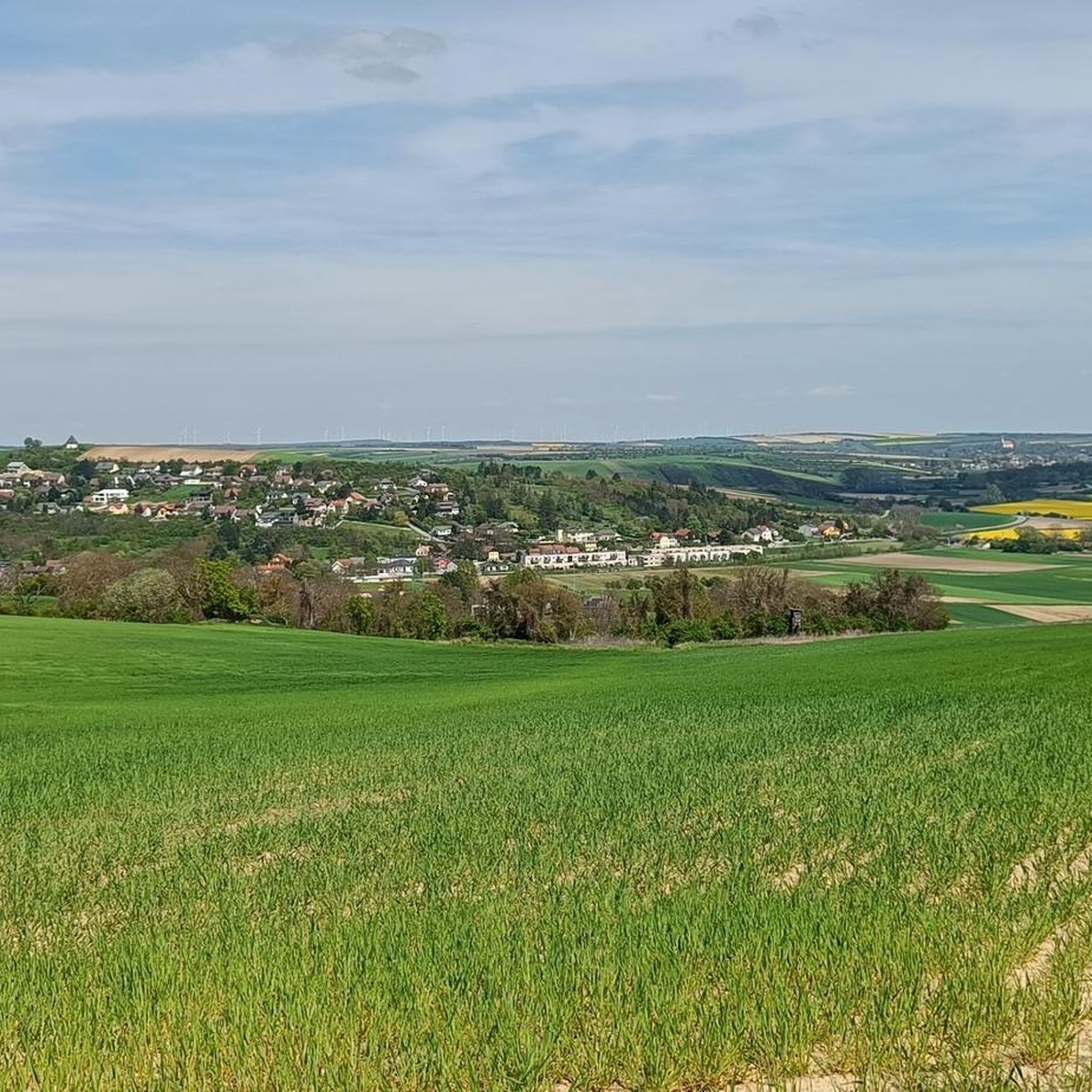
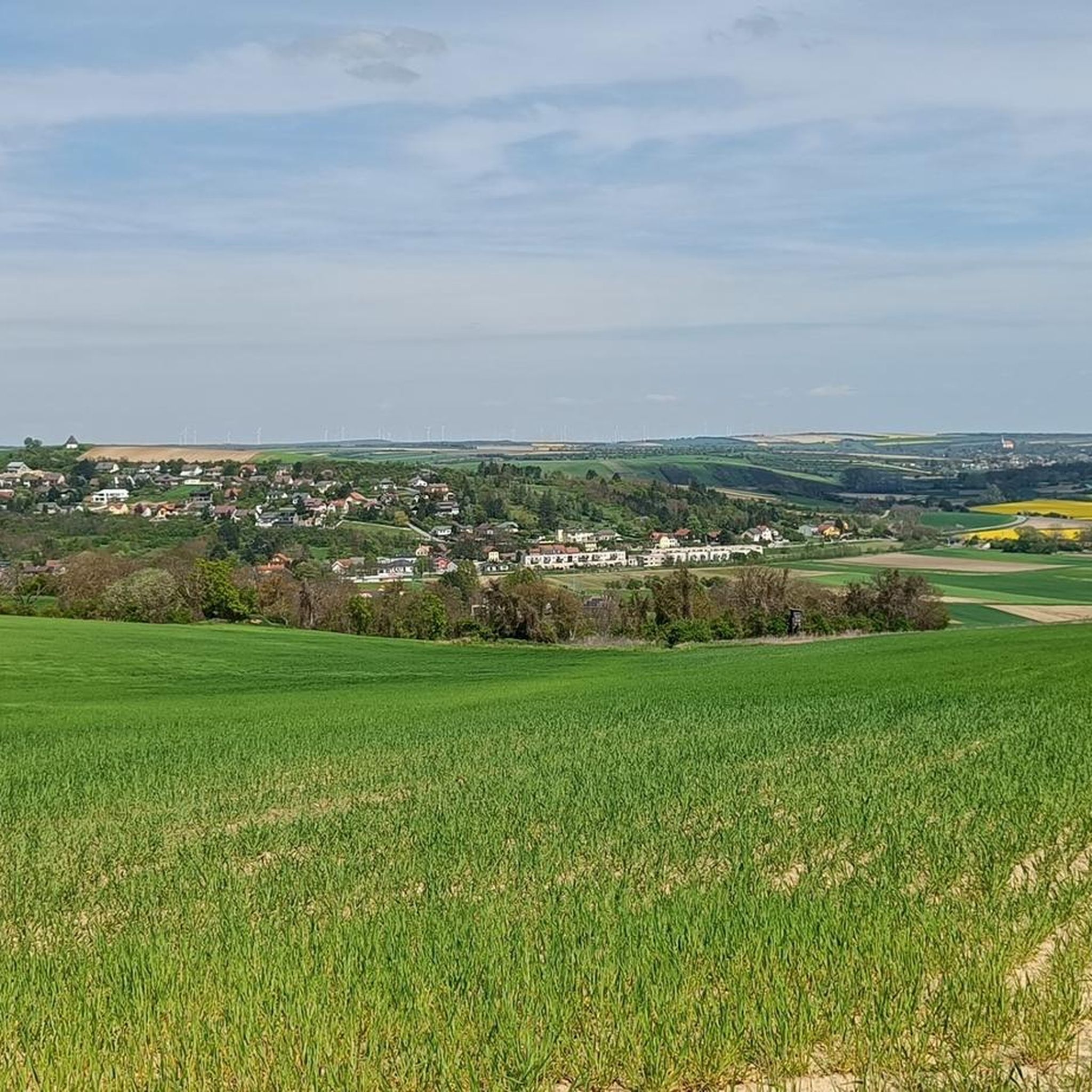
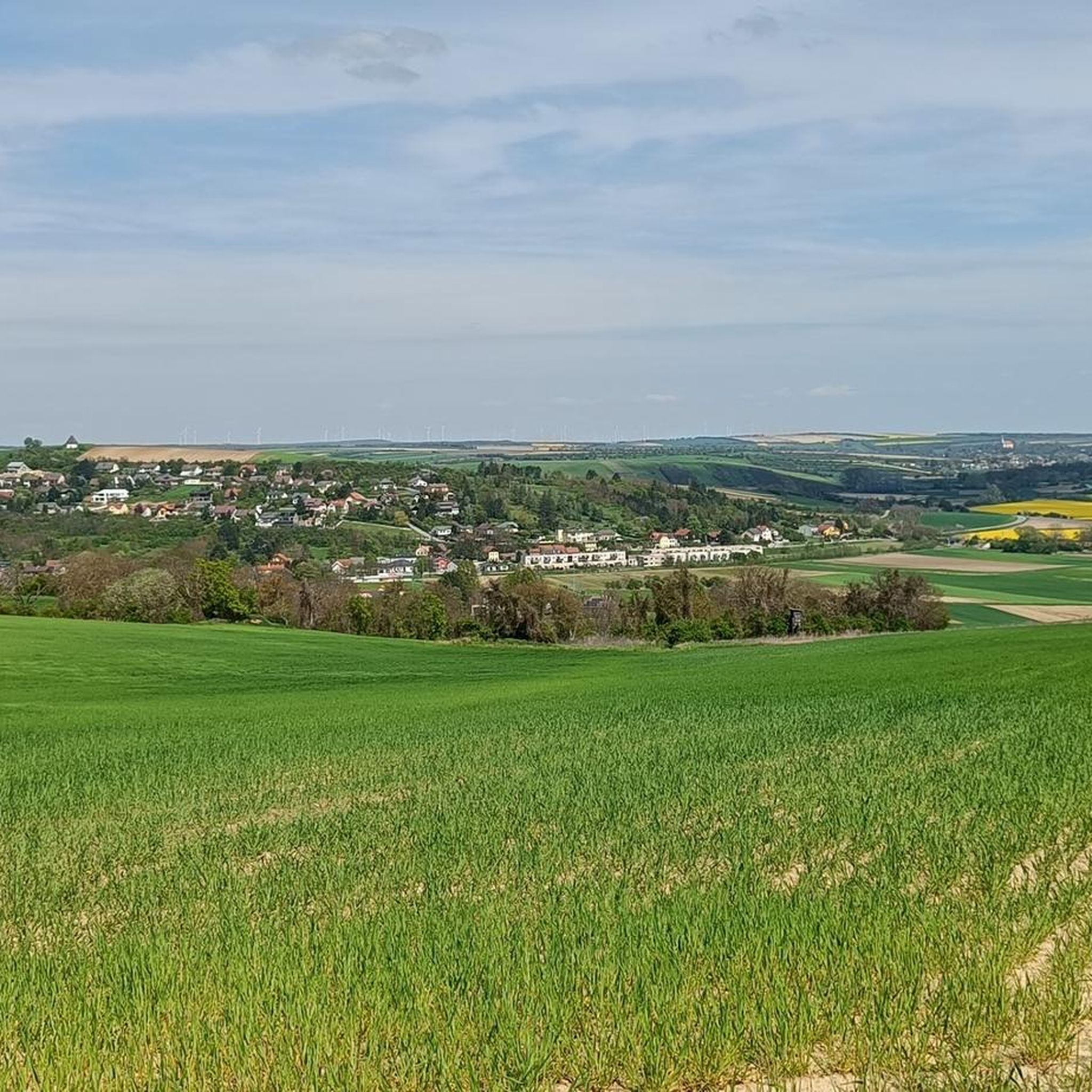
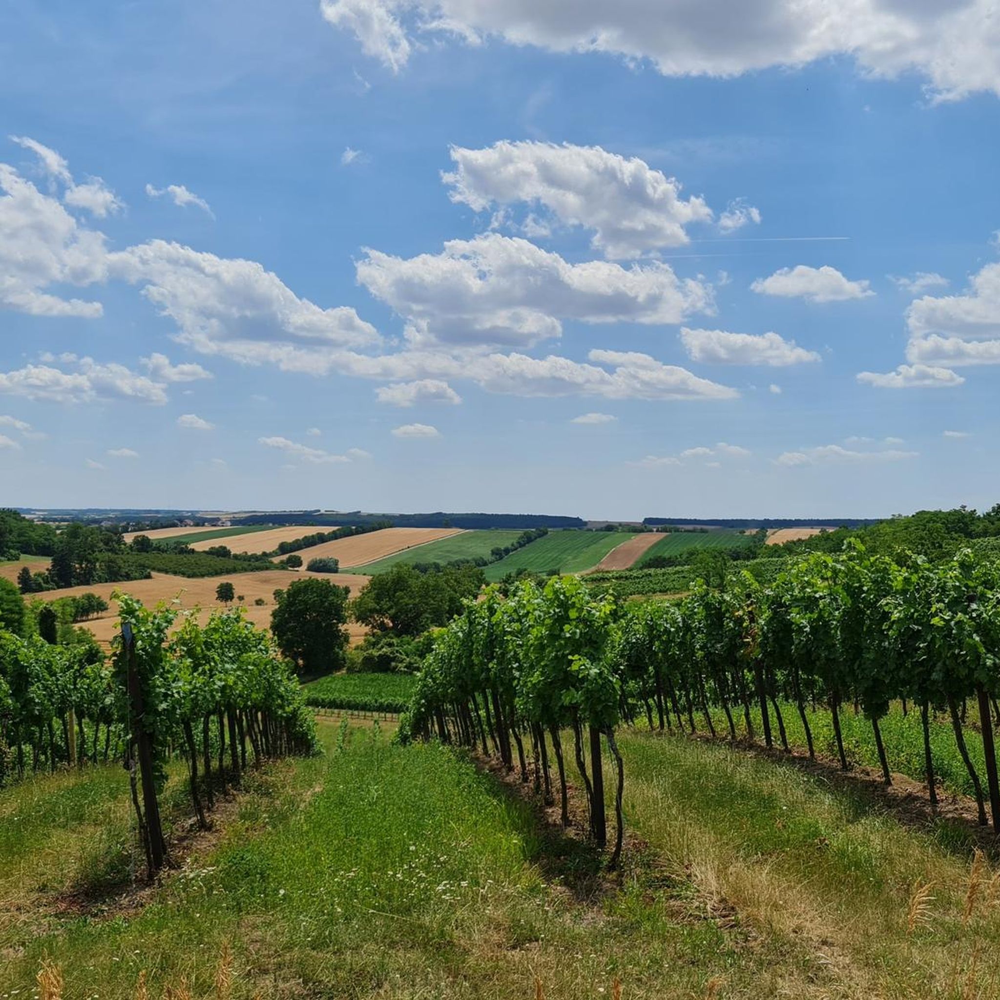
Jogging around Hochleithen offers a network of trails through varied landscapes. The region is characterized by gentle rolling terrain, often passing through woodlands, open fields, and alongside small streams. These running routes provide options for different fitness levels, from easy paths to more challenging long distance jogging trails.
Best jogging routes around Hochleithen
- The most popular jogging route is Rußbachtal Rest Area – Wolkersdorf Castle loop from Schleinbach, an 11.8 miles (19.1 km) trail that takes 2 hours to…
Last updated: July 29, 2026
5.0
(1)
18
runners
Hard run. Very good fitness required. Mostly paved surfaces. Suitable for all skill levels.
9
runners
8.81km
00:55
50m
50m
Moderate run. Good fitness required. Mostly paved surfaces. Suitable for all skill levels.

Sign up for free
6
runners
Moderate run. Good fitness required. Mostly paved surfaces. Suitable for all skill levels.
5
runners
4.08km
00:26
30m
30m
Easy run. Great for any fitness level. Mostly paved surfaces. Suitable for all skill levels.
3
runners
6.28km
00:40
80m
80m
Moderate run. Good fitness required. Mostly paved surfaces. Suitable for all skill levels.
Get access to more routes and recommendations from other explorers.
Sign up for free
Already have an account?
Our route recommendations are based on thousands of hikes, rides, and runs completed by other people on komoot.
Start today with a free account
Your next adventure awaits.
Login or Signup
Tips from the Community

Open 24/7, Spritzer/Grape Juice Spritzer chilled!!!
1
0


The castle is simply beautiful
1
0

The complex, which in its basic form dates back to the 13th century, now houses exhibition areas, a music school, a studio and a restaurant following a partial renovation between 2011 and 2013.
2
0

View is very nice
1
0

View far into Marchfeld and, on a clear day, even as far as Schneeberg.
0
0

New rest area with drinking fountain. Located along the bike path.
0
0

Nice, green and absolutely recommendable for a short break.
0
0
Frequently Asked Questions
How many running routes are available in the Hochleithen region?
The Hochleithen region offers a wide selection of running routes, with over 150 different trails to explore. These range from easy paths to more challenging long-distance options, catering to various fitness levels.
Are there easy running routes suitable for beginners in Hochleithen?
Yes, Hochleithen has several easy running routes perfect for beginners or those looking for a relaxed jog. For instance, the Running loop from Schloss Pellendorf is an easy 2.5-mile (4.1 km) path that can be completed in about 25 minutes, offering a gentle introduction to the area's terrain.
Where can I find longer running trails for endurance training in Hochleithen?
For longer runs, Hochleithen provides several options. The Rußbachtal Rest Area – Wolkersdorf Castle loop from Schleinbach is a challenging 11.8-mile (19.1 km) trail that takes around 2 hours, featuring a mix of open country and forested sections ideal for endurance training.
Are there family-friendly running paths in the Hochleithen area?
Many of the moderate and easy routes in Hochleithen are suitable for families, especially those with older children. The region's gentle rolling terrain and varied landscapes, often passing through woodlands and open fields, provide pleasant and safe environments for a family run. Always check the route difficulty and length to ensure it matches your family's capabilities.
Are dogs allowed on the running trails around Hochleithen?
Generally, dogs are welcome on the running trails in Hochleithen, especially in the natural areas and woodlands. It's always recommended to keep dogs on a leash, particularly when passing through agricultural areas or near wildlife, and to respect local regulations regarding pets.
What kind of scenic views can I expect while running in Hochleithen?
Running in Hochleithen offers a variety of scenic views, characterized by a mix of forest paths, open fields, and gentle hills. You'll encounter tranquil woodlands, expansive agricultural landscapes, and often small streams. The Kreutal Observation Tower – Shrine with Saint Statue loop from Schleinbach, for example, leads through diverse woodlands and open areas, providing picturesque vistas.
Are there any interesting landmarks or attractions along the running routes?
Yes, several routes pass by or near interesting landmarks. For instance, you might encounter natural monuments like the Marienbründl Spring on Heiligen Berg (Hautzendorf) or the Nexing Castle and Muschelberg. These highlights offer a chance to pause and explore during your run.
Is parking available near the running trails in Hochleithen?
Parking is generally available at various starting points for the running routes, especially in or near the villages that serve as trailheads. Many routes, like those starting from Schleinbach, have designated parking areas nearby, making access convenient for runners arriving by car.
What do other runners enjoy most about jogging in Hochleithen?
The running routes in Hochleithen are highly rated by the komoot community, with an average score of 4.6 stars. Runners often praise the region's varied terrain, the peaceful atmosphere of the woodlands and open fields, and the well-maintained paths that offer a pleasant experience for all fitness levels.
Are there circular running routes available in Hochleithen?
Yes, many of the running routes in Hochleithen are designed as circular loops, allowing you to start and finish at the same point. This is convenient for exploring the area without needing to arrange transportation back to your starting location. An example is the Rußbachtal Rest Area loop from Schleinbach, a moderate 5.5-mile (8.8 km) circular path.
What is the best time of year to go running in Hochleithen?
Hochleithen offers enjoyable running conditions throughout much of the year. Spring and autumn provide pleasant temperatures and beautiful scenery with blooming flora or vibrant fall colors. Summer mornings and evenings are also ideal to avoid the midday heat. Winter running is possible, but trails might be muddy or icy, so appropriate footwear is recommended.
Are there less crowded running spots in Hochleithen?
While some popular routes can see more activity, Hochleithen's extensive network of over 150 trails means it's often possible to find quieter spots. Exploring some of the less-trafficked paths, especially during off-peak hours or on weekdays, can lead to a more solitary running experience through the region's natural landscapes.
Most popular routes around Hochleithen
Most popular attractions around Hochleithen

Get inspired with the komoot mobile app


Explore more
Browse the best Running Trails & Routes in other regions.
