The best running trails around Whitehill
4.3
(12)
1,070
runners
56
runs
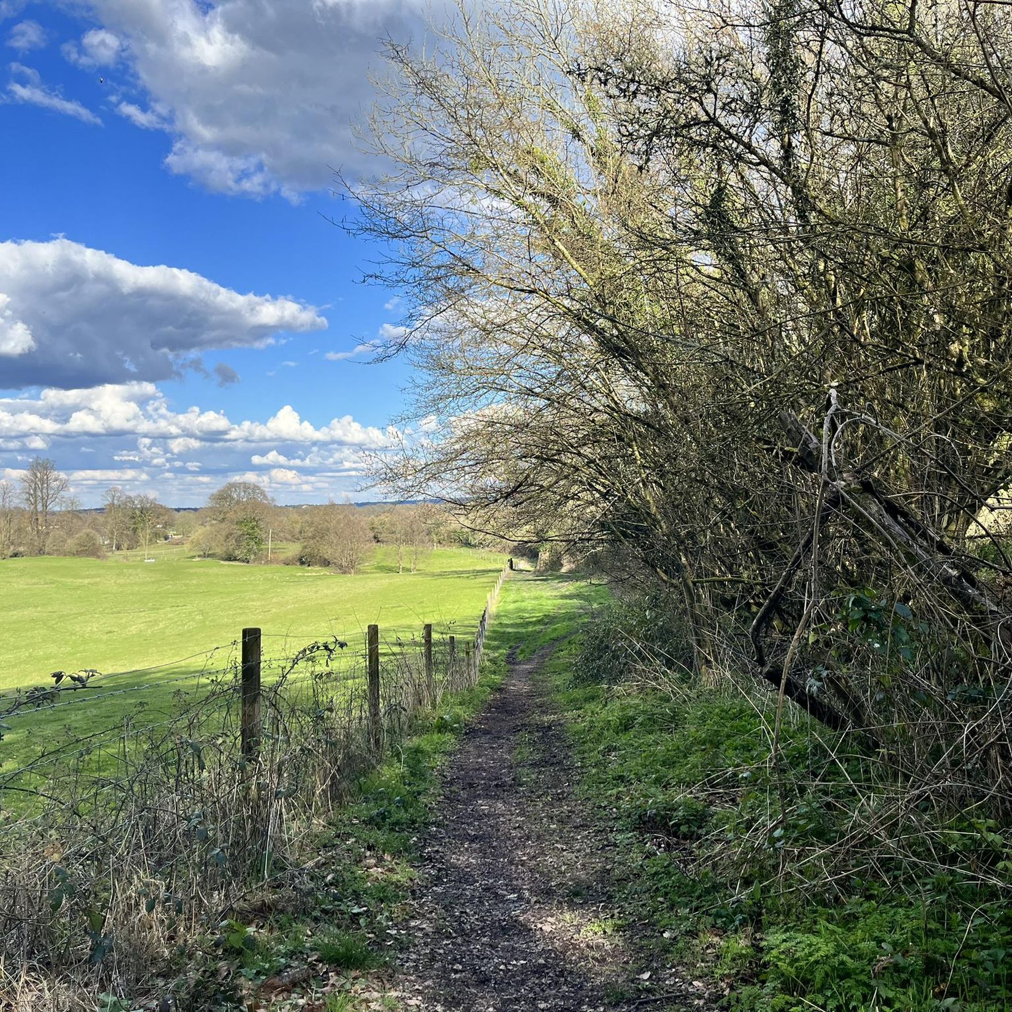
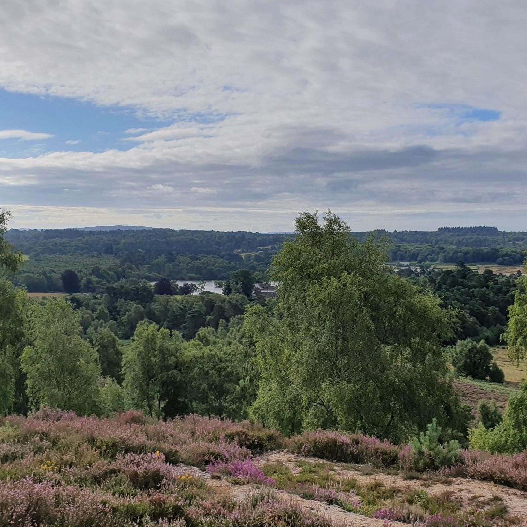
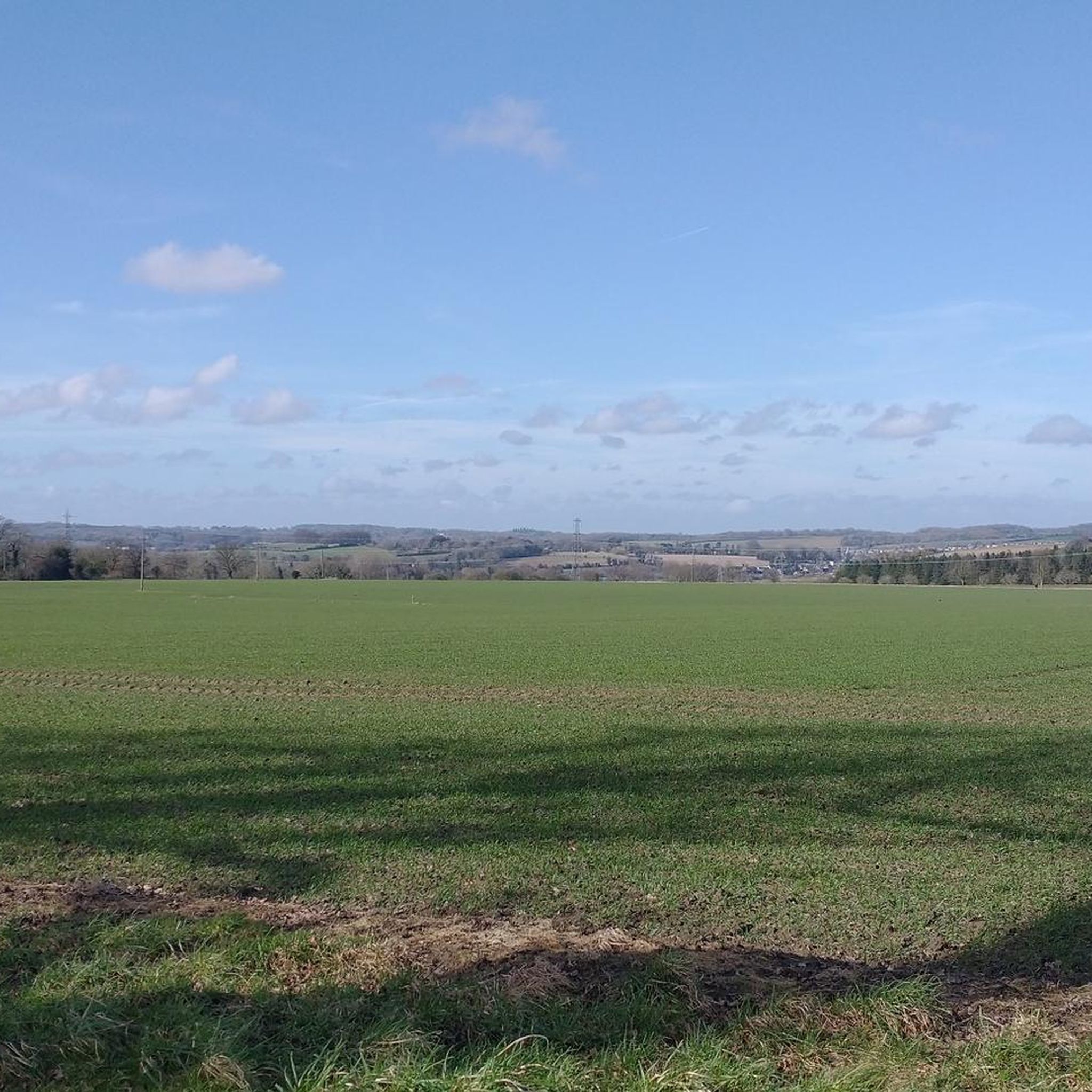
Jogging around Whitehill offers a diverse landscape for runners, characterized by extensive woodlands, open spaces, and varied terrain. The region features areas like Woolmer Forest and Longmoor Ranges, providing a mix of forest paths and more open trails. An ancient packhorse route, Salter's Lane, also runs through local woods, adding historical interest to the natural environment. These areas are part of a larger network, including sections within the South Downs National Park.
Best jogging routes around Whitehill
- The most popular…
Last updated: August 3, 2026
4.3
(4)
260
runners
10.5km
01:16
60m
60m
Jog the moderate 6.5-mile Woolmer Range Perimeter Loop through Woolmer Forest, gaining 196 feet in about 1 hour and 16 minutes.
76
runners
3.69km
00:26
20m
20m
Easy run. Great for any fitness level. Mostly paved surfaces. Suitable for all skill levels.

Sign up for free
3.5
(2)
36
runners
9.53km
01:01
50m
50m
Moderate run. Good fitness required. Mostly paved surfaces. Suitable for all skill levels.
3.5
(4)
51
runners
6.13km
00:39
30m
30m
Moderate run. Good fitness required. Mostly paved surfaces. Suitable for all skill levels.
5.0
(1)
41
runners
7.09km
00:45
60m
60m
Moderate run. Good fitness required. Mostly paved surfaces. Suitable for all skill levels.
Get access to more routes and recommendations from other explorers.
Sign up for free
Already have an account?
Our route recommendations are based on thousands of hikes, rides, and runs completed by other people on komoot.
Start today with a free account
Your next adventure awaits.
Login or Signup

Tips from the Community

A really fast section of gravel track which is great ride on a hybrid, gravel bike, mountain bike. The military may sometimes be shooting internally, but the track is almost always open for use.
0
0

really enjoy it here, some nice small technical features
0
0

Can either remain on the peri track (flat, open) or join the Shipwright's way (narrower path, wooded and pretty). Both reasonably flat
0
0
Easy flatish peri track, gravelled all the way round and open public access
0
0


This large area of heathland and woodland has public footpaths to follow from the hamlet of Conford in the north eastern part of the site. It is a significant area with a diversity of habitats supporting twelve known native species of reptiles and amphibians. Scenery includes oak-birch woodland, conifer plantations, open sandy heaths, and rough grazed pastures. There's lots of interesting plants and flowers to look out for. Also keep your eyes peeled for birds such as Dartford warbler and European nightjar. N.B The Woolmer Forest perimeter trail is a popular route. However this area is the outer ring of an active Ministry of Defence (MOD) Range Area and it is illegal and dangerous to enter when the red flags are flying. Please adhere to any closure signs. If in any doubt then contact Longmoor Ranges by phone on 01420 483405.
0
0
There is a very good compact gravel/dirt track that skirts around the 10km perimeter of Woolmer Ranges/Woolmer Forest. The area is a Ministry of Defence (MOD) training area. The track is open to the public but the MOD area is fenced off.
3
0
This large area of heathland and woodland has public footpaths to follow from the hamlet of Conford in the north eastern part of the site. It is a significant area with a diversity of habitats supporting twelve known native species of reptiles and amphibians. Scenery includes oak-birch woodland, conifer plantations, open sandy heaths, and rough grazed pastures. There's lots of interesting plants and flowers to look out for. Also keep your eyes peeled for birds such as Dartford warbler and European nightjar. N.B The Woolmer Forest perimeter trail is a popular route. However this area is the outer ring of an active Ministry of Defence (MOD) Range Area and it is illegal and dangerous to enter when the red flags are flying. Please adhere to any closure signs. If in any doubt then contact Longmoor Ranges by phone on 01420 483405.
1
0
Frequently Asked Questions
How many running routes are available around Whitehill?
There are over 40 running routes available around Whitehill, offering a diverse range of options for joggers. Most of these, 38 to be exact, are rated as moderate difficulty, with a few easy and difficult options also available.
What do other runners say about the trails in Whitehill?
The running trails in Whitehill are highly rated by the komoot community, with an average score of 3.9 stars from 8 reviews. Over 750 runners have used komoot to explore the varied terrain, often praising the extensive woodland paths and open grassland.
Are there any circular running routes in Whitehill?
Yes, many of the routes around Whitehill are circular, providing convenient loops for your run. For example, the Woolmer Forest perimeter loop from Woolmer Pond is a popular choice, offering a scenic run through the forest.
Can I bring my dog on the running trails in Whitehill?
Many of the woodland paths and open spaces in Whitehill, including areas within Woolmer Forest and Longmoor Ranges, are suitable for dog walking and running. Always ensure your dog is under control and check for any local signage regarding leash requirements or restricted areas, especially in nature reserves.
Are there family-friendly jogging options around Whitehill?
Yes, Whitehill offers several family-friendly jogging options, particularly on its easier and moderate trails. The extensive network of paths in areas like White Hill Woods provides varied terrain that can be enjoyed by families. Look for routes with gentler gradients and well-maintained surfaces.
What kind of terrain can I expect on the jogging trails?
The jogging trails around Whitehill feature a diverse landscape, primarily characterized by extensive woodlands, open spaces, and varied terrain. You'll find a mix of forest paths, open trails, and even an ancient packhorse route like Salter's Lane. Some areas are part of the South Downs National Park, offering picturesque views.
Are there any places to explore or attractions near the running paths?
Absolutely! While jogging, you can discover several interesting spots. You might pass by beautiful bodies of water like Frensham Little Pond or Forest Mere Lake. For historical interest, the Celtic Cross on Gibbet Hill is a notable landmark. Many trails also connect to larger networks within the South Downs National Park.
What kind of wildlife might I see while running in Whitehill?
Whitehill's woodlands and open spaces are a haven for local wildlife. In White Hill Woods, you might spot abundant birdlife, including woodpeckers, soaring buzzards, and hovering kestrels. The area's natural features, such as rare limestone grassland, also support diverse flora and fauna, especially in spring when wildflowers are in bloom.
Where can I find parking for the jogging routes?
Many popular starting points for jogging routes in Whitehill, especially those accessing areas like Woolmer Forest and Longmoor Ranges, have designated parking facilities. It's advisable to check specific route details on komoot for information on nearby parking areas before you head out.
Are there options to reach the trails by public transport?
While specific public transport links to every trailhead may vary, Whitehill and nearby towns like Bordon have public transport services. You can often find bus routes that stop within walking distance of trail access points, particularly for routes closer to settled areas. Planning your journey in advance is recommended.
Are there cafes or pubs near the running routes for a post-run refreshment?
Yes, you'll find cafes and pubs in and around Whitehill and nearby villages. Many are conveniently located close to popular trailheads or within a short distance, offering a perfect spot to refuel or relax after your run. Checking local listings for establishments near your chosen route is a good idea.
What are the seasonal considerations for running in Whitehill?
Whitehill offers enjoyable running year-round. In spring, the woodlands and grasslands are particularly beautiful with wildflowers. Summer provides longer daylight hours, while autumn brings stunning foliage. Winter runs can be crisp and invigorating, though some paths might be muddy or slippery, so appropriate footwear is recommended.
Most popular routes around Whitehill
Most popular attractions around Whitehill

Get inspired with the komoot mobile app


Explore more
Browse the best Running Trails & Routes in other regions.
