The best running trails around Thaya
4.6
(36)
406
runners
68
runs
Jogging around Thaya offers diverse landscapes, primarily shaped by the Thaya River valley, which features pronounced meanders and steep cliffs. The region is characterized by a mix of diverse forests, including oak and pine, alongside open meadows. Many routes traverse hilly terrain, providing varied gradients for runners. This area, encompassing the Thayatal National Park, connects to the Podyjí National Park across the border, offering extensive natural landscapes for running.
Best jogging routes around Thaya
- The most popular jogging route is…
Last updated: October 5, 2026
5.0
(2)
13
runners
7.69km
00:50
90m
90m
Moderate run. Good fitness required. Mostly paved surfaces. Suitable for all skill levels.
10
runners
5.47km
00:34
40m
40m
Moderate run. Good fitness required. Mostly paved surfaces. Suitable for all skill levels.

9
runners
13.6km
01:26
140m
140m
Moderate run. Good fitness required. Mostly paved surfaces. Suitable for all skill levels.
10
runners
Moderate run. Good fitness required. Mostly paved surfaces. Suitable for all skill levels.
9
runners
32.6km
03:33
300m
300m
Hard run. Very good fitness required. Mostly paved surfaces. Suitable for all skill levels.
Get access to more routes and recommendations from other explorers.
Already have an account?
Our route recommendations are based on thousands of hikes, rides, and runs completed by other people on komoot.
Start today with a free account
Your next adventure awaits.

Tips from the Community

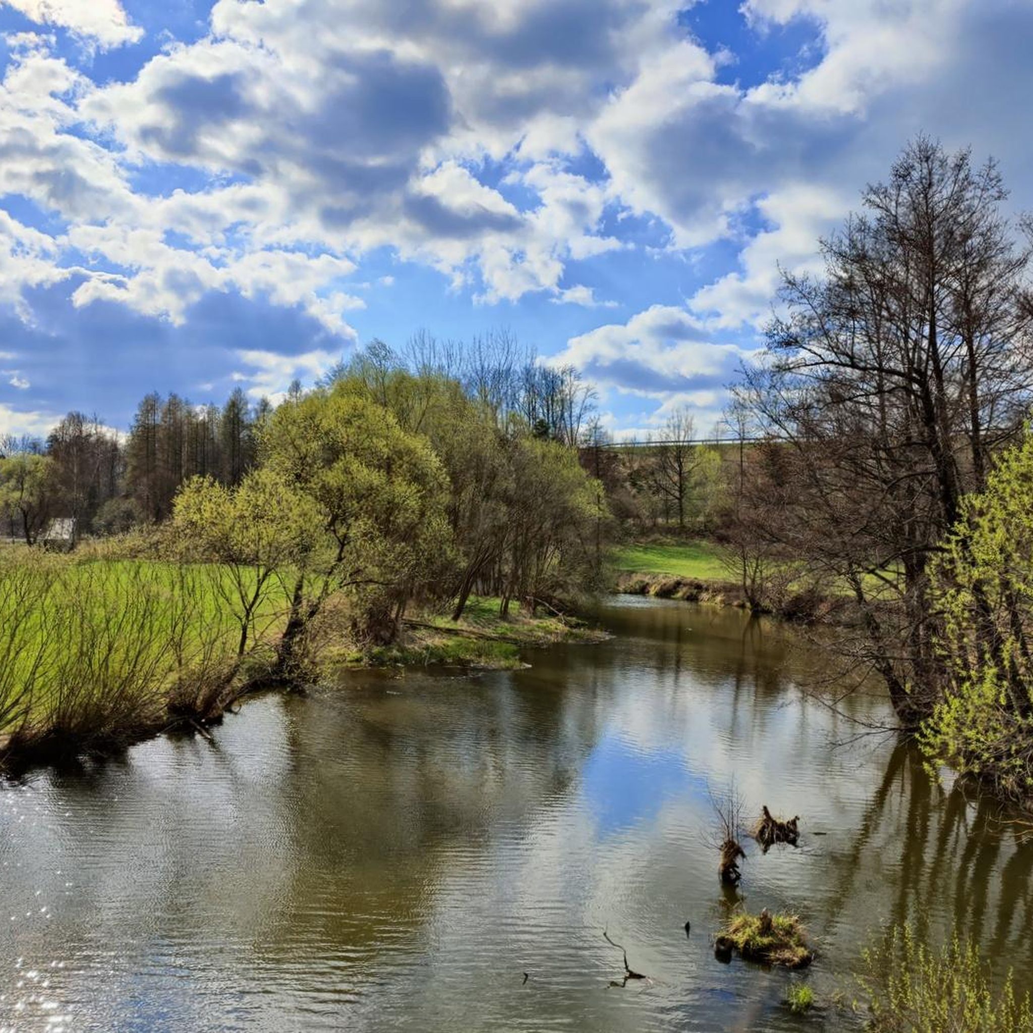
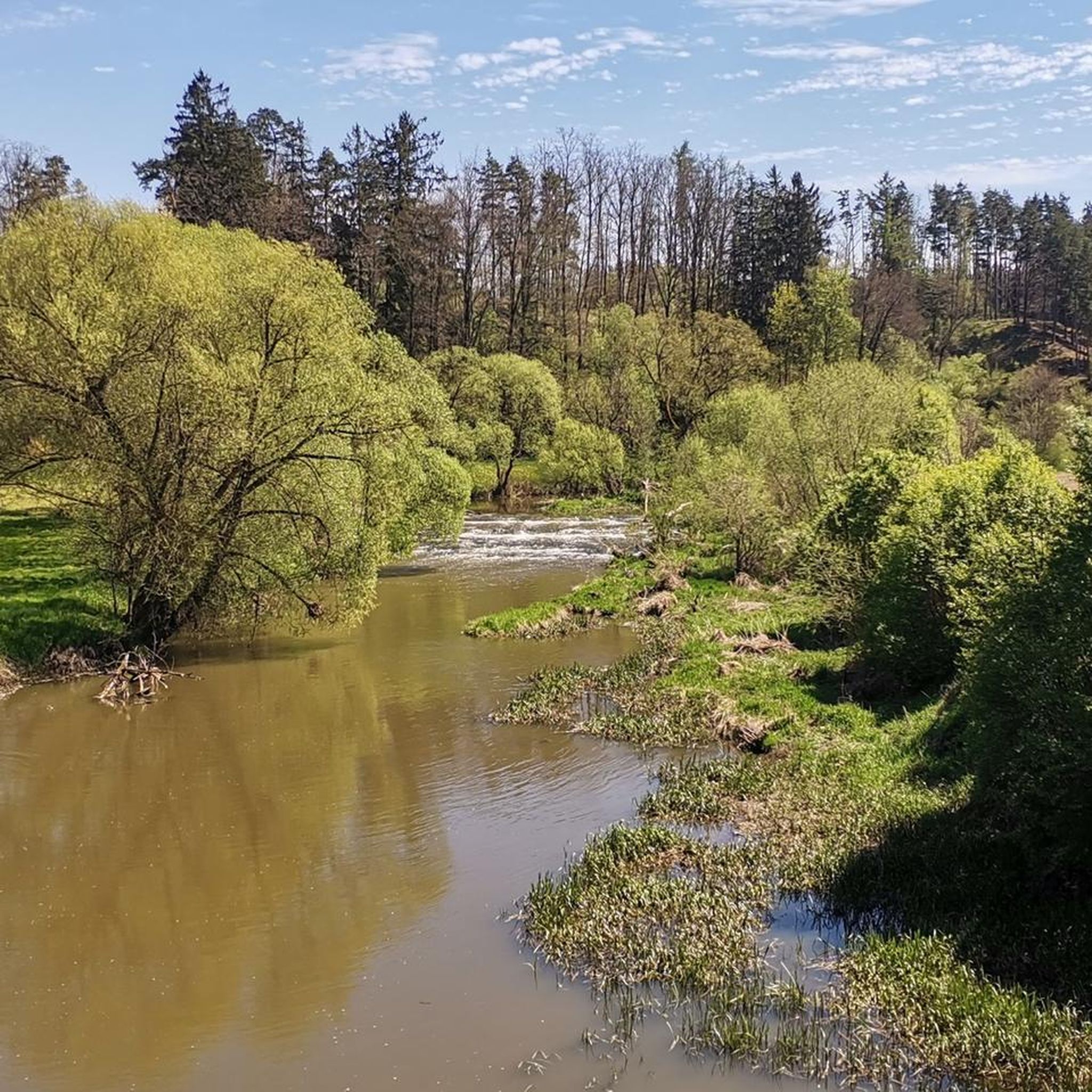
Normally, the Thaya is very shallow here and flows over stones like a small waterfall. Looks nice.
0
0

The former castle was located east of the present church, with the church grounds incorporated into the complex. The village of Vestenötting was formerly called Netich, and a noble residence was first mentioned here in 1255 by Hernestus de Netich (Ernst von Netich), who appears as a witness in a document. These were vassals of Hans von Traun from Waidhofen, to whom the property reverted in 1385. The castle was severely damaged by the Hussites in 1430 and no longer appears in any documents. In 1456, Wolfgang von Traun and his relatives were granted the Netichen estate near Waidhofen an der Teya. Later, Wolfgang Gaßner was granted the church fief of Nettig. Around 1587, Pilgrim von Puchheim had a "new storey" built near the mill and the farmyard, today's Vestenötting Castle. Building materials from the destroyed castle were also used for this purpose. In the 19th century, the estate was merged with the neighboring Waidhofen estate, and the castle became the seat of the forestry administration. The severely neglected building, last renovated in 1903 and largely empty, now belongs to the Counts Gudenus, who live in Waidhofen Castle.
0
0

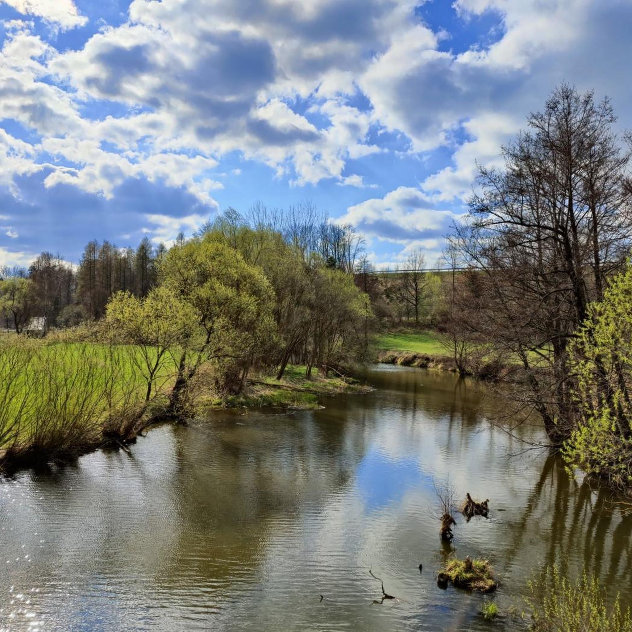
Here a foot and cycle bridge takes you over the Deutsche Thaya. As you cross, you have great views of the river.
0
0

An impressive rock by the wayside.
0
0

The pioneer footbridge is part of the forest nature trail in the Dobersberg Nature Park. Over a total of around one and a half kilometers you will learn everything about the Thayatal habitat on this informative educational trail.
1
0
As one of 1,600 natural monuments in Lower Austria, the Paulstein is located directly on the Thaya and offers you not only a beautiful view, but also wonderful nature all around.
1
0

Vestenpoppen Wohlfahrts Tayabrücke
0
0

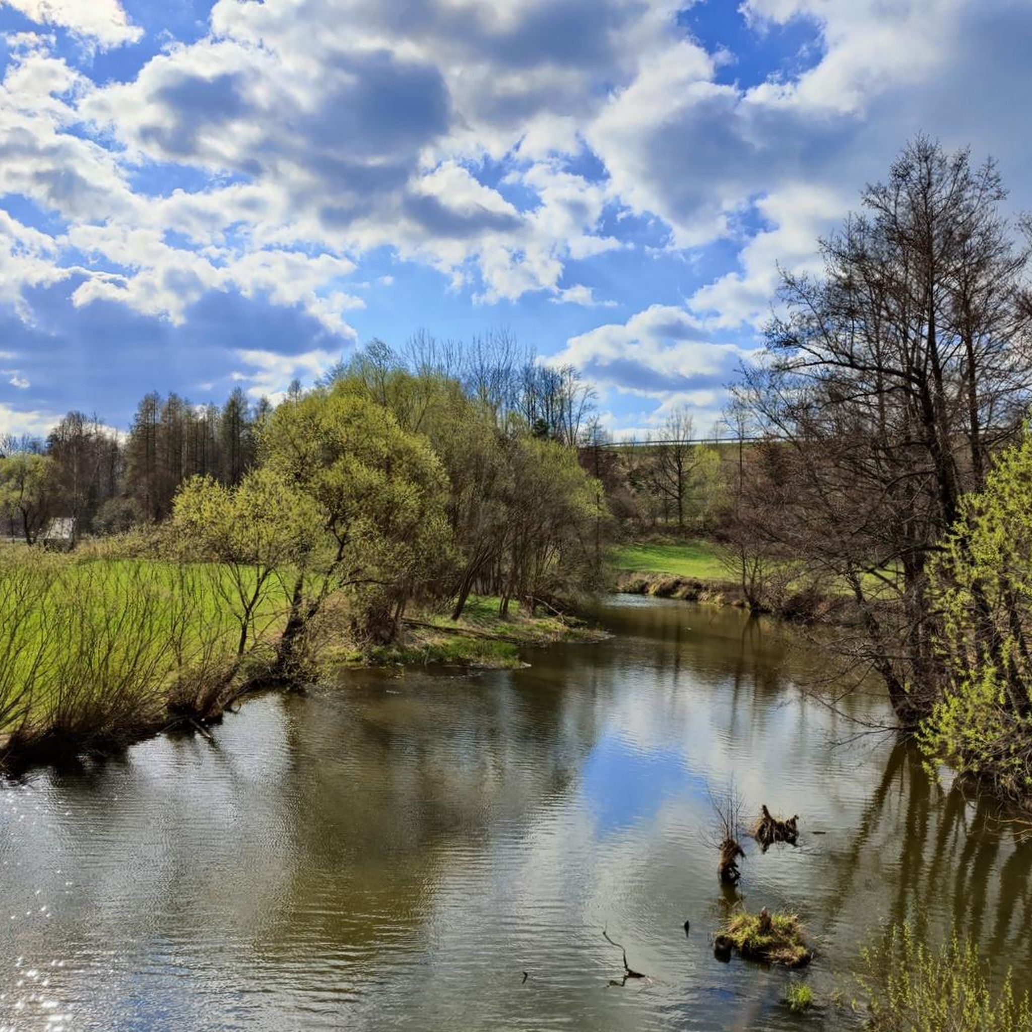
While driving past the Thayatal cycle path I noticed this footbridge over the Thaya and I made the short detour to the shore to look at it. A hiking trail in the nature park continues on the other bank. The jetty offers a beautiful view of the water and is equipped with a wheelchair ramp.
1
0
Frequently Asked Questions
How many running routes are available in the Thaya region?
The Thaya region offers a wide selection of running routes, with over 70 trails available for you to explore. These routes cater to various fitness levels, from easy strolls to more challenging runs.
What kind of terrain can I expect on running routes in Thaya?
Jogging in Thaya means experiencing diverse and often hilly terrain. Routes frequently follow the dramatic Thaya River valley, featuring pronounced meanders and steep cliffs. You'll run through varied forests, including oak and pine, alongside open meadows, providing a mix of surfaces and gradients, including some steep ascents and descents.
Are there any family-friendly running routes in Thaya?
Yes, the Thaya region has several easy running routes suitable for families. There are 7 easy routes available, often leading through gentle meadows or along less challenging sections of the river. These provide a great way for families to enjoy the outdoors together.
Can I bring my dog on the running trails in Thaya?
The Thayatal National Park, which is central to the region, generally welcomes dogs on trails, but they must be kept on a leash. It's always best to check specific regulations at the National Park Center or on local signage, as rules can vary for protected areas and certain routes.
Are there any circular running routes in the Thaya region?
Many of the running routes in Thaya are designed as loops, allowing you to start and finish at the same point. For example, the Bridge over the Deutsche Thaya loop from Waidhofen an der Thaya is a popular moderate 6.3 km circular route offering river views.
What natural features or landmarks can I see while jogging in Thaya?
While running in Thaya, you'll encounter stunning natural features like the dramatic Thaya River valley with its meanders and cliffs, diverse forests, and open meadows. You might also pass historical sites such as castles. For instance, you could explore Karlstein Castle or Gilgenberg Castle, which are among the nearby attractions.
Where can I park my car when visiting the Thayatal National Park for a run?
The Thayatal National Park offers designated parking areas, particularly around the National Park Center in Hardegg, which serves as a common starting point for many trails. Look for marked parking lots at trailheads throughout the region.
Is public transport available to reach running trails in Thaya?
Public transport options to reach the Thayatal National Park and surrounding areas exist, though they might be less frequent than in urban areas. It's advisable to check local bus schedules, especially for connections to towns like Hardegg or Waidhofen an der Thaya, which serve as gateways to many running routes.
What is the best season for jogging in the Thaya region?
The Thaya region is beautiful year-round, but spring and autumn offer particularly pleasant conditions for running, with mild temperatures and vibrant natural colors. Summer can be warm, making early morning or late afternoon runs ideal, while winter running is possible but requires appropriate gear for potentially snowy or icy conditions.
What do other runners say about the trails in Thaya?
The running routes in Thaya are highly regarded by the komoot community, boasting an average rating of 4.5 stars from over 30 reviews. Runners frequently praise the diverse landscapes, the scenic beauty of the Thaya River valley, and the varied terrain that keeps runs interesting and engaging.
Are there any challenging running routes for experienced runners in Thaya?
Absolutely. For those seeking a more demanding run, the Thaya region offers several difficult routes. An example is the Thaya Bridge on the Thaya Cycle Path – Thayatal Nature Park Dobersberg loop from Niederedlitz, a challenging 32.5 km path with significant elevation changes, winding through the Thayatal Nature Park.
Can I find places to eat or stay near the running routes in Thaya?
Yes, towns and villages within and around the Thaya region, such as Hardegg and Waidhofen an der Thaya, offer various options for refreshments and accommodation. You'll find cafes, restaurants, and guesthouses where you can refuel and relax after your run.
Are permits required for jogging in Thayatal National Park?
Generally, no specific permits are required for jogging on the marked trails within Thayatal National Park. However, it's always good practice to respect park regulations, stay on designated paths, and be mindful of wildlife and other visitors.
Most popular attractions around Thaya

Get inspired with the komoot mobile app


Explore more
Browse the best Running Trails & Routes in other regions.
