The best running trails around Dietmanns
4.5
(13)
322
runners
58
runs
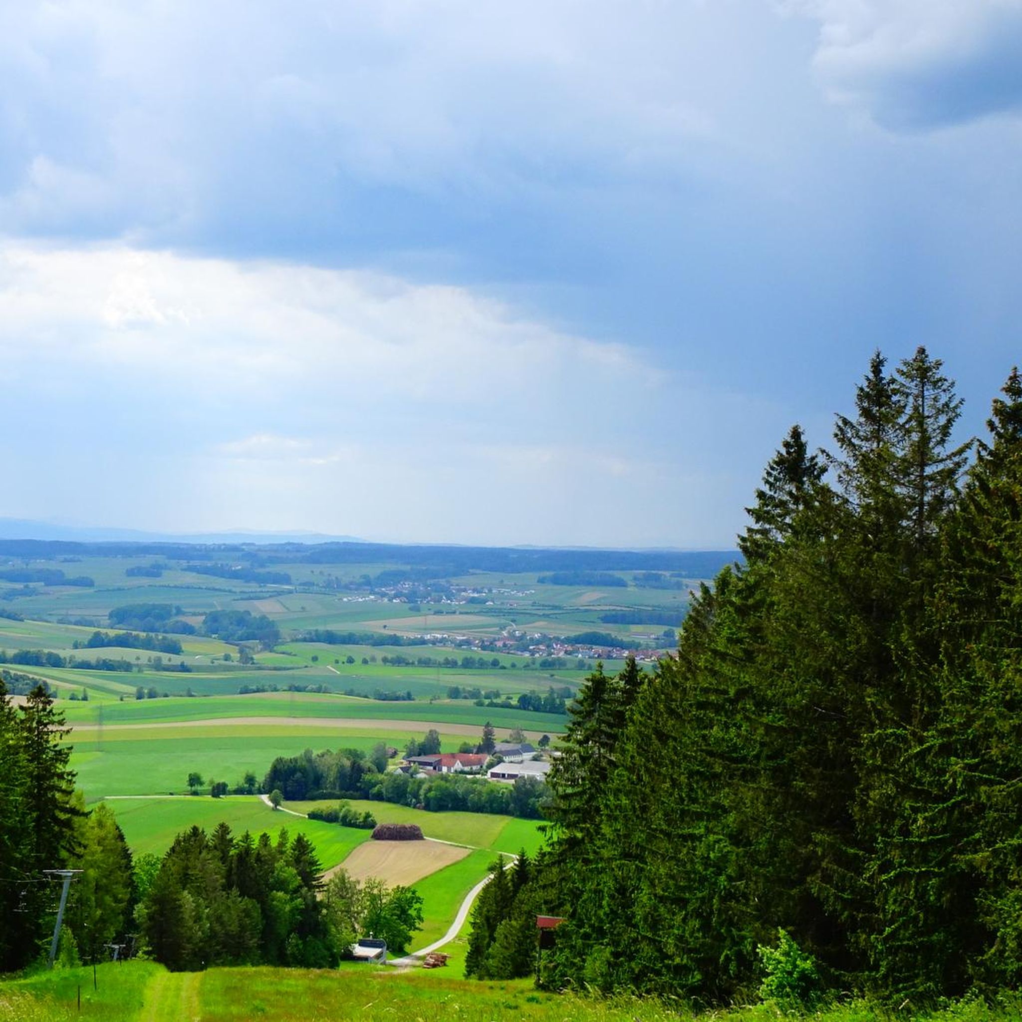
Jogging around Dietmanns offers a variety of routes through natural landscapes. The region is characterized by the expansive Iller Floodplains and the River Iller, providing scenic environments for running. Joggers can find paths along river landscapes and through natural habitats. The terrain includes gentle gradients suitable for various fitness levels.
Best jogging routes around Dietmanns
- The most popular jogging route is Löschteich loop from Windigsteig, a 6.1 miles (9.8 km) trail that takes 1 hour 3 minutes to complete.…
Last updated: October 5, 2026
17
runners
9.80km
01:03
100m
100m
Moderate run. Good fitness required. Mostly paved surfaces. Suitable for all skill levels.
16
runners
Moderate run. Good fitness required. Mostly paved surfaces. Suitable for all skill levels.

5.0
(1)
9
runners
7.92km
00:51
80m
80m
Moderate run. Good fitness required. Mostly paved surfaces. Suitable for all skill levels.
10
runners
8.15km
00:51
80m
80m
Moderate run. Good fitness required. Mostly paved surfaces. Suitable for all skill levels.
11
runners
8.04km
01:01
190m
190m
Moderate run. Good fitness required. Mostly paved surfaces. Suitable for all skill levels.
Get access to more routes and recommendations from other explorers.
Already have an account?
Our route recommendations are based on thousands of hikes, rides, and runs completed by other people on komoot.
Start today with a free account
Your next adventure awaits.
Tips from the Community

Fun spot for a break in between, but no shade
0
0
Normally, the Thaya is very shallow here and flows over stones like a small waterfall. Looks nice.
0
0

A great hiking destination that you can hike to in many variations.
1
1

Vestenpoppen Wohlfahrts Tayabrücke
0
0

Text of the information board on the Predigstuhl (Part 2) HISTORY: The Predigstuhl is a 1st order triangulation point (highest accuracy survey point). In the 17th century, priest Georg Matthäus Vischer was one of the first cartographers to draw the country based on his travels. In the years 1669 and 1670, Vischer, as "Geographus of the Lower Austrian Estates", created the first map of our federal state. One hundred years later, with the support of Maria Theresa and her husband, the surveying of Austria was commissioned. Jesuit Father Josef Liesgang made this project possible through his triangulation survey (measurement of a triangular base). In the years 1865, 1867, 1873, 1891, and 1897, exclusively military triangulations were carried out on the Predigstuhl, during which both survey control and degree measurements as well as astronomical measurements were performed. In 1921, three years after the end of the First World War, a border triangulation was carried out on the Predigstuhl, and the boundary stone from 1897 was also found. After the pyramid was built in 1932, various checks and measurements were still carried out in the years 1935, 1936, and 1937. In 1939, with the start of the Second World War, the entries in the survey archive end. Thanks for the support on this project to the following gentlemen in alphabetical order: Josef Dimmel - Photo of the pyramid Adi Hauer - Patron of the project Dr. Med Gerhard Lang - Landowner Rupert Meyer - Support point Waidhofen/Thaya - Calibration and Surveying Christian Stögerer - Project leader Friedrich Stögerer - Work deployment Prok. Hans Widlroither - Organizer of the text material Erection of this board: October 2000
0
0
Text from the information board on the Predigstuhl (Part 1) The Predigstuhl (718 m) The area of our home district is a plateau at an altitude of 450 to 550 meters. Three mountain ranges rise on it, running almost parallel from south to north. The main ridge divides the district into two approximately equal parts. It enters the district north of Weinpolz, reaches its highest point in the Predigstuhl at 718 m, and then flattens out towards the Thaya. In the 1930s, due to the then existing observation tower, popularly called the Pyramid, the Predigstuhl was a popular destination for Sunday hikes. Exactly at this spot, a wooden pillar of this pyramid was anchored in the ground. Hikers from Groß Siegharts, Dietmanns, Waidhofen, and the surrounding villages enjoyed the distant view of Schneeberg and Ötscher from this destination of their foot march, in clear weather. This view is now obstructed by the tall trees. Instead, the silhouette of the Dukovany nuclear power plant can be seen as a rather oppressive distant view to the north. In the aluminum box below, you can find a stamp with an ink pad. There is also a "summit book". You can sign this book.
2
1

If you are itching on your back on a bike ride or your bald head tolerates a polish, you will find a quick fix in an innovative way thanks to the Glotzn polishing machine and Bugl-Krotzbirschtn. Alternatively, you can loosen up your dated helmet hairstyle again.
0
0
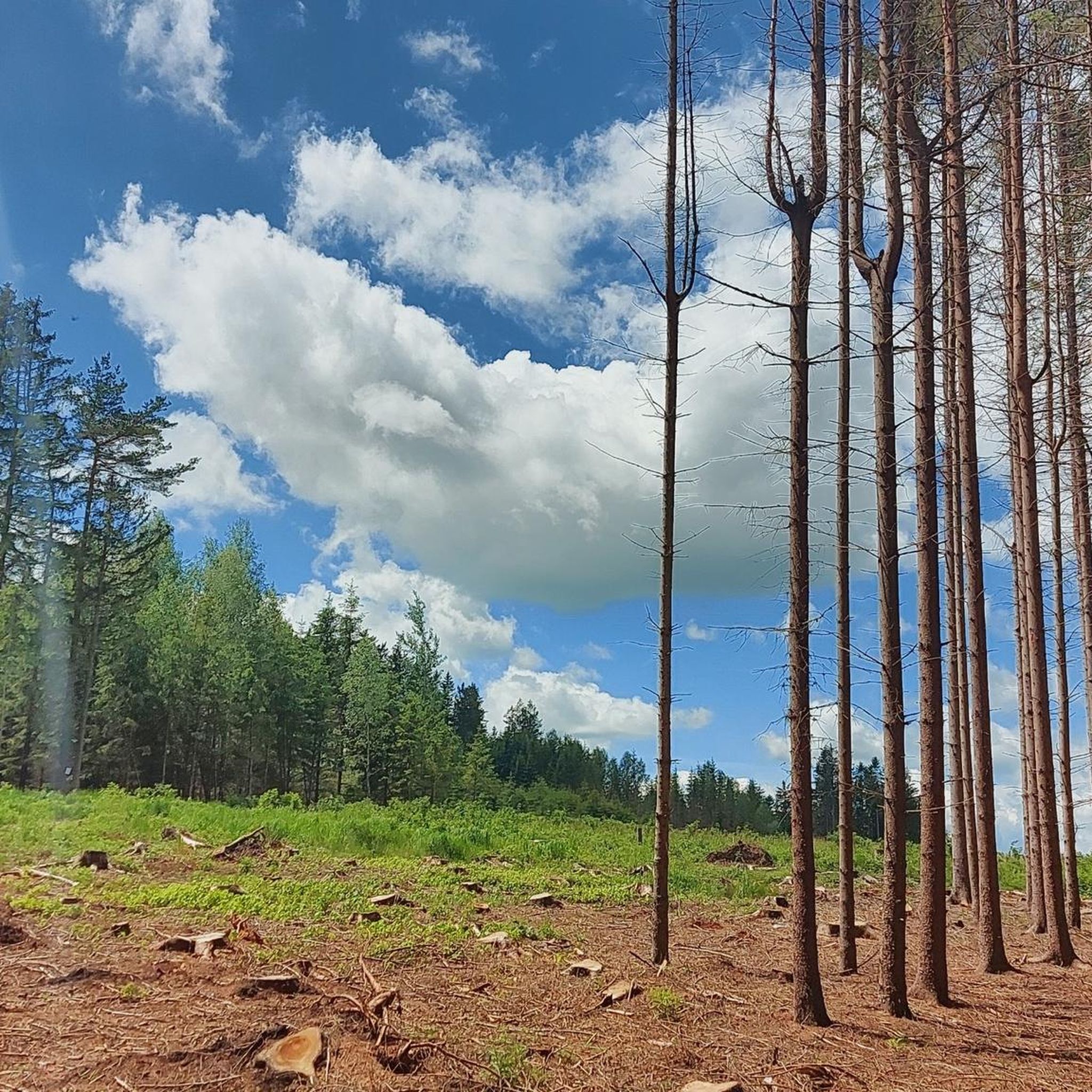
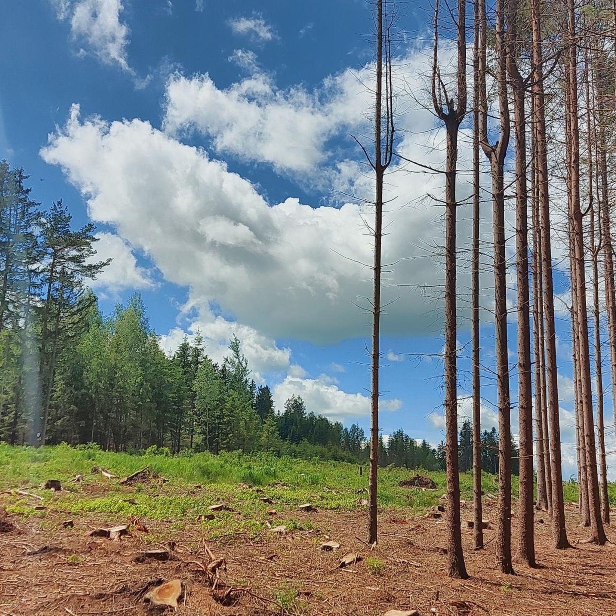
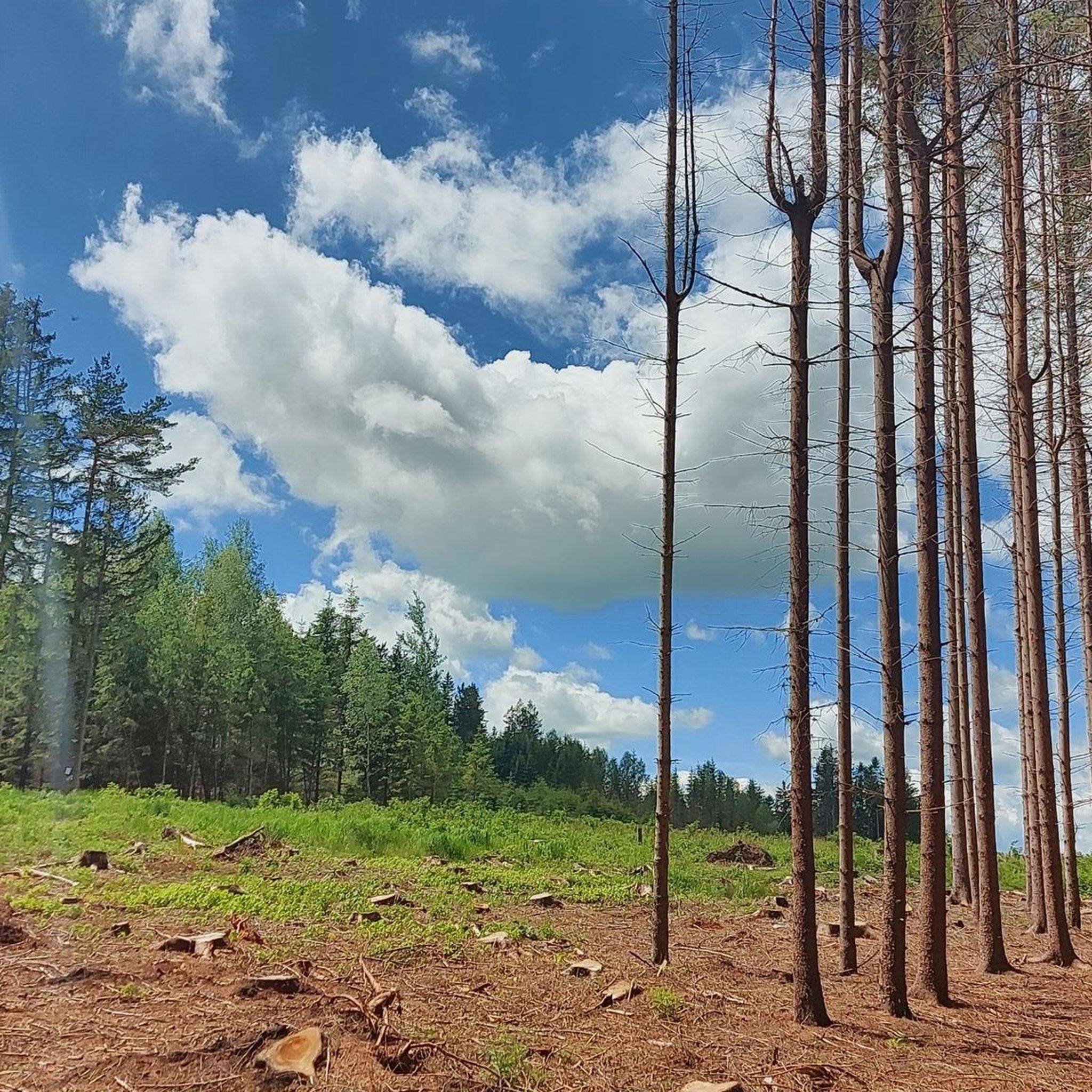
The Predigtstuhl is a popular destination for hikers and cyclists. At 718 meters, it is the highest point in the Waidhofen an der Thaya district. In the 1930s, there was an observation tower here, of which only a few anchor holes remain. The observation tower was popularly called the "Pyramid". I still remember when I was a child and my father said "Gemma auf Piramidn", everyone knew that the Predigtstuhl was meant. Whether anyone today still associates the term "Pyramid" with the Predigtstuhl, I dare to doubt. Small detours into the forest around the Predigtstuhl are definitely worthwhile. There are plenty of large and small rock formations to discover. A sign "View to the Dukovany Nuclear Power Plant" is still present, but the view of the nuclear power plant has probably been blocked by the tall trees for some years now. I tried a few times last year to find the view again, but failed (Dukovany is only 65 km from Waidhofen an der Thaya). In this spirit: "Gemma auf Piramidn!" Addendum May 2020: I fear that the Predigtstuhl will not look the way it does now for much longer. Several years ago, we were able to prevent it from being cleared to make way for wind turbines with signatures. Now the bark beetles are here - and no signature will help against them. The felling has already begun. I hope that at least the giant beeches will survive - the beeches that were already giant 60 years ago when I was still small!
5
0
Frequently Asked Questions
How many running routes can I find around Dietmanns?
There are over 60 dedicated running routes available in the Dietmanns area, catering to various preferences and fitness levels. These routes offer diverse experiences through the region's natural landscapes.
Are there any easy jogging routes suitable for beginners in Dietmanns?
Yes, Dietmanns offers several easy jogging routes perfect for beginners or those looking for a relaxed run. There are 6 routes classified as 'easy', providing gentle gradients and scenic paths through the local countryside.
What kind of landscapes can I expect to see while jogging in Dietmanns?
Jogging in Dietmanns offers a blend of natural beauty. You'll primarily experience the expansive Iller Floodplains and the scenic River Iller, providing picturesque river landscapes and natural habitats. The terrain also features gentle hills and varied countryside.
Are there any circular running routes in Dietmanns?
Many of the running routes in Dietmanns are designed as loops, offering convenient circular paths. For example, the Löschteich loop from Windigsteig is a popular circular route, as is the Krotzbirschtn & Polishing Machine loop from Katastralgemeinde Vestepoppen.
What are some interesting sights or landmarks along the jogging trails?
While jogging, you might encounter several interesting features. The region is known for the Iller Floodplains and the River Iller itself. Notable landmarks include the Predigtstuhl Summit (718 m), which some routes ascend, and the historic Bründl Chapel and the Healing Spring. The area also features natural monuments like the Lower Hackelstein Rock Shelter.
Are there any longer running trails for more experienced runners?
Yes, for those seeking a longer challenge, Dietmanns has routes that extend further. The Löschteich loop from Windigsteig is a moderate 9.8 km (6.1 miles) trail, offering a good distance for experienced runners. There are also 3 routes classified as 'difficult' for those looking for more challenging terrain.
What do other runners say about the trails in Dietmanns?
The running routes in Dietmanns are highly regarded by the komoot community, boasting an average rating of 4.3 stars from over 10 reviews. More than 300 runners have explored the varied terrain, often praising the scenic river landscapes and the well-maintained paths.
Can I find trails with elevation changes for a more challenging workout?
Absolutely. While many routes feature gentle gradients, some trails offer more significant elevation changes. For instance, the Predigtstuhl Summit (718 m) – Satzling (618 m) loop from Dietmanns involves an ascent of nearly 188 meters, providing a good challenge for your run.
Are the running paths in Dietmanns suitable for families?
The natural landscapes and varied terrain in Dietmanns offer options that can be suitable for families. Many paths along the Iller, including those that utilize former railway lines, are noted for being easy to use and ideal for families, suggesting they would also be pleasant for a family jog or walk.
What is the typical length of running routes in Dietmanns?
The running routes in Dietmanns vary in length. Many popular routes, such as the Krotzbirschtn & Polishing Machine loop from Katastralgemeinde Vestepoppen, are around 8 km (5 miles). However, you can find shorter, easier paths and longer, more challenging trails up to 9.8 km (6.1 miles) or more.
Are there any historical features to discover while running?
Yes, the region around Dietmanns has some interesting historical elements. For example, a restored former railroad bridge in Illerbeuren, once part of the Memmingen-Legau line, now serves as a dedicated path for cyclists and pedestrians, making it an excellent historical route for joggers.
Are there any specific natural monuments to look out for?
Beyond the Iller Floodplains, you can find several natural monuments. The cliffs along the Iller are a notable natural monument, offering a visually interesting backdrop. Other highlights include the Paulstein Natural Monument and the Linden Avenue Between Speisendorf and Raabs an der Thaya.
Most popular attractions around Dietmanns

Get inspired with the komoot mobile app


Explore more
Browse the best Running Trails & Routes in other regions.
