The best mountain hikes around Raxendorf
5.0
(1)
21
hikers
3
hikes
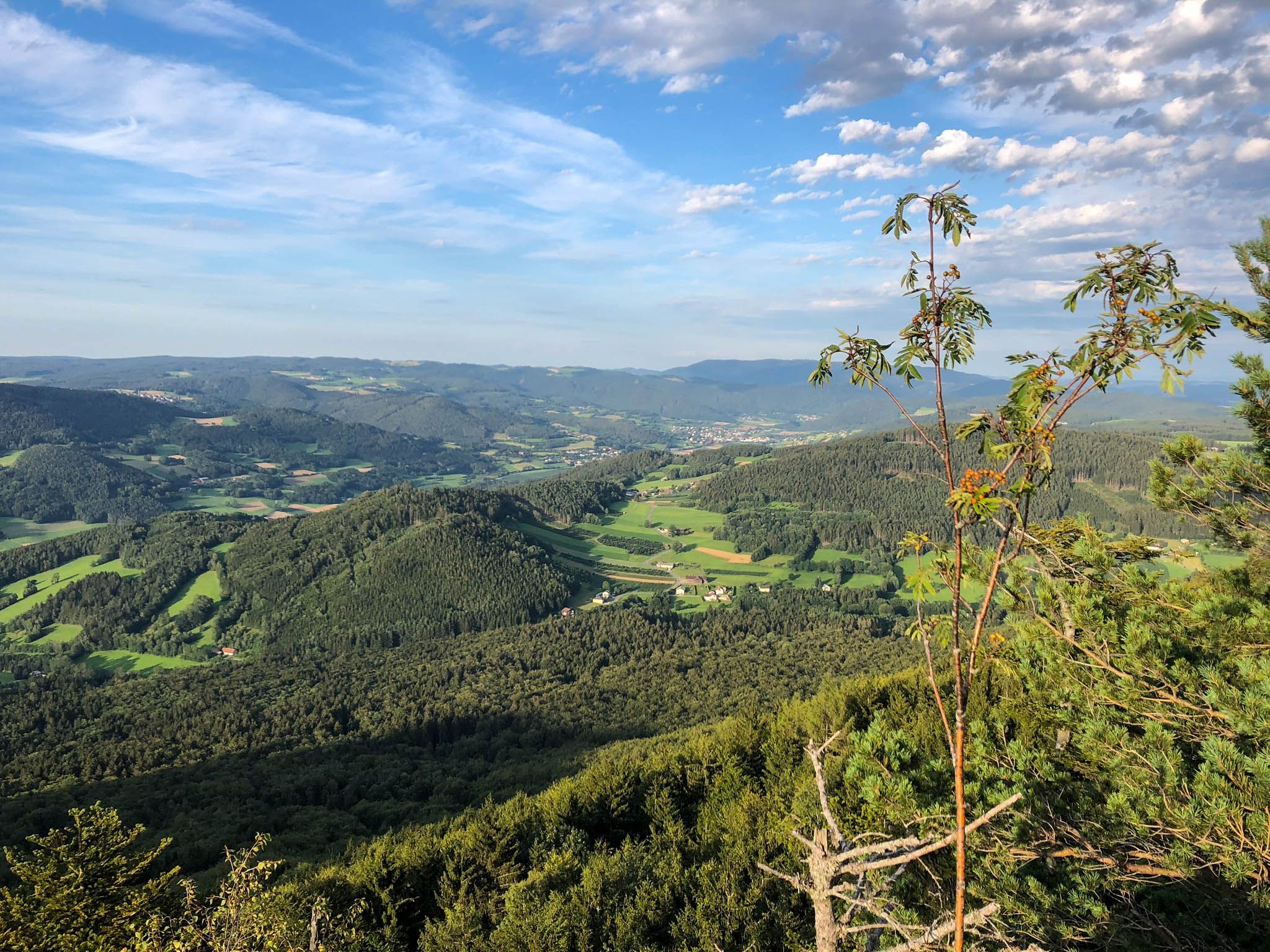
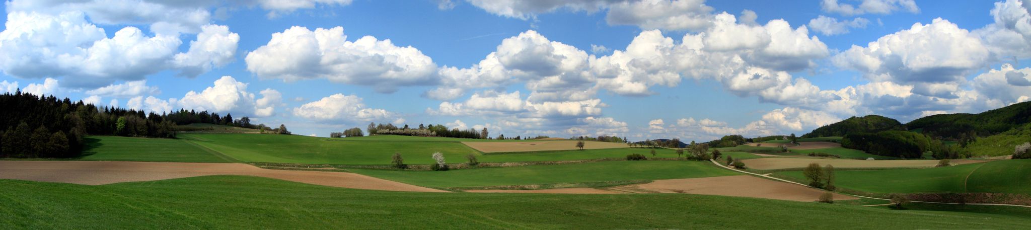
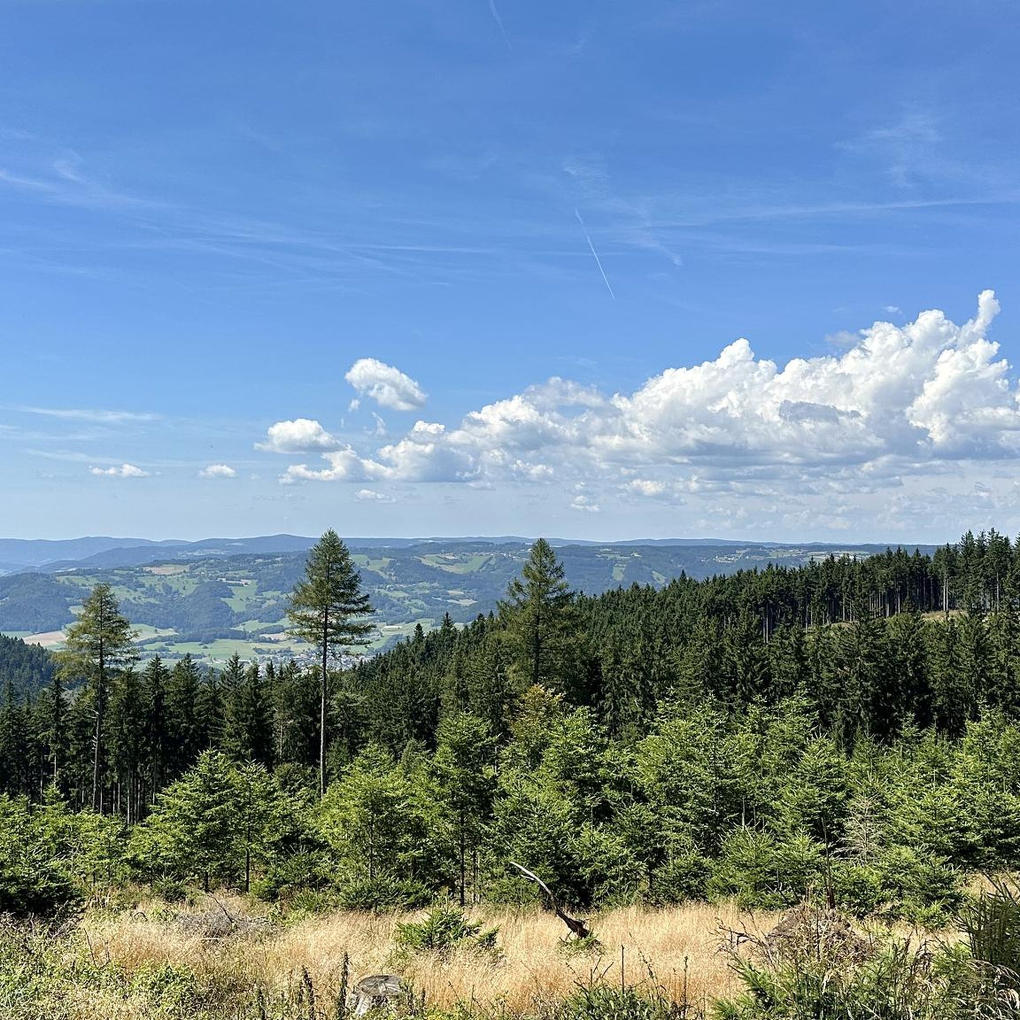
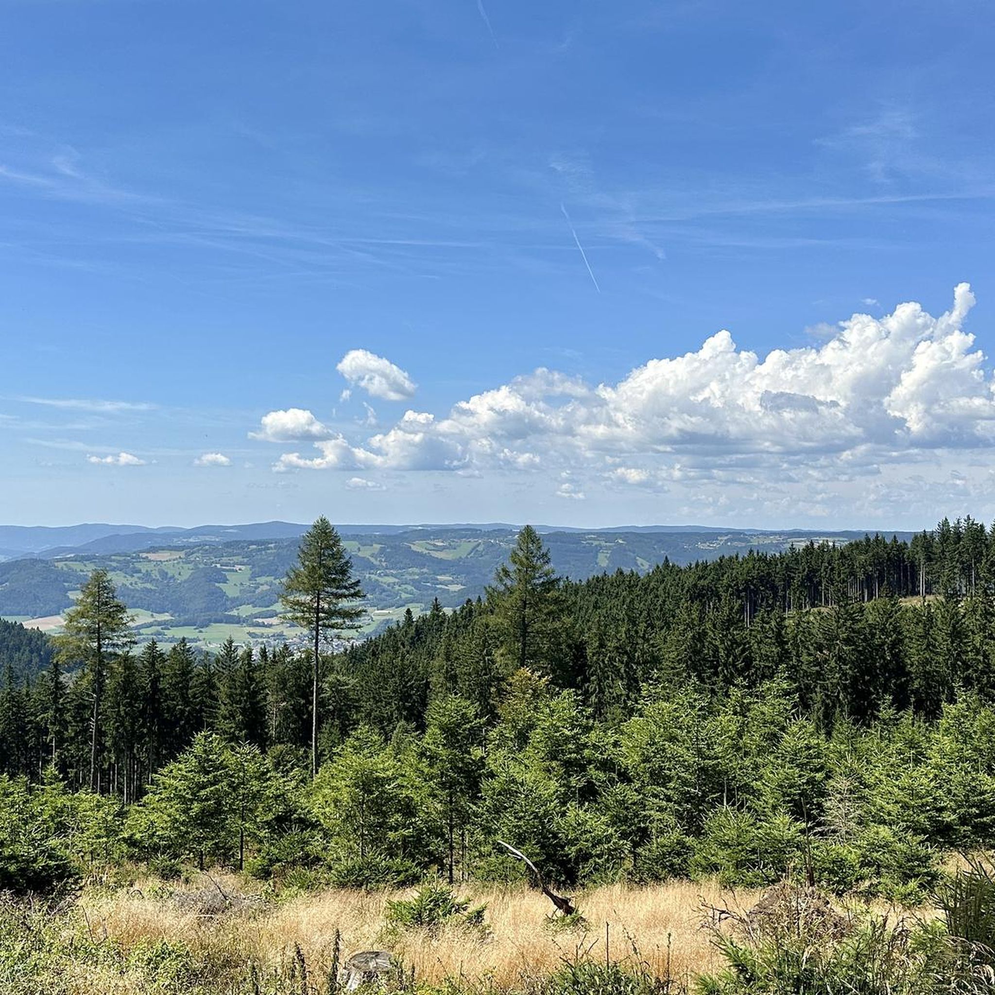
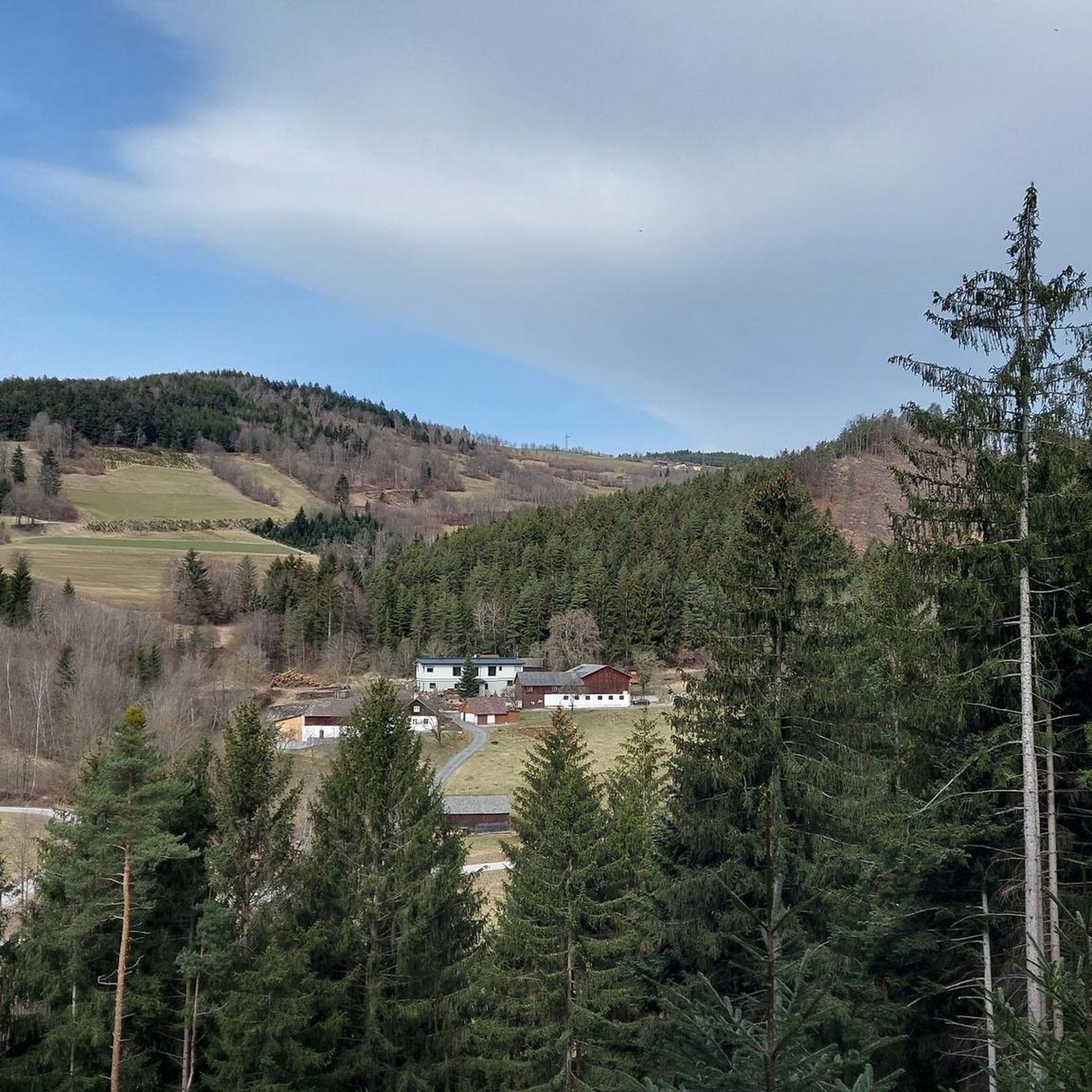
Mountaineering routes around Raxendorf are situated in the scenic district of Melk, Austria, characterized by a beautiful hilly landscape. The region lies between the western slope of the Jauerling mountain and the Waldviertel high plateau, with altitudes ranging from 450 to 850 meters above sea level. This topography provides diverse terrain for exploring, featuring undulating meadows and dense forests. While the area is known for moderate excursions, it offers challenging paths for mountaineers.
Best mountaineering routes around Raxendorf
- The most…
Last updated: November 1, 2026
8
hikers
6.11km
02:41
520m
520m
Hard mountaineering route. Good fitness required. Sure-footedness, sturdy shoes and alpine experience required.
7
hikers
Hard mountaineering route. Very good fitness required. Mostly walkable paths. Sure-footedness required.

4
hikers
8.44km
03:10
480m
480m
Moderate mountaineering route. Good fitness required. Mostly walkable paths. Sure-footedness required.
5.0
(1)
2
hikers
Moderate mountaineering route. Good fitness required. Easily walkable paths.
Our route recommendations are based on thousands of hikes, rides, and runs completed by other people on komoot.
Start today with a free account
Your next adventure awaits.
Popular around Raxendorf




Tips from the Community

A nice place with many beautiful old houses, but also some less beautiful prestige buildings from winemakers.
0
0
beautiful view of the Danube valley and the Dunkelsteiner Wald
0
0
Beautiful view over the Danube valley
0
0

We're off to Spitz, right in the heart of the Wachau. This charming town is the ideal starting point for a fine hiking tour through vineyards, historic alleys, and along the beautiful Danube. Our path leads first up to the Tausendeimerberg, which is located right in the town. From there, you have a magnificent view over Spitz, the Danube, and the surrounding vineyards. Especially in autumn, when the leaves change color, the landscape is simply splendid. We continue past old wine-growing estates, the Rotes Tor, and the Gothic town hall. The late Gothic church from the 15th century and the castle of Spitz also tell of the town's long history. Anyone with a little extra time should stop by the Hinterhaus ruins; the ascent is rewarded with a wonderful panoramic view. Back in town, the Danube promenade invites you for a leisurely stroll. By the ferry to Arnsdorf, you can also marvel at the special Camera obscura by Olafur Eliasson. After the hike, there is nothing better than stopping at a cozy Heuriger. With a glass of Wachau wine and a tasty snack, the day ends in a very relaxed way in Spitz.
1
0
interesting church building with a kink
0
0

The Parish Church of Spitz, dedicated to Saint Mauritius, is a significant religious and cultural landmark of the region. This impressive church invites visitors to discover its magnificent architecture and rich history. Dedicated to Saint Mauritius, the Parish Church radiates an atmosphere of tranquility and spirituality, that has impressed visitors for centuries.
0
0
The war memorial in Spitz an der Donau commemorates the victims of the two World Wars, features a sculpture by artist Paul Paintl, and was renovated by the Österreichischer Kameradschaftsbund.
0
0
In 1163, a Romanesque wooden chapel stood in the village, dedicated to the patron saint of the Niederalteich monastery. The present-day church is a significant work of late Gothic architecture and rises with its mighty west tower in today's Kirchenplatz.
0
0
Frequently Asked Questions
What kind of terrain can I expect on mountaineering routes around Raxendorf?
The Raxendorf region is characterized by a beautiful hilly landscape, situated between the western slope of the Jauerling mountain and the Waldviertel high plateau. You'll find diverse terrain, including undulating meadows and dense forests, offering a mix of moderate and challenging paths.
Are there mountaineering routes suitable for beginners or those seeking an easier experience?
While the area offers challenging paths, there are also moderate options. For a route with a moderate difficulty, consider the Red Gate – Spitz on the Danube loop from Spitz, which is 8.4 km long and takes about 3 hours 10 minutes through forested hills. Another moderate option is the View of Spitz on the Danube – View of Maria Langegg loop from Schönbühel-Aggsbach, covering 14.8 km.
Which routes offer the most challenging mountaineering experiences in Raxendorf?
For a more challenging experience, the Sonnstein loop from Rossatz-Arnsdorf is a difficult 6.1 km trail with significant elevation gain, typically taking around 2 hours 39 minutes. Another demanding option is the Parish church of St. Mauritius – Jauerling Observation Tower loop from Spitz a.d. Donau, a difficult 19.0 km path that ascends towards the Jauerling mountain.
Are there any circular mountaineering routes in the Raxendorf area?
Yes, several routes are designed as loops. The Sonnstein loop from Rossatz-Arnsdorf is a popular circular option. Another is the Parish church of St. Mauritius – Jauerling Observation Tower loop from Spitz a.d. Donau, offering expansive views. For a moderate circular route, try the Red Gate – Spitz on the Danube loop from Spitz.
What scenic viewpoints can I find along the mountaineering routes?
The region offers several rewarding viewpoints. The Jauerling Observation Tower, accessible via routes like the Parish church of St. Mauritius – Jauerling Observation Tower loop from Spitz a.d. Donau, provides expansive views over the landscape. Additionally, the barrier-free viewing platform in Braunegg, located at 911 meters above sea level, offers magnificent panoramic vistas, extending as far as Schneeberg.
Are there any nearby attractions or natural features to explore besides the mountaineering routes?
Yes, the Raxendorf area boasts several natural attractions. You can find beautiful lakes such as the Upper Village Pond, Lake Edlesberger, and Himmelteich. For those interested in peaks, the High Rock and Tausendeimerberg are notable. After your hike, the idyllic natural bathing pond in Raxendorf offers a refreshing dip.
What do other mountaineers say about the routes in Raxendorf?
The mountaineering routes in Raxendorf are highly rated by the komoot community, with an average score of 5.0 stars from reviews. Users often praise the varied terrain, from undulating meadows to dense forests, and the rewarding views from elevated points like the Jauerling Observation Tower.
Is Raxendorf suitable for winter mountaineering?
While Raxendorf is primarily known for its tranquil natural setting and offers excellent opportunities for hiking and mountain biking through its hilly and forested terrain, specific recommendations for technical winter mountaineering are not highlighted. The focus is generally on leisurely to moderate exploration of its beautiful landscapes.
Are there options for public transport to reach the mountaineering routes?
The provided information focuses on the routes themselves and the general region. For specific public transport options to trailheads around Raxendorf, it's advisable to check local transport schedules and connections to towns like Spitz a.d. Donau or Rossatz-Arnsdorf, which are starting points for some routes.
Are the mountaineering routes around Raxendorf dog-friendly?
The natural, forested, and hilly landscape of Raxendorf generally lends itself well to walks with dogs. However, it's always recommended to check specific route regulations or local signage for any restrictions regarding dogs, especially in nature reserves or protected areas, and to keep dogs on a leash where required.
What is the best time of year to go mountaineering in Raxendorf?
The region's beautiful hilly landscape and forests are enjoyable across multiple seasons. Spring and autumn offer pleasant temperatures and vibrant scenery, while summer provides lush greenery. Given the emphasis on moderate excursions, these seasons are generally ideal for exploring the trails.
Most popular routes around Raxendorf
Most popular attractions around Raxendorf

Get inspired with the komoot mobile app


Explore more
Browse the best Mountain Hikes & Routes in other regions.
