The best walks and hikes around Drayton
4.2
(221)
1,353
hikers
183
hikes
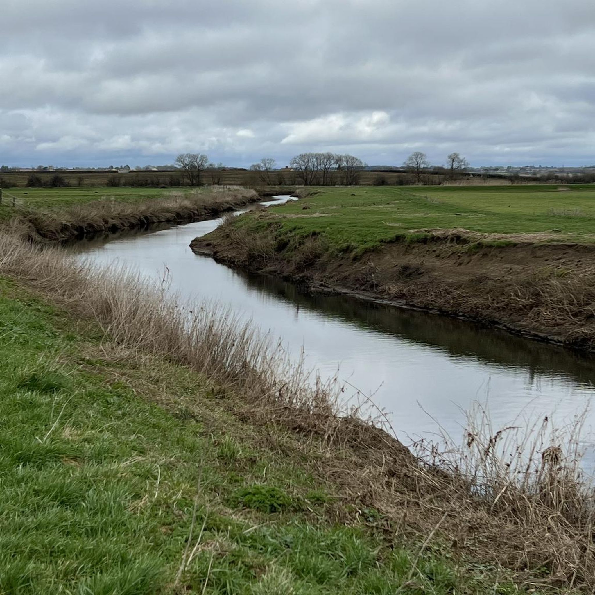
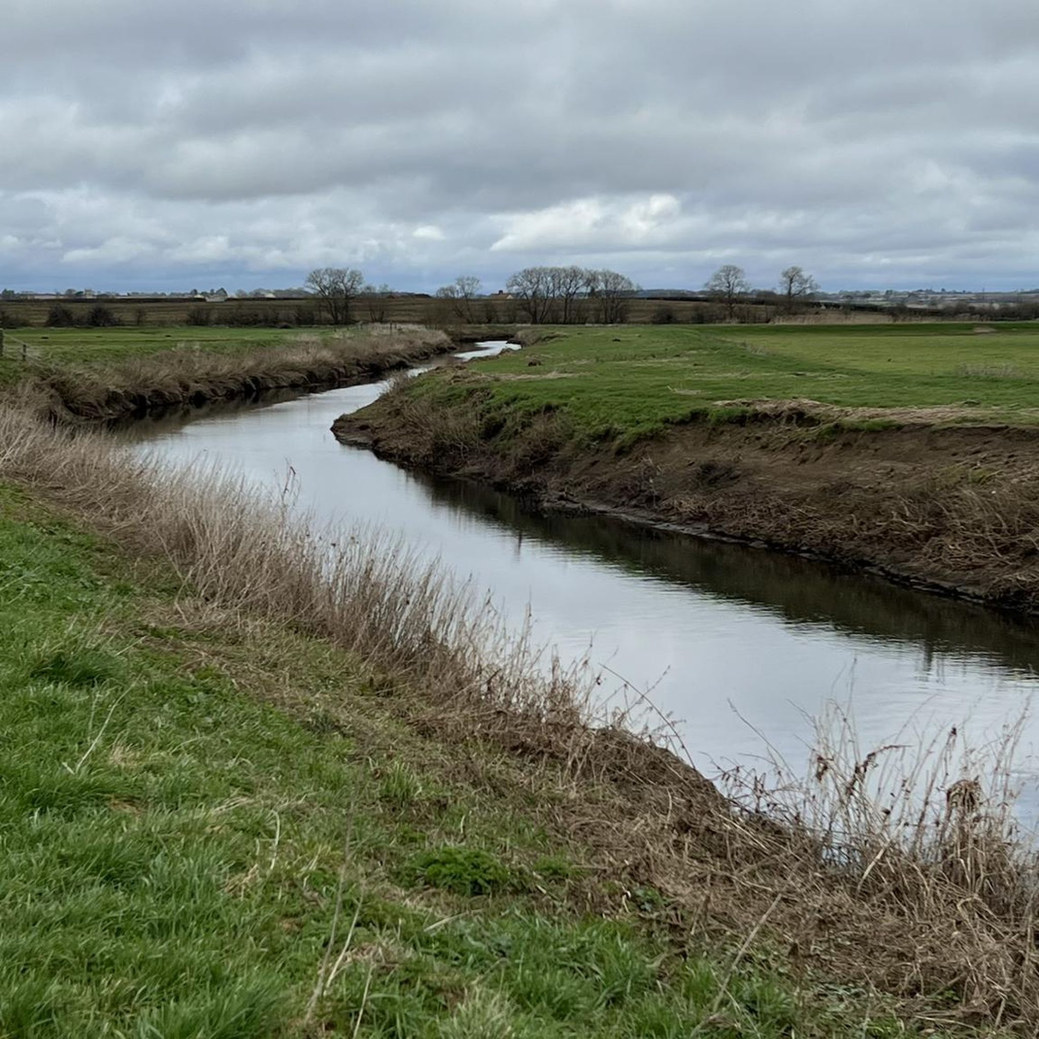
Hikes around Drayton explore the low-lying, rural landscape of the Somerset Levels. The region is characterized by flat terrain, riverbanks, and open fields, with routes often following public footpaths between small villages. The minimal elevation gain makes this area suitable for easy hikes for families and walkers of all abilities.
Best hiking trails around Drayton
- The most popular hiking route is Muchelney Abbey Ruins loop from Muchelney, a 3.8 mile (6.1 km) trail that takes about 1 hour 30…
Last updated: August 6, 2026
4.8
(13)
110
hikers
6.40km
01:37
10m
10m
Easy hike. Great for any fitness level. Easily-accessible paths. Suitable for all skill levels.
4.6
(10)
24
hikers
Moderate hike. Good fitness required. Easily-accessible paths. Suitable for all skill levels.

Sign up for free
5.0
(1)
26
hikers
5.81km
01:28
10m
10m
Easy hike. Great for any fitness level. Easily-accessible paths. Suitable for all skill levels.
4.8
(5)
8
hikers
5.95km
01:34
60m
60m
Easy hike. Great for any fitness level. Easily-accessible paths. Suitable for all skill levels.
7
hikers
6.55km
01:39
10m
10m
Easy hike. Great for any fitness level. Easily-accessible paths. Suitable for all skill levels.
Get access to more routes and recommendations from other explorers.
Sign up for free
Already have an account?
Our route recommendations are based on thousands of hikes, rides, and runs completed by other people on komoot.
Start today with a free account
Your next adventure awaits.
Login or Signup

Tips from the Community

Great breakfast and coffee.
0
0

Southmoor Pumping Station is a historic pumping station located in Somerset, England, primarily designed for land drainage. It is part of the complex network of pumping stations and drainage systems that manage water levels in the Somerset Levels, an area prone to flooding due to its low-lying position.
0
0


Be patient at busy times.
0
0

can get busy but plenty of seats inside and out lovely walk or ride along the river
0
0

Beautiful Mill with the river flowing down towards Thorney. As you look towards Thorney bridge, you can see the large turning area where the boats carrying their goods would turnabout
0
0

Closed due to pumping, bridge fenced off
2
0

Pontoons and stretch of river bank for picnics near the town
2
0
Frequently Asked Questions
Are the hiking trails around Drayton suitable for families and children?
Yes, the region is ideal for family outings. The landscape is predominantly flat, with minimal elevation gain, making it very accessible for walkers of all ages. There are over 130 easy routes to choose from, many of which are short and follow quiet country lanes or riverside paths.
Can I bring my dog on the trails near Drayton?
Most trails in the area are dog-friendly, but it's important to be mindful of the local environment. You'll be walking through the Somerset Levels, which often includes farmland with livestock. Always keep your dog on a lead, especially near sheep and cattle, and be sure to follow the Countryside Code.
Are there any challenging or hilly hikes in the area?
The Drayton area is primarily known for its flat, low-lying landscape, so you won't find steep hills or mountains. Most routes are easy or moderate. For a bit more of a challenge in terms of distance, you could try the Kitchen at the Wharf – The Pump That Saved Langport loop from Muchelney, which is a longer walk at 9.3 miles (15 km).
What is the scenery like on the hikes around Drayton?
The scenery is classic Somerset Levels. Expect expansive, flat landscapes, open fields, and wetlands. Many routes follow the banks of the River Parrett, offering peaceful waterside views. You'll also pass through historic villages and see landmarks like the Burton Pynsent Monument.
How many hiking trails are available around Drayton?
There is a wide selection of routes to explore, with nearly 200 trails available on komoot. The vast majority of these are rated as easy, with a good number of moderate options and a handful of more difficult trails based on length.
Are there many circular walks available?
Yes, loop trails are very common in this area, making logistics simple as you'll end up back where you started. Many routes are designed as circular walks that explore the countryside around villages like Muchelney and Curry Rivel. The Muchelney Abbey Ruins loop from Muchelney is a popular example of an easy circular walk.
What do other hikers think of the trails in Drayton?
The trails around Drayton are well-regarded by the komoot community, holding a high average rating. Reviewers often praise the peaceful atmosphere, the easy-to-follow paths across the flat terrain, and the lovely riverside sections.
What should I pack for a day hike in Drayton?
Even on easy trails, it's wise to wear sturdy, comfortable walking shoes. The ground can be muddy, especially after rain, so waterproof footwear is recommended. Also, bring water, snacks, and a waterproof jacket, as the weather can change quickly in the open landscape.
Are the trails accessible by public transport?
Accessing trailheads directly via public transport can be challenging as the area is very rural. Bus services connect the larger villages, but they may be infrequent. Most visitors find it easiest to travel by car to a village like Muchelney or Curry Rivel to start their walk.
Where can I find a short, easy walk?
For a straightforward and pleasant walk, consider the Kitchen at the Wharf loop from Muchelney. It's a 3.6-mile (5.8 km) loop with almost no elevation change, making it perfect for a quick and relaxing outing.
What are the trail conditions like in winter?
Hiking is possible year-round, but be prepared for wet and muddy conditions in winter. The Somerset Levels are prone to waterlogging, and some low-lying paths, particularly near the river, can become flooded. Waterproof boots are essential during the wetter months.
Most popular attractions around Drayton

Get inspired with the komoot mobile app


Explore more
Browse the best Hikes in other regions.
