The best running trails around Tilford
4.4
(255)
15,206
runners
769
runs
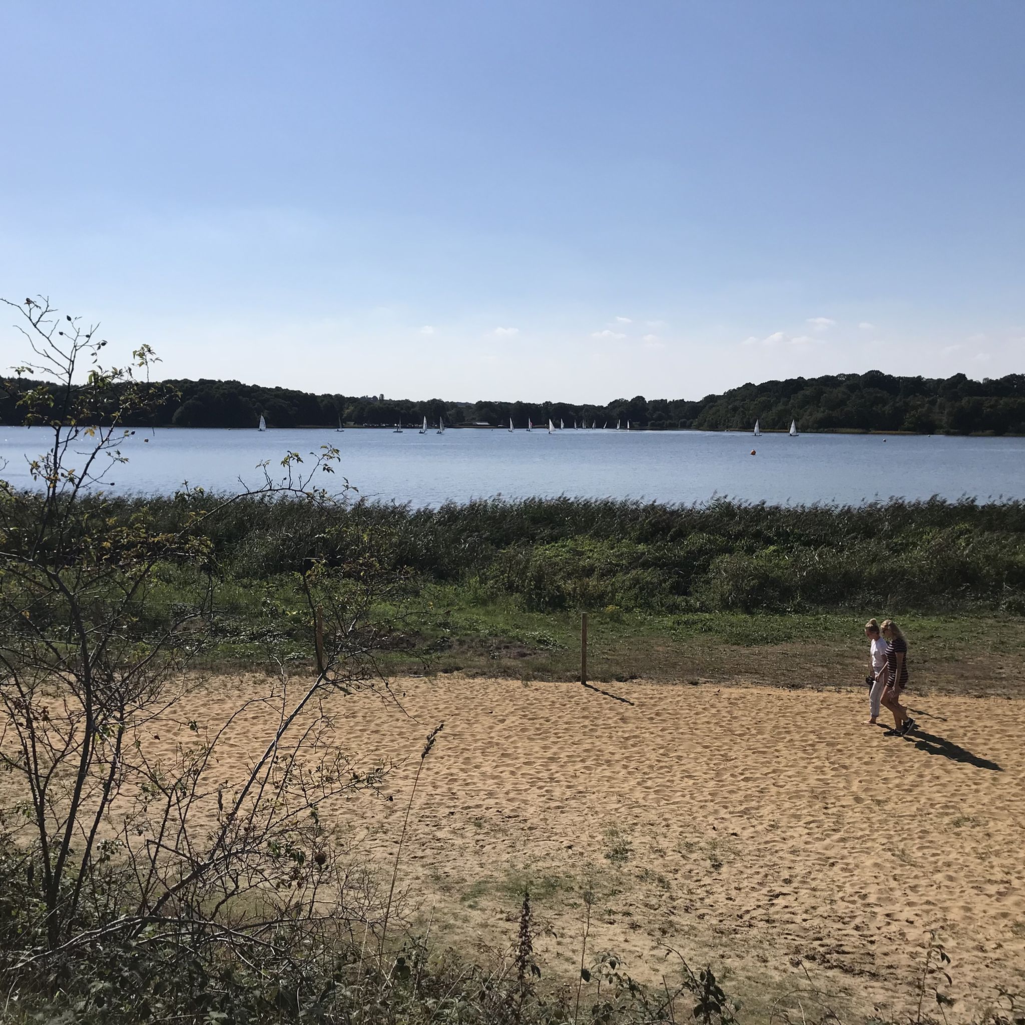
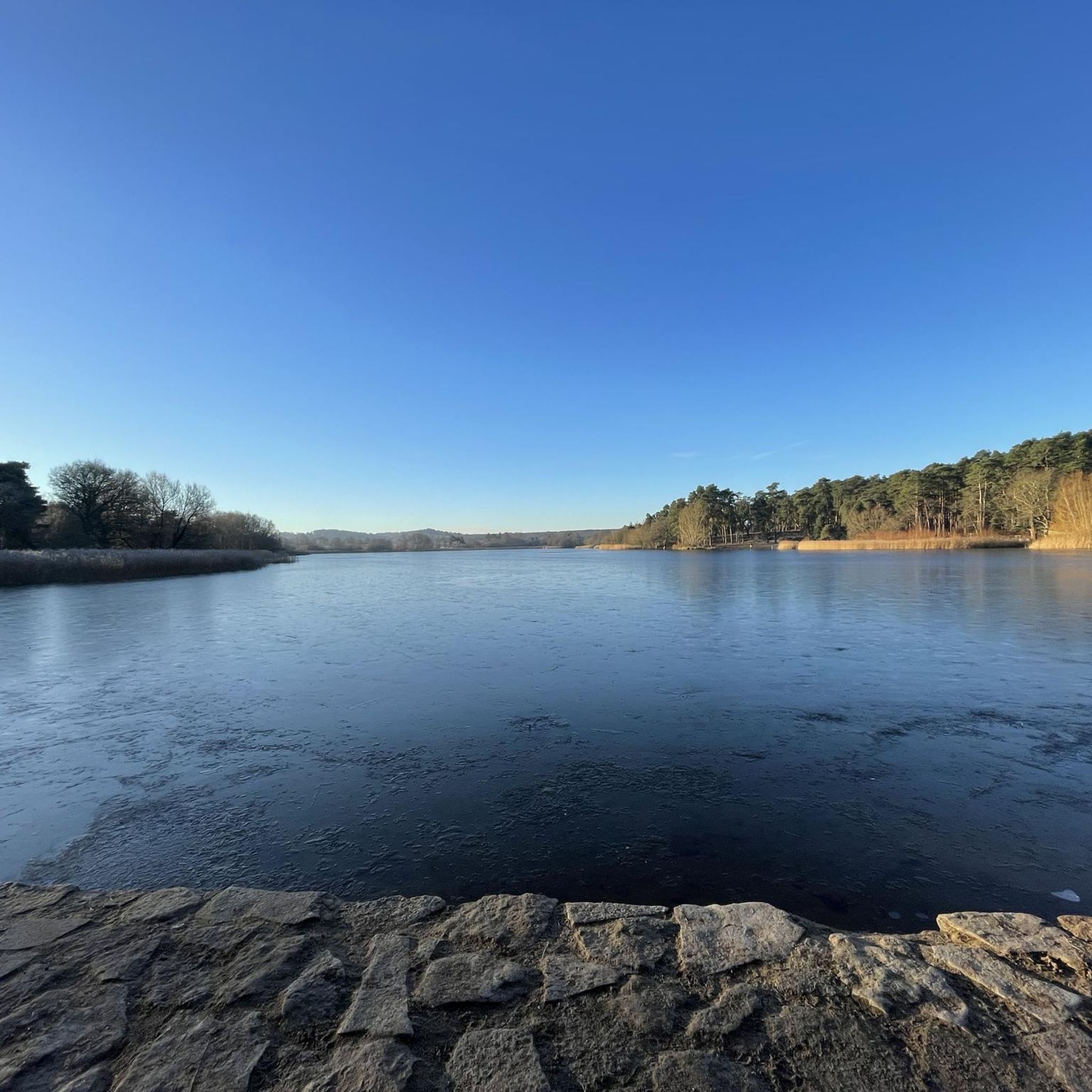
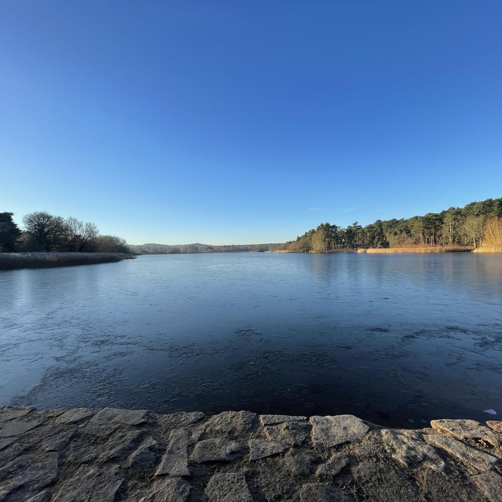
Jogging around Tilford offers a diverse landscape for runners, characterized by its idyllic countryside, accessible paths, and varying elevations. The region features notable natural areas like Frensham Little Pond, providing scenic routes. Runners can find trails ranging from gentle, mostly paved surfaces to more demanding paths through hills, all set within the picturesque Surrey Hills.
Best jogging routes around Tilford
- The most popular jogging route is Frensham Little Pond loop — Surrey Hills, a 1.9 miles (3.1 km) trail…
Last updated: October 4, 2026
24
runners
3.05km
00:19
20m
20m
Easy run. Great for any fitness level. Mostly paved surfaces. Suitable for all skill levels.
5.0
(1)
159
runners
7.83km
00:56
70m
70m
Moderate run. Good fitness required. Mostly paved surfaces. Suitable for all skill levels.

4.0
(2)
107
runners
42.5km
04:59
540m
540m
Hard run. Very good fitness required. Mostly accessible paths. Some sure footedness required.
76
runners
19.3km
02:17
250m
250m
Hard run. Very good fitness required. Mostly paved surfaces. Suitable for all skill levels.
25
runners
6.86km
00:49
50m
50m
Moderate run. Good fitness required. Mostly paved surfaces. Suitable for all skill levels.
Get access to more routes and recommendations from other explorers.
Already have an account?
Our route recommendations are based on thousands of hikes, rides, and runs completed by other people on komoot.
Start today with a free account
Your next adventure awaits.

Other adventures around Tilford

Tips from the Community

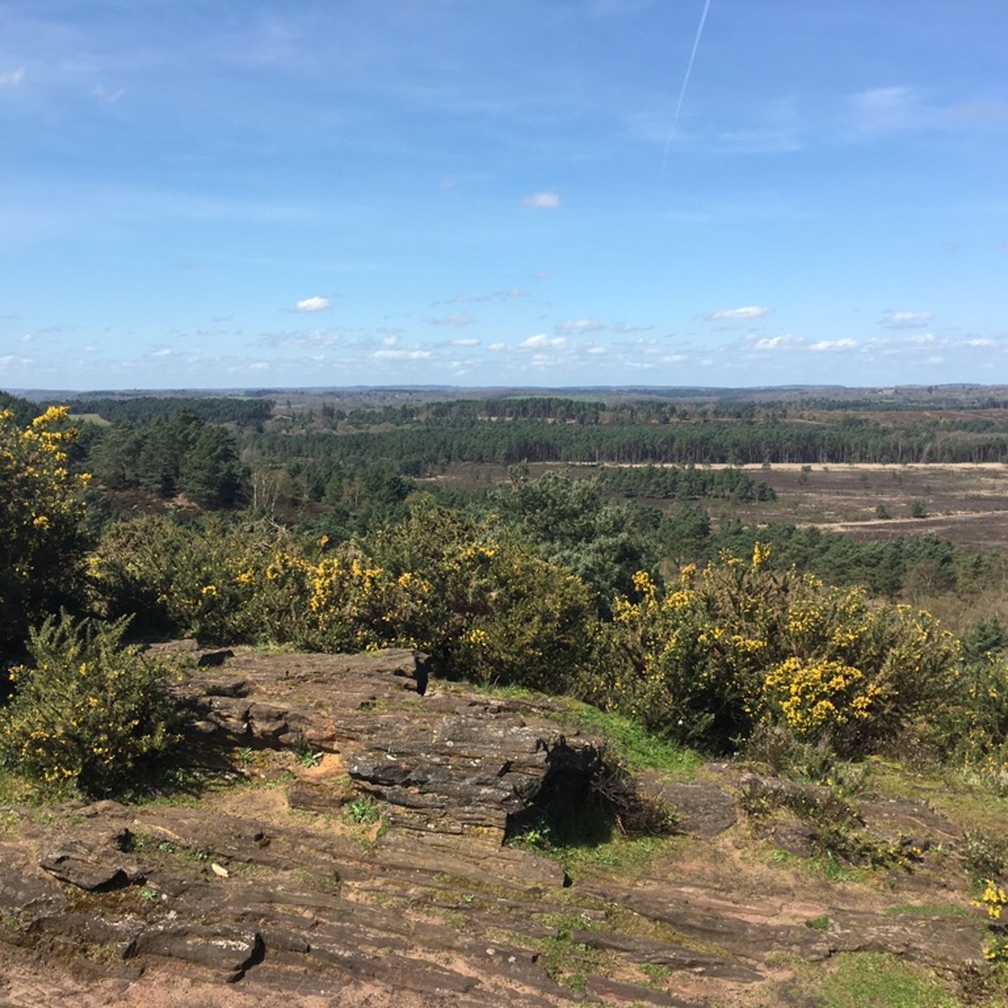
Sitting above Guildford, Pewley Down offers some of the most open views around.
0
0

Be aware of foxglove, there is a lot of it in this area. Foxglove (Digitalis purpurea) is a beautiful and common plant, often found in gardens and woodlands. However, despite its charm, it is highly poisonous and poses significant dangers to humans and animals if ingested. Here's a breakdown of the dangers: 1. Highly Toxic Components: * All parts of the foxglove plant – including the leaves, stems, flowers, and seeds – contain potent cardiac glycosides, such as digitoxin and digitalis. These compounds directly affect the heart. 2. Impact on the Heart: * The primary danger of foxglove poisoning lies in its effect on the cardiovascular system. The cardiac glycosides can disrupt the heart's electrical and muscular functions, leading to: * Irregular or slow heartbeat (bradycardia or arrhythmias): This is a hallmark symptom and can be life-threatening. * Increased strength of heart contractions: While this is the basis for its use in regulated heart medications (like digoxin), an uncontrolled dose can be extremely dangerous. * Low blood pressure (shock): In severe cases, the heart may become unable to pump effectively, leading to collapse. 3. Other Symptoms of Poisoning: Beyond cardiac effects, foxglove poisoning can manifest with a range of other symptoms, including: * Gastrointestinal issues: Nausea, vomiting, diarrhoea, abdominal pain, loss of appetite. * Neurological effects: Headache, lethargy, confusion, disorientation, hallucinations (including seeing halos around objects, often yellow, green, or white), dizziness, tremors, stupor, seizures. * Visual disturbances: Blurred vision. * Skin irritation: Contact with the sap can cause skin irritation or rash, which may last for weeks. 4. How Poisoning Occurs: * Ingestion: The most common way poisoning occurs is by eating any part of the plant. This can happen accidentally, especially if leaves are mistaken for edible plants like comfrey. Sucking on the flowers or eating seeds can also lead to poisoning. * Contaminated Water: The toxins can leach into water, so even drinking water from a vase containing foxgloves can be a hazard, particularly for pets. * Handling: While less common for severe poisoning, toxins can be absorbed through the skin, especially if there are open cuts, or transferred to the mouth and eyes after handling the plant. It's always advisable to wear gloves when handling foxglove and wash your hands thoroughly afterwards. * Misidentification: Deaths have occurred when foxglove was mistakenly harvested and consumed as an herbal remedy or food ingredient. 5. Severity and Outlook: * The severity of poisoning depends on the amount of plant ingested and how quickly medical attention is sought. * Symptoms can develop within minutes to hours. * While poisonings are rare, they can be severe and may require hospitalisation for 1 to 3 days. * In extreme cases, foxglove poisoning can be fatal due to refractory ventricular fibrillation or cardiac arrest. Important Note: If you suspect anyone (human or animal) has ingested foxglove, seek immediate medical help or contact poison control. Do NOT induce vomiting unless instructed to do so by a medical professional.
0
0

Alice Holt Forest is an area of predominantly coniferous woodland. There is a selection of cycle and walking trails as well as a café. It's all managed by Forestry England.
0
0

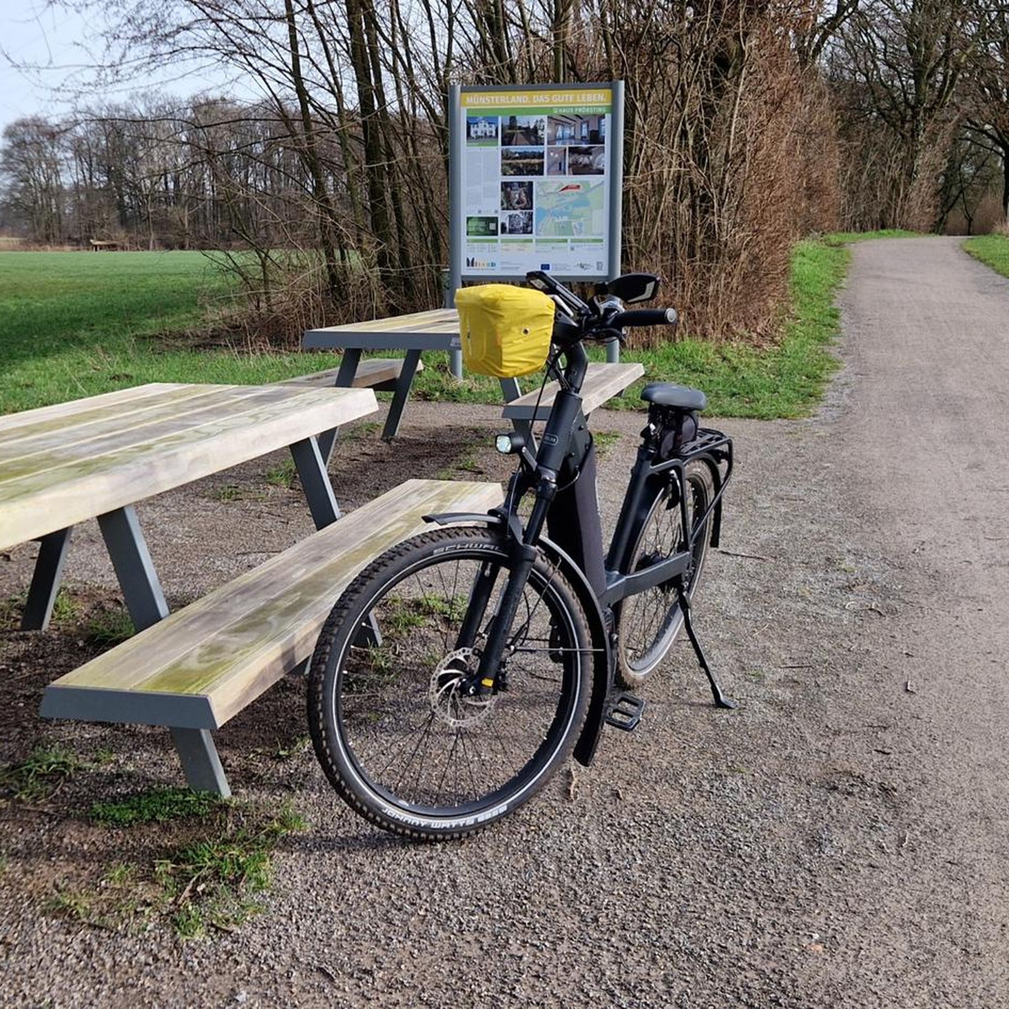
A resting place for weary legs, or those looking just to sit, relax and watch the world go by.
0
0
In case you're looking for a picnic spot, or just a place to sit and enjoy the peace and quiet of this restored heathland.
0
0
This is a bi-directional gate - please make sure to keep it closed after you've used it!
0
0
This advice isn't just for this particular place in Farnham Heath but across the whole area. There are many ground nesting birds in the region, which is why it's important to keep your dog under control on a leash at all times. Other areas of the Surrey Hills are fine to let your pooch run free, but please follow the advice here and in any other areas where you are encouraged to do so.
0
0
This is a bi-directional gate into the nature reserve. Due to cattle grazing in this area, please make sure to keep this gate closed, and dogs on a leash at all times due to ground nesting birds.
0
0
Frequently Asked Questions
How many running routes are available around Tilford?
Tilford offers a wide selection of over 700 running routes. These include 85 easy routes, 547 moderate routes, and 116 difficult routes, ensuring options for every fitness level and preference.
What kind of terrain can I expect on jogging trails in Tilford?
The terrain around Tilford is quite varied. You'll find everything from mostly paved surfaces, ideal for a comfortable jog around areas like Frensham Little Pond, to more natural, challenging paths with significant elevation gains, particularly around hills such as Crooksbury Hill. The general countryside offers a mix of accessible paths and varying elevations.
Are there any easy running routes suitable for beginners or a relaxed jog?
Yes, Tilford has plenty of easy options. A popular choice is the Frensham Little Pond loop — Surrey Hills, which is 1.9 miles (3.1 km) and mostly paved, offering a comfortable and scenic experience. There are 85 easy routes in total to explore.
Are there any challenging running routes for experienced runners?
Absolutely. For those seeking a more demanding run, routes like St Martha's Church – Pewley Down Viewpoint loop from Seale and Sands offer significant elevation gain over 42.5 km. The area also features routes with up to 330 feet of elevation gain, requiring good fitness and sure-footedness on some paths.
What natural features or landmarks can I see while running in Tilford?
While jogging in Tilford, you can enjoy the serene beauty of Frensham Little Pond and the picturesque countryside. Other notable natural features include the Hydon's Ball Summit, the Devil's Punch Bowl Picnic Site, and the Thursley Common National Nature Reserve. You might also encounter viewpoints offering expansive vistas, such as the View of the Devil's Punchbowl.
Are there any circular running routes in Tilford?
Yes, many of the running routes in Tilford are circular, providing convenient starting and ending points. Examples include the The Tarn and Warren Pond loop from Seale and Sands, which is a 19.5 km trail, and the Frensham Little Pond Beach – River Wey Footbridge loop from Bourne Wood, a 15.9 km option.
What do other runners enjoy most about jogging in Tilford?
The running routes in Tilford are highly rated by the komoot community, with an average score of 4.3 stars from over 200 reviews. Runners frequently praise the idyllic countryside, the serene Frensham Little Pond, and the variety of accessible paths that cater to different ability levels. Over 13,000 runners have used komoot to explore the area's diverse terrain.
Are there any family-friendly running options in the Tilford area?
For families, the easier, mostly paved routes around Frensham Little Pond are ideal. These offer a comfortable and scenic environment suitable for all ages. The general countryside also features many accessible paths that can be enjoyed by families looking for a gentle jog or walk.
Are there places to explore near the running trails, such as cultural sites or other attractions?
Beyond the running trails, Tilford's surroundings offer several attractions. You could visit The Sculpture Park, the world's largest all-year sculpture exhibition, or Bird World, a 26-acre park with over 800 birds. For more adventure, Go Ape at Alice Holt Forest provides high ropes courses and walking routes.
What is the best time of year to go running in Tilford?
Tilford's picturesque countryside makes it enjoyable for running throughout the year. However, spring and autumn often offer the most pleasant temperatures and beautiful scenery with changing foliage. Summer is also popular, especially around water features like Frensham Little Pond, while winter runs can be invigorating, though some paths might require more sure-footedness.
Are there any running routes that include a pub or cafe nearby?
While specific routes with integrated pub stops aren't detailed in the provided data, Tilford village and nearby areas are known for their charming countryside, which often includes local pubs and cafes. Many routes will likely pass close to or end near establishments where you can refresh after your run.
What is the typical elevation gain on running routes in Tilford?
The elevation gain varies significantly across Tilford's routes. Easy routes, such as the Frensham Little Pond loop, have minimal elevation changes (around 15 meters). More challenging routes, like the Frensham Little Pond – Frensham Little Pond Beach loop from Seale and Sands, can feature moderate gains (around 155 meters), while difficult trails can involve over 500 meters of ascent.
Most popular routes around Tilford
Most popular attractions around Tilford

Get inspired with the komoot mobile app


Explore more
Browse the best Running Trails & Routes in other regions.
