The best road cycling routes around Unternberg
4.6
(146)
3,242
riders
53
rides
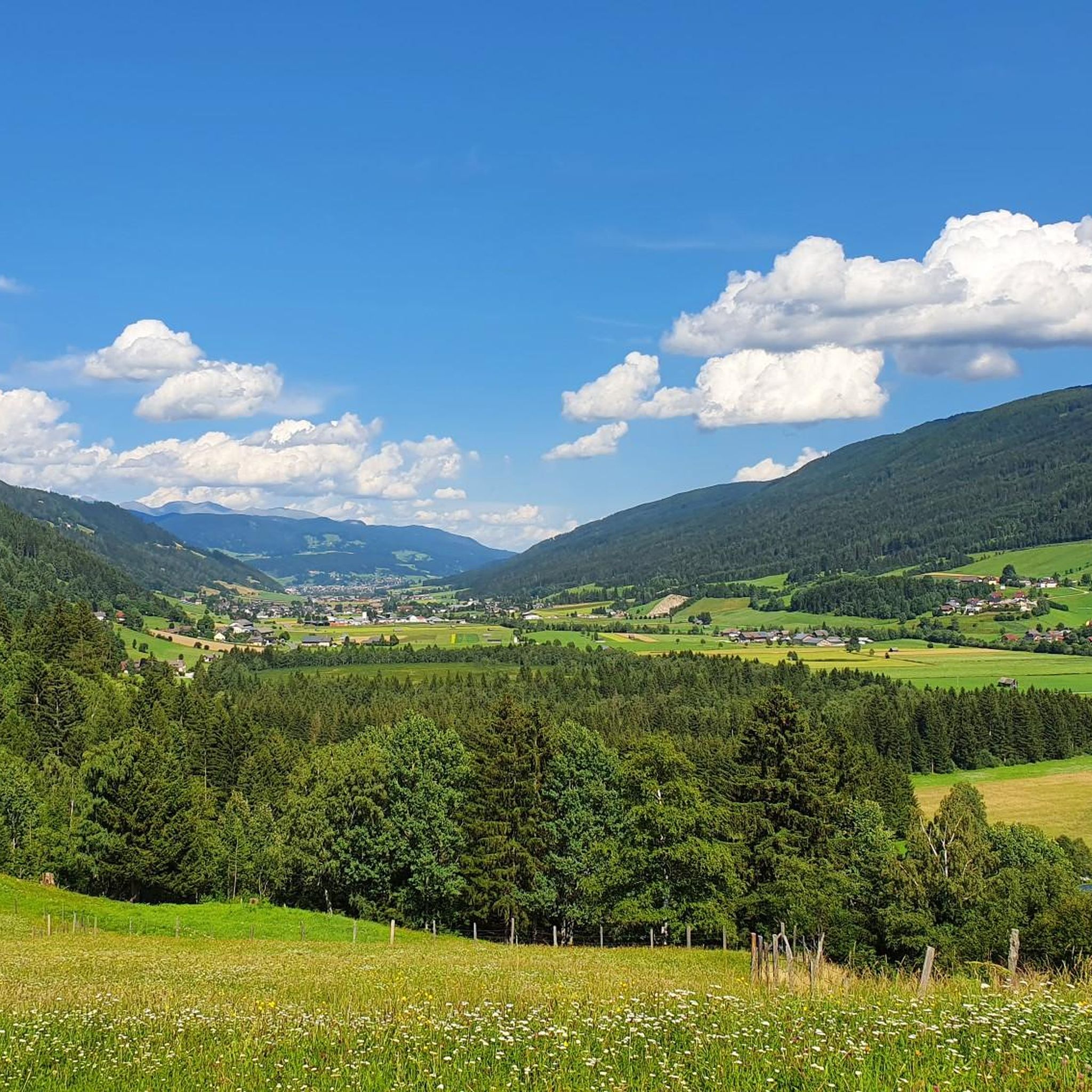
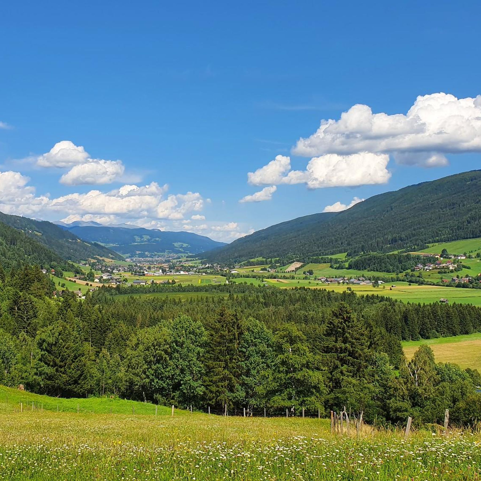
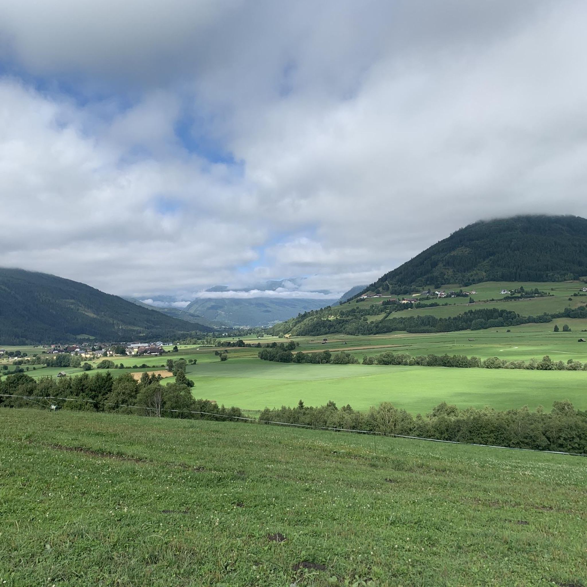
Road cycling routes around Unternberg traverse a landscape characterized by river valleys, such as those along the Murradweg, and ascents towards mountain passes and scenic lakes. The region features a mix of open countryside, forested sections, and historical sites like Moosham Castle. Road cyclists can expect varied terrain, from gentle gradients along waterways to more challenging climbs towards higher elevations and saddles.
Best road cycling routes around Unternberg
- The most popular road cycling route is Moosham Castle – Schönfeld Saddle…
Last updated: October 12, 2026
5.0
(2)
298
riders
114km
06:54
2,940m
2,940m
Hard road ride. Very good fitness required. Mostly well-paved surfaces and easy to ride.
5.0
(13)
193
riders
61.5km
03:08
950m
950m
Hard road ride. Very good fitness required. Some segments of this route may be unpaved and difficult to ride.

4.8
(8)
154
riders
100km
04:45
940m
940m
Hard road ride. Very good fitness required. Some segments of this route may be unpaved and difficult to ride.
3.3
(3)
106
riders
42.4km
02:21
240m
240m
Moderate road ride. Good fitness required. Some segments of this route may be unpaved and difficult to ride.
4.7
(6)
114
riders
34.1km
01:34
250m
250m
Easy road ride. Great for any fitness level. Mostly well-paved surfaces and easy to ride.
Get access to more routes and recommendations from other explorers.
Already have an account?
Our route recommendations are based on thousands of hikes, rides, and runs completed by other people on komoot.
Start today with a free account
Your next adventure awaits.
Tips from the Community

Mariensäule, Schillerplatz, Murau In the middle of Schillerplatz stands today the baroque votive group against the plague. In a pyramid-like rising composition, the front facing the church. The Mariensäule stands on a high pedestal on a hexagonal square bordered by a low, wrought-iron grille. On a round column stands the statue of St. Mary Immaculata. In the corners stand the six plague saints. The Mariensäule was not changed during the renovation work on Schillerplatz. However, the plague saints were re-erected and the wrought-iron grille was renovated. Text / Source: Murau, Raffaltplatz 10, 8850 Murau https://www.murau.gv.at/mariensaule.html
12
0

And for a certain fee, you can also get a guided tour during the day.
8
0
A beautifully nostalgic narrow-gauge railway that chugs along from Mauterndorf to St. Andrä.
1
0

Guided tour shows many well-furnished rooms
0
0

...when driving along the Nockalm Road, you should definitely take a detour here! 🥾☕️👀
1
0


Beautiful stress-free cycle path
0
0
Frequently Asked Questions
How many road cycling routes are available around Unternberg?
There are over 50 road cycling routes around Unternberg, offering a diverse range of experiences for cyclists of all levels. This includes 14 easy routes, 24 moderate routes, and 17 difficult routes.
Are there road cycling routes suitable for beginners in Unternberg?
Yes, Unternberg offers 14 easy road cycling routes. These often follow river valleys, providing gentler gradients. An example is the Tamsweg Market Square – Moosham Castle loop from Tamsweg, which is 34.1 miles (54.8 km) long with moderate elevation gain.
Where can I find challenging road bike climbs around Unternberg?
For experienced road cyclists seeking a challenge, Unternberg features 17 difficult routes with significant elevation gain. The Moosham Castle – Schönfeld Saddle Pass loop from Mauterndorf is a demanding 70.9 miles (114.1 km) route with nearly 3,000 meters of ascent, taking you over the Schönfeldsattel Pass.
What are the typical distances and durations for road cycling routes in Unternberg?
Routes vary widely in distance and duration. You can find shorter loops like the Tamsweg Market Square – Moosham Castle loop from Tamsweg at 34.1 miles (54.8 km) taking around 3 hours. Longer, more challenging routes, such as the Moosham Castle – Schönfeld Saddle Pass loop from Mauterndorf, can be over 70 miles (112 km) and take nearly 7 hours to complete.
What scenic viewpoints or attractions can I see along road cycling routes in Unternberg?
Road cycling routes in Unternberg often pass by historical sites and offer stunning views. You can cycle past Moosham Castle, explore the Mauterndorf Castle, or enjoy panoramic vistas from mountain passes like Schönfeldsattel Pass. Some routes also feature views of lakes, such as the Lake Preber – Ascent to Prebersee loop from Gröbendorf.
Are there any road cycling routes that follow river valleys in Unternberg?
Yes, the region is characterized by river valleys, and many routes incorporate sections along waterways. The Moosham Castle – Scenic Section of the Murradweg loop from Mauterndorf is a moderate 43.7 miles (70.3 km) route that includes a scenic part of the Murradweg, offering a relatively flat and enjoyable ride.
What is the best time of year for road cycling in Unternberg?
The best time for road cycling in Unternberg is typically from late spring to early autumn (May to October). During these months, the weather is generally mild, and mountain passes are clear of snow, providing optimal conditions for exploring the diverse terrain.
Can I go road cycling in Unternberg during winter?
Road cycling in Unternberg during winter can be challenging due to snow and ice, especially at higher elevations and mountain passes. Many routes may be impassable or require specialized winter gear. It's advisable to check local weather and road conditions before planning a winter ride.
What do other road cyclists enjoy most about road cycling in Unternberg?
The komoot community highly rates road cycling in Unternberg, with an average score of 4.6 stars from over 100 reviews. Cyclists often praise the varied terrain, from gentle river paths to challenging mountain climbs, and the beautiful scenery that includes historical castles and panoramic mountain views.
Are there any road cycling routes that pass through gorges or unique natural formations?
Yes, some routes offer unique natural experiences. The Madling Gorge – Mariensäule Murau loop from Mauterndorf is a 61.9 miles (99.7 km) route that takes you through the impressive Madling Gorge, providing a memorable cycling experience.
Are there any circular road cycling routes available in Unternberg?
Many of the road cycling routes in Unternberg are designed as loops, allowing you to start and finish at the same point. Examples include the popular Moosham Castle – Schönfeld Saddle Pass loop from Mauterndorf and the Lake Preber – Ascent to Prebersee loop from Gröbendorf.
Most popular routes around Unternberg
Most popular attractions around Unternberg

Get inspired with the komoot mobile app


Explore more
Browse the best Road cycling routes in other regions.
