The best road cycling routes around Brailsford
4.6
(125)
5,582
riders
13
rides
Road cycling around Brailsford offers varied landscapes, from gentle, rolling countryside to the more challenging topography of the nearby Peak District. The immediate vicinity features quiet country lanes and not steep climbs, suitable for diverse route options. Cyclists can explore the scenic beauty of the White Peak countryside, characterized by limestone walls, green fields, and picturesque dales. The region provides a network of mostly paved surfaces, transitioning from gentle hills near Brailsford to more demanding ascents further afield.
Best road…
Last updated: September 29, 2026
21
riders
50.8km
02:25
650m
650m
Moderate road ride. Good fitness required. Mostly well-paved surfaces and easy to ride.
19
riders
39.1km
01:41
180m
180m
Easy road ride. Great for any fitness level. Mostly well-paved surfaces and easy to ride.

9
riders
63.6km
02:52
700m
700m
Moderate road ride. Good fitness required. Mostly well-paved surfaces and easy to ride.
6
riders
56.6km
02:35
660m
660m
Moderate road ride. Good fitness required. Mostly well-paved surfaces and easy to ride.
8
riders
79.5km
03:19
450m
450m
Moderate road ride. Good fitness required. Some segments of this route may be unpaved and difficult to ride.
Get access to more routes and recommendations from other explorers.
Already have an account?
Our route recommendations are based on thousands of hikes, rides, and runs completed by other people on komoot.
Start today with a free account
Your next adventure awaits.
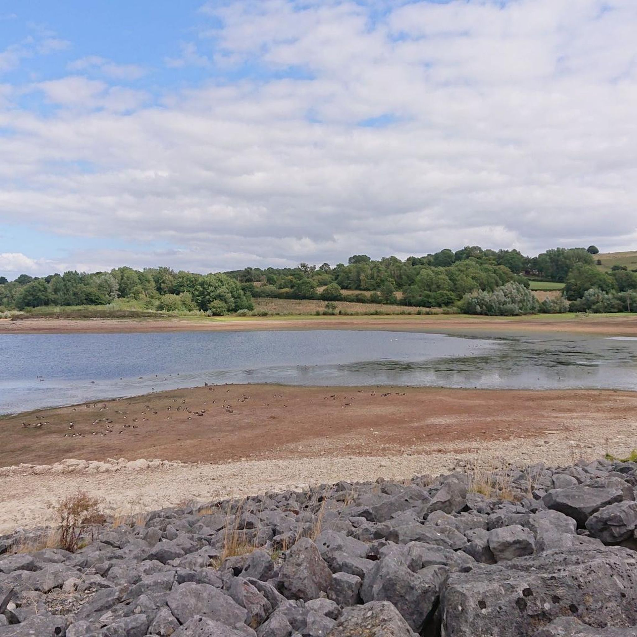
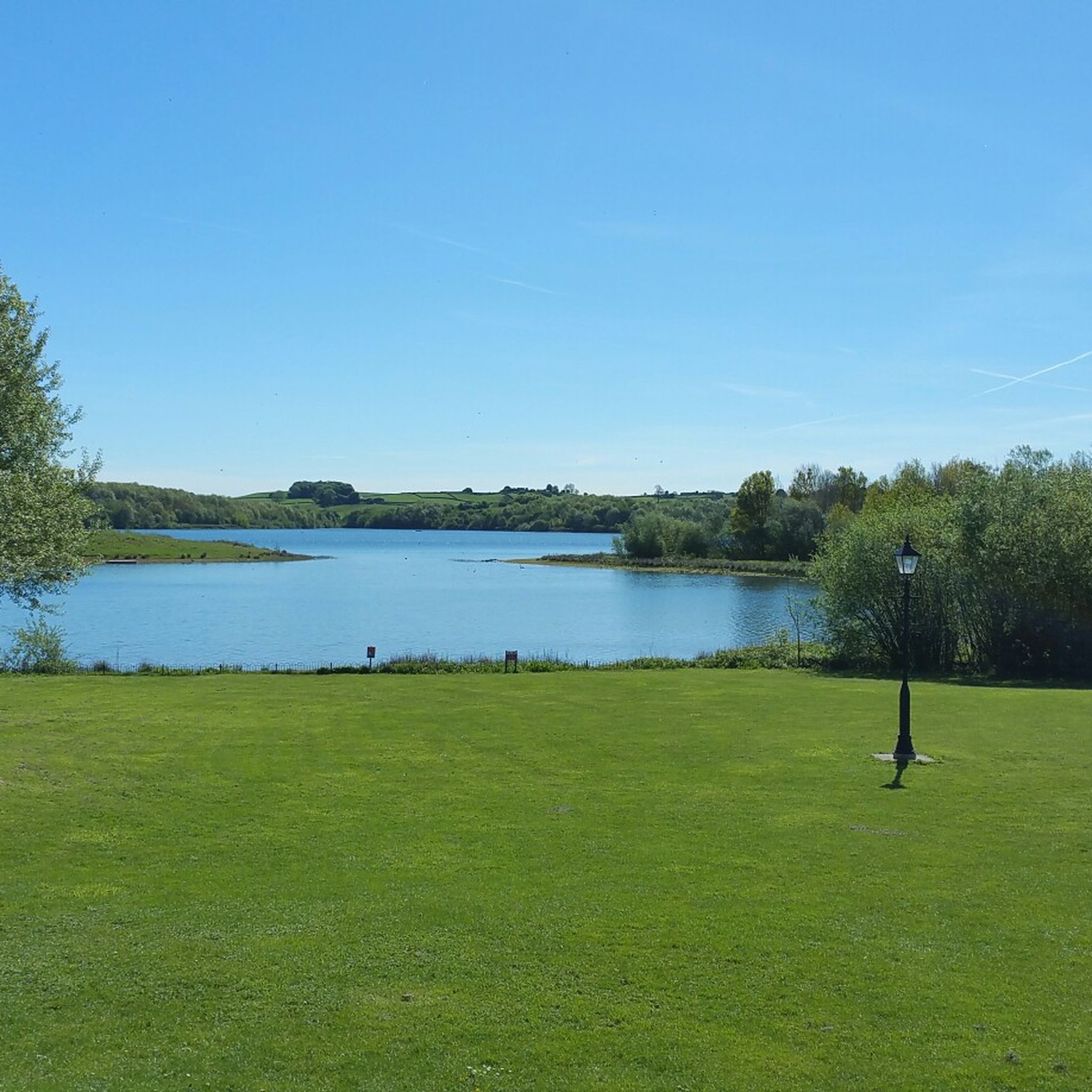
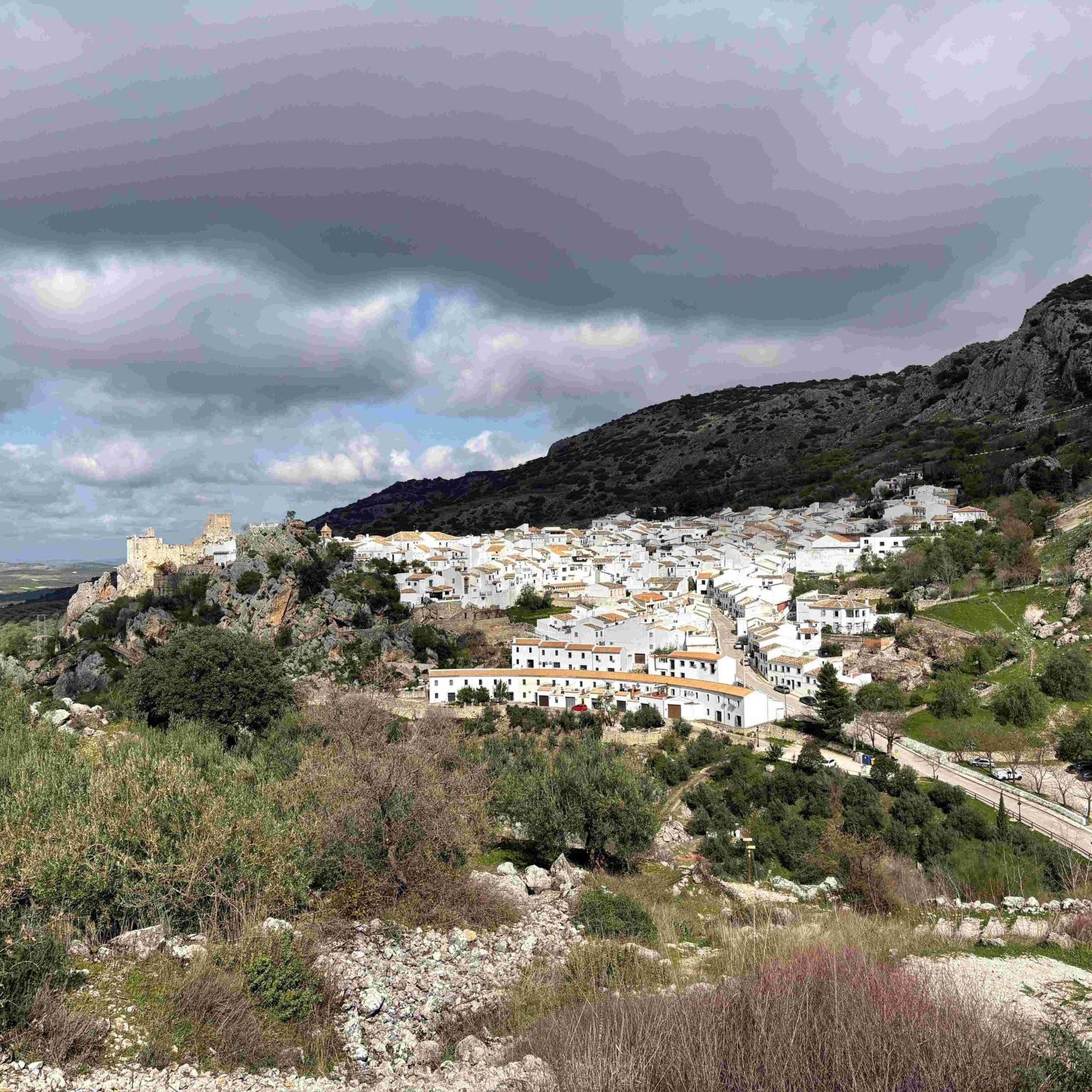
Tips from the Community

It's smooth gravel - road bikes are fine, but there is a roady way around too if you prefer. It's just a busy road so I was very happy to avoid it🥲
0
0

I think you can buy cheese from the factory shop.
0
0
It’s a great ride along country lanes and very little traffic.
0
0

Great little Cafe with friendly staff. Although on the main road, cyclists can take their bikes round the back of the cafe. Enter by the side of the barbers next door.
0
0

I always seem to hit this climb when I've already got plenty of miles in my legs! So it's always a challenge but a measured pace is key. Road surface is good and there's enough room for cars to get past you and not be breathing down your neck. 😉
0
0

A decent longish climb up through Brassington to Longcliffe. Pretty steep through the village then keeps on giving as you leave!
0
0
Frequently Asked Questions
What kind of terrain can I expect when road cycling around Brailsford?
Brailsford offers a diverse landscape for road cycling. You'll find a mix of gentle, rolling countryside and quiet country lanes in the immediate vicinity, which are generally not steep. As you venture further towards the Peak District, the topography becomes more challenging with more demanding ascents. The area is characterized by picturesque White Peak countryside, limestone walls, green fields, and dales, with most surfaces being paved.
How many road cycling routes are available around Brailsford on komoot?
There are over 10 road cycling routes around Brailsford available on komoot, catering to various skill levels. These include easy loops and more moderate rides with greater elevation gain.
Are there any family-friendly road cycling routes near Brailsford?
While the immediate Brailsford area has quiet lanes, for dedicated traffic-free and family-friendly cycling, consider the nearby Tissington Trail or High Peak Trail. These former railway lines offer mostly flat, compacted gravel surfaces suitable for all ages and abilities. The Tissington Trail, for instance, is 13 miles long and connects Ashbourne to Parsley Hay.
What are some notable landmarks or attractions I can see along road cycling routes?
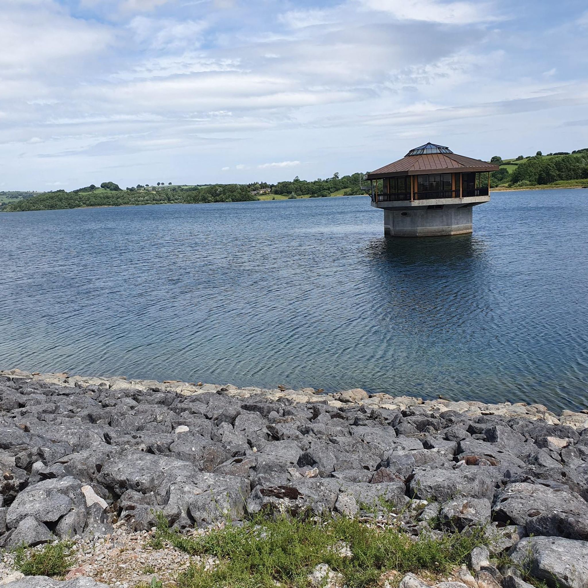
Many routes offer stunning scenery and wide-open views. You can cycle past Carsington Water, a large reservoir with an 8-mile circular trail. Other highlights in the broader area include the Alport Heights Summit, offering panoramic views, and the Belper River Gardens and the Stone Bridge.
What do other road cyclists enjoy most about cycling in Brailsford?
The komoot community highly rates road cycling in Brailsford, with an average score of 4.7 stars from over 40 reviews. Cyclists often praise the varied terrain, the quiet country lanes, and the scenic beauty of the White Peak countryside, which offers constant variety and stunning views.
Are there any specific trails or routes that incorporate Carsington Water?
Yes, a popular route is the Carsington Water – View of Carsington Water loop from Brailsford CP. This moderate 31.3-mile (50.4 km) trail offers excellent views of Carsington Water and the surrounding countryside. Another option is the Carsington Water – Longcliffe Descent loop from Brailsford CP, a 57.4 km moderate ride.
Where can I find parking for road cycling routes in Brailsford?
Many routes, such as the Carsington Water – View of Carsington Water loop and Cromford Hill – Holly Bush Inn loop, start from Brailsford CP (Car Park). Other routes like the Longford Old Mill – Newland Farm Café loop and Lad Hole Lane – The Shoulder of Mutton Pub loop begin from Hollington CP, providing convenient starting points for your ride.
What is the best time of year for road cycling in Brailsford?
The region's rolling countryside and wide-open views are enjoyable throughout much of the year. Spring and summer offer pleasant weather for exploring, while autumn brings beautiful foliage. Winter cycling is possible, but be mindful of potentially colder temperatures and shorter daylight hours, especially on exposed routes.
Are there any cafes, pubs, or accommodation options for cyclists in Brailsford or nearby?
Yes, the area caters to cyclists. Routes like the Longford Old Mill – Newland Farm Café loop pass by the Newland Farm Café, and the Lad Hole Lane – The Shoulder of Mutton Pub loop includes The Shoulder of Mutton Pub. The Tissington and High Peak Trails also offer refreshments along the way. Brailsford village itself and nearby towns provide various amenities, including pubs and accommodation.
Can I access the Tissington Trail or High Peak Trail from Brailsford?
While Brailsford is not directly on these trails, its proximity allows for relatively easy access. The Tissington Trail starts in Ashbourne, which is a short distance from Brailsford. The High Peak Trail runs from Cromford to Parsley Hay. You would typically cycle a short distance on roads to reach the trailheads for these traffic-free routes.
Do I need a permit to cycle on the roads or trails around Brailsford?
Generally, no specific permits are required for cycling on public roads or the designated traffic-free trails like the Tissington Trail and High Peak Trail in the Brailsford area. These routes are freely accessible for cyclists.
Most popular attractions around Brailsford

Get inspired with the komoot mobile app


Explore more
Browse the best Road cycling routes in other regions.
