The best running trails around Linch
4.4
(76)
4,773
runners
438
runs
Jogging routes around Linch traverse the varied landscapes of the South Downs National Park, featuring rolling hills, expansive commons, and ancient woodlands. The region is characterized by its diverse terrain, offering paths through open heathland, alongside tranquil ponds, and to scenic viewpoints. Runners can explore a network of trails that wind through areas like Woolbeding Common and offer access to the South Downs Way.
Best jogging routes around Linch
- The most popular jogging route is View of Chapel Common –…
Last updated: August 6, 2026
26
runners
9.89km
01:03
80m
80m
Moderate run. Good fitness required. Mostly paved surfaces. Suitable for all skill levels.
30
runners
10.7km
01:13
90m
90m
Moderate run. Good fitness required. Mostly paved surfaces. Suitable for all skill levels.

Sign up for free
15
runners
8.75km
00:55
60m
60m
Moderate run. Good fitness required. Mostly paved surfaces. Suitable for all skill levels.
10
runners
12.5km
01:24
110m
110m
Moderate run. Good fitness required. Mostly paved surfaces. Suitable for all skill levels.
5.0
(1)
8
runners
11.7km
01:16
110m
110m
Moderate run. Good fitness required. Mostly paved surfaces. Suitable for all skill levels.
Get access to more routes and recommendations from other explorers.
Sign up for free
Already have an account?
Our route recommendations are based on thousands of hikes, rides, and runs completed by other people on komoot.
Start today with a free account
Your next adventure awaits.
Login or Signup

Tips from the Community

Heading out of Liphook, away from the traffic, picking up the quiet path of the Shipwrights way. There are options along here to link up to the Serpents trail also.
1
0


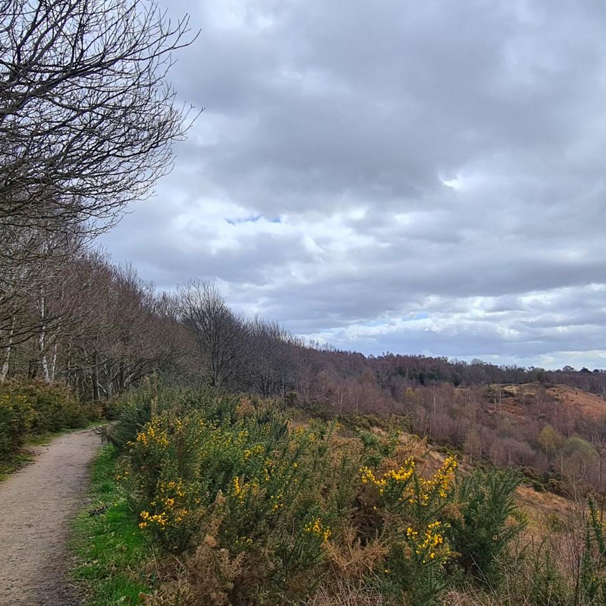
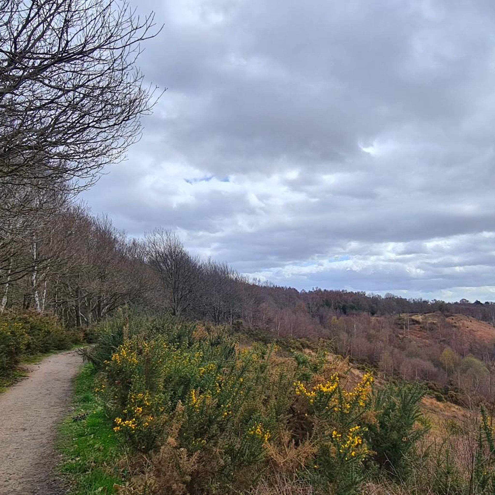
This is a beautiful view over heathland to Chapel Common. The heathland turns purple in the spring months creating the most beautiful scene.
1
0


The New Lipchis Way is a 39 mile route from Liphook to East Head at the entrance to Chichester Harbour.
0
0

13th century church with beautiful windows and ceiling. The churchyard includes the graves of more then 300 Canadian servicemen who died here during the first world war, many from the influenza epidemic in 1918.
0
0
Fun and generally rideable all year round. Sandy ground makes it rideable even in the depths of winter.
0
0

Loads of outside seating, bike racks, cozy inside and good food.
0
0
Frequently Asked Questions
How many running routes are available around Linch?
There are over 400 running routes in the Linch area, offering a wide variety of options for all skill levels. The komoot community has explored these trails extensively, contributing to their high average rating.
What kind of terrain can I expect on running trails near Linch?
Running routes around Linch traverse the varied landscapes of the South Downs National Park. You can expect rolling hills, expansive commons, and ancient woodlands. The region is characterized by diverse terrain, including paths through open heathland, alongside tranquil ponds, and to scenic viewpoints.
Are there any easy running routes suitable for beginners in Linch?
Yes, Linch offers several easy running routes perfect for beginners. For example, the Number 2 Café loop from Liphook is an easy 2.9-mile (4.7 km) trail with minimal elevation gain, making it a great starting point.
Can I find circular running routes in the Linch area?
Many of the running routes around Linch are circular, allowing you to start and finish at the same point. Examples include the popular View of Chapel Common – Great Ridge Trail loop from Liphook and the Liphook Village Centre – Folly Pond loop from Liphook.
Are the running trails around Linch dog-friendly?
While specific regulations can vary, many trails within the South Downs National Park are dog-friendly, especially if dogs are kept on a lead to protect wildlife and livestock. It's always recommended to check local signage or specific route details for any restrictions.
What are some good running routes for families with children?
For families, routes with gentler terrain and shorter distances are ideal. The Number 2 Café loop from Liphook is an easy option. Many of the trails through commons and woodlands offer a pleasant experience for all ages, but always check the route's difficulty and length beforehand.
Are there scenic viewpoints along the running trails in Linch?
Absolutely. The Linch area, being part of the South Downs National Park, offers numerous scenic viewpoints. Notable spots include the Temple of the Wind Viewpoint and the Black Down Summit and Viewpoint, which can be incorporated into longer runs like the Temple of the Wind Viewpoint – Black Down Viewpoint loop from Liphook.
What do other runners say about the trails in Linch?
The running trails in Linch are highly rated by the komoot community, with an average score of 4.4 stars from over 50 reviews. Runners often praise the varied terrain, the beauty of the South Downs National Park, and the well-maintained paths through woodlands and commons.
Are there options for longer, more challenging runs near Linch?
Yes, for those seeking a challenge, Linch offers routes with significant elevation gain and longer distances. The Temple of the Wind Viewpoint – Black Down Viewpoint loop from Liphook is a difficult 15.1-mile (24.3 km) trail with nearly 400 meters of ascent, perfect for experienced runners.
Is parking available near the running trails in Linch?
Parking is generally available at various access points to the South Downs National Park and near trailheads in villages like Liphook. Specific parking information can often be found in the details of individual komoot routes or by checking local council websites.
What is the best time of year to go running in Linch and the South Downs National Park?
The South Downs National Park offers beautiful running conditions year-round. Spring brings vibrant wildflowers, while autumn showcases stunning foliage. Summer is popular for longer days, and even winter runs can be invigorating with crisp air and fewer crowds, though some paths may be muddy.
Are there any places to eat or drink near the running routes in Linch?
Yes, villages surrounding Linch, such as Liphook, offer cafes and pubs where you can refuel after your run. Some routes, like the Number 2 Café loop from Liphook, even incorporate local eateries into their names, suggesting convenient stops.
What are some natural features or landmarks I might see while running in Linch?
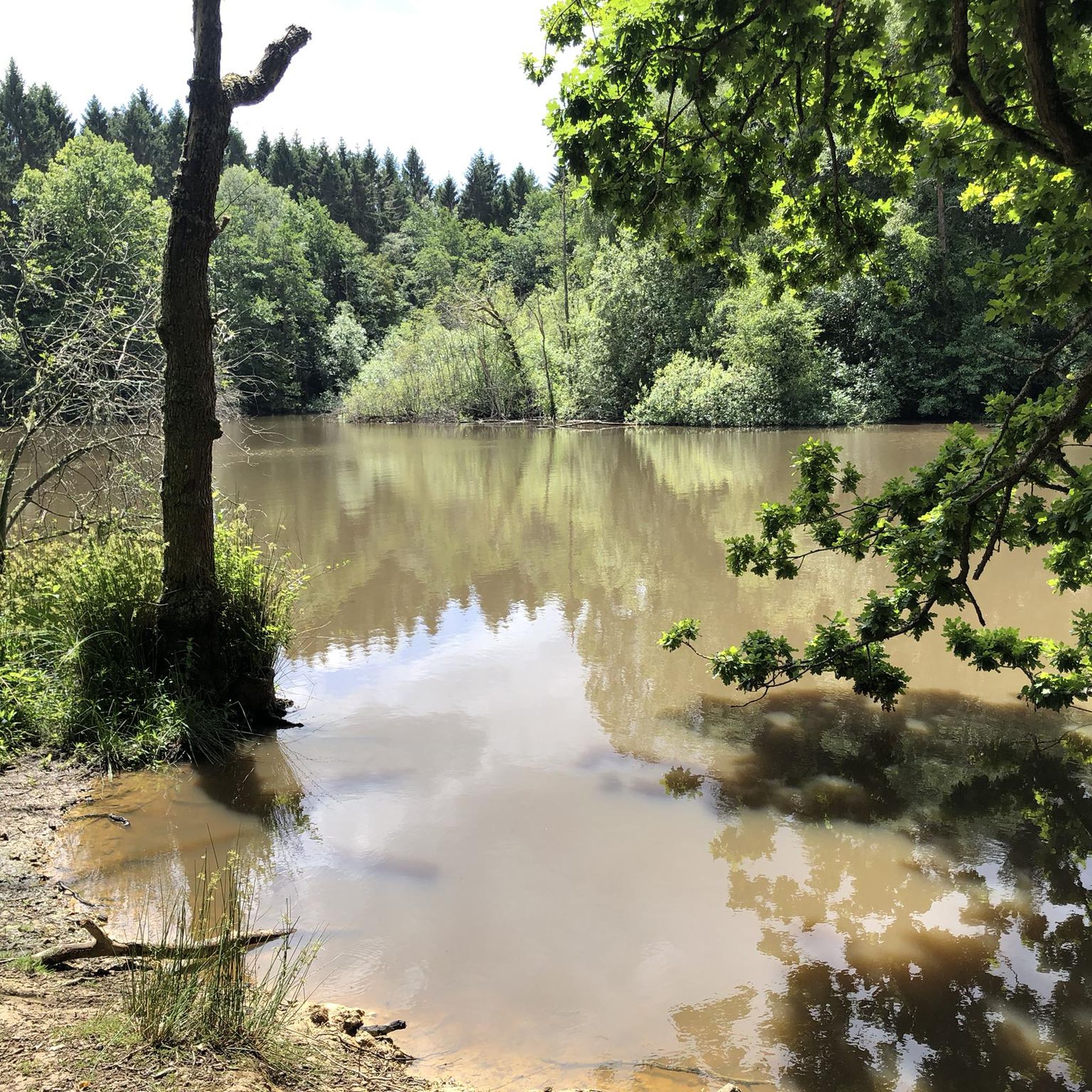
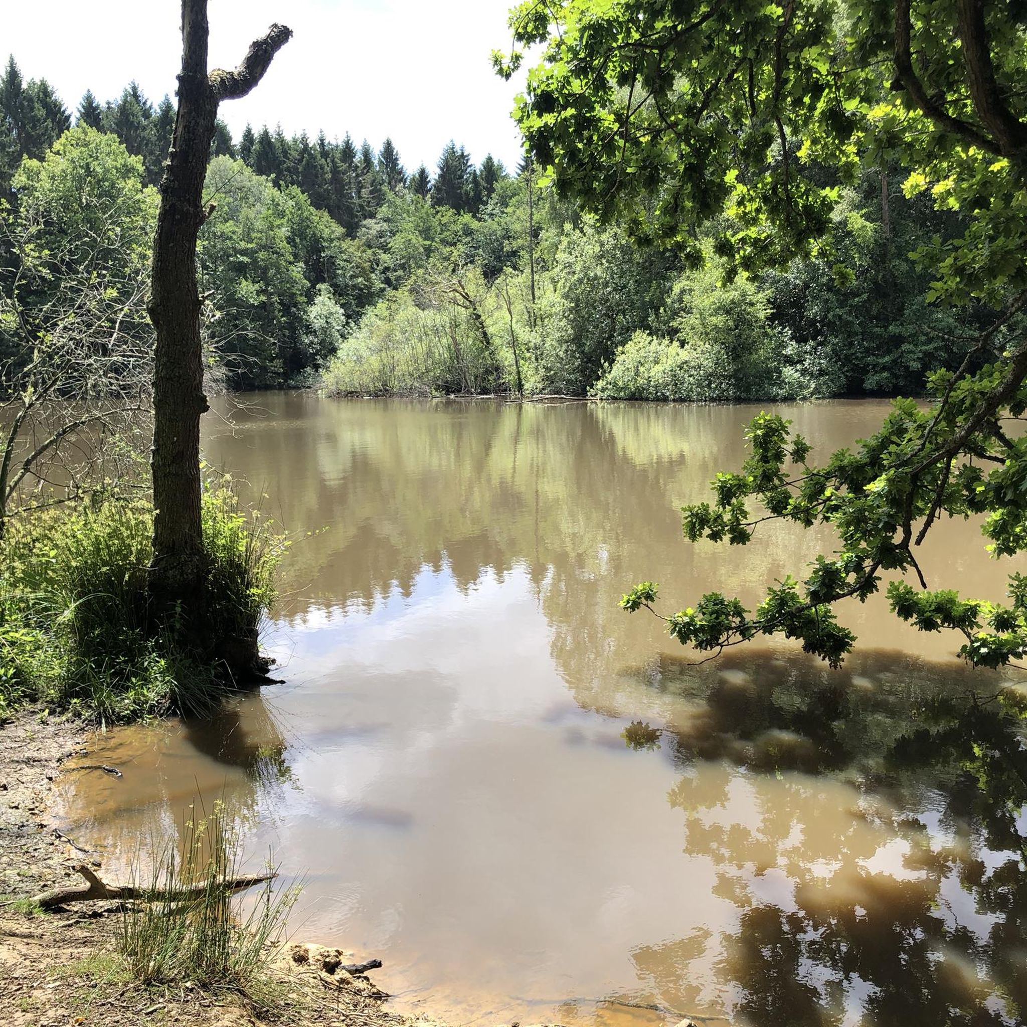
Beyond the rolling hills and woodlands, you might encounter tranquil bodies of water like Folly Pond or South Pond, Midhurst. The area also features natural monuments such as the Top of Highcombe Copse, adding interest to your run.
Most popular attractions around Linch

Get inspired with the komoot mobile app


Explore more
Browse the best Running Trails & Routes in other regions.
